- High Plains (United States)
-
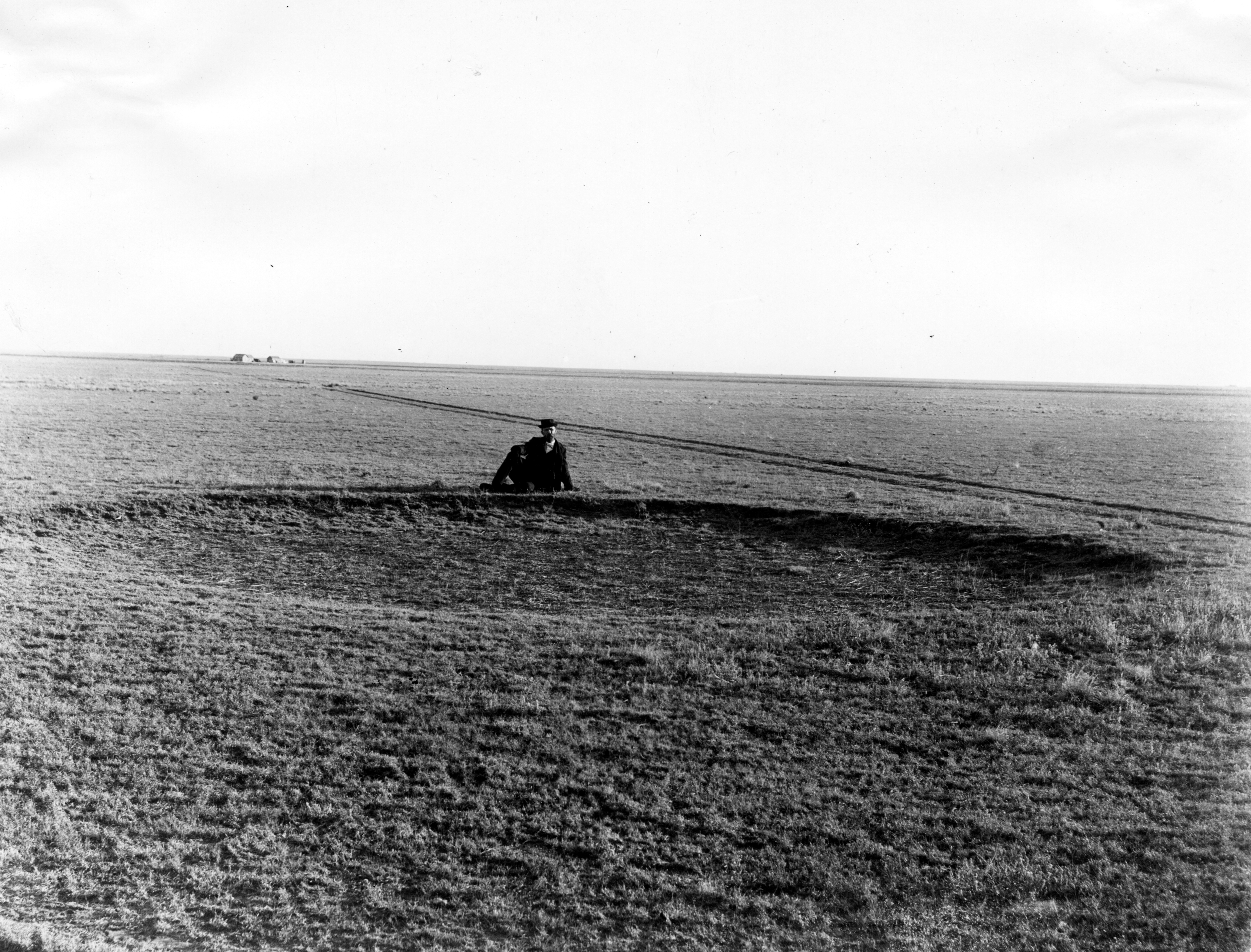
High Plains physiographic region  An 1897 photograph of a buffalo wallow, underlain by the Ogallala Aquifer (Haskell County, Kansas)[1]
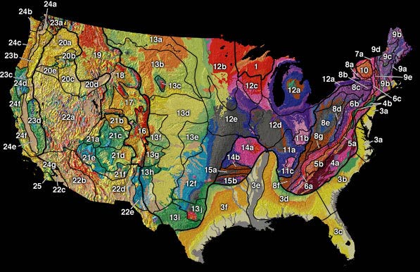
Country United States Coordinates 39°N 102°W / 39°N 102°W Highest point - elevation 7,800 ft (2,377 m) [2] Lowest point - elevation 1,160 ft (354 m) [2] Length 800 mi (1,287 km) Width 400 mi (644 km) Area 174,000 sq mi (450,658 km2) [2]  Physiographic regions of the United States. The High Plains region is the center yellow area designated 13d.[3]
Website: United States Department of the Interior - This article is about a geographic region in the United States. For the High Plains of Australia, see High Plains (Australia).
The High Plains are a subregion of the Great Plains mostly in the Western United States, but also partly in the Midwest states of Nebraska, Kansas, and South Dakota, generally encompassing the western part of the Great Plains before the region reaches the Rocky Mountains. The High Plains are located in southeastern Wyoming, southwestern South Dakota, western Nebraska, eastern Colorado, western Kansas, eastern New Mexico, western Oklahoma and northwestern Texas. From east to west, the High Plains rise in elevation from around 1,160 feet (350 m) to over 7,800 feet (2,400 m).[2]
The term "Great Plains", for the region west of about the 96th or 98th meridian and east of the Rocky Mountains, was not generally used before the early 20th century. Nevin Fenneman's 1916 study, Physiographic Subdivision of the United States,[4] brought the term Great Plains into more widespread usage. Prior to 1916, the region was almost invariably called the High Plains, in contrast to the lower Prairie Plains of the Midwestern states.[5] Today the term "High Plains" is usually used for a subregion instead of the whole of the Great Plains.
The High Plains are semi-arid, receiving between 10–20 inches (250–510 mm) of precipitation annually. Shortgrass prairie, prickly pear cacti and scrub vegetation cover the region, with occasional buttes or other rocky outcrops. Agriculture in the forms of cattle ranching and the growing of wheat, cotton and sunflowers is the primary economic activity in the region. The aridity of the region necessitates either dryland farming methods or irrigation; much water for irrigation is drawn from the underlying Ogallala Aquifer, which makes it possible to grow water-intensive crops such as cotton, which the region's aridity would otherwise not support.[citation needed] Some areas of the High Plains have significant petroleum and natural gas deposits.
The High Plains has one of the lowest population densities of any region in the continental United States; Wyoming, for example, has the second lowest population density in the country before Alaska. In contrast to the rather low and stagnant population in the northern and western High Plains, cities in west Texas have shown sustained growth; Amarillo and Lubbock both have populations near or above 200,000 and continue to grow.[citation needed] Smaller towns, on the other hand, often struggle to sustain their population.
Due to low moisture and high elevation, the High Plains commonly experiences wide ranges and extremes in temperature. The temperature range from day to night commonly exceeds 59 °F (15 °C), and 24-hour temperature shifts of 68 to 77 °F (20 to 25 °C) are not unknown[citation needed]. The region is known for the steady, and sometimes intense, winds that prevail from the west. The winds add a considerable wind chill factor in the winter. The development of wind farms in the High Plains is one of the newest areas of economic development.
The combination of oil, natural gas, and wind energy along with plentiful underground water, has allowed some areas (such as West Texas) to sustain a range of economic activity, including occasional industry. For example, the ASARCO refinery in Amarillo, Texas has been in operation since 1924 due to the plentiful and inexpensive natural gas and water that are needed in metal ore refining.[citation needed]
-
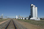
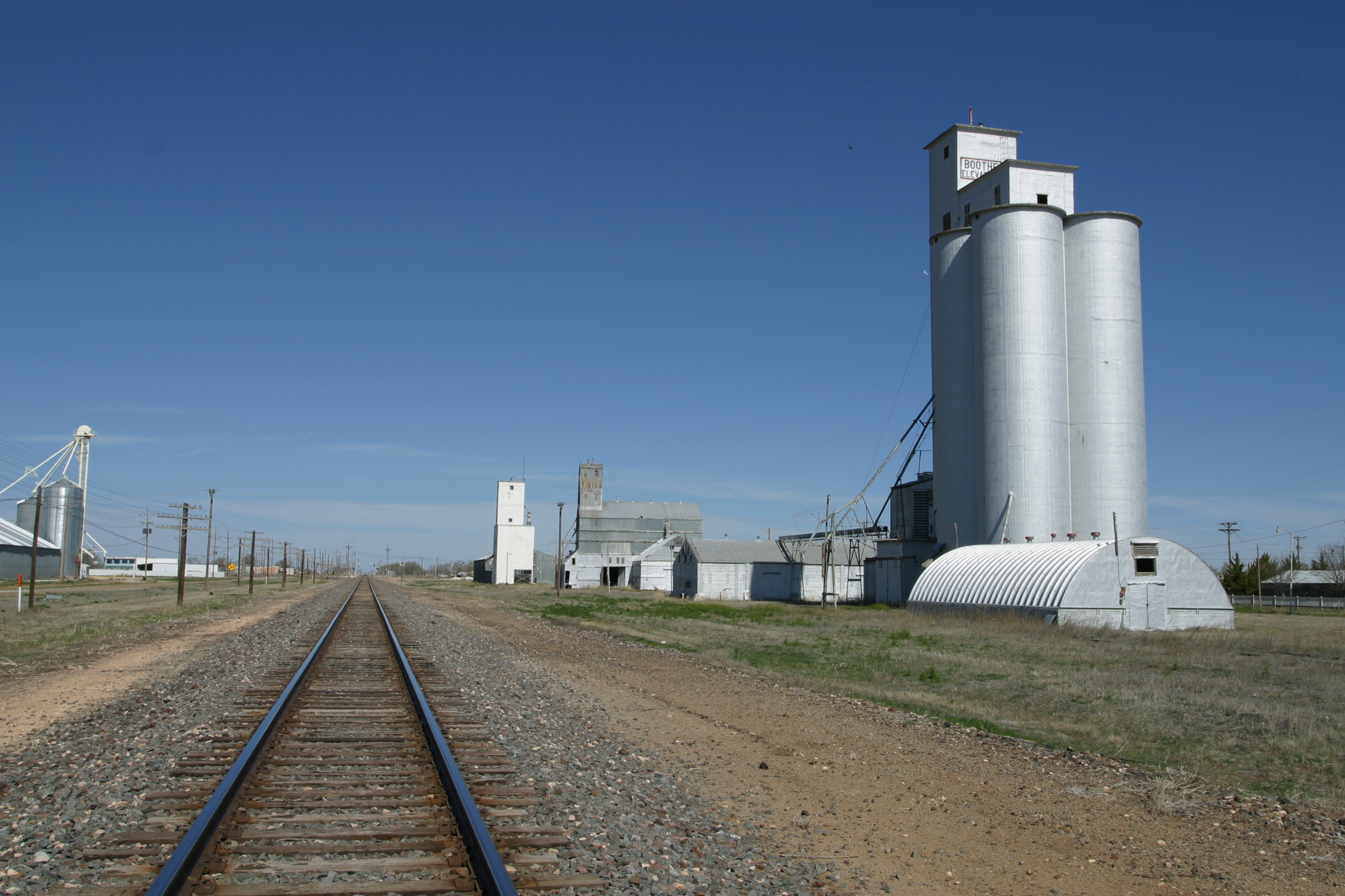
Typical scene on the High Plains of West Texas (2010)
-
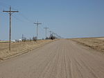
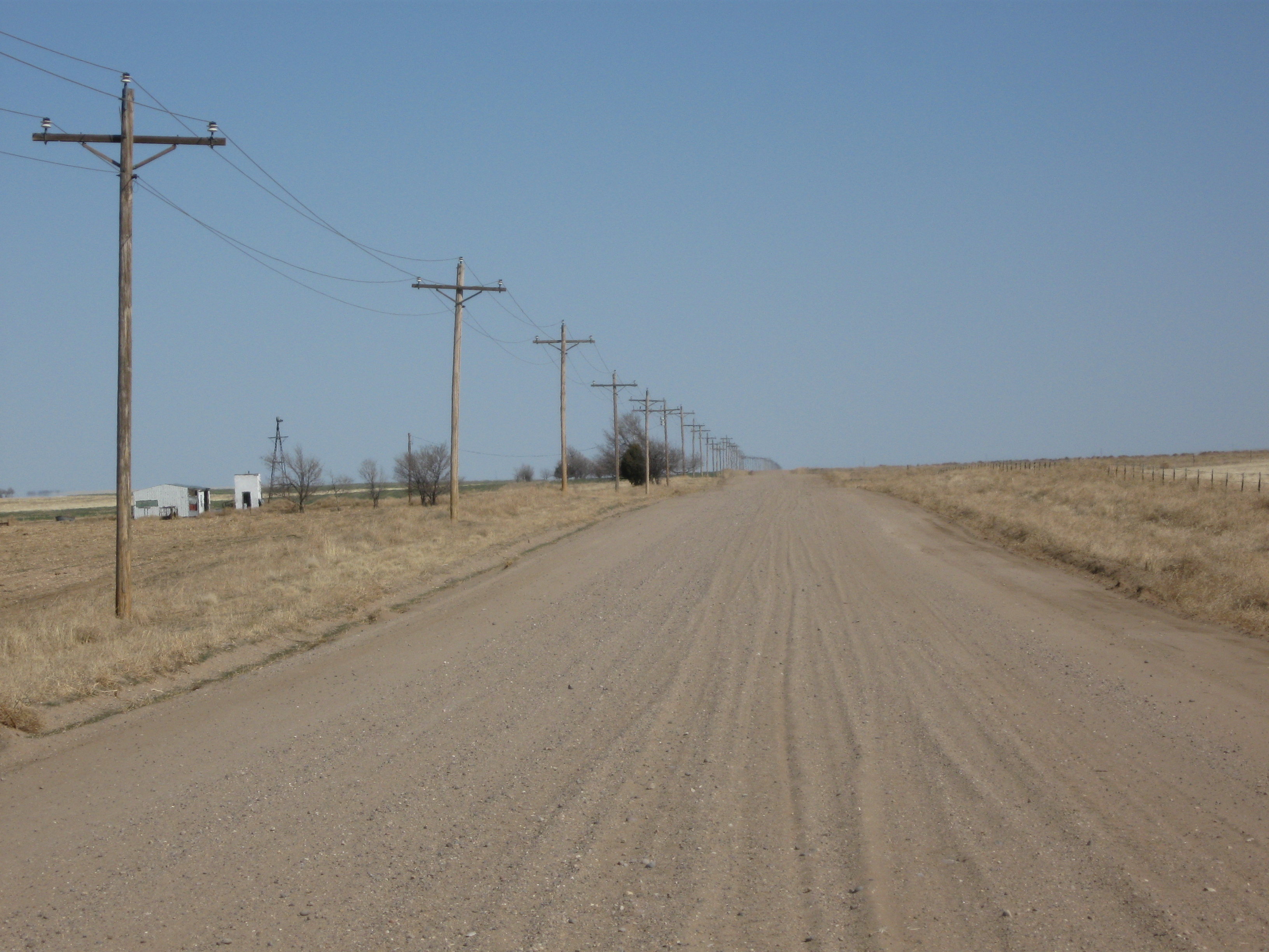
High Plains in Southeastern Colorado (2009)
-

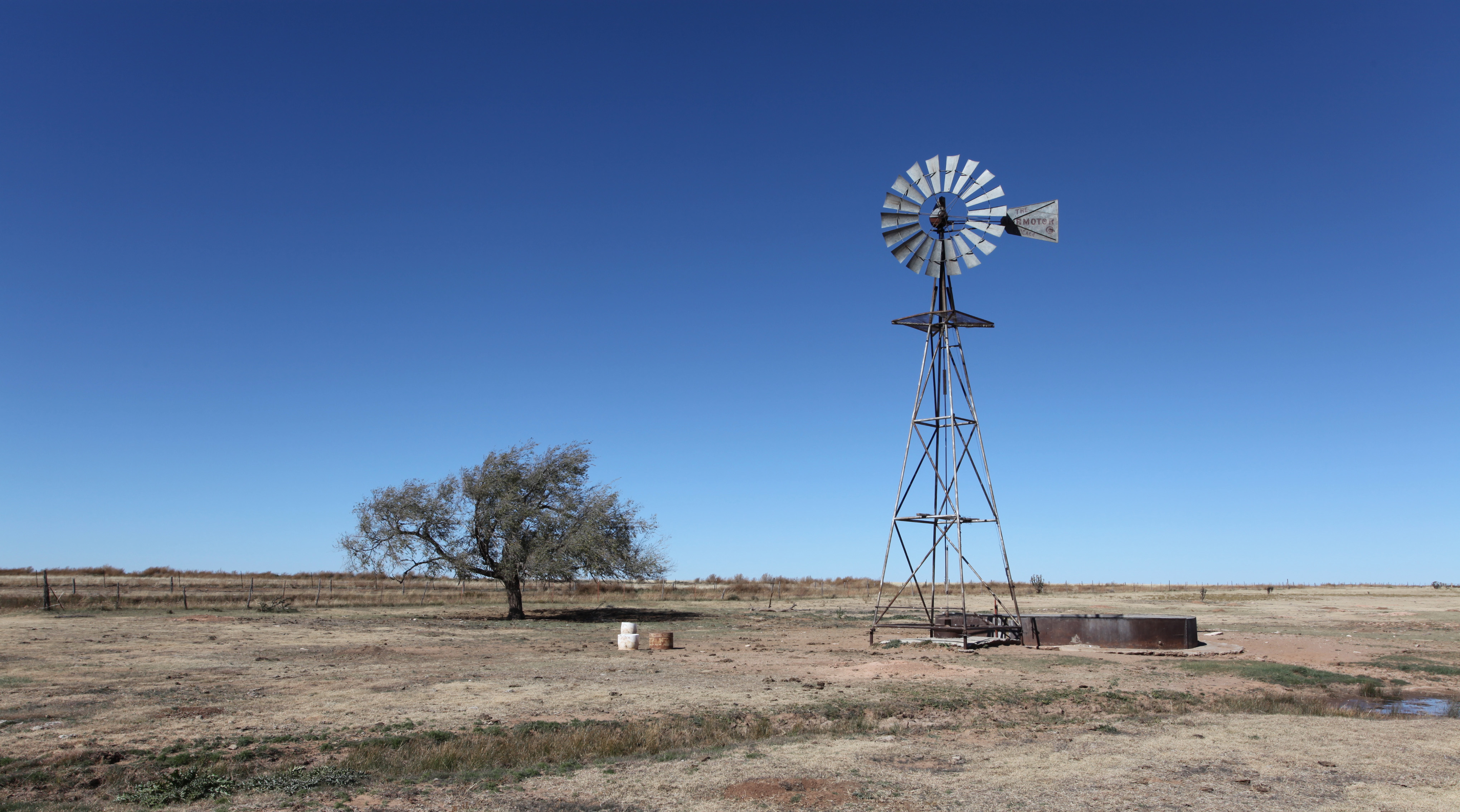
Windmill on the Llano Estacado (2010)
See also
- Flora of the Great Plains (North America)
- Flora of the Plains-Midwest (United States)
- Great American Desert
- North American Prairies Province
- Shortgrass prairie
- Western short grasslands
- Texas High Plains AVA, wine region in the Texas section of the High Plains
- Dust bowl
- Llano Estacado
- Steppe
- Temperate grasslands, savannas, and shrublands - Biome
- Tibetan Plateau
- Wind power in Texas
Notes
- ^ Darton, Nelson Horatio (1920). Syracuse-Lakin folio, Kansas. Folios of the Geologic Atlas, No. 212: United States Department of the Interior, U.S. Geological Survey. p. 17 (plate 2). http://repository.tamu.edu/handle/1969.1/3678.
- ^ a b c d "USGS High Plains Aquifer WLMS". U.S. Department of the Interior. U.S. Geological Survey. http://ne.water.usgs.gov/ogw/hpwlms/physsett.html. Retrieved 2010-10-06.
- ^ "Physiographic Regions". U.S. Department of the Interior. U.S. Geological Survey. http://tapestry.usgs.gov/physiogr/physio.html. Retrieved 2010-10-06.
- ^ Fenneman, Nevin M. (January 1917). "Physiographic Subdivision of the United States". Proceedings of the National Academy of Sciences of the United States of America 3 (1): 17–22. OCLC 43473694. PMC 1091163. PMID 16586678. http://www.pubmedcentral.nih.gov/articlerender.fcgi?tool=pmcentrez&artid=1091163. Retrieved 5 October 2010.
- ^ Brown, Ralph Hall (1948). Historical Geography of the United States. New York: Harcourt, Brace & Co. pp. 373–374. OCLC 186331193.
External links
- High Plains Regional Climate Center High Plains climatological resources
- High Plains information - U.S. Department of the Interior (with map)
- Trains on the High Plains
Categories:- Grasslands of the Great Plains (U.S.)
- Temperate grasslands, savannas, and shrublands in the United States
- Ecoregions of the United States
- Flora of the Plains-Midwest (United States)
- Regions of the Western United States
- Regions of Colorado
- Regions of Kansas
- Regions of Montana
- Regions of Nebraska
- Regions of North Dakota
- Regions of South Dakota
- Regions of Oklahoma
- Regions of Texas
- Regions of Wyoming
- Great Plains
- Physiographic sections
- Nearctic
Wikimedia Foundation. 2010.