- Cherry County, Nebraska
-
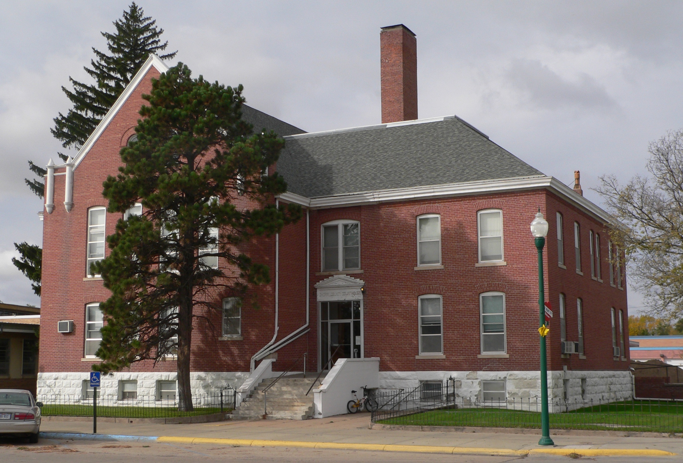
Cherry County, Nebraska  Cherry County Courthouse in Valentine, Nebraska
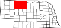
Location in the state of Nebraska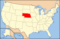
Nebraska's location in the U.S.Founded 1883 Seat Valentine Largest city Valentine Area
- Total
- Land
- Water
6,010 sq mi (15,566 km²)
5,961 sq mi (15,439 km²)
49 sq mi (127 km²), 0.82%Population
- (2000)
- Density
6,148
1/sq mi (0.39/km²)Website www.co.cherry.ne.us Cherry County is a county located in the U.S. state of Nebraska. It was named for Lt. Samuel A. Cherry, an Army officer who was stationed at Fort Niobrara and who had been killed in South Dakota in 1881.[1] The population was 6,148 at the 2000 census. Its county seat is Valentine.[2] Cherry is located in the Outback area of Nebraska.[3]
In the Nebraska license plate system, Cherry County is represented by the prefix 66 (it had the sixty-sixth-largest number of vehicles registered in the state when the license plate system was established in 1922).
Contents
Geography
According to the U.S. Census Bureau, the county has a total area of 6,010 square miles (15,565.8 km2). 5,961 square miles (15,438.9 km2) is land and 49 square miles (126.9 km2) (0.82%) is water.[4] It is by far the largest county in land area in Nebraska and larger than the states of Connecticut, Delaware, or Rhode Island. The county is within what is known as the Sand Hills region of Nebraska, the dunes which lent the region its name being the end result of the last ice age, known as the Pinedale glaciation. During the Holocene glacial retreat the sand dunes, which had been deposited in their current location by the vast continental glaciers, were exposed and grasses eventually took over.
Major highways
 U.S. Highway 20
 U.S. Highway 83
 Nebraska Highway 12
 Nebraska Highway 61
 Nebraska Highway 97
Adjacent counties
- Bennett County, South Dakota - north
- Todd County, South Dakota - north
- Tripp County, South Dakota - northeast
- Brown County, Nebraska - east
- Keya Paha County, Nebraska - east
- Blaine County, Nebraska - southeast
- Grant County, Nebraska - south
- Thomas County, Nebraska - south
- Hooker County, Nebraska - south
- Sheridan County, Nebraska - west
- Shannon County, South Dakota - northwest
Cherry County is unusual in being split between two time zones, Mountain Time and Central Time. The lines between the two runs roughly north to south along the eastern third of the county. Cherry County is also the location of the Valentine National Wildlife Refuge, the Fort Niobrara National Wildlife Refuge, the Samuel R. McKelvie National Forest, and the western portion of the Niobrara National Scenic River.
Demographics
Cherry County
Population by decade1890 - 6,428
1900 - 6,541
1910 - 10,414
1920 - 11,753
1930 - 10,898
1940 - 9,637
1950 - 8,397
1960 - 8,218
1970 - 6,846
1980 - 6,758
1990 - 6,307
2000 - 6,148As of the census[5] of 2000, there were 6,148 people, 2,508 households, and 1,710 families residing in the county. The population density was 1.02 people per square mile (0.39/km²). There were 3,220 housing units at an average density of 0 per square mile (0/km²). The racial makeup of the county was 94.19% White, 0.07% Black or African American, 3.25% Native American, 0.42% Asian, 0.02% Pacific Islander, 0.33% from other races, and 1.72% from two or more races. 0.93% of the population were Hispanic or Latino of any race. 38.5% were of German, 12.6% English, 11.1% Irish and 7.3% American ancestry according to Census 2000.
There were 2,508 households out of which 31.70% had children under the age of 18 living with them, 57.90% were married couples living together, 6.90% had a female householder with no husband present, and 31.80% were non-families. 28.90% of all households were made up of individuals and 12.70% had someone living alone who was 65 years of age or older. The average household size was 2.42 and the average family size was 2.98.
In the county the population was spread out with 27.00% under the age of 18, 6.20% from 18 to 24, 25.50% from 25 to 44, 24.00% from 45 to 64, and 17.30% who were 65 years of age or older. The median age was 39 years. For every 100 females there were 98.80 males. For every 100 females age 18 and over, there were 93.60 males.
The median income for a household in the county was $29,268, and the median income for a family was $36,500. Males had a median income of $23,705 versus $17,277 for females. The per capita income for the county was $15,943. About 9.60% of families and 12.30% of the population were below the poverty line, including 13.40% of those under age 18 and 14.20% of those age 65 or over.
Communities
City
Villages
Unincorporated communities
Notable Ranches
Time zones
Cherry County is in both the Central and Mountain time zones. The eastern third of the county, including county seat Valentine, is in the Central Time Zone, while the western two thirds, including Merriman, are in the Mountain Time Zone.
Cherry County is one of the few US counties in two time zones. Gulf County, Florida uses Eastern Time and Central Time. Idaho County, Idaho, and Malheur County, Oregon, use Mountain and Pacific time.
See also
References
- ^ Cherry County, Nebraska Association of County Officials, 2004. Accessed 2008-04-30.
- ^ "Find a County". National Association of Counties. http://www.naco.org/Counties/Pages/FindACounty.aspx. Retrieved 2011-06-07.
- ^ "About", North Central RC&D. Retrieved 9/17/07.
- ^ "US Gazetteer files: 2010, 2000, and 1990". United States Census Bureau. 2011-02-12. http://www.census.gov/geo/www/gazetteer/gazette.html. Retrieved 2011-04-23.
- ^ "American FactFinder". United States Census Bureau. http://factfinder.census.gov. Retrieved 2008-01-31.
External links
Municipalities and communities of Cherry County, Nebraska City 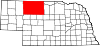
Villages Unincorporated
communitiesGhost town Categories:- Nebraska counties
- Cherry County, Nebraska
- Counties in multiple time zones


Wikimedia Foundation. 2010.