- Nance County, Nebraska
-
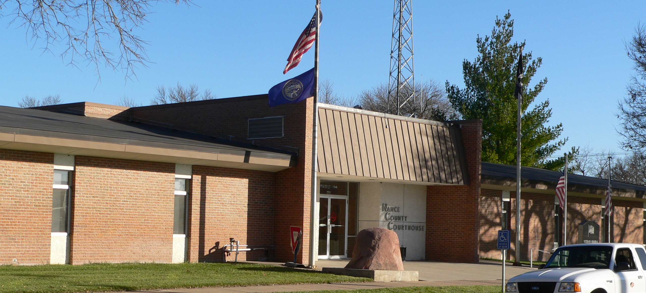
Nance County, Nebraska  Nance County courthouse in Fullerton
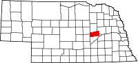
Location in the state of Nebraska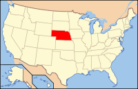
Nebraska's location in the U.S.Founded 1879 Seat Fullerton Largest city Fullerton Area
- Total
- Land
- Water
448 sq mi (1,160 km²)
441 sq mi (1,142 km²)
7 sq mi (18 km²), 1.50%Population
- (2010)
- Density
3,735
10/sq mi (4/km²)Website www.co.nance.ne.us Nance County is a county located in the U.S. state of Nebraska. As of 2010, the population was 3,735.[1] Its county seat is Fullerton[2].
In the Nebraska license plate system, Nance County is represented by the prefix 58 (it had the fifty-eighth-largest number of vehicles registered in the county when the license plate system was established in 1922).
Contents
Geography
According to the U.S. Census Bureau, the county has a total area of 448 square miles (1,160 km2), of which, 441 square miles (1,140 km2) of it is land and 7 square miles (18 km2) of it (1.50%) is water.
Major highways
Adjacent counties
- Platte County, Nebraska - (Northeast)
- Merrick County, Nebraska - (South)
- Greeley County, Nebraska - (West)
- Boone County, Nebraska - (North)

Boone County Platte County Greeley County 
 Nance County, Nebraska

Merrick County History
The land that comprises Nance County was originally part of the Pawnee Reservation, created in 1857 when the Pawnee Indians signed a treaty with the United States ceding its lands in exchange for the reservation.[3] After the state of Nebraska was admitted into the Union, the state government extinguished the tribe's rights to their land. It soon sold the land and used the proceeds to defray expenses to obtain lands elsewhere for the Indians.[4] In the mid-1870s the remainder of the reservation was sold, and in 1876 the tribe was relocated to its present-day location in central Oklahoma.[5][6] The boundaries for Nance County were approved in 1879. It was named after Governor Albinus Nance.[7]
Nearly all the land in Nance County was purchased by settlers or by investors for resale, instead of the homestead provisions common to most of Nebraska.[3]
Demographics
Nance County
Population by decade1870 - 44
1880 - 1,212
1890 - 5,773
1900 - 8,222
1910 - 8,926
1920 - 8,712
1930 - 8,718
1940 - 7,653
1950 - 6,512
1960 - 5,635
1970 - 5,142
1980 - 4,740
1990 - 4,275
2000 - 4,038
2010 - 3,735As of the census[8] of 2000, there were 4,038 people, 1,577 households, and 1,107 families residing in the county. The population density was 9 people per square mile (4/km²). There were 1,787 housing units at an average density of 4 per square mile (2/km²). The racial makeup of the county was 98.39% White, 0.37% Native American, 0.05% Asian, 0.45% from other races, and 0.74% from two or more races. 1.14% of the population were Hispanic or Latino of any race.
There were 1,577 households out of which 32.80% had children under the age of 18 living with them, 60.50% were married couples living together, 5.60% had a female householder with no husband present, and 29.80% were non-families. 27.60% of all households were made up of individuals and 13.80% had someone living alone who was 65 years of age or older. The average household size was 2.49 and the average family size was 3.05.
In the county the population was spread out with 27.90% under the age of 18, 6.80% from 18 to 24, 23.60% from 25 to 44, 22.00% from 45 to 64, and 19.70% who were 65 years of age or older. The median age was 40 years. For every 100 females there were 104.20 males. For every 100 females age 18 and over, there were 101.90 males.
The median income for a household in the county was $31,267, and the median income for a family was $38,717. Males had a median income of $25,349 versus $19,044 for females. The per capita income for the county was $16,886. About 10.20% of families and 13.10% of the population were below the poverty line, including 17.20% of those under age 18 and 9.30% of those age 65 or over.
Cities and village
Townships
- Beaver
- Cedar
- Cottonwood
- Council Creek
- East Newman
- Fullerton
- Genoa
- Loup Ferry
- Prairie Creek
- South Branch
- Timber Creek
- West Newman
See also
References
- ^ http://www.omaha.com/article/20110301/NEWS01/110309991/0
- ^ "Find a County". National Association of Counties. http://www.naco.org/Counties/Pages/FindACounty.aspx. Retrieved 2011-06-07.
- ^ a b "Fullerton--Nance County". Nebraska...Our Towns. Retrieved 2010-09-05.
- ^ (1902) "Kennard v. State of Nebraska, 186 U.S. 304 (1902)", FindLaw. Retrieved 11/29/08.
- ^ "History-Introduction", Pawnee Nation. Retrieved 11/29/08.
- ^ Boughter, J.A. (2004) Major Frank North. Scarecrow Press. p 141.
- ^ "Nance County". Nebraska Association of County Officials. Retrieved 2008-03-15.
- ^ "American FactFinder". United States Census Bureau. http://factfinder.census.gov. Retrieved 2008-01-31.
Municipalities and communities of Nance County, Nebraska Cities 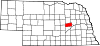
Village Townships Beaver | Cedar | Cottonwood | Council Creek | East Newman | Fullerton | Genoa | Loup Ferry | Prairie Creek | South Branch | Timber Creek | West Newman
Categories:- Nebraska counties
- Nance County, Nebraska


Wikimedia Foundation. 2010.