- Raton, New Mexico
Infobox Settlement
official_name = Raton, New Mexico
settlement_type =City
nickname =
motto =
imagesize = 250px
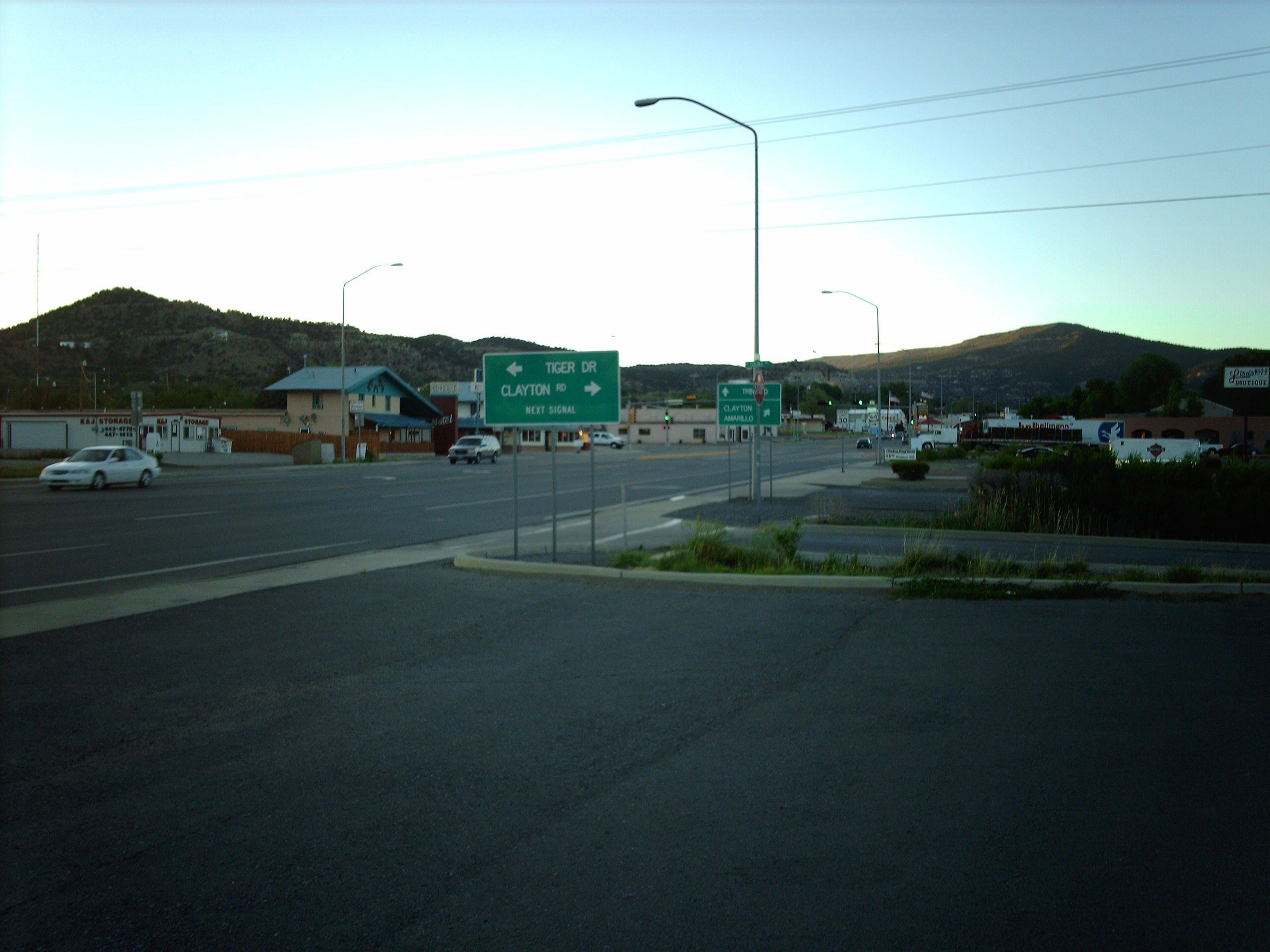
image_caption = Downtown Raton
image_
image_
mapsize = 250px
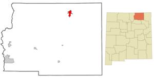
map_caption = Location of Raton, New Mexico
mapsize1 =
map_caption1 =subdivision_type = Country
subdivision_name =United States
subdivision_type1 = State
subdivision_name1 =New Mexico
subdivision_type2 = County
subdivision_name2 = Colfax
government_footnotes =
government_type =
leader_title =
leader_name =
leader_title1 =
leader_name1 =
established_title =
established_date =unit_pref = Imperial
area_footnotes =
area_magnitude =
area_total_km2 = 19.0
area_land_km2 = 19.0
area_water_km2 = 0.0
area_total_sq_mi = 7.3
area_land_sq_mi = 7.3
area_water_sq_mi = 0.0population_as_of = 2000
population_footnotes =
population_total = 7282
population_density_km2 = 383.2
population_density_sq_mi = 992.4timezone = Mountain (MST)
utc_offset = -7
timezone_DST = MDT
utc_offset_DST = -6
elevation_footnotes =
elevation_m = 2036
elevation_ft = 6680
latd = 36 |latm = 53 |lats = 49 |latNS = N
longd = 104 |longm = 26 |longs = 24 |longEW = Wpostal_code_type =
ZIP code
postal_code = 87740
area_code = 575
blank_name = FIPS code
blank_info = 35-62060
blank1_name = GNIS feature ID
blank1_info = 0902335
website = http://cityofraton.com/
footnotes =Raton is a city in Colfax County,
New Mexico ,United States . The population was 7,282 at the 2000 census. It is thecounty seat of Colfax CountyGR|6. The city is located just south ofRaton Pass .Name
Raton is a Spanish word for a "small
rat " or "mouse ". The Raton Range and Raton Peak are located immediately north of the town. The Raton Range is a 75-mile long ridge that extends east from the Sangre de Christo Range.Raton Pass and theRaton Basin are also named for the Raton Range. Raton was originally named Willow Springs but the name was changed to Raton in 1878.History
Raton Pass had been used by Spanish explorers and Indians for centuries to cut through the rugged
Rocky Mountains , but the trail was too rough for wagons on theSanta Fe Trail .Raton was founded at the site of Willow Springs, a stop on the Santa Fe Trail. The original convert|320|acre|km2|1 for the Raton townsite were purchased from the
Maxwell Land Grant in 1880. In 1879, theAtchison, Topeka and Santa Fe Railway bought a local toll road and established a busy rail line. Raton quickly developed as a railroad, mining and ranching center for the northeast part of the New Mexico territory, as well as the county seat and principal trading center of the area.Geography
Raton is located at coor dms|36|53|49|N|104|26|24|W|city (36.897082, -104.439912)GR|1.
According to the
United States Census Bureau , the city has a total area of 7.3square mile s (19.0km² ), all of it land.Elevation: 6 680 ft (2 036 m)
Demographics
As of the
census GR|2 of 2000, there were 7,282 people, 3,035 households, and 1,981 families residing in the city. Thepopulation density was 992.4 people per square mile (383.1/km²). There were 3,472 housing units at an average density of 473.2/sq mi (182.6/km²). The racial makeup of the city was 78.04% White, 0.23% African American, 1.59% Native American, 0.40% Asian, 0.01% Pacific Islander, 16.19% from other races, and 3.53% from two or more races. Hispanic or Latino of any race were 56.96% of the population.There were 3,035 households out of which 30.7% had children under the age of 18 living with them, 47.0% were married couples living together, 12.9% had a female householder with no husband present, and 34.7% were non-families. 30.6% of all households were made up of individuals and 14.1% had someone living alone who was 65 years of age or older. The average household size was 2.35 and the average family size was 2.92.
In the city the population was spread out with 25.1% under the age of 18, 7.8% from 18 to 24, 24.9% from 25 to 44, 23.9% from 45 to 64, and 18.4% who were 65 years of age or older. The median age was 40 years. For every 100 females there were 94.5 males. For every 100 females age 18 and over, there were 92.1 males.
The median income for a household in the city was $27,028, and the median income for a family was $31,762. Males had a median income of $24,946 versus $18,433 for females. The
per capita income for the city was $14,223. About 14.8% of families and 17.4% of the population were below thepoverty line , including 25.2% of those under age 18 and 10.4% of those age 65 or over.Transportation
Road
*
*
*Rail
*Raton Amtrak Station is a stop on the
Southwest Chief route.Air
*
Raton Municipal Airport Recreation
Sugarite Canyon State Park is located 12 miles (19 km) NE of Raton, NM. Elev. 8,800 ft (2,682 m). Camping, Fishing, Hiking.
NRA Whittington Center - Located 15 miles (24 km) SW of Raton, NM. Largest NRA shooting range in the US. National Competitions. High power rifle, skeet.
The United States Fish and Wildlife Service manages the Maxwell National Wildlife Refuge which is located approximately 25 miles south of Raton, NM . The Refuge offers excellent birding opportunities during the spring and fall migrations. It consists of several lakes, fields and woodlots managed for birds and the areas other wildlife.
The
Philmont Scout Ranch is the largest youth camp in the world by size and number of participants. It is owned and operated by theBoy Scouts of America used as a National High Adventure Base in which crews of Scouts and Venturers take part in backpacking expeditions and other outdoor activities. It is located 5 miles south ofCimarron, New Mexico .Notable natives and residents
*
Tom W. Blackburn - Western writer who also wrote the lyrics toThe Ballad of Davy Crockett
*The Fireballs - Rock Band who had a number one hit with 1963's "Sugar Shack" and "Bottle of Wine, Fruit of the vine"
*Steven F. Havill - Writer of Mysteries and Westerns.
*John Morrow -United States Representative from New Mexico
*John R. Sinnock - US Mint engraver known for work on the FDR dime
*Robert W. Warren -Attorney General of Wisconsin ee also
*
Raton Downtown Historic District References
Further reading
cite book
last = Conway
first = Jay T.
authorlink =
coauthors =
title = A brief community history of Raton, New Mexico
publisher = Gazette Print
date = 1930
location = Raton
pages = 17 p
url =
doi =
id =
isbn =External links
* [http://www.cityofraton.com Official City Website for Raton]
* [http://www.raton.info/balloonrally.htm Santa Fe Trail Balloon Rally]
* [http://www.sangres.com/places/nm/ratonairport.htm Raton Municipal Airport]
* [http://nenewmexico.com/counties.php?p=43 NE New Mexico Website]
* [http://www.raton.info/ Raton Chamber & Economic Development Council]
* [http://www.raton-nm.us/ Virtual Raton]
* [http://www.stateparks.com/sugarite_canyon.html Sugarite Canyon State Park]
* [http://www.nrawc.org/ NRA Whittington Center]
* [http://www.vermejoparkranch.com/ Vermejo Park Ranch]
Wikimedia Foundation. 2010.


