- Converse County, Wyoming
-
Converse County, Wyoming [[File:! map =|75px|Seal of Converse County, Wyoming]]
Seal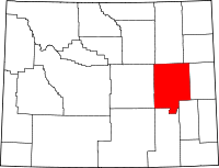
Location in the state of Wyoming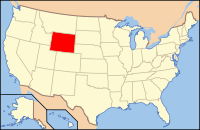
Wyoming's location in the U.S.Founded 1888 Seat Douglas Largest city Douglas Area
- Total
- Land
- Water
4,265 sq mi (11,046 km²)
4,255 sq mi (11,020 km²)
10 sq mi (26 km²), 0.24%Population
- (2010)
- Density
13,833
3/sq mi (1/km²)Website www.conversecounty.org Converse County is a county located in the U.S. state of Wyoming. As of 2010, the population was 13,833. Its county seat is Douglas[1].
Contents
History
Converse County was created on March 9, 1888 by the legislature of the Wyoming Territory. The county was formed from land ceded by Albany County and Laramie County[2]
Converse County was named for A.R. Converse, a banker and rancher from Cheyenne, Wyoming. Mr. Converse was a partner with Francis E. Warren in a large ranch in the eastern part of Converse County.[3]
In 1911, Converse County lost territory when Niobrara County was created. The boundaries of Converse County were slightly modified in a special election in 1955, and land from Albany County was added.
Geography
According to the U.S. Census Bureau, the county has a total area of 4,265 square miles (11,046.3 km2), of which 4,255 square miles (11,020.4 km2) is land and 10 square miles (25.9 km2) (0.24%) is water.
Adjacent counties
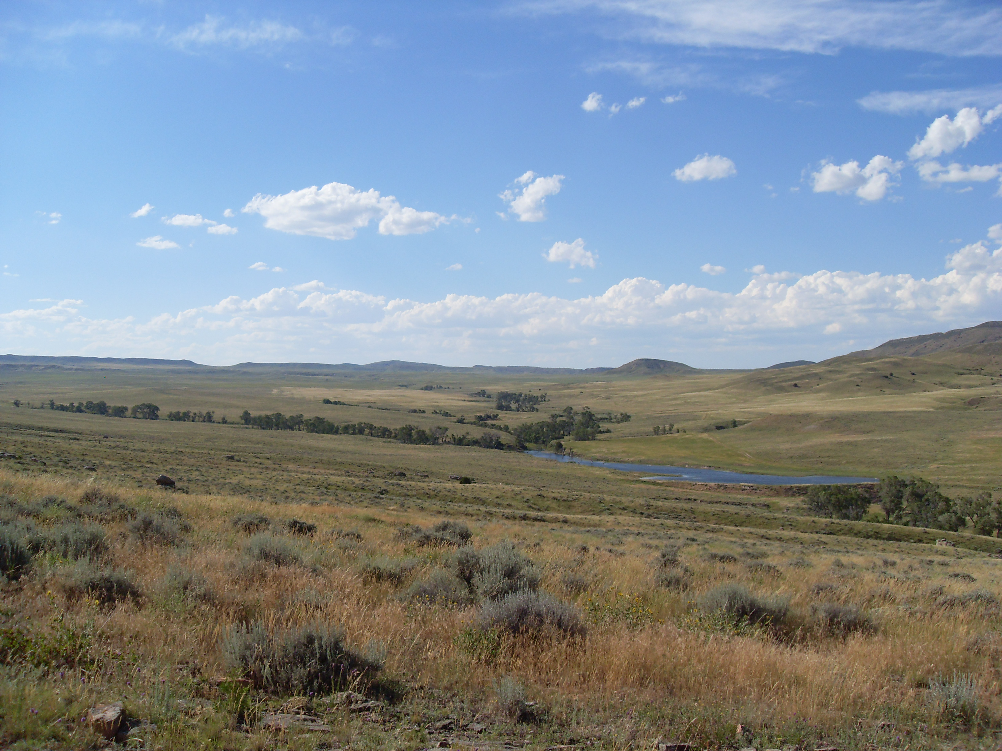
 Landscape in Converse County
- Campbell County, Wyoming - north
- Weston County, Wyoming - northeast
- Niobrara County, Wyoming - east
- Platte County, Wyoming - southeast
- Albany County, Wyoming - south
- Carbon County, Wyoming - southwest
- Natrona County, Wyoming - west
- Johnson County, Wyoming - northwest
National protected areas
- Medicine Bow National Forest (part)
- Thunder Basin National Grassland (part)
Major Highways
 Interstate 25
 U.S. Highway 18
 U.S. Highway 20
 U.S. Highway 26
 U.S. Highway 287
 Wyoming Highway 59
Demographics
Historical populations Census Pop. %± 1890 2,738 — 1900 3,337 21.9% 1910 6,294 88.6% 1920 7,871 25.1% 1930 7,145 −9.2% 1940 6,631 −7.2% 1950 5,933 −10.5% 1960 6,366 7.3% 1970 5,938 −6.7% 1980 14,069 136.9% 1990 11,128 −20.9% 2000 12,052 8.3% 2010 13,833 14.8% As of the census[4] of 2000, there were 12,052 people, 4,694 households, and 3,407 families residing in the county. The population density was 3 people per square mile (1/km²). There were 5,669 housing units at an average density of 1 per square mile (1/km²). The racial makeup of the county was 94.72% White, 0.15% Black or African American, 0.91% Native American, 0.27% Asian, 0.02% Pacific Islander, 2.46% from other races, and 1.47% from two or more races. 5.48% of the population were Hispanic or Latino of any race. 26.6% were of German, 13.5% American, 12.2% English and 11.1% Irish ancestry according to Census 2000.
There were 4,694 households out of which 36.50% had children under the age of 18 living with them, 60.60% were married couples living together, 8.40% had a female householder with no husband present, and 27.40% were non-families. Of 4,694 households, 253 were unmarried partner households: 228 heterosexual, 12 same-sex male, and 13 same-sex female.
23.40% of all households were made up of individuals and 9.00% had someone living alone who was 65 years of age or older. The average household size was 2.55 and the average family size was 3.01.
In the county the population was spread out with 28.50% under the age of 18, 7.00% from 18 to 24, 28.10% from 25 to 44, 25.40% from 45 to 64, and 11.00% who were 65 years of age or older. The median age was 38 years. For every 100 females there were 99.40 males. For every 100 females age 18 and over, there were 96.40 males.
The median income for a household in the county was $39,603, and the median income for a family was $45,905. Males had a median income of $36,443 versus $19,032 for females. The per capita income for the county was $18,744. About 9.20% of families and 11.60% of the population were below the poverty line, including 15.70% of those under age 18 and 9.70% of those age 65 or over.
Populated places
City
Towns
Census-designated place
Other places
See also
References
- ^ "Find a County". National Association of Counties. http://www.naco.org/Counties/Pages/FindACounty.aspx. Retrieved 2011-06-07.
- ^ Long, John H. (2006). "Wyoming: Individual County Chronologies". Wyoming Atlas of Historical County Boundaries. The Newberry Library. http://historical-county.newberry.org/website/Wyoming/documents/WY_Individual_County_Chronologies.htm#Individual_County_Chronologies. Retrieved 2008-01-31.
- ^ Urbanek, Mae (1988). Wyoming Place Names. Missoula, MT: Mountain Press Publishing Company. ISBN 0-87842-204-8.
- ^ "American FactFinder". United States Census Bureau. http://factfinder.census.gov. Retrieved 2008-01-31.
External links
- Converse County Website
- National Register of Historic Places listing for Converse Co., Wyoming
- Converse County School District #1 (in Douglas, WY)

Johnson County Campbell County Weston County Natrona County 
Niobrara County  Converse County, Wyoming

Carbon County Albany County Platte County Municipalities and communities of Converse County, Wyoming County seat: Douglas City 
Towns CDP Unincorporated
communities State of Wyoming
Cheyenne (capital) Topics Governors · Delegations · Geography · Government · History · People · Visitor Attractions · State Symbols · Radio Stations
Society Crime · Demographics · Economy · Education · Politics
Regions Cities Counties Categories:- Wyoming counties
- Converse County, Wyoming
- 1888 establishments


Wikimedia Foundation. 2010.