- Sangre de Cristo Mountains
-
This article is about the greater Sangre de Cristo mountain range. For the northernmost extent of the same name, see Sangre de Cristo Range.
Sangre de Cristo Mountains Range 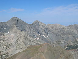 Blanca Peak
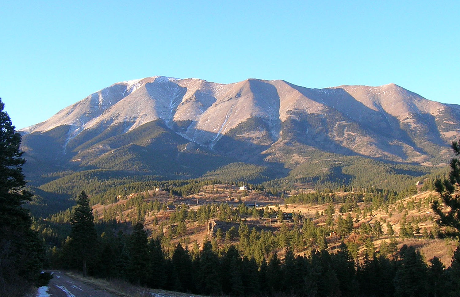
Name origin: Sangre de Cristo (Spanish: Blood of Christ) Country United States States Colorado, New Mexico Part of Rocky Mountains Highest point Blanca Peak - location East of Alamosa, Colorado - elevation 14,351 ft (4,374 m) - coordinates 37°34′39″N 105°29′08″W / 37.5775°N 105.48556°W Length 242 mi (389 km), north-south Width 120 mi (193 km), east-west Area 17,193 sq mi (44,530 km2) The Sangre de Cristo Mountains (Spanish for "Blood of Christ") are the southernmost subrange of the Rocky Mountains. They are located in southern Colorado and northern New Mexico in the United States. The mountains run from Poncha Pass in South-Central Colorado, trending southeast and south, ending at Glorieta Pass, southeast of Santa Fe, New Mexico. The mountains contain a number of fourteen thousand foot peaks in the Colorado portion, as well as all the peaks in New Mexico which are over thirteen thousand feet.
The name, Spanish for "blood of Christ", is said to come from the red color of the range at some sunrises and sunsets, especially when the mountains are covered with snow, alpenglow. However the particular origin of the name is unclear, and the name in fact only dates back to the early 19th century. Before that time the terms "La Sierra Nevada", "La Sierra Madre", "La Sierra", and "The Snowies" (used by English speakers) were used.[1] Sometimes the archaic Spanish spelling "Christo" is used.
Contents
Land management and recreation overview
Much of the mountains are within various National Forests: the Rio Grande and San Isabel in Colorado, and the Carson and Santa Fe in New Mexico. These publicly accessible areas are popular for hunting, camping, hiking, backpacking, climbing, and cross-country and downhill skiing.
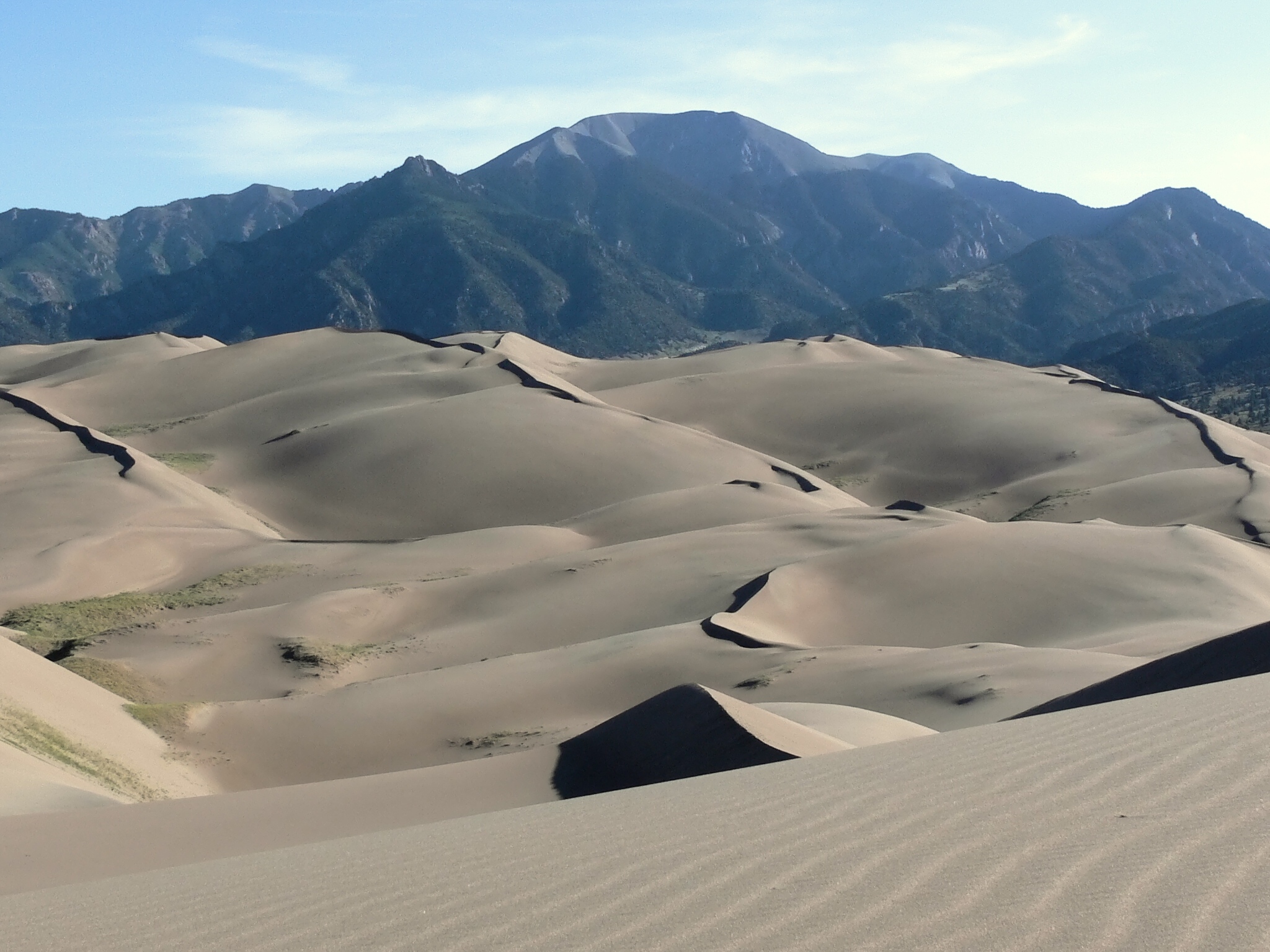
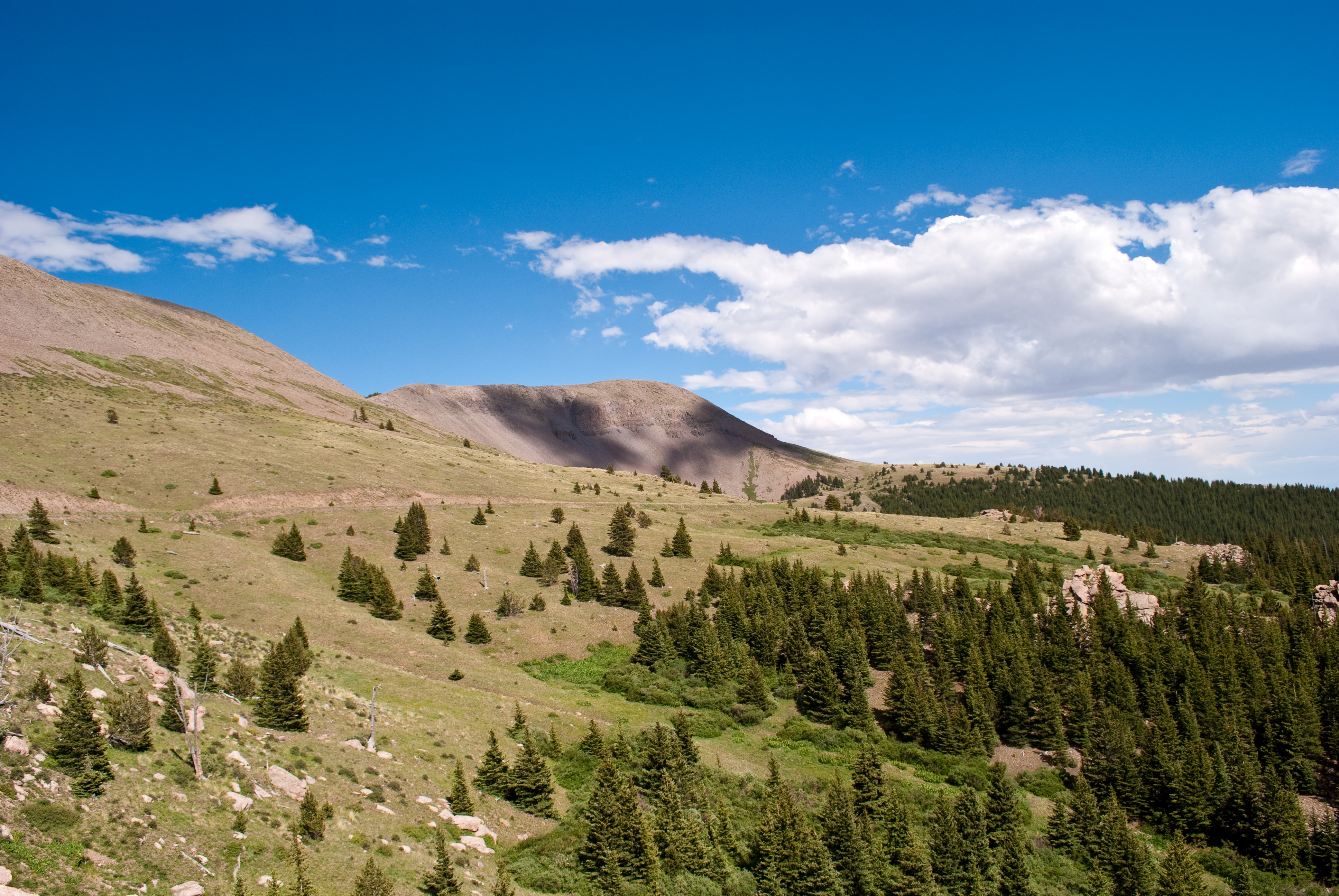
The mountains include two large wilderness areas, the Sangre de Cristo Wilderness in Colorado and the Pecos Wilderness in New Mexico, as well as some smaller wilderness areas, such as Latir Peak Wilderness. The Great Sand Dunes National Park and Preserve lies on the southwest side of the mountains in Colorado.
Prominent peaks and subranges
The Sangre de Cristo Mountains are divided into various subranges, described here from north to south. Use of the terms "Sangre de Cristo Range" and "Sangre de Cristo Mountains" is inconsistent and either may refer to either the northernmost subrange, the southernmost subrange, or the mountains as a whole.
Peaks Rank Mountain Peak Subrange Elevation Prominence Isolation Image Comment 1 Blanca Peak[2] Sierra Blanca 4374 m
14,351 ft1623 m
5,326 ft166 km
103 mi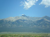
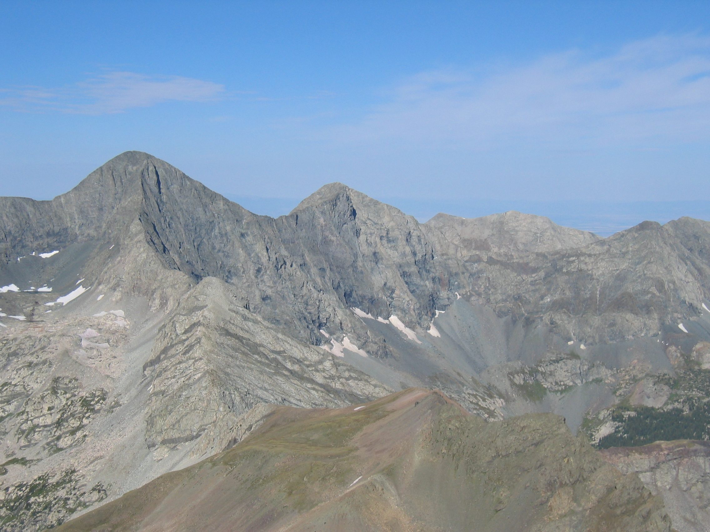
Blanca Peak in Colorado is the highest peak of the Sangre de Cristo mountains. 2 Crestone Peak[2] Crestones 4359 m
14,300 ft1388 m
4,554 ft44 km
27 mi
The Crestones are a group of four 14,000 foot (4,268 m) peaks (fourteeners) in the Sangre de Cristo Range above Crestone, Colorado. Crestone Peak is rock scrambles (Class 3) with some exposure and significant rockfall danger. (Image: Crestone Peak and Crestone Needle seen from the south) 3 Culebra Peak[2] Culebra Range 4283 m
14,053 ft1471 m
4,827 ft57 km
35 mi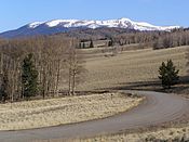
The Culebra Range runs almost due north and south, with its northern limit at La Veta Pass in Colorado, and its southern limit at Costilla Creek, just south of Big Costilla Peak in New Mexico. Its highest point is Culebra Peak (14,047 feet/4,282 m), which is notable for being the only fourteener in Colorado which is on private land.[3] (Image: Big Costilla Peak in the Culebra Range, viewed from Valle Vidal.) 4 West Spanish Peak[2] Spanish Peaks 4155 m
13,631 ft1123 m
3,685 ft33 km
20 mi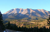
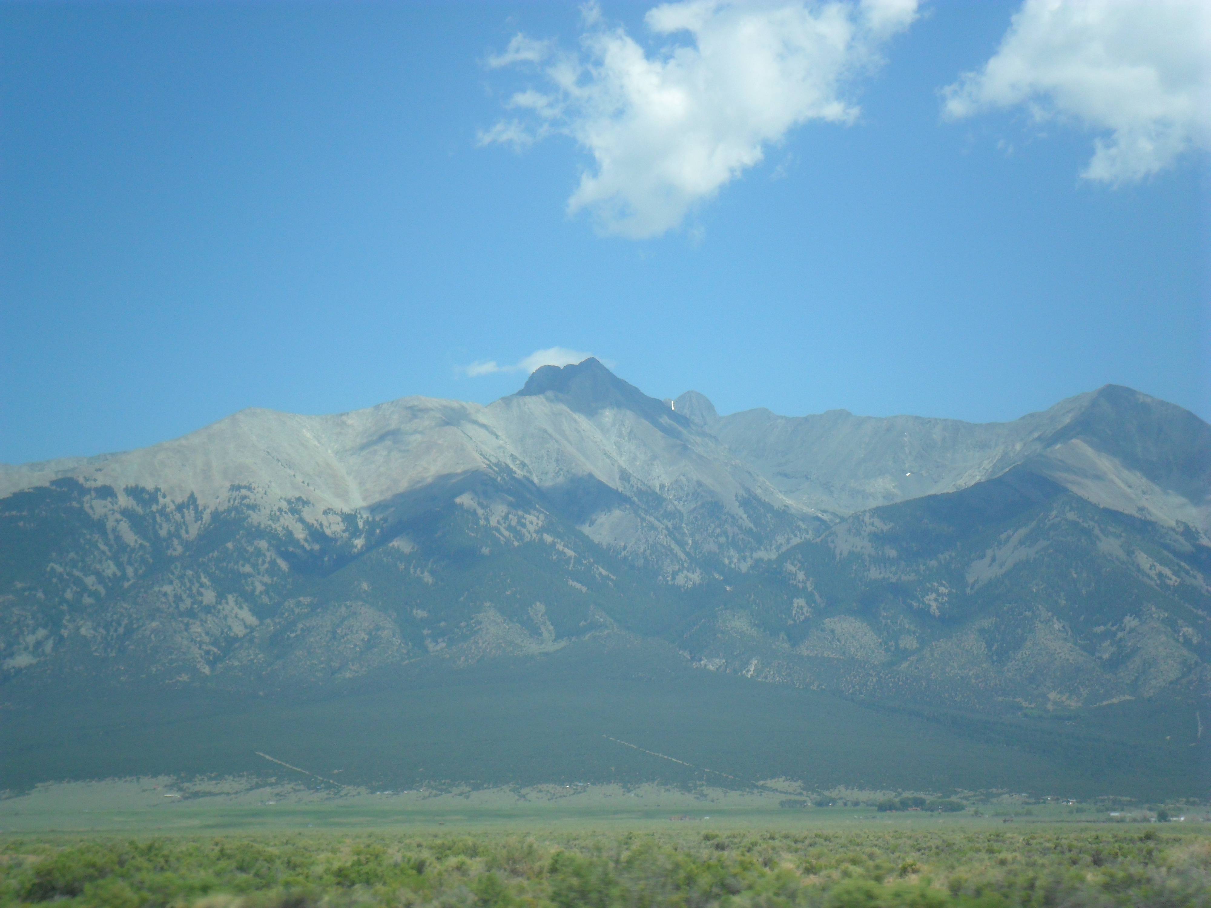
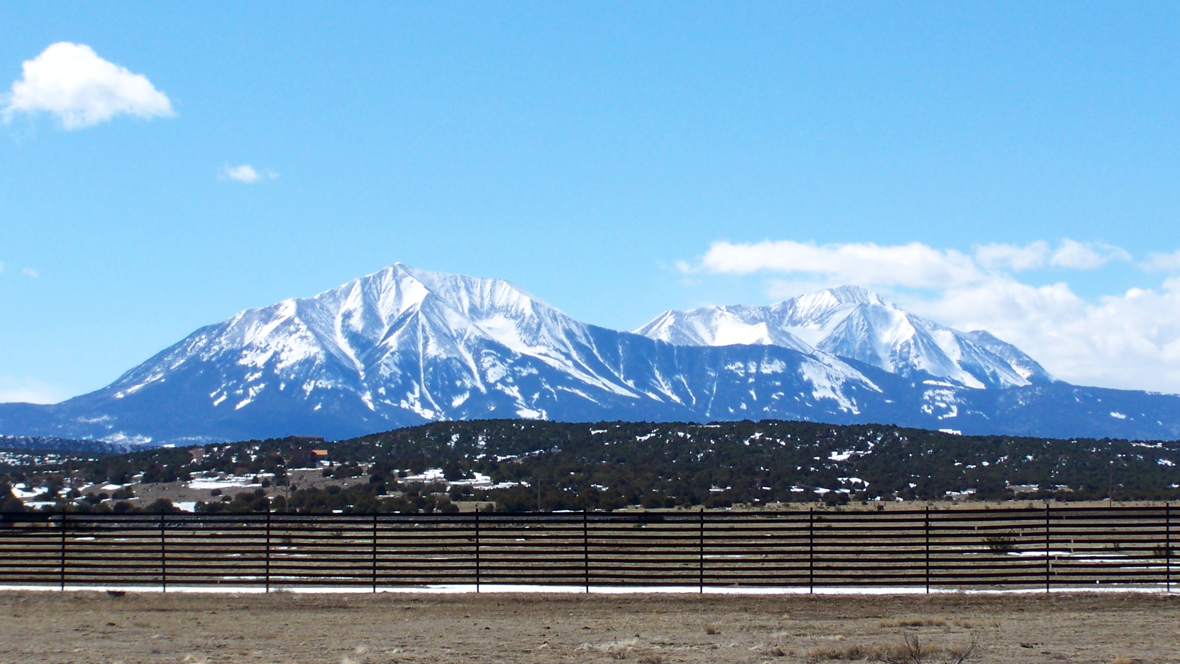
The Spanish Peaks are a pair of volcanic mountains, West Spanish Peak and East Spanish Peak, located in southwestern Huerfano County, Colorado.[4], the Spanish Peaks were designated a National Natural Landmark in 1976 as one of the best known examples of igneous dikes[5]. The mountains can be seen as far north as Colorado Springs (133 miles), as far west as Alamosa (85 miles), points south to Raton, New Mexico (65 miles), and points east of Trinidad (up to 15 miles). (Image: West Spanish Peak taken from the south) 5 Mount Herard[2] PB Sangre de Cristo Range 4062 m
13,325 ft622 m
2,040 ft7.5 km
4.6 mi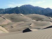
The Sangre de Cristo Range, the largest and most northerly subrange of the Sangre de Cristo Mountains, runs directly along the east side of the Rio Grande Rift, extending southeast from Poncha Pass for about 75 miles (120 km) through south-central Colorado to La Veta Pass, approximately 20 miles (32 km) west of Walsenburg. They form a high ridge separating the San Luis Valley on the west from the watershed of the Arkansas River on the east. (Image: Sangre de Cristo range from the Great Sand Dunes National Park) 6 Wheeler Peak[6] NGS Taos Mountains 4013 m
13,167 ft1039 m
3,409 ft60 km
37 mi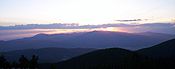
The Taos Mountains span the western lobe of the range from Costilla Creek in the north, to Tres Ritos in the south.[7][8] Wheeler Peak, of the Wheeler Peak Wilderness, is the highest peak in New Mexico. Taos Ski Valley lies just to the west of Wheeler Peak. Much of the central portion of the Taos Mountains are on Taos Pueblo land. As viewed from Taos, they are locally called "Taos Mountain." 7 Bushnell Peak[2] PB Sangre de Cristo Range 3996 m
13,111 ft733 m
2,405 ft18 km
11 miSee #5. Mount Herard 8 Truchas Peak NGS Santa Fe Mountains PB 3995 m
13,107 ft1220 m
4,001 ft68 km
42 mi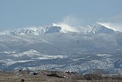
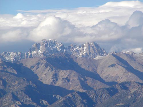
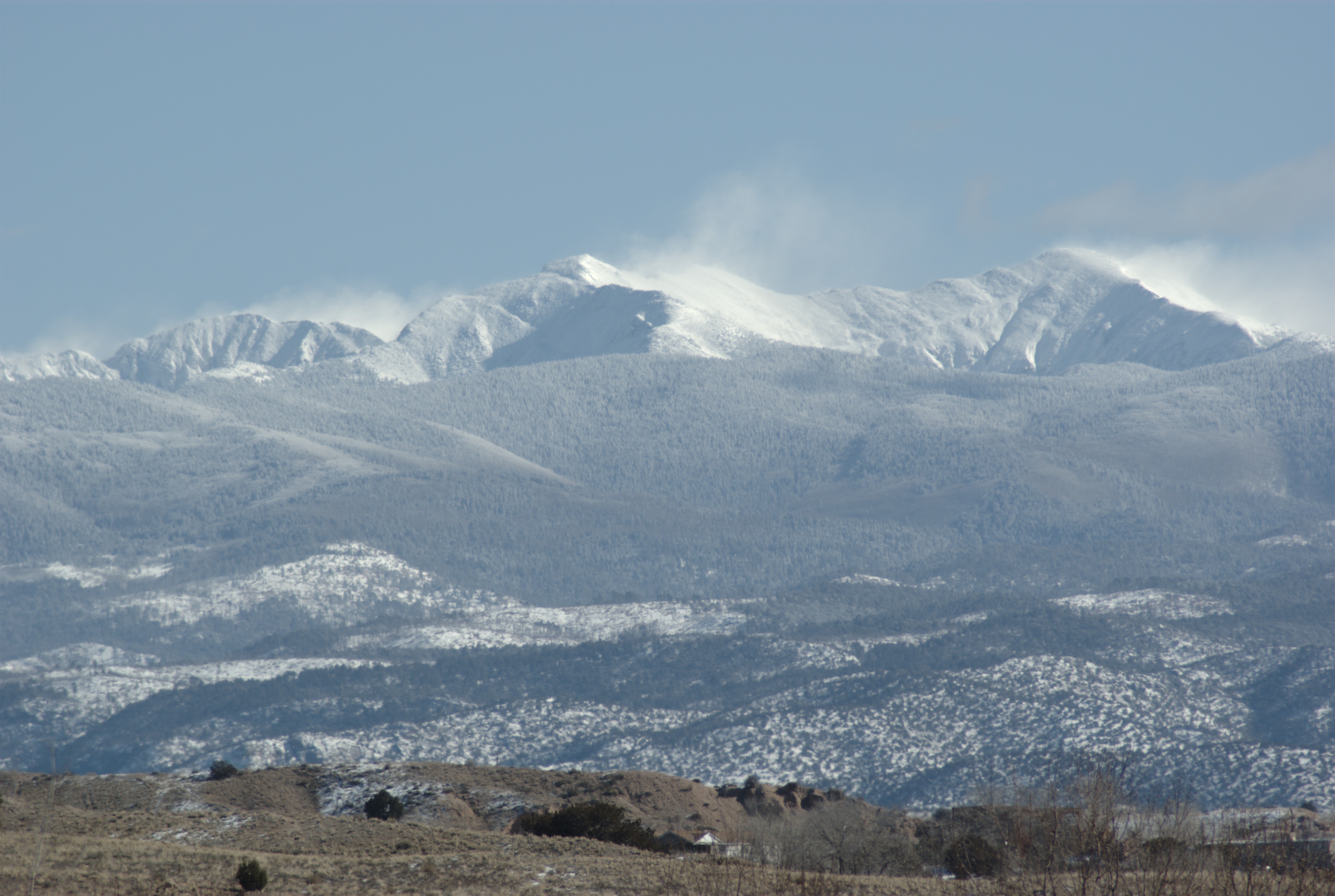
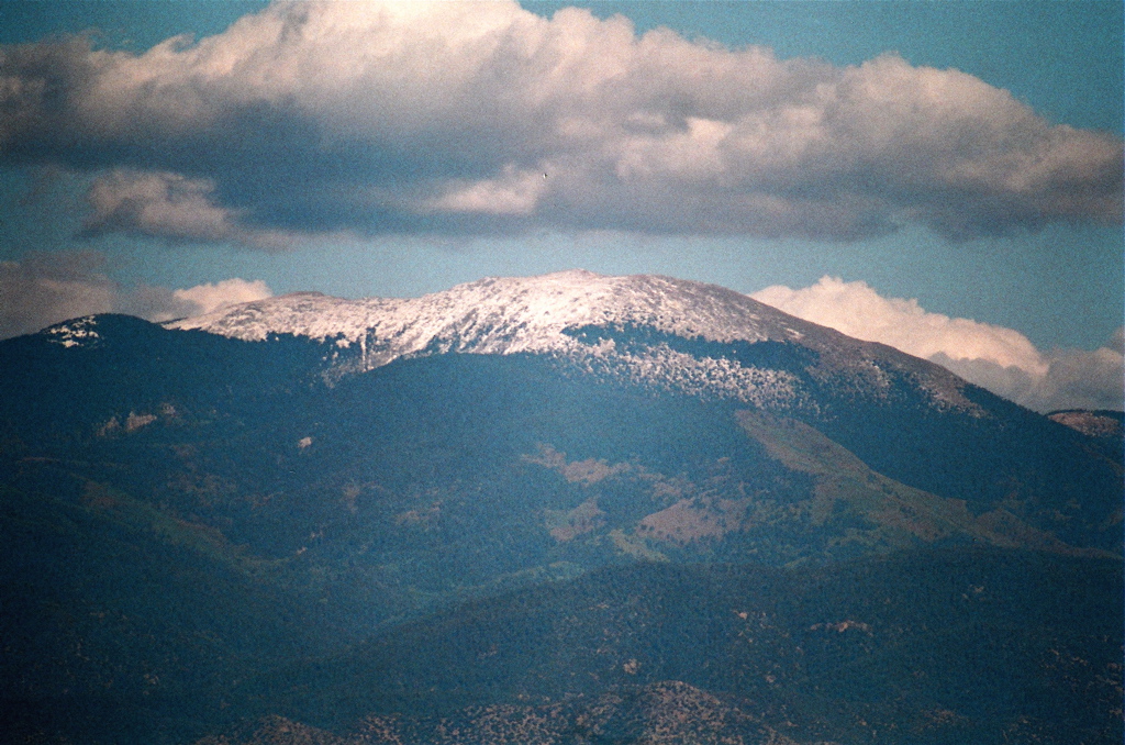
The Santa Fe Mountains include all peaks south of NM Route 518.[7] This group lies near Santa Fe and surrounds the Pecos Wilderness, which protects the source watershed of the Pecos River. Truchas Peak is the highest point in the Santa Fe Mountains. The Pecos Wilderness is crossed by many trails and is popular for backpacking and for fishing in its high alpine lakes. (Image: Truchas Peak in winter from Española, New Mexico) 9 Venado Peak[2] Taos Mountains 3883 m
12,739 ft900 m
2,954 ft19 km
12 mi
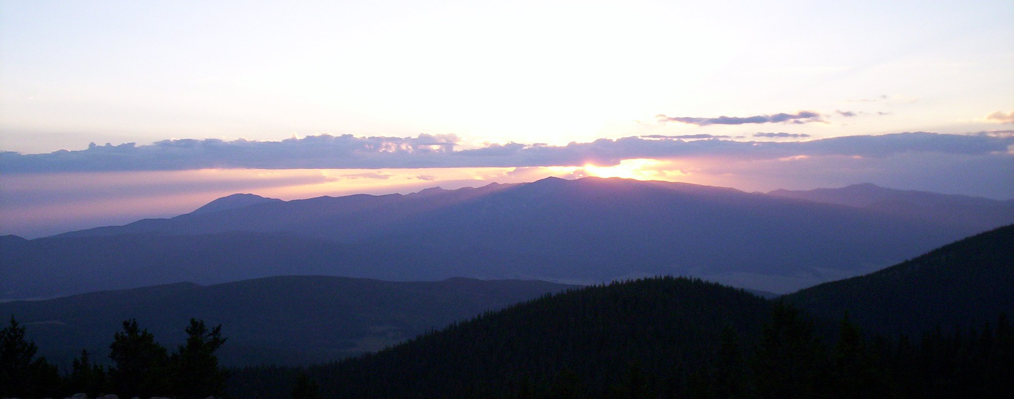
See #6 Wheeler Peak. Aside from Wheeler and Venado peak, other notable peaks include Pueblo Peak (12,305 feet/3,751 m), which rises dramatically above Taos Pueblo, and Latir Peak (12,708 feet/3,873 m). The southern portion of the Taos Mountains, between Palo Flechado Pass and Tres Ritos (US Route 64 and NM Route 518), is lower and less dramatic than the northern section, with its high point being Cerro Vista, 11,939 ft (3,639 m). The Fernando Mountains are a small subrange lying in this section, just south of US Route 64. (Image: Taos Mountain at sunset.) 10 East Spanish Peak[2] Spanish Peaks 3867 m
12,688 ft726 m
2,383 ft6.8 km
4.2 mi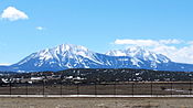
East Spanish Peak is the lower of the two Spanish Peaks, two large igneous stocks which form an eastern outlier of the Culebra Range, a subrange of the Sangre de Cristo Mountains. (Image: Spanish Peaks as seen from I25, Huerfano county, Colorado) 11 Santa Fe Baldy NGS Santa Fe Mountains PB 3850 m
12,632 ft610 m
2,002 ft18 km
11 mi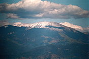
Santa Fe Baldy is a prominent summit in the Sangre de Cristo Mountains of New Mexico, located 15 mi (24 km) northeast of Santa Fe. It is prominent as seen from Los Alamos and communities along the Rio Grande in northern New Mexico, but is relatively inconspicuous from Santa Fe, as its north-south trending main ridge line is seen nearly end-on, disguising the size of the mountain. Santa Fe Baldy lies in the Pecos Wilderness within the Santa Fe National Forest, on the water divide between the Rio Grande and the Pecos River. 12 Baldy Mountain NGS Cimarron Range 3793 m
12,445 ft823 m
2,701 ft18 km
11 mi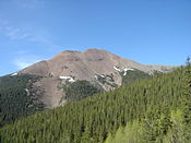
The Cimarron Range lies across the Moreno Valley to the east of the Taos Mountains. It is a lower range, with its highest point being Baldy Mountain (12,441 feet/3,792 m). The Philmont Scout Ranch lies on the east side of the Cimarron Range. {Image: Baldy Peak summit ridge in the Cimarron Range.) 13 Greenhorn Mountain NGS Wet Mountains 3765 m
12,352 ft1151 m
3,777 ft43 km
26 mi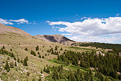
Greenhorn Mountain is the highest point in the Wet Mountains of southern Colorado, just high enough to pass tree line which is about 11,500 feet (3,500 m) in this part of Colorado. The massive mountain can be seen from Pueblo and all along Interstate 25. The mountain is protected within the secluded Greenhorn Mountain Wilderness Area but is accessed by a few trails and a nearby 4-wheel drive road to the north. 14 Mount Zwischen[2] PB Sangre de Cristo Range 3661 m
12,011 ft691 m
2,266 ft7.3 km
4.5 miSee #5. Mount Herard 15 Cerro Vista[2] PB Cerro Vista PB 3640 m
11,944 ft768 m
2,519 ft23 km
14 mi16 Mount Phillips[2] PB Cimarron Range 3580 m
11,745 ft890 m
2,921 ft12 km
8 mi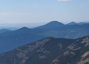
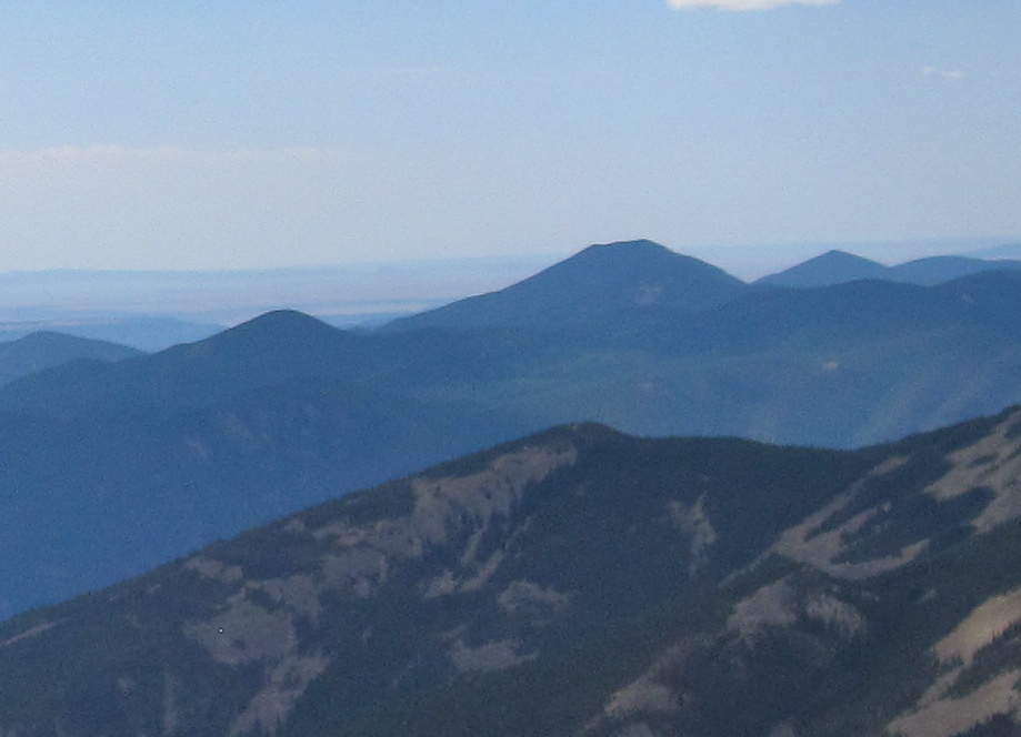
Mount Phillips, formerly called Clear Creek Mountain, is located in Colfax County about 11 mi (17 km) south of Baldy Mountain in the Cimarron Range, a subrange of the Sangre de Cristo Mountains of New Mexico. The peak was renamed in 1960 in honor of Waite Phillips, who donated the area to the Boy Scouts of America. (Image: Mount Phillips (tallest mountain, at center) seen from Baldy Mountain) 17 Mount Mestas[2] PB Sierra Blanca 3528 m
11,574 ft679 m
2,229 ft26 km
16 mi18 Iron Mountain[2] PB Sierra Blanca 3480 m
11,416 ft595 m
1,951 ft11 km
7 mi19 Rincon This is a minor subrange, significantly lower than the rest of the Sangre de Cristos; it lies east of the southernmost portion of the Taos Mountains. 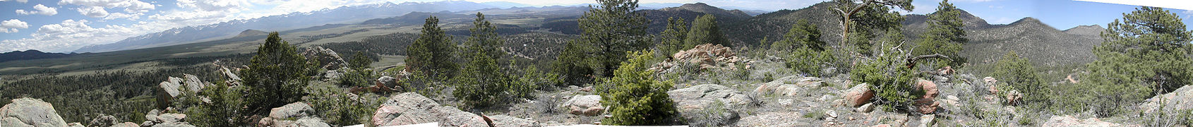

Panoramic summer view of the northern Sangre de Cristo Mountains from Westcliffe, Colorado See also
References
- ^ Robert Julyan, The Place Names of New Mexico, University of New Mexico Press, 1998.
- ^ a b c d e f g h i j k l m The elevation of this summit has been converted from the National Geodetic Vertical Datum of 1929 (NGVD 29) to the North American Vertical Datum of 1988 (NAVD 88). National Geodetic Survey
- ^ http://www.14ers.org/peaks/sdc_culebra.php
- ^ Chronic, Halka (1998). Roadside Geology of Colorado. Mountain Press Publishing Company. p. 36. ISBN 0-87842-105-X.
- ^ "National Registry of Natural Landmarks". National Park Service. June 2009. http://www.nature.nps.gov/nnl/pdf/RevisedRegistryJune2009.pdf.
- ^ The summit of Wheeler Peak is the highest point of the State of New Mexico.
- ^ a b Butterfield, Mike, and Greene, Peter, Mike Butterfield's Guide to the Mountains of New Mexico, New Mexico Magazine Press, 2006, ISBN 978-0-937206-88-1
- ^ Some sources only include the region north of Palo Flechado Pass in the Taos Mountains; however they do not give a specific subrange name to the entire southern portion. See for example the 1:250,000 scale USGS maps.
External links
- Sangre de Cristo Mountains @ Peakbagger
- List of the 13-ers in Sangre de Cristo
- “Glorieta and Raton Passes: Gateways to the Southwest”, a National Park Service Teaching with Historic Places (TwHP) lesson plan
 State of New Mexico
Santa Fe (capital) Topics Delegations · Geography · Government · History · Landmarks · Military · Natural history · New Mexicans · Settlements · Transportation · Tribes · Visitor attractions
Society Culture · Demographics · Economy · Education · Politics
Regions Central New Mexico · Colorado Plateau · Eastern New Mexico · Llano Estacado · Northern New Mexico · Permian Basin · Sangre de Cristo Mountains · San Luis Valley · Southwestern New Mexico
Cities Alamogordo · Albuquerque · Artesia · Carlsbad · Clovis · Corrales · Deming · Española · Farmington · Gallup · Grants · Hobbs · Las Cruces · Las Vegas · Los Alamos · Los Lunas · Lovington · Portales · Raton · Rio Rancho · Roswell · Ruidoso · Santa Fe · Silver City · Socorro · Sunland Park · Taos · Tucumcari
Counties Bernalillo · Catron · Chaves · Cibola · Colfax · Curry · De Baca · Doña Ana · Eddy · Grant · Guadalupe · Harding · Hidalgo · Lea · Lincoln · Los Alamos · Luna · McKinley · Mora · Otero · Quay · Rio Arriba · Roosevelt · Sandoval · San Juan · San Miguel · Santa Fe · Sierra · Socorro · Taos · Torrance · Union · Valencia
Categories:- Mountain ranges of Colorado
- Mountain ranges of New Mexico
- Regions of New Mexico
- Ranges of the Rocky Mountains


Wikimedia Foundation. 2010.