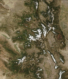
- Mountain ranges of Colorado
-
 See also: Mountain ranges of the Southern Rocky Mountains, Mountain peaks of Colorado, and Mountain passes of Colorado
The following table lists the major mountain ranges of the U.S. State of Colorado.
Contents
Mountain Ranges
Mountain Ranges of the U.S. State of Colorado Mountain Range Highest Summit primary secondary tertiary summit name elevation prominence isolation Sawatch Range[1] PB Central Sawatch Range Elbert Massif PB Mount Elbert[2] NGS 14,440 feet
4401 m9,093 feet
2772 m670.6 miles
1079.2 kmMassive Massif PB Mount Massive[3] 14,428 feet
4398 m1,941 feet
592 m5.1 miles
8.2 kmCollegiate Peaks PB Mount Harvard NGS 14,421 feet
4396 m2,327 feet
709 m14.9 miles
24.0 kmWilliams Mountains PB Williams Mountains High Point PB 13,389 feet
4081 m1,682 feet
513 m3.7 miles
6.0 kmSouthern Sawatch Range PB Mount Antero NGS 14,276 feet
4351 m2,503 feet
763 m17.7 miles
28.6 kmFar Southern Sawatch Range PB Mount Ouray NGS 13,961 feet
4255 m2,659 feet
810 m13.6 miles
21.9 kmNorthern Sawatch Range PB Mount of the Holy Cross NGS 14,009 feet
4270 m2,111 feet
643 m18.5 miles
29.8 kmSangre de Cristo Mountains PB Sierra Blanca PB Blanca Peak[3] 14,351 feet
4374 m5,326 feet
1623 m103.4 miles
166.4 kmNorthern Sangre de Cristo Range PB Crestones PB Crestone Peak[3] 14,300 feet
4359 m4,554 feet
1388 m27.4 miles
44.1 kmRito Alto Peak[3] PB 13,800 feet
4206 m1,134 feet
346 m7.3 miles
11.7 kmCulebra Range PB Culebra Peak[3] 14,053 feet
4283 m4,827 feet
1471 m35.5 miles
57.1 kmSpanish Peaks PB West Spanish Peak[3] 13,631 feet
4155 m3,685 feet
1123 m20.4 miles
32.9 kmWet Mountains PB Greenhorn Mountain NGS 12,352 feet
3765 m3,777 feet
1151 m26.4 miles
42.5 kmSan Juan Mountains PB North Central San Juan Mountains PB Uncompahgre Peak NGS 14,321 feet
4365 m4,277 feet
1304 m85.1 miles
136.9 kmSan Miguel Mountains PB Mount Wilson[3] 14,252 feet
4344 m4,024 feet
1227 m33.1 miles
53.2 kmSneffels Range PB Mount Sneffels NGS 14,158 feet
4315 m3,050 feet
930 m15.7 miles
25.3 kmNeedle Mountains PB Mount Eolus[3] 14,089 feet
4294 m2,183 feet
665 m25.2 miles
40.5 kmGrenadier Range PB Vestal Peak[3] PB 13,870 feet
4228 m1,104 feet
336 m4.3 miles
6.9 kmWest Needle Mountains PB Twilight Peak[3] PB 13,163 feet
4012 m2,338 feet
713 m4.9 miles
7.9 kmLa Garita Mountains PB San Luis Peak NGS 14,022 feet
4274 m3,113 feet
949 m27.0 miles
43.4 kmCochetopa Hills Long Branch Baldy NGS 11,982 feet
3652 m1,474 feet
449 m13.7 miles
22.0 kmEast Central San Juan Mountains PB Half Peak[3] PB 13,848 feet
4221 m1,481 feet
451 m3.9 miles
6.3 kmSouthern San Juan Mountains PB Summit Peak NGS PB 13,308 feet
4056 m2,760 feet
841 m39.9 miles
64.2 kmLa Plata Mountains PB Hesperus Mountain[3] PB 13,232 feet
4033 m2,832 feet
863 m24.8 miles
39.9 kmMosquito Range PB Mount Lincoln NGS 14,293 feet
4357 m3,862 feet
1177 m22.6 miles
36.3 kmTenmile Range PB Quandary Peak NGS 14,271 feet
4350 m1,105 feet
337 m3.2 miles
5.1 kmFront Range PB Central Front Range PB Grays Peak[4] NGS 14,278 feet
4352 m2,770 feet
844 m25.0 miles
40.3 kmNorthern Front Range PB Longs Peak Massif PB Longs Peak NGS 14,259 feet
4346 m2,940 feet
896 m43.6 miles
70.2 kmMummy Range PB Hagues Peak NGS PB 13,573 feet
4137 m2,420 feet
738 m15.9 miles
25.6 kmIndian Peaks PB North Arapaho Peak[3] PB 13,508 feet
4117 m1,665 feet
507 m15.4 miles
24.8 kmNever Summer Mountains PB Mount Richthofen[3] PB 12,945 feet
3946 m2,680 feet
817 m9.7 miles
15.5 kmSouthern Front Range Pikes Peak Massif Pikes Peak NGS 14,115 feet
4302 m5,530 feet
1686 m60.8 miles
97.8 kmSouth Williams Fork Mountains PB Ptarmigan Peak[3] PB 12,504 feet
3811 m721 feet
220 m4.3 miles
6.9 kmTarryall Mountains PB Bison Peak NGS PB 12,432 feet
3789 m2,451 feet
747 m19.1 miles
30.8 kmPlatte River Mountains North Twin Cone Peak PB 12,323 feet
3756 m383 feet
117 m5.9 miles
9.6 kmKenosha Mountains PB Windy Peak NGS PB 11,970 feet
3649 m1,510 feet
460 m5.4 miles
8.7 kmSouth Park Hills PB Waugh Mountain[3] PB 11,716 feet
3571 m2,330 feet
710 m20.0 miles
32.2 kmRampart Range PB Devils Head NGS PB 9,749 feet
2972 m1,248 feet
380 m8.0 miles
12.9 kmElk Mountains PB Castle Peak NGS 14,279 feet
4352 m2,365 feet
721 m20.9 miles
33.7 kmRuby Range Mount Owen NGS PB 13,070 feet
3984 m1,358 feet
414 m8.0 miles
12.8 kmWest Elk Mountains PB West Elk Peak NGS PB 13,042 feet
3975 m3,095 feet
943 m13.8 miles
22.2 kmGore Range PB Mount Powell[3] PB 13,566 feet
4135 m3,000 feet
914 m21.5 miles
34.6 kmMedicine Bow Mountains PB Clark Peak NGS PB 12,956 feet
3949 m2,771 feet
845 m16.7 miles
26.8 kmFlat Tops PB Flat Top Mountain NGS PB 12,361 feet
3768 m4,054 feet
1236 m42.8 miles
68.9 kmRabbit Ears Range PB Parkview Mountain NGS PB 12,301 feet
3749 m2,676 feet
816 m10.9 miles
17.6 kmPark Range PB Central Park Range PB Mount Zirkel[3] PB 12,185 feet
3714 m3,470 feet
1058 m41.5 miles
66.8 kmElkhead Mountains PB Sand Mountain North[3] PB 10,884 feet
3317 m2,179 feet
664 m18.2 miles
29.3 kmWhite River Plateau PB Blair Mountain[3] PB 11,445 feet
3488 m1,736 feet
529 m17.5 miles
28.2 kmGrand Mesa PB Crater Peak NGS PB 11,333 feet
3454 m2,307 feet
703 m18.0 miles
29.0 kmLaramie Mountains PB South Bald Mountain NGS PB 11,007 feet
3355 m1,843 feet
562 m13.7 miles
22.0 kmUncompaghre Plateau PB Horsefly Peak NGS PB 10,353 feet
3156 m1,437 feet
438 m14.6 miles
23.5 kmUte Mountain PB Ute Peak NGS 9,984 feet
3043 m4,039 feet
1231 m39.1 miles
62.9 kmNorthwestern Colorado PB Diamond Peak[3] PB 9,645 feet
2940 m2,845 feet
867 m30.3 miles
48.8 kmRaton Mesa PB Fishers Peak[3] PB 9,633 feet
2936 m1,847 feet
563 m32.4 miles
52.2 kmUinta Range[5] PB Eastern Uinta Range[6] PB Southeastern Uinta Range PB Zenobia Peak NGS PB 9,022 feet
2750 m2,395 feet
730 m23.7 miles
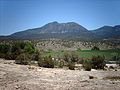
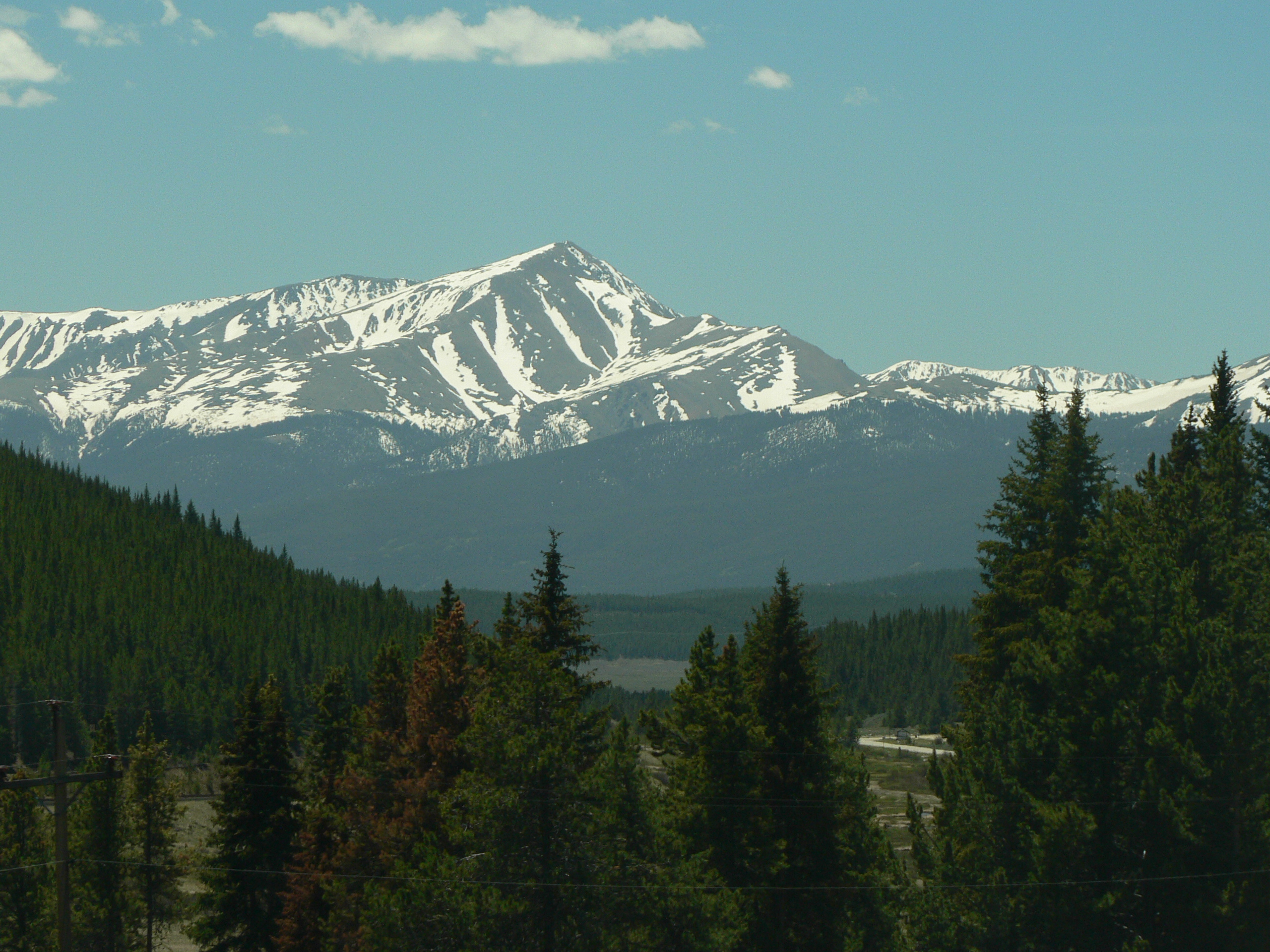
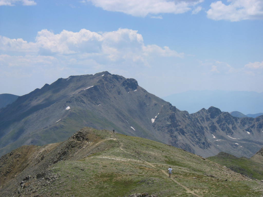
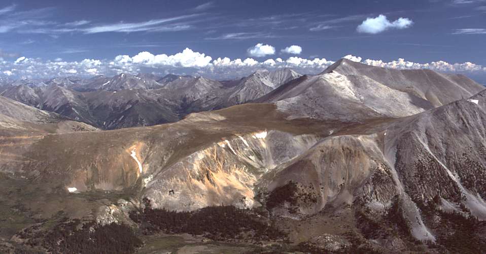
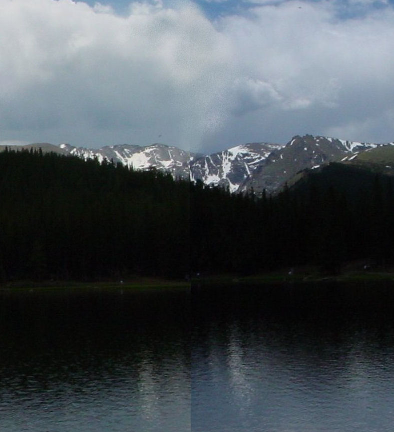
38.1 kmSee also: Mountain ranges of the Southern Rocky MountainsGallery
-
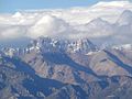
Mount Elbert is the highest peak of the Sawatch Range and the entire Rocky Mountains.
-
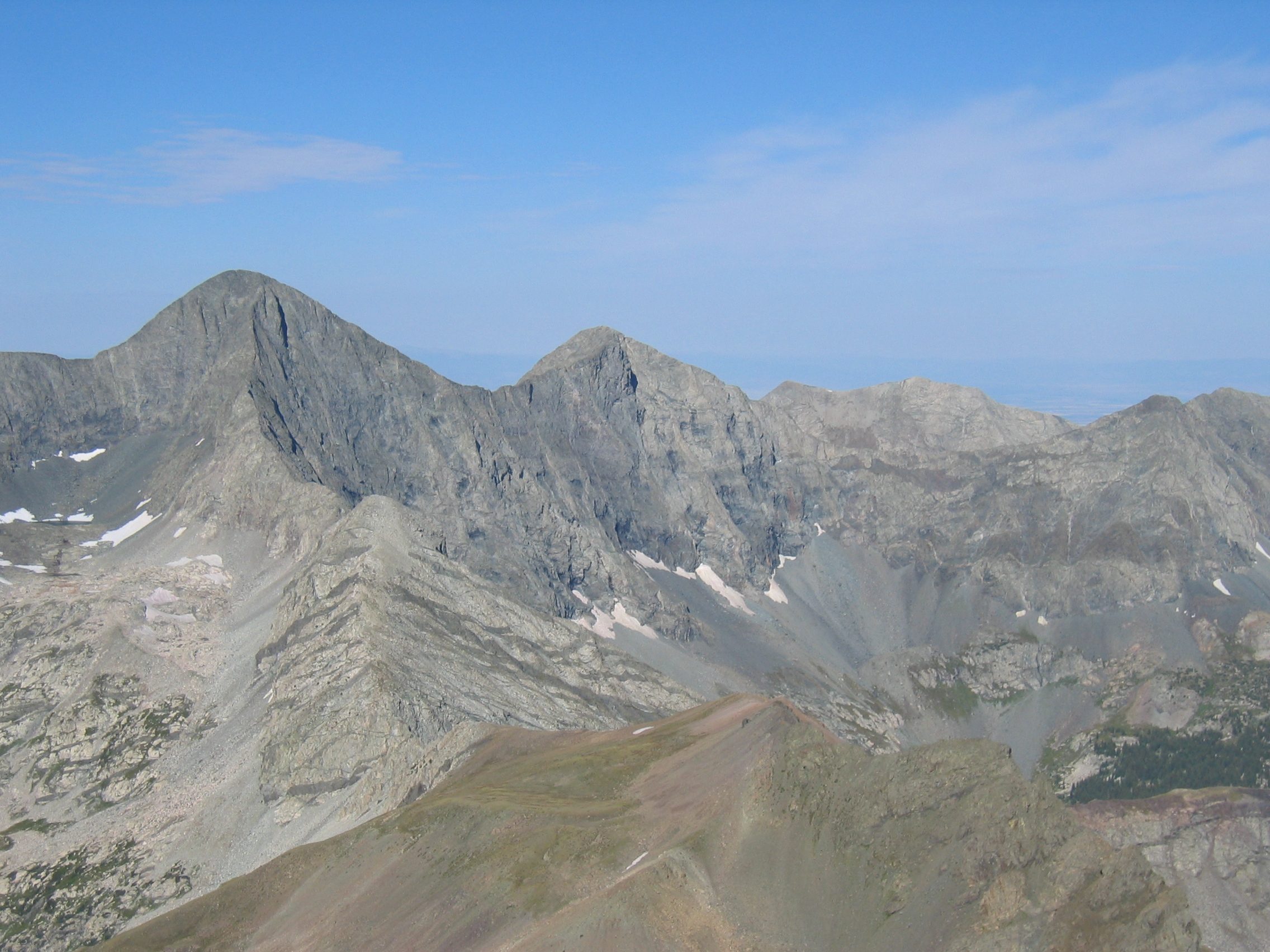
Mount Harvard is the highest of the Collegiate Peaks and the third highest peak of the Rocky Mountains.
-
Blanca Peak is the highest peak of the Sangre de Cristo Mountains and the fifth highest peak of the Rocky Mountains.
-

Uncompahgre Peak is the highest peak of the San Juan Mountains and the sixth highest peak of the Rocky Mountains.
-
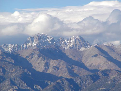
Crestone Peak is the highest peak of the Crestones and the seventh highest peak of the Rocky Mountains.
-
Mount Lincoln is the highest peak of the Mosquito Range and the eighth highest peak of the Rocky Mountains.
-
Grays Peak is the highest peak of the Front Range and the tenth highest peak of the Rocky Mountains.
-
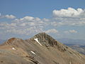
Mount Antero is the highest peak of the Southern Sawatch Range.
-
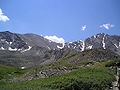
Mount Evans is the highest peak of the Northern Front Range.
-

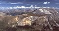
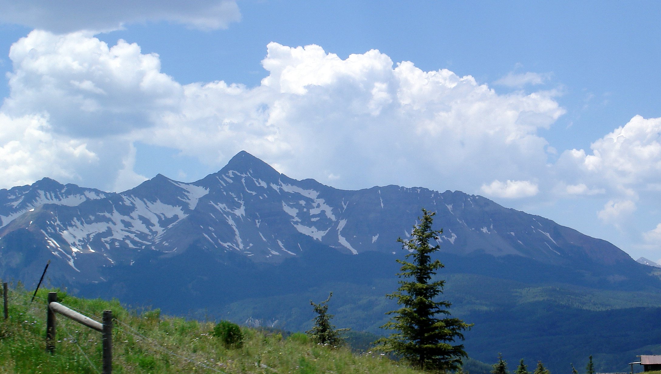
Mount Wilson is the highest peak of the San Miguel Mountains.
-
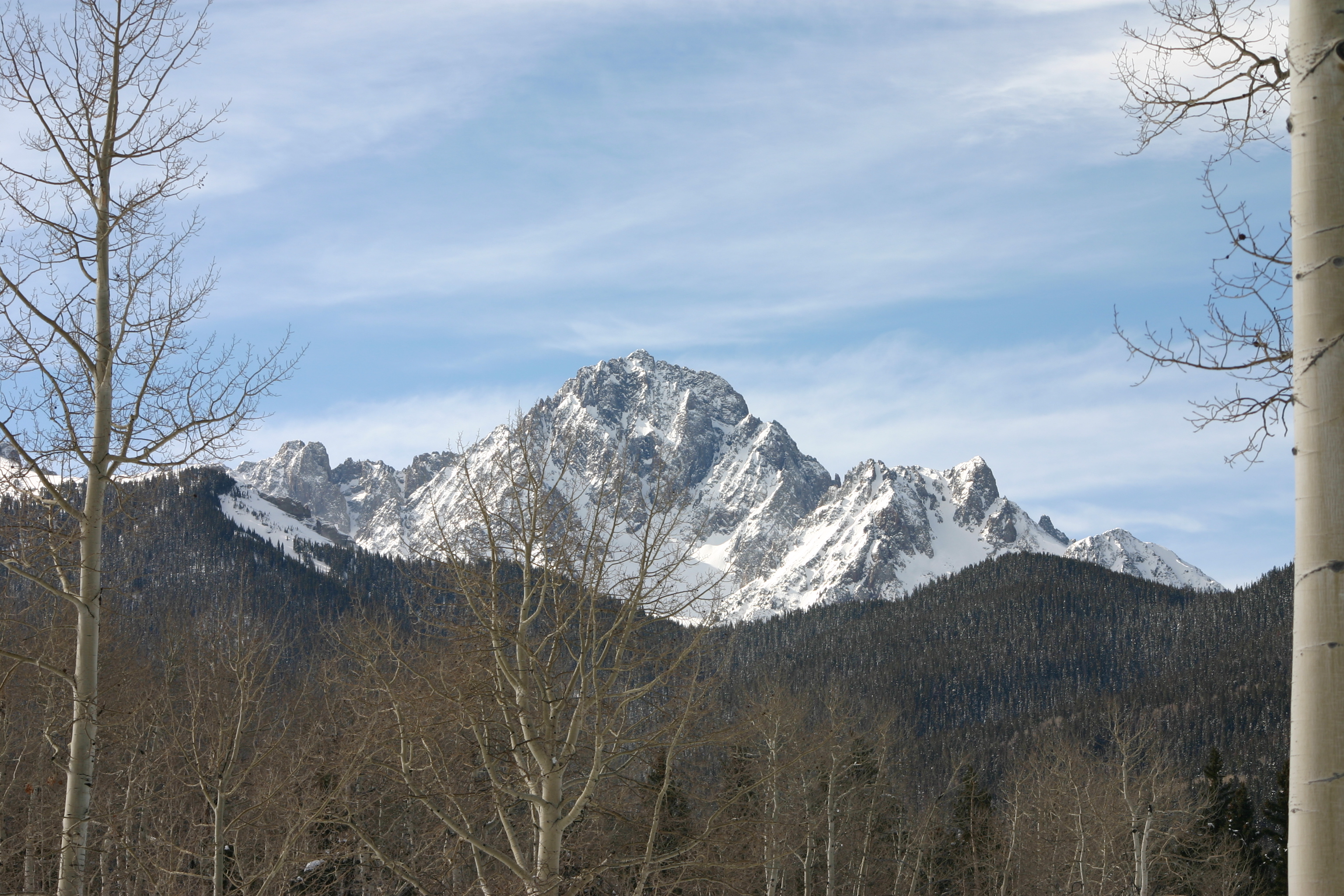
Mount Sneffels is the highest peak of the Sneffels Range.
-

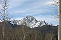
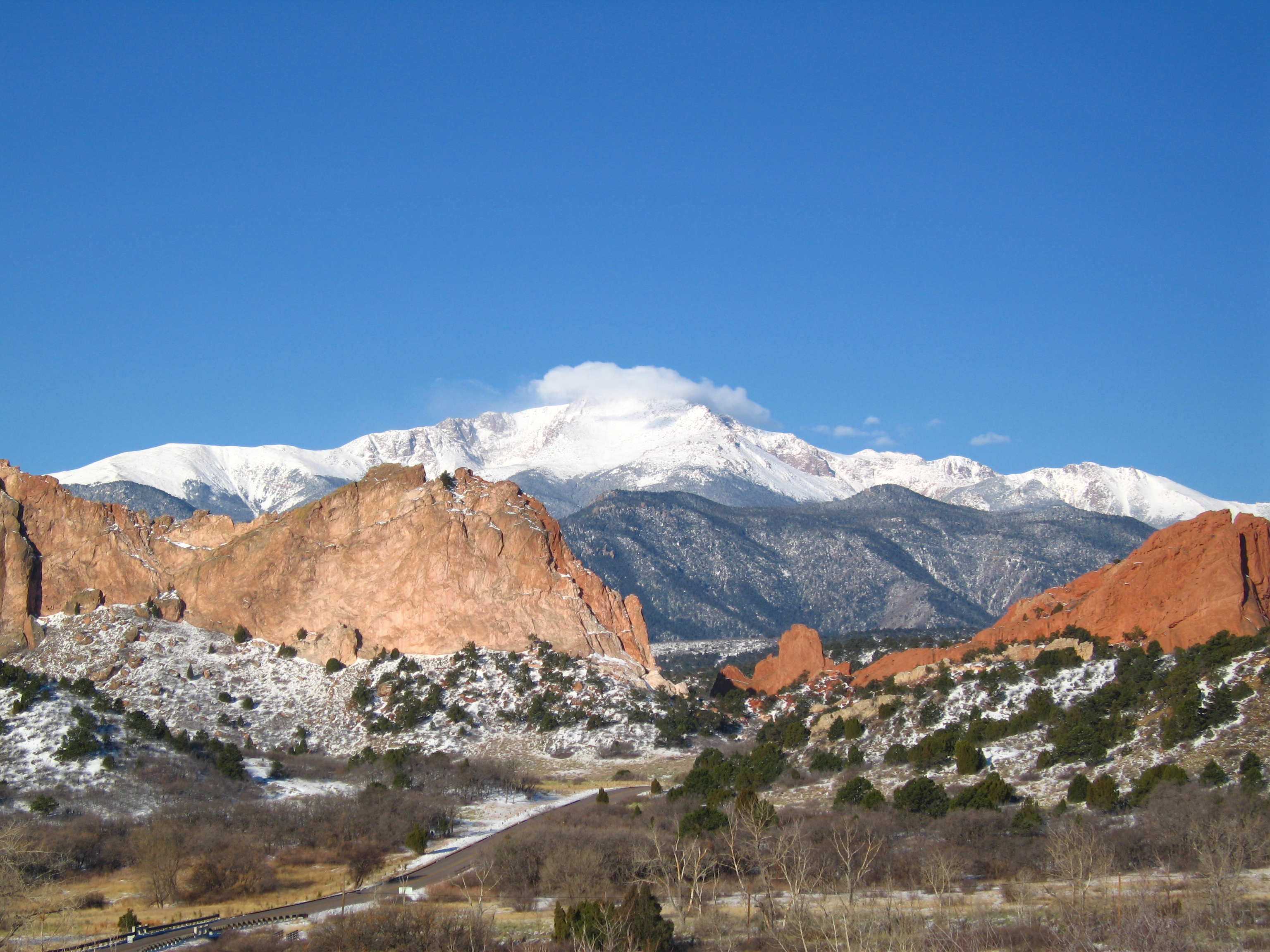
Pikes Peak is the highest peak of the Southern Front Range. The mountain was the inspiration for America the Beautiful.
-
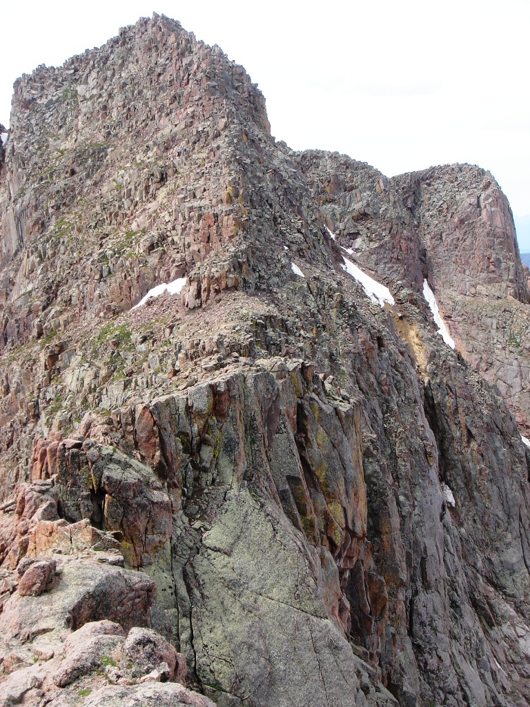
Mount Eolus is the highest peak of the Needle Mountains.
-
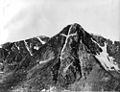
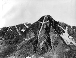
Mount of the Holy Cross is the highest peak of the Northern Sawatch Range. This photograph was taken by William Henry Jackson in 1874.
-
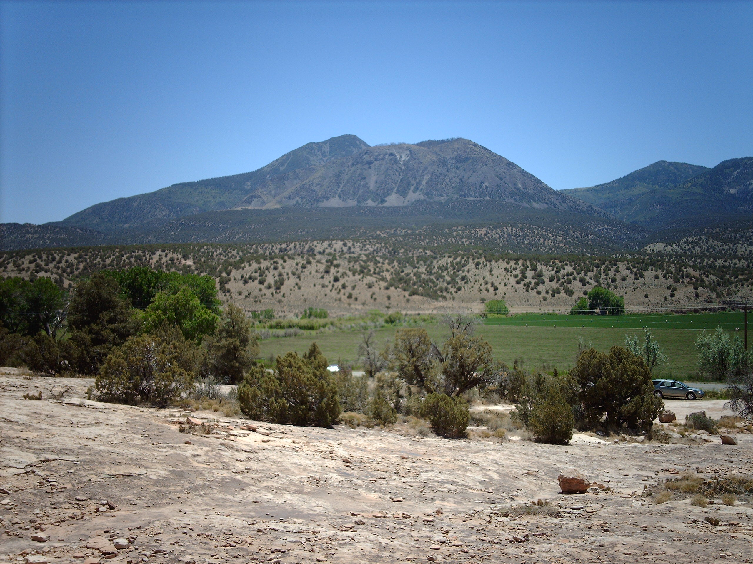
Ute Peak is the highest peak of Ute Mountain.
-
Devils Head is the highest peak of the Rampart Range.
See also
- 4000 meter peaks of Colorado
- Colorado mountain passes
- Geography of Colorado
- Lists of mountains
- Mountain peaks of Colorado
- Mountain peaks of North America
- Mountain peaks of the Rocky Mountains
- Mountain peaks of the United States
- Mountain ranges of the Southern Rocky Mountains
- Rocky Mountains
- Southern Rocky Mountains
- State of Colorado
- Wikimedia Commons: Mountain ranges of Colorado
References
- ^ Sawatch is pronounced /səˈwætʃ/. This name comes from a Ute language word meaning "blue earth" or "water at blue earth". The Spanish language version of this name is usually spelled Saguache, while the English language version is usually spelled Sawatch.
- ^ The summit of Mount Elbert is the highest point of the Rocky Mountains and the State of Colorado.
- ^ a b c d e f g h i j k l m n o p q r s t u v The elevation of this summit has been converted from the National Geodetic Vertical Datum of 1929 (NGVD 29) to the North American Vertical Datum of 1988 (NAVD 88). National Geodetic Survey
- ^ The summit of Grays Peak is the highest point on the Continental Divide of North America.
- ^ The summit of Kings Peak is the highest point of the Uinta Range, the Western Rocky Mountains, and the State of Utah.
- ^ The summit of South Burro Peak in Utah is the highest point of the Eastern Uinta Range.
External links
- National Geodetic Survey website
- United States Geological Survey website
- Colorado Geological Survey website
- Rocky Mountains @ peakbagger.com
- peaklist.org
- peakware.com World Mountain Encyclopedia
- summitpost.org
Categories:- Geography of Colorado
- Lists of mountains of the United States
- Mountain ranges of Colorado
- Mountains of Colorado
- Ranges of the Rocky Mountains
-


Wikimedia Foundation. 2010.