- Chaffee County, Colorado
-
Chaffee County, Colorado 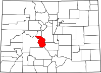
Location in the state of Colorado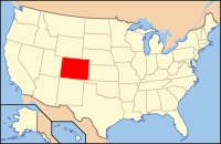
Colorado's location in the U.S.Founded February 10, 1879 Named for Jerome B. Chaffee Seat Salida Largest city Salida Area
- Total
- Land
- Water
1,015.01 sq mi (2,629 km²)
1,013.45 sq mi (2,625 km²)
1.55 sq mi (4 km²), 0.15%Population
- (2000)
- Density
16,242
16/sq mi (6/km²)Time zone Mountain: UTC-7/-6 Website www.chaffeecounty.org Chaffee County is one of the 64 counties of the state of Colorado of the United States. The county population was 16,242 at U.S. Census 2000.[1] The county seat is Salida.[2]
Contents
History
Chaffee County was created by the Colorado legislature on February 10, 1879, out of southern Lake County (although at the time, Lake County was known as Carbonate County, a designation which lasted for only two days). It is known as the “Heart of the Rockies”. It was named for Jerome B. Chaffee, Colorado's first United States Senator.
Geography
According to the 2000 census, the county has a total area of 1,015.01 square miles (2,628.9 km2), of which 1,013.45 square miles (2,624.8 km2) (or 99.85%) is land and 1.55 square miles (4.0 km2) (or 0.15%) is water.[3]
Adjacent counties
- Lake County, Colorado - north
- Park County, Colorado - northeast
- Fremont County, Colorado - southeast
- Saguache County, Colorado - south
- Gunnison County, Colorado - west
- Pitkin County, Colorado - northwest
Demographics
 Chaffee County, Colorado
As of the census[4] of 2000, there were 16,242 people, 6,584 households, and 4,365 families residing in the county. The population density was 16 people per square mile (6/km²). There were 8,392 housing units at an average density of 8 per square mile (3/km²). The racial makeup of the county was 90.94% White, 1.58% Black or African American, 1.09% Native American, 0.44% Asian, 0.05% Pacific Islander, 4.21% from other races, and 1.69% from two or more races. 8.58% of the population were Hispanic or Latino of any race.
There were 6,584 households out of which 25.20% had children under the age of 18 living with them, 56.70% were married couples living together, 6.80% had a female householder with no husband present, and 33.70% were non-families. 28.40% of all households were made up of individuals and 11.20% had someone living alone who was 65 years of age or older. The average household size was 2.26 and the average family size was 2.77.
In the county the population was spread out with 19.70% under the age of 18, 7.70% from 18 to 24, 28.00% from 25 to 44, 27.50% from 45 to 64, and 17.00% who were 65 years of age or older. The median age was 42 years. For every 100 females there were 113.60 males. For every 100 females age 18 and over, there were 116.20 males.
The median income for a household in the county was $34,368, and the median income for a family was $42,043. Males had a median income of $30,770 versus $22,219 for females. The per capita income for the county was $19,430. About 7.40% of families and 11.70% of the population were below the poverty line, including 17.30% of those under age 18 and 10.20% of those age 65 or over.
Ghost Towns
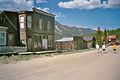
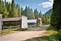
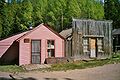
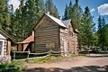
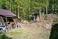
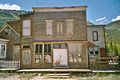
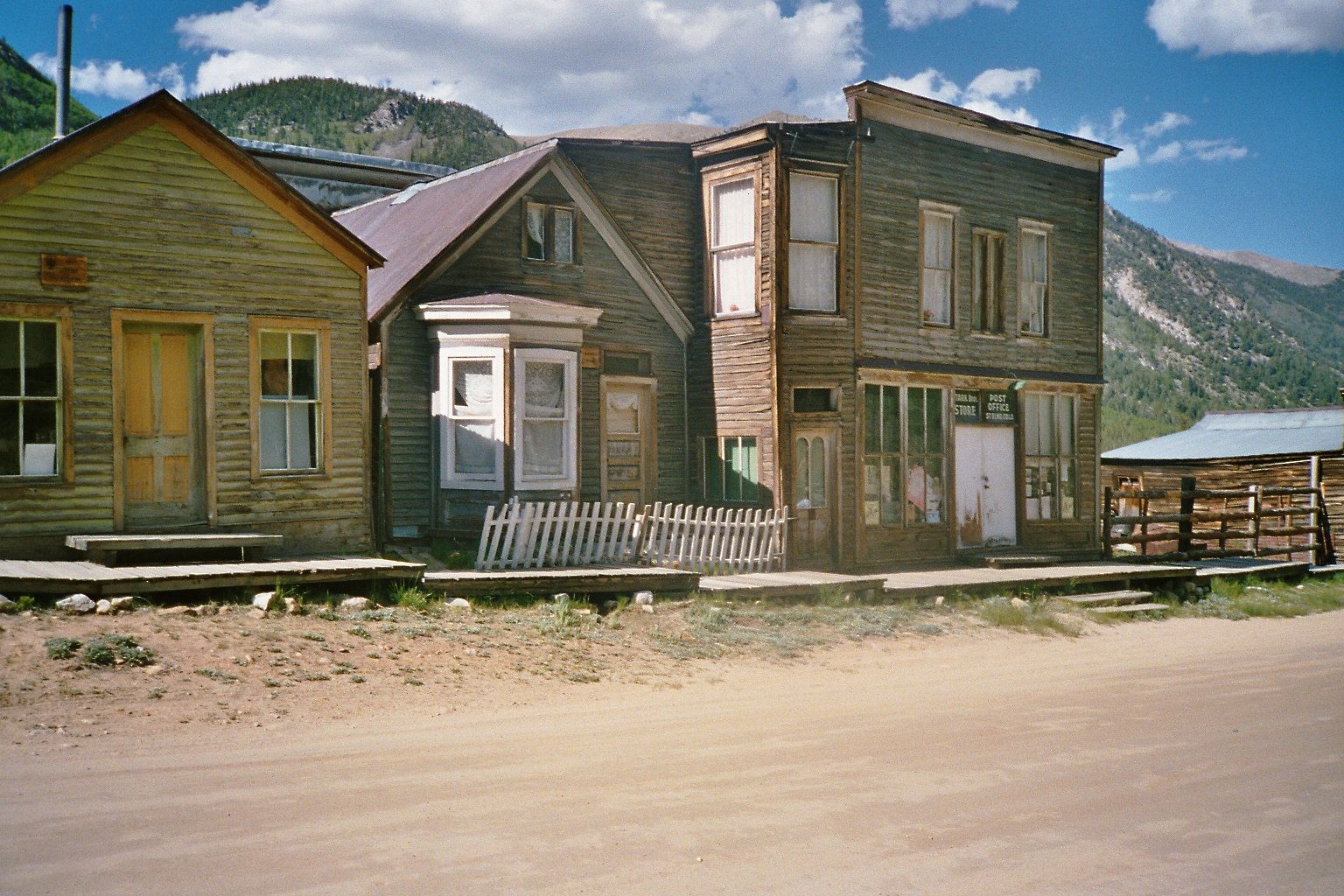
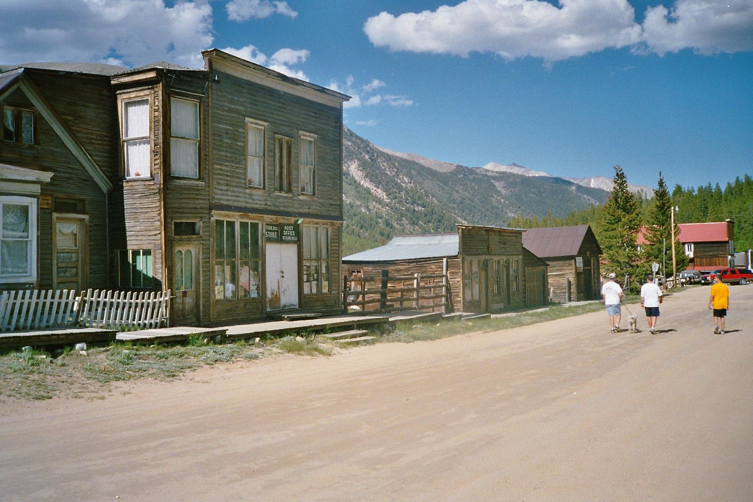
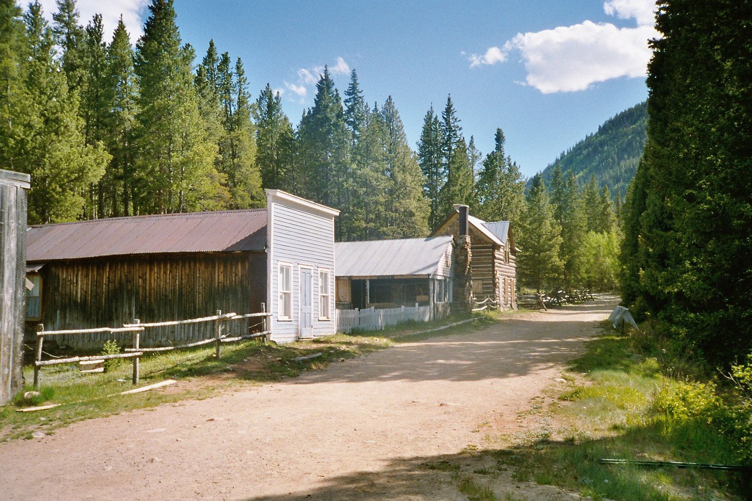
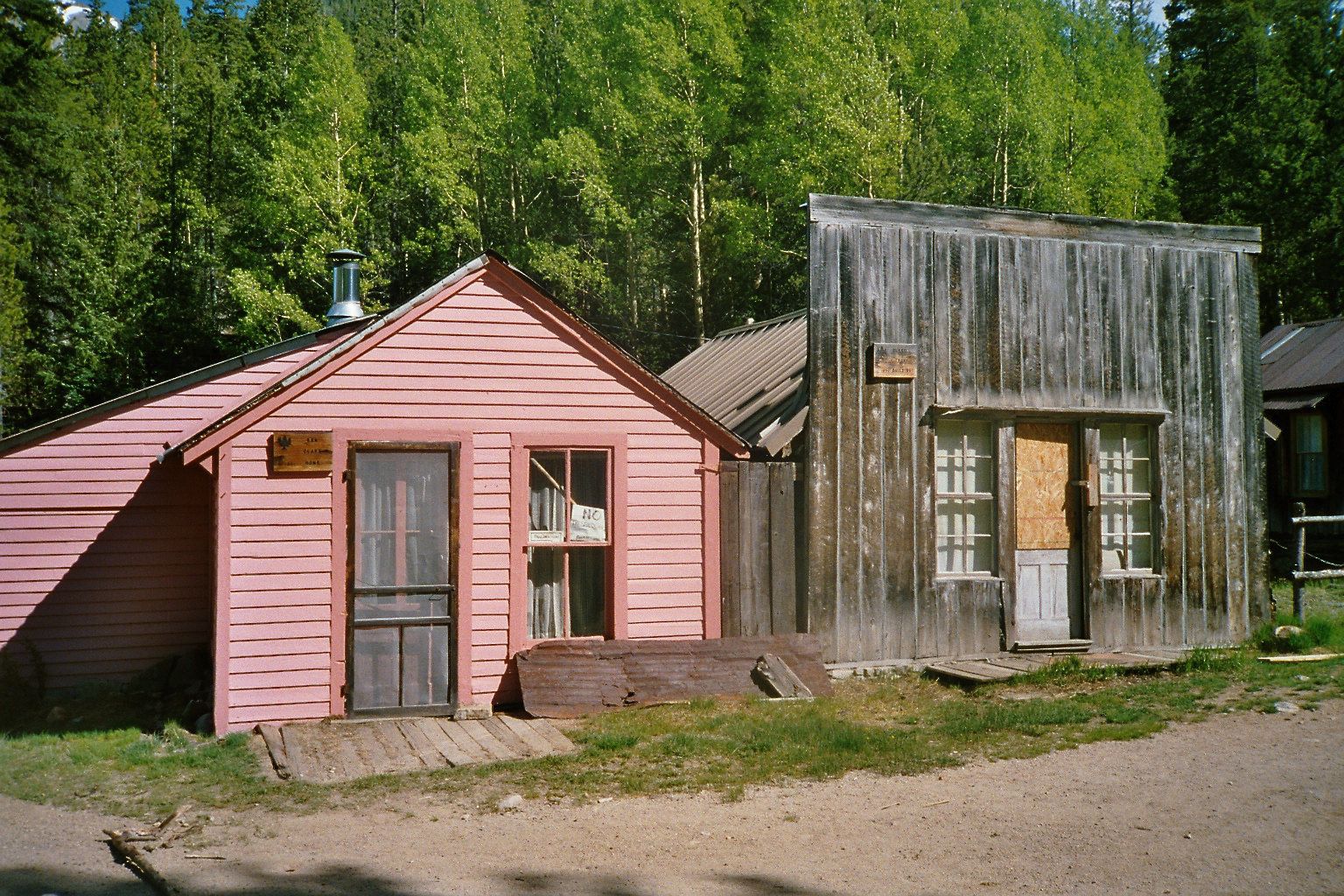
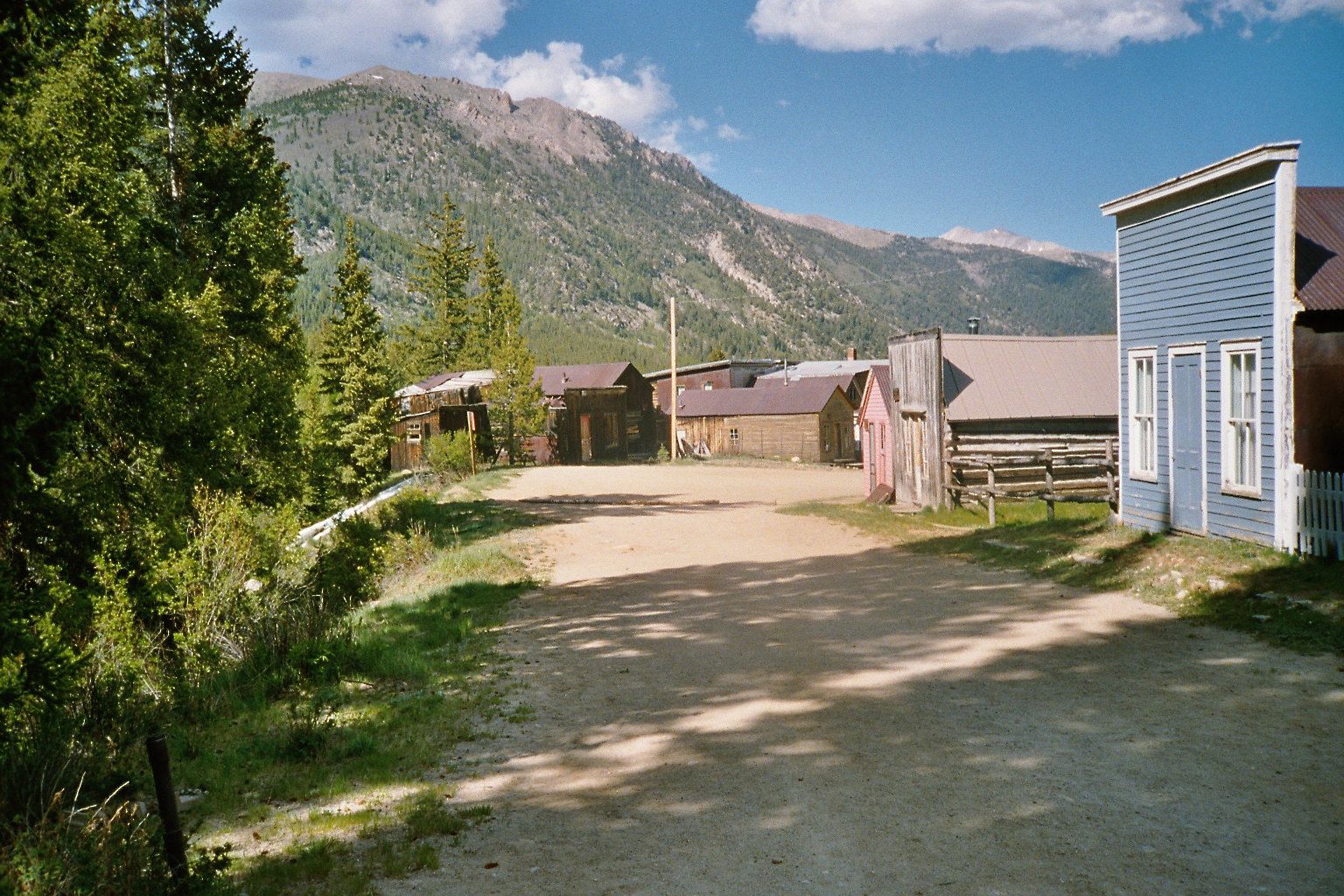
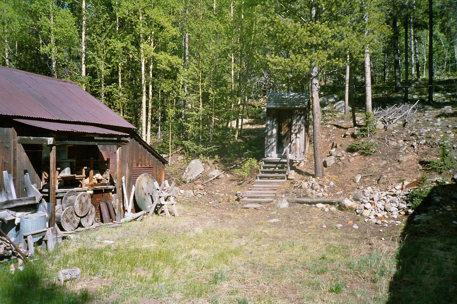
St. Elmo --- all pictures are June 2005
-
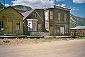
Scene in the ghost town of St. Elmo
-
Scene in the ghost town of St. Elmo
-
Scene in the ghost town of St. Elmo
-
Scene in the ghost town of St. Elmo
-
Scene in the ghost town of St. Elmo
-

Scene in the ghost town of St. Elm
-
Scene in the ghost town of St. Elmo
-
Scene in the ghost town of St. Elmo
Cities and towns
- Americus
- Belleview
- Browns Canon
- Buena Vista
- Centerville
- Cleora
- Futurity
- Garfield
- Granite
- Hamilton
- Johnson Village
- Maysville
- Newett
- Poncha Springs
- Princeton
- Riverside
- Rockdale
- St. Elmo
- Salida
- Smeltertown
- Stonewall
- Turret
- Vicksburg
- Winfield
Recreation area
- Arkansas Headwaters Recreation Area
National forest and wilderness
- Buffalo Peaks Wilderness
- Collegiate Peaks Wilderness
- San Isabel National Forest
Trails
- American Discovery Trail
- Colorado Trail
- Continental Divide National Scenic Trail
Bicycle routes
See also
- Colorado census statistical areas
- Colorado counties
- Colorado municipalities
- National Register of Historic Places listings in Chaffee County, Colorado
- St. Elmo
References
- ^ "Annual County Population Estimates and Estimated Components of Change: April 1, 2000 to July 1, 2006 (CO-EST2006-alldata)" (CSV). 2006 Population Estimates. United States Census Bureau, Population Division. 2007-03-22. http://www.census.gov/popest/counties/files/CO-EST2006-ALLDATA.csv. Retrieved 2007-05-17.
- ^ "Find a County". National Association of Counties. http://www.naco.org/Counties/Pages/FindACounty.aspx. Retrieved 2011-06-07.
- ^ "Census 2000 U.S. Gazetteer Files: Counties". United States Census. http://www.census.gov/tiger/tms/gazetteer/county2k.txt. Retrieved 2011-02-13.
- ^ "American FactFinder". United States Census Bureau. http://factfinder.census.gov. Retrieved 2008-01-31.
External links
- Chaffee County Clerk of Court
- Chaffee County Government website
- Colorado County Evolution by Don Stanwyck
- Colorado Historical Society

Pitkin County Lake County Park County Gunnison County 
 Chaffee County, Colorado

Saguache County Fremont County Municipalities and communities of Chaffee County, Colorado City 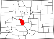
Towns CDPs Garfield | Maysville | Smeltertown
Unincorporated
communitiesCategories:- Colorado counties
- Chaffee County, Colorado
- 1879 establishments


Wikimedia Foundation. 2010.