- Farmington, New Mexico
Infobox Settlement
official_name = The City of Farmington
settlement_type =City
nickname =
motto =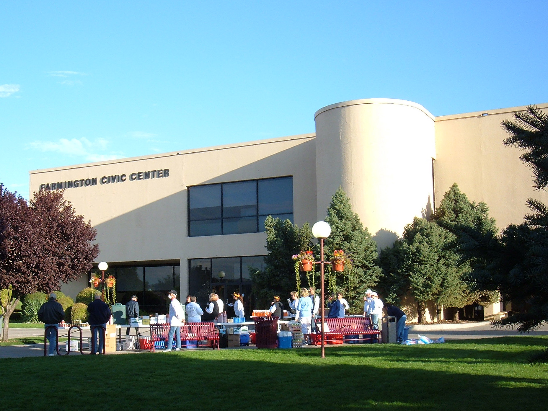
imagesize = 250px
image_caption = Farmington Civic Center
image_
mapsize = 250px
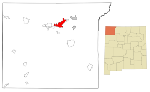
map_caption = Location of Farmington inNew Mexico
mapsize1 =
map_caption1 =
subdivision_type = Country
subdivision_type1 = State
subdivision_type2 = County
subdivision_name =United States
subdivision_name1 =New Mexico
subdivision_name2 = San Juan
government_type =
leader_title =Mayor
leader_name = William E. Standley
established_title = Founded
established_date = 1901
area_magnitude = 1 E7
area_total_sq_mi = 27.0
area_total_km2 = 69.9
area_land_sq_mi = 26.6
area_land_km2 = 68.8
area_water_sq_mi = 0.4
area_water_km2 = 1.1
population_as_of = 2006
population_total = 43573
population_metro =
timezone = MST
utc_offset = -7
timezone_DST = MDT
utc_offset_DST = -6
latd = 36 |latm = 45 |lats = 6 |latNS = N
longd = 108 |longm = 11 |longs = 23 |longEW = W
elevation_m = 1644
elevation_ft = 5395
postal_code_type =ZIP code s
postal_code = 87401, 87402, 87499
area_code = 505
blank_name = FIPS code
blank_info = 35-25800
blank1_name = GNIS feature ID
blank1_info = 0902246
footnotes =
website = http://www.fmtn.org/Farmington ( _nv. Tótah) is a city in San Juan County,
New Mexico ,United States . As of the 2000 census, the city had a total population of 37,844. The Census Bureau's 2006 population estimate for the city is 43,573. [http://factfinder.census.gov/servlet/SAFFPopulation?_event=Search&geo_id=06000US3400372360&_geoContext=01000US%7C04000US34%7C05000US34003%7C06000US3400372360&_street=&_county=Farmington&_cityTown=Farmington&_state=04000US35&_zip=&_lang=en&_sse=on&ActiveGeoDiv=geoSelect&_useEV=&pctxt=fph&pgsl=060&_submenuId=population_0&ds_name=null&_ci_nbr=null&qr_name=null®=null%3Anull&_keyword=&_industry= Farmington city, New Mexico] ,United States Census Bureau , accessedAugust 27 ,2007 .] Farmington is located at the junction of the San Juan, Animas, and La Plata rivers, on theColorado Plateau in the northwest part of the San Juan Basin. It is the principal city of the Farmington, New MexicoMetropolitan Statistical Area , and serves as a hub for much of northwesternNew Mexico and the Four Corners region.Primary industries are
natural gas ,coal , andoil . Major coal mines are operated by BHP Billiton 25 to 30 km (15 to 19 miles) southwest of Farmington, and the coal is used for nearby electric power generation at the Four Corners Power Plant. A new coal-fired electric power-generating plant has been proposed in 2006 for the same area.The site of a 1967 underground nuclear test called "Gasbuggy", part of
Operation Plowshare , was in theCarson National Forest about 50 miles (80 km) east of Farmington and about 25 miles (40 km) south ofDulce, New Mexico ; the test was an attempt to fracture rock so as to facilitate gas extraction.The
Navajo Nation (reservation) is just W and SW of Farmington, The Ute Mountain Indian Reservation is to the NW, and the Southern Ute Indian Reservation is to the NE. Historic Native American sites are close by.Aztec Ruins National Monument andSalmon Ruins are ancient pueblo sites short distances northeast and east of Farmington.Mesa Verde National Park is about 40 miles (64 km) to the NW, andChaco Culture National Historical Park is about 50 miles (80 km) to the SE. The city has been a target of several civil rights investigations, including the 2005 report, "The Farmington Report: Civil Rights for Native Americans 30 Years Later". [http://www.usccr.gov/pubs/122705_FarmingtonReport.pdf]Geography
Farmington is located at coor dms|36|45|6|N|108|11|23|W|city (36.751549, -108.189768)GR|1.
According to the
United States Census Bureau , the city has a total area of 27.0square mile s (69.9km² ), of which, 26.6 square miles (68.8 km²) of it is land and 0.4 square miles (1.1 km²) of it (1.56%) is water.Demographics
As of the
census GR|2 of 2005, there were 43,161 people, 13,982 households, and 10,095 families residing in the city. (However, the population almost doubles to near 100,000 during the weekends.) Thepopulation density was 1,424.5 people per square mile (549.9/km²). There were 15,077 housing units at an average density of 567.5/sq mi (219.1/km²). The racial makeup of the city was 70.74% White, 0.84% African American, 16.96% Native American, 0.52% Asian, 0.06% Pacific Islander, 7.77% from other races, and 3.10% from two or more races. Hispanic or Latino of any race were 17.66% of the population.There were 13,982 households out of which 37.9% had children under the age of 18 living with them, 54.3% were married couples living together, 12.4% had a female householder with no husband present, and 27.8% were non-families. 22.6% of all households were made up of individuals and 7.2% had someone living alone who was 65 years of age or older. The average household size was 2.67 and the average family size was 3.13.
In the city the population was spread out with 29.3% under the age of 18, 9.9% from 18 to 24, 28.5% from 25 to 44, 21.5% from 45 to 64, and 10.7% who were 65 years of age or older. The median age was 34 years. For every 100 females there were 96.2 males. For every 100 females age 18 and over, there were 93.0 males.
The median income for a household in the city was $37,663, and the median income for a family was $42,605. Males had a median income of $37,068 versus $22,717 for females. The
per capita income for the city was $18,167. About 12.9% of families and 16.0% of the population were below thepoverty line , including 22.8% of those under age 18 and 7.2% of those age 65 or over.Notable people
*
Willard Hughes Rollings (1948-2008),historian of Native AmericansEducation
The
Farmington Municipal School District serves over 10,000 students in grades K-12 in 18 schools. The high schools are Farmington High School,Piedra Vista High School , andRocinante High School . There are six private schools. cite web
url= http://www.gofarmington.com/community_resources/schools.htm
title= Schools in Farmington New Mexico
accessdate= 2008-05-18
publisher= Farmington Chamber of Commerce] San Juan College is a public two-year college with average enrollment of about 10,000. [cite book
title= San Juan College Fact Book 2007
url= http://www.sjc.cc.nm.us/documents/AboutSJC/Fact%20Book%202007.pdf
format= PDF
accessdate= 2008-05-18
publisher= San Juan College Office of Institutional Research
location= Farmington, NM] Rp|2-2Farmington Public Library moved into a new building in 2003 and holds about 200,000 items in its collection. There is a branch library in Shiprock.Transportation
Air
*Farmington is served byFour Corners Regional Airport .Road
*U.S. Route 64 is the major east-west highway through Farmington.
*U.S. Route 550 , which runs through nearby Bloomfield and Aztec, connects Farmington to central New Mexico andI-25 .Activities
*Farmington has been the home of the Connie Mack World Series of Baseball for 43 years, hosting its first CMWS tournament in 1965. Connie Mack regular season play allows players ages 16 to 18 to participate. The Connie Mack World Series consists of 10 teams from various regions around the United States, including a team from Puerto Rico. The Connie Mack World Series is played in August yearly, at Ricketts Park in the City of Farmington. Operated by the City of Farmington year-round, the seating capacity at Ricketts Park baseball field is 5, 072. Dimensions of Ricketts field - RF-330, RCF-342, CF-370, LCF-544, and LF-320.
References
External links
* [http://www.fmtn.org/ Official Website of the City of Farmington]
* [http://www.gofarmington.com/ Farmington Chamber of Commerce]
* [http://www.farmingtonnm.org/ Farmington Convention & Visitors Bureau]
* [http://www.daily-times.com/ Farmington Daily Times]
* [http://www.infoway.org/storytelling/2007/index.asp Four Corners Storytelling Festival] Annualstorytelling festival in October
* [http://ludb.clui.org/ex/i/NM3130/ Gasbuggy Nuclear Test Site]

Wikimedia Foundation. 2010.