- Aztec, New Mexico
Infobox Settlement
official_name = Aztec, New Mexico
settlement_type =City
nickname =
motto =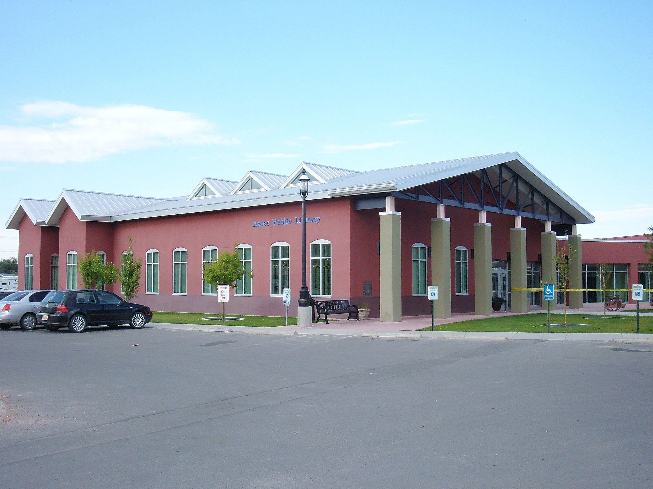
imagesize = 250px
image_caption = Aztec Public Library
image_
image_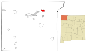
mapsize = 250px
map_caption = Location of Aztec, New Mexico
mapsize1 =
map_caption1 =subdivision_type = Country
subdivision_name =United States
subdivision_type1 = State
subdivision_name1 =New Mexico
subdivision_type2 = County
subdivision_name2 = San Juan
government_footnotes =
government_type =
leader_title =
leader_name =
leader_title1 =
leader_name1 =
established_title =
established_date =unit_pref = Imperial
area_footnotes =
area_magnitude =
area_total_km2 = 25.4
area_land_km2 = 25.2
area_water_km2 = 0.2
area_total_sq_mi = 9.8
area_land_sq_mi = 9.7
area_water_sq_mi = 0.1population_as_of = 2000
population_footnotes =
population_total = 6378
population_density_km2 = 253.2
population_density_sq_mi = 655.7timezone = Mountain (MST)
utc_offset = -7
timezone_DST = MDT
utc_offset_DST = -6
elevation_footnotes =
elevation_m = 1721
elevation_ft = 5646
latd = 36 |latm = 49 |lats = 34 |latNS = N
longd = 107 |longm = 59 |longs = 44 |longEW = Wpostal_code_type =
ZIP code
postal_code = 87410
area_code = 505
blank_name = FIPS code
blank_info = 35-05780
blank1_name = GNIS feature ID
blank1_info = 0898624
website =
footnotes =Aztec ( _nv. Kinteel) is a city in San Juan County,
New Mexico ,United States . It is part of theFarmington, New Mexico Metropolitan Statistical Area . The population was 6,378 at the 2000 census. It is thecounty seat of San Juan CountyGR|6. TheAztec Ruins National Monument stands close to the city.Geography
Aztec is located at coor dms|36|49|34|N|107|59|44|W|city (36.826046, -107.995595)GR|1.
According to the
United States Census Bureau , the city has a total area of 9.8square mile s (25.4km² ), of which, 9.7 square miles (25.2 km²) of it is land and 0.1 square miles (0.2 km²) of it (0.82%) is water.Demographics
As of the
census GR|2 of 2000, there were 2 people, 2,330 households, and 1,589 families residing in the city. Thepopulation density was 655.7 people per square mile (253.1/km²). There were 2,545 housing units at an average density of 261.6/sq mi (101.0/km²). The racial makeup of the city was 79.23% White, 0.38% African American, 9.31% Native American, 0.14% Asian, 0.13% Pacific Islander, 7.53% from other races, and 3.29% from two or more races. Hispanic or Latino of any race were 19.22% of the population.There were 2,330 households out of which 35.3% had children under the age of 18 living with them, 50.5% were married couples living together, 12.5% had a female householder with no husband present, and 31.8% were non-families. 27.6% of all households were made up of individuals and 11.5% had someone living alone who was 65 years of age or older. The average household size was 2.51 and the average family size was 3.06.
In the city the population was spread out with 26.6% under the age of 18, 10.7% from 18 to 24, 29.5% from 25 to 44, 20.2% from 45 to 64, and 13.0% who were 65 years of age or older. The median age was 34 years. For every 100 females there were 104.6 males. For every 100 females age 18 and over, there were 101.1 males.
The median income for a household in the city was
USD $33,110, and the median income for a family was $39,509. Males had a median income of $36,845 versus $17,841 for females. Theper capita income for the city was $14,750. About 14.6% of families and 17.4% of the population were below thepoverty line , including 20.6% of those under age 18 and 15.7% of those age 65 or over.Education
Aztec Municipal Schools serves the city of Aztec and rural areas in northeastern San Juan County.References
External links
* [http://www.aztecnm.com/ Aztec official city website]
* [http://www.aztecchamber.com/ Aztec Chamber of Commerce]
Wikimedia Foundation. 2010.