- Coteau des Prairies
-
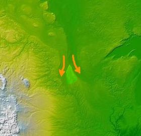 The Coteau des Prairies: orange arrows indicate paths of the two lobes of the glacier around either side of the formation.
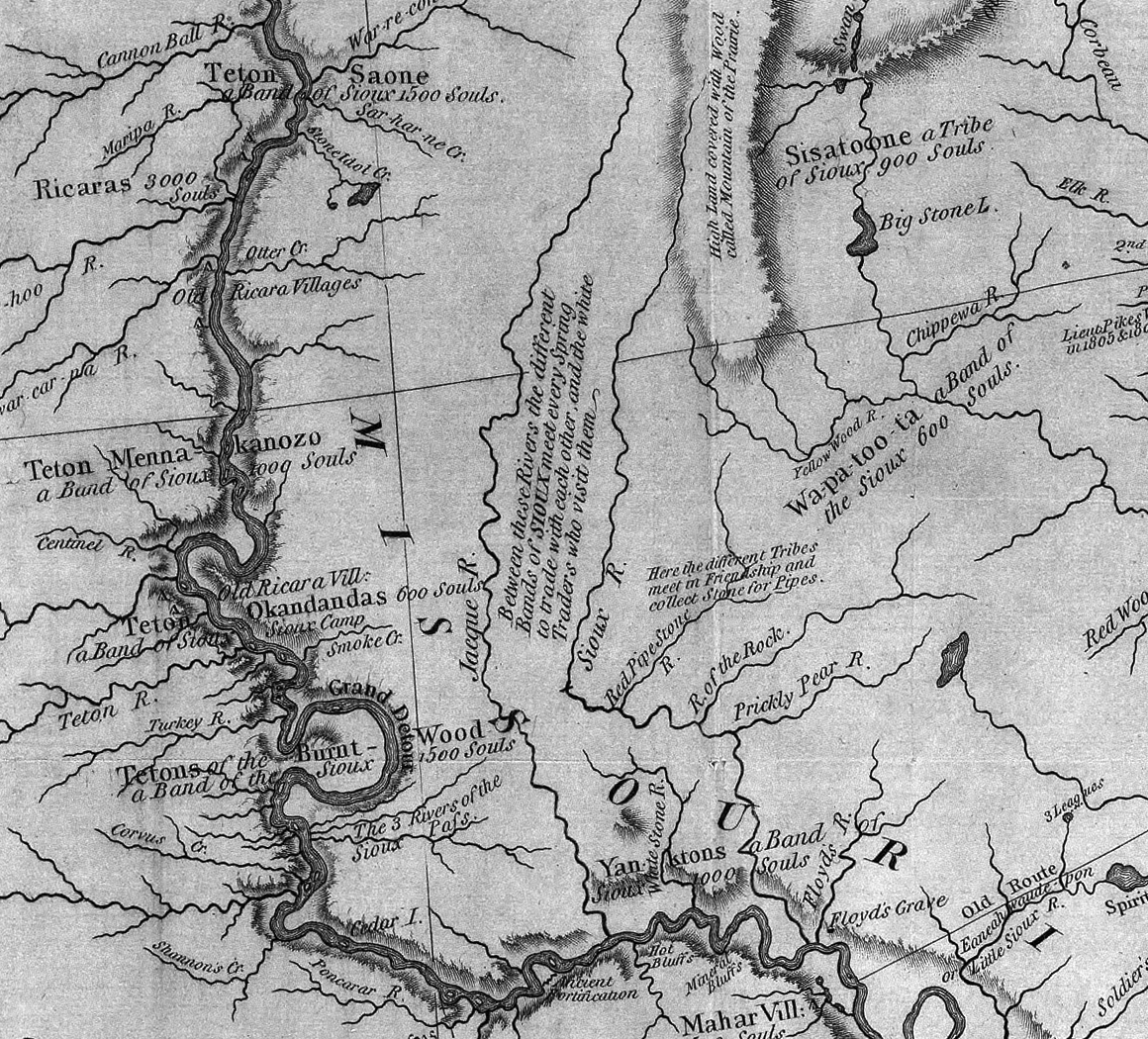
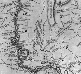 This excerpt from the Lewis and Clark map of 1814 shows the rivers of western Iowa and eastern South Dakota. The Coteau des Prairies is seen near the upper center of the map, "High land covered with wood called mountain of the prairie."
The Coteau des Prairies is a plateau approximately 200 miles in length and 100 miles in width (320 by 160 km), rising from the prairie flatlands in eastern South Dakota, southwestern Minnesota, and northwestern Iowa in the United States. The southeast portion of the Coteau comprises one of the distinct regions of Minnesota, known as Buffalo Ridge.
The flatiron-shaped plateau was named by early French explorers from New France (Quebec), Coteau meaning "slope"[citation needed] in French.
The plateau is composed of thick glacial deposits, the remnants of many repeated glaciations, reaching a composite thickness of approximately 900 feet (275 m). They are underlain by a small ridge of resistant Cretaceous shale. During the last (Pleistocene) Ice Age, two lobes of the glacier appear to have parted around the pre-existing plateau and further deepened the lowlands flanking the plateau.
The plateau has numerous small glacial lakes and is drained by the Big Sioux River in South Dakota and the Cottonwood River in Minnesota. Pipestone deposits on the plateau have been quarried for hundreds of years by Native Americans, who use the prized, brownish-red mineral to make their sacred peace pipes. The quarries are located at Pipestone National Monument in the southwest corner of Minnesota and in adjacent Minnehaha County, South Dakota.
Numerous wind farms have been built on the area to take advantage of the high average wind speeds.[1][2]
Contents
Additional Images
-

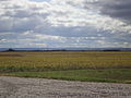
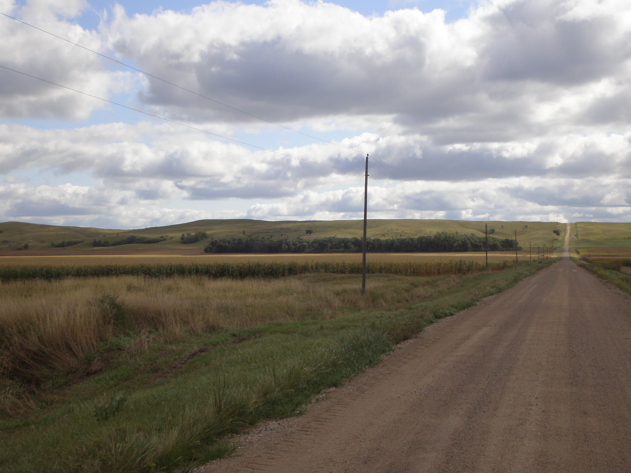
Northern tip of Coteau des Prairies, as seen from 139th Ave SE near Havana, ND
-
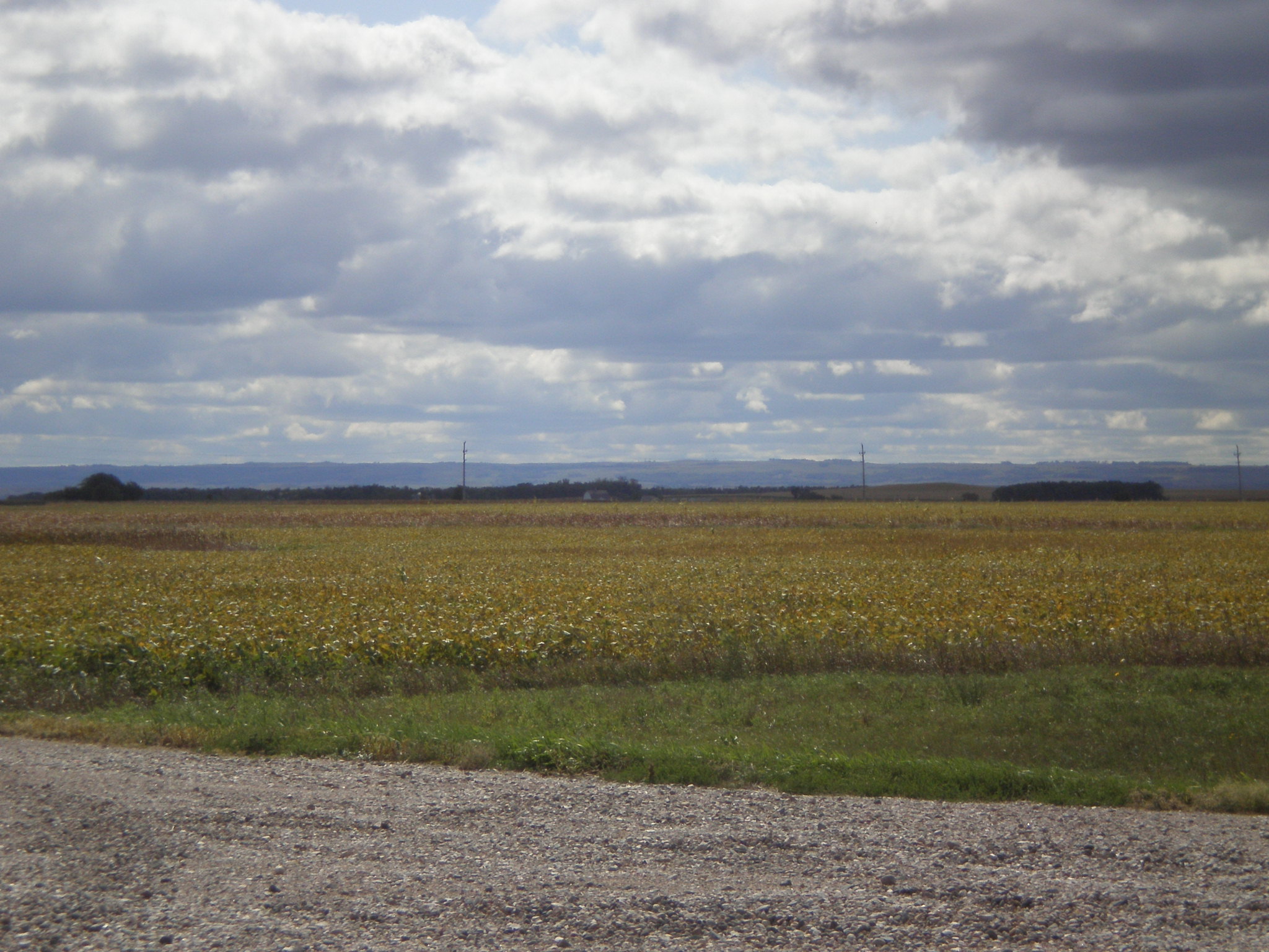
Coteau des Prairies as seen from the northeast, near Lidgerwood, ND
-

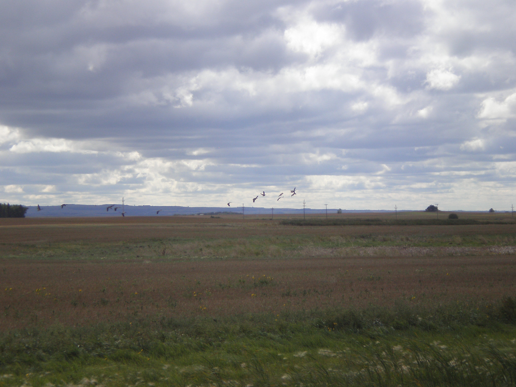
The northern head of the Coteau des Prairies, as seen from the Northeast near Lidgerwood, ND.
See also
- Missouri Plateau
References
External links
- USGS Site on the Coteau des Prairies
- Glacial History of Coteau des Prairies (University of South Dakota).
 State of Minnesota
Saint Paul (capital) Topics Index · Cities · Climate · Colleges and universities · Congressional districts · Demographics · Ecology · Economy · Geography · Geology · Governors · High schools · Historical Congressional delegations · Historical Landmarks · History · Lakes · Movies and television · Music · People · Political parties · Rivers · School districts · Scouting · Sports · State fair · State parks · Territory · Townships · Transportation · Visitor Attractions
Regions Arrowhead · Boundary Waters · Buffalo Ridge · Central · Coteau des Prairies · Driftless Area · Iron Range · Minnesota River Valley · North Shore · Northwest Angle · North Woods · Pipestone · Red River Valley · Southeast · Twin Cities metropolitan area
Larger cities
pop. over 60,000Bloomington · Brooklyn Park · Burnsville · Coon Rapids · Duluth · Eagan · Eden Prairie · Maple Grove · Minneapolis · Plymouth · Rochester · Saint Paul · St. Cloud · Woodbury
Smaller cities
pop. over 10,000Albert Lea · Alexandria · Andover · Anoka · Apple Valley · Austin · Bemidji · Big Lake · Blaine · Brainerd · Brooklyn Center · Buffalo · Champlin · Chanhassen · Chaska · Cloquet · Columbia Heights · Cottage Grove · Crystal · East Bethel · Edina · Elk River · Fairmont · Faribault · Farmington · Fergus Falls · Forest Lake · Fridley · Golden Valley · Grand Rapids · Ham Lake · Hastings · Hibbing · Hopkins · Hugo · Hutchinson · Inver Grove Heights · Lakeville · Lino Lakes · Mankato · Maplewood · Marshall · Mendota Heights · Minnetonka · Monticello · Moorhead · Mounds View · New Brighton · New Hope · New Ulm · North Branch · North Mankato · North St. Paul · Northfield · Oakdale · Otsego · Owatonna · Prior Lake · Ramsey · Red Wing · Richfield · Robbinsdale · Rosemount · Roseville · Sartell · Sauk Rapids · Savage · Shakopee · Shoreview · South St. Paul · St. Louis Park · St. Michael · St. Peter · Stillwater · Vadnais Heights · Waconia · West St. Paul · White Bear Lake · Willmar · Winona · Worthington
Counties Aitkin · Anoka · Becker · Beltrami · Benton · Big Stone · Blue Earth · Brown · Carlton · Carver · Cass · Chippewa · Chisago · Clay · Clearwater · Cook · Cottonwood · Crow Wing · Dakota · Dodge · Douglas · Faribault · Fillmore · Freeborn · Goodhue · Grant · Hennepin · Houston · Hubbard · Isanti · Itasca · Jackson · Kanabec · Kandiyohi · Kittson · Koochiching · Lac qui Parle · Lake · Lake of the Woods · Le Sueur · Lincoln · Lyon · Mahnomen · Marshall · Martin · McLeod · Meeker · Mille Lacs · Morrison · Mower · Murray · Nicollet · Nobles · Norman · Olmsted · Otter Tail · Pennington · Pine · Pipestone · Polk · Pope · Ramsey · Red Lake · Redwood · Renville · Rice · Rock · Roseau · St. Louis · Scott · Sherburne · Sibley · Stearns · Steele · Stevens · Swift · Todd · Traverse · Wabasha · Wadena · Waseca · Washington · Watonwan · Wilkin · Winona · Wright · Yellow Medicine
 State of Iowa
Des Moines (capital) Topics Index · Geology · Environment · Archaeology · Native Americans · History · Historic Places · Iowans · Visitor Attractions · State Parks · Delegations · Demographics · Governors · Legislature · Flag · Seal · Education · Sports · Area codes
Regions Coteau des Prairies · Des Moines metropolitan area · Dissected Till Plains · Driftless Area · Great River Road · Honey Lands · Iowa Great Lakes · Loess Hills · Omaha-Council Bluffs metropolitan area · Quad Cities · Siouxland
Largest cities Ames · Ankeny · Bettendorf · Burlington · Cedar Falls · Cedar Rapids · Clinton · Council Bluffs · Davenport · Des Moines · Dubuque · Fort Dodge · Iowa City · Marion · Marshalltown · Mason City · Muscatine · Ottumwa · Sioux City · Urbandale · Waterloo · West Des Moines
Counties Adair · Adams · Allamakee · Appanoose · Audubon · Benton · Black Hawk · Boone · Bremer · Buchanan · Buena Vista · Butler · Calhoun · Carroll · Cass · Cedar · Cerro Gordo · Cherokee · Chickasaw · Clarke · Clay · Clayton · Clinton · Crawford · Dallas · Davis · Decatur · Delaware · Des Moines · Dickinson · Dubuque · Emmet · Fayette · Floyd · Franklin · Fremont · Greene · Grundy · Guthrie · Hamilton · Hancock · Hardin · Harrison · Henry · Howard · Humboldt · Ida · Iowa · Jackson · Jasper · Jefferson · Johnson · Jones · Keokuk · Kossuth · Lee · Linn · Louisa · Lucas · Lyon · Madison · Mahaska · Marion · Marshall · Mills · Mitchell · Monona · Monroe · Montgomery · Muscatine · O'Brien · Osceola · Page · Palo Alto · Plymouth · Pocahontas · Polk · Pottawattamie · Poweshiek · Ringgold · Sac · Scott · Shelby · Sioux · Story · Tama · Taylor · Union · Van Buren · Wapello · Warren · Washington · Wayne · Webster · Winnebago · Winneshiek · Woodbury · Worth · Wright
Categories:- Landforms of Iowa
- Landforms of Minnesota
- Regions of South Dakota
- Landforms of South Dakota
- Plateaus of the United States
- South Dakota geography stubs
- Minnesota geography stubs
- Iowa geography stubs
-

Wikimedia Foundation. 2010.