- Great River Road
-
Coordinates: 41°41′31″N 90°21′16″W / 41.69204°N 90.354424°W
Great River Road
Route information Length: 2,069.0 mi[1] (3,329.7 km) Location States: Minnesota, Wisconsin, Iowa, Illinois, Missouri, Kentucky, Tennessee, Arkansas, Mississippi, Louisiana Highway system National Scenic Byways For the tourist route in Ontario, see List of Ontario Tourist Routes.The Great River Road is a collection of state, provincial, federal, and local roads which follow the course of the Mississippi River through ten states of the United States. They are Arkansas, Illinois, Iowa, Kentucky, Louisiana, Minnesota, Mississippi, Missouri, Tennessee and Wisconsin.
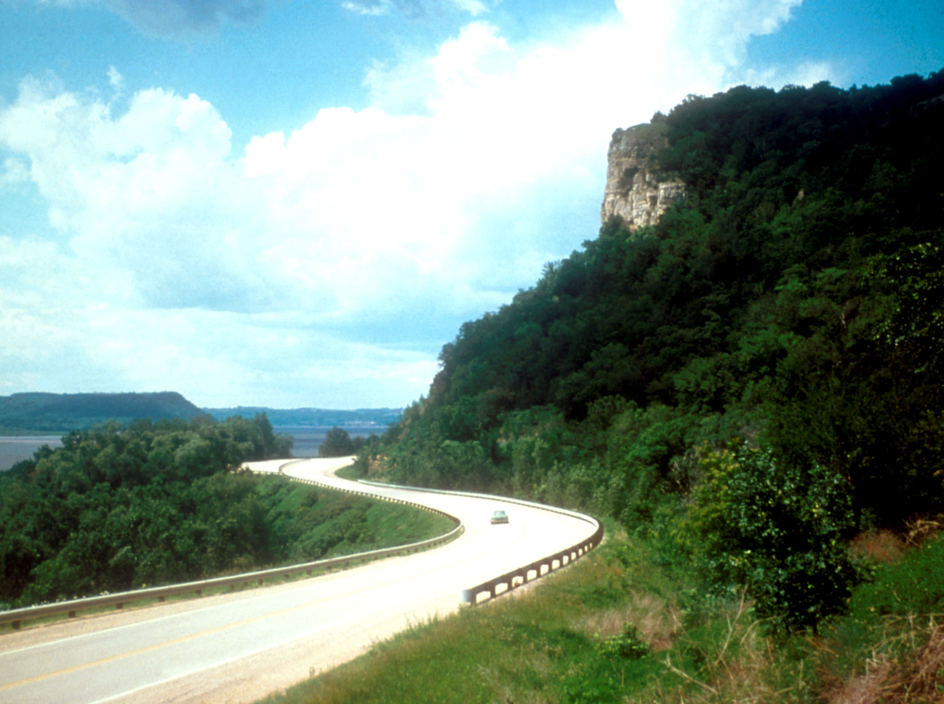
 Looking north along the Great River Road in Wisconsin, with Minnesota in the distance on the west side of the Mississippi River.
Although in a literal sense it is just a series of roads, the Great River Road is also a larger region inside the US and in each state. It is not a road in the sense of a local, state or national highway but the term is instead used for tourism and historic purposes. Some states have designated or identified regions of state interest along the road and use the roads to encompass those regions.[2][3] The road travels through or near many natural and urban areas.
Divided into two main sections, the road consists of the Great River Road and the National Scenic Byway Route. The eponymous segment runs on both sides of the river from Louisiana through the state borders of Kentucky/Illinois and Missouri/Iowa, excepting the full length of the road in Arkansas. A five-state section of the road has been designated a National Scenic Byway, running through Arkansas, Illinois, Iowa, Wisconsin, and Minnesota.
 The distinctive route marker that is displayed along the entire 10 state routing of the Great River Road.
Developed in 1938, the road has a separate commission in each state. These in turn cooperate through the Mississippi River Parkway Commission (MRPC). The 2,340 miles (3,765 km) are designated with a green-and-white sign showing a river steamboat inside a pilotwheel with the name of the state or province. The over-all logo reads "Canada to Gulf" where the local name would be, and most MRPC publications denote the route as beginning in Ontario and ending in Louisiana.
Contents
Routing
See also: Routing of the Great River RoadThe Great River Road is not a single road as its name might suggest. It is more accurately described as a designated route, the whole of which consists of connected segments of other named and numbered highways and routes, each maintained by local jurisdictions.
There are stretches of road designated Great River Road in each of the three central hydrographic basins of North America. The watershed, or river basin divide, between the Mississippi Basin Great River Road, and the Manitoba/Ontario Great River Road in the Hudson Bay Basin, lies about 50km south of a line between Warroad, Minnesota, and International Falls, Minnesota.
In the Mississippi Basin
In the Mississippi Basin the Great River Road road runs from the traditional source of the Mississippi River in Lake Itasca, Minnesota. south to the mouths of the Mississippi River near Venice, Louisiana. From Hastings, Minnesota, south to Gretna, Louisiana, the road runs along both banks of the Mississippi River.
Bibliography
- "Discover America's Great River Road" by Pat Middleton, ISBN 0-9620823-8-4, Great River Publishing 1996
- "Life on the Mississippi: For the ultimate cross-country driving trip, travel down the Great River Road" by Paul Lukas, Money Magazine June 1, 2002
- "The Great River Road runs through 10 states -- and countless tales" by Zeke Wigglesworth, Knight-Ridder/Tribune News Service July 10, 1995
See also
References
- ^ Federal Highway Administration. "Great River Road". http://www.byways.org/explore/byways/2279/. Retrieved August 5, 2011.
- ^ http://www.mnmississippiriver.com/page2.htm
- ^ Visitor's Guide to the Middle Mississippi River Valley, Great River Road
External links
Categories:- Great River Road
- National Scenic Byways
- Regions of Iowa
- Roads in Minnesota


Wikimedia Foundation. 2010.