- Olmsted County, Minnesota
-
Olmsted County, Minnesota 
Seal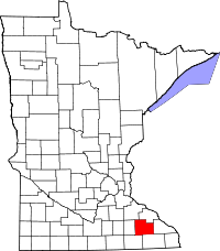
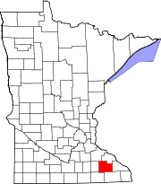
Location in the state of Minnesota
Minnesota's location in the U.S.Founded February 20, 1855 [1] Named for David Olmsted, the first mayor of St. Paul, Minnesota. Seat Rochester Largest city Rochester Area
- Total
- Land
- Water
654.50 sq mi (1,695 km²)
653.01 sq mi (1,691 km²)
1.49 sq mi (4 km²), 0.23%Population
- (2010)
- Density
144,248
190/sq mi (73/km²)Time zone Central: UTC-6/-5 Website www.co.olmsted.mn.us Olmsted County is a county located in the U.S. state of Minnesota, founded in 1855[1] As of 2010, the population was 144,248.[2] Its county seat and largest city is Rochester[3].
Olmsted County is part of the Rochester, MN Metropolitan Statistical Area.
Contents
Geography
According to the 2000 census, the county has a total area of 654.50 square miles (1,695.1 km2), of which 653.01 square miles (1,691.3 km2) (or 99.77%) is land and 1.49 square miles (3.9 km2) (or 0.23%) is water.[4] It is one of four counties in the state with no natural lakes.
Lakes
Although Olmsted County contains no natural lakes, it does have six reservoirs created by dams.
- Chester Lake: Eyota Township
- Lake Florence: High Forest Township
- Lake George: Rochester Township
- Mayowood Lake: Rochester Township
- Silver Lake: Haverhill Township and Cascade Township
- Lake Zumbro (partially): Oronoco Township
Major highways
 Interstate 90
 U.S. Highway 14
 U.S. Highway 52
 U.S. Highway 63
 Minnesota State Highway 30
 Minnesota State Highway 42
 Minnesota State Highway 74
 Minnesota State Highway 247
 Olmsted County Highway 22
Adjacent counties
- Wabasha County (north)
- Winona County (east)
- Fillmore County (south)
- Mower County (southwest)
- Dodge County (west)
- Goodhue County (northwest)
Demographics
Historical populations Census Pop. %± 1860 9,524 — 1870 19,793 107.8% 1880 21,543 8.8% 1890 19,806 −8.1% 1900 23,119 16.7% 1910 22,497 −2.7% 1920 28,014 24.5% 1930 35,426 26.5% 1940 42,658 20.4% 1950 48,228 13.1% 1960 65,532 35.9% 1970 84,104 28.3% 1980 92,006 9.4% 1990 106,470 15.7% 2000 124,277 16.7% 2010 144,248 16.1% U.S. Decennial Census 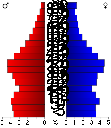 Age pyramid of county residents based on 2000 U.S. census data.
As of the census[5] of 2000, there were 124,277 people, 47,807 households, and 32,317 families residing in the county. The population density was 190 people per square mile (73/km²). There were 49,422 housing units at an average density of 76 per square mile (29/km²). The racial makeup of the county was 90.33% White, 2.68% Black or African American, 0.26% Native American, 4.27% Asian, 0.03% Pacific Islander, 0.92% from other races, and 1.51% from two or more races. 2.38% of the population were Hispanic or Latino of any race. 33.7% were of German, 16.1% Norwegian, 8.0% Irish and 5.2% English ancestry according to Census 2000.
There were 47,807 households out of which 35.20% had children under the age of 18 living with them, 56.70% were married couples living together, 8.00% had a female householder with no husband present, and 32.40% were non-families. 25.80% of all households were made up of individuals and 7.60% had someone living alone who was 65 years of age or older. The average household size was 2.53 and the average family size was 3.09.
In the county the population was spread out with 27.00% under the age of 18, 8.50% from 18 to 24, 32.20% from 25 to 44, 21.60% from 45 to 64, and 10.80% who were 65 years of age or older. The median age was 35 years. For every 100 females there were 96.60 males. For every 100 females age 18 and over, there were 93.60 males.
The median income for a household in the county was $51,316, and the median income for a family was $61,610. Males had a median income of $40,196 versus $29,994 for females. The per capita income for the county was $24,939. About 3.80% of families and 6.40% of the population were below the poverty line, including 6.70% of those under age 18 and 9.50% of those age 65 or over.
Cities and towns
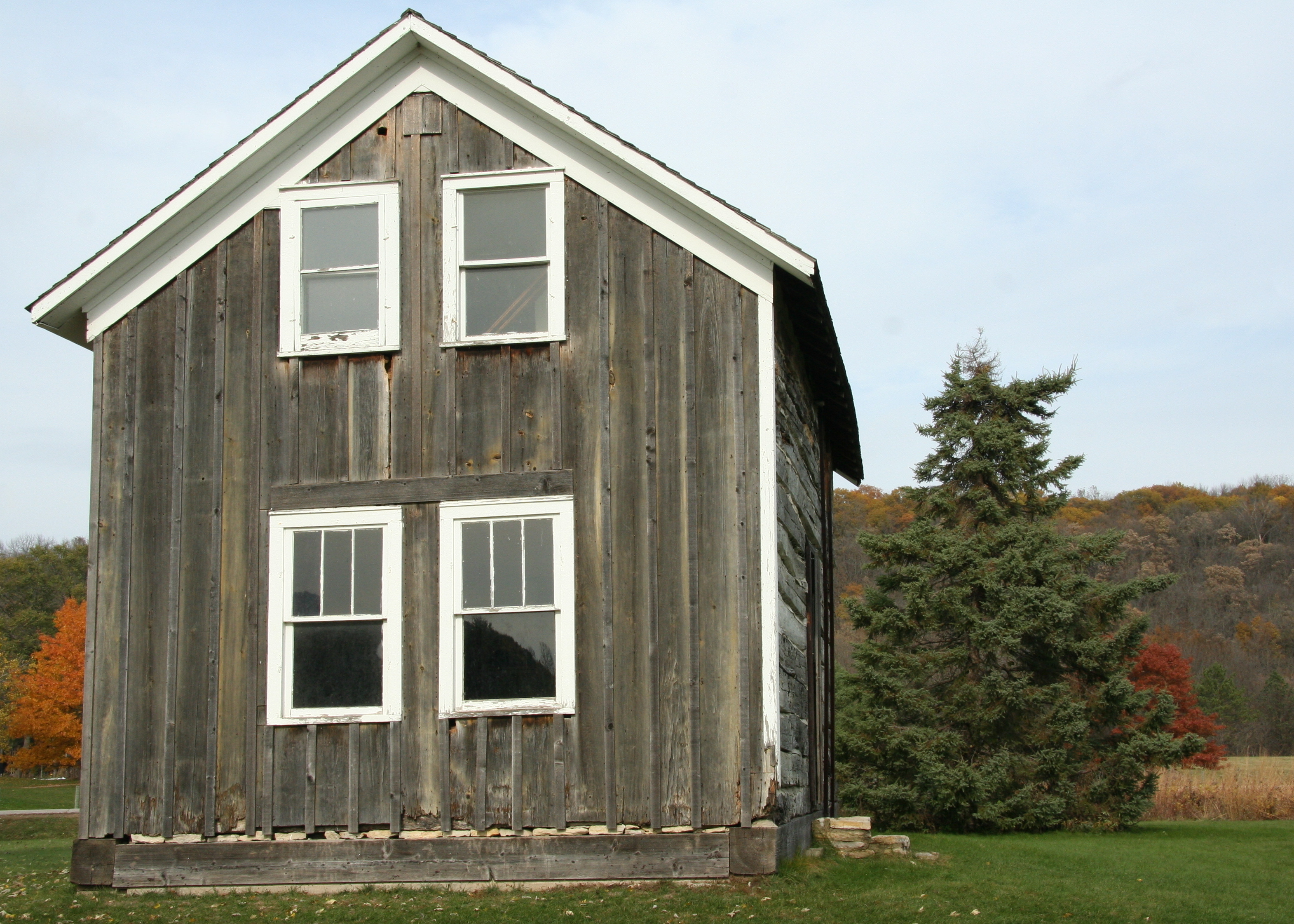
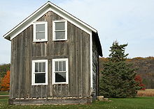 The Helleckson Homestead, built about 1850, preserved in Olmsted County Oxbow Park.
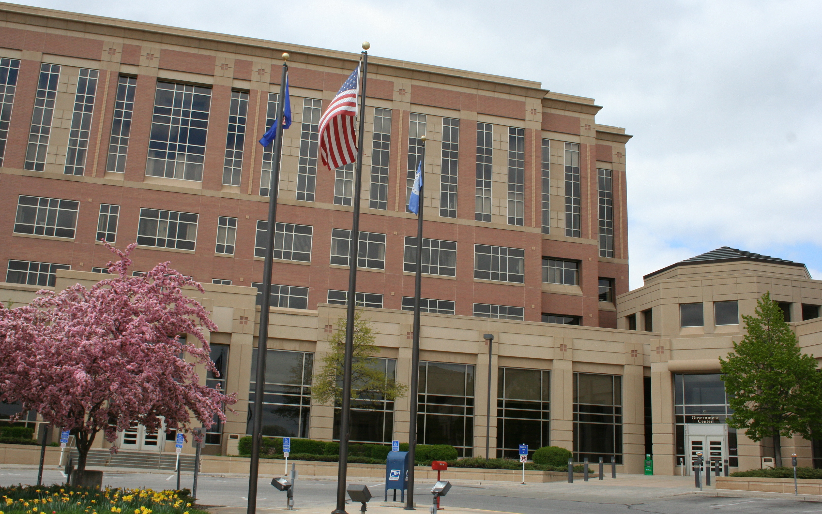
 Olmsted County Government Center.
Cities Townships Unincorporated - Chester
- Danesville
- Douglas
- Genoa
- Pleasant Grove
- Post Town
- Potsdam
- Ringe
- Salem Corners
- Shanty Town
- Simpson
- Viola
† Chatfield is in both Olmsted and Fillmore County.
‡ Pine Island is mainly in Goodhue County but extends into Olmsted County.See also
References
- ^ "Minnesota Government Series, State Counties". Minnesota House of Representatives. http://www.house.leg.state.mn.us/hinfo/govseries/No33.htm. Retrieved 2008-03-18..
- ^ "2010 Census Redistricting Data (Public Law 94-171) Summary File". American FactFinder. United States Census Bureau. http://factfinder2.census.gov/faces/tableservices/jsf/pages/productview.xhtml?pid=DEC_10_PL_GCTPL2.ST05&prodType=table. Retrieved 25 April 2011.
- ^ "Find a County". National Association of Counties. http://www.naco.org/Counties/Pages/FindACounty.aspx. Retrieved 2011-06-07.
- ^ "Census 2000 U.S. Gazetteer Files: Counties". United States Census. http://www.census.gov/tiger/tms/gazetteer/county2k.txt. Retrieved 2011-02-13.
- ^ "American FactFinder". United States Census Bureau. http://factfinder.census.gov. Retrieved 2008-01-31.
External links

Goodhue County Wabasha County Dodge County 
Winona County  Olmsted County, Minnesota

Mower County Fillmore County Municipalities and communities of Olmsted County, Minnesota Cities Byron | Chatfield‡ | Dover | Eyota | Oronoco | Pine Island‡ | Rochester | Stewartville
Townships Unincorporated
communitiesDouglas | Pleasant Grove | Potsdam | Simpson
Footnotes ‡This populated place also has portions in an adjacent county or counties
Categories:- Minnesota counties
- Olmsted County, Minnesota
- Rochester, Minnesota metropolitan area


Wikimedia Foundation. 2010.