- Oronoco, Minnesota
-
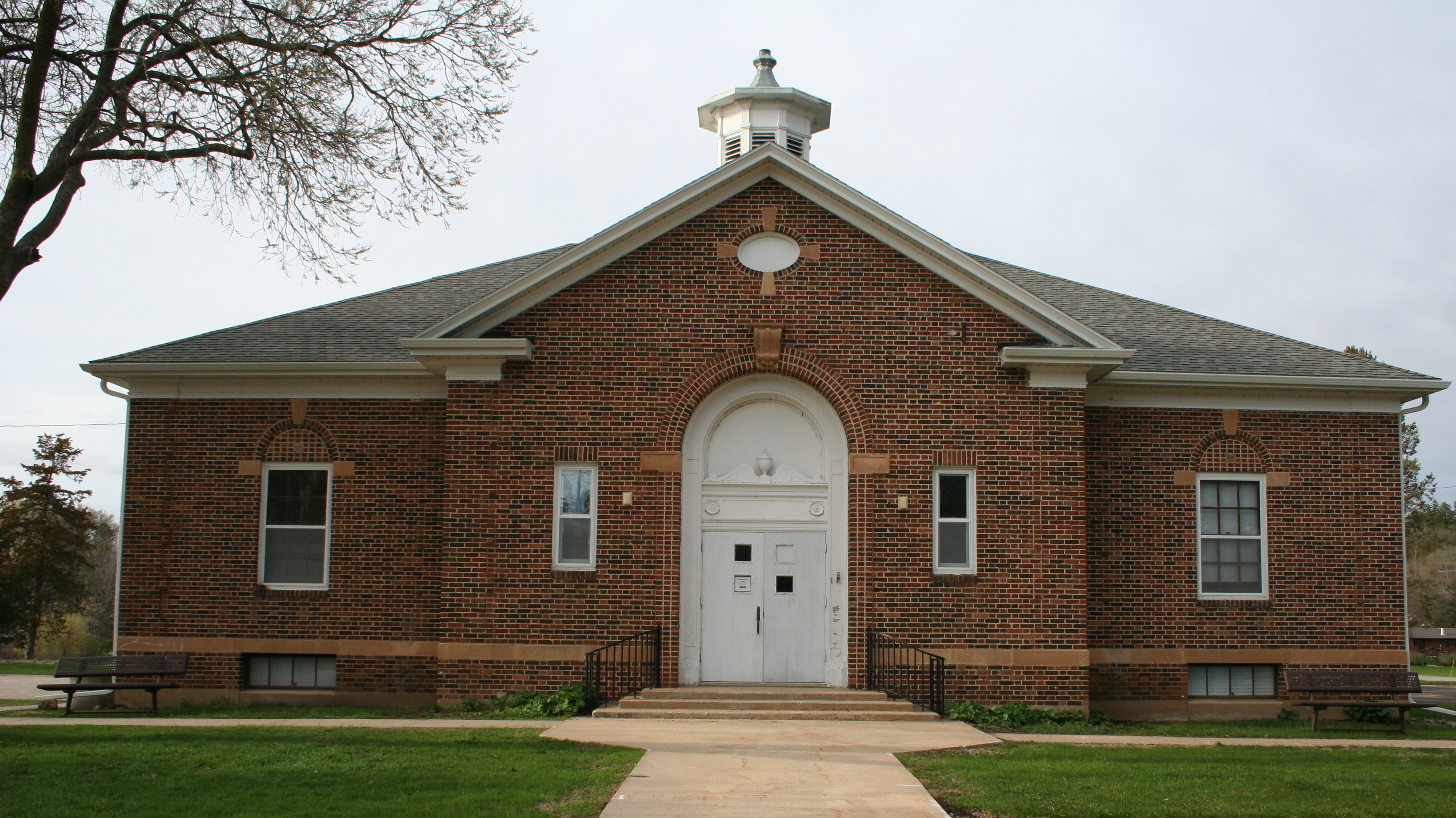
Oronoco, Minnesota — City — Oronoco Town Hall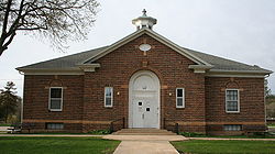 Location of Oronoco, Minnesota
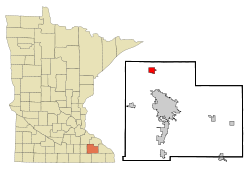
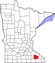
Coordinates: 44°9′41″N 92°32′29″W / 44.16139°N 92.54139°W Country United States State Minnesota County Olmsted Area – Total 2.1 sq mi (5.5 km2) – Land 1.8 sq mi (4.7 km2) – Water 0.3 sq mi (0.8 km2) Elevation 974 ft (297 m) Population (2010)[1] – Total 1,300 – Density 482.8/sq mi (186.4/km2) Time zone Central (CST) (UTC-6) – Summer (DST) CDT (UTC-5) ZIP code 55960 Area code(s) 507 FIPS code 27-48598[2] GNIS feature ID 0649000[3] Oronoco is a city in Olmsted County, Minnesota, United States, along the Middle Fork of the Zumbro River. The population was 1,300 at the 2010 census.[1] The city was named by early settler Dr. Hector Galloway for the similarly spelled Orinoco, a large river in South America. A village was founded in 1854 and platted in 1855. The village incorporated as a city on March 6, 1968. Oronoco Township, which is adjacent on three sides, was organized in 1858.[4] It is a bedroom community for nearby Rochester
Contents
Geography
According to the United States Census Bureau, the city has a total area of 2.1 square miles (5.4 km2), of which, 1.8 square miles (4.7 km2) of it is land and 0.3 square miles (0.78 km2) of it (14.49%) is water.
U.S. Route 52 serves as a main route in the community.
Demographics
Historical populations Census Pop. %± 1970 564 — 1980 574 1.8% 1990 727 26.7% 2000 883 21.5% 2010 1,300 47.2% U.S. Decennial Census As of the census[2] of 2000, there were 883 people, 335 households, and 253 families residing in the city. The population density was 482.8 people per square mile (186.3/km²). There were 343 housing units at an average density of 187.6 per square mile (72.4/km²). The racial makeup of the city was 97.40% White, 0.11% Native American, 1.13% Asian, 0.11% Pacific Islander, 0.11% from other races, and 1.13% from two or more races. Hispanic or Latino of any race were 1.81% of the population.
There were 335 households out of which 33.7% had children under the age of 18 living with them, 65.7% were married couples living together, 6.0% had a female householder with no husband present, and 24.2% were non-families. 18.5% of all households were made up of individuals and 6.3% had someone living alone who was 65 years of age or older. The average household size was 2.64 and the average family size was 3.00.
In the city the population was spread out with 25.9% under the age of 18, 6.3% from 18 to 24, 33.5% from 25 to 44, 25.8% from 45 to 64, and 8.4% who were 65 years of age or older. The median age was 38 years. For every 100 females there were 105.3 males. For every 100 females age 18 and over, there were 105.7 males.
The median income for a household in the city was $67,656, and the median income for a family was $72,396. Males had a median income of $47,153 versus $35,694 for females. The per capita income for the city was $27,965. About 0.8% of families and 2.1% of the population were below the poverty line, including 4.3% of those under age 18 and none of those age 65 or over.
References
- ^ a b "2010 Census Redistricting Data (Public Law 94-171) Summary File". American FactFinder. United States Census Bureau. http://factfinder2.census.gov/faces/tableservices/jsf/pages/productview.xhtml?pid=DEC_10_PL_GCTPL2.ST13&prodType=table. Retrieved 27 April 2011.
- ^ a b "American FactFinder". United States Census Bureau. http://factfinder.census.gov. Retrieved 2008-01-31.
- ^ "US Board on Geographic Names". United States Geological Survey. 2007-10-25. http://geonames.usgs.gov. Retrieved 2008-01-31.
- ^ Upham, Warren (2001) [1979]. Minnesota Place Names (3rd ed. ed.). St. Paul, Minnesota: Minnesota Historical Society. pp. 416. ISBN 0-87351-396-7.
External links
Municipalities and communities of Olmsted County, Minnesota Cities Byron | Chatfield‡ | Dover | Eyota | Oronoco | Pine Island‡ | Rochester | Stewartville
Townships Unincorporated
communitiesDouglas | Pleasant Grove | Potsdam | Simpson
Footnotes ‡This populated place also has portions in an adjacent county or counties
Over 100,000 Incorporated
Places(over 5,000) (under 5,000) Byron · Dodge Center · Plainview · Elgin · Millville · Wabasha · Eyota · Pine Island‡ · Blooming Prairie‡ · Dover · Chatfield‡ · Mazeppa · Minneiska‡ · Hammond · Kellogg · Zumbro Falls · Bellechester‡ · Oronoco · West Concord · ClaremontCounties ‡ indicates that it is partially in the metropolitan area.Categories:- Cities in Minnesota
- Populated places in Olmsted County, Minnesota
- Zumbro River
- Populated places established in 1854
- Rochester, Minnesota metropolitan area


Wikimedia Foundation. 2010.