- Claremont, Minnesota
-
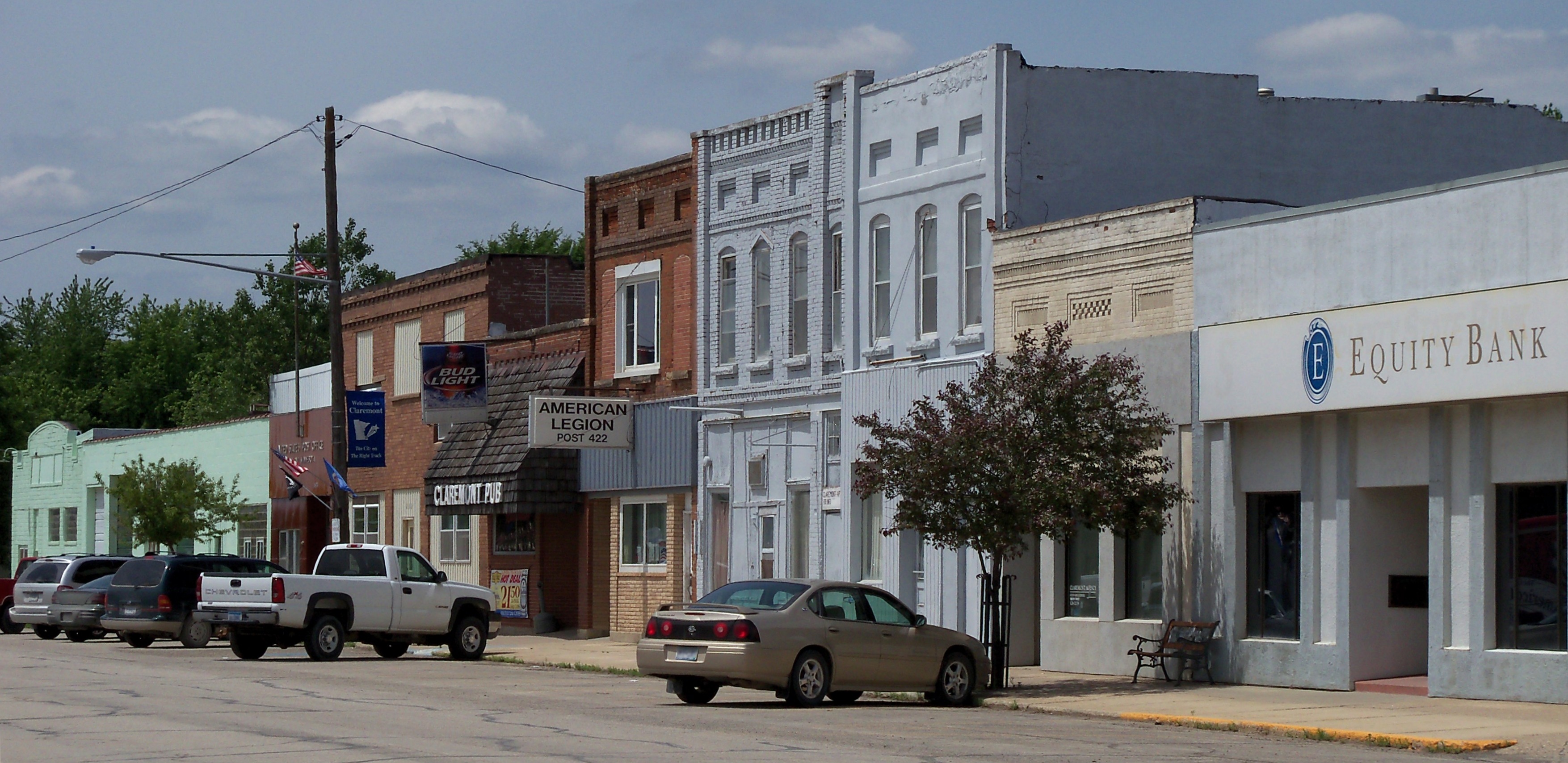
Claremont, Minnesota — City — Buildings in downtown Claremont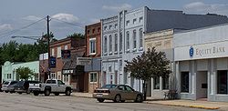 Location of Claremont, Minnesota
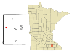
Coordinates: 44°2′41″N 92°59′54″W / 44.04472°N 92.99833°W Country United States State Minnesota County Dodge Area – Total 1.2 sq mi (3.0 km2) – Land 1.2 sq mi (3.0 km2) – Water 0.0 sq mi (0.0 km2) Elevation 1,286 ft (392 m) Population (2010)[1] – Total 548 – Density 537.6/sq mi (207.6/km2) Time zone Central (CST) (UTC-6) – Summer (DST) CDT (UTC-5) ZIP code 55924 Area code(s) 507 FIPS code 27-11566[2] GNIS feature ID 0641239[3] Claremont is a city in Dodge County, Minnesota, United States. The population was 548 at the 2010 census.[1]
Geography
According to the United States Census Bureau, the city has a total area of 1.1 square miles (2.8 km2), all of it land.
Demographics
As of the census[2] of 2000, there were 620 people, 239 households, and 162 families residing in the city. The population density was 537.6 people per square mile (208.2/km²). There were 249 housing units at an average density of 215.9 per square mile (83.6/km²). The racial makeup of the city was 85.00% White, 0.48% Native American, 12.10% from other races, and 2.42% from two or more races. Hispanic or Latino of any race were 16.61% of the population.
There were 239 households out of which 37.2% had children under the age of 18 living with them, 53.1% were married couples living together, 10.9% had a female householder with no husband present, and 32.2% were non-families. 26.4% of all households were made up of individuals and 10.0% had someone living alone who was 65 years of age or older. The average household size was 2.59 and the average family size was 3.12.
In the city the population was spread out with 30.0% under the age of 18, 10.6% from 18 to 24, 30.3% from 25 to 44, 17.3% from 45 to 64, and 11.8% who were 65 years of age or older. The median age was 31 years. For every 100 females there were 111.6 males. For every 100 females age 18 and over, there were 105.7 males.
The median income for a household in the city was $35,987, and the median income for a family was $36,750. Males had a median income of $32,375 versus $20,781 for females. The per capita income for the city was $15,498. About 6.7% of families and 10.5% of the population were below the poverty line, including 10.9% of those under age 18 and 12.2% of those age 65 or over.
References
- ^ a b "2010 Census Redistricting Data (Public Law 94-171) Summary File". American FactFinder. United States Census Bureau. http://factfinder2.census.gov/faces/tableservices/jsf/pages/productview.xhtml?pid=DEC_10_PL_GCTPL2.ST13&prodType=table. Retrieved 27 April 2011.
- ^ a b "American FactFinder". United States Census Bureau. http://factfinder.census.gov. Retrieved 2008-01-31.
- ^ "US Board on Geographic Names". United States Geological Survey. 2007-10-25. http://geonames.usgs.gov. Retrieved 2008-01-31.
Municipalities and communities of Dodge County, Minnesota Cities Blooming Prairie‡ | Claremont | Dodge Center | Hayfield | Kasson | Mantorville | West Concord

Townships Unincorporated
communitiesBerne
Ghost town Rice Lake‡
Footnotes ‡This populated place also has portions in an adjacent county or counties
Coordinates: 44°02′40″N 92°59′52″W / 44.04444°N 92.99778°W
Categories:- Cities in Minnesota
- Populated places in Dodge County, Minnesota
- Rochester, Minnesota metropolitan area


Wikimedia Foundation. 2010.