- Steele County, Minnesota
-
Steele County, Minnesota 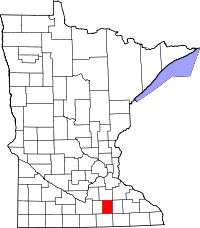
Location in the state of Minnesota
Minnesota's location in the U.S.Founded February 20, 1855 [1] Named for Franklin Steele, a prominent pioneer of Minneapolis. Seat Owatonna Largest city Owatonna Area
- Total
- Land
- Water
432.16 sq mi (1,119 km²)
429.55 sq mi (1,113 km²)
2.62 sq mi (7 km²), 0.61%Population
- (2010)
- Density
36,576
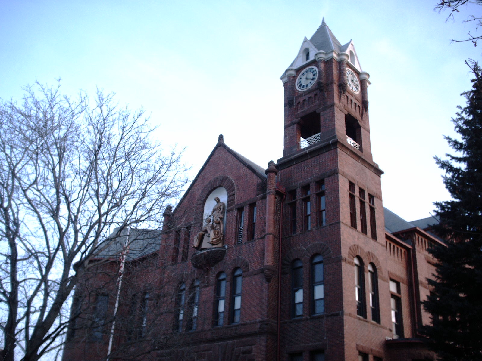
78/sq mi (30/km²)Time zone Central: UTC-6/-5 Website www.co.steele.mn.us Steele County is a county located in the U.S. state of Minnesota. It was named for Franklin Steele, a prominent early resident of the state. As of 2010, the population was 36,576.[1] Its county seat is Owatonna.[2]
Contents
Geography
According to the 2000 census, the county has a total area of 432.16 square miles (1,119.3 km2), of which 429.55 square miles (1,112.5 km2) (or 99.40%) is land and 2.62 square miles (6.8 km2) (or 0.61%) is water.[3] The Straight River flows northwardly through the county, and the Le Sueur River flows through its southwestern corner. The Middle Fork of the Zumbro River has its headwaters in the northeastern part of the county.[4]
Lakes
- Beaver Lake: in Berlin Township
- Fosilen Lake: in Berlin Township
- Lake Kohlmeier: in Owatonna, Owatonna Township
- Lonergan Lake: in Berlin Township
- Oak Glen Lake: in Blooming Prairie Township
- Rice Lake: mostly in Havana Township, but the far eastern edge extends into Dodge County
- Rickert Lake: in Blooming Prairie Township
- Swan Lake: in Deerfield Township
Major highways
 Interstate 35
 U.S. Highway 14
 U.S. Highway 218
 Minnesota State Highway 30
Adjacent counties
- Rice County (north)
- Dodge County (east)
- Mower County (southeast)
- Freeborn County (south)
- Waseca County (west)
Demographics
Historical populations Census Pop. %± 1860 2,863 — 1870 8,271 188.9% 1880 12,400 49.9% 1890 13,232 6.7% 1900 16,524 24.9% 1910 16,146 −2.3% 1920 18,061 11.9% 1930 18,475 2.3% 1940 19,749 6.9% 1950 21,155 7.1% 1960 25,029 18.3% 1970 26,931 7.6% 1980 30,328 12.6% 1990 30,729 1.3% 2000 33,680 9.6% 2010 36,575 8.6% U.S. Decennial Census As of the census[5] of 2000, there were 33,680 people, 12,846 households, and 9,082 families residing in the county. The population density was 78 people per square mile (30/km²). There were 13,306 housing units at an average density of 31 per square mile (12/km²). The racial makeup of the county was 95.19% White, 1.07% Black or African American, 0.10% Native American, 0.85% Asian, 0.02% Pacific Islander, 1.65% from other races, and 1.12% from two or more races. 3.76% of the population were Hispanic or Latino of any race. 38.6% were of German, 18.5% Norwegian, 5.2% Czech and 5.1% Irish ancestry according to Census 2000.
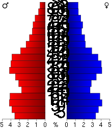 Age pyramid of county residents based on 2000 U.S. census data.
There were 12,846 households out of which 35.50% had children under the age of 18 living with them, 59.50% were married couples living together, 7.40% had a female householder with no husband present, and 29.30% were non-families. 24.60% of all households were made up of individuals and 10.30% had someone living alone who was 65 years of age or older. The average household size was 2.57 and the average family size was 3.08.
In the county the population was spread out with 27.90% under the age of 18, 8.20% from 18 to 24, 29.00% from 25 to 44, 21.60% from 45 to 64, and 13.30% who were 65 years of age or older. The median age was 36 years. For every 100 females there were 97.50 males. For every 100 females age 18 and over, there were 95.00 males.
The median income for a household in the county was $46,106, and the median income for a family was $53,981. Males had a median income of $36,366 versus $25,054 for females. The per capita income for the county was $20,328. About 4.20% of families and 6.20% of the population were below the poverty line, including 7.10% of those under age 18 and 7.10% of those age 65 or over.
Cities and towns
Cities Townships † A small part of Bloomong Prairie extends into Dodge County.
See also
References
- ^ "2010 Census Redistricting Data (Public Law 94-171) Summary File". American FactFinder. United States Census Bureau. http://factfinder2.census.gov/faces/tableservices/jsf/pages/productview.xhtml?pid=DEC_10_PL_GCTPL2.ST05&prodType=table. Retrieved 25 April 2011.
- ^ "Find a County". National Association of Counties. http://www.naco.org/Counties/Pages/FindACounty.aspx. Retrieved 2011-06-07.
- ^ "Census 2000 U.S. Gazetteer Files: Counties". United States Census. http://www.census.gov/tiger/tms/gazetteer/county2k.txt. Retrieved 2011-02-13.
- ^ Minnesota Atlas & Gazetteer. Yarmouth, Me.: DeLorme. 1994. pp. 24, 33. ISBN 0-89933-222-6.
- ^ "American FactFinder". United States Census Bureau. http://factfinder.census.gov. Retrieved 2008-01-31.
External links

Rice County Waseca County 
Dodge County  Steele County, Minnesota

Freeborn County Mower County Municipalities and communities of Steele County, Minnesota Cities Blooming Prairie‡ | Ellendale | Medford | Owatonna
Townships Unincorporated
communitiesHope | Moland‡
Ghost town Rice Lake‡
Footnotes ‡This populated place also has portions in an adjacent county or counties
Categories:- Minnesota counties
- Steele County, Minnesota


Wikimedia Foundation. 2010.