- Yellow Medicine County, Minnesota
-
Yellow Medicine County, Minnesota 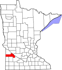
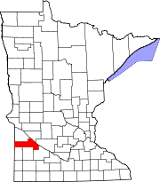
Location in the state of Minnesota
Minnesota's location in the U.S.Founded March 6, 1871 [1] Named for Yellow Medicine River Seat Granite Falls Largest city Granite Falls Area
- Total
- Land
- Water
763.39 sq mi (1,977 km²)
757.96 sq mi (1,963 km²)
5.43 sq mi (14 km²), 0.71%Population
- (2010)
- Density
10,438
15/sq mi (6/km²)Time zone Central: UTC-6/-5 Website yellowmedicine.govoffice.com 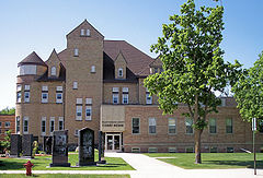 The Yellow Medicine County Courthouse in Granite Falls in 2007
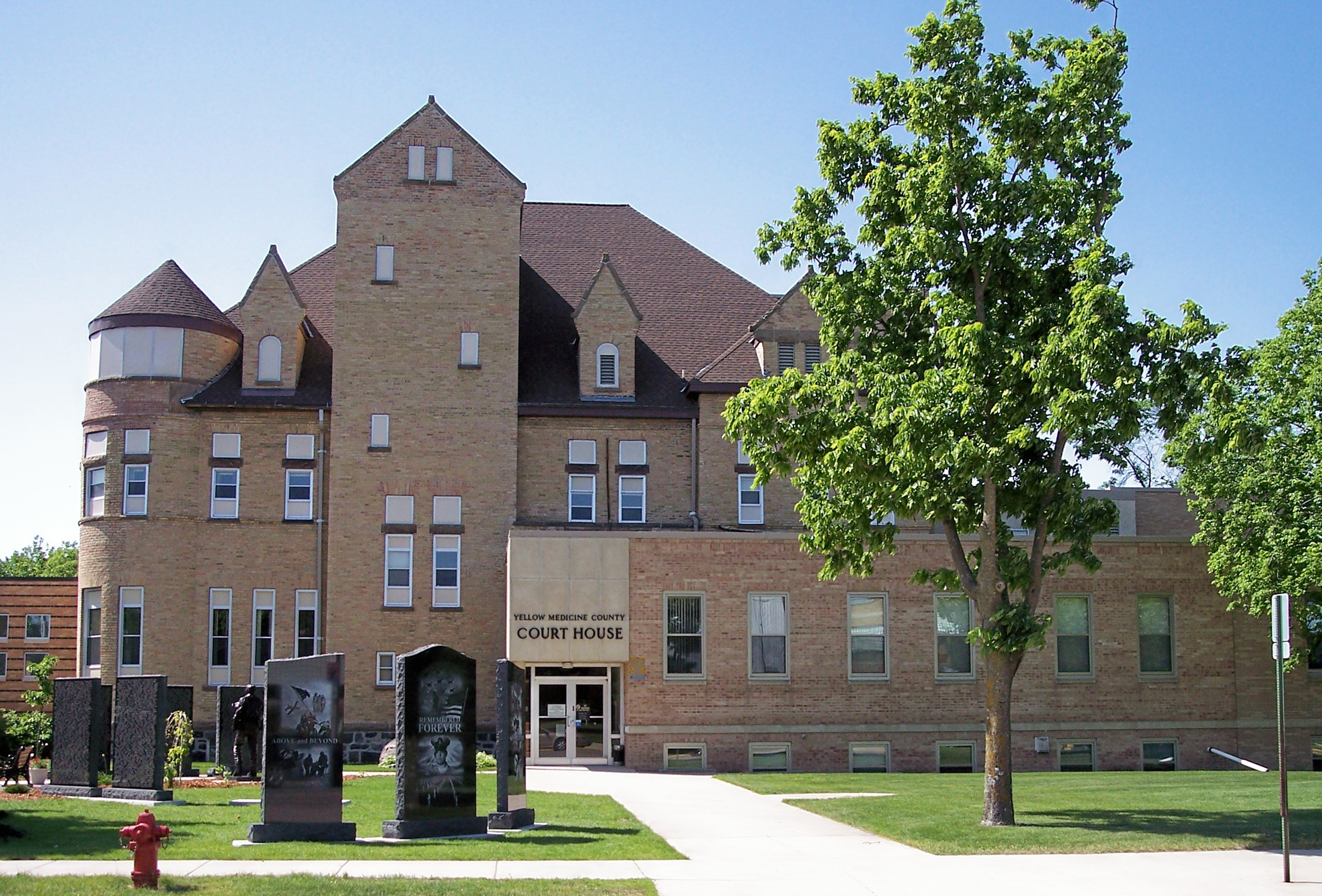
Yellow Medicine County is a county located in the U.S. state of Minnesota. As of 2010, the population was 10,438.[1] Its county seat is Granite Falls[2]. The Upper Sioux Indian Reservation is entirely within the county.
The county name is based on an Indian name for the bitter root of the Moonseed plant, which they used for medicinal purposes.[3]
Contents
Geography
According to the 2000 census, the county has a total area of 763.39 square miles (1,977.2 km2), of which 757.96 square miles (1,963.1 km2) (or 99.29%) is land and 5.43 square miles (14.1 km2) (or 0.71%) is water.[4]
Lakes
- Burton Lake: in Burton Township
- Culver Lake: eastern third is in Fortier Township; the rest is in South Dakota
- Curtis Lake: in Echo Township
- Highbank Lake: in Sioux Agency Township
- Kvistid Lake: in Sioux Agency Township
- Lake Louie: in Friendship Township
- Lone Tree Lake: in Sioux Agency Township
- Miedd Lake: in Normania Township
- Miller Lake: in Omro Township
- Mud Lake: in Wood Lake Township
- Spellman Lake: in Normania Township
- Timm Lake: in Posen Township
- Tyson Lake: in Posen Township
- Wood Lake: in Wood Lake Township
Rivers
Major highways
 U.S. Highway 59
 U.S. Highway 75
 U.S. Highway 212
 Minnesota State Highway 23
Adjacent counties
- Lac qui Parle County (north)
- Chippewa County (northeast)
- Renville County (east)
- Redwood County (southeast)
- Lyon County (south)
- Lincoln County (southwest)
- Deuel County, South Dakota (west)
Demographics
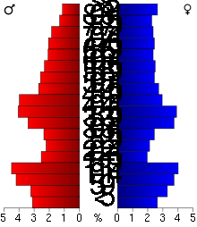 Age pyramid of county residents based on 2000 U.S. census data.
Historical populations Census Pop. %± 1880 5,884 — 1890 9,854 67.5% 1900 14,602 48.2% 1910 15,406 5.5% 1920 16,550 7.4% 1930 16,625 0.5% 1940 16,917 1.8% 1950 16,279 −3.8% 1960 15,523 −4.6% 1970 14,418 −7.1% 1980 13,653 −5.3% 1990 11,684 −14.4% 2000 11,080 −5.2% 2010 10,438 −5.8% U.S. Decennial Census As of the census[5] of 2000, there were 11,080 people, 4,439 households, and 2,974 families residing in the county. The population density was 15 people per square mile (6/km²). There were 4,873 housing units at an average density of 6 per square mile (2/km²). The racial makeup of the county was 96.09% White, 0.11% Black or African American, 2.04% Native American, 0.17% Asian, 0.01% Pacific Islander, 0.92% from other races, and 0.66% from two or more races. 1.76% of the population were Hispanic or Latino of any race. 36.5% were of Norwegian and 34.6% German ancestry according to Census 2000.
There were 4,439 households out of which 30.30% had children under the age of 18 living with them, 58.60% were married couples living together, 5.70% had a female householder with no husband present, and 33.00% were non-families. 29.30% of all households were made up of individuals and 15.20% had someone living alone who was 65 years of age or older. The average household size was 2.42 and the average family size was 3.01.
In the county the population was spread out with 25.80% under the age of 18, 7.40% from 18 to 24, 24.20% from 25 to 44, 22.20% from 45 to 64, and 20.50% who were 65 years of age or older. The median age was 40 years. For every 100 females there were 98.20 males. For every 100 females age 18 and over, there were 94.90 males.
The median income for a household in the county was $34,393, and the median income for a family was $42,002. Males had a median income of $27,770 versus $20,870 for females. The per capita income for the county was $17,120. About 7.10% of families and 10.40% of the population were below the poverty line, including 10.40% of those under age 18 and 10.60% of those age 65 or over.
Cities and towns
Cities Townships † A small part of Granite Falls extends into Chippewa County.
See also
References
- ^ "2010 Census Redistricting Data (Public Law 94-171) Summary File". American FactFinder. United States Census Bureau. http://factfinder2.census.gov/faces/tableservices/jsf/pages/productview.xhtml?pid=DEC_10_PL_GCTPL2.ST05&prodType=table. Retrieved 25 April 2011.
- ^ "Find a County". National Association of Counties. http://www.naco.org/Counties/Pages/FindACounty.aspx. Retrieved 2011-06-07.
- ^ History of Yellow Medicine County, Yellow Medicine County website, accessed May 25, 2010
- ^ "Census 2000 U.S. Gazetteer Files: Counties". United States Census. http://www.census.gov/tiger/tms/gazetteer/county2k.txt. Retrieved 2011-02-13.
- ^ "American FactFinder". United States Census Bureau. http://factfinder.census.gov. Retrieved 2008-01-31.
External links
- Yellow Medicine County. GovOffice.com
- Yellow Medicine County. RootsWeb.com
- Yellow Medicine County Quick Facts. U.S. Census Bureau

Lac qui Parle County Chippewa County Deuel County, South Dakota 
Renville County  Yellow Medicine County, Minnesota

Lincoln County Lyon County Redwood County Municipalities and communities of Yellow Medicine County, Minnesota County seat: Granite Falls Cities Canby | Clarkfield | Echo | Granite Falls‡ | Hanley Falls | Hazel Run | Porter | St. Leo | Wood Lake
Townships Indian
reservationFootnotes ‡This populated place also has portions in an adjacent county or counties
Categories:- Minnesota counties
- Yellow Medicine County, Minnesota


Wikimedia Foundation. 2010.