- Cimarron County, Oklahoma
-
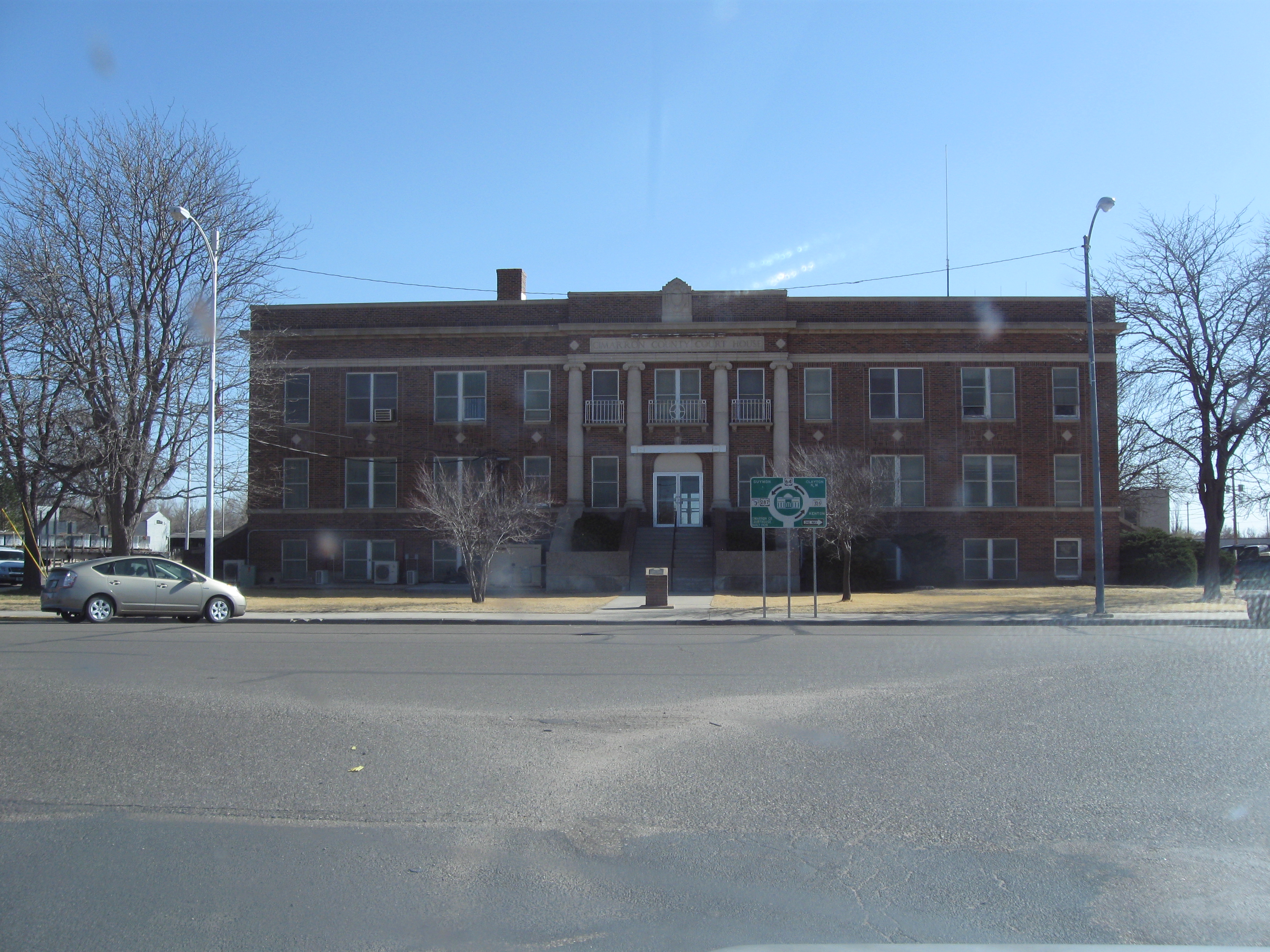
Cimarron County, Oklahoma 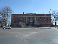 Cimarron Courthouse in Boise City
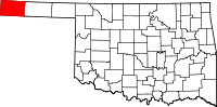
Location in the state of Oklahoma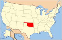
Oklahoma's location in the U.S.Founded 1907 Seat Boise City Area
- Total
- Land
- Water
1,841 sq mi (4,768 km²)
1,835 sq mi (4,753 km²)
6 sq mi (16 km²), 0.33%Population
- (2010)
- Density
2,475
1/sq mi (.4/km²)Congressional district 3rd Website www.ccccok.org 
Cimarron County is a county located in the U.S. state of Oklahoma. Throughout most of its history it has had the smallest population and the lowest population density of any county in Oklahoma. As of 2010 census, the population was 2,475.[1] Its county seat is Boise City.[2]
Contents
Geography
Cimarron County is the only county in the United States that borders four states: Colorado, Kansas, New Mexico, and Texas. As a result, Cimarron County is the only county in the United States to border at least five counties from five different states (one from each of the four aforementioned states, plus one in Oklahoma and a second county in Texas). According to the United States Census Bureau, the county has a total area of 1,841 square miles (4,768 km2), of which 1,835 square miles (4,753 km2) is land and 6 square miles (16 km2) (0.33%) is water. It also has Oklahoma's highest point at 4,973 feet (1,516 m) (AMSL) on the Black Mesa. A location 300 yards east of Rt. 287/385 1.75 miles south of the Cimarron River is the only place in the US less than 27 miles from five different states: 26.99 miles from Kansas, New Mexico, and Texas and seven miles from Colorado. [3]
Major highways

 U.S. Highway 56/U.S. Highway 412
 U.S. Highway 64
 U.S. Highway 287
 U.S. Highway 385
 State Highway 3
Adjacent counties
- Baca County, Colorado (north)
- Morton County, Kansas (northeast)
- Texas County, Oklahoma (east)
- Dallam County, Texas (south)
- Sherman County, Texas (southeast)
- Union County, New Mexico (west)
National protected area
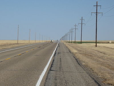 Highway 412 in Cimarron County
Historical populations Census Pop. %± 1910 4,553 — 1920 3,436 −24.5% 1930 5,408 57.4% 1940 3,054 −43.5% 1950 4,589 50.3% 1960 4,496 −2.0% 1970 4,145 −7.8% 1980 3,648 −12.0% 1990 3,301 −9.5% 2000 3,148 −4.6% 2010 2,475 −21.4% part of Beaver County, Oklahoma Territory before 1907 Demographics
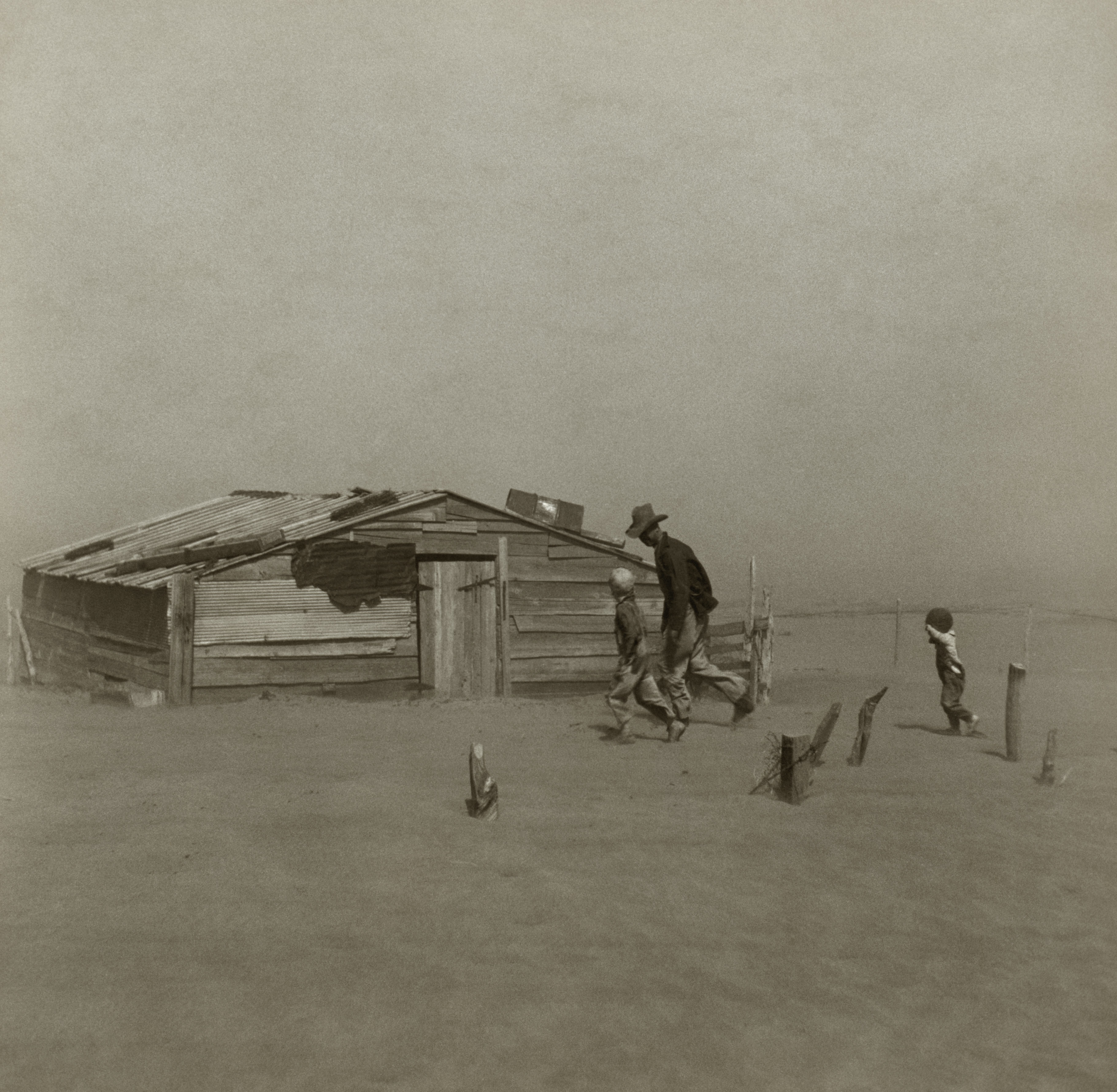
 Farmer and two sons during a dust storm in Cimarron County, 1936
As of the census[4] of 2000, there were 3,148 people, 1,257 households, and 868 families residing in the county. The population density was 2 people per square mile (1/km²). There were 1,583 housing units at an average density of 1 per square mile (0/km²). The racial makeup of the county was 85.77% White, 0.57% Black or African American, 1.02% Native American, 0.16% Asian, 9.94% from other races, and 2.54% from two or more races. 15.41% of the population were Hispanic or Latino of any race.
There were 1,257 households out of which 31.30% had children under the age of 18 living with them, 60.40% were married couples living together, 6.00% had a female householder with no husband present, and 30.90% were non-families. 29.30% of all households were made up of individuals and 15.50% had someone living alone who was 65 years of age or older. The average household size was 2.47 and the average family size was 3.07.
In the county, the population was spread out with 27.60% under the age of 18, 6.40% from 18 to 24, 23.40% from 25 to 44, 24.00% from 45 to 64, and 18.60% who were 65 years of age or older. The median age was 39 years. For every 100 females there were 97.40 males. For every 100 females age 18 and over, there were 95.30 males.
The median income for a household in the county was $30,625, and the median income for a family was $36,250. Males had a median income of $24,327 versus $18,110 for females. The per capita income for the county was $15,744. About 13.90% of families and 17.60% of the population were below the poverty line, including 22.20% of those under age 18 and 10.10% of those age 65 or over.
Communities
City
Town
Unincorporated communities
See also
References
- ^ 2010 Census Data U.S. Census Bureau, accessed 5 Apr 2011
- ^ "Find a County". National Association of Counties. http://www.naco.org/Counties/Pages/FindACounty.aspx. Retrieved 2011-06-07.
- ^ From United States Geological Survey sources, an area one mile southwest of Goshen, MA is 27.3 miles from five different states, second to this Cimarron County location.
- ^ "American FactFinder". United States Census Bureau. http://factfinder.census.gov. Retrieved 2008-01-31.
Further reading
- Egan, Timothy (2006). The Worst Hard Time: The Untold Story of Those Who Survived the Great American Dust Bowl. Boston: Mariner Books. ISBN 061834697X. OCLC 58788898., includes much about the history of Cimarron County in the 20th century.
External links
- NASA Earth Obseratory article about Cimarron County
- Encyclopedia of Oklahoma History and Culture - Cimarron County

Baca County, Colorado Morton County, Kansas Union County, New Mexico 
Texas County  Cimarron County, Oklahoma

Dallam County, Texas Sherman County, Texas Municipalities and communities of Cimarron County, Oklahoma County seat: Boise City City 
Town Unincorporated
communitiesCategories:- Oklahoma counties
- Cimarron County, Oklahoma
- 1907 establishments in the United States
- Populated places established in 1907


Wikimedia Foundation. 2010.