- Musselshell County, Montana
-
Musselshell County, Montana 
Location in the state of Montana
Montana's location in the U.S.Founded information needed Seat Roundup Largest city Roundup Area
- Total
- Land
- Water
1,871 sq mi (4,846 km²)
1,867 sq mi (4,836 km²)
4 sq mi (10 km²), 0.20%Population
- (2010)
- Density
4,538
3/sq mi (1/km²)Musselshell County is a county located in the U.S. state of Montana. As of 2010, the population was at 4,538[1]. Its county seat is Roundup[2].
Contents
Geography
According to the U.S. Census Bureau, the county has a total area of 1,871 square miles (4,850 km2), of which, 1,867 square miles (4,840 km2) of it is land and 4 square miles (10 km2) of it is water. The total area is 0.20% water.
Major highways
 U.S. Highway 12
 U.S. Highway 87
Adjacent counties
- Fergus County, Montana - northwest
- Petroleum County, Montana - north
- Rosebud County, Montana - east
- Yellowstone County, Montana - south
- Golden Valley County, Montana - west

Fergus County Petroleum County Golden Valley County 
Rosebud County  Musselshell County, Montana

Yellowstone County National protected area
Demographics
Historical populations Census Pop. %± 1920 12,030 — 1930 7,242 −39.8% 1940 5,717 −21.1% 1950 5,408 −5.4% 1960 4,888 −9.6% 1970 3,734 −23.6% 1980 4,428 18.6% 1990 4,106 −7.3% 2000 4,497 9.5% 2010 4,538 0.9% As of the census[3] of 2000, there are 4,497 people, 1,878 households, and 1,235 families residing in the county. The population density is 2 people per square mile (1/km²). There are 2,317 housing units at an average density of <1/km² (1/sq mi). The racial makeup of the county is 96.91% White, 0.07% Black or African American, 1.27% Native American, 0.16% Asian, 0.04% Pacific Islander, 0.38% from other races, and 1.18% from two or more races. 1.60% of the population are Hispanic or Latino of any race. 26.6% were of German, 14.8% English, 8.4% Norwegian, 8.1% Irish and 7.4% American ancestry according to Census 2000. 96.5% spoke English and 2.6% German as their first language.
There are 1,878 households out of which 27.20% have children under the age of 18 living with them, 55.60% are married couples living together, 6.60% have a female householder with no husband present, and 34.20% are non-families. 30.10% of all households are made up of individuals and 13.80% have someone living alone who is 65 years of age or older. The average household size is 2.33, and the average family size is 2.91.
In the county the population is spread out with 23.40% under the age of 18, 5.70% from 18 to 24, 24.00% from 25 to 44, 29.40% from 45 to 64, and 17.50% who are 65 years of age or older. The median age is 43 years. For every 100 females there are 95.40 males. For every 100 females age 18 and over, there are 95.70 males.
The median income for a household in the county is $25,527, and the median income for a family is $32,298. Males have a median income of $25,000 versus $17,813 for females. The per capita income for the county is $15,389. 19.90% of the population and 13.00% of families are below the poverty line. Out of the total population, 31.70% of those under the age of 18 and 10.50% of those 65 and older are living below the poverty line.
Communities
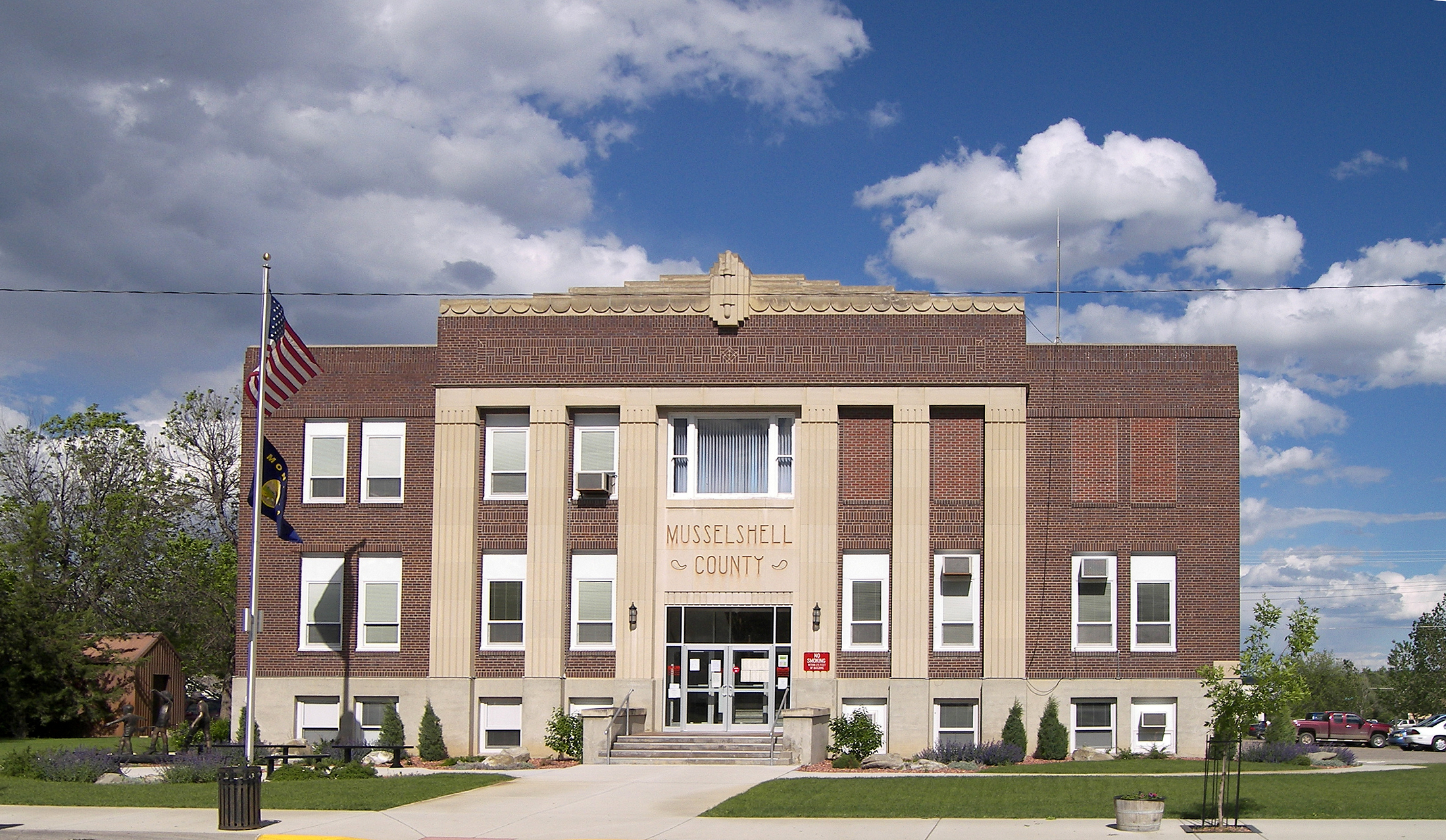
 The Musselshell County Courthouse in Roundup
City
Town
Census-designated places
See also
- List of cemeteries in Musselshell County, Montana
- List of lakes in Musselshell County, Montana
- List of mountains in Musselshell County, Montana
References
- ^ US Census Fact Finder
- ^ "Find a County". National Association of Counties. http://www.naco.org/Counties/Pages/FindACounty.aspx. Retrieved 2011-06-07.
- ^ "American FactFinder". United States Census Bureau. http://factfinder.census.gov. Retrieved 2008-01-31.
Municipalities and communities of Musselshell County, Montana City 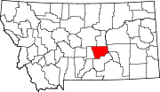
Town CDPs  State of Montana
Topics - Index
- History
- Governors
- People
- Geography
- State Government
- Delegations
- Visitor Attractions
Society - Crime
- Demographics
- Economy
- Education
- Politics
Regions - The Flathead
- Glacier National Park
- Regional designations of Montana
- Western Montana
- Yellowstone
Largest cities Counties - Beaverhead
- Big Horn
- Blaine
- Broadwater
- Carbon
- Carter
- Cascade
- Chouteau
- Custer
- Daniels
- Dawson
- Deer Lodge
- Fallon
- Fergus
- Flathead
- Gallatin
- Garfield
- Glacier
- Golden Valley
- Granite
- Hill
- Jefferson
- Judith Basin
- Lake
- Lewis and Clark
- Liberty
- Lincoln
- Madison
- McCone
- Meagher
- Mineral
- Missoula
- Musselshell
- Park
- Petroleum
- Phillips
- Pondera
- Powder River
- Powell
- Prairie
- Ravalli
- Richland
- Roosevelt
- Rosebud
- Sanders
- Sheridan
- Silver Bow
- Stillwater
- Sweet Grass
- Teton
- Toole
- Treasure
- Valley
- Wheatland
- Wibaux
- Yellowstone
Categories:- Montana counties
- Musselshell County, Montana


Wikimedia Foundation. 2010.