- National Register of Historic Places listings in Cleveland County, North Carolina
-

This list includes properties and districts listed on the National Register of Historic Places in Cleveland County, North Carolina. Click the "Map of all coordinates" link to the right to view a Google map of all properties and districts with latitude and longitude coordinates in the table below.[1]
-
- This National Park Service list is complete through NPS recent listings posted November 10, 2011.[2]
[3] Landmark name[4] Image Date listed Location City or Town Summary 1 Banker's House May 6, 1975 319 N. Lafayette St.
35°17′44″N 81°32′22″W / 35.29556°N 81.53944°WShelby 2 Joshua Beam House June 4, 1980 NE of Shelby
35°20′47″N 81°29′10″W / 35.34639°N 81.48611°WShelby 3 Central School Historic District May 18, 2001 Roughly N. Battleground Ave., N. Piedmont Ave., E. King St., E. Ridge Ave., and N. Gaston St.
35°14′34″N 81°20′34″W / 35.24278°N 81.34278°WKings Mountain 4 Central Shelby Historic District June 23, 1983 Roughly Washington St. from Gidney to Sumter, Graham and Warren Sts. to Morgan, and Marion St. from Washington St. to Thompson; also roughly bounded by E. Elm, S. Lafayette, Blanton, N. Thompson, W. Sumter, N. Lafayette, Kendal, and S. Dekalb Sts.
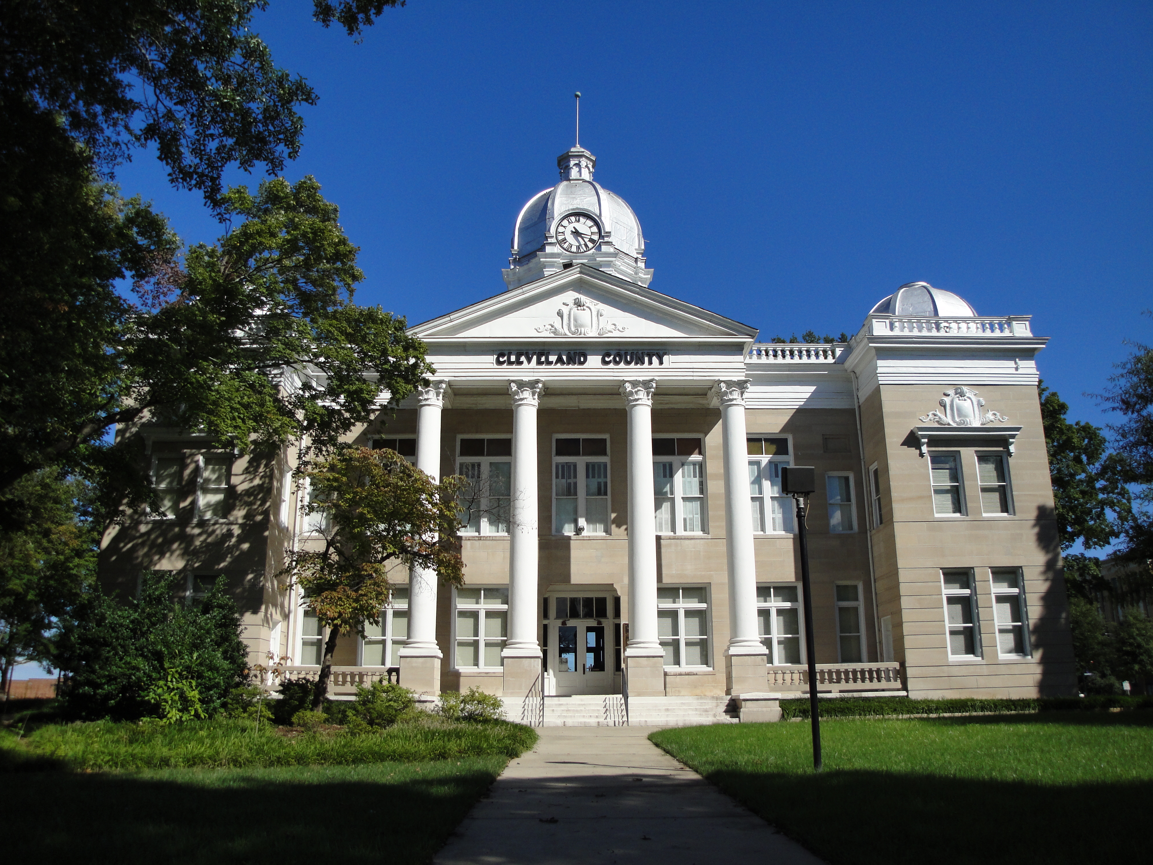
35°17′17″N 81°32′33″W / 35.28806°N 81.5425°WShelby Second set of boundaries represents a boundary increase of September 14, 2002 5 Old Cleveland County Courthouse 
May 10, 1979 Marion, Washington, Warren, and Lafayette Sts.
35°17′29″N 81°32′22″W / 35.29139°N 81.53944°WShelby 6 Double Shoals Cotton Mill March 24, 2009 199 Old Mill Rd.
35°22′50.73″N 81°32′42.75″W / 35.3807583°N 81.5452083°WDouble Shoals 7 East Marion-Belvedere Park Historic District December 31, 2002 Roughly bounded by Cline, Chestnut, E. Marion Sts., Edgemont Ave, Belvedere Aves., and Elizabeth Rd.
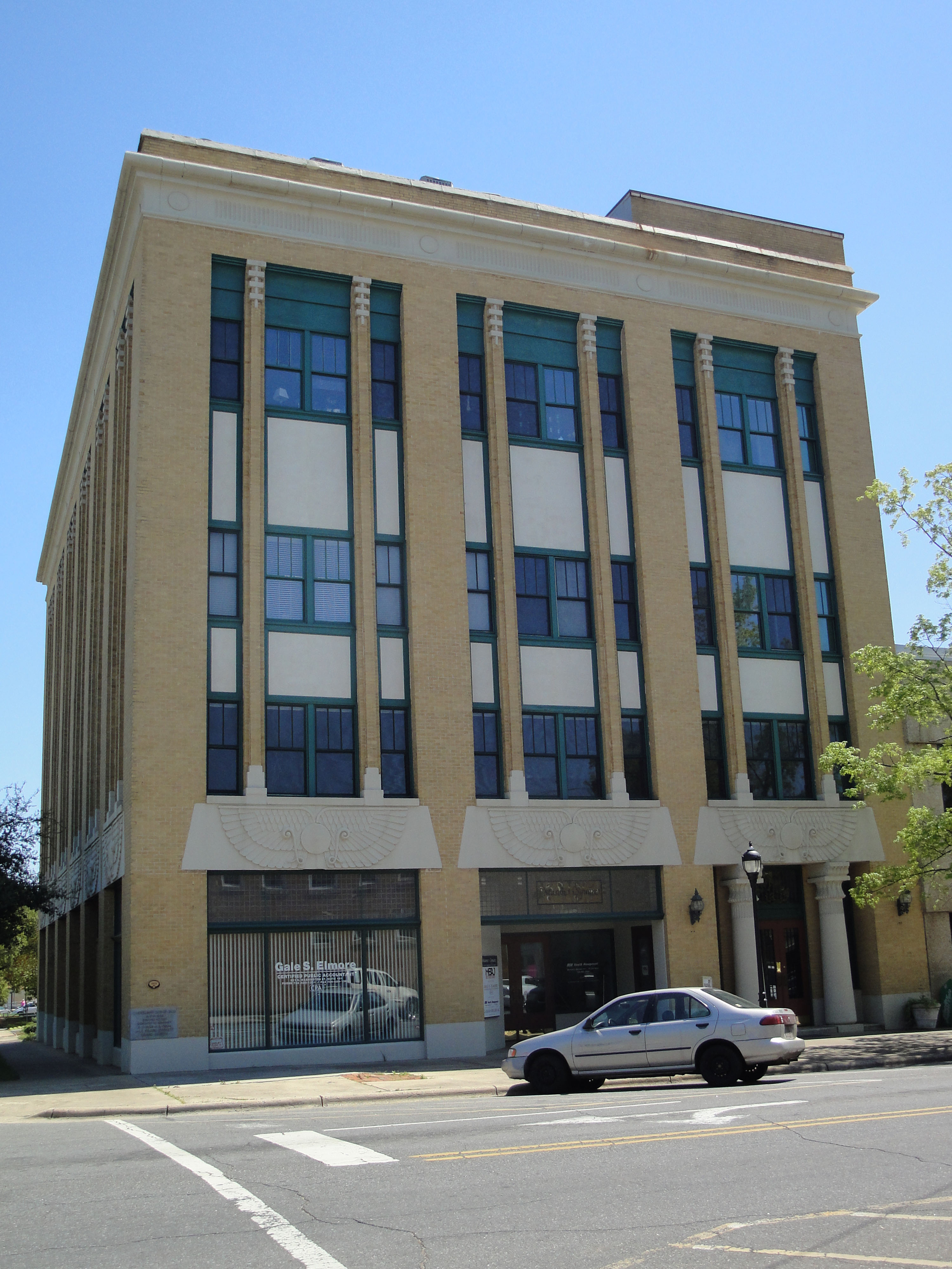
35°17′36″N 81°31′36″W / 35.29333°N 81.52667°WShelby 8 E. B. Hamrick Hall July 12, 1982 Gardner-Webb College campus
35°14′58″N 81°40′5″W / 35.24944°N 81.66806°WBoiling Springs 9 James Heyward Hull House May 1, 2003 710 N. Lafayette St.
35°18′1″N 81°32′22″W / 35.30028°N 81.53944°WShelby 10 Irvin-Hamrick Log House May 28, 1980 NW of Boiling Springs on SR 1153
35°16′35″N 81°37′33″W / 35.27639°N 81.62583°WBoiling Springs 11 King Street Overhead Bridge April 6, 2005 King St. Bet. Battleground and Railroad Aves.
35°14′27″N 81°20′41″W / 35.24083°N 81.34472°WKings Mountain 12 John Lattimore House August 26, 1982 NW of Polkville on SR 1372
35°26′35″N 81°39′57″W / 35.44306°N 81.66583°WPolkville 13 Margrace Mill Village Historic District May 6, 2009 101-117, 102-120 Cloninger St., 101-113, 102-116, 200 Fulton Dr., 145 Ark St., 101-107, 102-114 Water Oak St.
35°13′28.68″N 81°21′44.04″W / 35.2246333°N 81.3622333°WKings Mountain 14 Masonic Temple Building 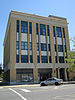
July 15, 1982 203 S. Washington St.
35°16′54″N 81°32′18″W / 35.28167°N 81.53833°WShelby 15 Dr. Victor McBrayer House May 31, 1979 507 N. Morgan St.
35°17′39″N 81°32′30″W / 35.29417°N 81.54167°WShelby 16 Southern Railway Company Overhead Bridge April 19, 2007 Spanning the double tracks on the Norfolk Southern RR bet. Battleground and Railroad Aves., 1/2 blk N of King St.
35°14′29″N 81°20′41″W / 35.24139°N 81.34472°WKings Mountain 17 George Sperling House and Outbuildings December 31, 2001 1219 Fallston Rd.
35°18′53″N 81°31′22″W / 35.31472°N 81.52278°WShelby 18 Joseph Suttle House July 17, 1980 SW of Shelby
35°15′55″N 81°35′9″W / 35.26528°N 81.58583°WShelby 19 Webbley September 29, 1980 403 S. Washington St.
35°17′14″N 81°32′20″W / 35.28722°N 81.53889°WShelby 20 West End Historic District September 3, 2010 Bounded by W. Mountain St., W. Gold St., S. Cansler St., S. Tracy St., S. Watterson St., and S. Goforth St.
35°14′19″N 81°21′0″W / 35.23861°N 81.35°WKings Mountain 21 West Warren Street Historic District May 12, 2009 Roughly bounded by W. Warren, McBrayer, Blanton, and Whisnant Sts.
35°17′27.7″N 81°32′39.89″W / 35.291028°N 81.5444139°WShelby See also
- National Register of Historic Places listings in North Carolina
- List of National Historic Landmarks in North Carolina
References
- ^ The latitude and longitude information provided in this table was derived originally from the National Register Information System, which has been found to be fairly accurate for about 99% of listings. For about 1% of NRIS original coordinates, experience has shown that one or both coordinates are typos or otherwise extremely far off; some corrections may have been made. A more subtle problem causes many locations to be off by up to 150 yards, depending on location in the country: most NRIS coordinates were derived from tracing out latitude and longitudes off of USGS topographical quadrant maps created under North American Datum of 1927, which differs from the current, highly accurate GPS system used by Google maps. Chicago is about right, but NRIS longitudes in Washington are higher by about 4.5 seconds, and are lower by about 2.0 seconds in Maine. Latitudes differ by about 1.0 second in Florida. Some locations in this table may have been corrected to current GPS standards.
- ^ "National Register of Historic Places: Weekly List Actions". National Park Service, United States Department of the Interior. Retrieved on November 10, 2011.
- ^ Numbers represent an ordering by significant words. Various colorings, defined here, differentiate National Historic Landmark sites and National Register of Historic Places Districts from other NRHP buildings, structures, sites or objects.
- ^ "National Register Information System". National Register of Historic Places. National Park Service. 2008-04-24. http://nrhp.focus.nps.gov/natreg/docs/All_Data.html.
U.S. National Register of Historic Places Topics Lists by states Alabama • Alaska • Arizona • Arkansas • California • Colorado • Connecticut • Delaware • Florida • Georgia • Hawaii • Idaho • Illinois • Indiana • Iowa • Kansas • Kentucky • Louisiana • Maine • Maryland • Massachusetts • Michigan • Minnesota • Mississippi • Missouri • Montana • Nebraska • Nevada • New Hampshire • New Jersey • New Mexico • New York • North Carolina • North Dakota • Ohio • Oklahoma • Oregon • Pennsylvania • Rhode Island • South Carolina • South Dakota • Tennessee • Texas • Utah • Vermont • Virginia • Washington • West Virginia • Wisconsin • WyomingLists by territories Lists by associated states Other  Category:National Register of Historic Places •
  Portal:National Register of Historic Places
Municipalities and communities of Cleveland County, North Carolina County seat: Shelby Cities 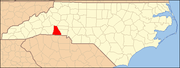
Towns Belwood | Boiling Springs | Casar | Earl | Fallston | Grover | Kingstown | Lattimore | Lawndale | Mooresboro | Patterson Springs | Waco
CDP Unincorporated
communitiesFootnotes ‡This populated place also has portions in an adjacent county or counties
Categories:- Cleveland County, North Carolina
- National Register of Historic Places in North Carolina
- Buildings and structures in Cleveland County, North Carolina
-

Wikimedia Foundation. 2010.