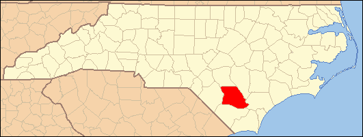
- National Register of Historic Places listings in Bladen County, North Carolina
-
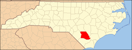
This list includes properties and districts listed on the National Register of Historic Places in Bladen County, North Carolina. Click the "Map of all coordinates" link to the right to view a Google map of all properties and districts with latitude and longitude coordinates in the table below.[1]
-
- This National Park Service list is complete through NPS recent listings posted November 10, 2011.[2]
[3] Landmark name [4] Image Date listed Location City or town Summary 1 Brown Marsh Presbyterian Church September 2, 1975 N of Clarkton on SR 1700 off SR 1762
34°31′33″N 78°38′19″W / 34.525833°N 78.638611°WClarkton 2 Carver's Creek Methodist Church April 30, 2008 16904 NC 87 E.
34°27′19″N 78°24′29″W / 34.455328°N 78.408047°WCouncil 3 John Hector Clark House 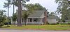
May 20, 1987 SE corner jct. of S. Grove and E. Green Sts.
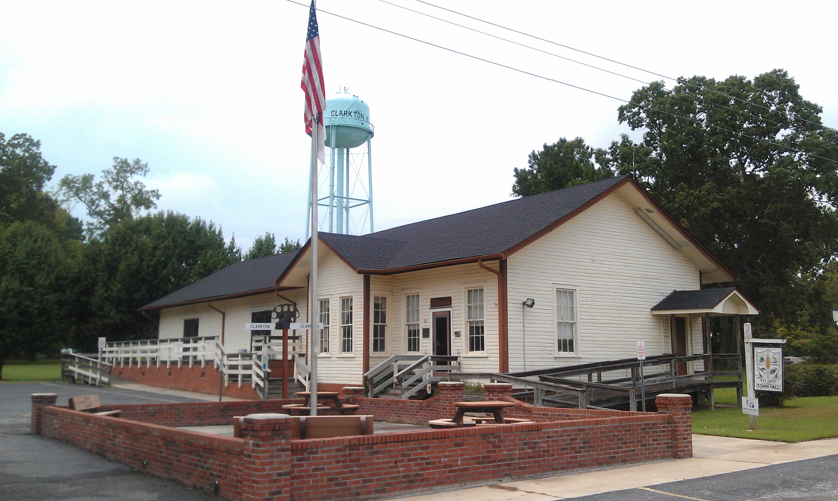
34°29′19″N 78°39′15″W / 34.488611°N 78.654167°WClarkton 4 Clarkton Depot 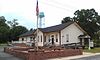
December 23, 1986 Elm and Hester Sts.
34°29′21″N 78°39′29″W / 34.489167°N 78.658056°WClarkton 5 Desserette October 7, 1987 SW side of SR 1320 near jct. with SR 1318
34°47′57″N 78°46′13″W / 34.799167°N 78.770278°WWhite Oak 6 Gilmore-Patterson Farm July 28, 1999 20337 NC 87 W
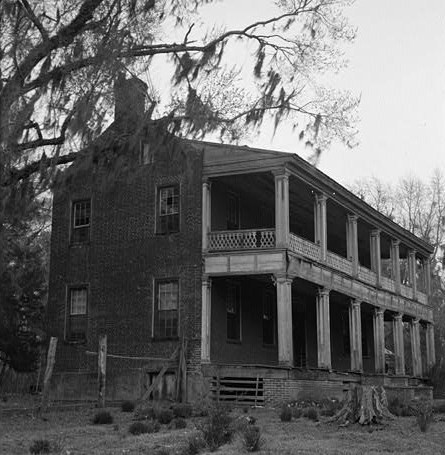
34°48′22″N 78°49′50″W / 34.806233°N 78.830442°WSt. Pauls 7 Harmony Hall March 24, 1972 W of White Oak on SR 1351
34°44′24″N 78°44′21″W / 34.740025°N 78.739081°WWhite Oak 8 Mt. Horeb Presbyterian Church and Cemetery May 13, 1987 SW corner of NC 87 and SR 1712 Jct.
34°30′58″N 78°27′02″W / 34.516111°N 78.450556°WElizabethtown 9 Oakland Plantation 
April 25, 1972 Off SR 1730
34°28′01″N 78°23′58″W / 34.467072°N 78.399522°WCarvers 10 Purdie House and Purdie Methodist Church April 13, 1977 2.8 miles E of Tar Heel
34°42′42″N 78°44′48″W / 34.711667°N 78.746667°WTar Heel 11 South River Presbyterian Church May 23, 1996 NE side of NC 210, 1.7 miles SE of jct. with US 701
34°43′48″N 78°24′03″W / 34.73°N 78.400833°WGarland 12 Trinity Methodist Church September 14, 1989 Broad and Lower Sts.
34°37′41″N 78°36′11″W / 34.628056°N 78.603056°WElizabethtown 13 Walnut Grove May 29, 1975 E of Tar Heel on NC 87
34°43′52″N 78°46′56″W / 34.731103°N 78.782278°WTar Heel See also
- National Register of Historic Places listings in North Carolina
- List of National Historic Landmarks in North Carolina
References
- ^ The latitude and longitude information provided in this table was derived originally from the National Register Information System, which has been found to be fairly accurate for about 99% of listings. For about 1% of NRIS original coordinates, experience has shown that one or both coordinates are typos or otherwise extremely far off; some corrections may have been made. A more subtle problem causes many locations to be off by up to 150 yards, depending on location in the country: most NRIS coordinates were derived from tracing out latitude and longitudes off of USGS topographical quadrant maps created under the North American Datum of 1927, which differs from the current, highly accurate WGS84 GPS system used by Google maps. Chicago is about right, but NRIS longitudes in Washington are higher by about 4.5 seconds, and are lower by about 2.0 seconds in Maine. Latitudes differ by about 1.0 second in Florida. Some locations in this table may have been corrected to current GPS standards.
- ^ "National Register of Historic Places: Weekly List Actions". National Park Service, United States Department of the Interior. Retrieved on November 10, 2011.
- ^ Numbers represent an ordering by significant words. Various colorings, defined here, differentiate National Historic Landmark sites and National Register of Historic Places Districts from other NRHP buildings, structures, sites or objects.
- ^ "National Register Information System". National Register of Historic Places. National Park Service. . http://nrhp.focus.nps.gov/natreg/docs/All_Data.html.
U.S. National Register of Historic Places Topics Lists by states Alabama • Alaska • Arizona • Arkansas • California • Colorado • Connecticut • Delaware • Florida • Georgia • Hawaii • Idaho • Illinois • Indiana • Iowa • Kansas • Kentucky • Louisiana • Maine • Maryland • Massachusetts • Michigan • Minnesota • Mississippi • Missouri • Montana • Nebraska • Nevada • New Hampshire • New Jersey • New Mexico • New York • North Carolina • North Dakota • Ohio • Oklahoma • Oregon • Pennsylvania • Rhode Island • South Carolina • South Dakota • Tennessee • Texas • Utah • Vermont • Virginia • Washington • West Virginia • Wisconsin • WyomingLists by territories Lists by associated states Other Municipalities and communities of Bladen County, North Carolina Towns Bladenboro | Clarkton | Dublin | East Arcadia | Elizabethtown | Tar Heel | White Lake

CDPs Unincorporated
communityAbbottsburg | Ammon | Ammon Ford | Colly Township
Categories:- Bladen County, North Carolina
- National Register of Historic Places in North Carolina
- Buildings and structures in Bladen County, North Carolina
-
Wikimedia Foundation. 2010.