- National Register of Historic Places listings in Nebraska
-
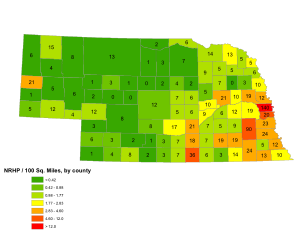
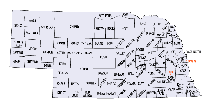
 Nebraska counties (clickable)
List of places in Nebraska on the National Register of Historic Places:
This is a list of 1,017 properties and districts in Nebraska that are on the National Register of Historic Places. Of these, 20 are National Historic Landmarks. There are listings in 89 of the state's 93 counties.
-
- This National Park Service list is complete through NPS recent listings posted November 10, 2011.[1]
Numbers of listings by county
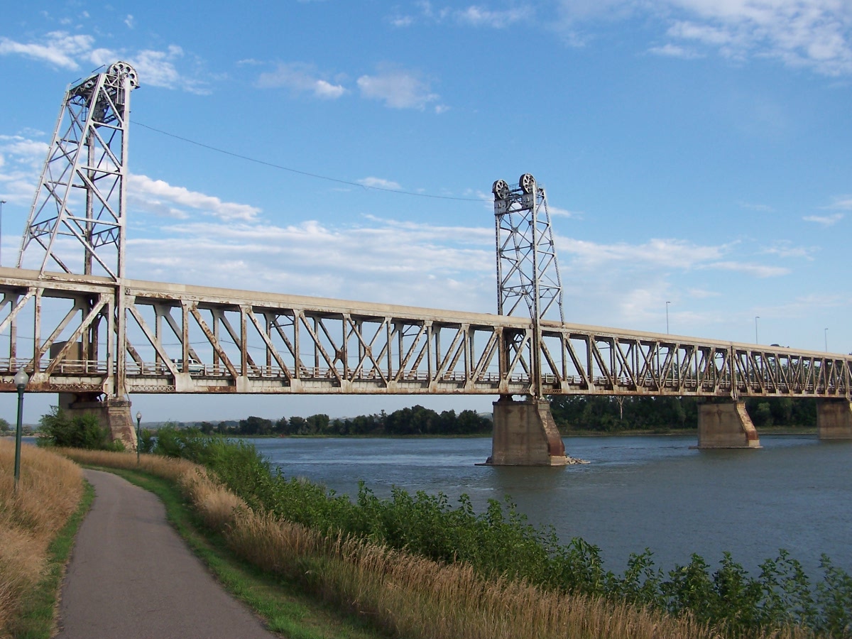
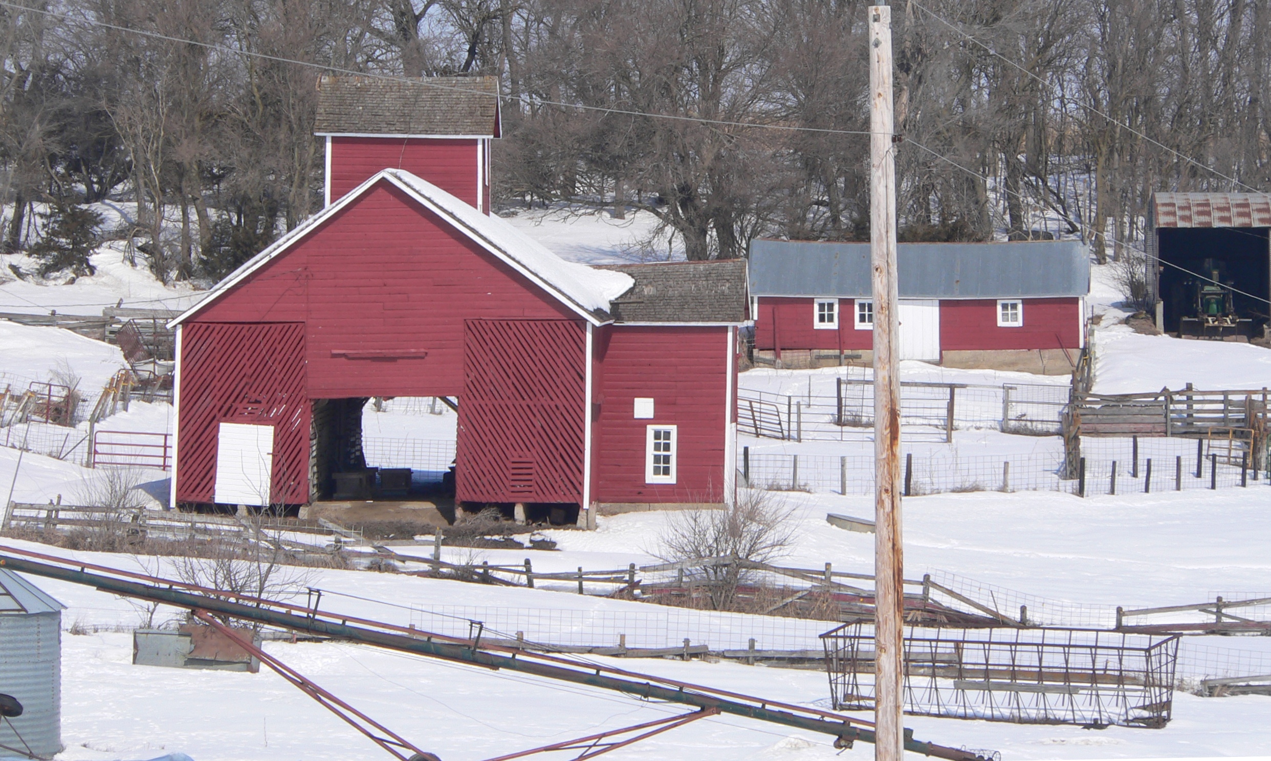
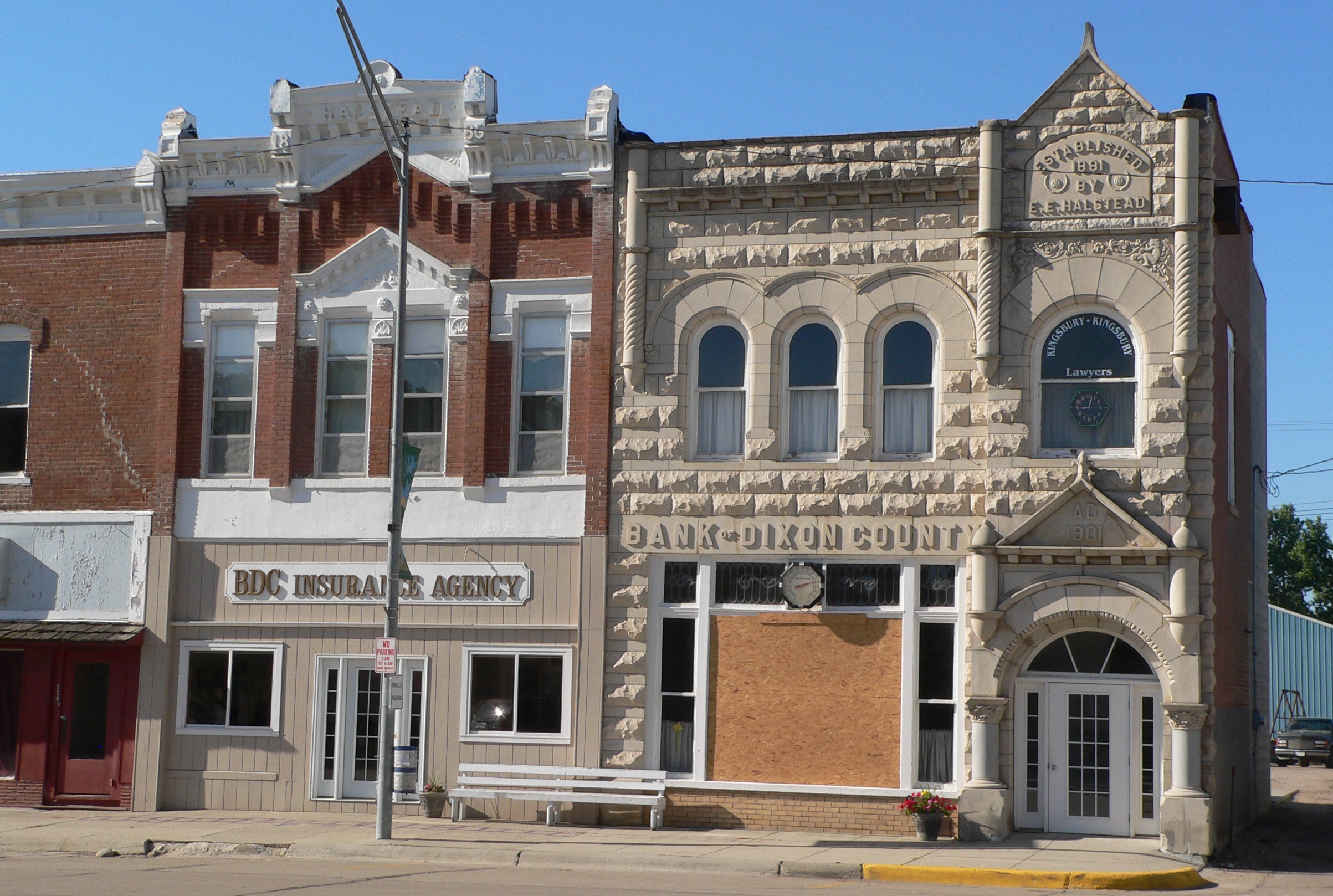
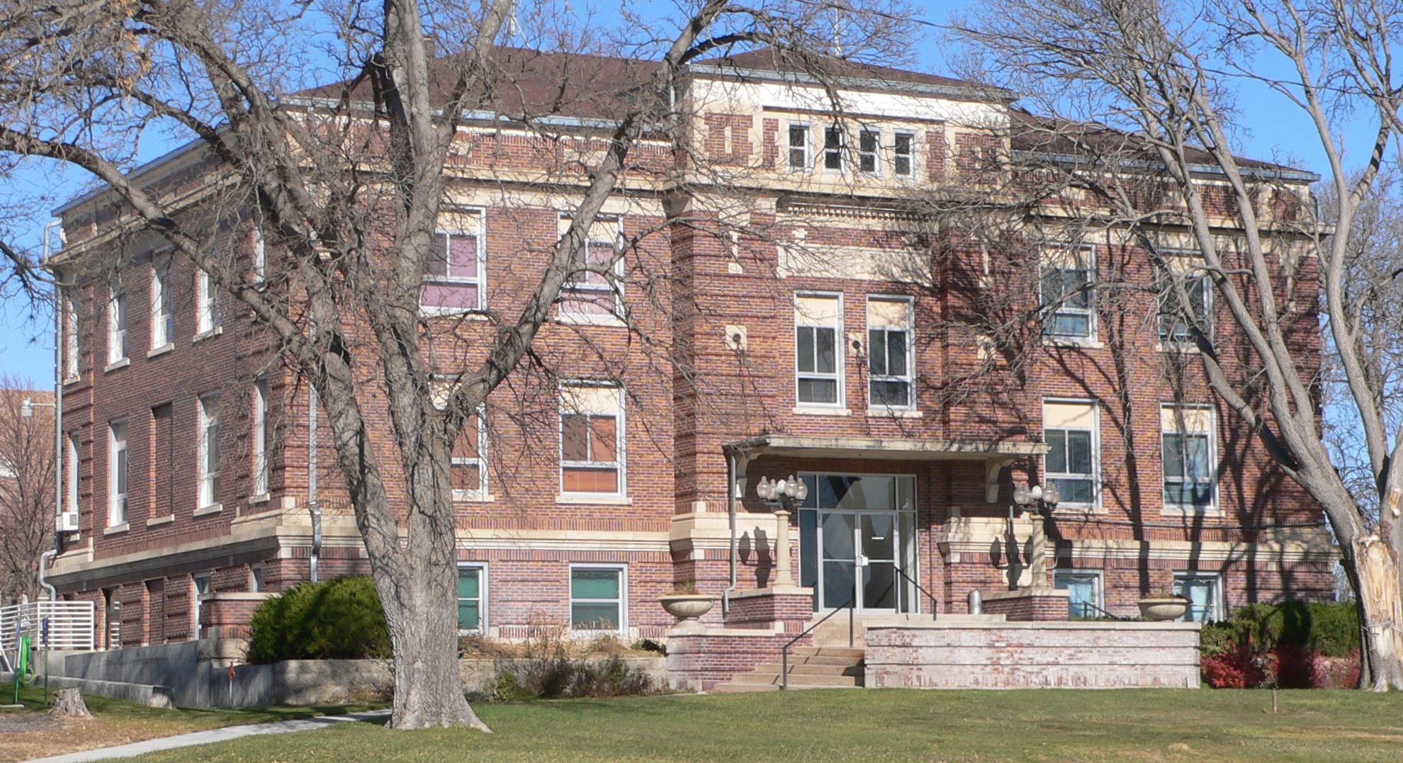
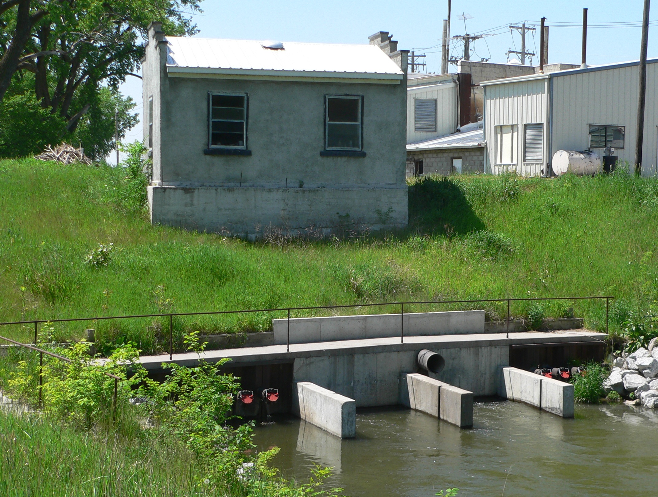
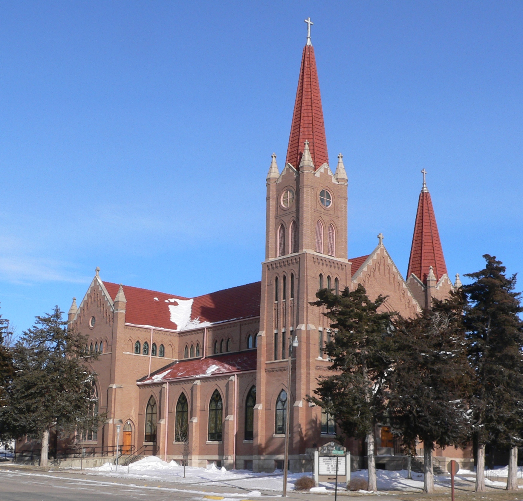
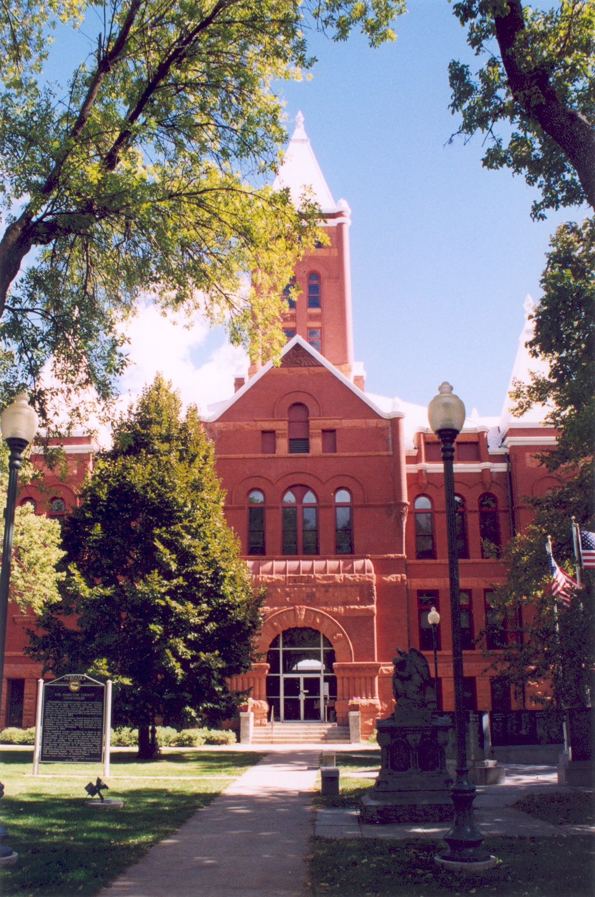
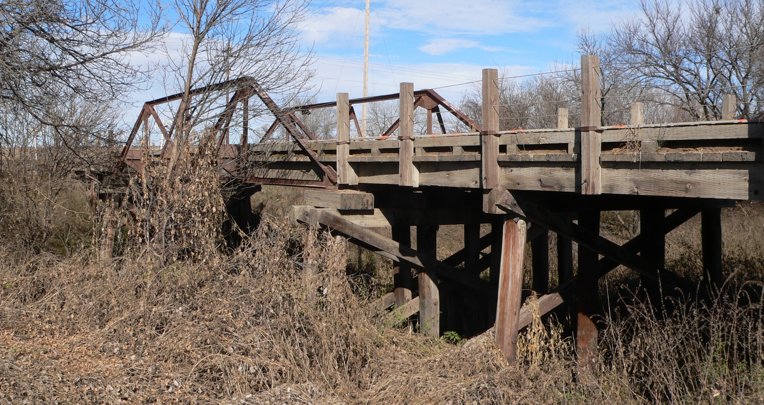
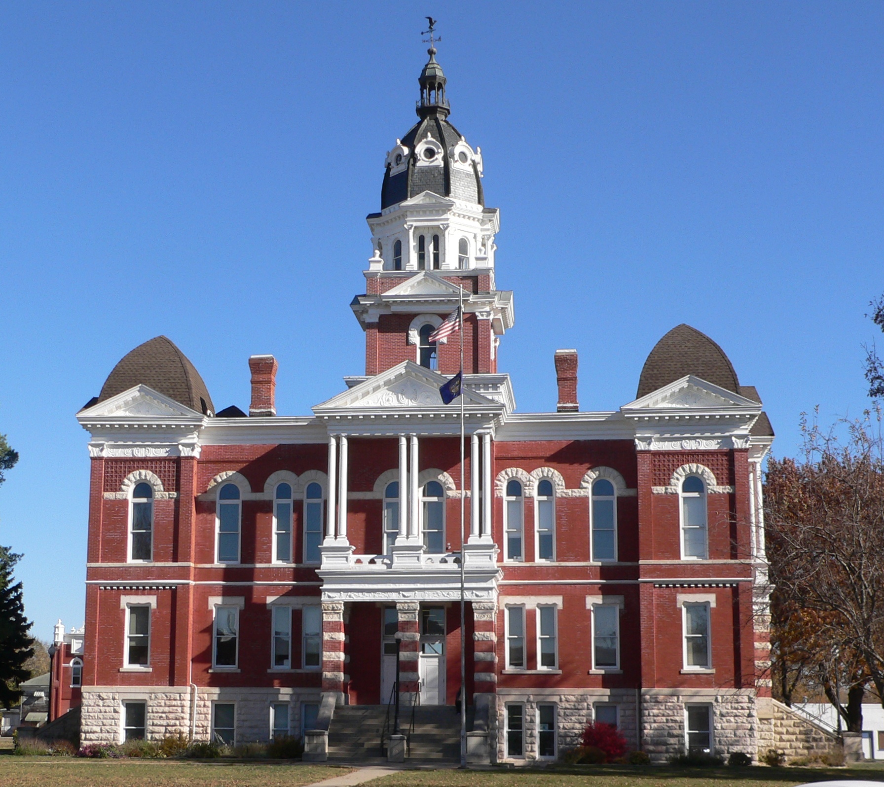
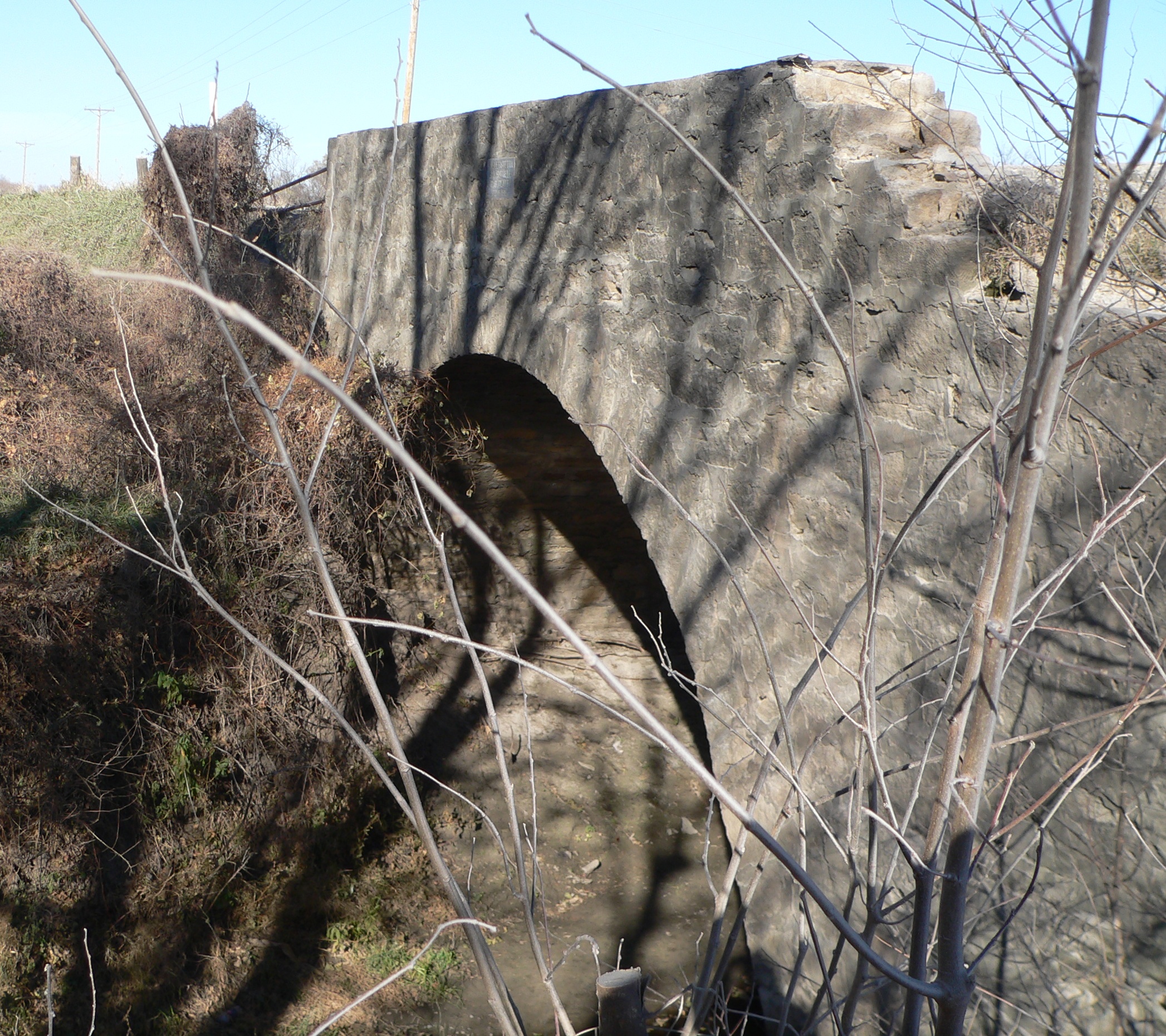
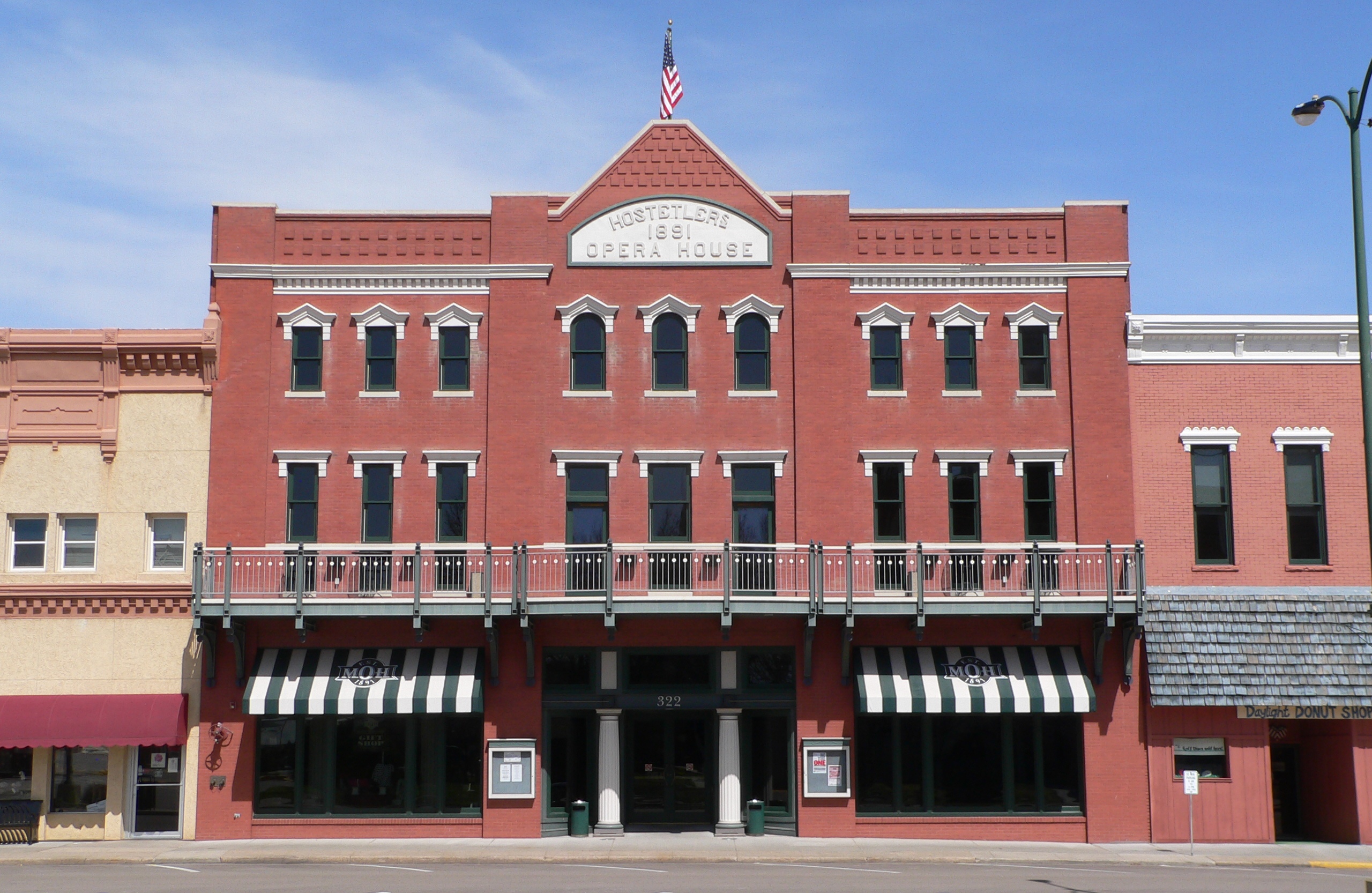
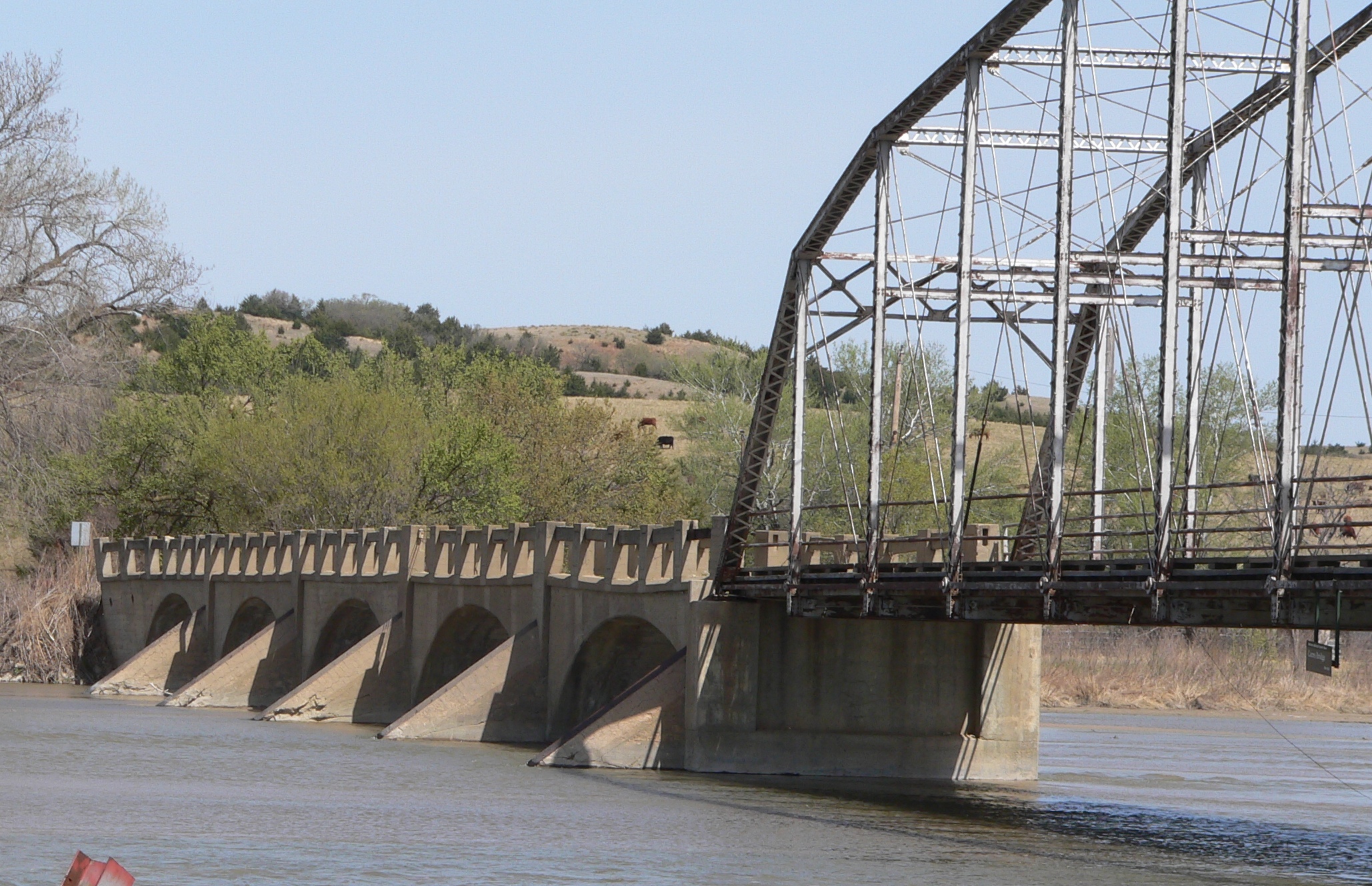
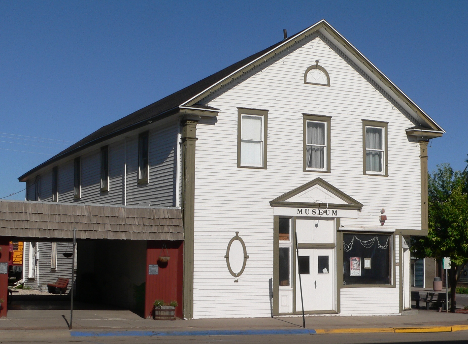
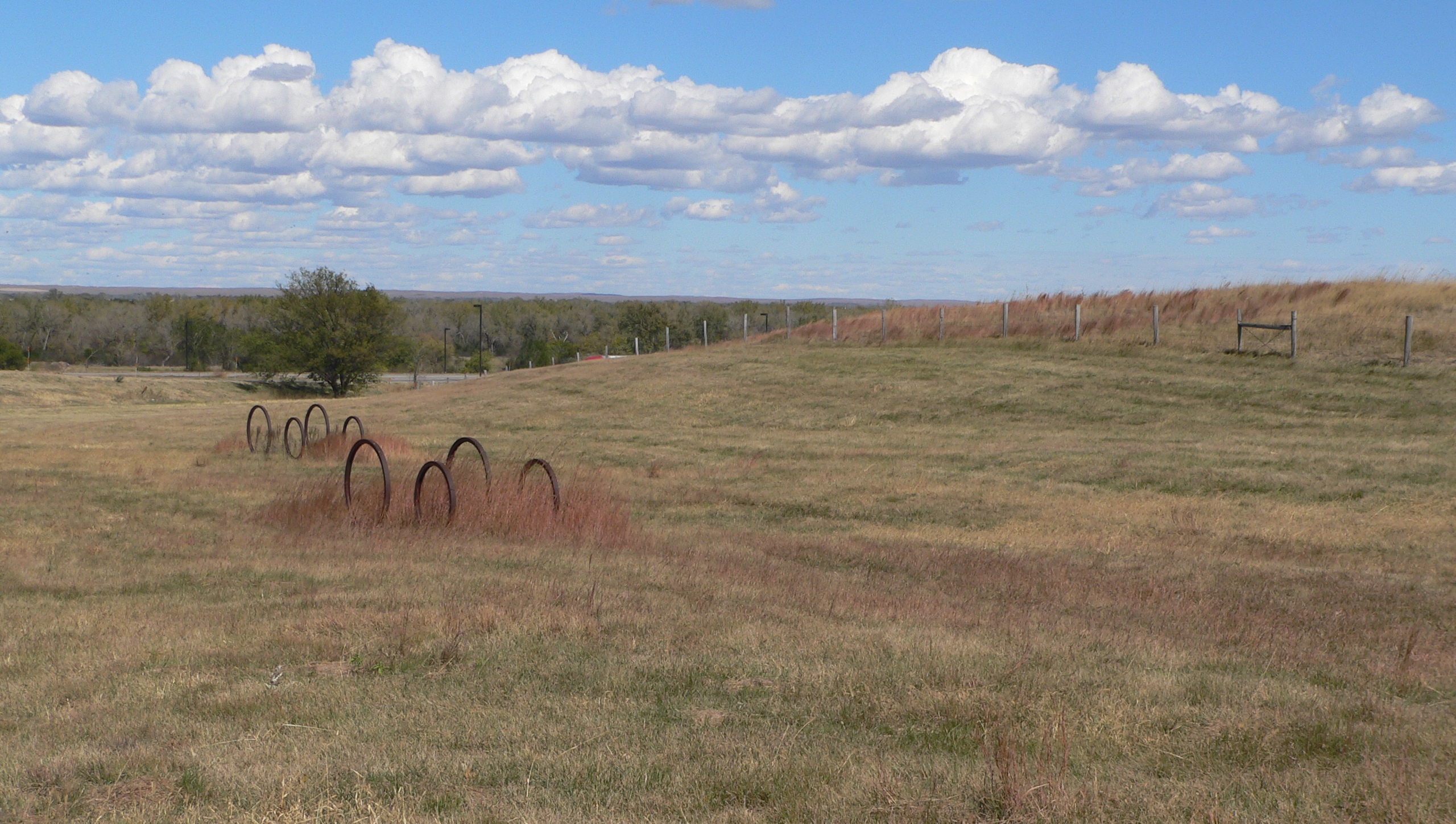
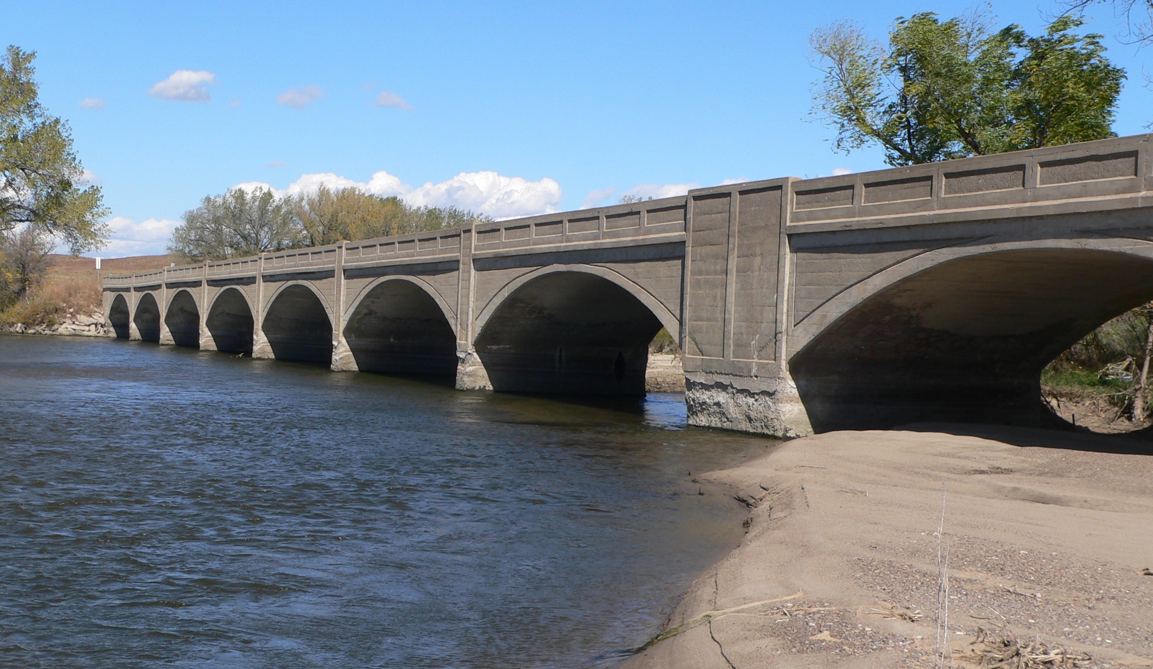
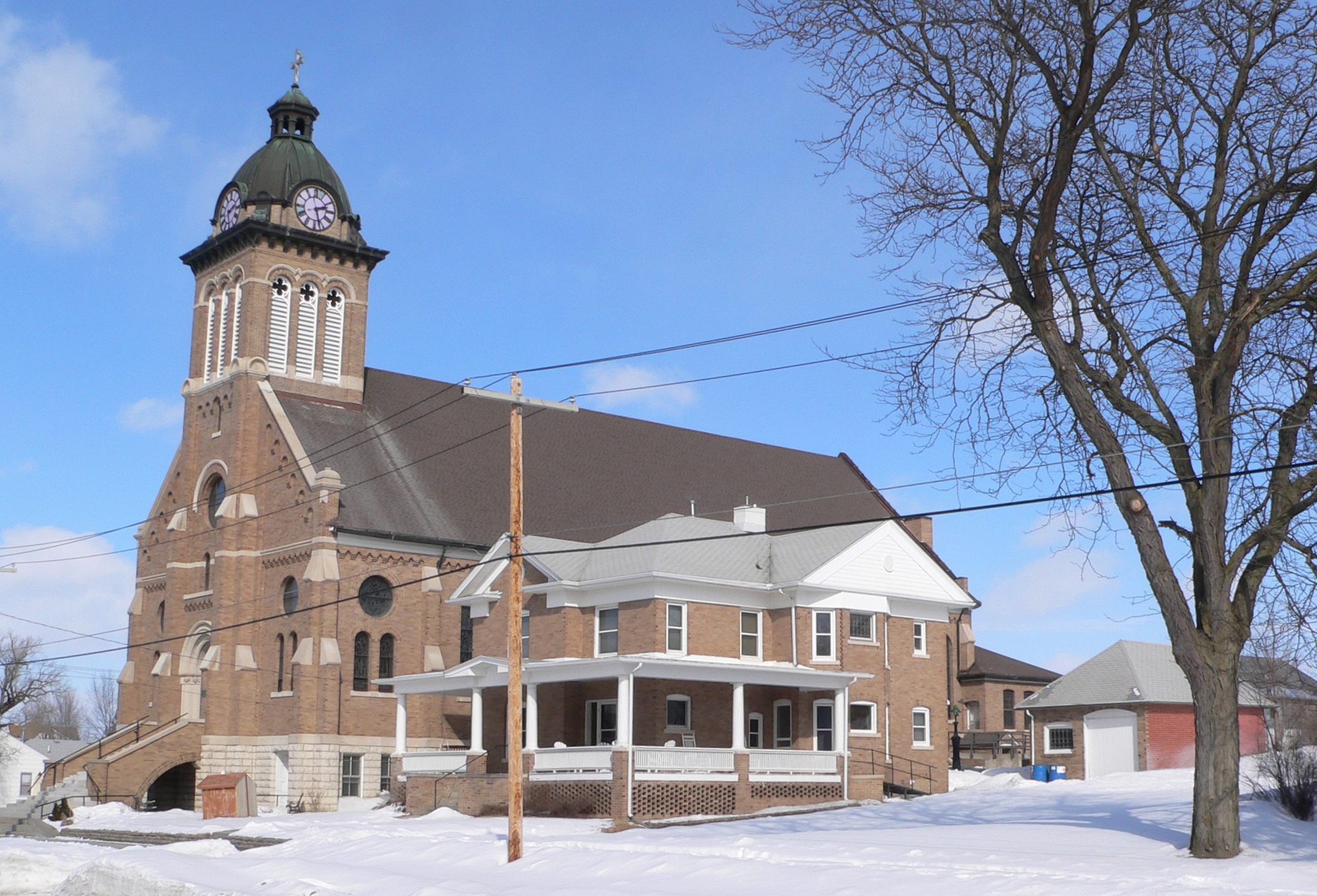
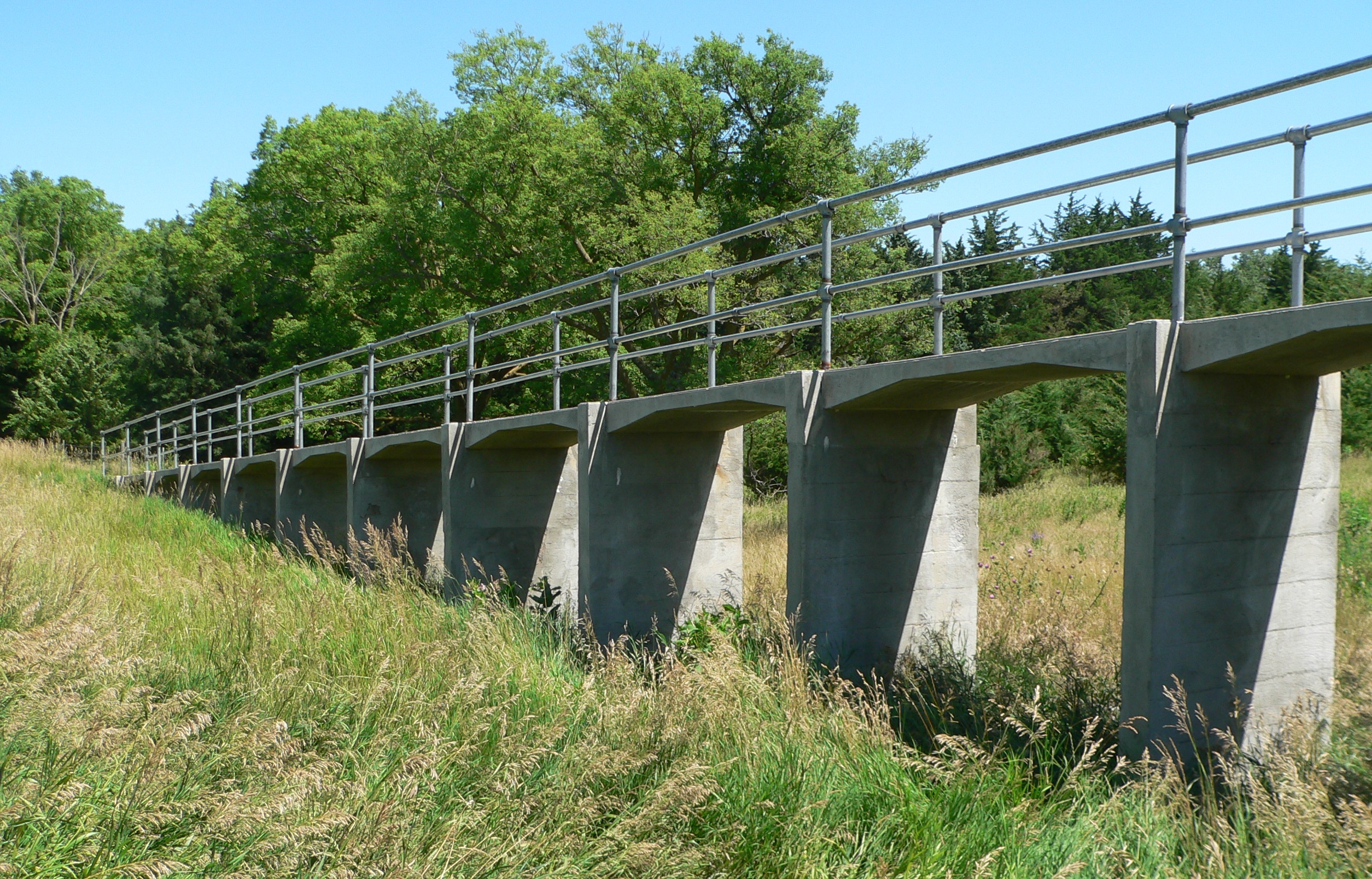
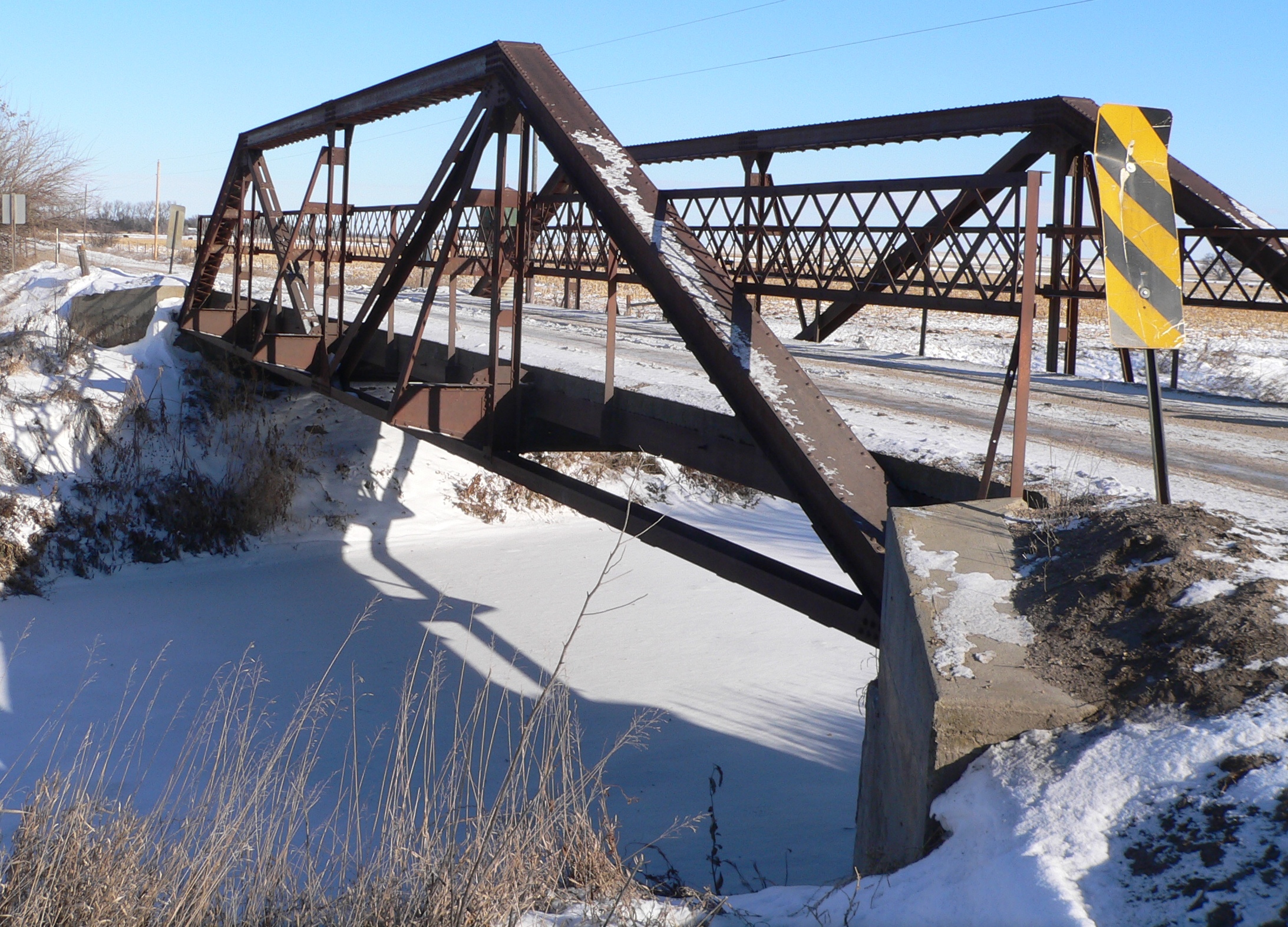
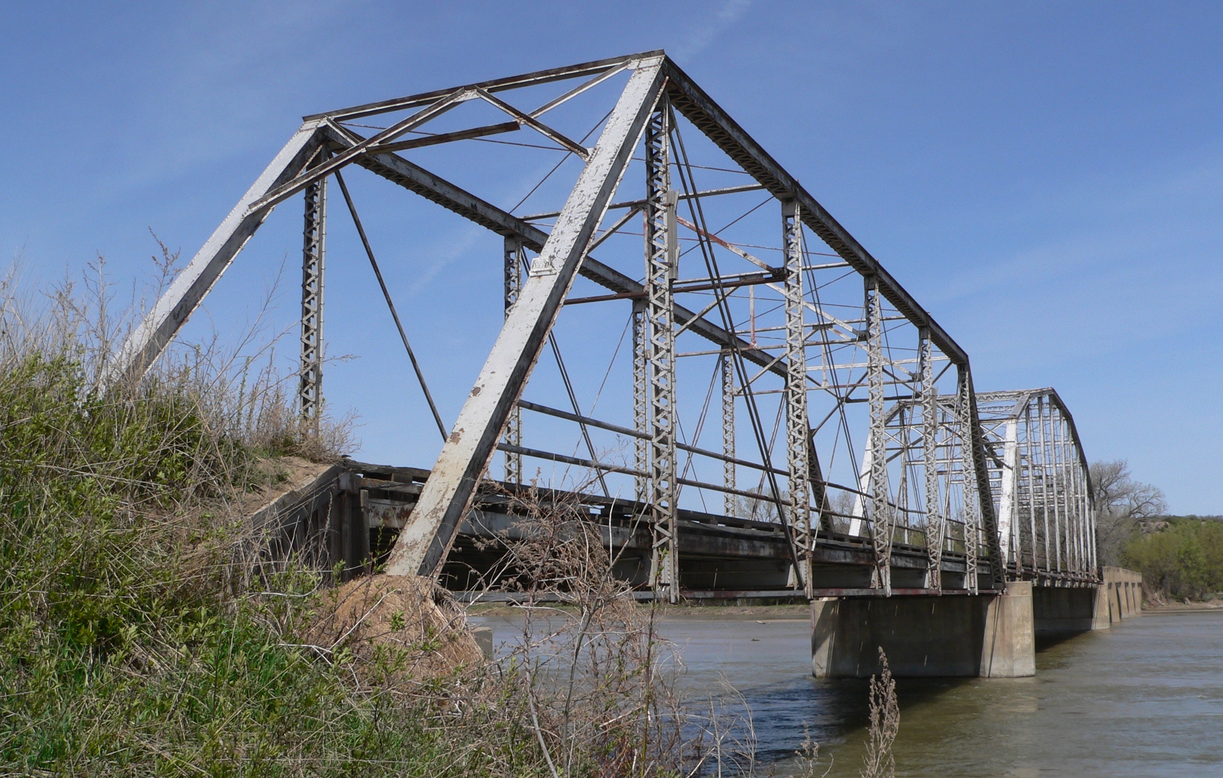
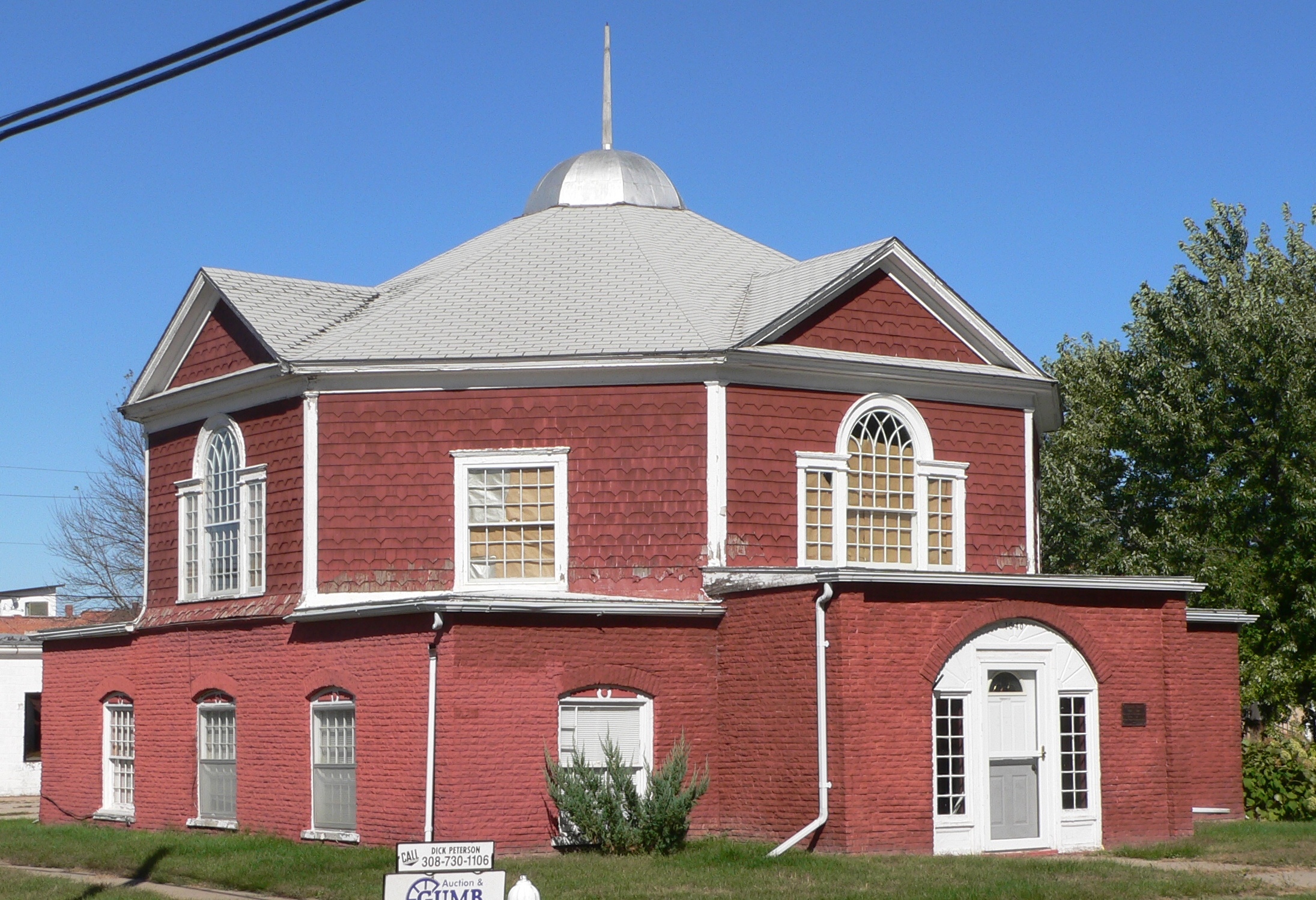
 Meridian Highway Bridge Cedar County
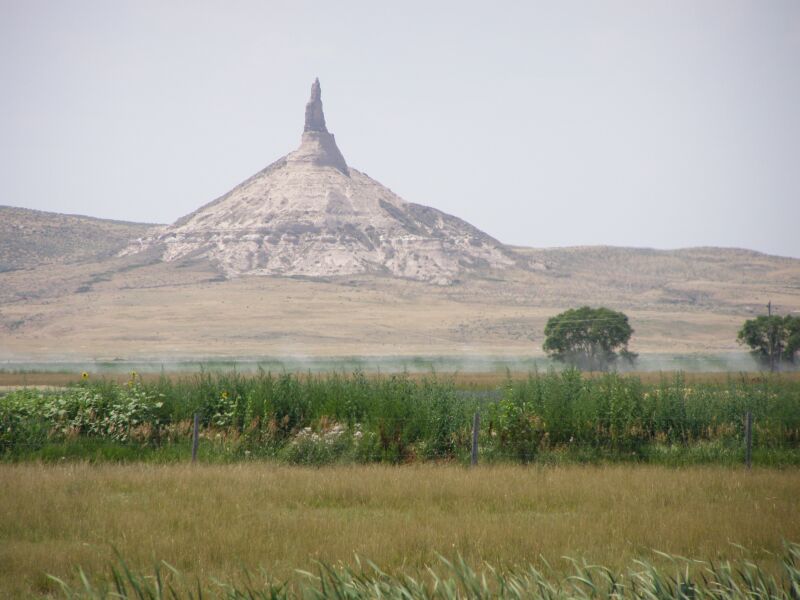
 Chimney Rock National Historic Site Morrill County
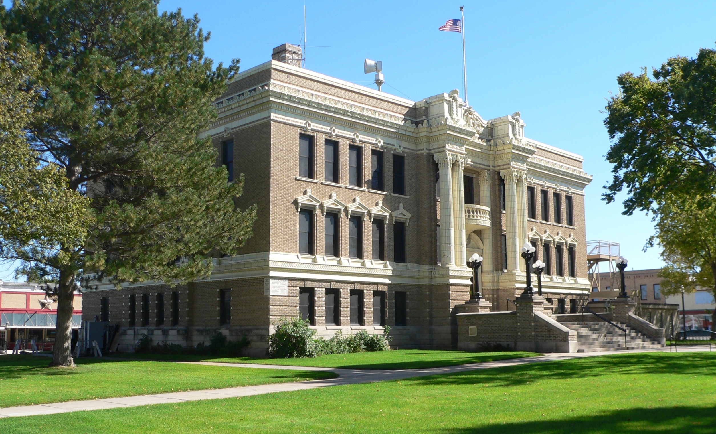
 Homestead National Monument of America Gage County
County # of Sites 1 Adams 18 2 Antelope 9 3 Arthur 2 4 Banner 1 5 Blaine 0 6 Boone 5 7 Box Butte 4 8 Boyd 6 9 Brown 1 10 Buffalo 18 11 Burt 10 12 Butler 12 13 Cass 24 14 Cedar 13 15 Chase 6 16 Cherry 13 17 Cheyenne 12 18 Clay 7 19 Colfax 11 20 Cuming 3 21 Custer 13 22 Dakota 5 23 Dawes 15 24 Dawson 8 25 Deuel 4 26 Dixon 5 27 Dodge 21 28 Douglas 151 29 Dundy 1 30 Fillmore 19 31 Franklin 7 32 Frontier 2 33 Furnas 2 34 Gage 27 35 Garden 6 36 Garfield 4 37 Gosper 1 38 Grant 1 39 Greeley 6 40 Hall 21 41 Hamilton 5 42 Harlan 3 43 Hayes 3 44 Hitchcock 4 45 Holt 7 46 Hooker 3 47 Howard 6 48 Jefferson 14 49 Johnson 5 50 Kearney 7 51 Keith 12 52 Keya Paha 2 53 Kimball 4 54 Knox 15 55 Lancaster 93 56 Lincoln 8 57 Logan 0 58 Loup 2 59 Madison 7 60 McPherson 0 61 Merrick 9 62 Morrill 7 63 Nance 10 64 Nemaha 12 65 Nuckolls 6 66 Otoe 26 67 Pawnee 14 68 Perkins 3 69 Phelps 4 70 Pierce 5 71 Platte 21 72 Polk 6 73 Red Willow 8 74 Richardson 10 75 Rock 3 76 Saline 19 77 Sarpy 20 78 Saunders 19 79 Scotts Bluff 21 80 Seward 9 81 Sheridan 10 82 Sherman 5 83 Sioux 6 84 Stanton 0 85 Thayer 3 86 Thomas 1 87 Thurston 6 88 Valley 7 89 Washington 13 90 Wayne 5 91 Webster 36 92 Wheeler 2 93 York 5 (duplicates) (8)[2] TOTAL 1,017 Adams County
Antelope County
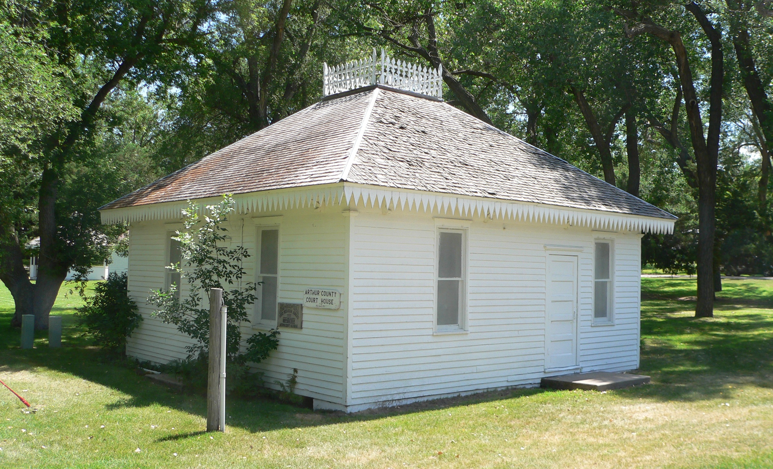
Arthur County
[3] Landmark name [4] Image Date listed Location City or town Summary 1 First Arthur County Courthouse and Jail 
January 10, 1990 Marshall St. between Fir and Elm Sts.
41°34′12″N 101°41′25″W / 41.57°N 101.690278°WArthur 2 Pilgrim Holiness Church 
June 18, 1979 Off Nebraska Highway 61
41°34′15″N 101°41′18″W / 41.570833°N 101.688333°WArthur Banner County
[3] Landmark name [4] Image Date listed Location City or town Summary 1 C.C. Hampton Homestead December 13, 1984 Address Restricted Harrisburg Blaine County
There are no properties listed on the National Register of Historic Places in Blaine County.
Boone County
[3] Landmark name [4] Image Date listed Location City or town Summary 1 Cedar Rapids City Hall and Library 
July 1, 1994 423 W. Main St.
41°33′35″N 98°08′54″W / 41.559722°N 98.148333°WCedar Rapids 2 Petersburg Jail 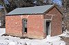
March 15, 2005 Main St. and 2nd St.
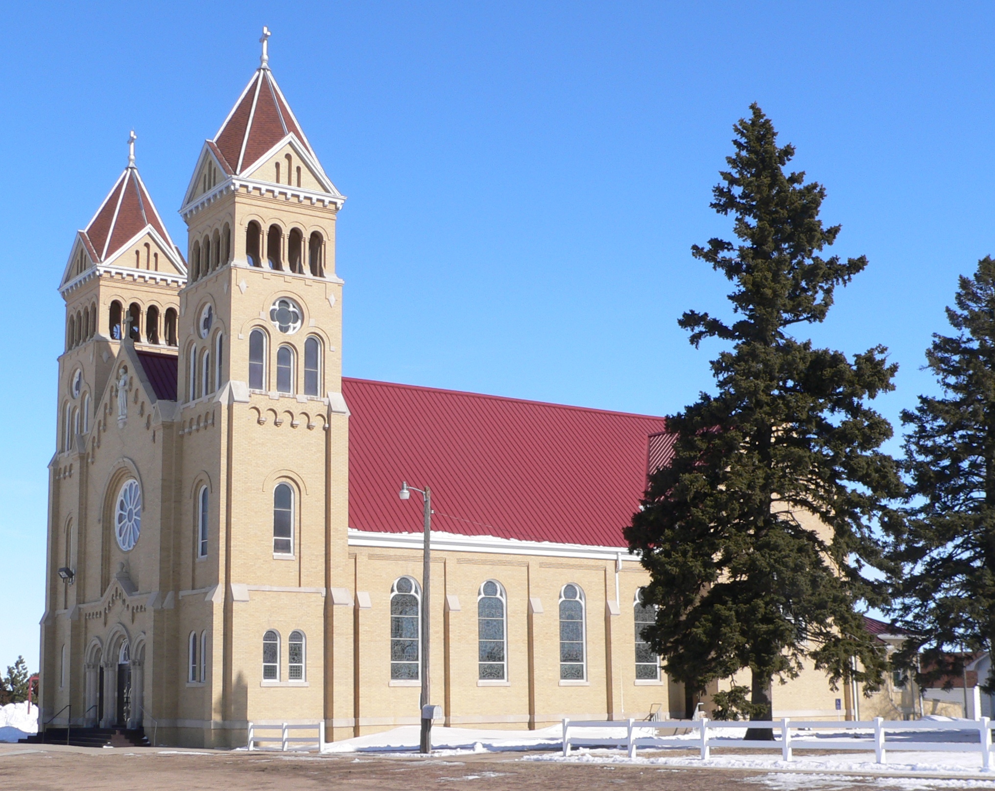
41°51′15″N 98°04′46″W / 41.854167°N 98.079444°WPetersburg 3 St. Anthony's Church and School 
March 9, 2000 514 W. Main St. and 103 N 6th St.
41°33′38″N 98°09′03″W / 41.560556°N 98.150833°WCedar Rapids 4 St. Bonaventure Church Complex 
October 19, 1982 Off Nebraska Highway 14
41°53′44″N 98°03′06″W / 41.895556°N 98.051667°WRaeville 5 US Post Office-Albion 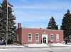
May 11, 1992 310 W. Church St.
41°41′31″N 97°59′59″W / 41.691944°N 97.999722°WAlbion Box Butte County
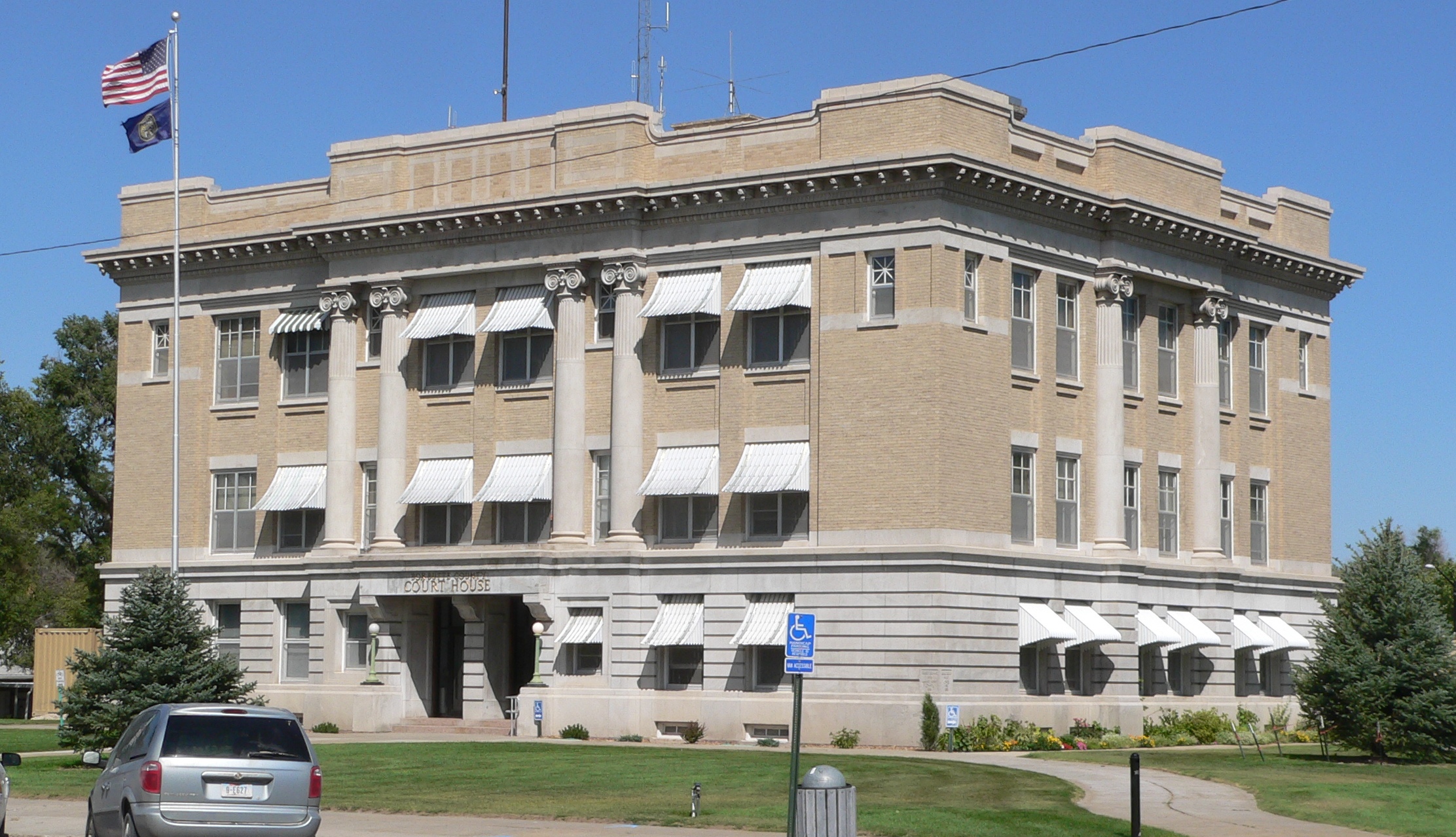
[3] Landmark name [4] Image Date listed Location City or town Summary 1 Alliance Commercial Historic District March 21, 2007 Roughly along Box Butte Ave. Alliance 2 Box Butte County Courthouse 
January 10, 1990 Box Butte Ave. between E. 5th and 6th Sts.
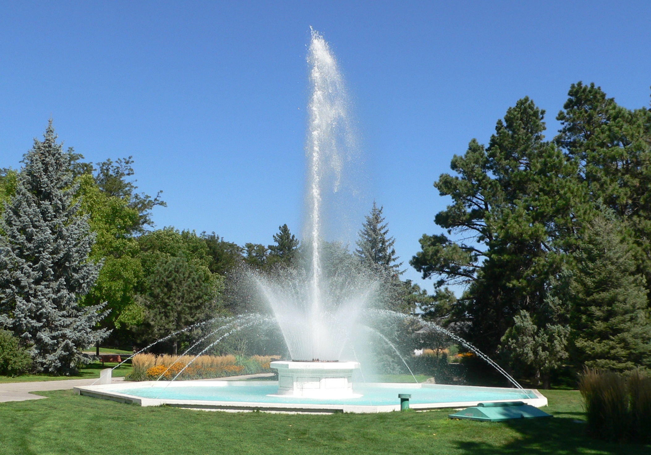
42°05′59″N 102°52′12″W / 42.099722°N 102.87°WAlliance 3 City of Alliance Central Park Fountain 
November 28, 1990 Junction of 10th St. and Niobrara Ave.
42°06′17″N 102°52′08″W / 42.104722°N 102.868889°WAlliance 4 Running Water Stage Station Site February 20, 1975 Address Restricted Marsland Boyd County
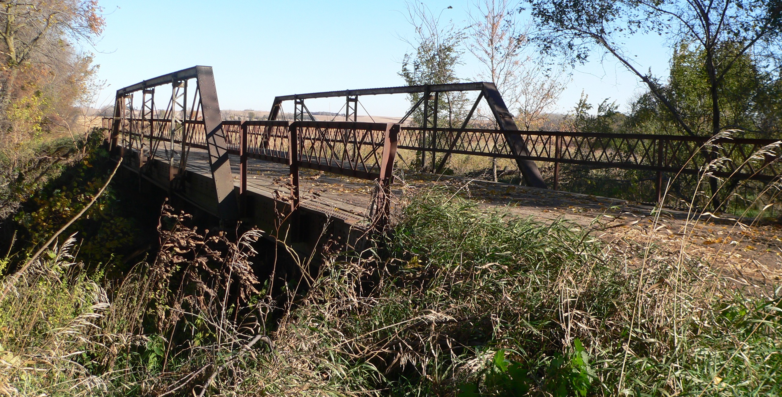
[3] Landmark name [4] Image Date listed Location City or town Summary 1 Lynch Archeological Site December 2, 1974 Address Restricted Lynch 2 Ponca Agency July 12, 2006 Address Restricted Niobrara 3 Ponca Creek Bridge June 29, 1992 County road over Ponca Creek, 3 miles east of Lynch
42°49′27″N 98°24′24″W / 42.824167°N 98.406667°WLynch 4 SS Peter & Paul Catholic School 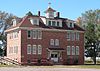
January 7, 1992 Southeastern corner of the junction of 2nd and Broadway Sts.
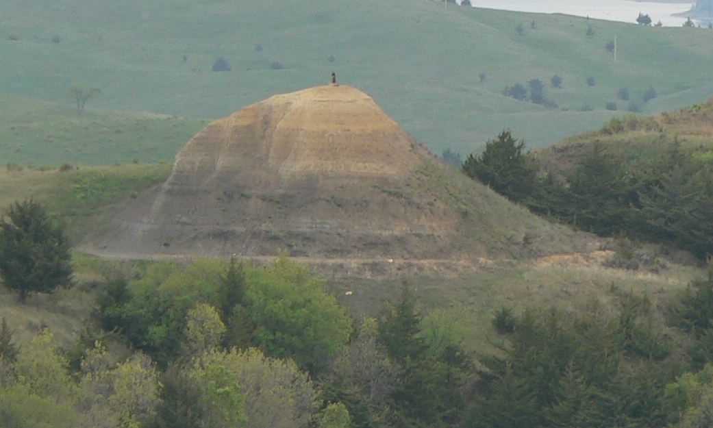
42°54′54″N 98°51′08″W / 42.915°N 98.852222°WButte 5 The Tower 
December 29, 2004 East of Gross, near the Missouri River
42°56′13″N 98°28′40″W / 42.93694°N 98.47778°W[5]Lynch Also known as "Old Baldy"[4] 6 White Horse Ranch July 5, 1990 Southeast of Naper between the Keya Paha and Niobrara Rivers
42°52′31″N 99°03′26″W / 42.875278°N 99.057222°WNaper Brown County
[3] Landmark name [4] Image Date listed Location City or town Summary 1 Miller Hotel 
November 27, 1989 199 W. 3rd St.[6]
42°32′02″N 99°42′05″W / 42.533889°N 99.701389°WLong Pine Buffalo County
Burt County
Butler County
Cass County
Cedar County
Chase County
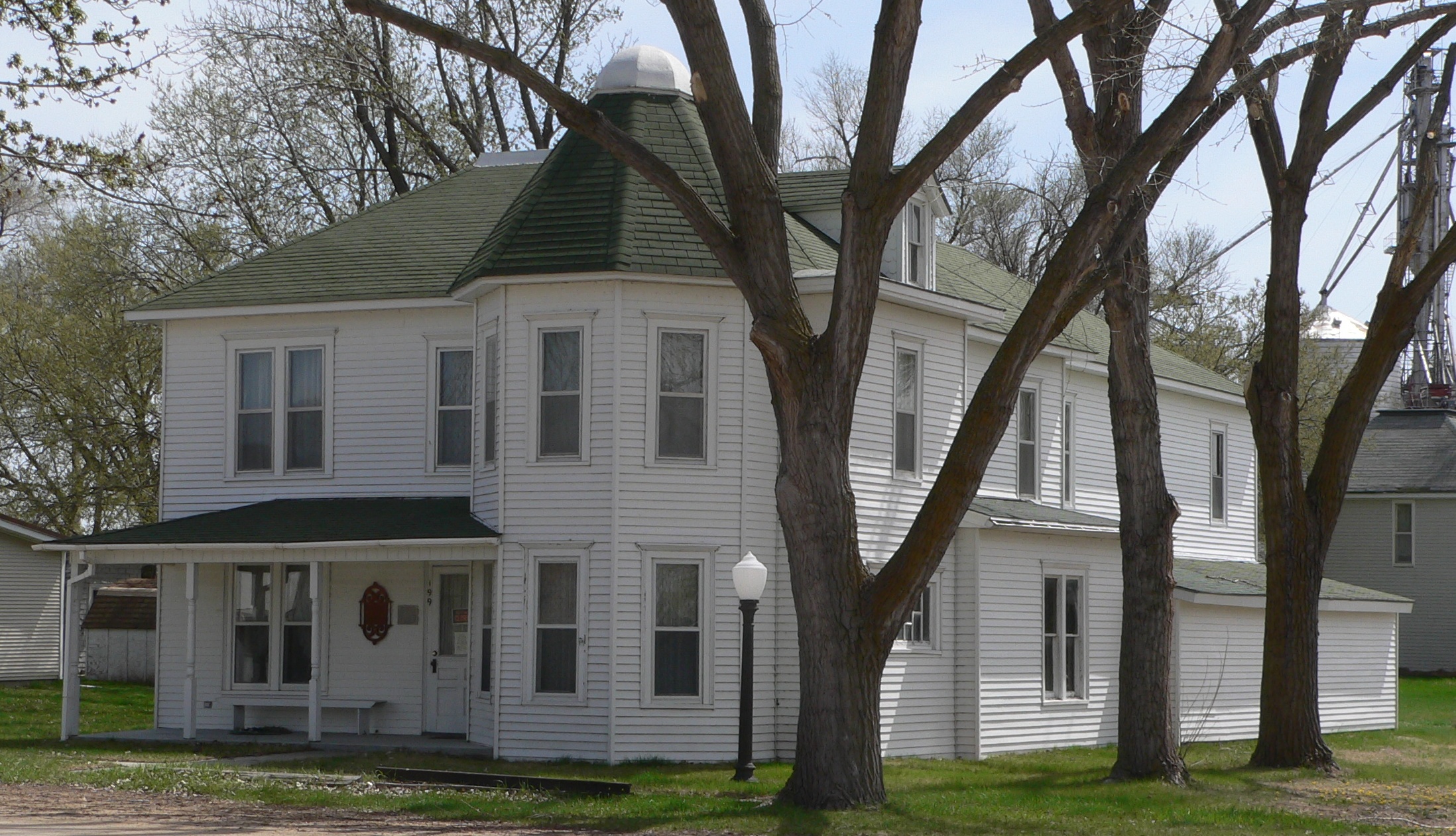
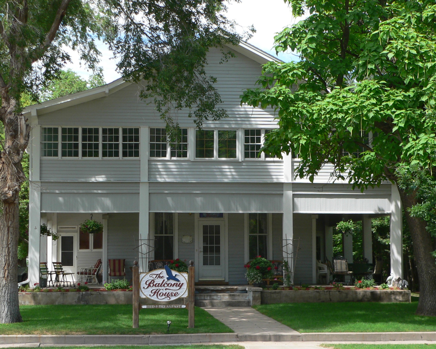
[3] Landmark name [4] Image Date listed Location City or town Summary 1 Balcony House 
July 5, 2000 1006 Court St.
40°31′12″N 101°38′40″W / 40.52°N 101.644444°WImperial 2 Champion Mill 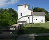
June 23, 1988 Mill and 2nd Sts.
40°28′17″N 101°45′00″W / 40.471389°N 101.75°WChampion 3 Chase County Courthouse 
January 10, 1990 Broadway between 9th and 10th Sts.
40°31′14″N 101°38′36″W / 40.520556°N 101.643333°WImperial 4 Lovett Site May 5, 1972 Address Restricted Wauneta 5 Texas Trail Stone Corral 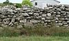
December 9, 2002 Nebraska Highway 61 north of Imperial
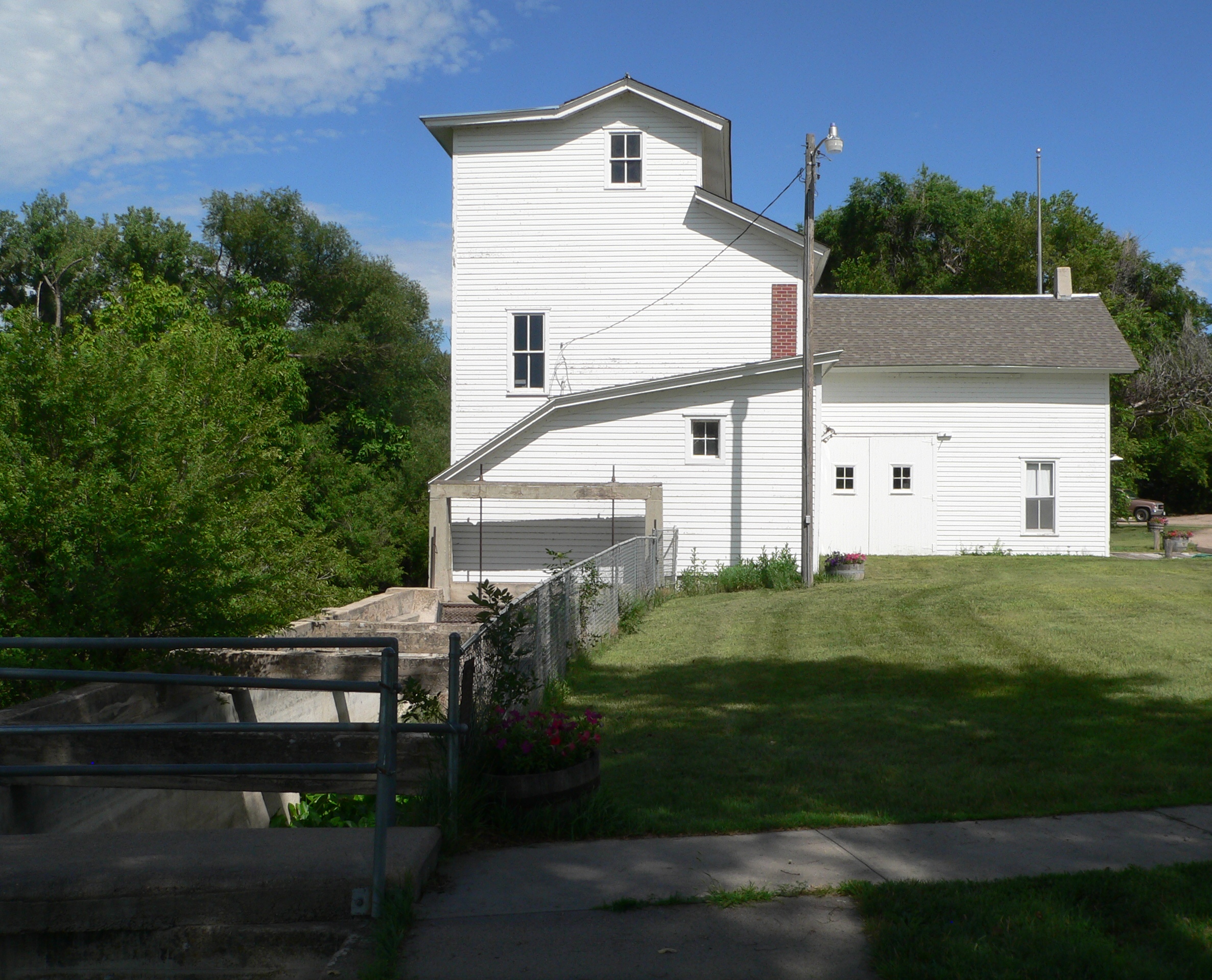
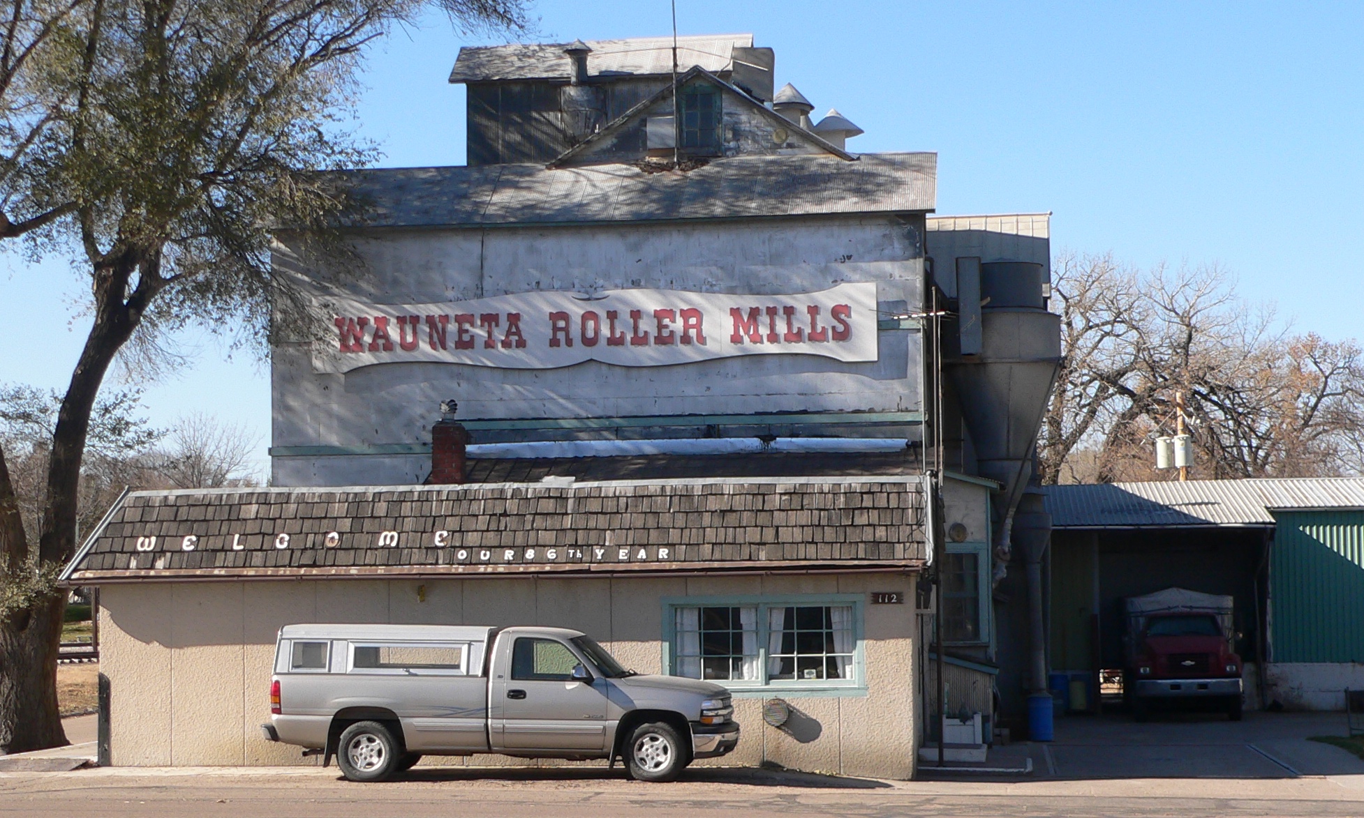
40°35′33″N 101°37′38″W / 40.5926°N 101.6272°WImperial 6 Wauneta Roller Mills 
March 12, 2008 112 S. Arapahoe
40°24′47″N 101°22′31″W / 40.413056°N 101.375278°WWauneta Cherry County
Cheyenne County
Clay County
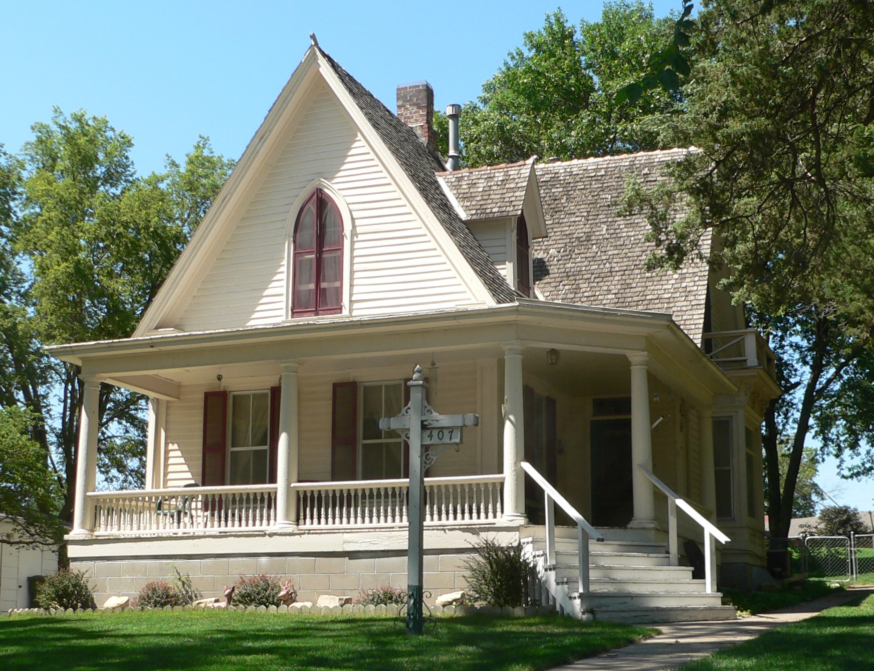
[3] Landmark name [4] Image Date listed Location City or town Summary 1 Isaac Newton Clark House 
December 15, 1983 407 W. Cedar St.[7]
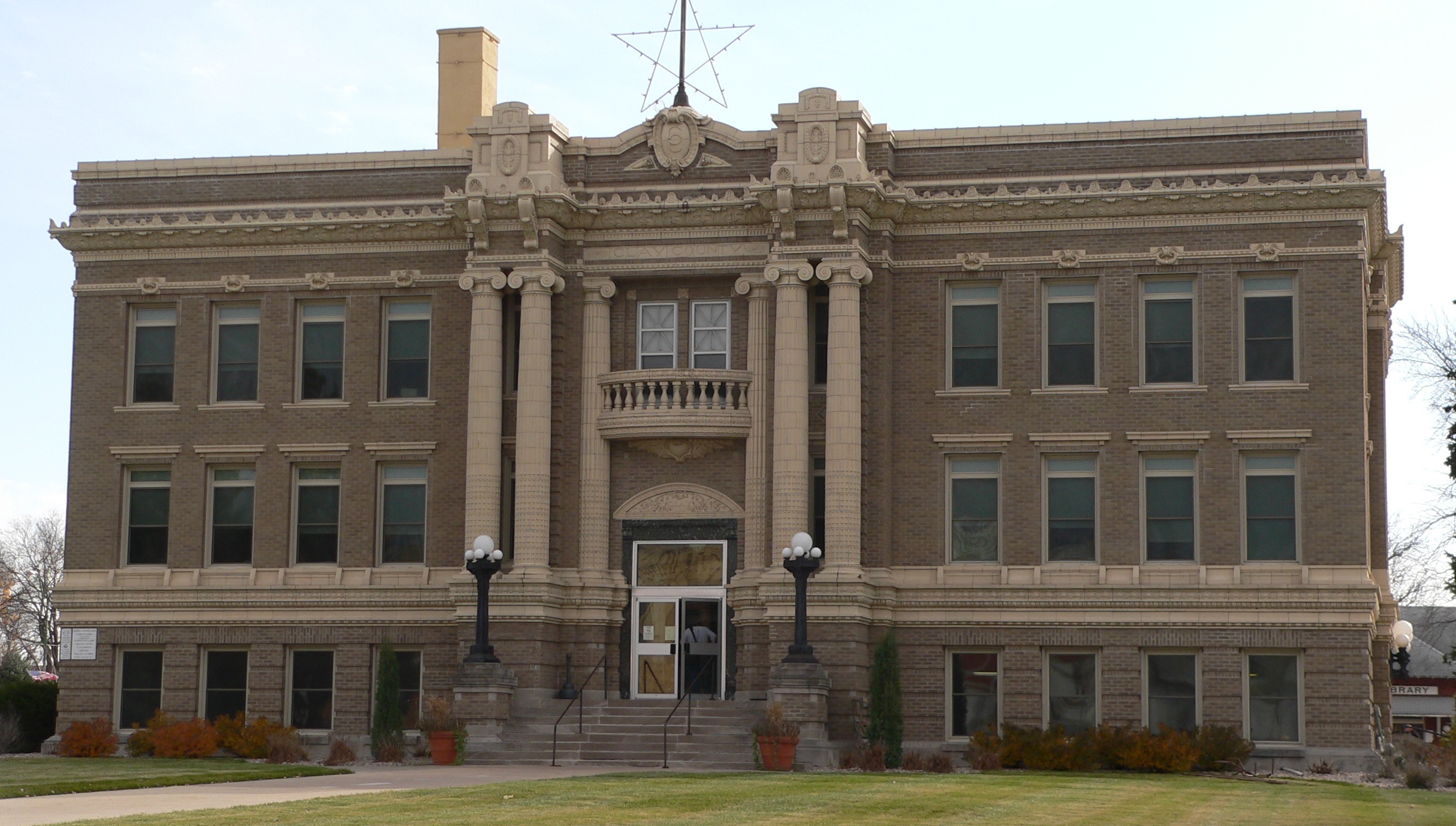
40°36′36″N 97°51′51″W / 40.61°N 97.864167°WSutton 2 Clay County Courthouse 
January 10, 1990 Fairfield St. between Alexander and Brown Aves.
40°31′16″N 98°03′16″W / 40.521111°N 98.054444°WClay Center 3 Deering Bridge 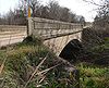
June 29, 1992 County road over School Creek, 2 miles north and 2 miles east of Sutton
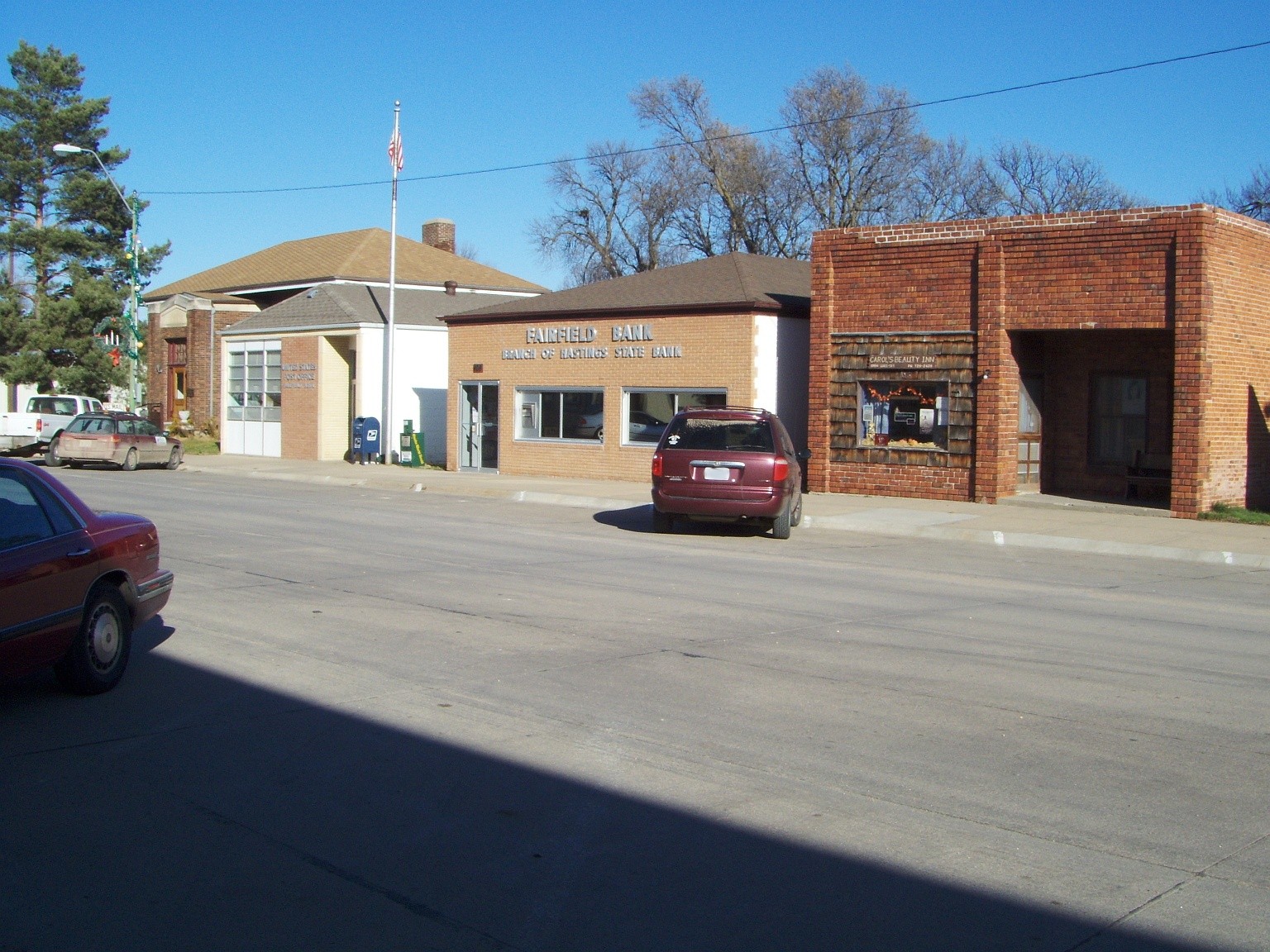
40°38′26″N 97°49′27″W / 40.640556°N 97.824167°WSutton Extends into Fillmore County 4 Fairfield Carnegie Library 
November 29, 2001 412 N. D St.
40°25′52″N 98°06′17″W / 40.431111°N 98.104722°WFairfield 5 Glenville School 
December 31, 1998 401 S. 5th St.
40°30′08″N 98°15′22″W / 40.502222°N 98.256111°WGlenvil 6 Inland School 
March 28, 2002 Junction of NWC East Ave. and Edison St.
40°35′37″N 98°13′21″W / 40.593611°N 98.2225°WInland 7 Saint Martin's Catholic Church 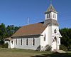
September 26, 1985 Northwest of Deweese
40°21′53″N 98°11′42″W / 40.364722°N 98.195°WDeweese Colfax County
Cuming County
[3] Landmark name [4] Image Date listed Location City or town Summary 1 John G. Neihardt Study 
July 28, 1970 Northwestern corner of Washington and Grove Sts.
42°00′41″N 96°34′38″W / 42.011389°N 96.577222°WBancroft 2 Rattlesnake Creek Bridge 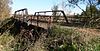
June 29, 1992 County road over Rattlesnake Creek, 2.8 miles northwest of Bancroft
42°02′39″N 96°36′48″W / 42.044167°N 96.613333°WBancroft 3 West Point City Auditorium 
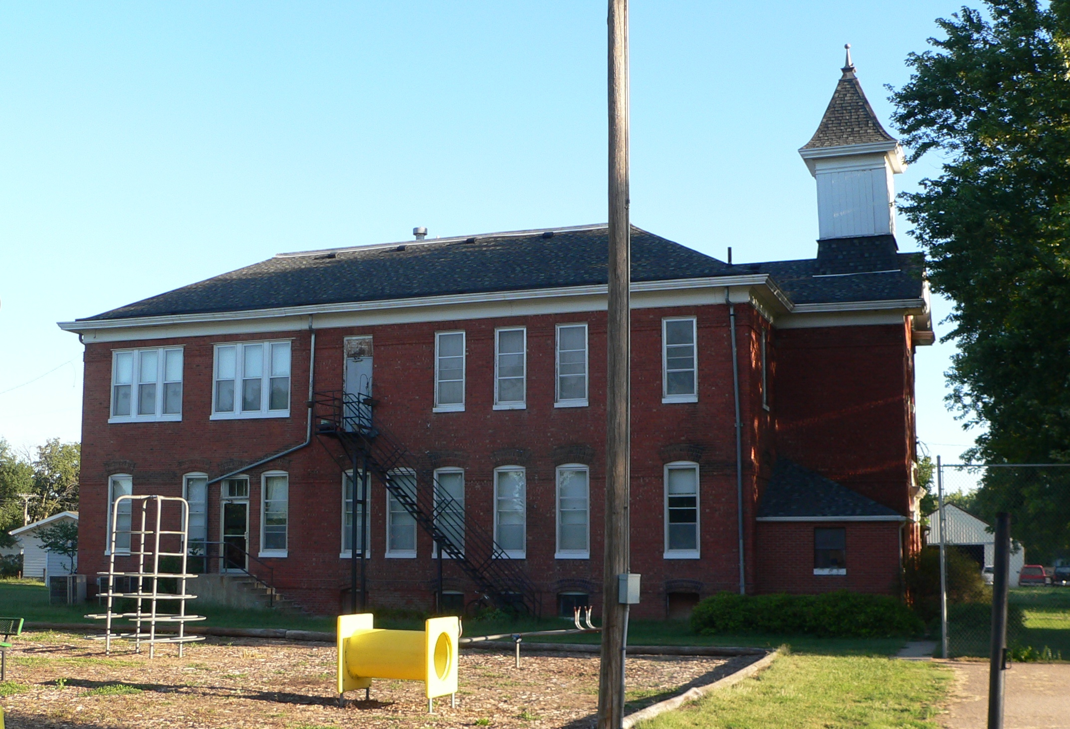
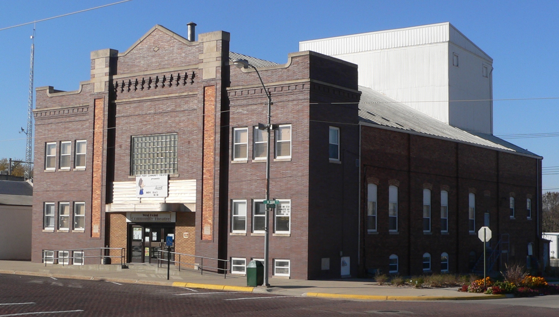
November 10, 2009 237 N. Main St.
41°50′31″N 96°42′45″W / 41.841861°N 96.712417°WWest Point Custer County
Dakota County
[3] Landmark name [4] Image Date listed Location City or town Summary 1 Ben Bonderson Farm 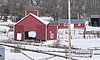
November 8, 2006 1541 270th St.
42°16′45″N 96°38′30″W / 42.279167°N 96.641667°WEmerson 2 Emmanuel Lutheran Church 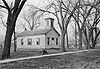
October 15, 1969 1500 Hickory St.
42°24′46″N 96°24′58″W / 42.41273°N 96.41613°WDakota City 3 Homer Site August 14, 1973 Address Restricted Homer 4 Meisch House 
March 13, 1986 213 17th St.
42°28′26″N 96°24′54″W / 42.473889°N 96.415°WSouth Sioux City 5 Cornelius O'Connor House 
November 23, 1977 East of Homer: corner of F Avenue and Blyburg Rd[8]
42°18′40″N 96°27′43″W / 42.311111°N 96.461944°WHomer Dawes County
Dawson County
[3] Landmark name [4] Image Date listed Location City or town Summary 1 Allen's Opera House 
September 28, 1988 100 E. 8th
40°51′35″N 99°59′07″W / 40.859722°N 99.985278°WCozad 2 Ernest A. Calling House 
October 25, 1979 1514 Lake Ave.
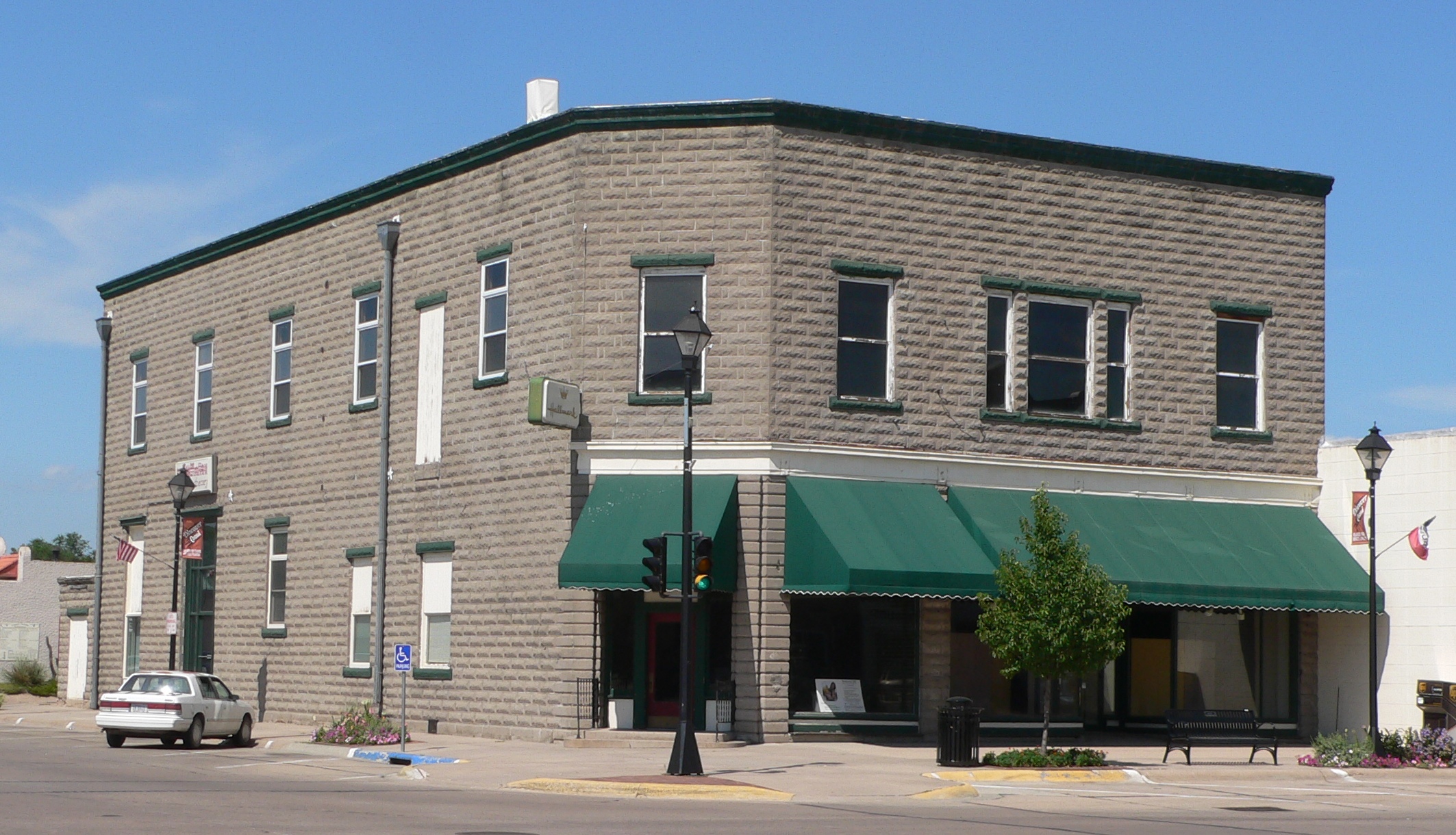
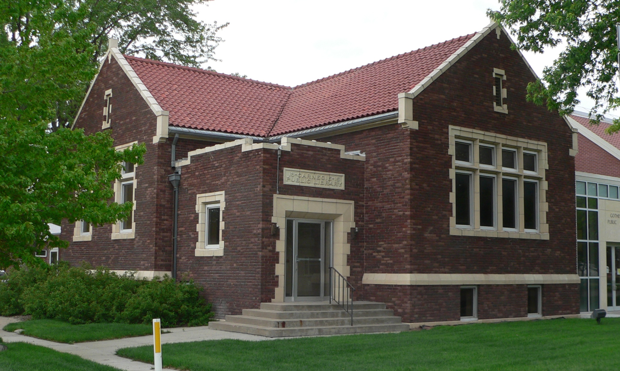
40°56′0″N 100°9′36″W / 40.933333°N 100.16°WGothenburg 3 Carnegie Public Library 
December 19, 1986 1104 Lake Ave.
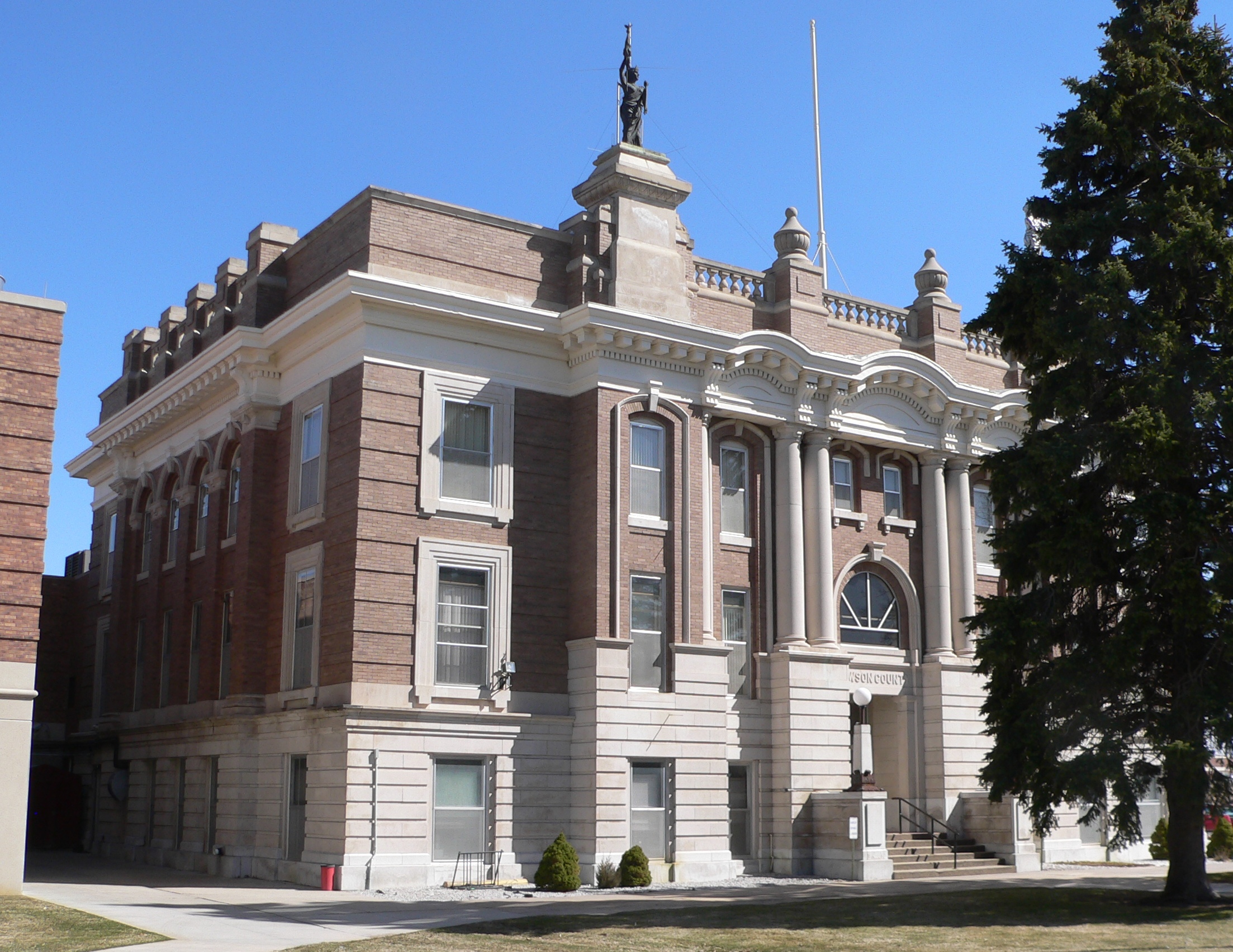
40°55′47″N 100°09′37″W / 40.929722°N 100.160278°WGothenburg 4 Dawson County Courthouse 
January 10, 1990 Washington St. between 7th and 8th Sts.
40°46′49″N 99°44′25″W / 40.780278°N 99.740278°WLexington 5 Hendee Hotel 
March 21, 1979 220 E. 8th St.
40°51′35″N 99°58′58″W / 40.859722°N 99.982778°WCozad 6 Midway Ranch House July 5, 2001 Address Restricted Gothenburg 7 Midway Stage Station 
October 15, 1969 South of Gothenburg Gothenburg 8 Ira Webster Olive House 
November 27, 1989 401 E. 13th St.
40°47′13″N 99°44′10″W / 40.786944°N 99.736111°WLexington Deuel County
[3] Landmark name [4] Image Date listed Location City or town Summary 1 Deuel County Courthouse 
January 10, 1990 718 3rd St.
41°05′38″N 102°28′17″W / 41.093889°N 102.471389°WChappell 2 Phelps Hotel 
October 15, 1970 Northeastern corner of 2nd and Pine Sts.
41°03′48″N 102°04′35″W / 41.063333°N 102.076389°WBig Springs 3 Fred and Minnie Meyer Sudman House 
December 6, 1990 490 Vincent Ave.
41°05′44″N 102°28′18″W / 41.095556°N 102.471667°WChappell 4 Wallace W. Waterman Sod House 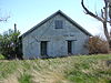
February 17, 1995 Day Rd., 9 miles north of Big Springs
41°11′22″N 102°04′25″W / 41.189444°N 102.073611°WBig Springs Dixon County
[3] Landmark name [4] Image Date listed Location City or town Summary 1 Cook Blacksmith Shop 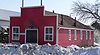
December 27, 1974 204 3rd St.
42°33′45″N 96°42′27″W / 42.5625°N 96.7075°WPonca 2 Dixon County Courthouse 
January 10, 1990 3rd and Iowa Sts.
42°33′46″N 96°42′32″W / 42.562778°N 96.708889°WPonca 3 Indian Hill Archeological District July 6, 1984 Address Restricted New Castle 4 Ponca Historic District 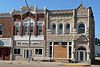
May 18, 1979 Roughly bounded by East, Court, 2nd, and 3rd Sts.
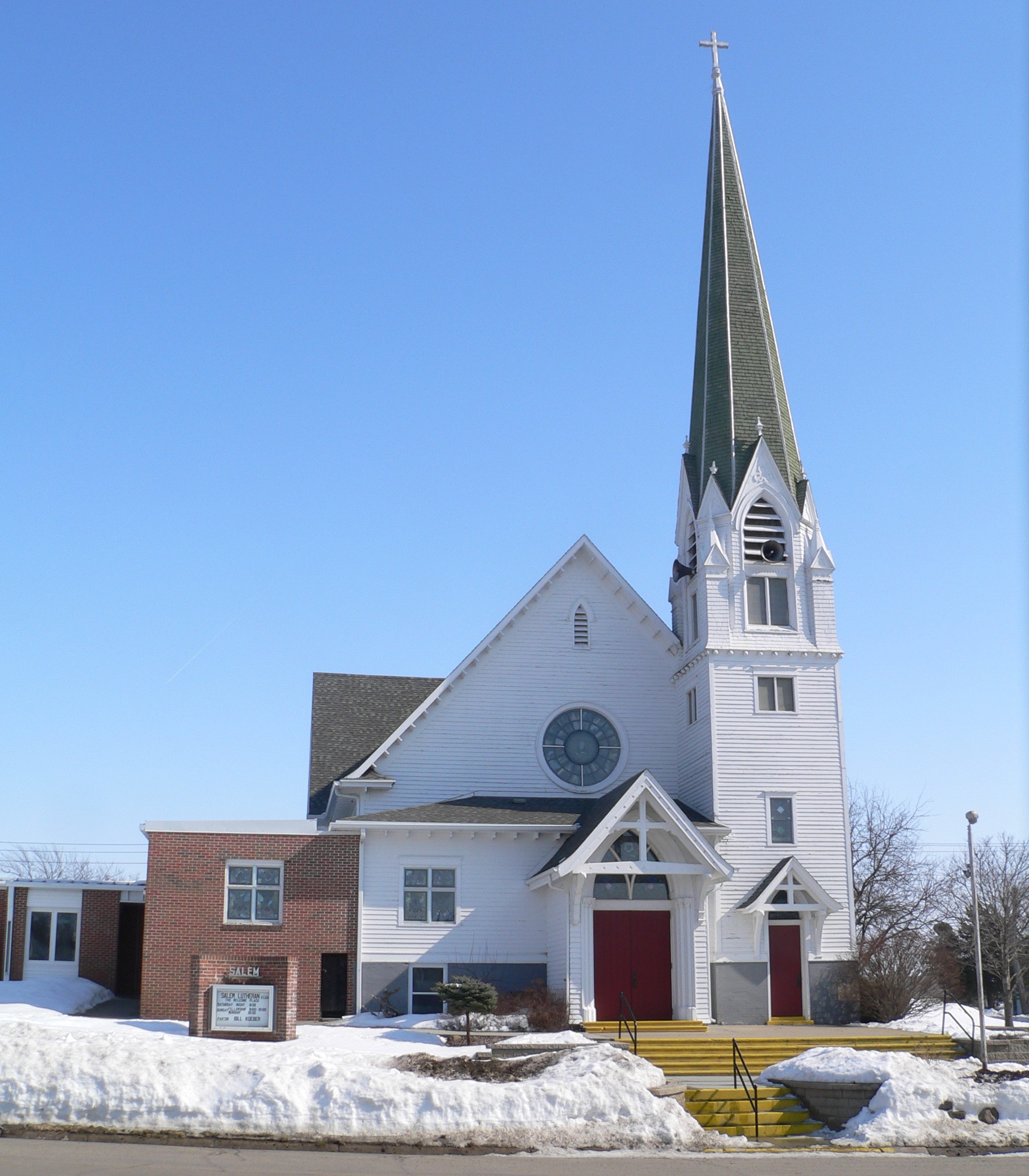
42°33′51″N 96°42′27″W / 42.564167°N 96.7075°WPonca 5 Swedish Evangelical Lutheran Salem Church 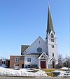
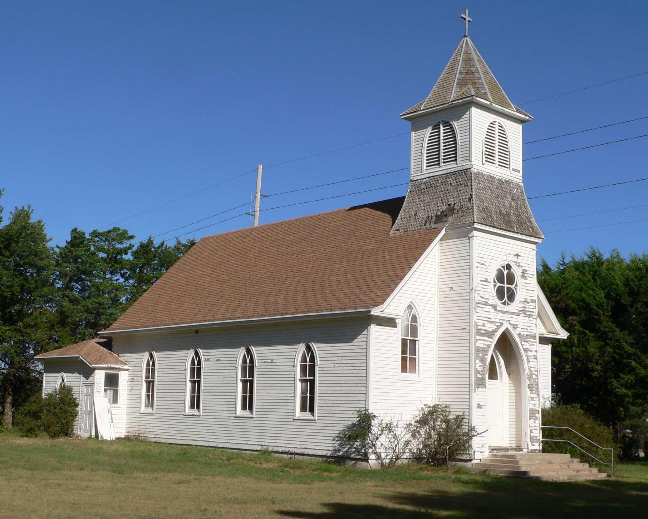
February 1, 1983 Off Nebraska Highway 35
42°16′02″N 96°51′46″W / 42.267222°N 96.862778°WWakefield Dodge County
Douglas County
Dundy County
[3] Landmark name [4] Image Date listed Location City or town Summary 1 Dundy County Courthouse 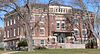
January 10, 1990 W. 7th Ave. and Chief St.
40°03′02″N 101°31′59″W / 40.050556°N 101.533056°WBenkelman Fillmore County
Franklin County
[3] Landmark name [4] Image Date listed Location City or town Summary 1 Dupee Music Hall 
September 26, 1985 1402 P St.
40°06′00″N 98°57′14″W / 40.1°N 98.953889°WFranklin 2 First Congregational Church, U.C.C. 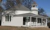
September 14, 1982 Off Nebraska Highway 31C
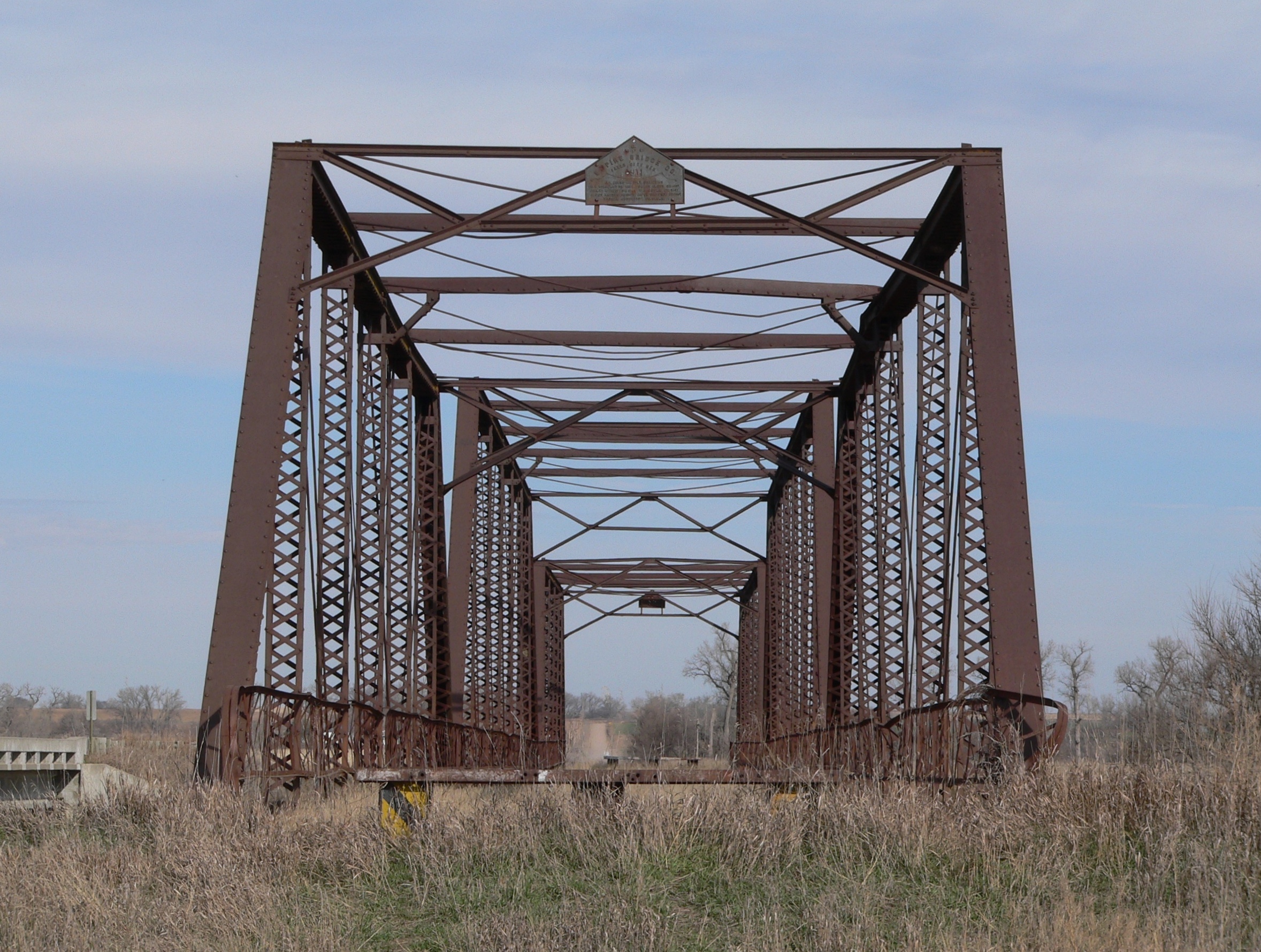
40°04′42″N 99°08′31″W / 40.078333°N 99.141944°WNaponee 3 Franklin Bridge 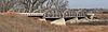
June 29, 1992 Nebraska Highway 10 over the Republican River, 1 mile south of Franklin
40°04′33″N 98°57′08″W / 40.075833°N 98.952222°WFranklin 4 Franklin County Courthouse 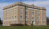
July 5, 1990 15th Ave. between N and O Sts.
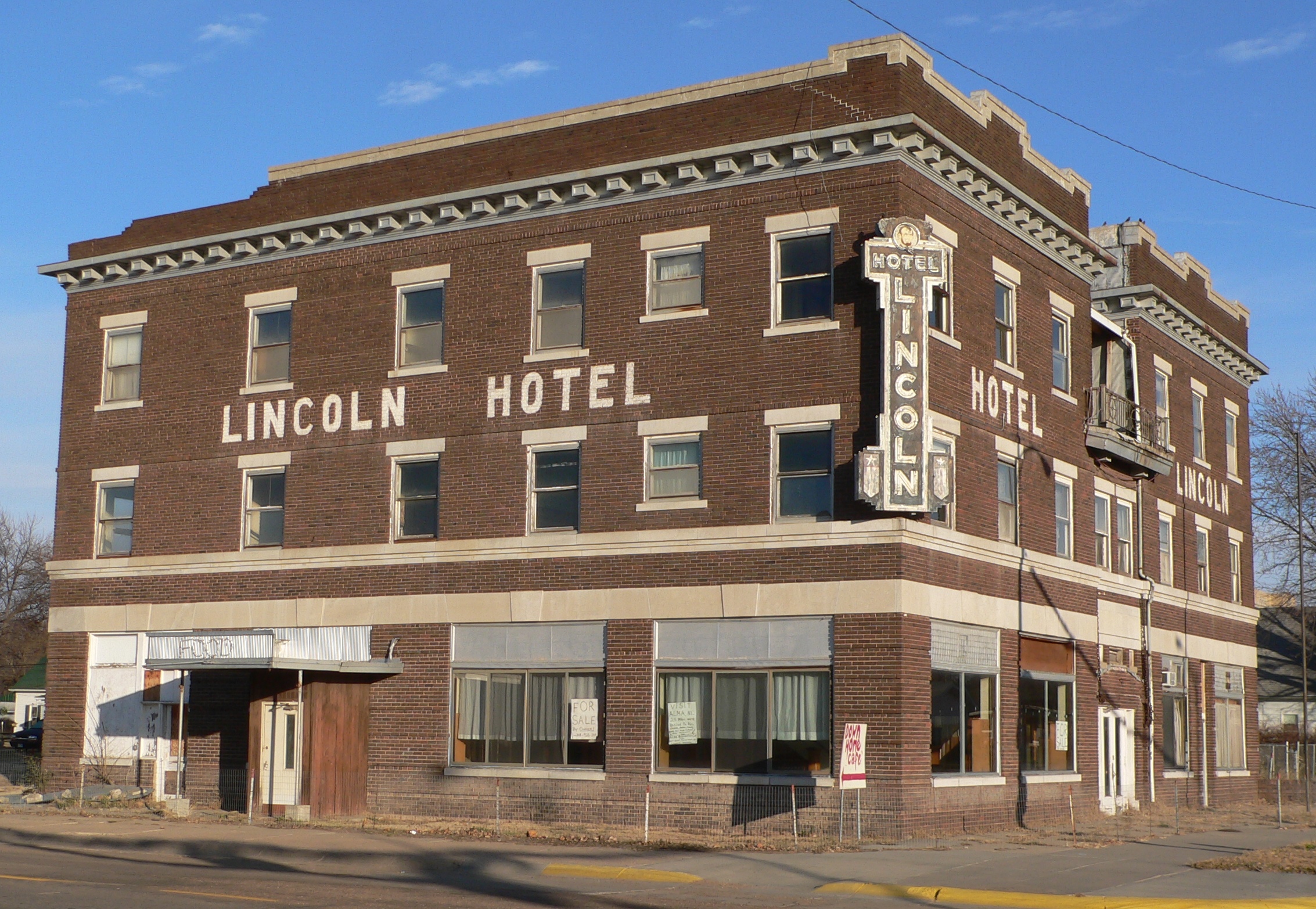
40°05′51″N 98°57′14″W / 40.0975°N 98.953889°WFranklin 5 Lincoln Hotel 
July 6, 1989 519 15th Ave.
40°05′47″N 98°57′13″W / 40.096389°N 98.953611°WFranklin 6 Lost Creek Archeological Site May 26, 1983 Address Restricted Bloomington 7 Republican River Bridge 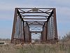
June 29, 1992 County road over the Republican River, 1 mile east and 1.5 miles south of Riverton
40°04′10″N 98°44′38″W / 40.069444°N 98.743889°WRiverton Frontier County
[3] Landmark name [4] Image Date listed Location City or town Summary 1 Mowry Bluff Archeological Site July 12, 1974 Address Restricted Cambridge 2 Red Smoke Archeological Site October 1, 1974 Address Restricted Stockville Furnas County
[3] Landmark name [4] Image Date listed Location City or town Summary 1 Cambridge State Aid Bridge 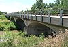
June 29, 1992 Nebraska Highway 47 over the Republican River, 0.6 miles south of Cambridge
40°16′25″N 100°09′56″W / 40.273611°N 100.165556°WCambridge 2 W.H. Faling House 
November 22, 1999 606 Parker St.
40°16′57″N 100°10′07″W / 40.2825°N 100.168611°WCambridge Gage County
Garden County
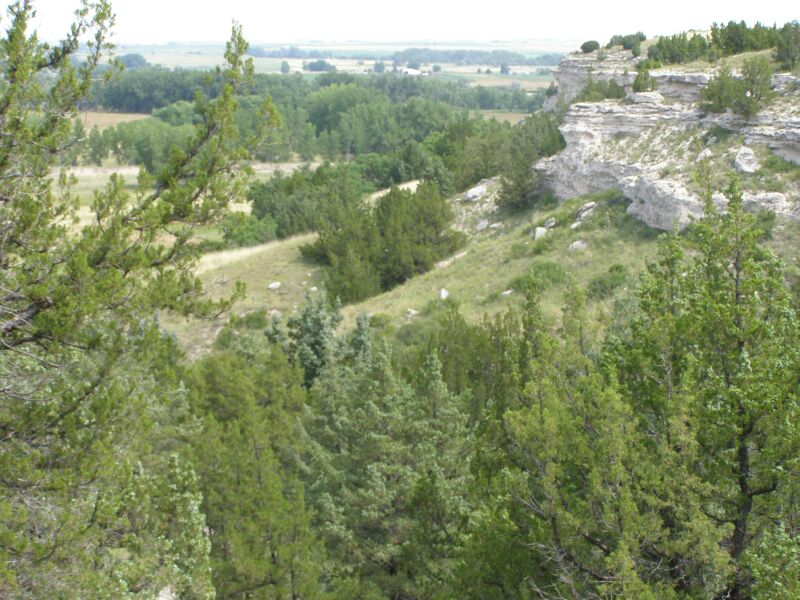
[3] Landmark name [4] Image Date listed Location City or town Summary 1 Ash Hollow Cave 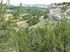
October 15, 1966 Address Restricted Lewellen 2 Ash Hollow Historic District August 6, 1975 Southwest of Lewellen along U.S. Route 26
41°16′53″N 102°06′27″W / 41.281389°N 102.1075°WLewellen 3 Garden County Courthouse 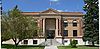
January 10, 1990 F and Main Sts.
41°24′30″N 102°20′37″W / 41.408333°N 102.343611°WOshkosh 4 Lewellen State Aid Bridge 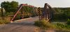
June 29, 1992 County road over the North Platte River, 1 mile south of Lewellen
41°19′03″N 102°08′34″W / 41.3175°N 102.142778°WLewellen 5 Lisco State Aid Bridge 
June 29, 1992 County road over the North Platte River, 0.6 miles south of Lisco
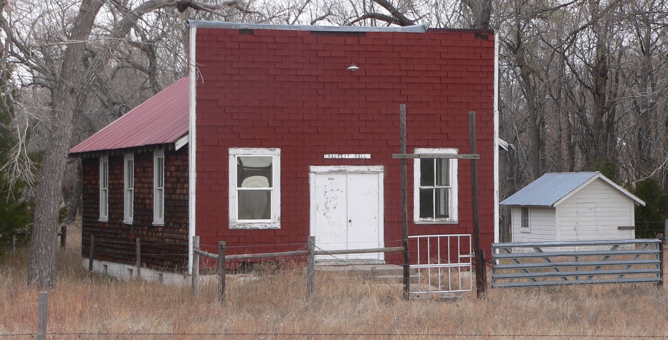
41°29′22″N 102°37′30″W / 41.489444°N 102.625°WLisco 6 Rackett Grange Hall No. 318 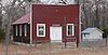
July 5, 2001 9250 Road 193
41°39′53″N 102°12′16″W / 41.664722°N 102.204444°WLewellen Garfield County
[3] Landmark name [4] Image Date listed Location City or town Summary 1 Burwell Bridge 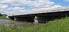
June 29, 1992 Nebraska Highway 11 over the North Loup River
41°46′04″N 99°07′31″W / 41.767778°N 99.125278°WBurwell 2 Burwell Carnegie Library 
July 11, 2006 110 S. 7th Ave.
41°46′55″N 99°07′58″W / 41.781944°N 99.132778°WBurwell 3 Garfield County Frontier Fairgrounds 
May 9, 1985 Off Nebraska Highway 91
41°46′31″N 99°07′23″W / 41.775278°N 99.123056°WBurwell 4 Hub Building 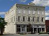
July 12, 2006 180 Grand Ave.
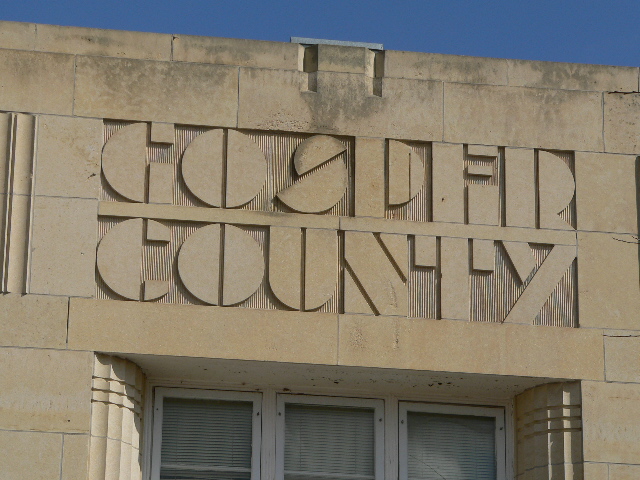
42°35′07″N 99°32′16″W / 42.585278°N 99.537778°WBurwell Gosper County
[3] Landmark name [4] Image Date listed Location City or town Summary 1 Gosper County Courthouse 
July 5, 1990 507 Smith Ave.
40°35′16″N 99°51′38″W / 40.587778°N 99.860556°WElwood Grant County
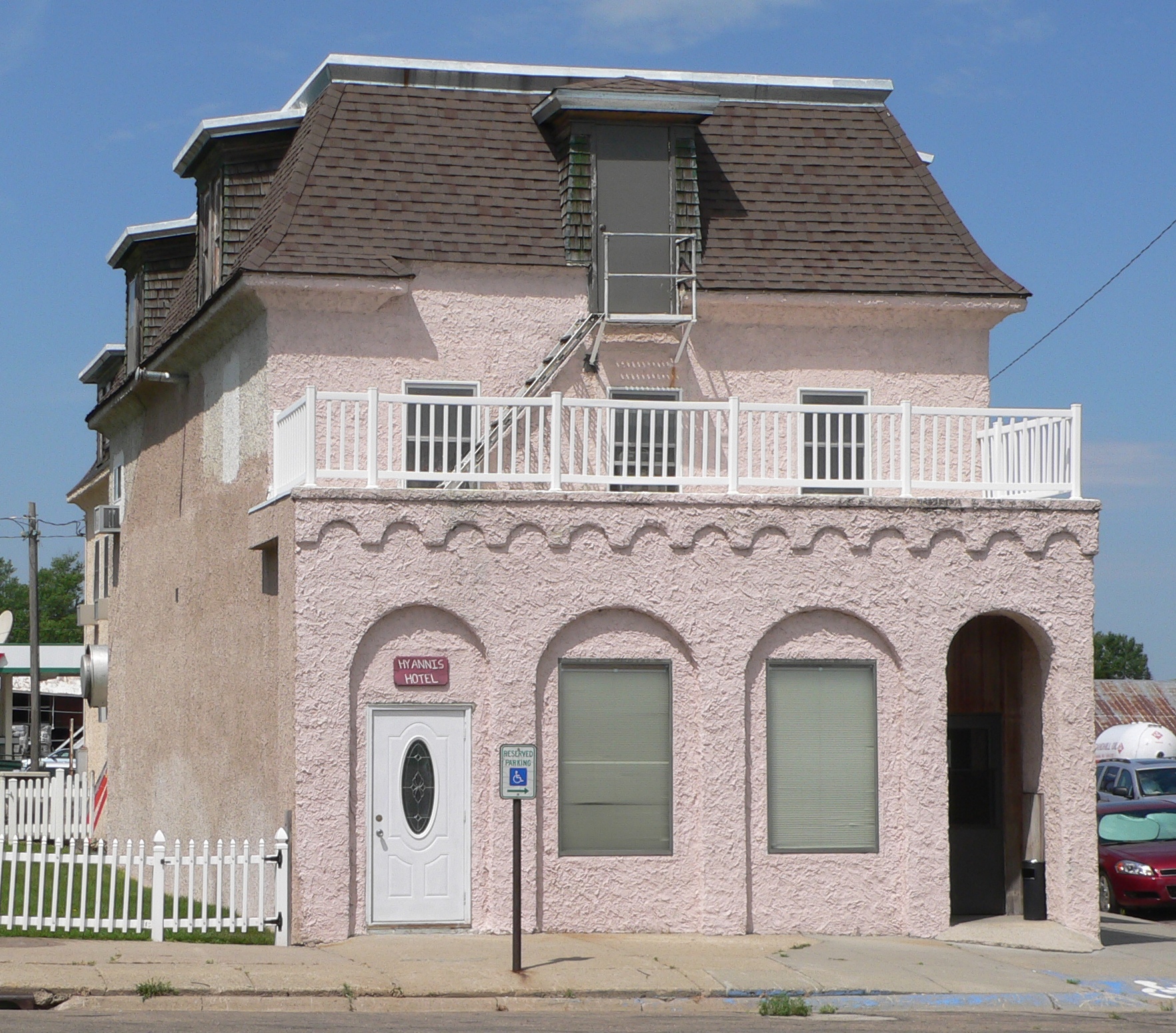
[3] Landmark name [4] Image Date listed Location City or town Summary 1 Hotel DeFair 
October 29, 1976 Nebraska Highway 2 and Main St.
42°00′03″N 101°45′43″W / 42.000833°N 101.761944°WHyannis Greeley County
[3] Landmark name [4] Image Date listed Location City or town Summary 1 Church of the Visitation of the Blessed Virgin Mary 
February 23, 1984 Off Nebraska Highway 56
41°30′41″N 98°28′16″W / 41.511389°N 98.471111°WO'Connor 2 First Presbyterian Church 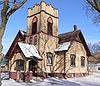
April 14, 2004 260 S. Pine St.
41°41′13″N 98°21′31″W / 41.686944°N 98.358611°WSpalding 3 Greeley County Courthouse 
January 10, 1990 Kildare St.
41°32′53″N 98°31′47″W / 41.548056°N 98.529722°WGreeley Center 4 Scotia Chalk Building 
October 11, 1979 Off Nebraska Highway 22
41°27′54″N 98°42′09″W / 41.465°N 98.7025°WScotia 5 Spalding Power Plant and Dam 
December 31, 1998 10 County Rd.
41°40′54″N 98°21′37″W / 41.681667°N 98.360278°WSpalding 6 St. Michael's Catholic Church Complex 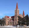
December 15, 1983 Northeast of Greeley Center
41°41′25″N 98°21′46″W / 41.690278°N 98.362778°WSpalding Hall County
Hamilton County
[3] Landmark name [4] Image Date listed Location City or town Summary 1 Hamilton County Courthouse 
July 29, 1985 Courthouse Sq.
40°52′04″N 98°00′06″W / 40.867778°N 98.001667°WAurora 2 IOOF Opera House 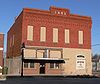
September 28, 1988 N. 3rd and B Sts.
40°52′46″N 97°53′09″W / 40.879444°N 97.885833°WHampton 3 St. Johannes Danske Lutherske Kirke 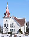
November 13, 1992 2170 N. T Rd.
41°00′00″N 97°56′21″W / 41.0°N 97.939167°WMarquette 4 Streeter-Peterson House 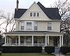
November 29, 1991 1121 9th St.
40°52′05″N 98°00′24″W / 40.868056°N 98.006667°WAurora 5 United Brethren Church 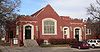
December 3, 2008 1103 K St.
40°51′58″N 98°00′15″W / 40.86617°N 98.0041°WAurora Former listings
Landmark name Image Date listed/removed Location City or Town Summary 1 Kathleen Hearn Building 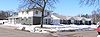
Listed August 1, 1984
Removed July 14, 201110th and O Sts.
40°52′13″N 98°0′22″W / 40.87028°N 98.00611°WAurora 2 Royal Highlanders Building 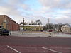
Listed September 12, 1985
Removed July 14, 20111235 M St.
40°52′8″N 98°0′4″W / 40.86889°N 98.00111°WAurora Damaged by fire July 10, 2008[9] and subsequently demolished.[10] Harlan County
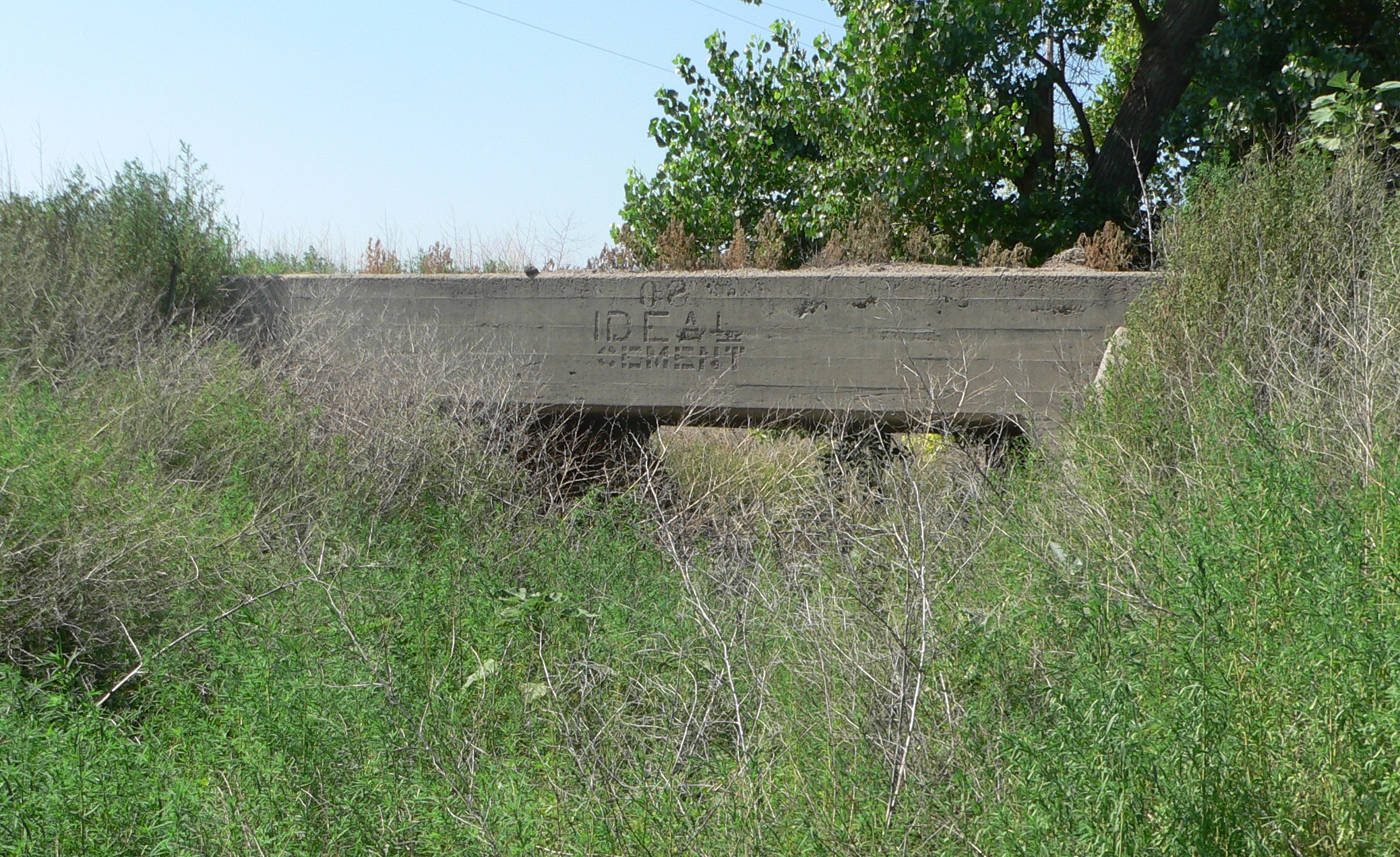
[3] Landmark name [4] Image Date listed Location City or town Summary 1 Prairie Dog Creek Bridge 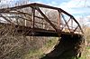
June 29, 1992 Township road over Prairie Dog Creek, 8.5 miles south and 1 mile west of Orleans
40°00′16″N 99°28′48″W / 40.004444°N 99.48°WOrleans 2 Sappa Creek Bridge 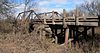
June 29, 1992 County road over Sappa Creek, 2 miles east of Stamford
40°07′53″N 99°33′17″W / 40.131389°N 99.554722°WStamford 3 Turkey Creek Bridge 
June 29, 1992 County road over Turkey Creek, 2 miles west and 1 mile south of Ragan
40°17′33″N 99°19′57″W / 40.2925°N 99.3325°WRagan Hayes County
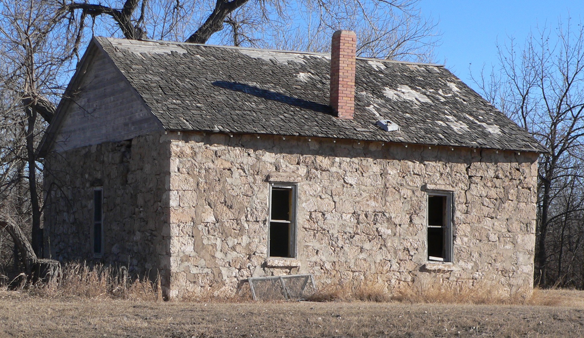
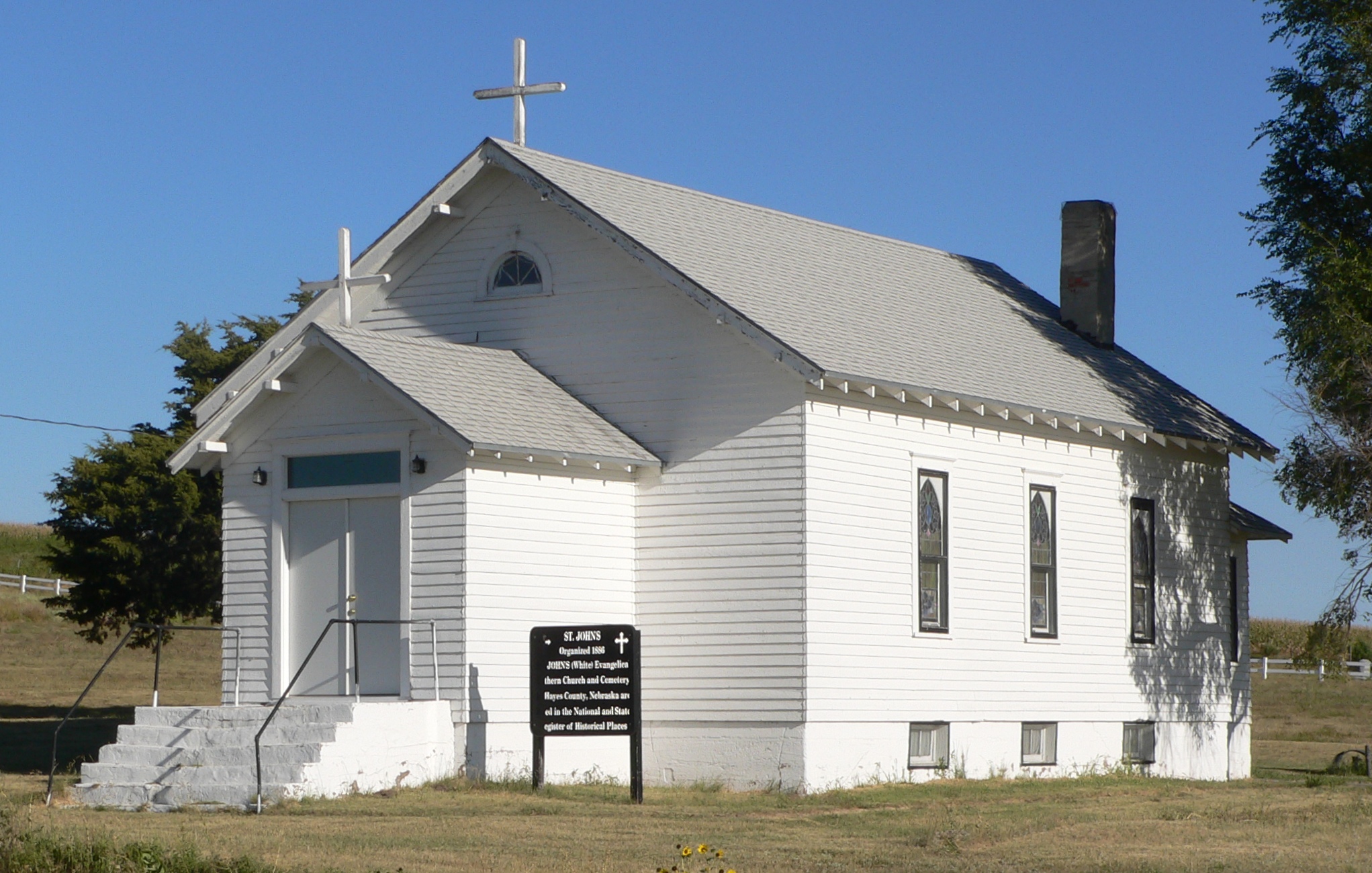
[3] Landmark name [4] Image Date listed Location City or town Summary 1 J.M. Daniel House 
May 30, 1985 Address Restricted Hamlet 2 J.M. Daniel School-District No. 3 
May 30, 1985 Address Restricted Hamlet 3 St. John's Evangelical Lutheran German Church and Cemetery 
May 16, 1985 Northeast of Hayes Center
40°34′10″N 100°50′23″W / 40.56944°N 100.83972°W[11]Hayes Center Hitchcock County
[3] Landmark name [4] Image Date listed Location City or town Summary 1 Bridge 
June 29, 1992 County road over an intermittent stream, 2 miles east of Stratton
40°09′07″N 101°11′29″W / 40.151944°N 101.191389°WStratton 2 Massacre Canyon Battlefield 
July 25, 1974 Address Restricted Trenton 3 St. Paul's Methodist Protestant Church 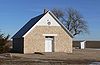
January 25, 1979 South of Culbertson on Nebraska Highway 17
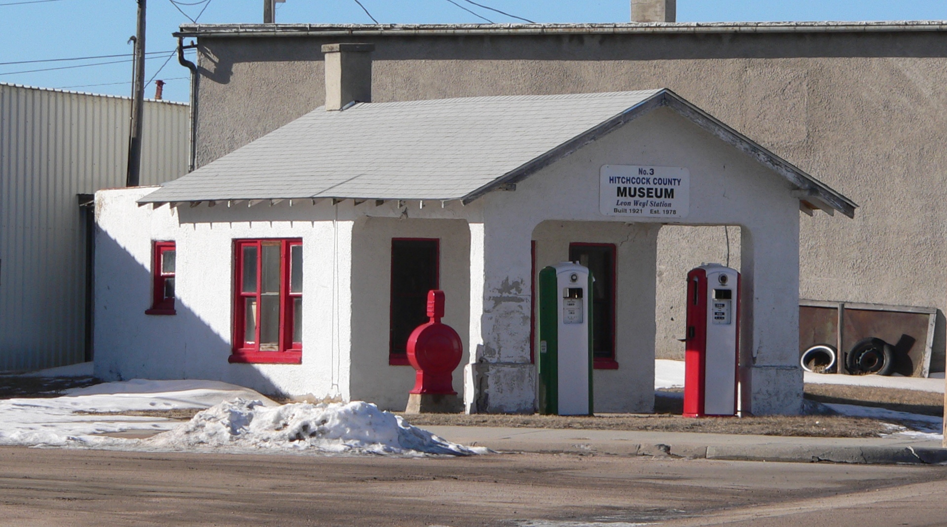
40°06′52″N 100°48′55″W / 40.114444°N 100.815278°WCulbertson 4 Weyl Service Station 
July 11, 2002 124 E. D St.
40°10′32″N 101°00′41″W / 40.175556°N 101.011389°WTrenton Holt County
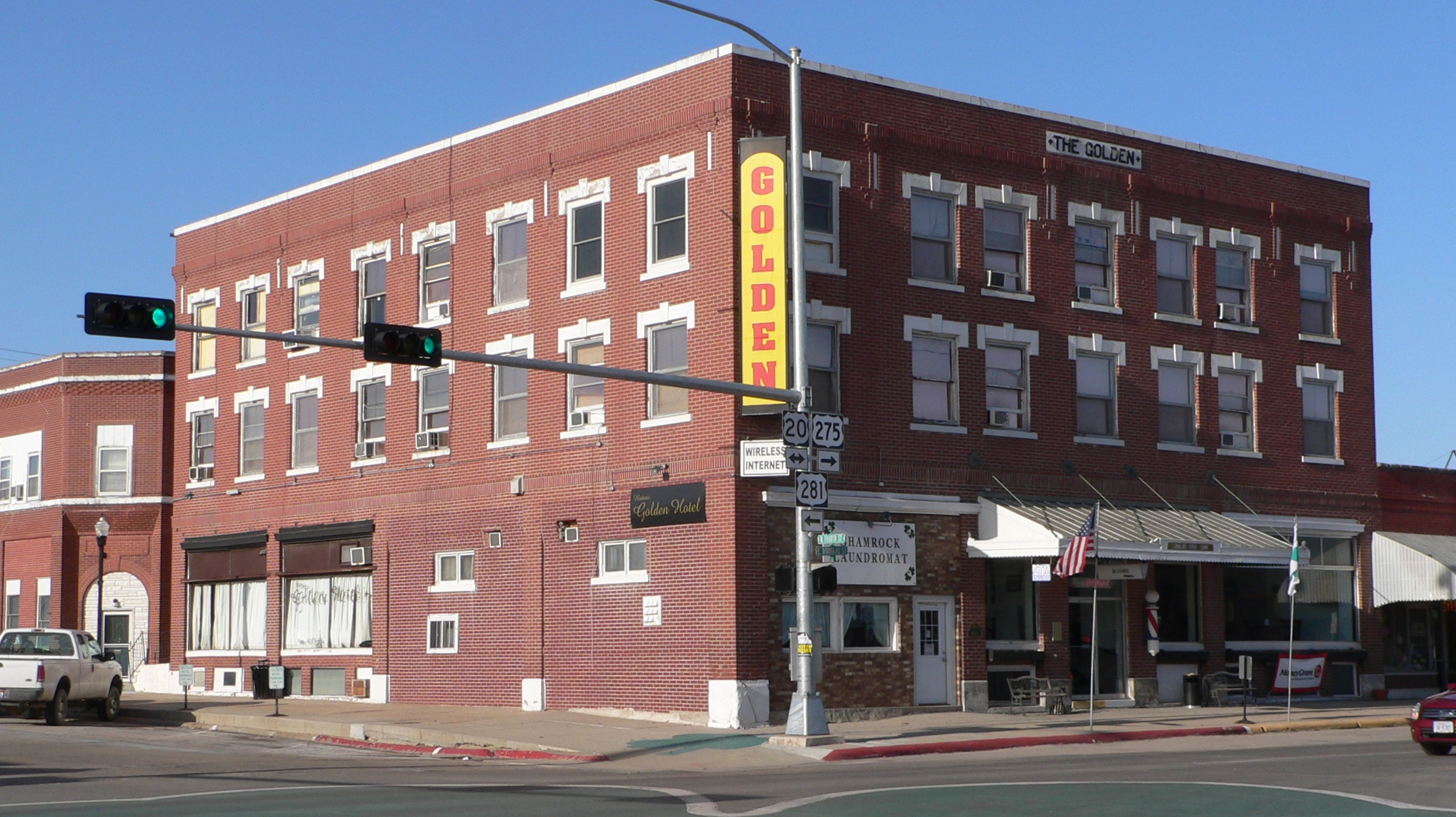
[3] Landmark name [4] Image Date listed Location City or town Summary 1 Eagle Creek Archeological Site October 1, 1974 Address Restricted O'Neill 2 Golden Hotel 
November 27, 1989 406 E. Douglas St.
42°27′29″N 98°38′49″W / 42.458056°N 98.646944°WO'Neill 3 Holt County Courthouse 
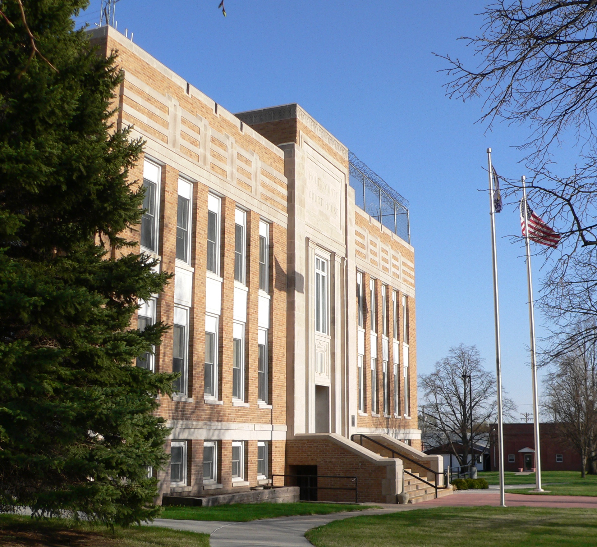
July 5, 1990 N. 4th St. between E. Clay and Benton Sts.
42°27′34″N 98°38′49″W / 42.459444°N 98.646944°WO'Neill 4 Old Nebraska State Bank Building 
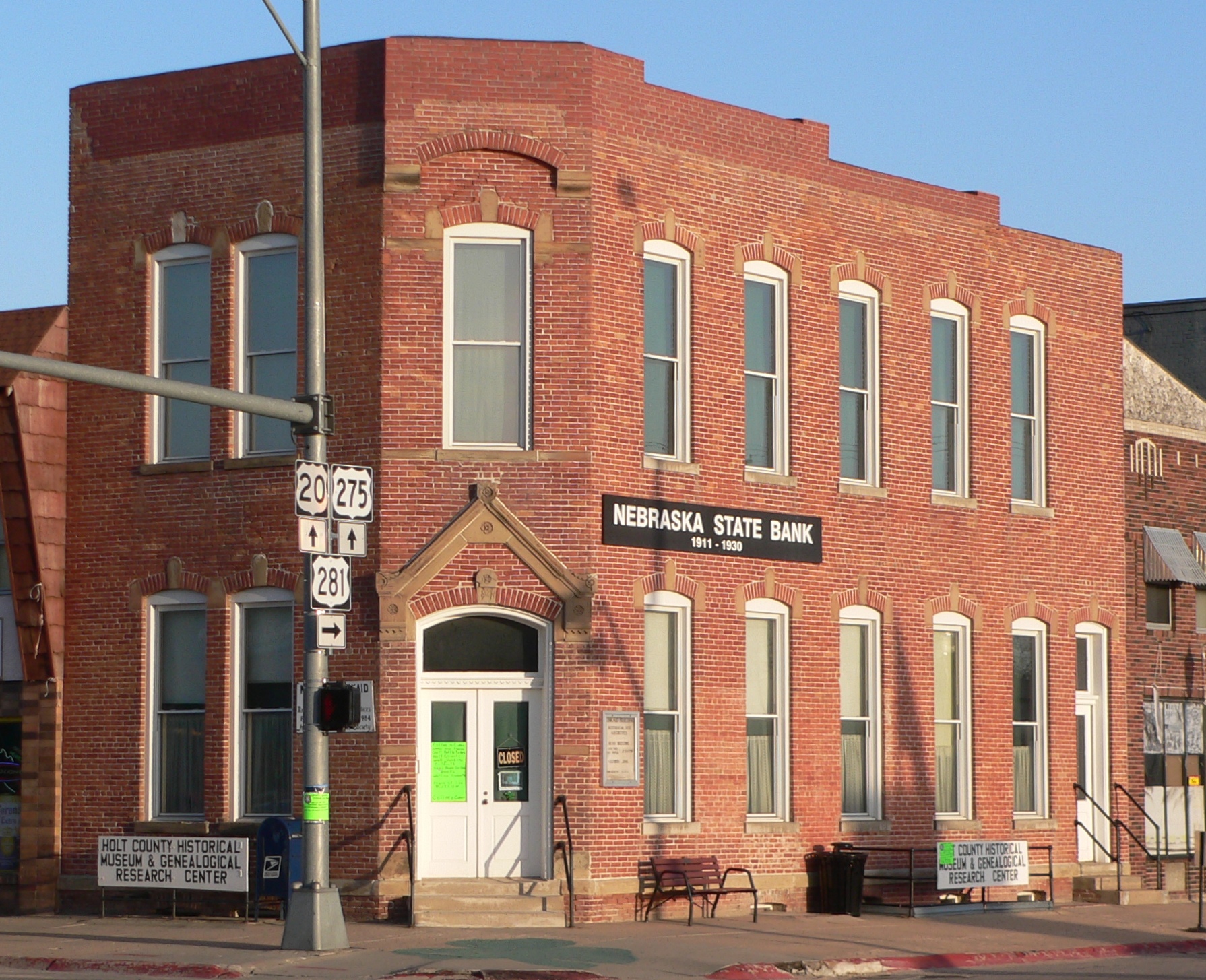
October 1, 1974 Douglas and 4th Sts.
42°27′26″N 98°38′49″W / 42.457222°N 98.646944°WO'Neill 5 Redbird I Site November 21, 1974 Address Restricted Redbird 6 Brantly Sturdevant House 
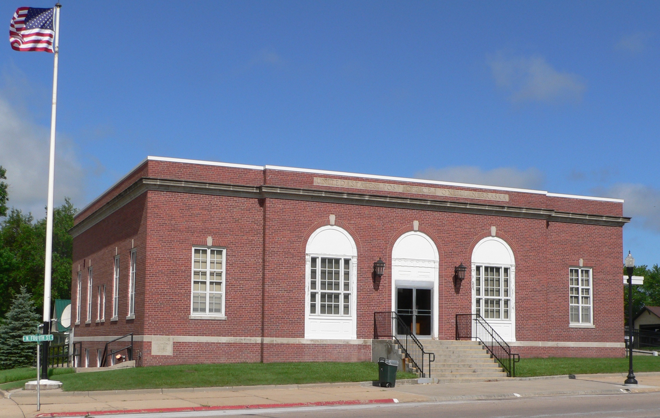
March 25, 1999 308 S. Main St. Atkinson 7 US Post Office-O'Neill 
May 11, 1992 204 N. 4th St.
42°27′33″N 98°38′52″W / 42.459167°N 98.647778°WO'Neill Hooker County
[3] Landmark name [4] Image Date listed Location City or town Summary 1 Hooker County Courthouse 
January 10, 1990 Cleveland Ave. between Railroad and 1st Sts.
42°02′33″N 101°02′43″W / 42.0425°N 101.045278°WMullen 2 Humphrey Archeological Site January 21, 1974 Address Restricted Mullen 3 Kelso Site January 21, 1974 Address Restricted Mullen Howard County
[3] Landmark name [4] Image Date listed Location City or town Summary 1 Columbia Hall 
July 22, 2005 Junction of Nebraska Highway 58 and W. Roger Wetsch Ave.
41°07′06″N 98°32′50″W / 41.118333°N 98.547222°WDannebrog 2 Coufal Site October 15, 1966 Address Restricted Cotesfield 3 Dannevirke Danish Lutheran Church and Community Hall 
June 25, 1999 Dannervirke Rd. and Wausa
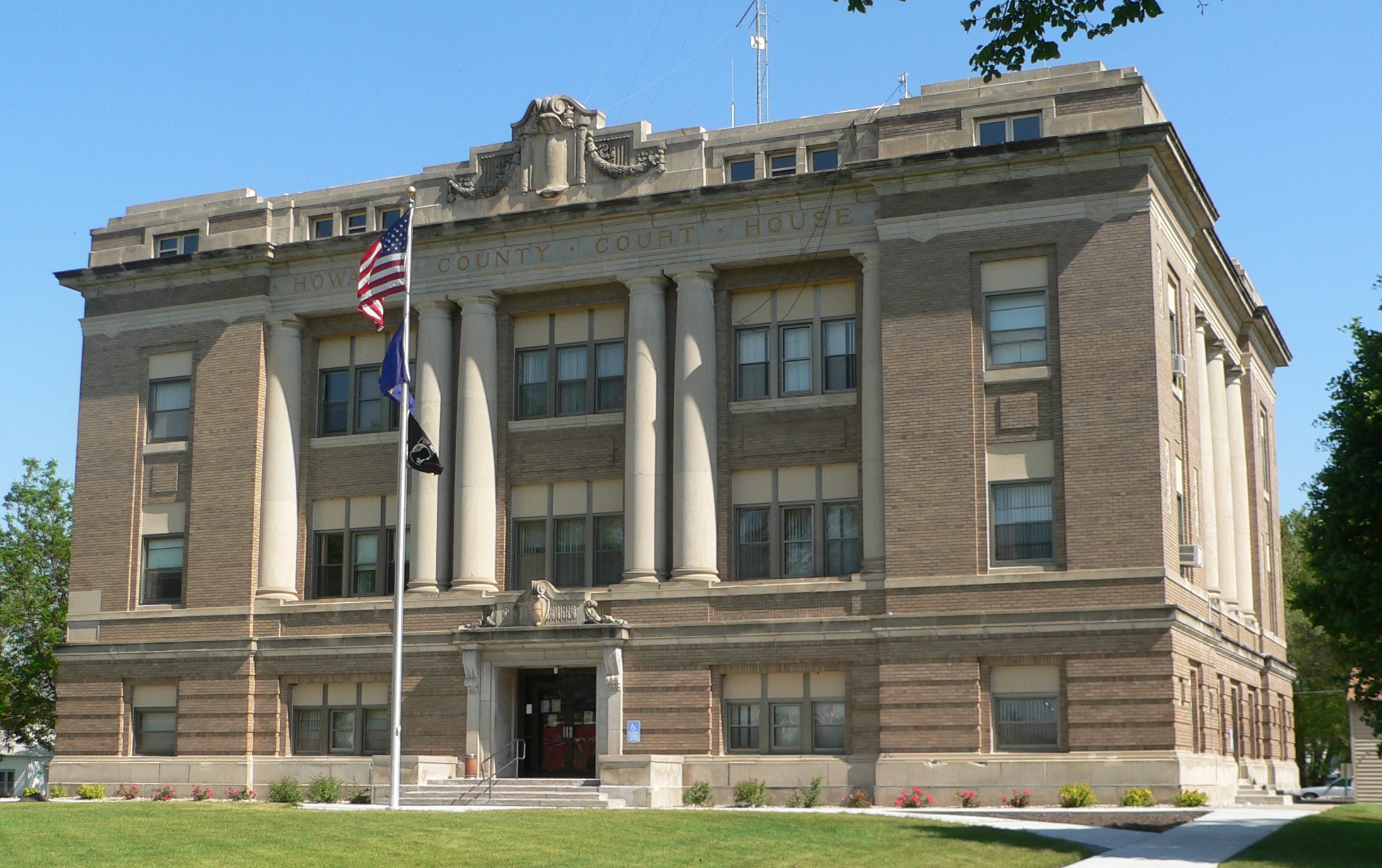
41°19′19″N 98°42′29″W / 41.321944°N 98.708056°WElba 4 Howard County Courthouse 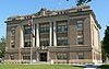
January 10, 1990 Indian St. between 6th and 7th Sts.
41°12′54″N 98°27′26″W / 41.215°N 98.457222°WSt. Paul 5 Palmer Site 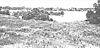
October 15, 1966 Address Restricted Palmer Extends into Merrick County 6 St. Peder's Dansk Evangelical Lutheran Kirke 
March 21, 2007 1796 7th Ave.
41°08′05″N 98°36′48″W / 41.134722°N 98.613333°WNysted Jefferson County
Johnson County
[3] Landmark name [4] Image Date listed Location City or town Summary 1 Johnson County Courthouse 
January 10, 1990 Courthouse Sq.
40°22′02″N 96°11′41″W / 40.367222°N 96.194722°WTecumseh 2 Keim Stone Arch Bridge 
June 29, 1992 County road 624 Av over an unnamed stream just south of 729 Rd,[12] 3 miles east and 1 mile north of Tecumseh
40°23′32″N 96°07′22″W / 40.392222°N 96.122778°WTecumseh 3 Tecumseh Historic District 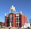
June 20, 1975 Irregular pattern roughly bounded by Atchison and Nebraska railroad tracks, 9th and Washington Sts., and U.S. Route 136
40°22′16″N 96°11′33″W / 40.371111°N 96.1925°WTecumseh 4 Tecumseh Opera House September 28, 1988 123 S. 3rd
40°22′03″N 96°11′45″W / 40.3675°N 96.195833°WTecumseh 5 George Townsend House November 2, 2006 61872 U.S. Highway 136
40°21′54″N 96°14′52″W / 40.365°N 96.247778°WTecumseh Kearney County
[3] Landmark name [4] Image Date listed Location City or town Summary 1 Eddie Eugene and Harriet Cotton Carpenter Farmstead 
February 25, 1993 Approximately 0.5 miles west of Lowell
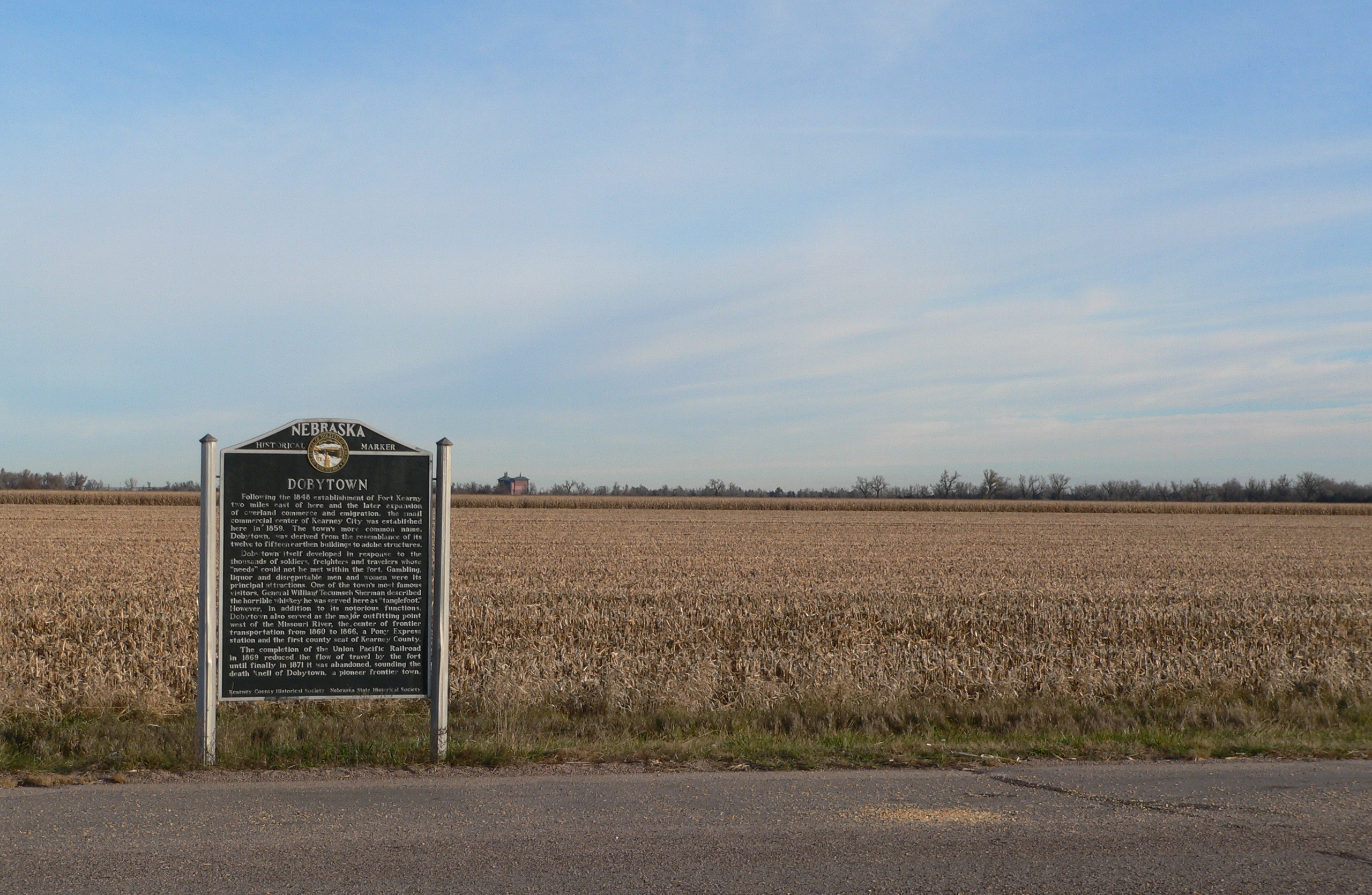
40°38′54″N 98°51′31″W / 40.648333°N 98.858611°WLowell 2 Dobytown 
December 16, 1974 Southwest of Kearney
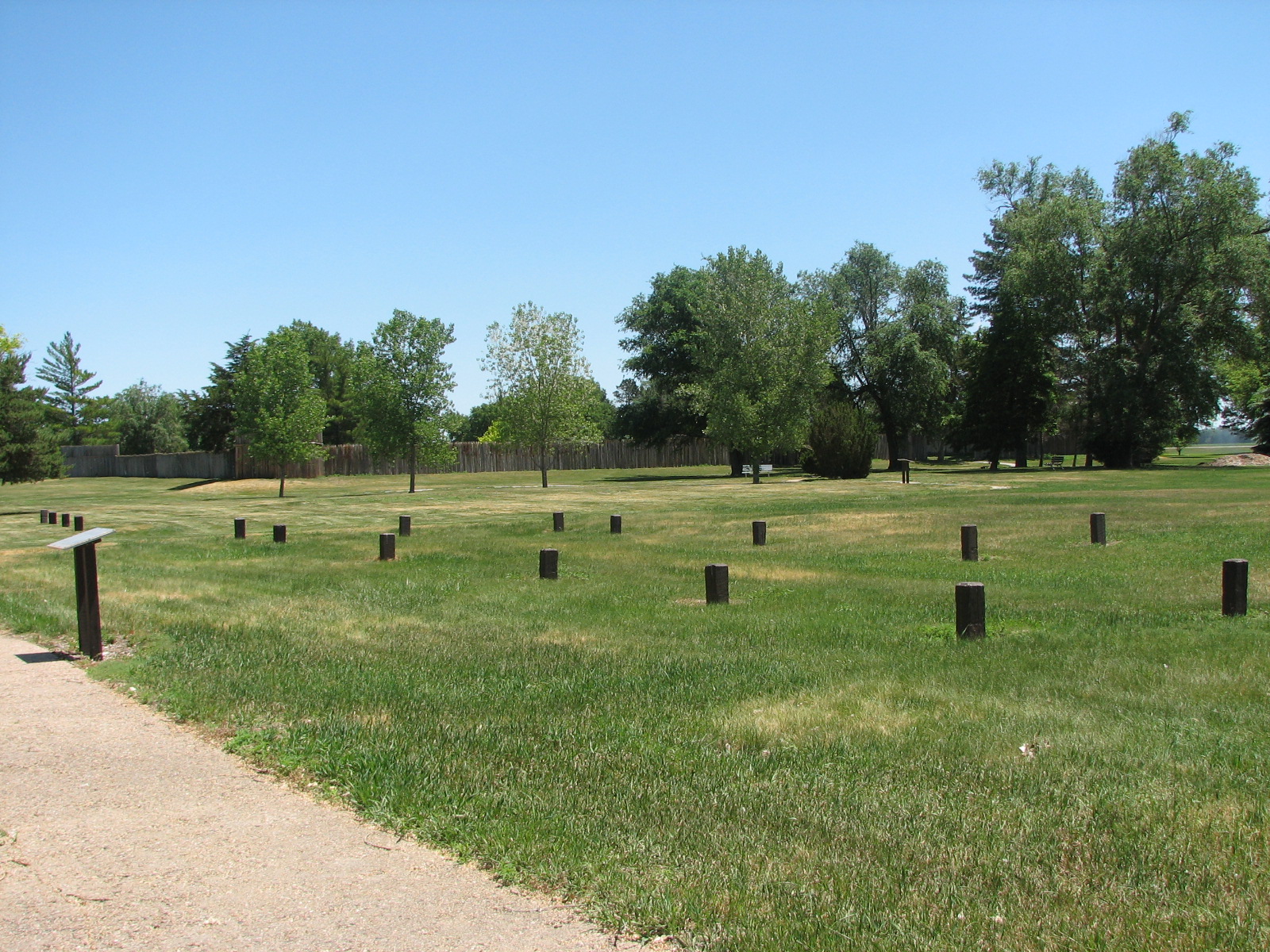
40°38′30″N 99°2′51″W / 40.64167°N 99.0475°W[13]Kearney 3 Fort Kearney 
July 2, 1971 2 miles west of Newark on Nebraska Highway 10
40°38′36″N 99°00′25″W / 40.643333°N 99.006944°WNewark 4 Kearney County Courthouse 
January 10, 1990 5th St. between Colorado and Minden Aves.
40°29′56″N 98°56′53″W / 40.498889°N 98.948056°WMinden 5 Salem Swedish Methodist Episcopal Church 
July 29, 1982 Southwest of Axtell
40°27′11″N 99°10′42″W / 40.453056°N 99.178333°WAxtell 6 W. T. Thorne Building 
September 12, 1985 5th St.
40°29′59″N 98°56′54″W / 40.499722°N 98.948333°WMinden 7 US Post Office-Minden 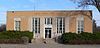
May 11, 1992 410 N. Minden St.
40°29′55″N 98°56′49″W / 40.498611°N 98.946944°WMinden Keith County
Keya Paha County
[3] Landmark name [4] Image Date listed Location City or town Summary 2 Carns State Aid Bridge 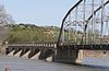
June 29, 1992 County road over the Niobrara River, 10.8 miles northeast of Bassett
42°44′01″N 99°28′52″W / 42.733611°N 99.481111°WBassett Extends into Rock County 1 Keya Paha County High School 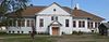
December 1, 1986 Off Nebraska Highway 12
42°49′32″N 99°44′48″W / 42.825556°N 99.746667°WSpringview 2 Lewis Bridge 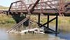
June 29, 1992 County road over the Keya Paha River, 13.6 miles northeast of Springview
42°59′53″N 99°38′08″W / 42.998056°N 99.635556°WSpringview Extends into Tripp County, South Dakota Kimball County
[3] Landmark name [4] Image Date listed Location City or town Summary 1 Fraternal Hall 
February 28, 1983 2nd and Chestnut Sts.
41°14′13″N 103°39′46″W / 41.236944°N 103.662778°WKimball 2 Gridley-Howe-Faden-Atkins Farmstead 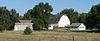
July 9, 1997 1 mile north of the junction of Nebraska Highway 71 and State St.
41°14′48″N 103°39′48″W / 41.246667°N 103.663333°WKimball 3 Maginnis Irrigation Aqueduct 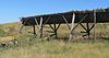
October 21, 1994 South of U.S. Highway 30, 5 miles west of Kimball
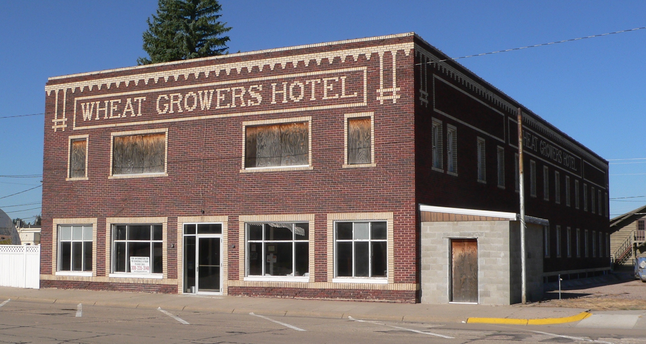
41°13′45″N 103°46′40″W / 41.229167°N 103.777778°WKimball 4 Wheat Growers Hotel 
July 11, 2002 102 S. Oak St.
41°14′18″N 103°39′36″W / 41.238333°N 103.66°WKimball Former listings
Landmark name Image Date listed/removed Location City or Town Summary 1 Stone Building 
Listed March 31, 1983
Removed July 14, 2011126 S. Chestnut St.
41°14′15″N 103°39′46″W / 41.2375°N 103.66278°WKimball Destroyed by fire January 2, 2010[14] Knox County
Lancaster County
Lincoln County
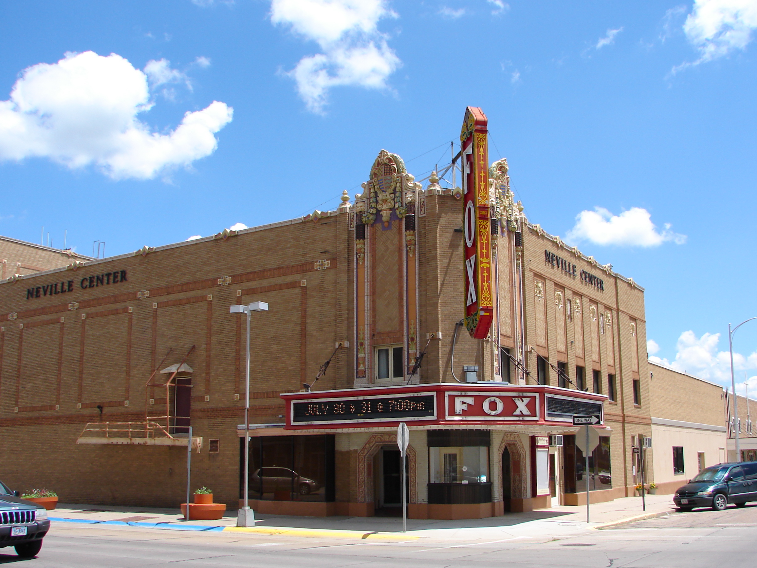
[3] Landmark name [4] Image Date listed Location City or town Summary 1 Fox Theatre 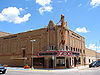
May 9, 1985 301 E. 5th
41°08′14″N 100°45′36″W / 41.137222°N 100.76°WNorth Platte 2 Hotel Yancey 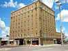
May 9, 1985 221 E. 5th St.
41°08′15″N 100°45′37″W / 41.1375°N 100.760278°WNorth Platte 3 Johnston Memorial Building 
March 20, 1986 Off Nebraska Highway 25
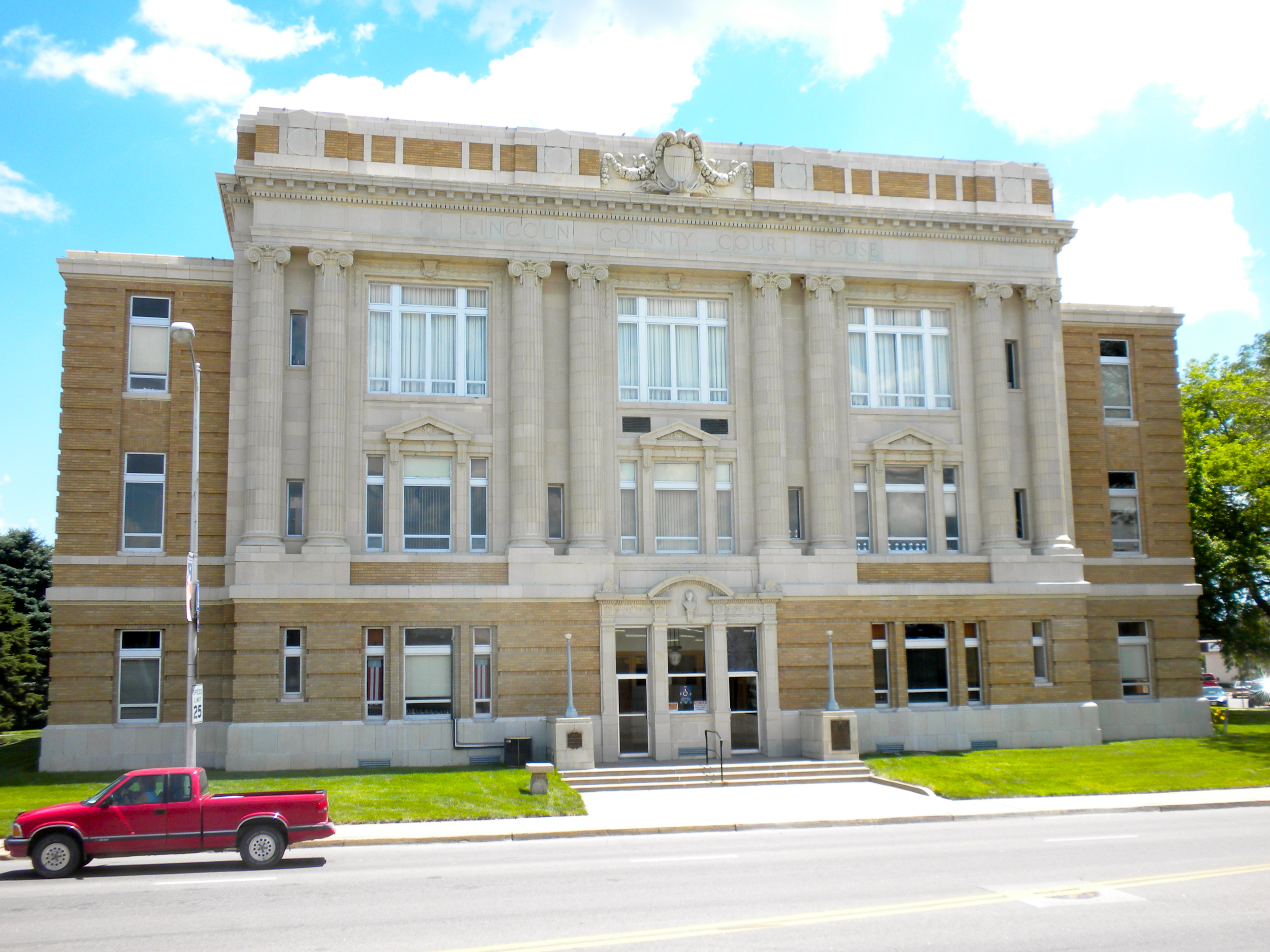
40°50′22″N 101°09′52″W / 40.839444°N 101.164444°WWallace 4 Lincoln County Courthouse 
January 10, 1990 Dewey St. between 3rd and 4th Sts.
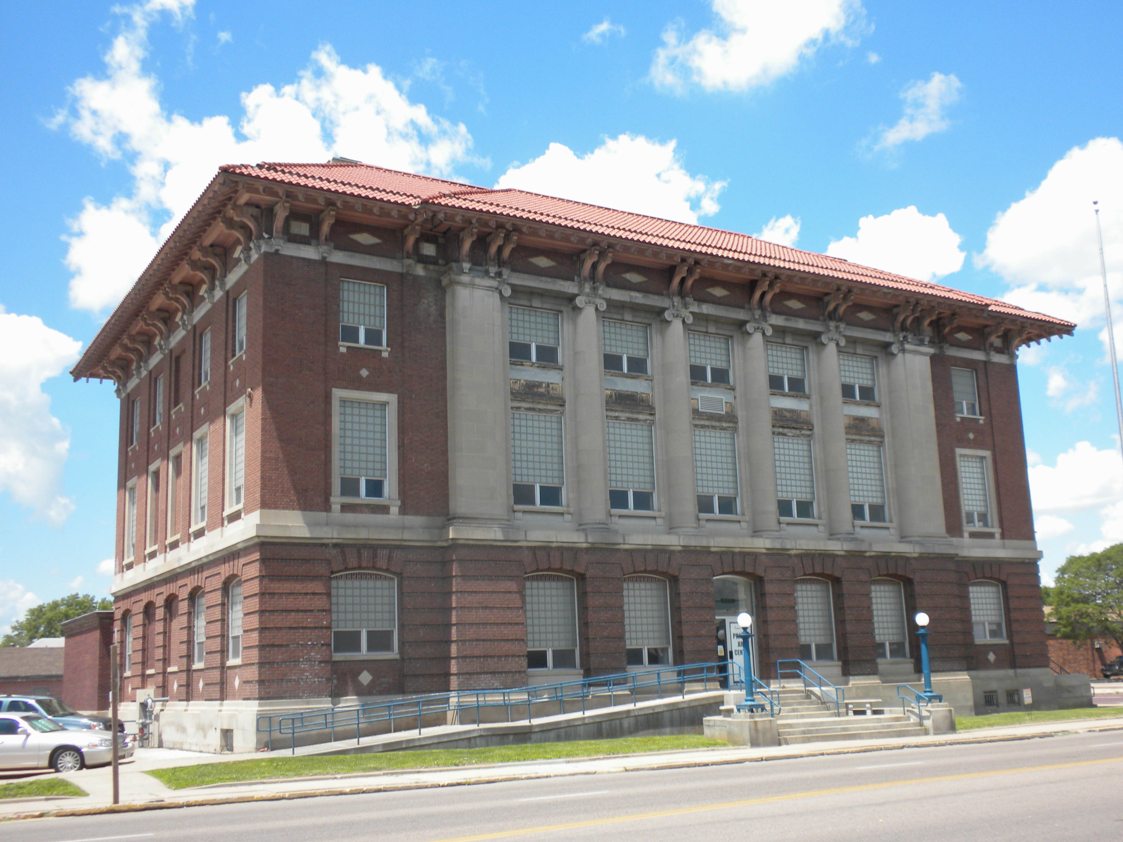
41°08′10″N 100°45′45″W / 41.136111°N 100.7625°WNorth Platte 5 North Platte US Post Office and Federal Building 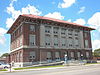
March 4, 2009 416 North Jeffers Street
41°08′12″N 100°45′48″W / 41.136703°N 100.763247°WNorth Platte 6 O'Fallons Bluff 
July 12, 1974 Southeast of Sutherland
41°08′11″N 101°05′41″W / 41.136389°N 101.094722°WSutherland 7 Scout's Rest Ranch 
January 30, 1978 Northwest of North Platte off U.S. Route 30
41°09′48″N 100°47′42″W / 41.163333°N 100.795°WNorth Platte 8 Sutherland State Aid Bridge 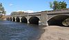
June 29, 1992 County road over the North Platte River, 4.2 miles north of Sutherland
41°12′36″N 101°07′02″W / 41.21°N 101.117222°WSutherland Logan County
There are no properties listed on the National Register of Historic Places in Logan County.
Loup County
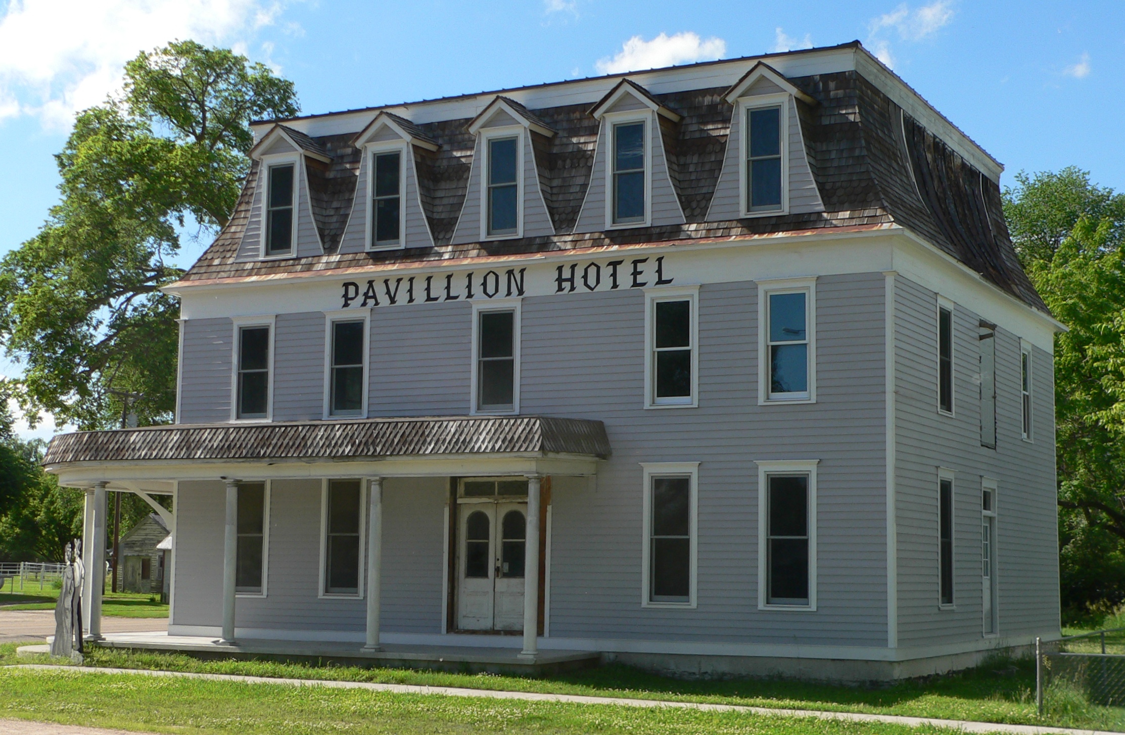
[3] Landmark name [4] Image Date listed Location City or town Summary 1 Pavillion Hotel 
November 27, 1989 Main St. Square
41°46′17″N 99°22′44″W / 41.771389°N 99.378889°WTaylor 2 Thomas and Mary Williams Homestead December 31, 1998 Approximately 0.5 miles east of Taylor, off a gravel road
41°46′23″N 99°22′18″W / 41.773056°N 99.371667°WTaylor Madison County
[3] Landmark name [4] Image Date listed Location City or town Summary 1 First United Presbyterian Church 
December 3, 2008 104 E. 4th St.
41°49′38″N 97°27′15″W / 41.827278°N 97.454111°WMadison 2 Hotel Norfolk 
December 1, 1988 108 N. 4th St.
42°01′59″N 97°24′40″W / 42.033056°N 97.411111°WNorfolk 3 Karl Stefan Memorial Airport Administration Building 
July 11, 2002 4100 S. 13th St.
41°59′05″N 97°25′47″W / 41.984722°N 97.429722°WNorfolk 4 Norfolk Carnegie Library 
December 31, 1998 803 W. Norfolk Ave.
42°01′57″N 97°25′04″W / 42.0325°N 97.417778°WNorfolk 5 St. Leonard's Catholic Church 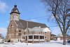
November 27, 1989 502-504 S. Nebraska St.
41°49′33″N 97°27′10″W / 41.825833°N 97.452778°WMadison 6 U.S. Post Office and Courthouse 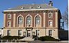
October 9, 1974 125 S. 4th St.
42°01′54″N 97°24′39″W / 42.031667°N 97.410833°WNorfolk 7 John Wesley and Grace Shafer Warrick House 
November 28, 1990 4th St.
42°01′34″N 97°44′14″W / 42.026111°N 97.737222°WMeadow Grove McPherson County
There are no properties listed on the National Register of Historic Places in McPherson County. The McPherson County Courthouse was listed for a time. However, it was damaged by a tornado on July 8, 2003[15] and subsequently demolished.[16] The courthouse was removed from the Register on March 3, 2006.[17]
Merrick County
Morrill County
[3] Landmark name [4] Image Date listed Location City or town Summary 1 Camp Clarke Bridge Site November 8, 1974 West of Bridgeport
41°41′24″N 103°10′43″W / 41.69°N 103.178611°WBridgeport 2 Chimney Rock National Historic Site 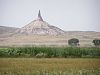
October 15, 1966 3 miles southwest of Bayard
41°42′09″N 103°20′49″W / 41.7025°N 103.346944°WBayard 3 Courthouse and Jail House Rocks 
April 24, 1973 5 miles south of Bridgeport
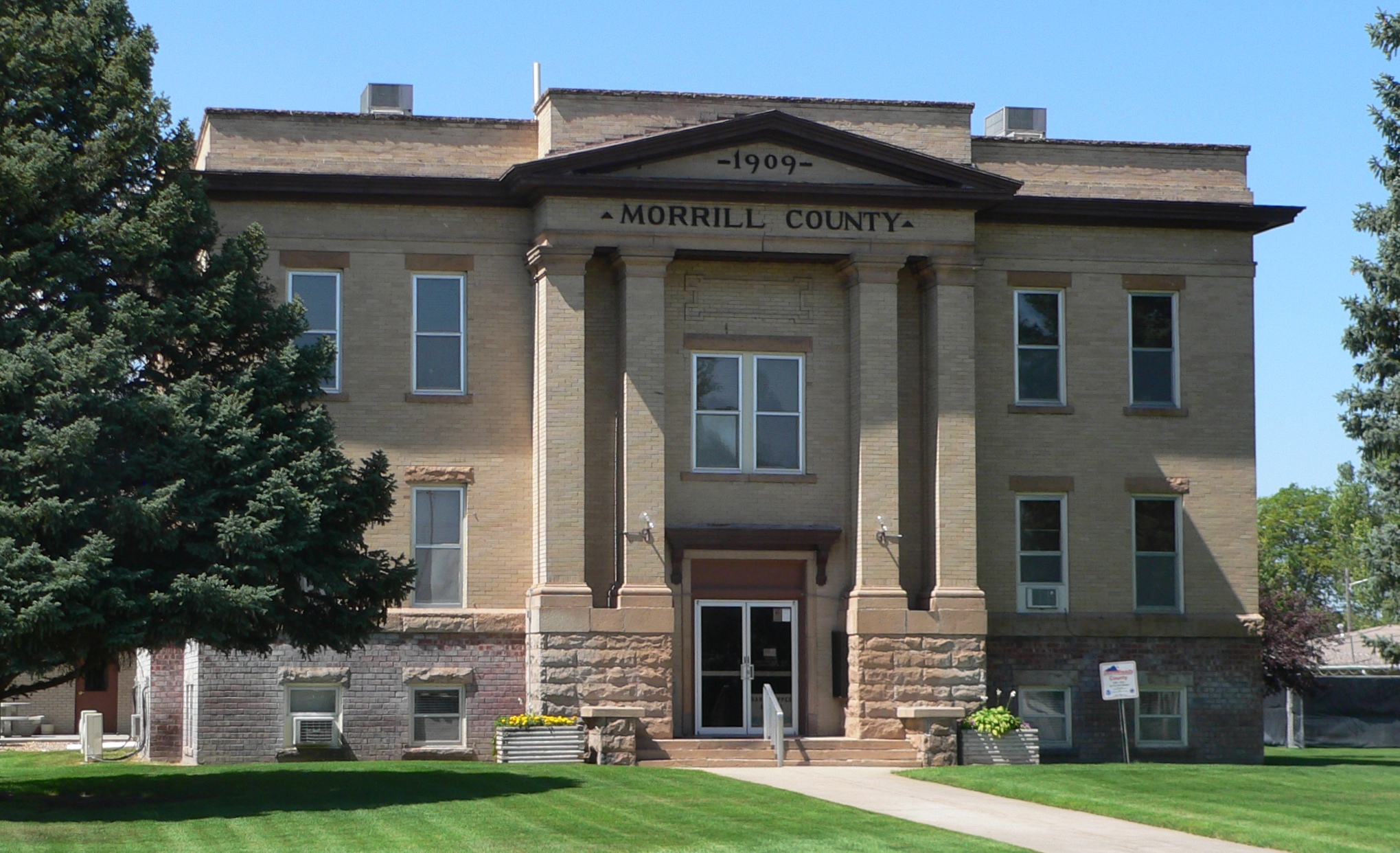
41°36′2″N 103°7′0″W / 41.60056°N 103.116667°WBridgeport 4 Morrill County Courthouse 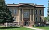
January 10, 1990 M St. between 5th and 6th Sts.
41°40′04″N 103°05′58″W / 41.667778°N 103.099444°WBridgeport 5 Mud Springs Station Archeological District April 24, 1973 Address Restricted; Boundary increase (listed September 6, 2011): Address Restricted Dalton vicinity Originally listed as "Mud Springs Pony Express Station Site"[4]; Conflict & Warfare in the North & South Platte Valleys of Nebraska, 1864-1865 MPS 6 Rush Creek Battlefield September 6, 2011 Address Restricted Broadwater vicinity Conflict & Warfare in the North & South Platte Valleys of Nebraska, 1864-1865 MPS 7 Schuetz Log Cabin March 21, 2011 HC 82 Box 103 Dalton vicinity Nance County
Nemaha County
Nuckolls County
[3] Landmark name [4] Image Date listed Location City or town Summary 1 Wallace Warren and Lillian Genevieve Bradshaw Kendall House 
December 10, 1993 412 E. 7th St.
40°01′24″N 98°04′00″W / 40.023333°N 98.066667°WSuperior 2 Lawrence Opera House 
September 28, 1988 2nd and Calvert Sts.
40°17′31″N 98°15′36″W / 40.291944°N 98.26°WLawrence 3 Nelson Cemetery Walk 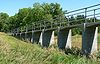
December 5, 2002 Northeast edge of Nelson parallel to a county road
40°12′20″N 98°04′39″W / 40.205556°N 98.0775°WNelson 4 Nuckolls County Courthouse 
January 10, 1990 150 S. Main St.
40°12′14″N 98°04′04″W / 40.203889°N 98.067778°WNelson 5 Stewart Bridge June 29, 1992 County road over Big Sandy Creek, 1 mile east and 8 miles north of Oak
40°21′02″N 97°52′38″W / 40.350556°N 97.877222°WOak 6 Superior Downtown Historic District 
January 21, 1994 Roughly along Central and Commercial Aves. from 3rd to 5th Sts. and 3rd, 4th and 5th from Central to Commercial
40°01′11″N 98°04′13″W / 40.019722°N 98.070278°WSuperior Otoe County
Pawnee County
Perkins County
[3] Landmark name [4] Image Date listed Location City or town Summary 1 Grant City Park 
February 16, 1996 Bounded by Central Ave., 9th St., an alley line, and 8th St.
40°50′52″N 101°43′25″W / 40.847778°N 101.723611°WGrant 2 Grant Commercial Historic District 
February 16, 1996 Roughly Central Ave. from 1st St. to 4th St.
40°50′28″N 101°43′29″W / 40.841111°N 101.724722°WGrant 3 Perkins County Courthouse 
July 5, 1990 Lincoln St. between 2nd and 3rd Sts.
40°50′29″N 101°43′37″W / 40.841389°N 101.726944°WGrant Phelps County
[3] Landmark name [4] Image Date listed Location City or town Summary 1 Brenstrom Farmstead March 21, 2011 10417 Westside Rd. Overton vicinity 2 CB&Q Holdrege Depot 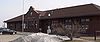
February 21, 1997 700 Ironhorse St.
40°26′09″N 99°22′14″W / 40.435833°N 99.370556°WHoldrege 3 Kinner House 
April 14, 2004 515 Tibbals
40°26′23″N 99°22′56″W / 40.439722°N 99.382222°WHoldrege 4 Phelps County Courthouse 
January 10, 1990 5th Ave. between East and West Aves.
40°26′22″N 99°22′12″W / 40.439444°N 99.37°WHoldrege Pierce County
[3] Landmark name [4] Image Date listed Location City or town Summary 1 Athletic Park Band Shell November 12, 1992 Northwestern corner of the junction of Harper and Main Sts.
42°21′15″N 97°47′34″W / 42.354167°N 97.792778°WPlainview 2 Fremont, Elkhorn and Missouri Valley Railroad Depot 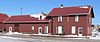
November 16, 2005 304 S. Main St.
42°20′53″N 97°47′36″W / 42.348056°N 97.793333°WPlainview 3 Meridian Highway 
November 29, 2001 4.5 miles along county roads, following 552 Ave., 853 Rd., and 551 Ave.
42°10′43″N 97°29′28″W / 42.178611°N 97.491111°WPierce 4 Plainview Carnegie Library 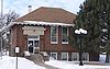
February 25, 1993 102 S. Main St.
42°21′02″N 97°47′36″W / 42.350556°N 97.793333°WPlainview 5 Willow Creek Bridge 
June 29, 1992 County road over Willow Creek, 6.5 miles south of Foster
42°10′38″N 97°40′01″W / 42.177222°N 97.666944°WFoster Bridge moved to Gilman Park in Pierce, Nebraska in 1994.[18] Platte County
Polk County
[3] Landmark name [4] Image Date listed Location City or town Summary 1 Clarks Site August 14, 1973 Address Restricted Osceola 2 Gov. John Hopwood Mickey House 
May 12, 1977 State St.
41°10′12″N 97°32′52″W / 41.17°N 97.547778°WOsceola 3 Charles H. Morrill Homestead 
June 4, 1973 0.5 miles southeast of Stromsburg on U.S. Route 81
41°06′23″N 97°35′35″W / 41.106389°N 97.593056°WStromsburg 4 Polk County Courthouse 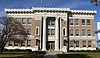
January 10, 1990 Courthouse Sq.
41°10′49″N 97°32′48″W / 41.180278°N 97.546667°WOsceola 5 Strickland Site July 3, 1996 Address Restricted Silver Creek 6 Victor E. Wilson House 
July 7, 1988 518 Main St.
41°06′57″N 97°35′54″W / 41.115833°N 97.598333°WStromsburg Red Willow County
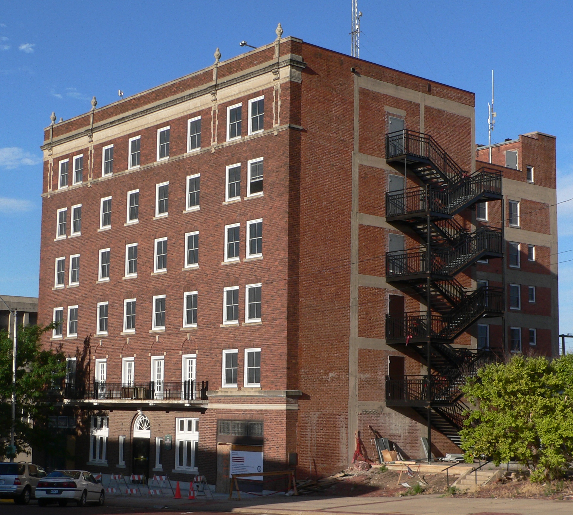
[3] Landmark name [4] Image Date listed Location City or town Summary 1 Doyle Archeological Site December 4, 1974 Address Restricted McCook 2 Keystone Hotel 
July 5, 2001 402 Norris Ave.
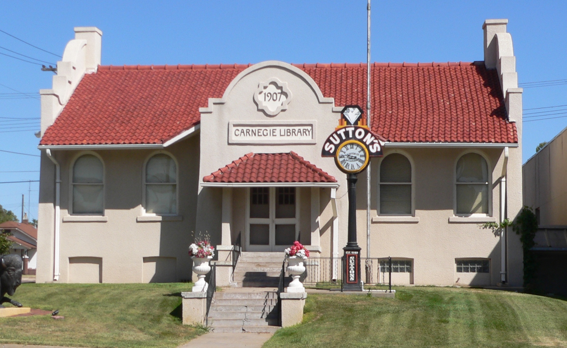
40°12′21″N 100°37′55″W / 40.205833°N 100.631944°WMcCook 3 McCook Public-Carnegie Library 
September 12, 1985 423 Norris Ave.
40°12′05″N 100°37′31″W / 40.201389°N 100.625278°WMcCook 4 McCook YMCA 
March 9, 2000 424 Norris Ave.
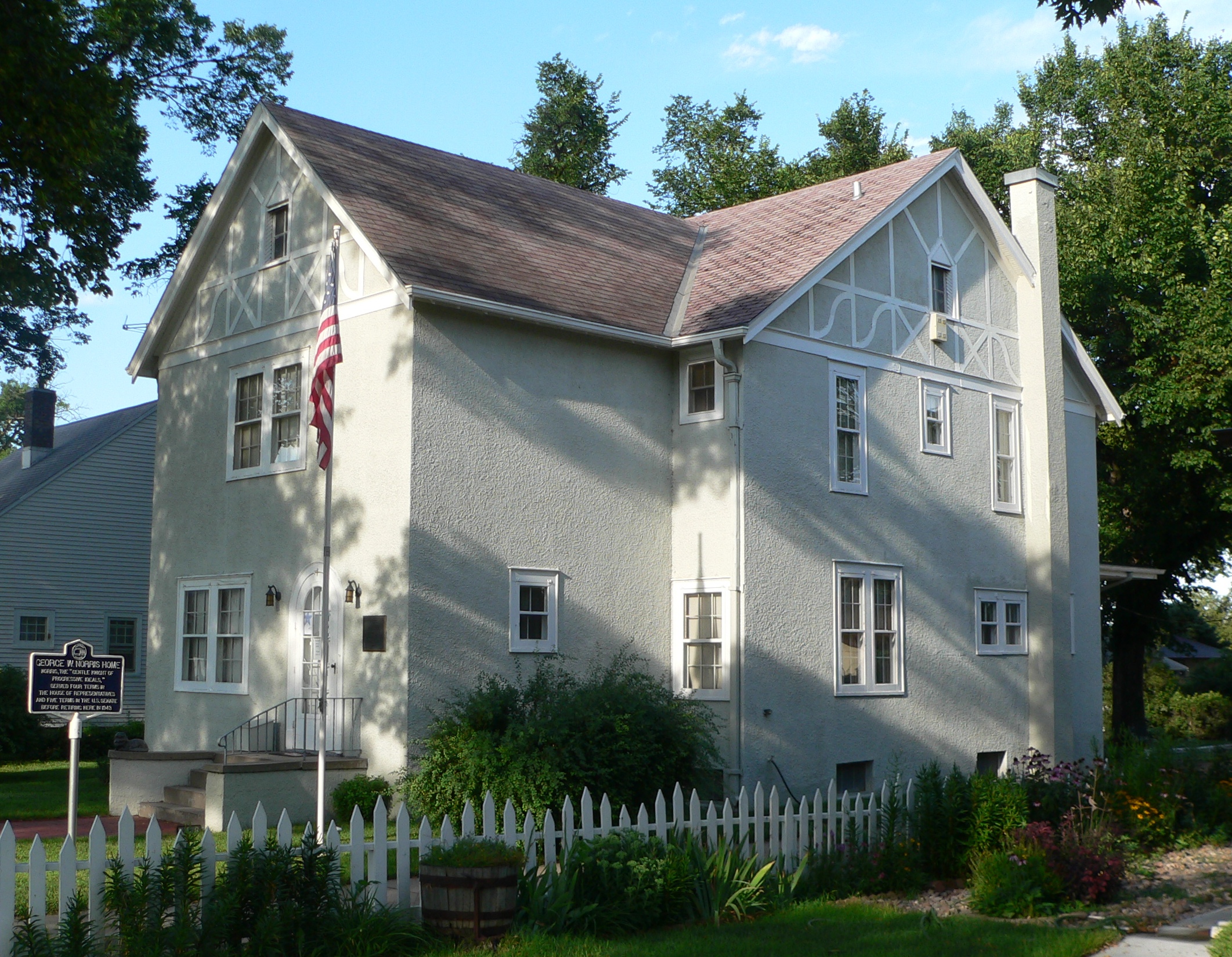
40°12′06″N 100°37′33″W / 40.201667°N 100.625833°WMcCook 5 Senator George William Norris House 
May 28, 1967 706 Norris Ave.
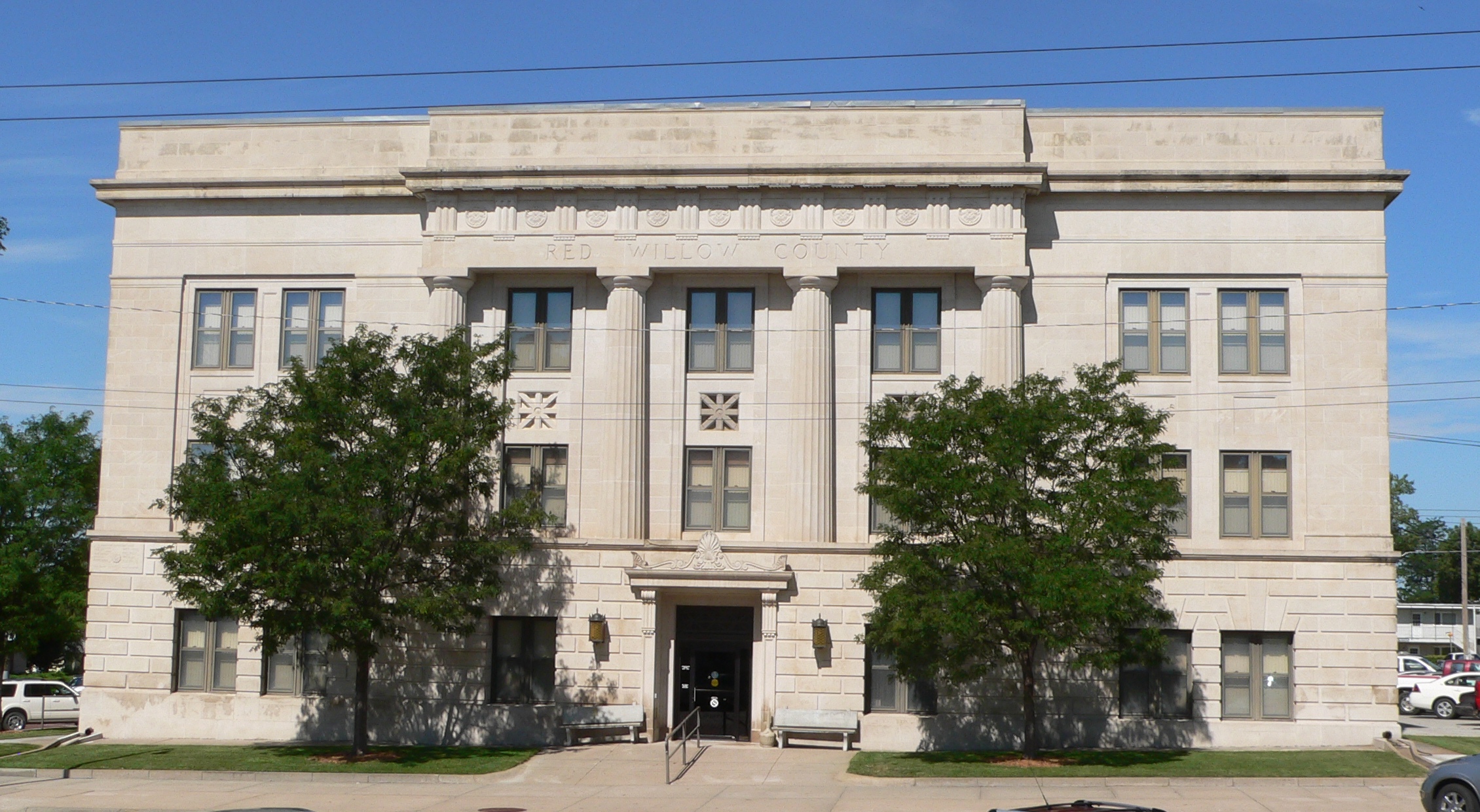
40°12′15″N 100°37′32″W / 40.204167°N 100.625556°WMcCook 6 Red Willow County Courthouse 
July 5, 1990 Northwestern corner of Norris Ave. and E. E St.
40°12′07″N 100°37′32″W / 40.201944°N 100.625556°WMcCook 7 Second-Generation Norden Bombsight Vault 
June 17, 1993 Off U.S. Route 83 northwest of McCook at the former McCook Army Air Base
40°18′29″N 100°42′13″W / 40.308056°N 100.703611°WMcCook 8 H.P. Stutton House 
May 22, 1978 602 Norris Ave.
40°12′11″N 100°37′32″W / 40.203056°N 100.625556°WMcCook Richardson County
Rock County
[3] Landmark name [4] Image Date listed Location City or town Summary 1 Bassett Lodge and Range Cafe 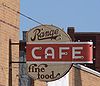
July 26, 2006 205 Clark
42°35′07″N 99°32′16″W / 42.585278°N 99.537778°WBassett 2 Carns State Aid Bridge 
June 29, 1992 County road over the Niobrara River, 10.8 miles northeast of Bassett
42°44′01″N 99°28′52″W / 42.733611°N 99.481111°WBassett Extends into Keya Paha County 3 Rock County Courthouse 
July 5, 1990 State St. between Caroline and Bertha Sts.
42°34′58″N 99°32′07″W / 42.582778°N 99.535278°WBassett Saline County
Sarpy County
Saunders County
Scotts Bluff County
Seward County
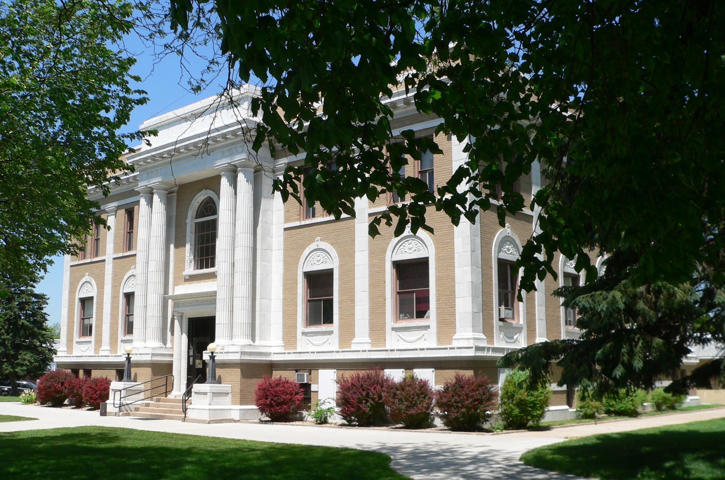
Sheridan County
Sherman County
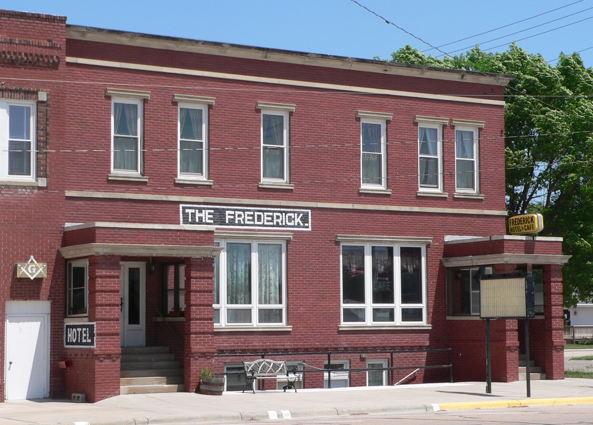
[3] Landmark name [4] Image Date listed Location City or town Summary 1 Archeological Site 25SM20 February 12, 2002 Address Restricted Loup City 2 Frederick Hotel 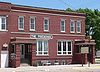
October 16, 2002 810 O St.
41°16′30″N 98°58′07″W / 41.275°N 98.968611°WLoup City 3 Loup City Township Carnegie Library 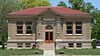
December 27, 2007 652 N St.
41°16′34″N 98°58′00″W / 41.276111°N 98.966667°WLoup City 4 Sherman County Courthouse 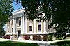
January 10, 1990 630 O St.
41°16′31″N 98°57′58″W / 41.275278°N 98.966111°WLoup City 5 Sweetwater Archeological Site July 29, 1974 Address Restricted Sweetwater Sioux County
[3] Landmark name [4] Image Date listed Location City or town Summary 1 Harold J. Cook Homestead Cabin August 24, 1977 3 miles east of Agate off Nebraska Highway 29 on the Agate Fossil Beds National Monument
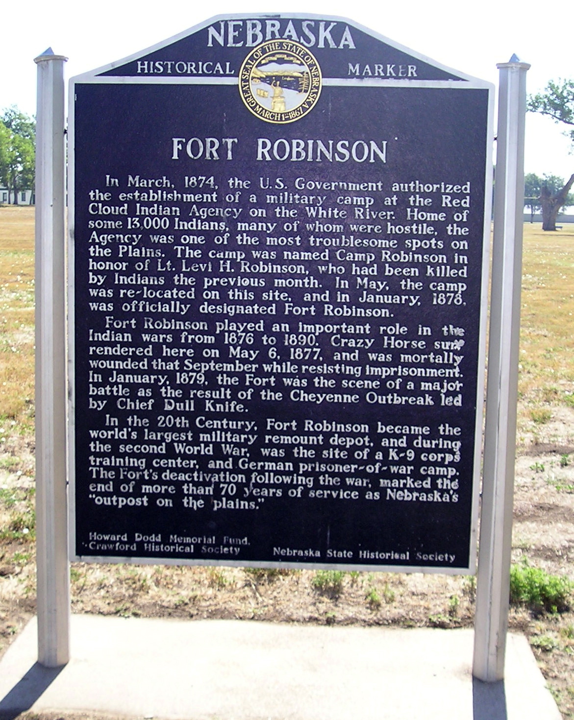
42°24′54″N 103°44′23″W / 42.415°N 103.739722°WAgate 2 Fort Robinson and Red Cloud Agency 
October 15, 1966 2 miles west of Crawford
42°40′02″N 103°27′13″W / 42.667222°N 103.453611°WCrawford Extends into Dawes County 3 Hudson-Meng Bison Kill Site 
August 28, 1973 Address Restricted Crawford 4 Sandford Dugout March 9, 2000 Address Restricted Mitchell 5 Sioux County Courthouse 
July 5, 1990 Northeastern corner of Main and 3rd Sts.
42°41′20″N 103°52′58″W / 42.688889°N 103.882778°WHarrison 6 Wind Springs Ranch Historic and Archeological District November 22, 2000 Wind Springs Creek Valley
42°04′33″N 103°39′53″W / 42.075833°N 103.664722°WScottsbluff Stanton County
There are no properties listed on the National Register of Historic Places in Stanton County.
Thayer County
[3] Landmark name [4] Image Date listed Location City or town Summary 1 Richard E. Dill House January 29, 1973 Off Nebraska Highway 76
40°14′53″N 97°23′18″W / 40.248056°N 97.388333°WAlexandria 2 Site No. JF00-072 June 19, 1987 Junction of Thayer, Jefferson, Washington, and Republic county lines
40°00′07″N 97°22′08″W / 40.001944°N 97.368889°WHubbell Precinct 3 US Post Office-Hebron 
May 11, 1992 145 N. 15th St.
40°10′03″N 97°35′20″W / 40.1675°N 97.588889°WHebron Thomas County
[3] Landmark name [4] Image Date listed Location City or town Summary 1 Bessey Nursery 
May 24, 1978 West of Halsey off Nebraska Highway 2
41°54′02″N 100°18′26″W / 41.900556°N 100.307222°WHalsey Former listing
- Thomas County Courthouse in Thedford, delisted on July 3, 2007
Thurston County
[3] Landmark name [4] Image Date listed Location City or town Summary 1 Blackbird Hill May 2, 1979 Off U.S. Route 75 southeast of Macy
42°4′48″N 96°17′55″W / 42.08°N 96.29861°W[19]Anderson Township 2 First Thurston County Courthouse 
January 10, 1990 400-412 Main St.
42°06′51″N 96°42′26″W / 42.114167°N 96.707222°WPender 3 North Omaha Creek Bridge 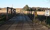
June 29, 1992 Township road over the North Omaha Creek, 3 miles southwest of Winnebago
42°11′38″N 96°31′50″W / 42.193889°N 96.530556°WWinnebago 4 Dr. Susan Picotte Memorial Hospital 
December 16, 1988 505 Matthewson St.
42°09′06″N 96°29′41″W / 42.151667°N 96.494722°WWalthill 5 Susan La Flesche Picotte House 
November 10, 2009 100 S. Taft St.
42°08′49″N 96°29′33″W / 42.146936°N 96.492478°WWalthill 6 Thurston County Courthouse 
January 10, 1990 Main St. between 5th and 6th Sts.
42°06′49″N 96°42′32″W / 42.113611°N 96.708889°WPender Valley County
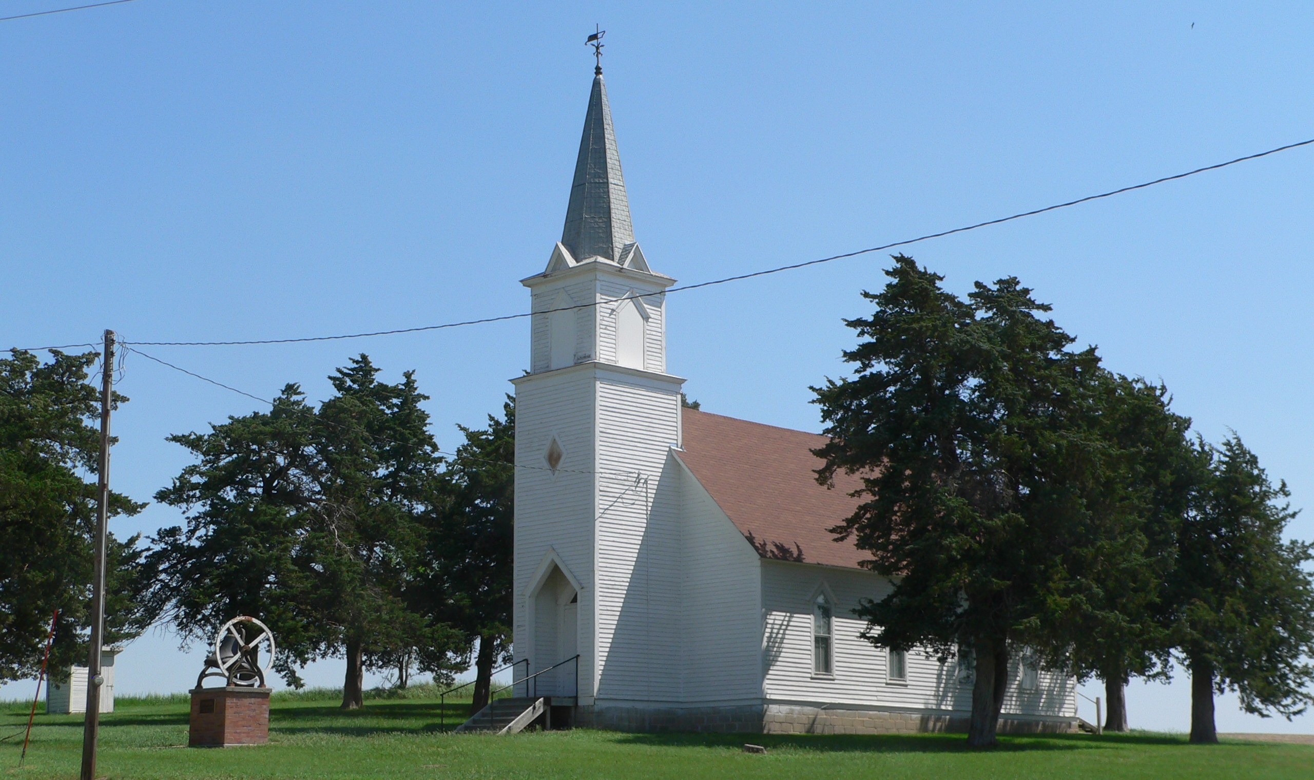
[3] Landmark name [4] Image Date listed Location City or town Summary 1 Josef and Anna Beran Bruha House April 5, 1990 West of Elyria Burwell 2 Fort Hartsuff March 24, 1978 North of Elyria
41°43′23″N 99°01′28″W / 41.723056°N 99.024444°WElyria 3 North Loup Bridge June 29, 1992 County road over the North Loup River, 1.5 miles northeast of North Loup
41°30′38″N 98°45′04″W / 41.510556°N 98.751111°WNorth Loup 4 People's Unitarian Church 
June 14, 1984 1640 N St.
41°36′05″N 98°55′48″W / 41.601389°N 98.93°WOrd 5 Rad Slavin cis. 112 Z.C.B.J. Hall 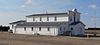
November 12, 1992 Address Restricted Comstock 6 Schultz Site October 15, 1966 Address Restricted North Loup 7 Valley County Courthouse 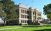
January 10, 1990 16th St. between L and M Sts.
41°36′09″N 98°55′42″W / 41.6025°N 98.928333°WOrd Washington County
Wayne County
[3] Landmark name [4] Image Date listed Location City or town Summary 1 Wayne Commercial Historic District 
December 8, 2009 S. Main, N. Main, and 2nd St.
42°13′49″N 97°01′04″W / 42.230278°N 97.017783°WWayne 2 Wayne County Courthouse 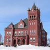
May 2, 1979 510 Pearl St.
42°14′03″N 97°01′11″W / 42.234167°N 97.019722°WWayne 3 Wayne Municipal Auditorium 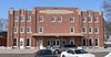
March 28, 2002 222 N. Pearl St.
42°13′52″N 97°01′10″W / 42.231111°N 97.019444°WWayne 4 Wayne United States Post Office 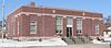
December 27, 2007 120 Pearl St.
42°13′48″N 97°01′09″W / 42.23°N 97.019167°WWayne 5 Dr. W.C. Wightman House 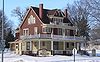
June 13, 1978 702 Lincoln St.
42°14′09″N 97°01′15″W / 42.235833°N 97.020833°WWayne Webster County
Wheeler County
[3] Landmark name [4] Image Date listed Location City or town Summary 1 A.T. Ranch Headquarters May 2, 1990 Star Route 1
41°56′52″N 98°29′57″W / 41.947778°N 98.499167°WBartlett 2 Former Wheeler County Courthouse 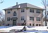
January 10, 1990 Main St. between 2nd and 3rd Sts.
41°53′03″N 98°33′06″W / 41.884167°N 98.551667°WBartlett York County
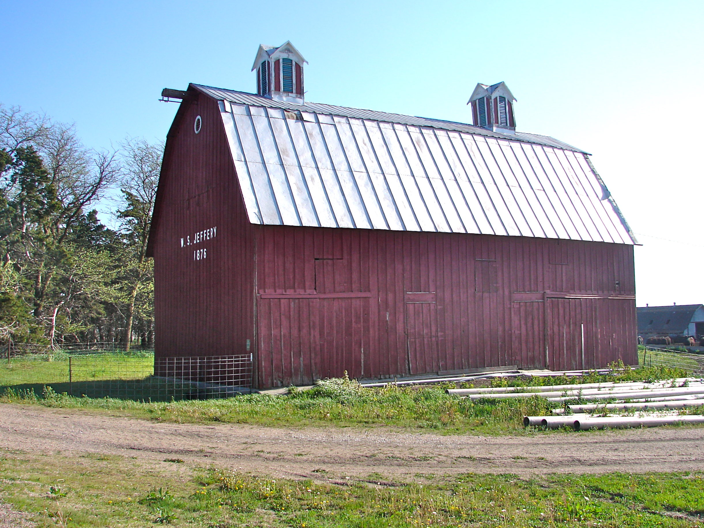
[3] Landmark name [4] Image Date listed Location City or town Summary 1 Bradshaw Town Hall 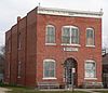
May 31, 1984 Off U.S. Route 34
40°53′01″N 97°44′48″W / 40.883611°N 97.746667°WBradshaw 2 Clem's Opera House 
September 28, 1988 Main and Post Sts.
41°01′41″N 97°24′07″W / 41.028056°N 97.401944°WGresham 3 W.S. Jeffery Farmstead 
July 26, 1982 West of Benedict
40°59′57″N 97°41′26″W / 40.999167°N 97.690556°WBenedict 4 York Public Library 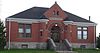
December 4, 1990 306 E. 7th St.
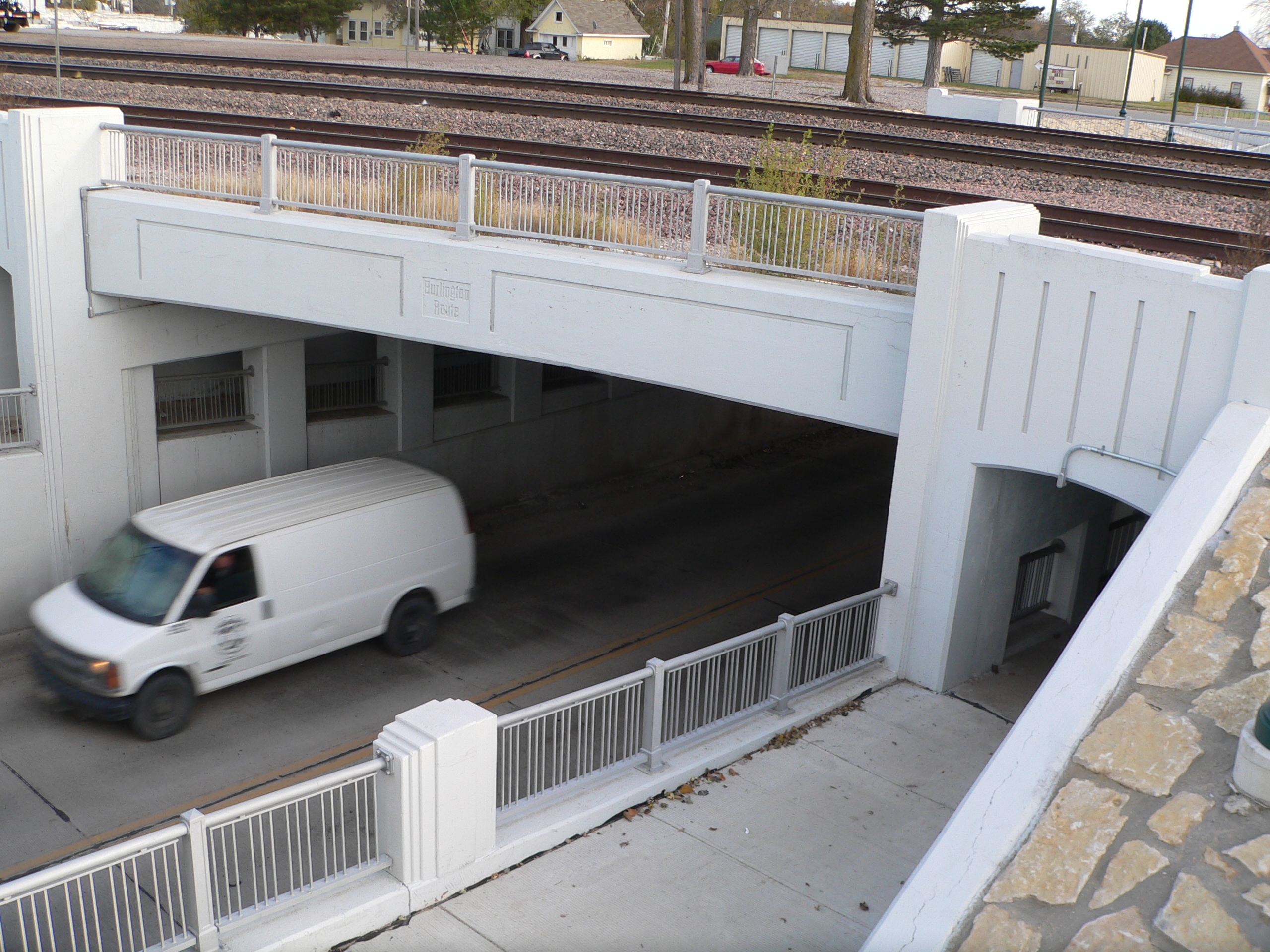
40°52′04″N 97°35′24″W / 40.867778°N 97.59°WYork 5 York Subway 
June 29, 1992 14th and 15th Sts. and BNSF tracks over U.S. Route 81
40°52′27″N 97°35′34″W / 40.874167°N 97.592778°WYork See also
References
- ^ "National Register of Historic Places: Weekly List Actions". National Park Service, United States Department of the Interior. Retrieved on November 10, 2011.
- ^ The following sites are listed in multiple counties: Champe-Fremont 1 Archeological Site (Douglas and Sarpy), Deering Bridge (Clay and Fillmore), Fort Robinson and Red Cloud Agency (Dawes and Sioux), Frank Parker Archeological Site (Douglas and Washington), Palmer Site (Howard and Merrick), Site No. JF00-072 (Jefferson and Thayer), Spade Ranch (Cherry and Sheridan) and Sweetwater Archeological Site (Buffalo and Sherman).
- ^ a b c d e f g h i j k l m n o p q r s t u v w x y z aa ab ac ad ae af ag ah ai aj ak al am an ao ap aq ar as at au av aw ax ay az ba Numbers represent an ordering by significant words. Various colorings, defined here, differentiate National Historic Landmark sites and National Register of Historic Places Districts from other NRHP buildings, structures, sites or objects.
- ^ a b c d e f g h i j k l m n o p q r s t u v w x y z aa ab ac ad ae af ag ah ai aj ak al am an ao ap aq ar as at au av aw ax ay az ba bb bc "National Register Information System". National Register of Historic Places. National Park Service. . http://nrhp.focus.nps.gov/natreg/docs/All_Data.html.
- ^ Location derived from its GNIS feature record; the NRIS lists the site as "Address Restricted"
- ^ See photo
- ^ See photo
- ^ See photo
- ^ "Fire guts Aurora's historic Fidelity Building". Grand Island Independent, July 10, 2008. Retrieved November 24, 2009.
- ^ "Aurora teens convicted of arson". Grand Island Independent, September 17, 2008. Retrieved November 24, 2009.
- ^ Location derived from its GNIS feature record; the NRIS lists the site as "Address Restricted"
- ^ See photo
- ^ Location derived from its GNIS feature record; the NRIS lists it as "Address Restricted"
- ^ Guzman, Chabella. "Historical Kimball building destroyed in fire Saturday". Scottsbluff Star-Herald. 2010-01-03. Retrieved 2010-08-23.
- ^ "Event Record Details". National Climatic Data Center. Retrieved on October 23, 2009.
- ^ "Audit Report of McPherson County Court: July 1, 2003 through June 30, 2004. Nebraska Auditor of Public Accounts. Retrieved on November 11, 2009.
- ^ "National Register Information System". National Register of Historic Places. National Park Service. 2009-03-13. http://nrhp.focus.nps.gov/natreg/docs/All_Data.html.
- ^ "Old Willow Creek Bridge". Nebraska State Historical Society. Retrieved 2010-04-10.
- ^ Location derived from its GNIS feature record; the NRIS lists the site as "Address Restricted".
U.S. National Register of Historic Places Topics Lists by states Alabama • Alaska • Arizona • Arkansas • California • Colorado • Connecticut • Delaware • Florida • Georgia • Hawaii • Idaho • Illinois • Indiana • Iowa • Kansas • Kentucky • Louisiana • Maine • Maryland • Massachusetts • Michigan • Minnesota • Mississippi • Missouri • Montana • Nebraska • Nevada • New Hampshire • New Jersey • New Mexico • New York • North Carolina • North Dakota • Ohio • Oklahoma • Oregon • Pennsylvania • Rhode Island • South Carolina • South Dakota • Tennessee • Texas • Utah • Vermont • Virginia • Washington • West Virginia • Wisconsin • WyomingLists by territories Lists by associated states Other Categories:- National Register of Historic Places in Nebraska
- National Register of Historic Places lists by state
- Nebraska-related lists
-


_plaque.JPG)
_from_SE_1.JPG)
Wikimedia Foundation. 2010.