- Niobrara River
-
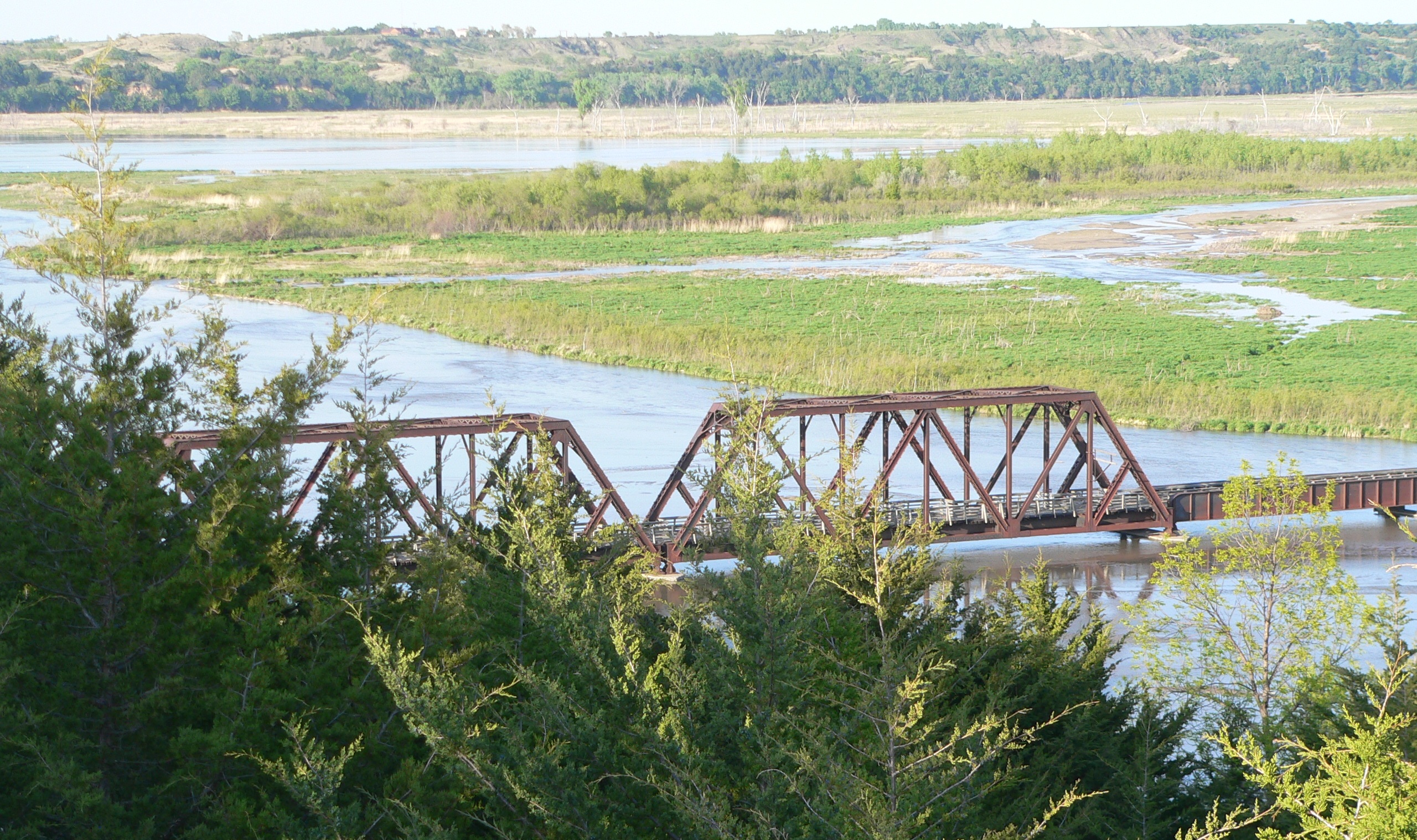
Niobrara River River  The Niobrara at its confluence with the Missouri. The Niobrara runs from lower right to upper left, under the bridge in the photo; the Missouri is in the background, flowing from left to right.
Country United States States Wyoming, Nebraska Source near Manville - elevation 5,500 ft (1,676 m) Mouth Missouri River - elevation 1,220 ft (372 m) Length 568 mi (914 km) Basin 11,580 sq mi (29,992 km2) Discharge for Verdel, NE - average 1,718 cu ft/s (49 m3/s) - max 39,100 cu ft/s (1,107 m3/s) - min 102 cu ft/s (3 m3/s)  Map of the Niobrara River (light blue)
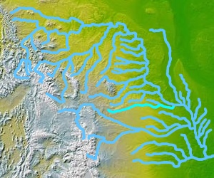
 Niobrara river flowing through Agate Fossil Beds National Monument, near its headwaters.
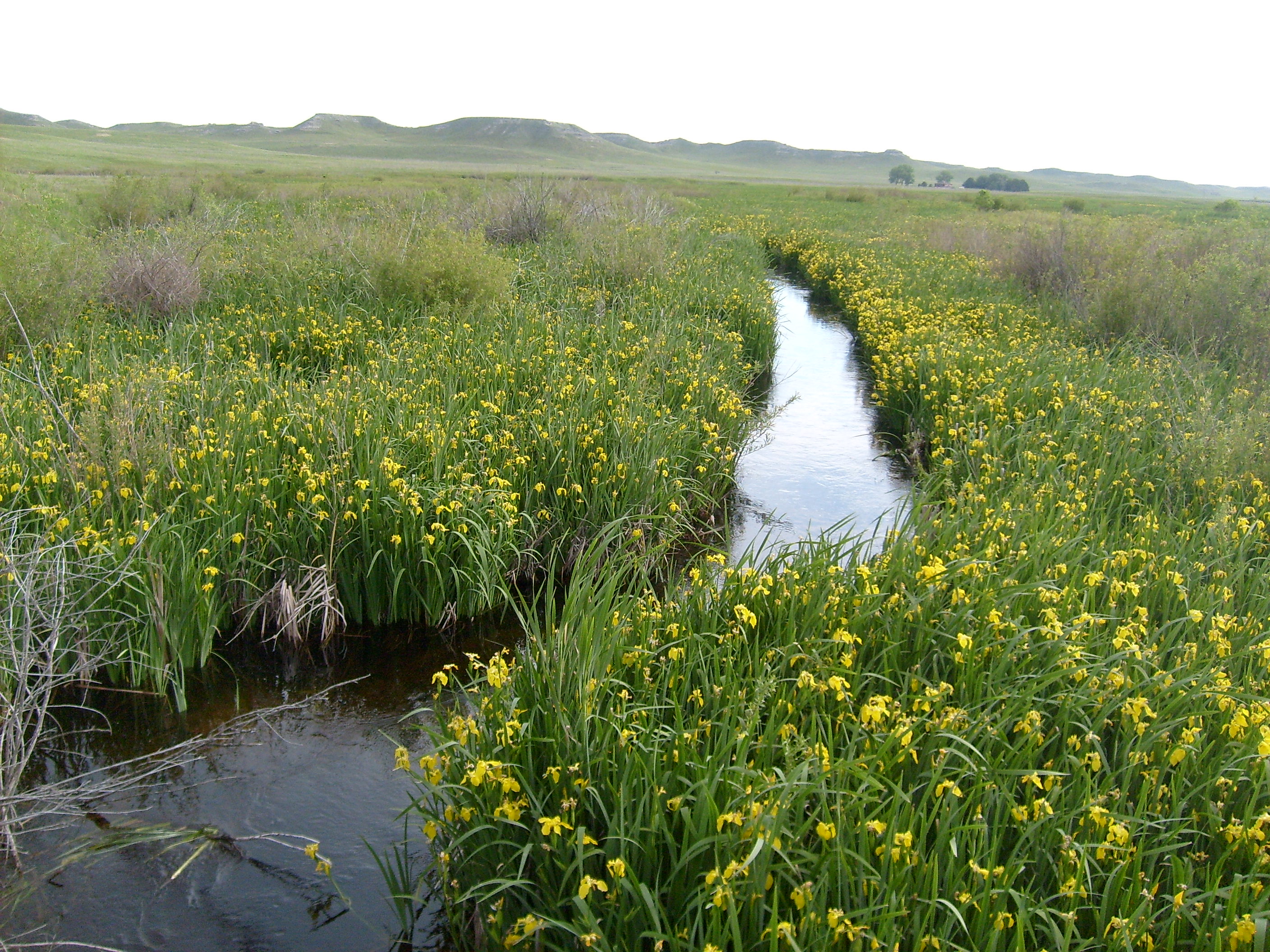
The Niobrara River (
 /ˌnaɪ.əˈbrærə/; from the Ponca Ní Ubthátha khe pronounced [nĩꜜ ubɫᶞaꜜɫᶞa kʰe], meaning "water spread-out horizontal-the"; Cheyenne: Hisse Yovi Yoe, meaning "surprise river") is a tributary of the Missouri River, approximately 568 miles (914 km) long,[1] running through the U.S. states of Wyoming and Nebraska.[2] The river drains one of the most arid sections of the Great Plains, and has a low flow for a river of its length. The Niobrara's watershed includes a small south-central section of South Dakota as well as the northern tier of Nebraska and a tiny area of eastern Wyoming.
Contents
Course
The river rises in the High Plains of Wyoming, in southern Niobrara County. The Niobrara flows east as an intermittent stream past Lusk and southeast into northwestern Nebraska. It then flows southeast across the Pine Ridge country of Sioux County, then east through Agate Fossil Beds National Monument, past Marsland, and through Box Butte Reservoir. The stream flows east across northern Nebraska, near the northern edge of the Sandhills and past Valentine. It is joined by the Snake River about 13 miles (21 km) southwest of Valentine. In north-central Nebraska it is joined by the Keya Paha River approximately 6 miles (10 km) west of Butte. The river joins the Missouri northwest of Niobrara in northern Knox County. Its total drainage basin is about 11,580 square miles (30,000 km2).
76 miles (122 km) of the Niobrara River in central Nebraska from the town of Valentine east to Nebraska State Highway 137, have been designated as the Niobrara National Scenic River.
Discharge
The river's average discharge is 1,718 cubic feet per second (48.6 m3/s) at Verdel, Nebraska. The highest flow recorded was 39,100 cubic feet per second (1,110 m3/s) on March 27, 1960. The lowest daily mean was 102 cubic feet per second (2.9 m3/s) on November 13, 1960.[3]
History
The lower Niobrara valley is the traditional home of the Ponca tribe of Native Americans. Between 1861 and 1882, the stretch of the Niobrara River from the mouth of the Keya Paha to its confluence with the Missouri marked the boundary between Nebraska and the Dakota Territory.
In popular culture
Composer Larry McTaggert wrote a piece for bands entitled Niobrara River Sketches, containing the movements Tubing on the River, Sunset in Cherry County, and Hoedown in Niobrara. The Niobrara is mentioned in Jack Kerouac's song Home I'll Never Be or in Liselotte Welskopf-Henrich book The Sons of Great Bear.
References
- ^ U.S. Geological Survey. National Hydrography Dataset high-resolution flowline data. The National Map, accessed March 30, 2011
- ^ "Nature & Science". National Park Service: Niobrara National Scenic River. Retrieved 2011-03-10.
- ^ "USGS Gage #06465500 on the Niobrara River at Verdel, NE". National Water Information System. U.S> Geological Survey. 1938-present. http://wdr.water.usgs.gov/wy2009/pdfs/06465500.2009.pdf. Retrieved 2010-10-11.
See also
- List of longest rivers of the United States (by main stem)
- List of Nebraska rivers
- List of Wyoming rivers
- Niobrara State Park
Categories:- Rivers of Nebraska
- Rivers of Wyoming
- Tributaries of the Missouri River
- Geography of Sioux County, Nebraska
- Geography of Dawes County, Nebraska
- Geography of Boyd County, Nebraska
- Geography of Cherry County, Nebraska
- Geography of Knox County, Nebraska
- Geography of Keya Paha County, Nebraska
- Geography of Brown County, Nebraska
- Geography of Rock County, Nebraska
- Geography of Sheridan County, Nebraska
- Geography of Holt County, Nebraska
Wikimedia Foundation. 2010.