- National Register of Historic Places listings in Adams County, Nebraska
-
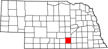 Location of Adams County in Nebraska
This is a list of the National Register of Historic Places listings in Adams County, Nebraska. It is intended to be a complete list of the properties and districts on the National Register of Historic Places in Adams County, Nebraska, United States. The locations of National Register properties and districts for which the latitude and longitude coordinates are included below, may be seen in a Google map.[1]
There are 18 properties and districts listed on the National Register in the county.
-
- This National Park Service list is complete through NPS recent listings posted November 10, 2011.[2]
Listings county-wide
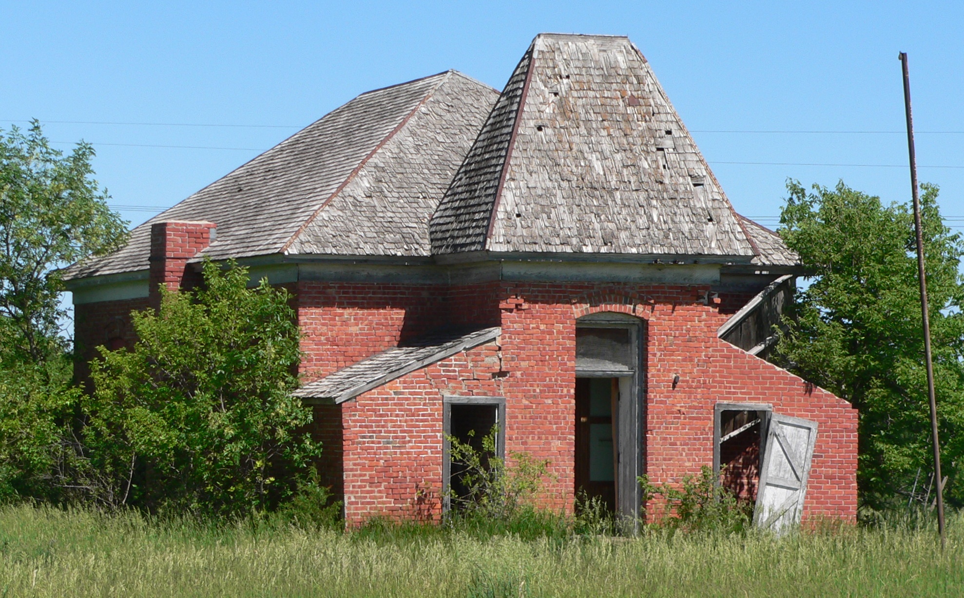
[3] Landmark name [4] Image Date listed Location City or town Summary 1 Antioch School 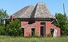
September 28, 1988 Near Crooked Creek
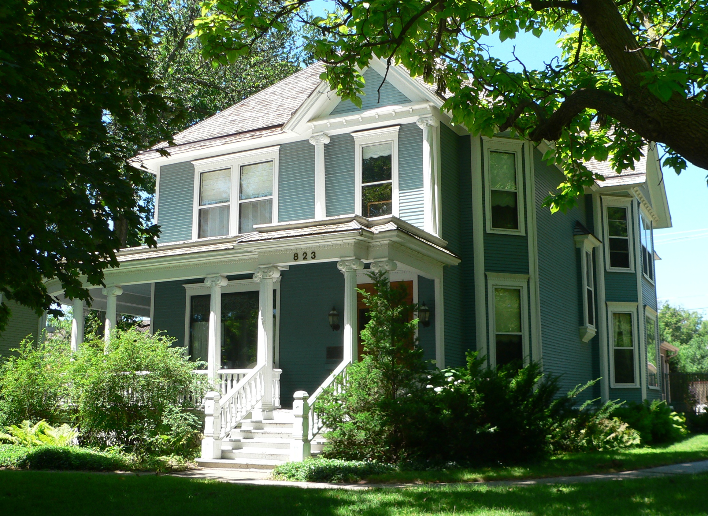
40°22′43″N 98°17′47″W / 40.378611°N 98.296389°WPauline 2 William Brach House 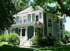
February 1, 1979 823 N. Lincoln Ave.
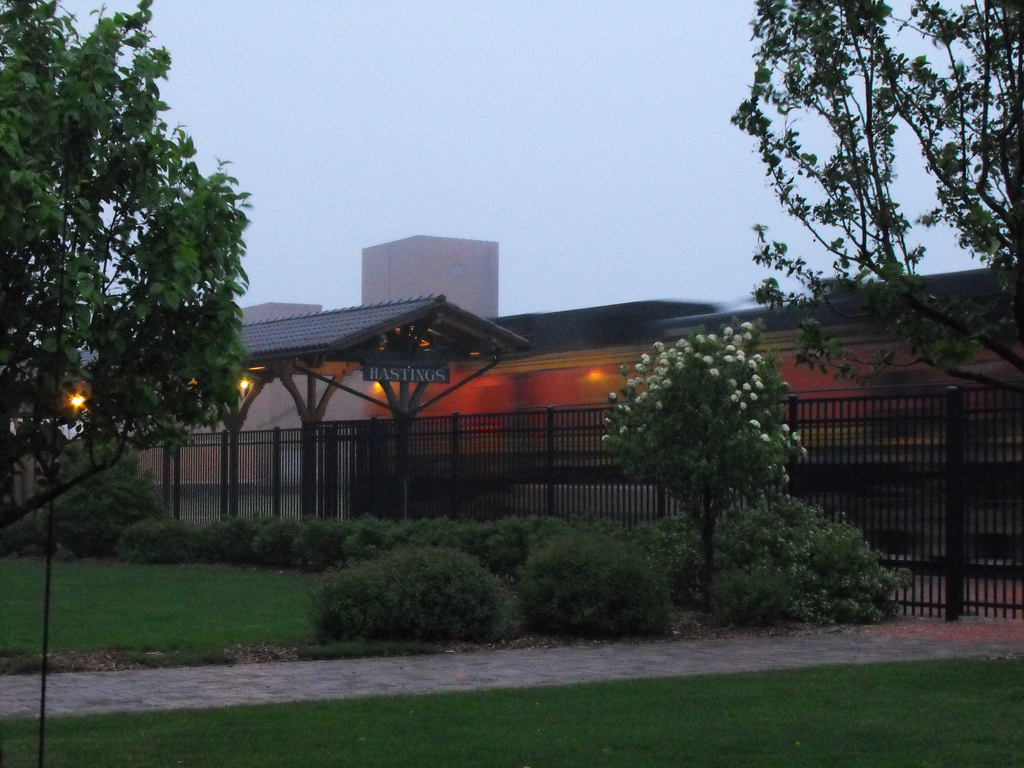
40°35′33″N 98°23′27″W / 40.5925°N 98.390833°WHastings 3 Burlington Station 
March 29, 1978 1st St. and St. Joseph Ave.
40°35′02″N 98°23′13″W / 40.583889°N 98.386944°WHastings 4 Central Hastings Historic District August 21, 2003 Roughly 7th to 12th; Colorado Ave. to Bellevue Ave.
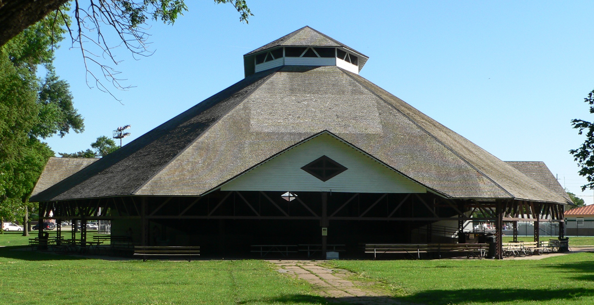
40°35′35″N 98°23′23″W / 40.593056°N 98.389722°WHastings 5 Chautauqua Pavilion 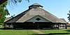
October 19, 1978 Chautauqua Park
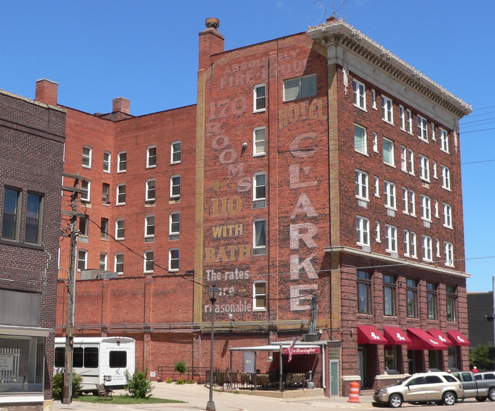
40°35′14″N 98°24′44″W / 40.587222°N 98.412222°WHastings 6 Clarke Hotel 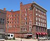
December 7, 1987 233 N. Hastings Ave.
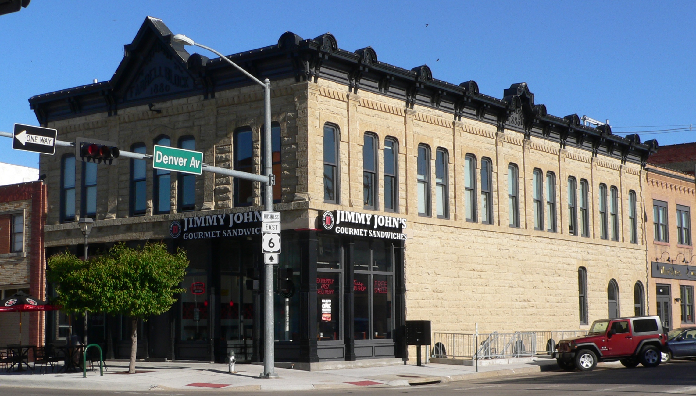
40°35′09″N 98°23′24″W / 40.585833°N 98.39°WHastings 7 Farrell Block 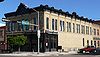
May 1, 1979 533-537 2nd St., and 112 Denver Ave.
40°35′06″N 98°23′17″W / 40.585°N 98.388056°WHastings 8 Hastings Municipal Airport Hangar-Building No. 1 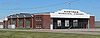
July 22, 2005 3100 E. 12th St.
40°35′51″N 98°25′33″W / 40.5975°N 98.425833°WHastings 9 Heartwell Park Historic District March 9, 2000 105-106 Lakeside Dr., 110-602 Forest Boulevard, and 923 and 1109 N. Elm St.
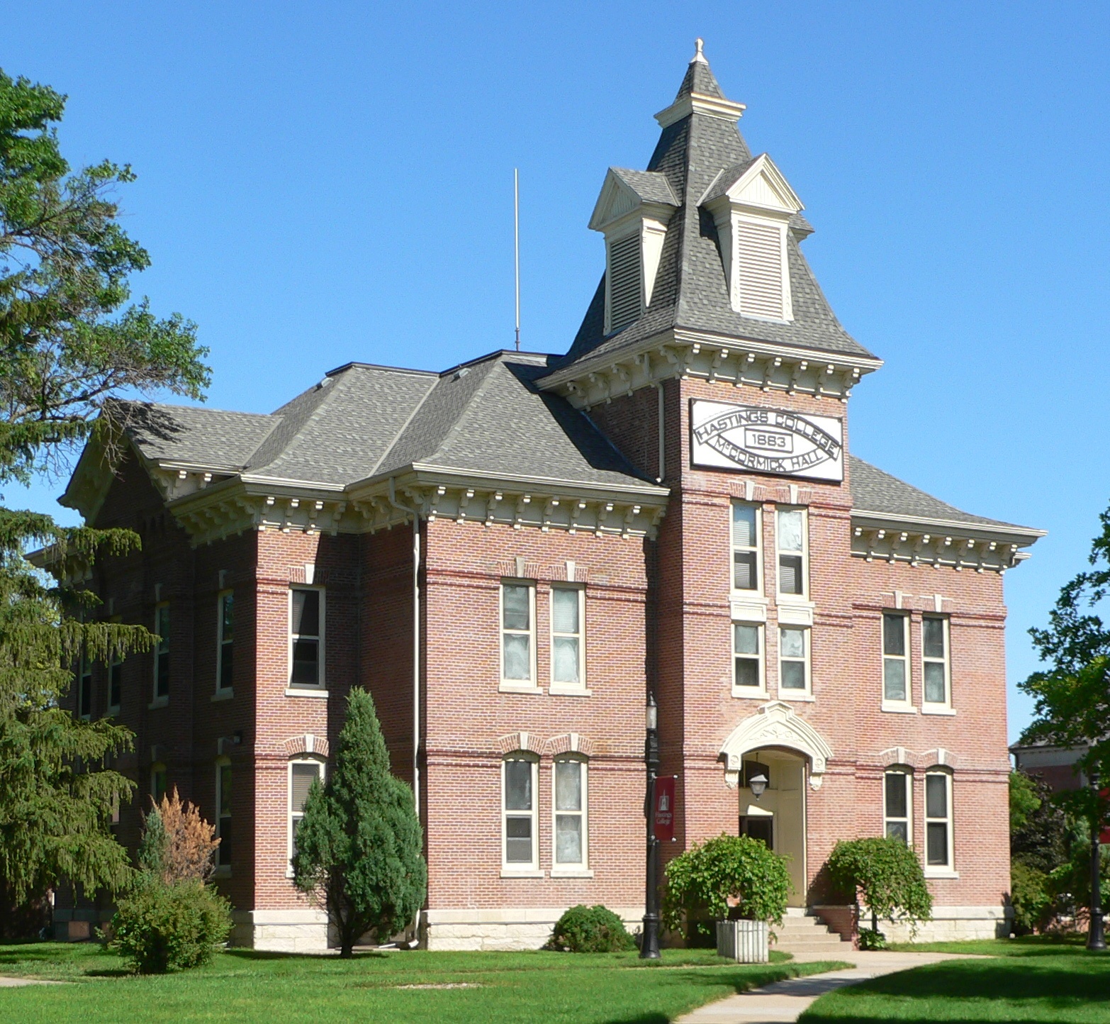
40°35′43″N 98°22′40″W / 40.595278°N 98.377778°WHastings 10 Jackson-Einspahr Sod House November 8, 2006 Address Restricted Holstein 11 McCormick Hall 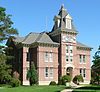
May 12, 1975 Hastings College campus
40°35′32″N 98°22′25″W / 40.592222°N 98.373611°WHastings 12 McCue-Trausch Farmstead 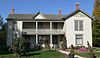
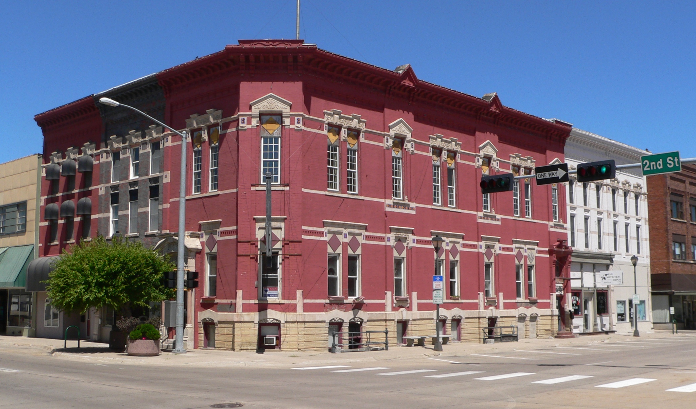
March 9, 2000 Address Restricted Hastings 13 Nebraska Loan and Trust Company Building 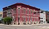
May 1, 1979 2nd St. and Lincoln Ave.
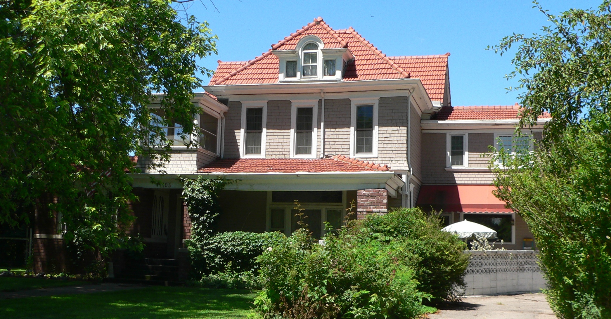
40°35′08″N 98°23′28″W / 40.585556°N 98.391111°WHastings 14 Nowlan-Dietrich House 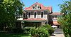
April 17, 1979 1105 N. Kansas Ave.
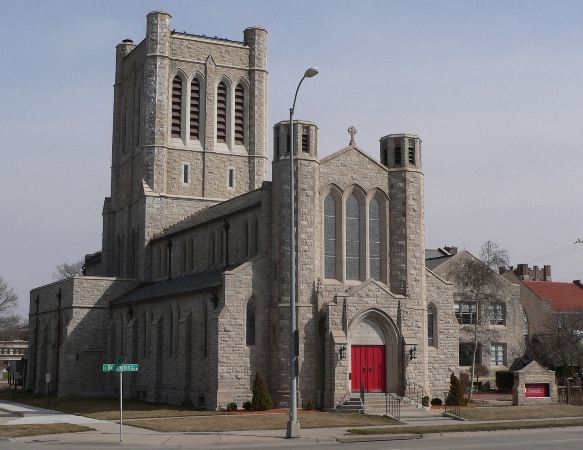
40°35′45″N 98°23′09″W / 40.595833°N 98.385833°WHastings 15 St. Mark's Episcopal Pro-Cathedral 
November 30, 1987 Junction of 4th and Burlington
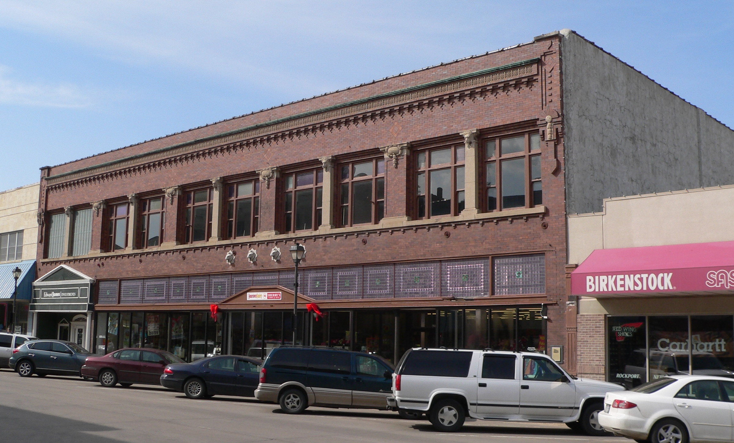
40°35′16″N 98°23′29″W / 40.587778°N 98.391389°WHastings 16 Stein Brothers Building 
May 1, 1979 630 W. 2nd St.
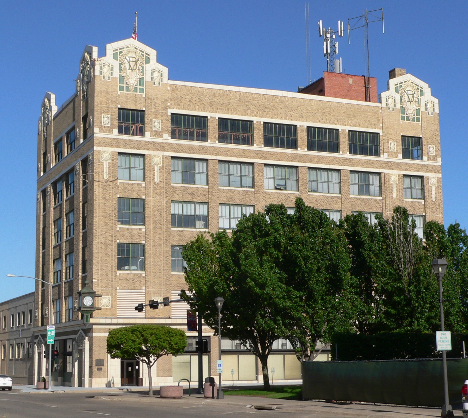
40°35′07″N 98°23′20″W / 40.585278°N 98.388889°WHastings 17 Thirty-Two Mile Station Site February 20, 1975 Address Restricted Hastings 18 Victory Building 
March 31, 1987 2nd at Saint Joseph Ave.
40°35′06″N 98°23′13″W / 40.585°N 98.386944°WHastings See also
- List of National Historic Landmarks in Nebraska
- National Register of Historic Places listings in Nebraska
References
- ^ The latitude and longitude information provided in this table was derived originally from the National Register Information System, which has been found to be fairly accurate for about 99% of listings. For about 1% of NRIS original coordinates, experience has shown that one or both coordinates are typos or otherwise extremely far off; some corrections may have been made. A more subtle problem causes many locations to be off by up to 150 yards, depending on location in the country: most NRIS coordinates were derived from tracing out latitude and longitudes off of USGS topographical quadrant maps created under the North American Datum of 1927, which differs from the current, highly accurate WGS84 GPS system used by Google maps. Chicago is about right, but NRIS longitudes in Washington are higher by about 4.5 seconds, and are lower by about 2.0 seconds in Maine. Latitudes differ by about 1.0 second in Florida. Some locations in this table may have been corrected to current GPS standards.
- ^ "National Register of Historic Places: Weekly List Actions". National Park Service, United States Department of the Interior. Retrieved on November 10, 2011.
- ^ Numbers represent an ordering by significant words. Various colorings, defined here, differentiate National Historic Landmark sites and National Register of Historic Places Districts from other NRHP buildings, structures, sites or objects.
- ^ "National Register Information System". National Register of Historic Places. National Park Service. . http://nrhp.focus.nps.gov/natreg/docs/All_Data.html.
U.S. National Register of Historic Places Topics Lists by states Alabama • Alaska • Arizona • Arkansas • California • Colorado • Connecticut • Delaware • Florida • Georgia • Hawaii • Idaho • Illinois • Indiana • Iowa • Kansas • Kentucky • Louisiana • Maine • Maryland • Massachusetts • Michigan • Minnesota • Mississippi • Missouri • Montana • Nebraska • Nevada • New Hampshire • New Jersey • New Mexico • New York • North Carolina • North Dakota • Ohio • Oklahoma • Oregon • Pennsylvania • Rhode Island • South Carolina • South Dakota • Tennessee • Texas • Utah • Vermont • Virginia • Washington • West Virginia • Wisconsin • WyomingLists by territories Lists by associated states Other Municipalities and communities of Adams County, Nebraska City 
Villages Townships Footnotes ‡This populated place also has portions in an adjacent county or counties
Categories:- National Register of Historic Places in Nebraska by county
- Adams County, Nebraska
- Buildings and structures in Adams County, Nebraska
-


Wikimedia Foundation. 2010.