- National Register of Historic Places listings in Adams County, Illinois
-
See also: List of Registered Historic Places in Illinois
Contents: List of Registered Historic Places in Adams County, Illinois, USA:
-
- This National Park Service list is complete through NPS recent listings posted November 10, 2011.[1]
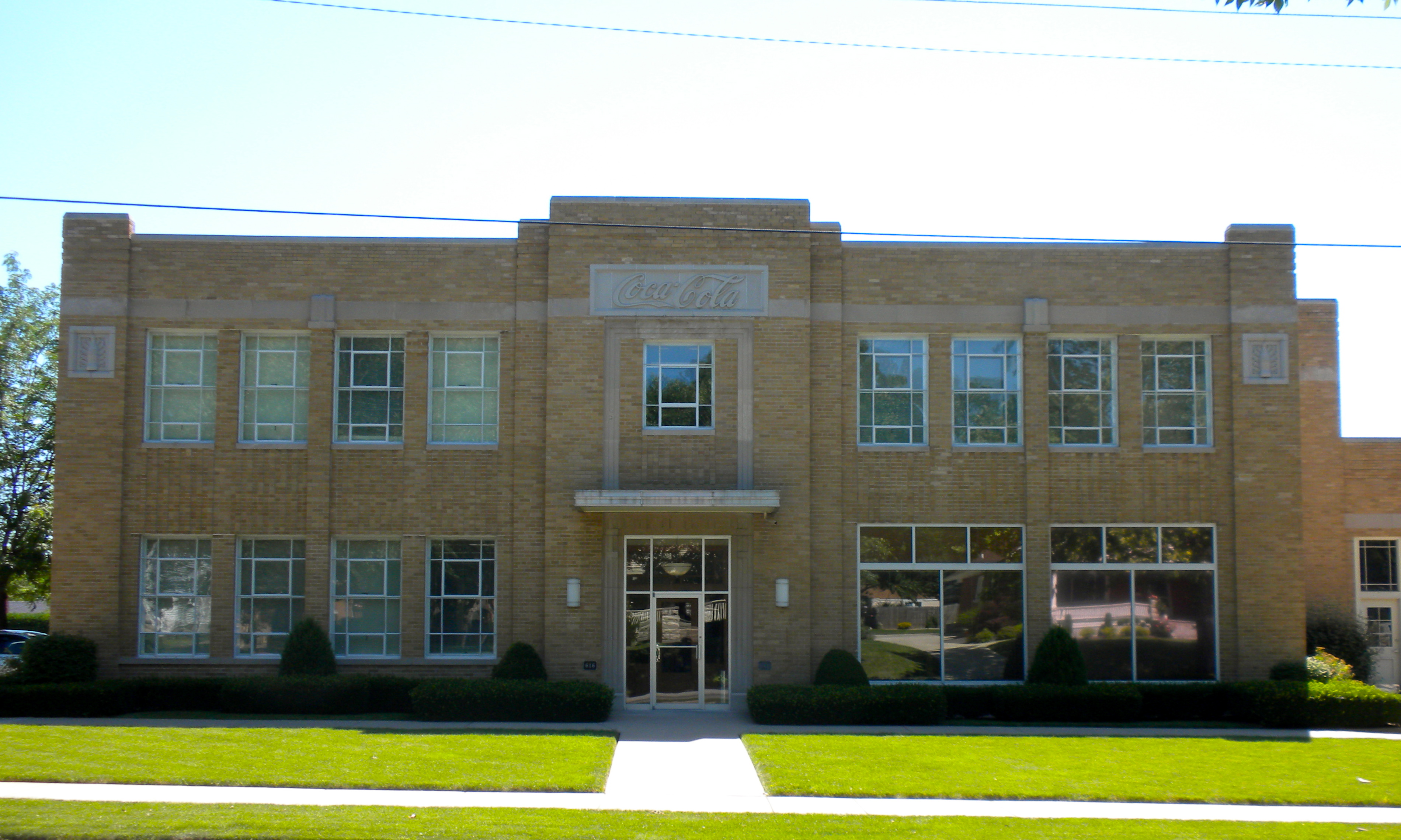
[2] Landmark name Image Date listed Location City or town Summary 1 Coca-Cola Bottling Company Building 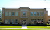
February 7, 1997 616 N. 24th St.
39°56′18″N 91°22′37″W / 39.938333°N 91.376944°WQuincy 2 Downtown Quincy Historic District 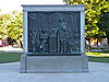
April 7, 1983 Roughly bounded by Hampshire, Jersey, 4th and 8th Sts.
39°55′57″N 91°24′28″W / 39.9325°N 91.407778°WQuincy 3 Ebenezer Methodist Episcopal Chapel and Cemetery Ebenezer Methodist Episcopal Chapel and CemeteryJune 4, 1984 NW of Golden
40°09′32″N 91°06′10″W / 40.158889°N 91.102778°WGolden 4 Exchange Bank Exchange BankFebruary 12, 1987 Quincy St.
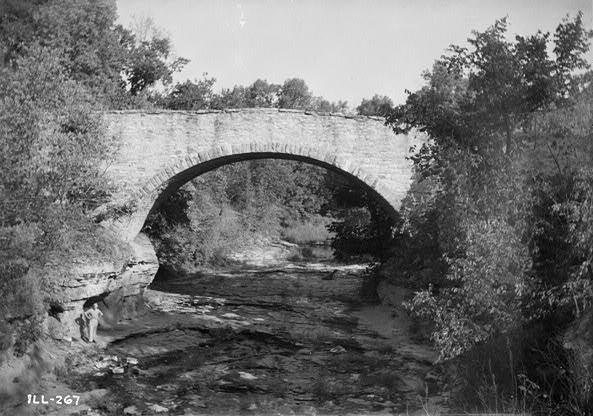
40°06′26″N 91°01′01″W / 40.107222°N 91.016944°WGolden 5 Fall Creek Stone Arch Bridge 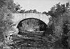
November 7, 1996 1.2 mi. NE of Fall Cr.-Payson Rd., across Fall Cr.
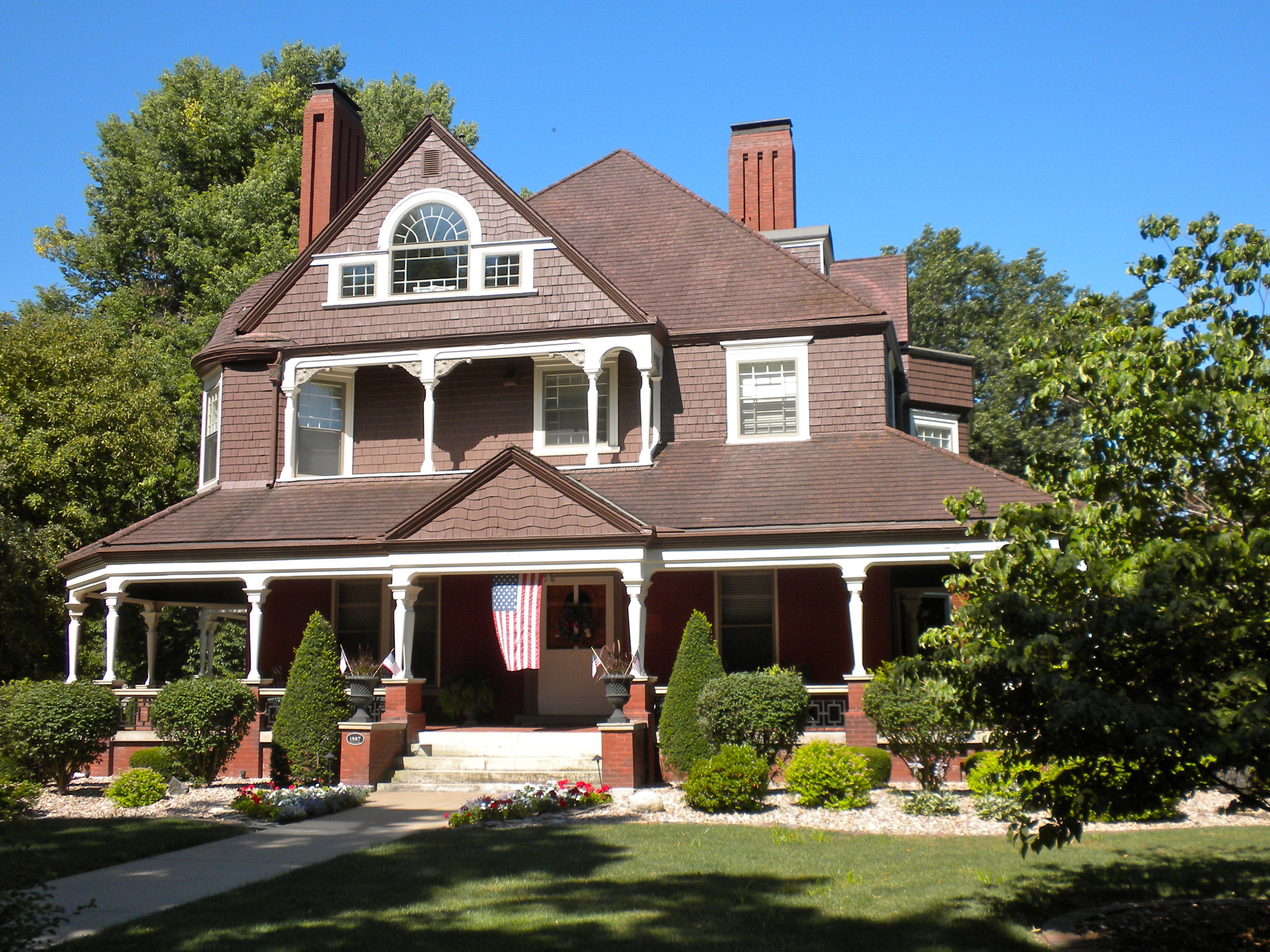
39°47′06″N 91°18′08″W / 39.785°N 91.302222°WPayson 6 Robert W. Gardner House 
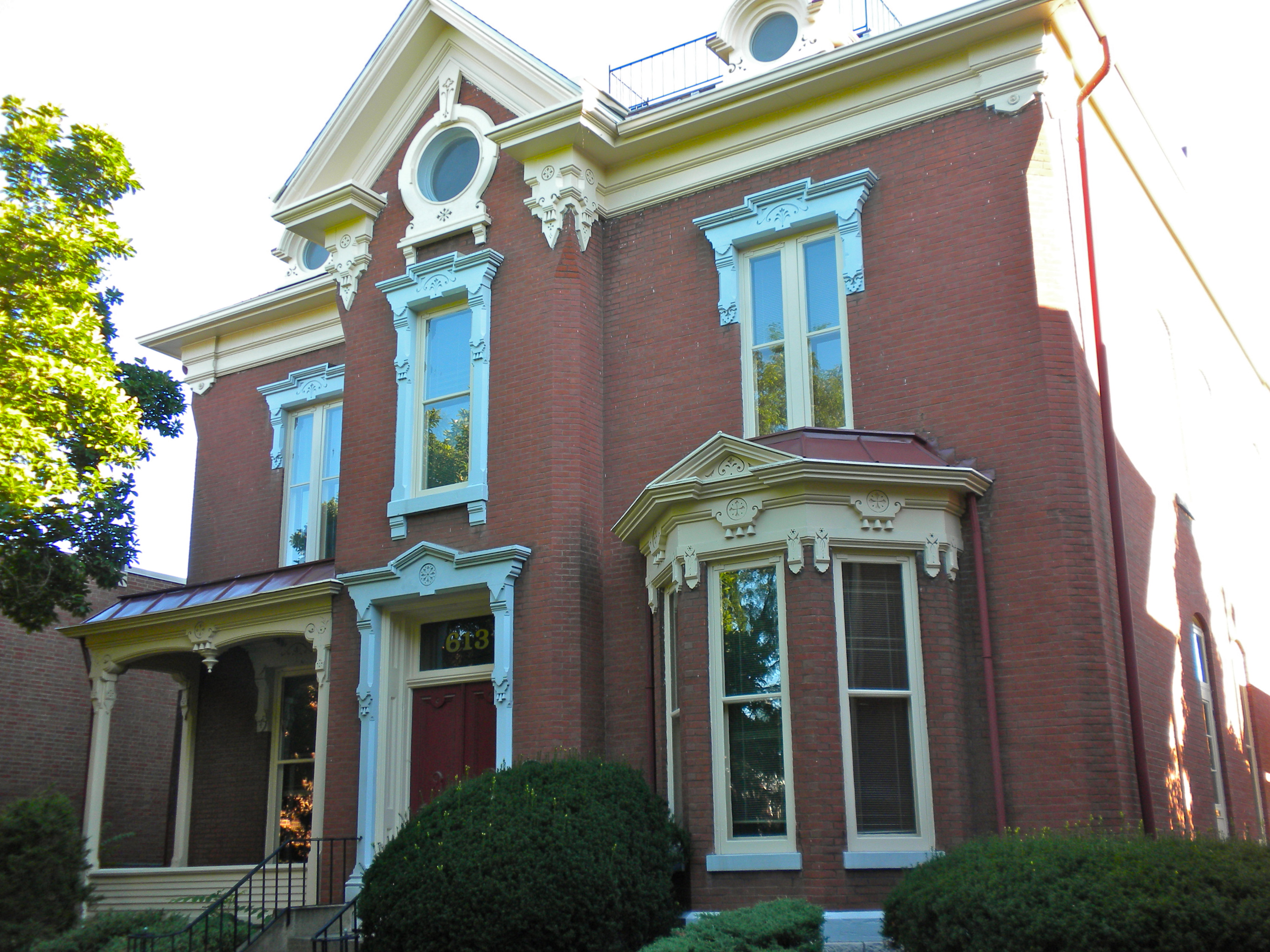
June 20, 1979 613 Broadway St.
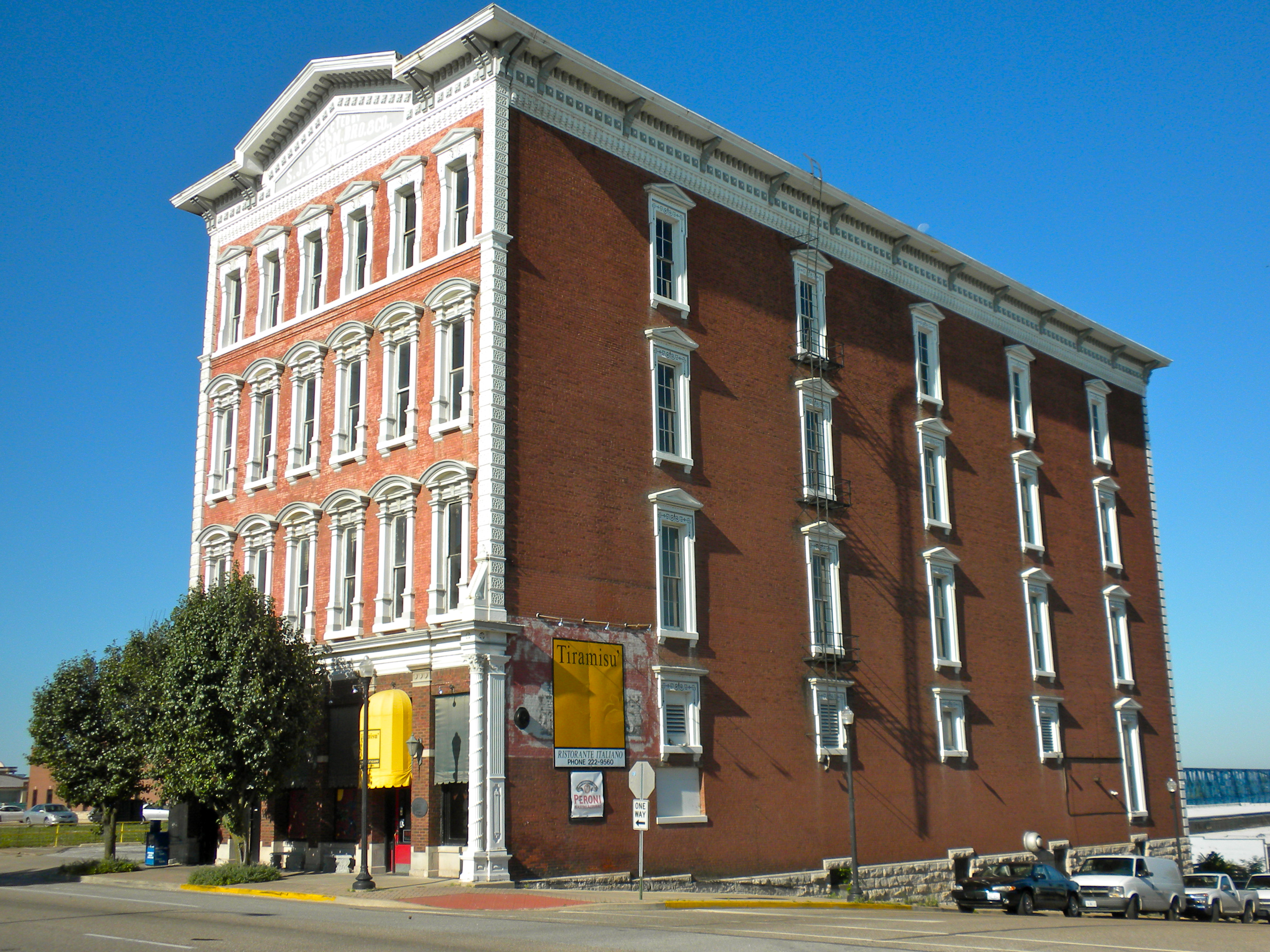
39°56′09″N 91°24′21″W / 39.935833°N 91.405833°WQuincy 7 S.J. Lesem Building 
November 22, 1999 135-37 N 3rd St.
39°56′06″N 91°24′43″W / 39.935°N 91.411944°WQuincy 8 Lewis Round Barn Lewis Round BarnJanuary 29, 2003 2007 E 1250th St.
40°03′06″N 91°16′19″W / 40.051667°N 91.271944°WMendon 9 Lock and Dam No. 21 Historic District 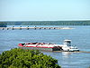
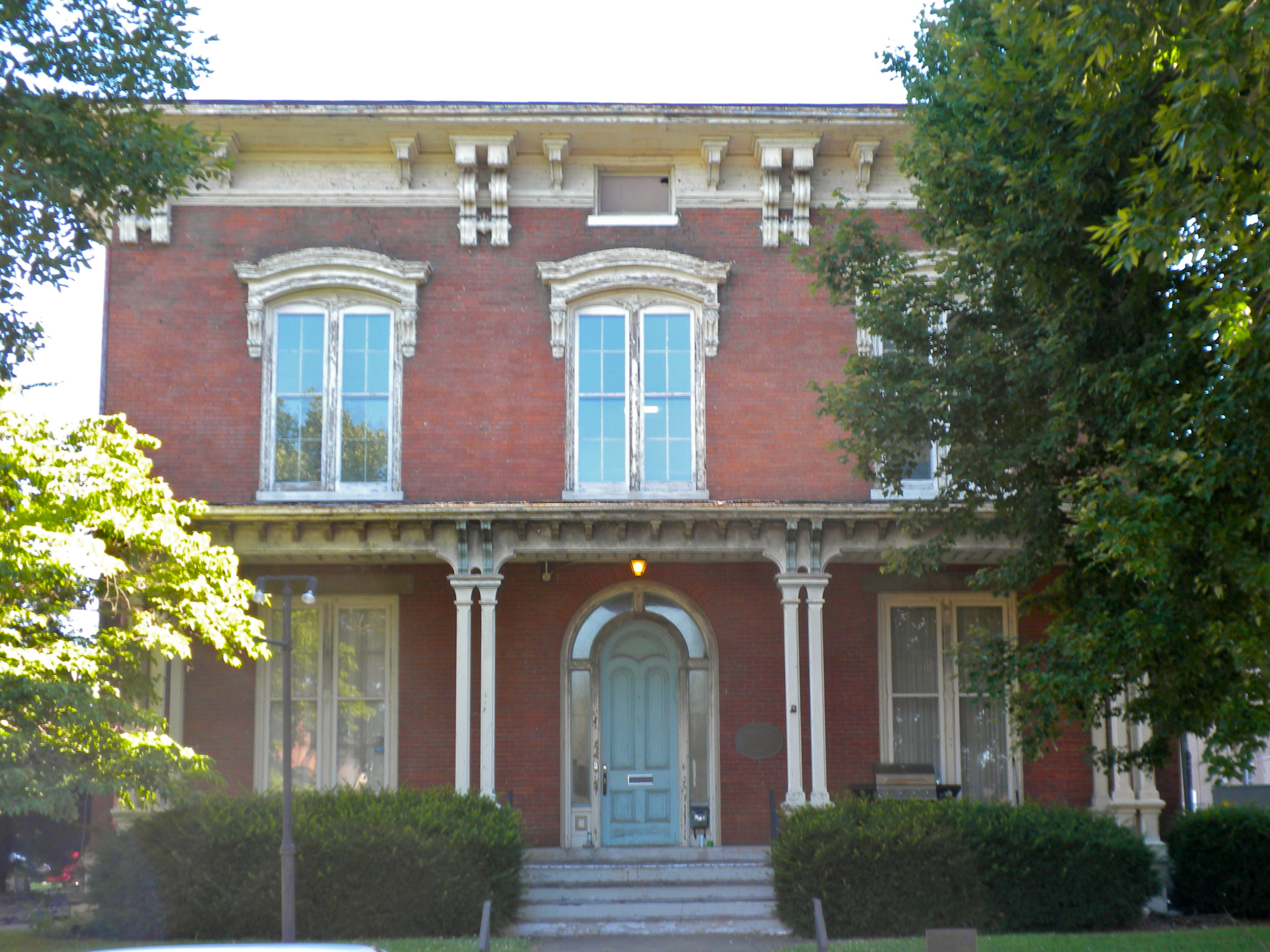
March 10, 2004 0.5 mi. W of IL 57 Quincy 10 Morgan-Wells House 
November 16, 1977 421 Jersey St.
39°55′52″N 91°24′32″W / 39.931111°N 91.408889°WQuincy 11 Richard F. Newcomb House 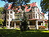
June 3, 1982 1601 Maine St.
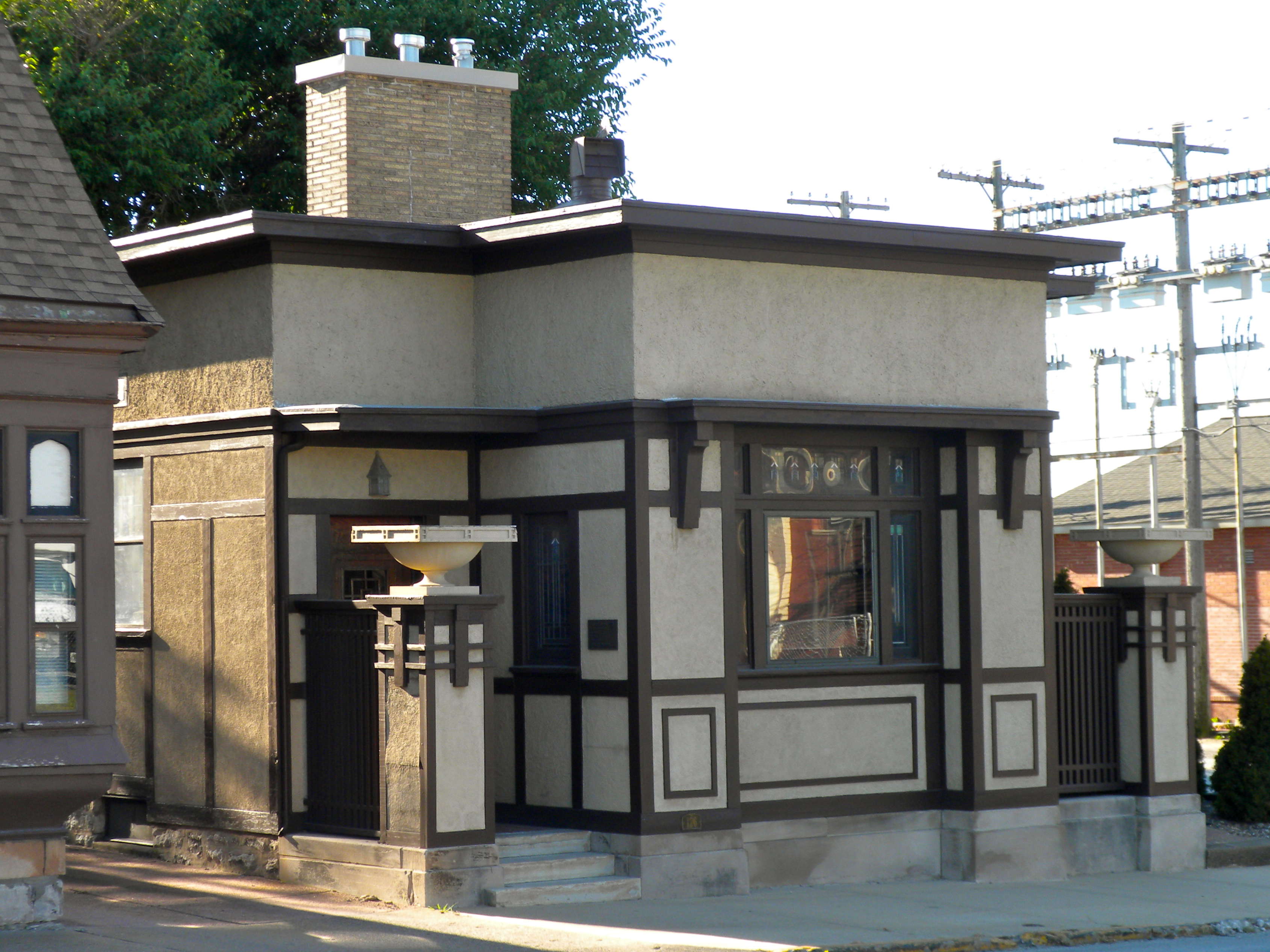
39°55′56″N 91°23′24″W / 39.932222°N 91.39°WQuincy 12 One Thirty North Eighth Building 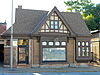
February 9, 1984 130 N. 8th St.
39°55′58″N 91°24′10″W / 39.932778°N 91.402778°WQuincy 13 Quincy East End Historic District 
November 14, 1985 Roughly bounded by Hampshire, Twenty-fourth, State, and Twelfth Sts.
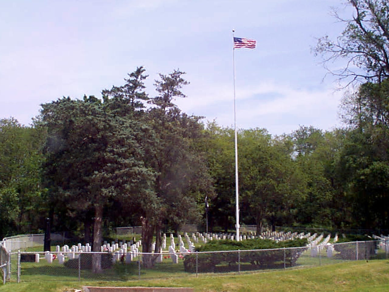
39°55′51″N 91°23′11″W / 39.930833°N 91.386389°WQuincy 14 Quincy National Cemetery 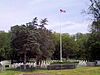
May 6, 2011 36th & Main Sts.
39°55′58″N 91°21′25″W / 39.932778°N 91.356944°WQuincy Civil War Era National Cemeteries MPS 15 Quincy Northwest Historic District 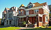
May 11, 2000 Roughly bounded by Broadway, N. Second, Locust, and N. Twelfth Sts.
39°56′43″N 91°24′18″W / 39.945278°N 91.405°WQuincy 16 John Roy Site John Roy SiteMay 22, 1978 Address Restricted Clayton 17 South Side German Historic District 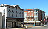
May 22, 1992 Roughly bounded by 6th, 12th, Washington, Jersey and York Sts.; also roughly bounded by Jefferson, S. 12th, Jackson and S. 5th Sts.
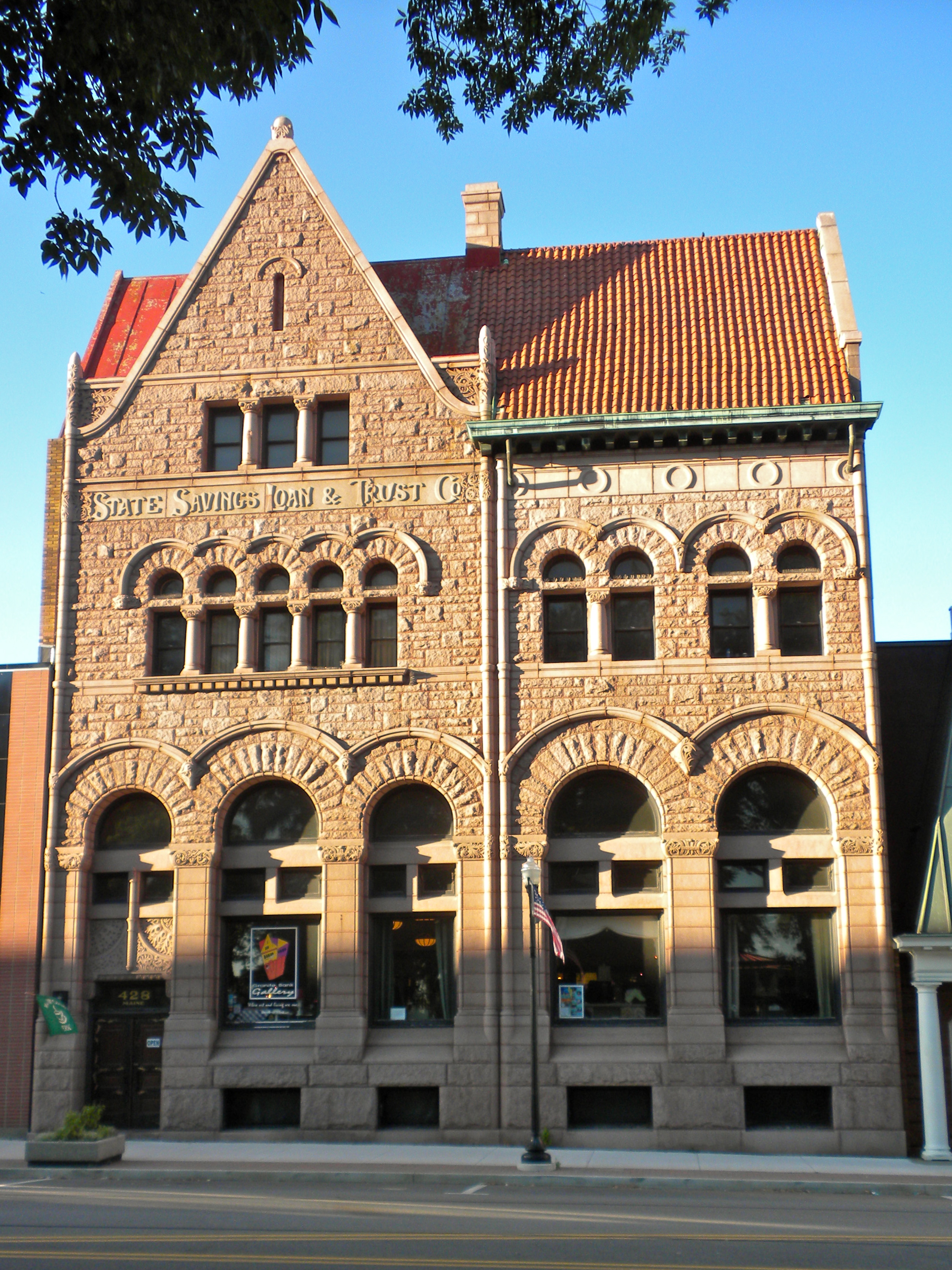
39°55′33″N 91°24′07″W / 39.925833°N 91.401944°WQuincy Second set of boundaries represents a boundary increase of April 20, 1995 18 State Savings Loan and Trust 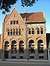
March 23, 1979 428 Maine St.
39°55′55″N 91°24′32″W / 39.931944°N 91.408889°WQuincy 19 F. D. Thomas House F. D. Thomas HouseJuly 28, 1983 321 N. Ohio St.
40°02′50″N 91°03′50″W / 40.047222°N 91.063889°WCamp Point 20 U.S. Post Office and Courthouse 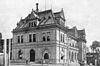
December 2, 1977 200 N. 8th St.
39°56′01″N 91°24′10″W / 39.933611°N 91.402778°WQuincy 21 Ursa Town Hall Ursa Town HallMarch 1, 2002 109 S. Warsaw St.
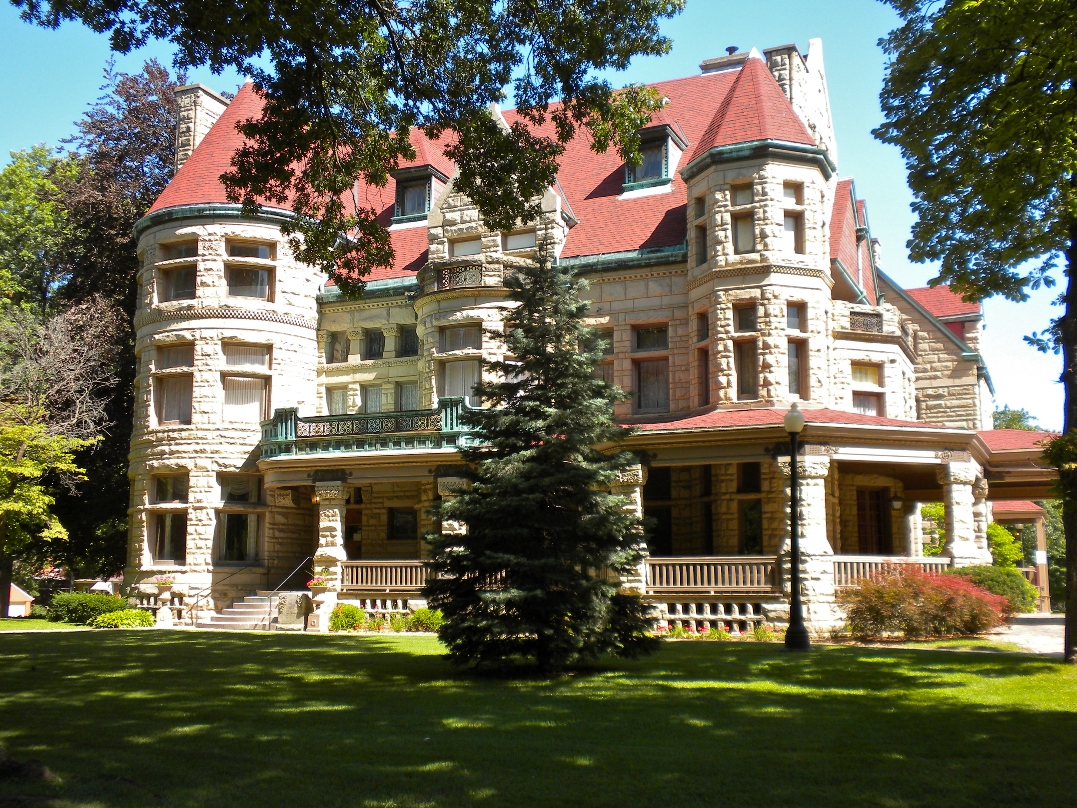
40°04′32″N 91°21′59″W / 40.075556°N 91.366389°WUrsa 22 Villa de Kathrine 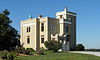
December 8, 1978 532 S. 3rd
39°55′33″N 91°24′46″W / 39.925833°N 91.412778°WQuincy 23 William S. Warfield House 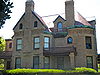
March 21, 1979 1624 Maine St.
39°55′53″N 91°23′23″W / 39.931389°N 91.389722°WQuincy 24 Ernest M. Wood Office and Studio 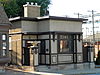
August 12, 1982 126 N. 8th St.
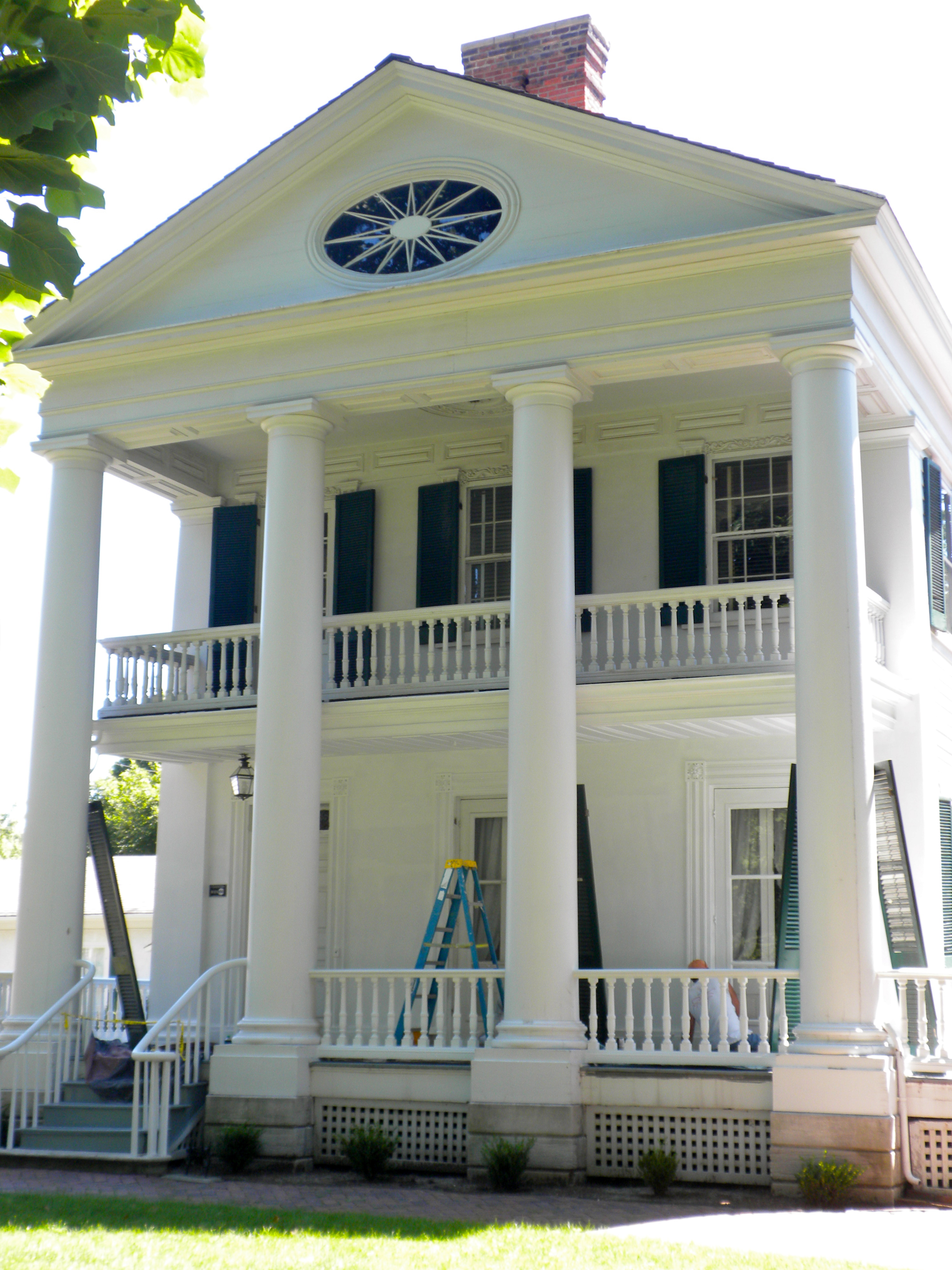
39°55′57″N 91°24′10″W / 39.9325°N 91.402778°WQuincy 25 John Wood Mansion 
April 17, 1970 425 S. 12th St.
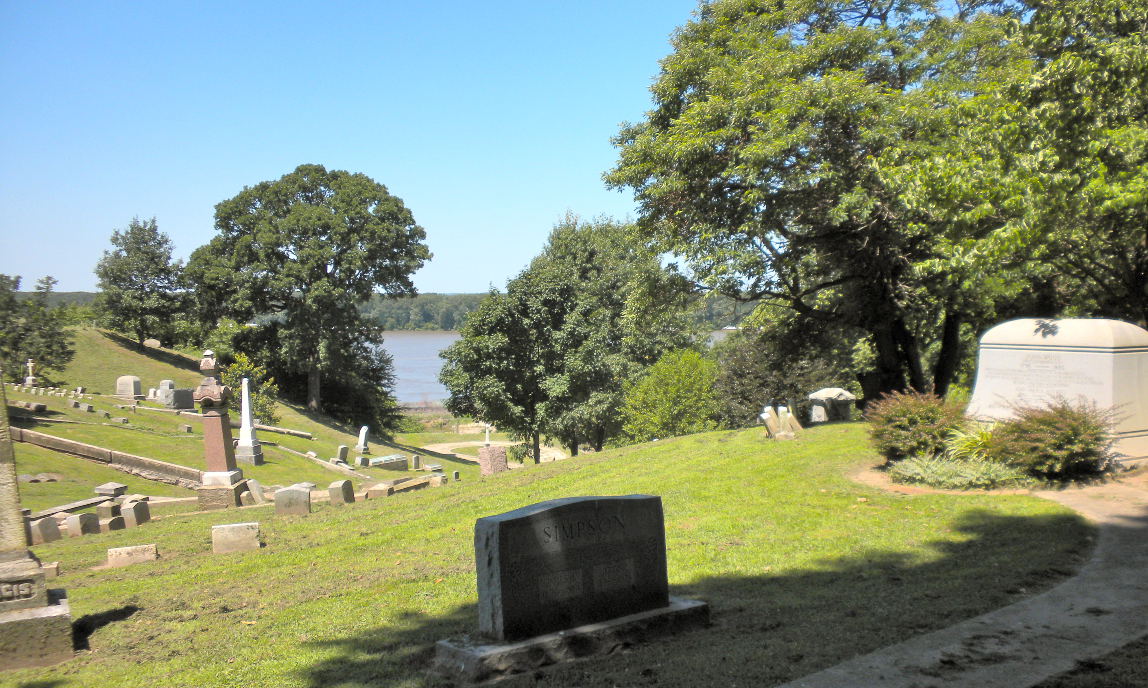
39°55′39″N 91°23′45″W / 39.9275°N 91.395833°WQuincy 26 Woodland Cemetery 
March 1, 2002 1020 S. Fifth St.
39°55′01″N 91°12′55″W / 39.916944°N 91.215278°WQuincy See also
- List of National Historic Landmarks in Illinois
- National Register of Historic Places listings in Illinois
- List of attractions in Quincy, Illinois
References
- ^ "National Register of Historic Places: Weekly List Actions". National Park Service, United States Department of the Interior. Retrieved on November 10, 2011.
- ^ Numbers represent an ordering by significant words. Various colorings, defined here, differentiate National Historic Landmark sites and National Register of Historic Places Districts from other NRHP buildings, structures, sites or objects.
U.S. National Register of Historic Places Topics Lists by states Alabama • Alaska • Arizona • Arkansas • California • Colorado • Connecticut • Delaware • Florida • Georgia • Hawaii • Idaho • Illinois • Indiana • Iowa • Kansas • Kentucky • Louisiana • Maine • Maryland • Massachusetts • Michigan • Minnesota • Mississippi • Missouri • Montana • Nebraska • Nevada • New Hampshire • New Jersey • New Mexico • New York • North Carolina • North Dakota • Ohio • Oklahoma • Oregon • Pennsylvania • Rhode Island • South Carolina • South Dakota • Tennessee • Texas • Utah • Vermont • Virginia • Washington • West Virginia • Wisconsin • WyomingLists by territories Lists by associated states Other Categories:- Adams County, Illinois
- National Register of Historic Places in Illinois by county
- National Register of Historic Places in Adams County, Illinois
-


Wikimedia Foundation. 2010.