- National Register of Historic Places listings in Adams County, Mississippi
-
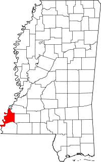 Location of Adams County in Mississippi
This is a list of the National Register of Historic Places listings in Adams County, Mississippi.
This is intended to be a complete list of the properties and districts on the National Register of Historic Places in Adams County, Mississippi, United States. Latitude and longitude coordinates are provided for many National Register properties and districts; these locations may be seen together in a Google map.[1]
There are 118 properties and districts listed on the National Register in the county, including 13 National Historic Landmarks.
-
- This National Park Service list is complete through NPS recent listings posted November 10, 2011.[2]
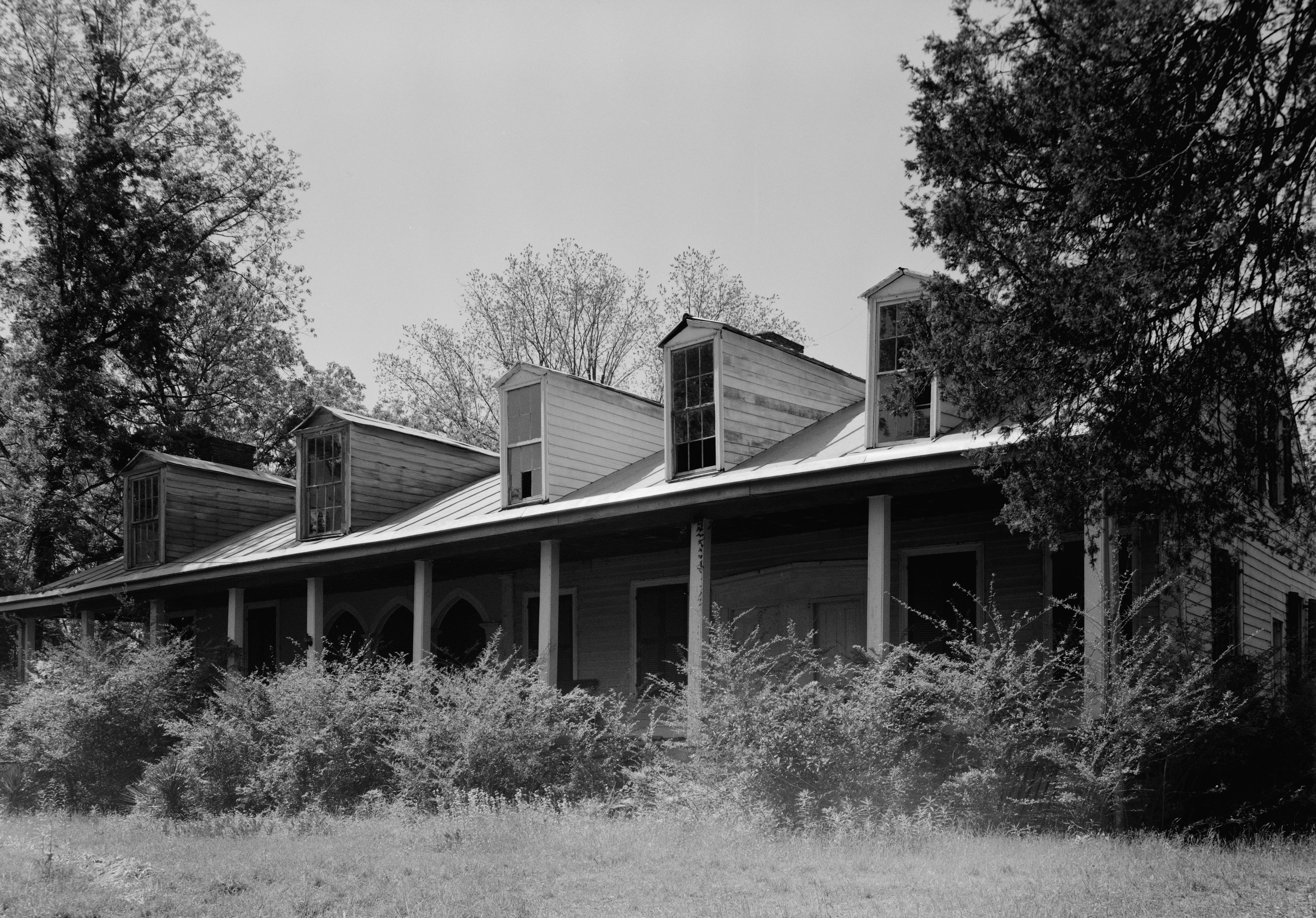
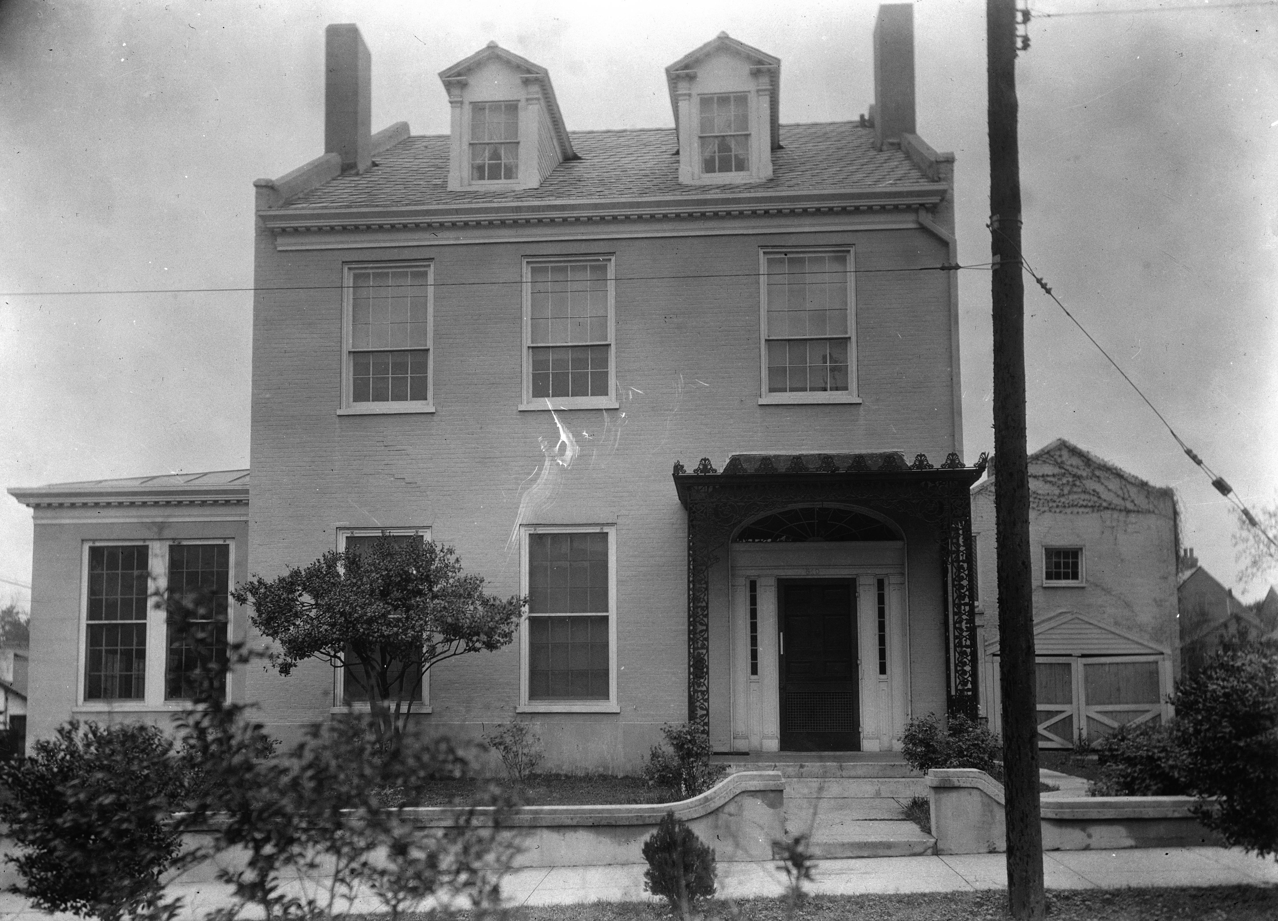
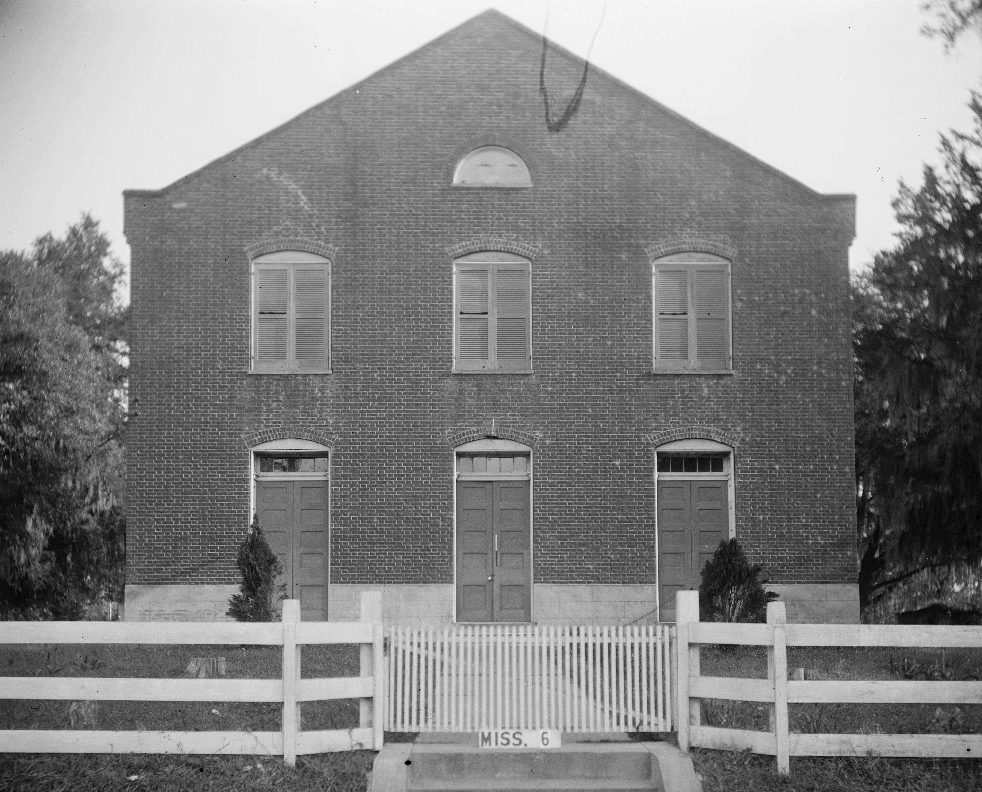
Current listings
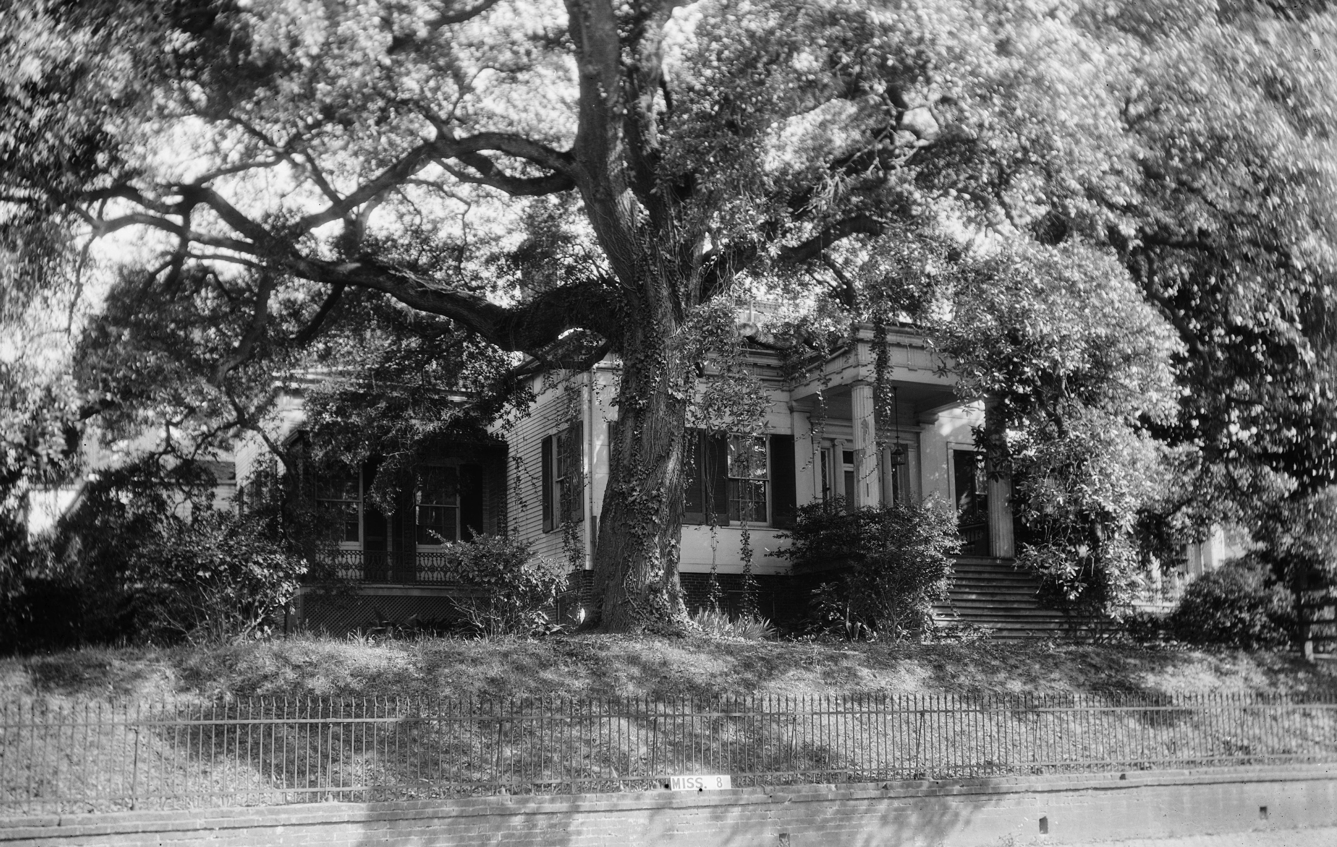
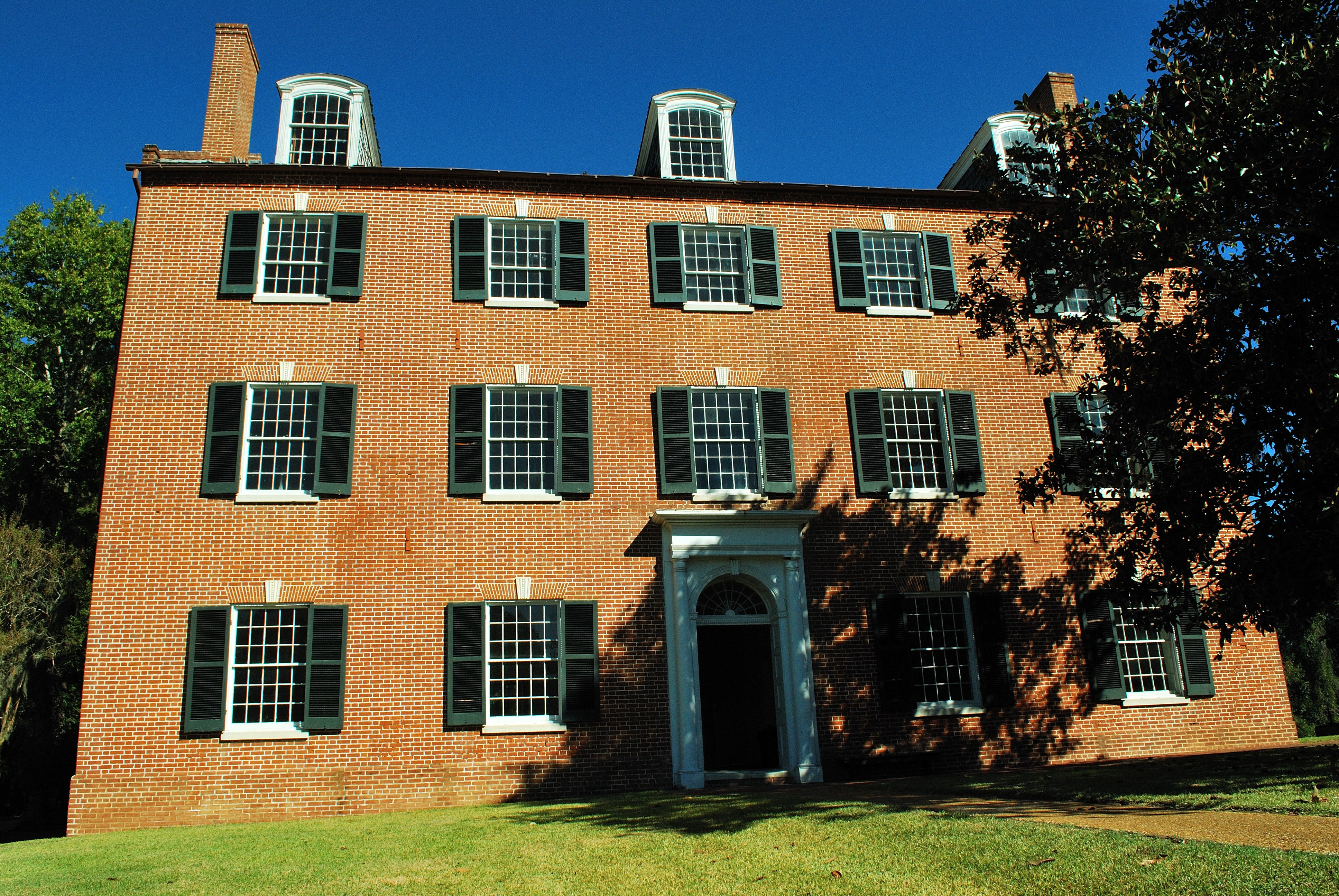
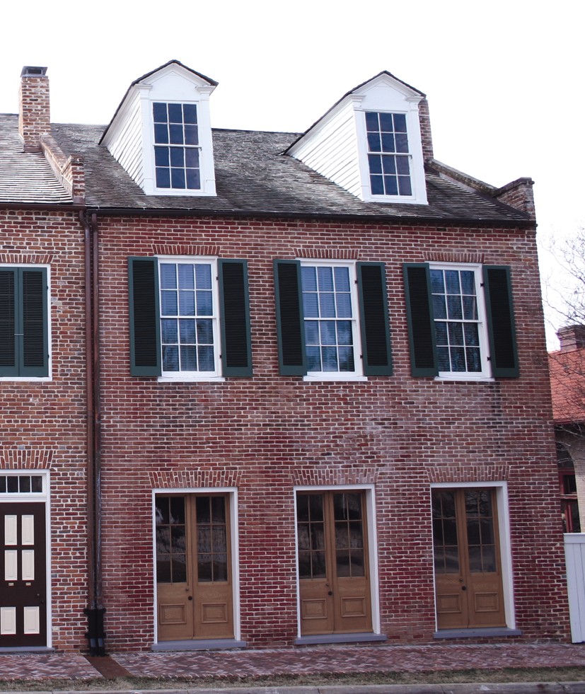
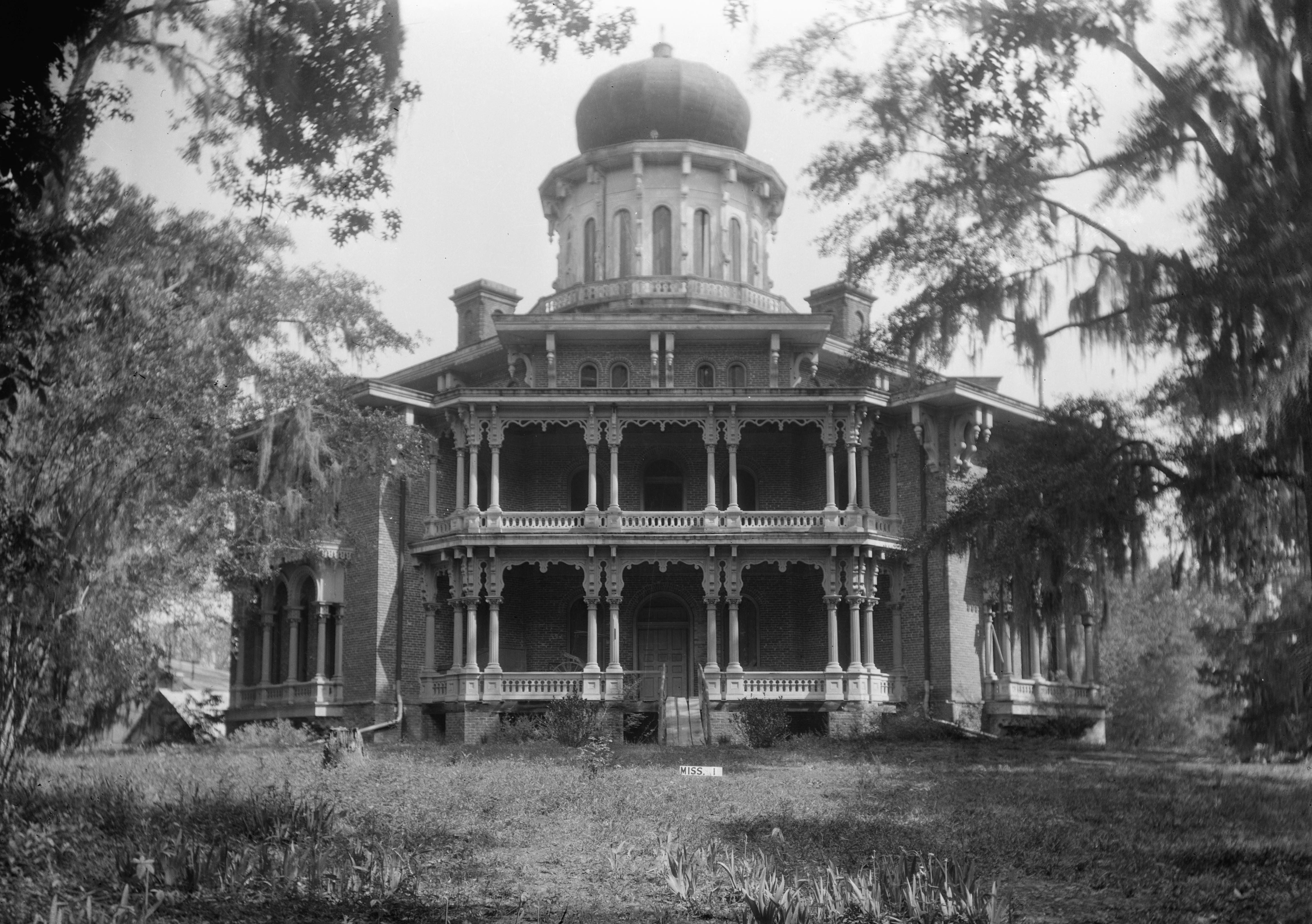
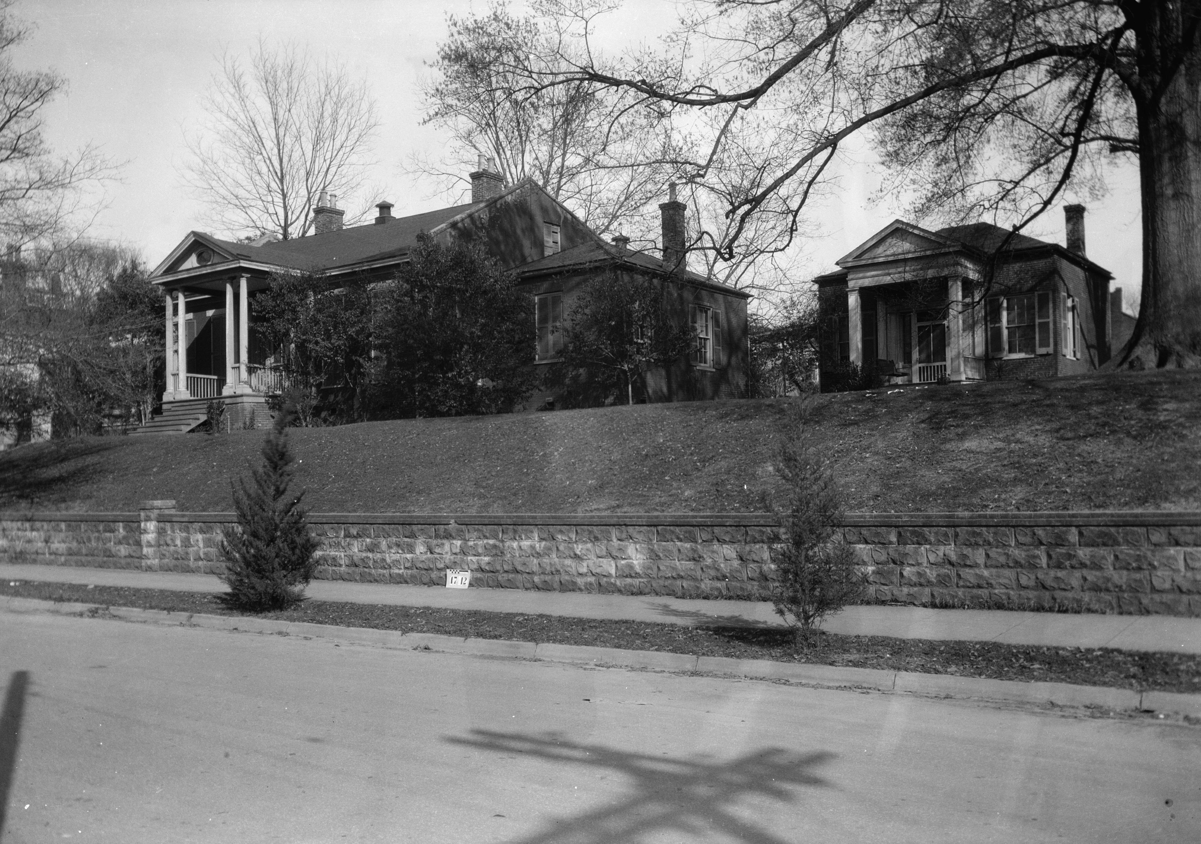
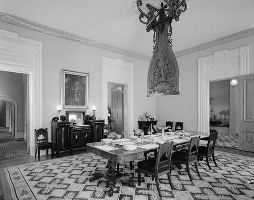
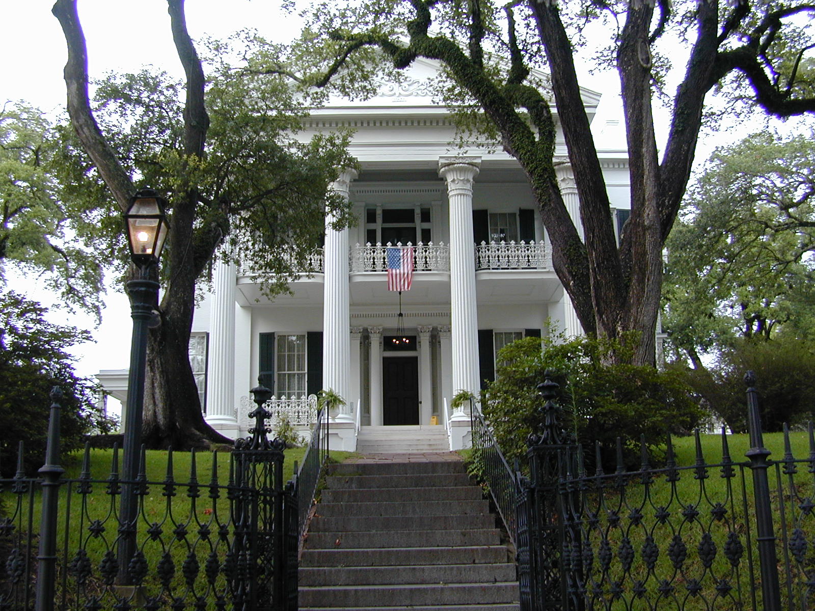
[3] Landmark name[4] Image Date listed Location City or Town Summary 1 William Ailes House March 12, 1980 657 S. Canal St.
31°33′8″N 91°24′40″W / 31.55222°N 91.41111°WNatchez 2 Airlie 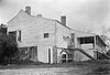
October 29, 1982 9 Elm St.
31°34′9″N 91°23′40″W / 31.56917°N 91.39444°WNatchez 3 Anna Site 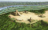
September 14, 1993 10 miles (16 km) north of Natchez
31°41′43.368″N 91°20′59.172″W / 31.69538°N 91.34977°WNatchez A Plaquemine culture archeological site that is a U.S. National Historic Landmark 4 Arlington 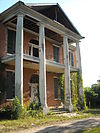
December 12, 1973 Main St.
31°33′10″N 91°23′33″W / 31.55278°N 91.3925°WNatchez 5 Assembly Hall 
April 19, 1978 Assembly and Main Sts.
31°34′45″N 91°17′52″W / 31.57917°N 91.29778°WWashington 6 Auburn 
May 30, 1974 Duncan Park
31°32′42″N 91°23′33″W / 31.545°N 91.3925°WNatchez 7 John Baynton House 
October 16, 1974 821 Main St.
31°33′24″N 91°23′53″W / 31.55667°N 91.39806°WNatchez 8 Bedford Plantation November 16, 1978 Northeast of Natchez off U.S. Route 61
31°37′0″N 91°11′52″W / 31.616667°N 91.19778°WNatchez 9 Beechland November 4, 1982 South of Natchez off U.S. Route 61
31°23′41″N 91°19′11″W / 31.39472°N 91.31972°WNatchez 10 Belvidere April 8, 1980 70 Homochitto St.
31°33′3″N 91°24′1″W / 31.55083°N 91.40028°WNatchez 11 Brandon Hall 
June 12, 1980 Northeast of Washington on U.S. Route 61
31°36′53″N 91°15′10″W / 31.61472°N 91.25278°WWashington 12 Gerard Brandon IV House March 19, 1982 708 N Union St.
31°33′53″N 91°23′48″W / 31.56472°N 91.39667°WNatchez 13 Briars 
August 24, 1977 Southwest of Natchez
31°33′6″N 91°25′10″W / 31.55167°N 91.41944°WNatchez 14 Brumfield High School October 21, 1993 100 St. Catherine St.
31°33′26″N 91°23′33″W / 31.55722°N 91.3925°WNatchez 15 Buie House July 13, 1983 Northeast of Natchez
31°38′6″N 91°16′13″W / 31.635°N 91.27028°WNatchez 16 The Burn 
July 3, 1979 307 Oak St.
31°33′55″N 91°23′46″W / 31.56528°N 91.39611°WNatchez 17 Carmel Presbyterian Church October 31, 1985 Carmel Church Rd.
31°25′53″N 91°19′34″W / 31.43139°N 91.32611°WNatchez 18 Cedar Grove March 19, 1982 Southeast of Natchez
31°25′44″N 91°17′42″W / 31.42889°N 91.295°WNatchez 19 Cemetery Bluff District October 24, 1980 Cemetery Rd.
31°34′37″N 91°23′39″W / 31.57694°N 91.39417°WNatchez 20 Cherry Grove Plantation March 31, 1983 South of Natchez off Kingston Rd.
31°27′55″N 91°21′3″W / 31.46528°N 91.35083°WNatchez 21 China Grove Plantation April 7, 1982 South of Natchez
31°24′54″N 91°22′49″W / 31.415°N 91.38028°WNatchez 22 Cliffs Plantation September 18, 1980 South of Natchez
31°27′39″N 91°24′56″W / 31.46083°N 91.41556°WNatchez 23 Clifton Heights Historic District November 12, 1982 Roughly bounded by Ridge and Mulberry Alley, Natchez Bluff, Park Ave., and Maple St.
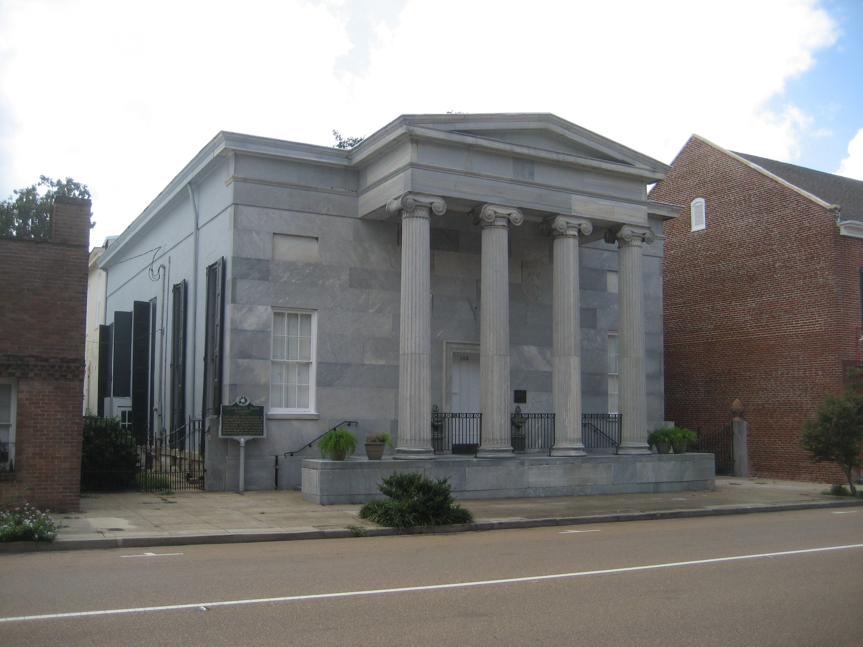
31°34′7″N 91°24′0″W / 31.56861°N 91.4°WNatchez 24 Commercial Bank and Banker's House 
May 30, 1974 206 Main St. and 107 Canal St.
31°33′39″N 91°24′18″W / 31.56083°N 91.405°WNatchez 25 Cottage Gardens July 5, 1979 816 Myrtle Ave.
31°34′8″N 91°23′43″W / 31.56889°N 91.39528°WNatchez 26 D'Evereux 
January 13, 1972 D'Evereaux Dr.
31°33′20″N 91°22′40″W / 31.55556°N 91.37778°WNatchez 27 John Dicks House March 25, 1982 802 N. Union St.
31°33′57″N 91°23′41″W / 31.56583°N 91.39472°WNatchez 28 Dixon Building May 30, 1979 514 Main St.
31°33′33″N 91°24′8″W / 31.55917°N 91.40222°WNatchez 29 Downriver Residential Historic District March 25, 1999 Roughly bounded by S. Canal St., Orleans St., the Illinois Central railroad tracks, and the bayou between Union and Rankin Sts.
31°33′18″N 91°24′25″W / 31.555°N 91.40694°WNatchez 30 Dr. Charles H. Dubs Townhouse May 5, 1978 311 N. Pearl St.
31°33′44″N 91°24′2″W / 31.56222°N 91.40056°WNatchez 31 Dunleith 
September 14, 1972 84 Homochitto St.
31°32′52″N 91°24′3″W / 31.54778°N 91.40083°WNatchez 32 Edgewood March 30, 1979 North of Natchez on Mississippi Highway 554
31°38′1″N 91°20′18″W / 31.63361°N 91.33833°WNatchez 33 Elgin January 19, 1979 South of Natchez off U.S. Route 61
31°29′1″N 91°22′56″W / 31.48361°N 91.38222°WNatchez 34 Elizabeth Female Academy Site (No. 101-3X) 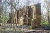
May 6, 1977 East of Natchez on U.S. Routes 84/98
31°34′30″N 91°17′36″W / 31.575°N 91.29333°WNatchez 35 Elms Court 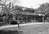
December 2, 1977 42 John R. Junkin Dr.
31°31′52″N 91°23′42″W / 31.53111°N 91.395°WNatchez 36 The Elms November 7, 1976 215 S. Pine St.
31°33′20″N 91°23′48″W / 31.55556°N 91.39667°WNatchez 37 Emerald Mound Site (22AD504) 
November 18, 1988 10 miles northeast of Natchez, off the Natchez Trace Parkway
31°38′10″N 91°14′50″W / 31.63611°N 91.24722°W[5]Stanton 38 Eola Hotel January 11, 1979 Main and Pearl Sts.
31°33′38″N 91°24′11″W / 31.56056°N 91.40306°WNatchez 39 Fair Oaks November 13, 1976 South of Natchez on U.S. Route 61
31°27′0″N 91°23′3″W / 31.45°N 91.38417°WNatchez 40 Fairchild's Creek Bridge June 8, 2005 County Road 555
31°43′31″N 91°18′49″W / 31.72528°N 91.31361°WNatchez 41 First Presbyterian Church of Natchez 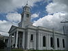
December 22, 1978 117 S. Pearl St.
31°33′32″N 91°24′13″W / 31.55889°N 91.40361°WNatchez 42 Fort Dearborn Site September 17, 1974 North of Washington off U.S. Route 61
31°35′14″N 91°17′40″W / 31.58722°N 91.29444°WWashington 43 Foster's Mound September 2, 1982 Northeast of Natchez off U.S. Route 61
31°35′58″N 91°19′39″W / 31.59944°N 91.3275°WNatchez 44 Glen Aubin August 29, 1985 Off U.S. Route 61
31°23′4″N 91°26′12″W / 31.38444°N 91.43667°WNatchez 45 Glen Mary Plantation and Tenant House July 6, 1979 Foster Mound Rd.
31°35′41″N 91°19′38″W / 31.59472°N 91.32722°WNatchez 46 Glenburnie December 19, 1978 551 John R. Junkin Dr.
31°32′8″N 91°23′33″W / 31.53556°N 91.3925°WNatchez 47 Glencannon February 8, 1990 Junction of Providence Rd. and Gov. Fleet Rd.
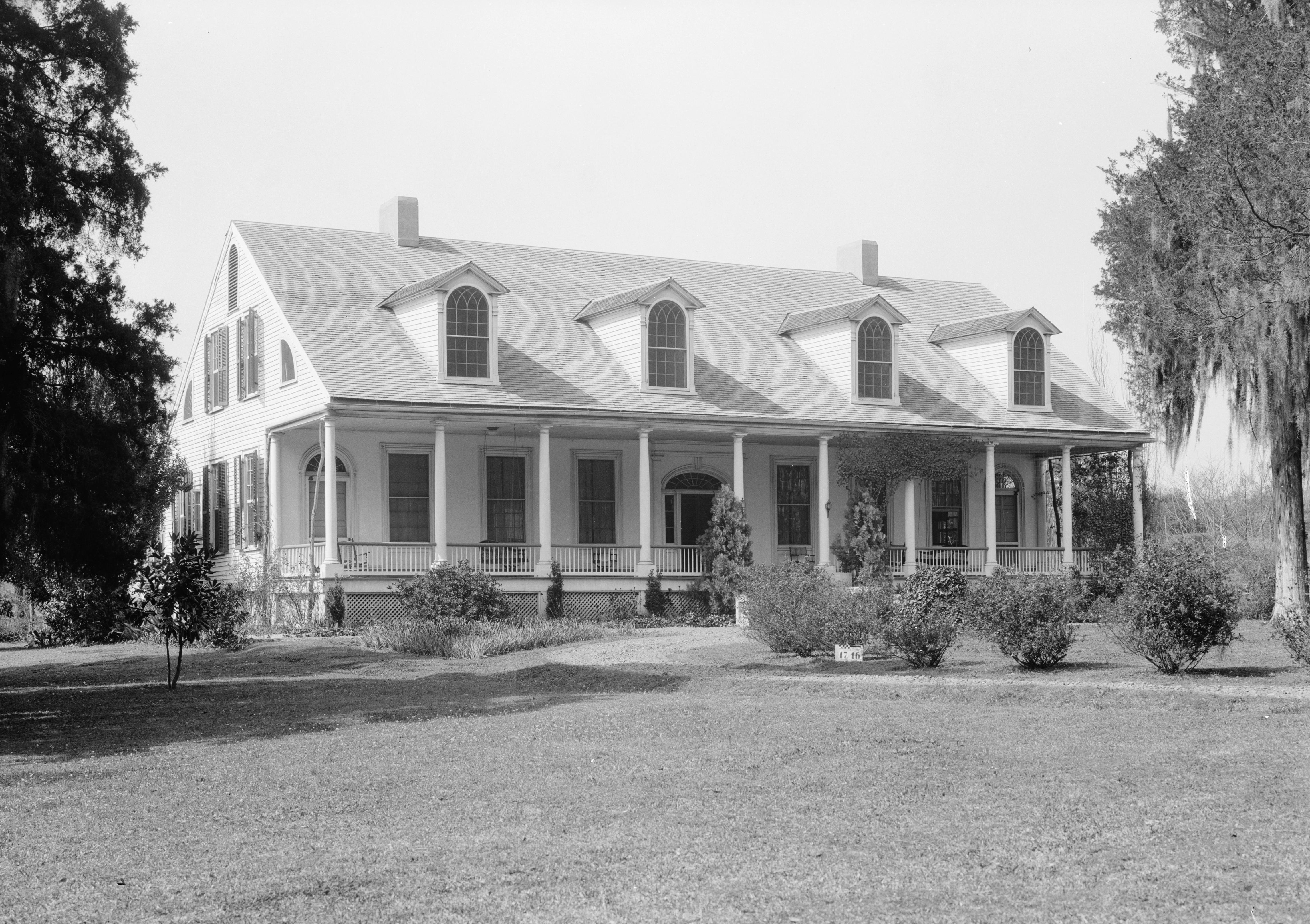
31°32′30″N 91°25′0″W / 31.54167°N 91.416667°WNatchez 48 Gloucester 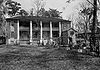
November 7, 1976 South of Natchez on Lower Woodville Rd.
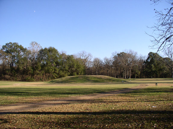
31°31′54″N 91°24′7″W / 31.53167°N 91.40194°WNatchez 49 Grand Village of the Natchez Indians 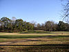
October 15, 1966 3 miles southeast of Natchez
31°31′24.95″N 91°22′45.94″W / 31.5235972°N 91.3794278°WNatchez 62 Green Leaves 
March 29, 1979 303 S. Rankin St.
31°33′21″N 91°24′7″W / 31.55583°N 91.40194°WNatchez 50 Hawthorne Place July 3, 1979 Lower Woodville Rd.
31°32′18″N 91°24′4″W / 31.53833°N 91.40111°WNatchez 51 Henderson-Britton House June 9, 1978 215 S. Pearl St.
31°33′30″N 91°24′15″W / 31.55833°N 91.40417°WNatchez 52 Hillside September 15, 1987 Hutchins Landing Rd.
31°29′47″N 91°16′54″W / 31.49639°N 91.28167°WNatchez 53 Holy Family Catholic Church Historic District July 14, 1995 Roughly along Aldrich, Old D'Evereux, St. Catherine, Abbott, and Byrne Sts.
31°33′34″N 91°23′46″W / 31.55944°N 91.39611°WNatchez 54 Hope Farm 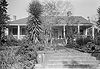
August 22, 1975 147 Homochitto St.
31°32′42″N 91°23′48″W / 31.545°N 91.39667°WNatchez 55 House on Ellicott's Hill 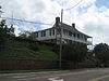
May 30, 1974 N. Canal and Jefferson Sts.
31°33′45″N 91°24′13″W / 31.5625°N 91.40361°WNatchez 56 Institute Hall 
June 20, 1979 111 S. Pearl St.
31°33′34″N 91°24′12″W / 31.55944°N 91.40333°WNatchez 57 Jefferson College 
August 25, 1970 North St.
31°35′32″N 91°17′57″W / 31.59222°N 91.29917°WWashington 58 William Johnson House 
June 16, 1976 210 State St.
31°33′34″N 91°23′29″W / 31.55944°N 91.39139°WNatchez 59 Keyhole House March 25, 1982 1016 Main St.
31°33′43″N 91°23′46″W / 31.56194°N 91.39611°WNatchez 60 King's Tavern 
May 6, 1971 611 Jefferson St.
31°33′38″N 91°23′57″W / 31.56056°N 91.39917°WNatchez 61 Kingston Methodist Church May 13, 1982 Southeast of Natchez
31°23′21″N 91°16′43″W / 31.38917°N 91.27861°WNatchez 63 Lansdowne July 24, 1978 North of Natchez on Pine Ridge Rd.
31°35′4″N 91°21′47″W / 31.58444°N 91.36306°WNatchez 64 Laurel Hill Plantation October 26, 1982 South of Natchez off U.S. Route 61
31°25′20″N 91°24′35″W / 31.42222°N 91.40972°WNatchez 65 Linden 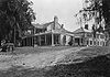
September 1, 1978 1 Linden Pl.
31°33′4″N 91°23′1″W / 31.55111°N 91.38361°WNatchez 66 Lisle-Shields Town House March 29, 1979 701 N. Union St.
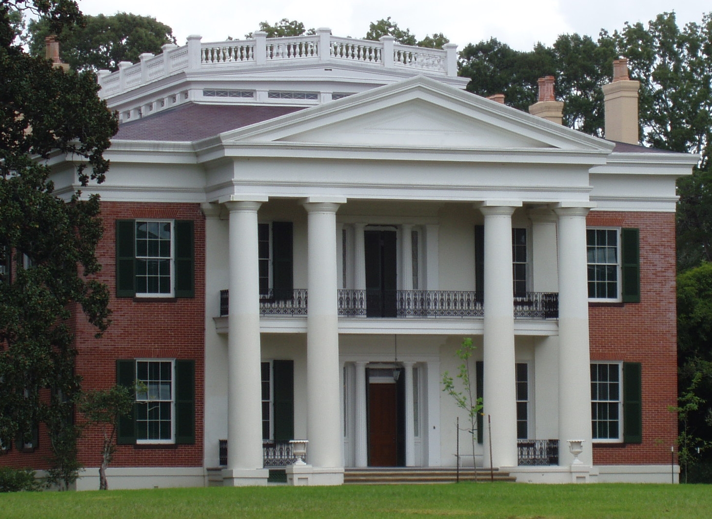
31°33′50″N 91°23′47″W / 31.56389°N 91.39639°WNatchez 67 Longwood 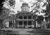
December 16, 1969 1.5 miles southeast of Natchez
31°32′12″N 91°24′17″W / 31.53667°N 91.40472°WNatchez Octagonal, unfinished antebellum mansion, known also as Nutt's Folly 68 Magnolia Hill March 30, 1979 Southeast of Natchez
31°26′40″N 91°16′40″W / 31.44444°N 91.27778°WNatchez 69 The Manse 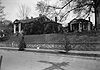
March 7, 1979 307 S. Rankin St.
31°33′20″N 91°24′9″W / 31.55556°N 91.4025°WNatchez 70 Mazique Archeological Site October 23, 1991 Address Restricted Natchez 71 Meadvilla November 17, 1982 Address Restricted Washington 72 Melrose 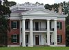
May 30, 1974 Melrose Ave.
31°32′32″N 91°22′56″W / 31.54222°N 91.38222°WNatchez 73 Mercer House August 9, 1979 118 S. Wall St.
31°33′37″N 91°24′18″W / 31.56028°N 91.405°WNatchez 74 Mistletoe October 10, 1973 Northeast of Natchez on Mississippi Highway 554
31°37′31″N 91°19′0″W / 31.62528°N 91.316667°WNatchez 75 Monmouth 
April 26, 1973 E. Franklin St. and Melrose Ave.
31°33′38″N 91°23′10″W / 31.56056°N 91.38611°WNatchez 76 Monteigne December 11, 1974 Liberty Rd.
31°33′1″N 91°22′46″W / 31.55028°N 91.37944°WNatchez 77 Montpellier December 18, 1979 Southeast of Natchez on Mississippi Highway 551
31°32′8″N 91°21′3″W / 31.53556°N 91.35083°WNatchez 78 Mount Olive November 28, 1980 Northeast of Natchez
31°37′14″N 91°20′27″W / 31.62056°N 91.34083°WNatchez 79 Mount Repose June 19, 1979 North of Natchez on Mississippi Highway 555
31°38′12″N 91°20′40″W / 31.63667°N 91.34444°WNatchez 80 Myrtle Bank December 22, 1978 408 N. Pearl St.
31°33′48″N 91°24′2″W / 31.56333°N 91.40056°WNatchez 81 Natchez On-Top-of-the-Hill Historic District September 17, 1979 U.S. Routes 61, 84, and 98
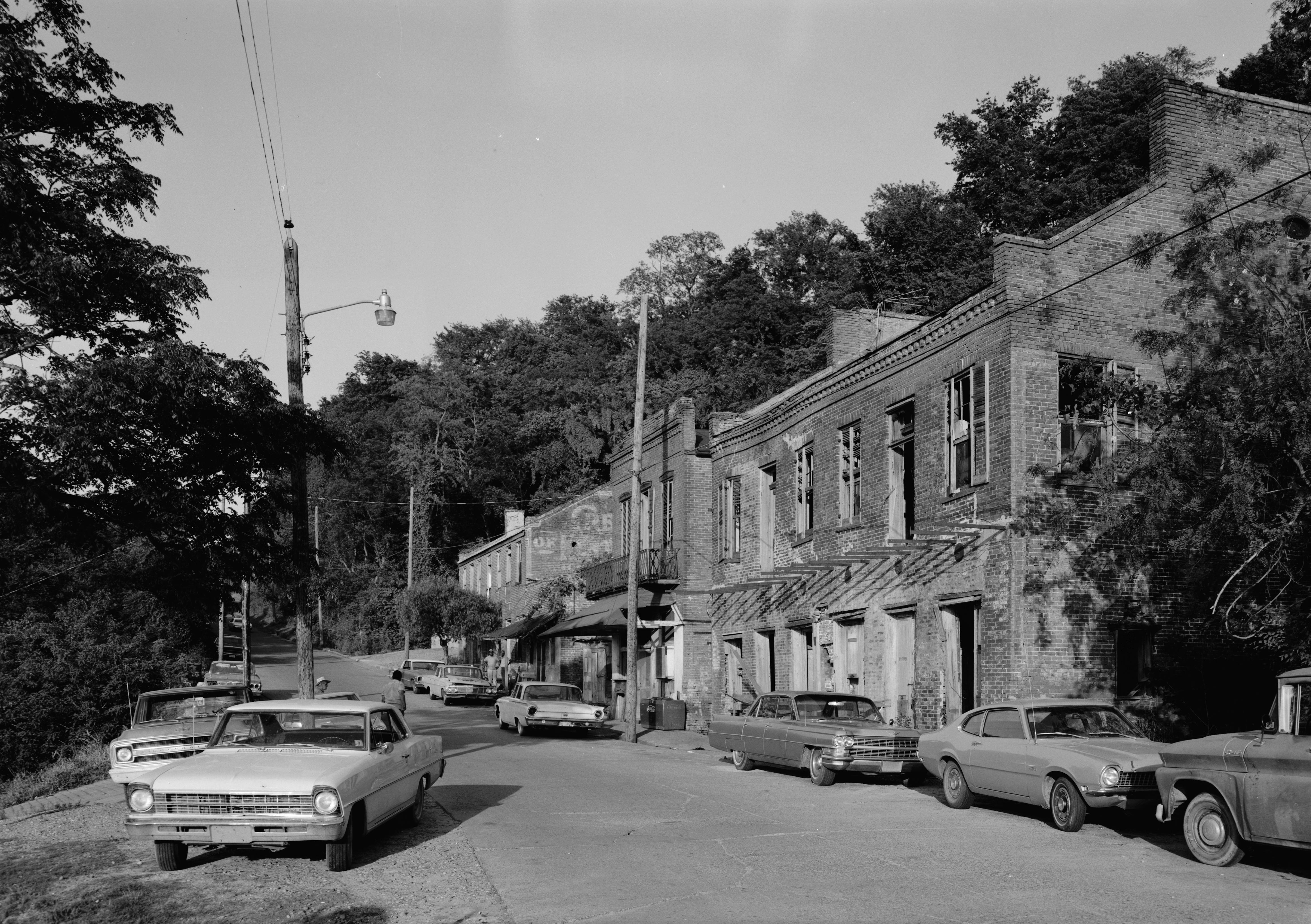
31°33′34″N 91°24′9″W / 31.55944°N 91.4025°WNatchez 82 Natchez Bluffs and Under-the-Hill Historic District 
April 11, 1972 Bounded by S. Canal St., Broadway, and Mississippi River
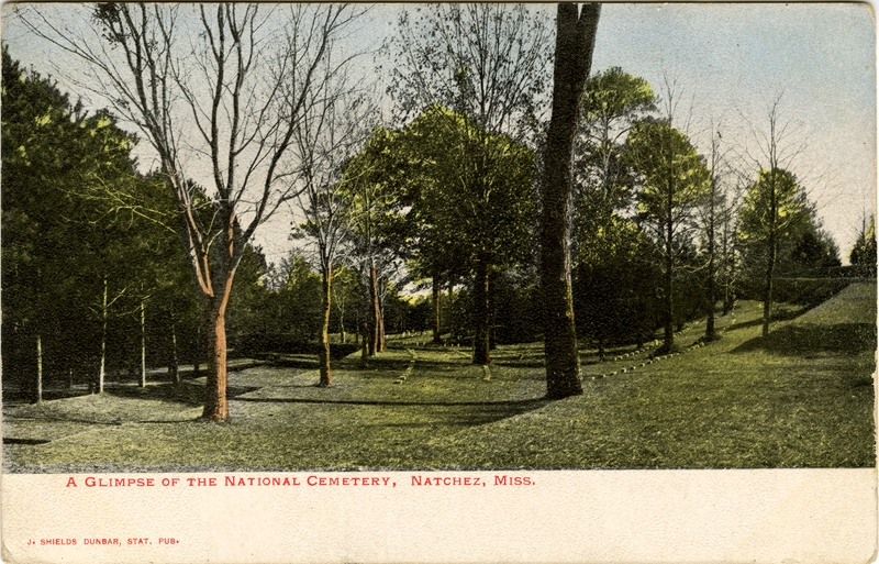
31°33′32″N 91°25′36″W / 31.55889°N 91.42667°WNatchez 83 Natchez National Cemetery 
November 22, 1999 41 Cemetery Rd.
31°34′51″N 91°23′42″W / 31.58083°N 91.395°WNatchez 84 Natchez National Historical Park 
October 7, 1988 PO Box 1208 Natchez 85 Neibert-Fisk House January 22, 1979 310 N. Wall St.
31°33′48″N 91°24′7″W / 31.56333°N 91.40194°WNatchez 86 Oakland October 21, 1976 9 Oakhurst Dr.
31°33′0″N 91°22′30″W / 31.55°N 91.375°WNatchez 87 Oakland June 29, 1989 Lower Woodville Rd.
31°24′42″N 91°24′21″W / 31.41167°N 91.40583°WNatchez 88 Oakwood May 9, 1985 Off Kingston Rd.
31°25′1″N 91°16′28″W / 31.41694°N 91.27444°WNatchez 89 Charles Patterson House June 24, 1994 506 S. Union St.
31°33′17″N 91°24′20″W / 31.55472°N 91.40556°WNatchez 90 Pine Ridge Church December 13, 1979 Northeast of Natchez at Pine Ridge Rd. and Mississippi Highway 554
31°37′51″N 91°20′57″W / 31.63083°N 91.34917°WNatchez 91 Pleasant Hill March 28, 1979 310 Pearl St.
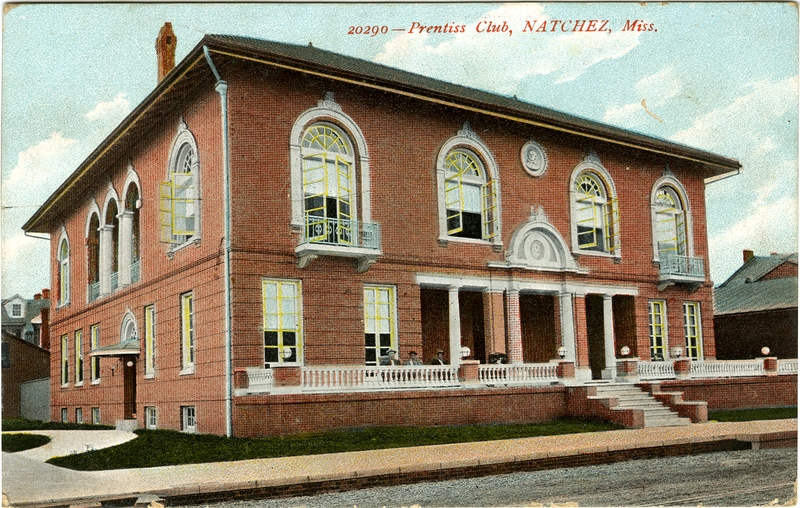
31°33′28″N 91°24′20″W / 31.55778°N 91.40556°WNatchez 92 Prentiss Club 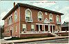
April 17, 1979 Pearl and Jefferson Sts.
31°33′42″N 91°24′6″W / 31.56167°N 91.40167°WNatchez 93 Ratcliffe Mound Site December 30, 2004 Address Restricted Washington 94 Ravenna November 4, 1982 601 S. Union St.
31°33′12″N 91°24′19″W / 31.55333°N 91.40528°WNatchez 95 Ravennaside July 5, 1979 601 S. Union St.
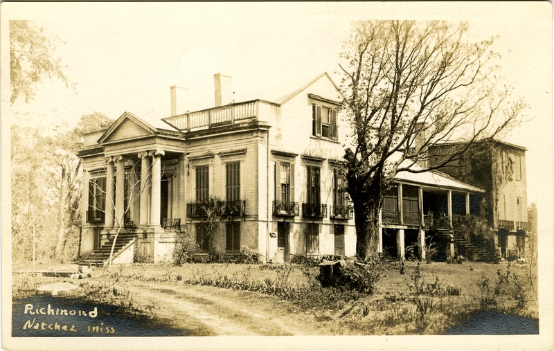
31°32′47″N 91°24′33″W / 31.54639°N 91.40917°WNatchez 96 Richmond 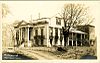
November 16, 1978 Government Fleet Rd.
31°32′47″N 91°24′33″W / 31.54639°N 91.40917°WNatchez 97 Roos House November 8, 1979 208 Linton Ave.
31°34′8″N 91°23′57″W / 31.56889°N 91.39917°WNatchez 98 Rosalie 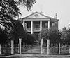
August 16, 1977 100 Orleans St.
31°33′32″N 91°24′30″W / 31.55889°N 91.40833°WNatchez 99 Routhland August 22, 1977 92 Winchester Rd.
31°33′1″N 91°23′41″W / 31.55028°N 91.39472°WNatchez 100 Saragossa 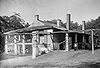
November 24, 1980 South of Natchez on Saragossa Rd.
31°29′30″N 91°24′6″W / 31.49167°N 91.40167°WNatchez 101 Selma Plantation House 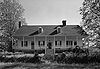
June 15, 1989 467 Selma Rd.
31°36′1″N 91°16′12″W / 31.60028°N 91.27°WNatchez 102 Shadyside March 29, 1979 107 Shadyside St.
31°33′49″N 91°23′27″W / 31.56361°N 91.39083°WNatchez 103 Smart-Griffin House May 18, 1979 180 St. Catherine St.
31°33′22″N 91°23′15″W / 31.55611°N 91.3875°WNatchez 104 Smith-Buntura-Evans House March 29, 1978 107 Broadway St.
31°33′40″N 91°24′22″W / 31.56111°N 91.40611°WNatchez 105 Smithland April 2, 1987 1 mile south of Kingston-Hutchins Rd.
31°23′3″N 91°21′13″W / 31.38417°N 91.35361°WNatchez 106 Stanton Hall 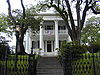
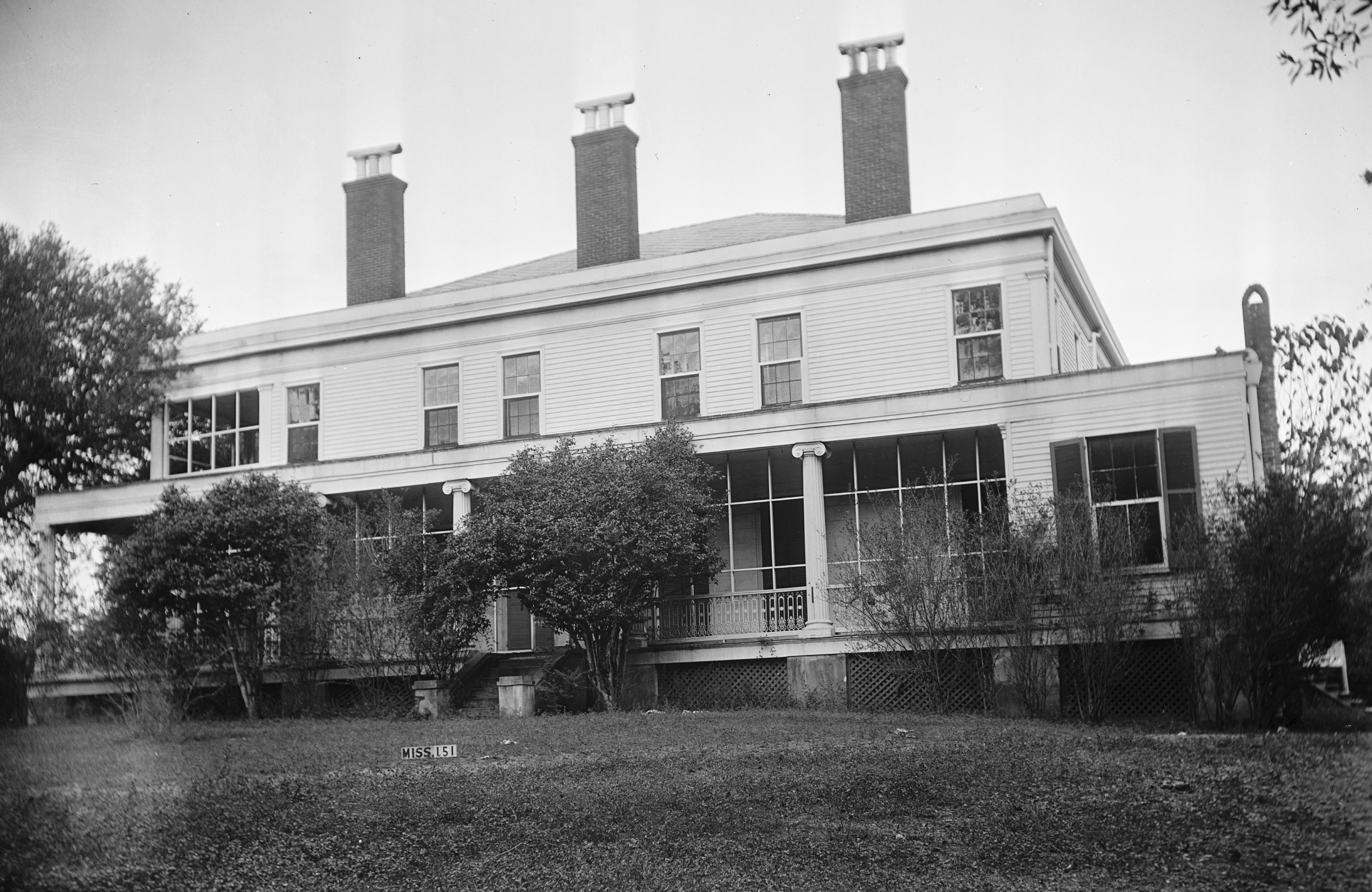
May 30, 1974 High St. between Pearl and Commerce Sts.
31°33′45″N 91°24′1″W / 31.5625°N 91.40028°WNatchez 107 Texada Tavern April 17, 1979 222 S. Wall St.
31°33′23″N 91°24′6″W / 31.55639°N 91.40167°WNatchez 108 Tillman House April 17, 1979 506 High St.
31°33′42″N 91°24′0″W / 31.56167°N 91.4°WNatchez 109 Traveller's Rest 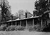
May 3, 1984 Address Restricted Natchez 110 Upriver Residential District December 1, 1983 Roughly bounded by Pine, Monroe, Elm-Bishop, and Ridge-Maple Sts.
31°34′0″N 91°23′49″W / 31.566667°N 91.39694°WNatchez 111 Van Court Town House 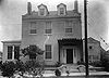
July 9, 1980 510 Washington St.
31°33′25″N 91°24′28″W / 31.55694°N 91.40778°WNatchez 112 Warren-Erwin House March 19, 1982 Palestine Rd.
31°33′26″N 91°17′53″W / 31.55722°N 91.29806°WWashington 113 Washington Methodist Church 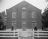
September 4, 1986 Main and Church Sts.
31°34′41″N 91°18′8″W / 31.57806°N 91.30222°WWashington 114 Weymouth Hall March 12, 1980 1 Cemetery Rd.
31°34′30″N 91°23′38″W / 31.575°N 91.39389°WNatchez 115 White Cottage October 13, 1983 71 Homochitto St.
31°33′2″N 91°23′19″W / 31.55056°N 91.38861°WNatchez 116 Winchester House January 31, 1979 816 Main St.
31°33′25″N 91°23′55″W / 31.55694°N 91.39861°WNatchez 117 Woodlawn Historic District November 7, 1995 Roughly bounded by Martin Luther King St., E. Stiers and Old College Lns., and Elm and Bishop Sts.
31°34′3″N 91°23′24″W / 31.5675°N 91.39°WNatchez 118 Woodstock June 29, 1989 Carmel Church Rd., 12 miles southeast of Natchez
31°25′33″N 91°19′30″W / 31.42583°N 91.325°WNatchez See also
- List of National Historic Landmarks in Mississippi
- National Register of Historic Places listings in Mississippi
References
- ^ The latitude and longitude information provided in this table was derived originally from the National Register Information System, which has been found to be fairly accurate for about 99% of listings. For about 1% of NRIS original coordinates, experience has shown that one or both coordinates are typos or otherwise extremely far off; some corrections may have been made. A more subtle problem causes many locations to be off by up to 150 yards, depending on location in the country: most NRIS coordinates were derived from tracing out latitude and longitudes off of USGS topographical quadrant maps created under the North American Datum of 1927, which differs from the current, highly accurate WGS84 GPS system used by Google maps. Chicago is about right, but NRIS longitudes in Washington are higher by about 4.5 seconds, and are lower by about 2.0 seconds in Maine. Latitudes differ by about 1.0 second in Florida. Some locations in this table may have been corrected to current GPS standards.
- ^ "National Register of Historic Places: Weekly List Actions". National Park Service, United States Department of the Interior. Retrieved on November 10, 2011.
- ^ Numbers represent an ordering by significant words. Various colorings, defined here, differentiate National Historic Landmark sites and National Register of Historic Places Districts from other NRHP buildings, structures, sites or objects.
- ^ "National Register Information System". National Register of Historic Places. National Park Service. 2009-03-13. http://nrhp.focus.nps.gov/natreg/docs/All_Data.html.
- ^ Location derived from this National Park Service webpage; the NRIS lists the site as "Address Restricted"
U.S. National Register of Historic Places Topics Lists by states Alabama • Alaska • Arizona • Arkansas • California • Colorado • Connecticut • Delaware • Florida • Georgia • Hawaii • Idaho • Illinois • Indiana • Iowa • Kansas • Kentucky • Louisiana • Maine • Maryland • Massachusetts • Michigan • Minnesota • Mississippi • Missouri • Montana • Nebraska • Nevada • New Hampshire • New Jersey • New Mexico • New York • North Carolina • North Dakota • Ohio • Oklahoma • Oregon • Pennsylvania • Rhode Island • South Carolina • South Dakota • Tennessee • Texas • Utah • Vermont • Virginia • Washington • West Virginia • Wisconsin • WyomingLists by territories Lists by associated states Other Municipalities and communities of Adams County, Mississippi Cities 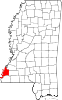
Unincorporated
communitiesMorgantown | Pine Ridge | Sibley | Stanton | Washington
Categories:- Adams County, Mississippi
- National Register of Historic Places in Mississippi by county
- Buildings and structures in Adams County, Mississippi
-


Wikimedia Foundation. 2010.