- Culbertson, Nebraska
-
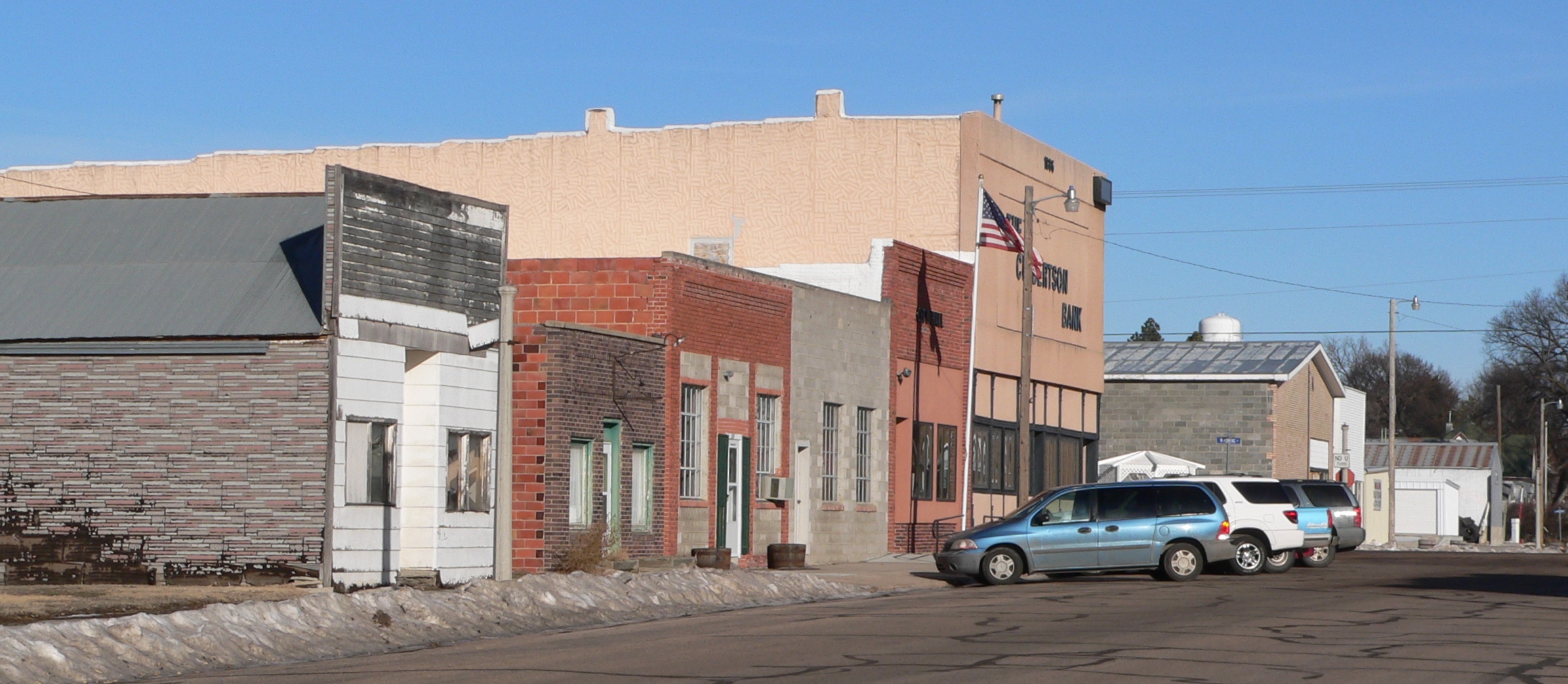
Culbertson, Nebraska — Village — Downtown Culbertson: 300 block of Taylor Ave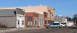 Location of Culbertson, Nebraska
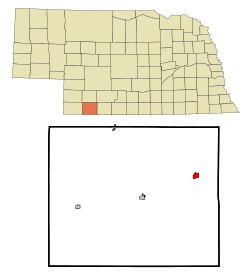
Coordinates: 40°13′49″N 100°50′10″W / 40.23028°N 100.83611°WCoordinates: 40°13′49″N 100°50′10″W / 40.23028°N 100.83611°W Country United States State Nebraska County Hitchcock Area – Total 0.8 sq mi (2.2 km2) – Land 0.8 sq mi (2.2 km2) – Water 0.0 sq mi (0.0 km2) Elevation 2,605 ft (794 m) Population (2000) – Total 594 – Density 702.7/sq mi (271.3/km2) Time zone Central (CST) (UTC-6) – Summer (DST) CDT (UTC-5) ZIP code 69024 Area code(s) 308 FIPS code 31-11615[1] GNIS feature ID 0828508[2] Culbertson is a village in Hitchcock County, Nebraska, United States. The population was 594 at the 2000 census.
Contents
Geography
Culbertson is located at 40°13′49″N 100°50′10″W / 40.230260°N 100.836224°W (40.230260, -100.836224).[3]
According to the United States Census Bureau, the village has a total area of 0.9 square miles (2.3 km2), all of it land.
Demographics
As of the census[1] of 2000, there were 594 people, 251 households, and 184 families residing in the village. The population density was 702.7 people per square mile (269.8/km2). There were 290 housing units at an average density of 343.1 per square mile (131.7/km2). The racial makeup of the village was 98.32% White, 0.17% African American, 0.34% Native American, and 1.18% from two or more races. Hispanic or Latino of any race were 2.02% of the population.
There were 251 households out of which 29.1% had children under the age of 18 living with them, 62.5% were married couples living together, 9.2% had a female householder with no husband present, and 26.3% were non-families. 24.3% of all households were made up of individuals and 14.7% had someone living alone who was 65 years of age or older. The average household size was 2.37 and the average family size was 2.81.
In the village the population was spread out with 23.2% under the age of 18, 6.2% from 18 to 24, 23.6% from 25 to 44, 24.7% from 45 to 64, and 22.2% who were 65 years of age or older. The median age was 43 years. For every 100 females there were 86.2 males. For every 100 females age 18 and over, there were 86.1 males.
The median income for a household in the village was $32,727, and the median income for a family was $39,875. Males had a median income of $31,607 versus $17,212 for females. The per capita income for the village was $16,238. About 3.5% of families and 6.6% of the population were below the poverty line, including 7.1% of those under age 18 and 7.6% of those age 65 or over.
Notable native
- Steve Brooks (jockey) - Born in nearby rural area.
References
- ^ a b "American FactFinder". United States Census Bureau. http://factfinder.census.gov. Retrieved 2008-01-31.
- ^ "US Board on Geographic Names". United States Geological Survey. 2007-10-25. http://geonames.usgs.gov. Retrieved 2008-01-31.
- ^ "US Gazetteer files: 2010, 2000, and 1990". United States Census Bureau. 2011-02-12. http://www.census.gov/geo/www/gazetteer/gazette.html. Retrieved 2011-04-23.
Municipalities and communities of Hitchcock County, Nebraska Villages 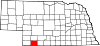
Footnotes ‡This populated place also has portions in an adjacent county or counties
Categories:- Populated places in Hitchcock County, Nebraska
- Villages in Nebraska

Wikimedia Foundation. 2010.