- National Register of Historic Places listings in Caldwell County, North Carolina
-
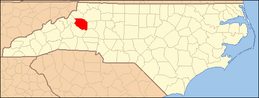
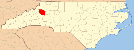
This list includes properties and districts listed on the National Register of Historic Places in Caldwell County, North Carolina. Click the "Map of all coordinates" link to the right to view a Google map of all properties and districts with latitude and longitude coordinates in the table below.[1]
-
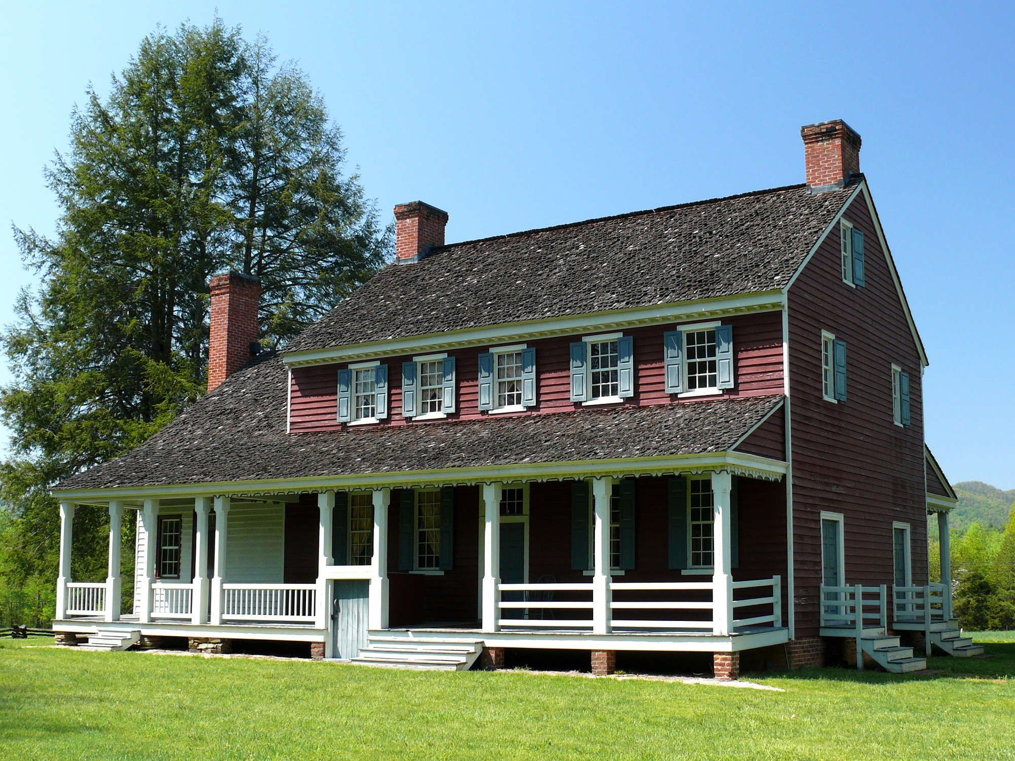
- This National Park Service list is complete through NPS recent listings posted November 10, 2011.[2]
[3] Landmark name[4] Image Date listed Location City or Town Summary 1 Caldwell County Courthouse May 10, 1979 Main St.
35°54′55″N 81°32′24″W / 35.91528°N 81.54°WLenoir 2 Clover Hill 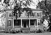
May 25, 1973 E of Patterson off NC 268 on SR 1514
35°59′41.11″N 81°31′39.55″W / 35.9947528°N 81.5276528°WPatterson 3 Dula-Horton Cemetery September 2, 2004 End of an 0.25 mile Ln, off S side of NC 268, 1.4 miles E of jct. with Grandin Rd.
36°3′45″N 81°24′56″W / 36.0625°N 81.41556°WGrandin 4 Fort Defiance 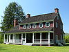
September 15, 1970 N of Lenoir on NC 268
36°1′1.21″N 81°29′42.3″W / 36.0170028°N 81.495083°WLenoir Plantation house that was home of William Lenoir (general) 5 The Fountain September 2, 2004 1677 NC 268
35°59′57″N 81°32′19″W / 35.99917°N 81.53861°WYadkin Valley 6 Green Park Historic District August 19, 1994 Jct. of US 321 and Green Hill and Rock Rds.
36°7′17″N 81°39′38″W / 36.12139°N 81.66056°WBlowing Rock 7 William Hagler House December 28, 1982 N of Grandin on SR 1510
36°3′31″N 81°24′29″W / 36.05861°N 81.40806°WGrandin 8 Lenoir Downtown Historic District September 5, 2007 Roughly bounded by Ashe Ave., Mulberry St., Harper Ave., Church St., and Boundary St. Lenoir 9 Lenoir Grammar School April 19, 2006 506 Harper St.
35°54′59″N 81°32′9″W / 35.91639°N 81.53583°WLenoir 10 Lenoir High School August 2, 1990 100 Willow St.
35°54′41″N 81°32′37″W / 35.91139°N 81.54361°WLenoir 11 Walter James Lenoir House September 2, 2004 NC 268, 0.3 miles E of jct. with NC 1513
36°0′56″N 81°30′12″W / 36.01556°N 81.50333°WYadkin Valley 12 Mariah's Chapel September 2, 2004 NC 1552, 0.4 miles SE of jct with NC 268
36°3′33″N 81°25′47″W / 36.05917°N 81.42972°WGrandin 13 Mary's Grove April 25, 2001 2121 Harper Ave., SW
35°53′54″N 81°33′56″W / 35.89833°N 81.56556°WLenoir 14 Patterson School Historic District December 22, 2004 Along both sides of NC 268 at the jct. with NC 1504
36°1′17″N 81°31′18″W / 36.02139°N 81.52167°WLegerwood 15 Edgar Allan Poe House May 18, 2001 506 Main St. NW
35°55′5″N 81°32′28″W / 35.91806°N 81.54111°WLenoir 16 Riverside September 2, 2004 SW side NC 1552, 0.3 miles SE of jct with NC 268
36°3′22″N 81°25′55″W / 36.05611°N 81.43194°WGrandin See also
- National Register of Historic Places listings in North Carolina
- List of National Historic Landmarks in North Carolina
References
- ^ The latitude and longitude information provided in this table was derived originally from the National Register Information System, which has been found to be fairly accurate for about 99% of listings. For about 1% of NRIS original coordinates, experience has shown that one or both coordinates are typos or otherwise extremely far off; some corrections may have been made. A more subtle problem causes many locations to be off by up to 150 yards, depending on location in the country: most NRIS coordinates were derived from tracing out latitude and longitudes off of USGS topographical quadrant maps created under the North American Datum of 1927, which differs from the current, highly accurate WGS84 GPS system used by Google maps. Chicago is about right, but NRIS longitudes in Washington are higher by about 4.5 seconds, and are lower by about 2.0 seconds in Maine. Latitudes differ by about 1.0 second in Florida. Some locations in this table may have been corrected to current GPS standards.
- ^ "National Register of Historic Places: Weekly List Actions". National Park Service, United States Department of the Interior. Retrieved on November 10, 2011.
- ^ Numbers represent an ordering by significant words. Various colorings, defined here, differentiate National Historic Landmark sites and National Register of Historic Places Districts from other NRHP buildings, structures, sites or objects.
- ^ "National Register Information System". National Register of Historic Places. National Park Service. 2008-04-24. http://nrhp.focus.nps.gov/natreg/docs/All_Data.html.
U.S. National Register of Historic Places Topics Lists by states Alabama • Alaska • Arizona • Arkansas • California • Colorado • Connecticut • Delaware • Florida • Georgia • Hawaii • Idaho • Illinois • Indiana • Iowa • Kansas • Kentucky • Louisiana • Maine • Maryland • Massachusetts • Michigan • Minnesota • Mississippi • Missouri • Montana • Nebraska • Nevada • New Hampshire • New Jersey • New Mexico • New York • North Carolina • North Dakota • Ohio • Oklahoma • Oregon • Pennsylvania • Rhode Island • South Carolina • South Dakota • Tennessee • Texas • Utah • Vermont • Virginia • Washington • West Virginia • Wisconsin • WyomingLists by territories Lists by associated states Other Municipalities and communities of Caldwell County, North Carolina Cities 
Towns Blowing Rock‡ | Cajah's Mountain | Gamewell | Granite Falls | Hudson | Rhodhiss‡ | Sawmills
Village CDP Unincorporated
communitiesCollettsville | Happy Valley | Patterson
Footnotes ‡This populated place also has portions in an adjacent county or counties
Categories:- Caldwell County, North Carolina
- National Register of Historic Places in North Carolina
- Buildings and structures in Caldwell County, North Carolina
-

Wikimedia Foundation. 2010.