- National Register of Historic Places listings in Madison County, North Carolina
-

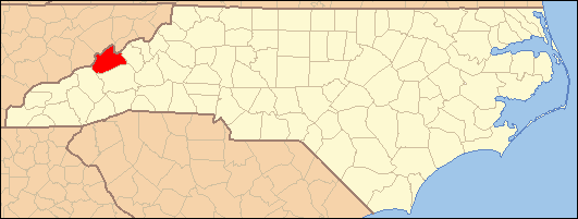
This list includes properties and districts listed on the National Register of Historic Places in Madison County, North Carolina. Click the "Map of all coordinates" link to the right to view a Google map of all properties and districts with latitude and longitude coordinates in the table below.[1]
-
- This National Park Service list is complete through NPS recent listings posted November 10, 2011.[2]
[3] Landmark name[4] Image Date listed Location City or Town Summary 1 Bank of French Broad June 10, 2004 100 Main St.
35°47′51.24″N 82°41′1.19″W / 35.7975667°N 82.6836639°WMarshall 2 California Creek Missionary Baptist Church July 12, 1984 US 23
35°52′25″N 82°30′50″W / 35.87361°N 82.51389°WMars Hill 3 Dorland Memorial Presbyterian Church July 24, 1986 Bridge St. at Meadow Ln.
35°53′32″N 82°49′43″W / 35.89222°N 82.82861°WHot Springs 4 Hot Springs Historic District February 5, 2009 Roughly bounded by Bridge St., Andrews Ave. S. and Meadow Ln.
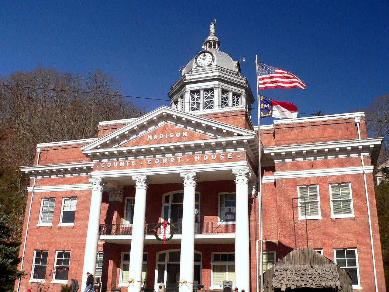
35°53′32″N 82°49′40.83″W / 35.89222°N 82.8280083°WHot Springs 5 Madison County Courthouse 
May 10, 1979 Main St.
35°47′51.63″N 82°41′2.14″W / 35.797675°N 82.6839278°WMarshall 6 Mars Hill College Historic District September 12, 2006 Bet. Bailey and Cascade Sts. N and S
35°49′36.32″N 82°33′2.42″W / 35.8267556°N 82.5506722°WMars Hill 7 Mars Hill High School September 7, 2005 734 Bailey St.
35°50′6″N 82°33′9″W / 35.835°N 82.5525°WMars Hill 8 Marshall High School August 13, 2008 Blannahassett Island. W. side Bridge St.
35°47′45.97″N 82°41′11.99″W / 35.7961028°N 82.6866639°WMarshall 9 Marshall Main Street Historic District August 16, 2007 101 N. Main St.- 165 S. Main St., Bridge St. and 33 Bailey's Branch Rd.
35°47′49.86″N 82°40′59.48″W / 35.7971833°N 82.6831889°WMarshall 10 Thomas J. Murray House June 1, 2005 Address Restricted Mars Hill 11 Henry Ottinger House March 6, 1986 391 Boys Home Rd.
35°54′35″N 82°51′13″W / 35.90972°N 82.85361°WHot Springs 12 Sunnybank May 23, 1980 NC 209 and Walnut St.
35°53′29″N 82°49′47″W / 35.89139°N 82.82972°WHot Springs 13 James H. White House December 21, 1989 5 Hill St.
35°47′53.03″N 82°41′0.42″W / 35.7980639°N 82.68345°WMarshall 14 Jeff White House June 5, 1975 NE of Marshall on NC 213
35°49′9″N 82°38′48″W / 35.81917°N 82.64667°WMarshall See also
- National Register of Historic Places listings in North Carolina
- List of National Historic Landmarks in North Carolina
References
- ^ The latitude and longitude information provided in this table was derived originally from the National Register Information System, which has been found to be fairly accurate for about 99% of listings. For about 1% of NRIS original coordinates, experience has shown that one or both coordinates are typos or otherwise extremely far off; some corrections may have been made. A more subtle problem causes many locations to be off by up to 150 yards, depending on location in the country: most NRIS coordinates were derived from tracing out latitude and longitudes off of USGS topographical quadrant maps created under North American Datum of 1927, which differs from the current, highly accurate GPS system used by Google maps. Chicago is about right, but NRIS longitudes in Washington are higher by about 4.5 seconds, and are lower by about 2.0 seconds in Maine. Latitudes differ by about 1.0 second in Florida. Some locations in this table may have been corrected to current GPS standards.
- ^ "National Register of Historic Places: Weekly List Actions". National Park Service, United States Department of the Interior. Retrieved on November 10, 2011.
- ^ Numbers represent an ordering by significant words. Various colorings, defined here, differentiate National Historic Landmark sites and National Register of Historic Places Districts from other NRHP buildings, structures, sites or objects.
- ^ "National Register Information System". National Register of Historic Places. National Park Service. 2008-04-24. http://nrhp.focus.nps.gov/natreg/docs/All_Data.html.
U.S. National Register of Historic Places Topics Lists by states Alabama • Alaska • Arizona • Arkansas • California • Colorado • Connecticut • Delaware • Florida • Georgia • Hawaii • Idaho • Illinois • Indiana • Iowa • Kansas • Kentucky • Louisiana • Maine • Maryland • Massachusetts • Michigan • Minnesota • Mississippi • Missouri • Montana • Nebraska • Nevada • New Hampshire • New Jersey • New Mexico • New York • North Carolina • North Dakota • Ohio • Oklahoma • Oregon • Pennsylvania • Rhode Island • South Carolina • South Dakota • Tennessee • Texas • Utah • Vermont • Virginia • Washington • West Virginia • Wisconsin • WyomingLists by territories Lists by associated states Other Municipalities and communities of Madison County, North Carolina Towns 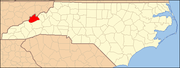
Unincorporated
communitiesBreakaway | Joe | Luck | Petersburg | Revere | Trust | Walnut
Categories:- Madison County, North Carolina
- National Register of Historic Places in North Carolina
- Buildings and structures in Madison County, North Carolina
-
Wikimedia Foundation. 2010.