- Chesapeake and Ohio Canal National Historical Park
-
Chesapeake and Ohio Canal National Historical Park IUCN Category V (Protected Landscape/Seascape)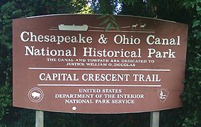

Location extending from Cumberland, MD to Georgetown, Washington, DC, USA Nearest city Washington, D.C. Coordinates 38°53′59″N 77°03′28″W / 38.89972°N 77.05778°WCoordinates: 38°53′59″N 77°03′28″W / 38.89972°N 77.05778°W Area 19,586 acres (7,926 ha) Established September 23, 1938 Visitors 3,000,005 (in 2005) Governing body National Park Service 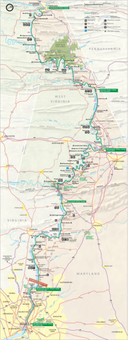 Park map
The Chesapeake and Ohio Canal National Historical Park is a United States National Historical Park located in the District of Columbia and the states of Maryland and West Virginia. The park was established as a National Monument in 1961 by President Dwight D. Eisenhower in order to preserve the neglected remains of the Chesapeake and Ohio Canal along the Potomac River along with many of the original canal structures. The canal and towpath trail extends from Georgetown, Washington, D.C. to Cumberland, Maryland, a distance of 184.5 miles (296.9 km).
Contents
The Chesapeake and Ohio Canal
Construction on the Chesapeake and Ohio Canal (also known as "the Grand Old Ditch" or the "C&O Canal") began in 1828 but was not completed until 1850.[1]:1 Even then, the canal fell far short of its intended destination of Pittsburgh, Pennsylvania. Instead, the canal terminated at Cumberland for a total distance of approximately 184.5 miles. The canal was already considered obsolete by the time it was completed because a railroad line had arrived in Cumberland eight years before the canal was finally finished. The C&O Canal operated from 1831 to 1924 and served primarily as a means to transport coal from the Allegheny Mountains to Washington D.C.[2]:6 The canal was closed in 1924 in part due to several severe floods that had a devastating impact on the financial condition of the canal.[3]
Creation of the national park
The abandoned canal was purchased in 1938 by the United States Government and placed under the care of the National Park Service, which planned to restore it as a recreation area.[4] Although the bottom 22 miles (35 km) of the canal were repaired and rewatered, the project was halted when the United States entered World War II and resources were needed elsewhere. After the war, Congress expressed interest in developing the canal and towpath as a parkway. However, the idea of turning the canal over to automobiles was opposed by some, including United States Supreme Court Associate Justice William O. Douglas. In March 1954, Douglas led an eight-day hike of the towpath from Cumberland to D.C.[4] Although 58 people participated in one part of the hike or another, only nine men, including Douglas, hiked the full 182 miles (293 km). Popular response to and press coverage of the hike turned the tide against the parkway idea and, on January 8, 1971, the canal was designated a National Historical Park.[5]
The park today
Chesapeake and Ohio Canal National Historical Park now receives more than three million recreation visits annually. The National Park Service operates visitor centers at six different locations along the canal: Georgetown, Great Falls Tavern, Brunswick, Williamsport, Hancock, and Cumberland. These visitor centers have displays and interpretive exhibits on the history of the C&O Canal.
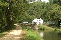
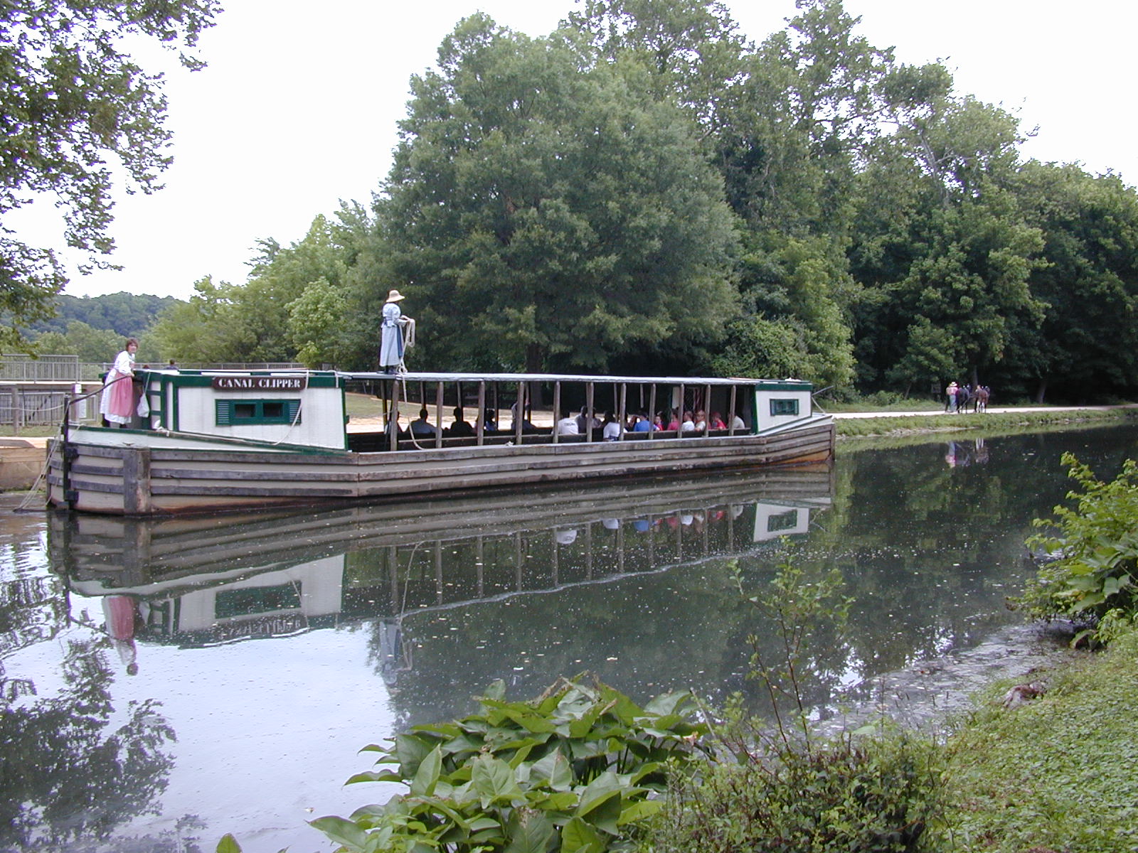
Visitors can also experience the canal by taking a ride on one of the park's two mule-powered canal boats. These restored boats operate during the summer months at both Great Falls and Georgetown.
The old canal towpath now provides a way for hikers and bikers to see the beautiful Potomac River Valley. A small portion of the towpath near Harpers Ferry National Historical Park doubles as a section of the Appalachian Trail.
Flooding continues to threaten historical structures on the canal and attempts at restoration. In January 1996, a major flood of the Potomac River inflicted extensive damage on the canal and some of the associated structures. The Park Service has rewatered portions of the canal, but the majority of the canal does not have water in it.
In Allegany County, Maryland, the park includes the Western Maryland Railroad Right-of-Way, Milepost 126 to Milepost 160, listed on the National Register of Historic Places in 1981.[6][7]
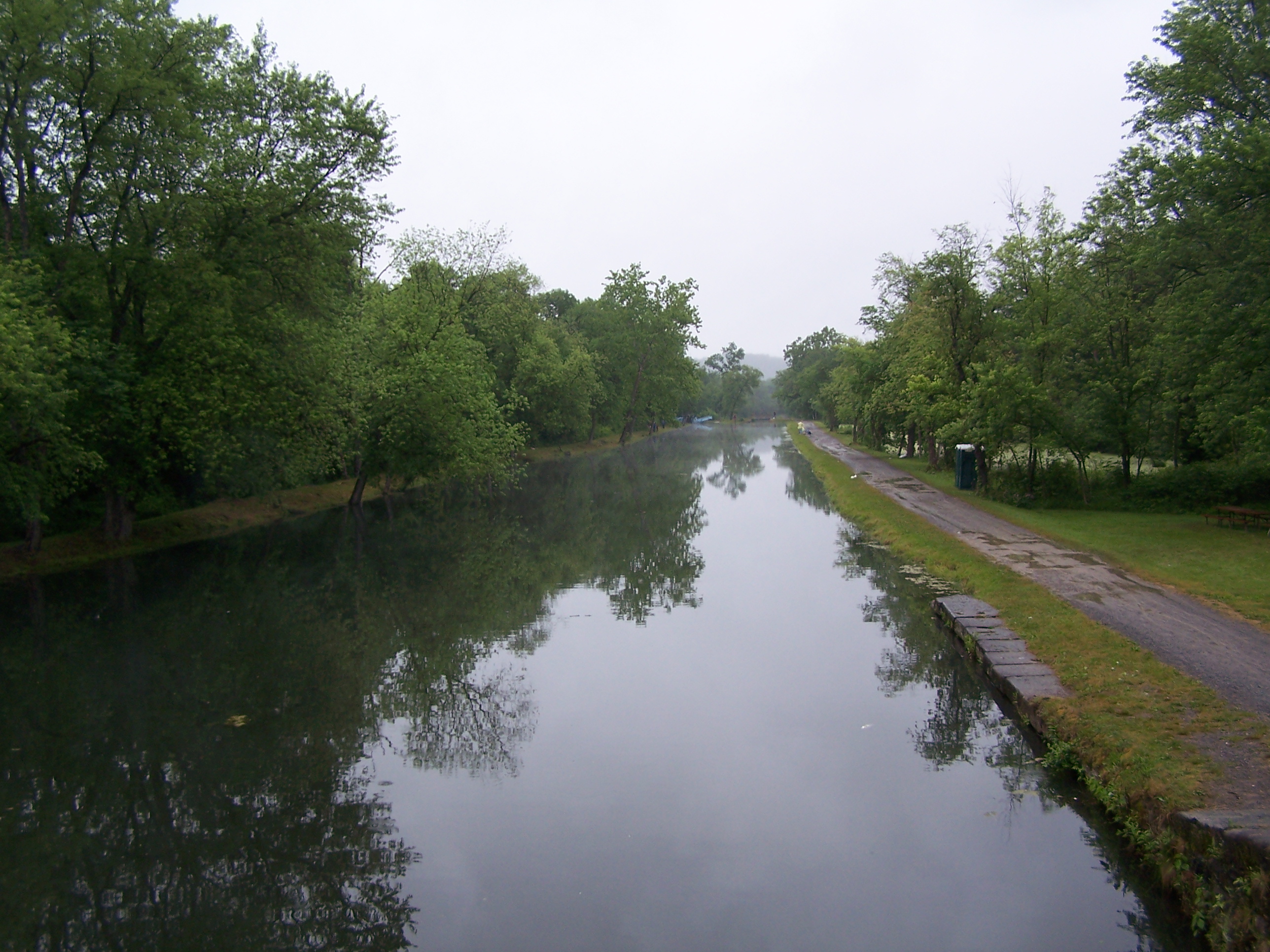
Gallery
-
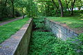
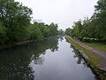
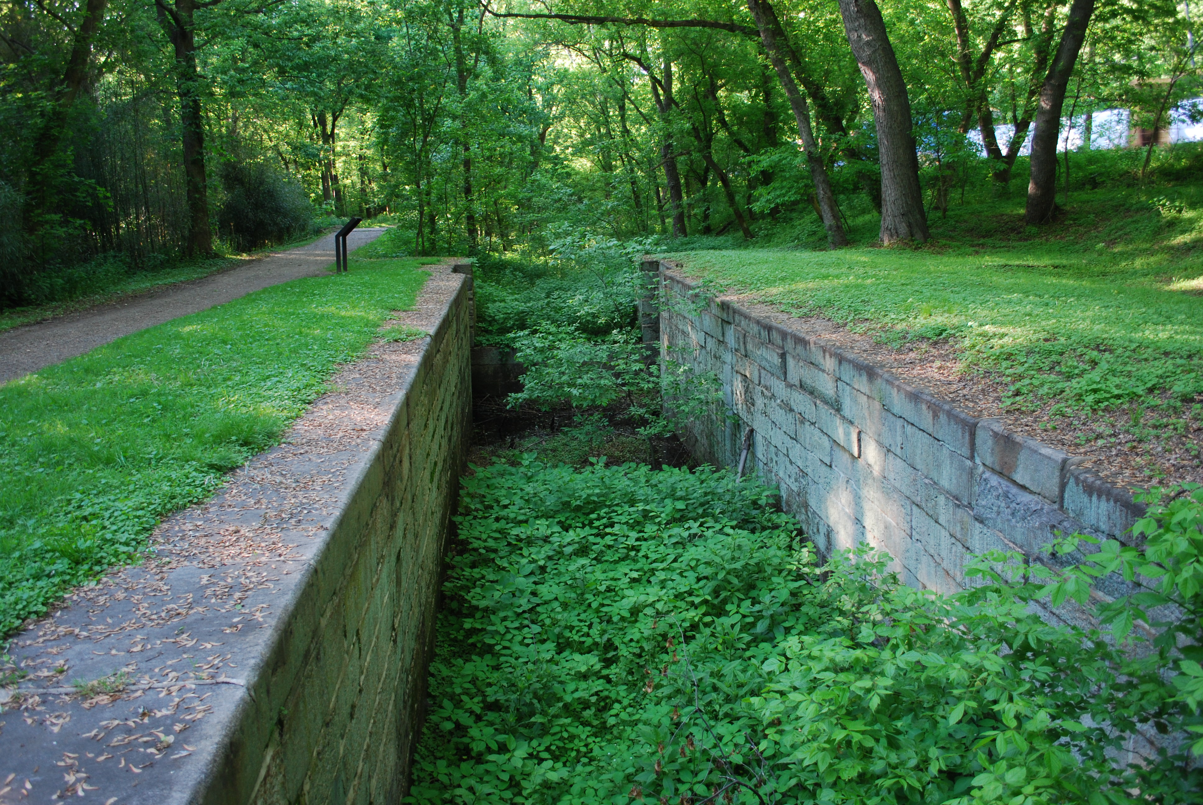
Canal at Swain's Lock
-

Canal boat along the C&O Canal near Great Falls
-
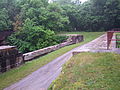
Lock 28 near Point of Rocks, Maryland
-

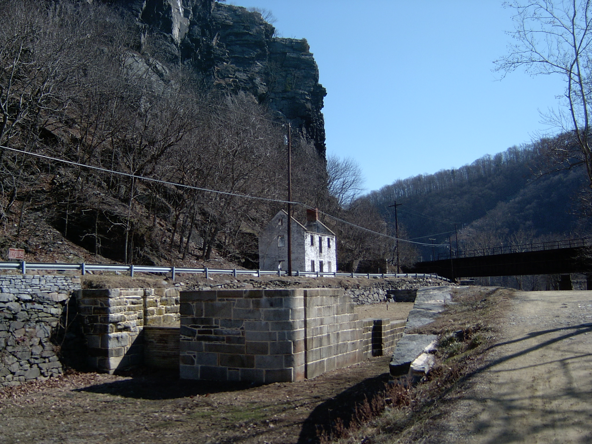
Lock 33 near Harpers Ferry, West Virginia
-
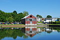
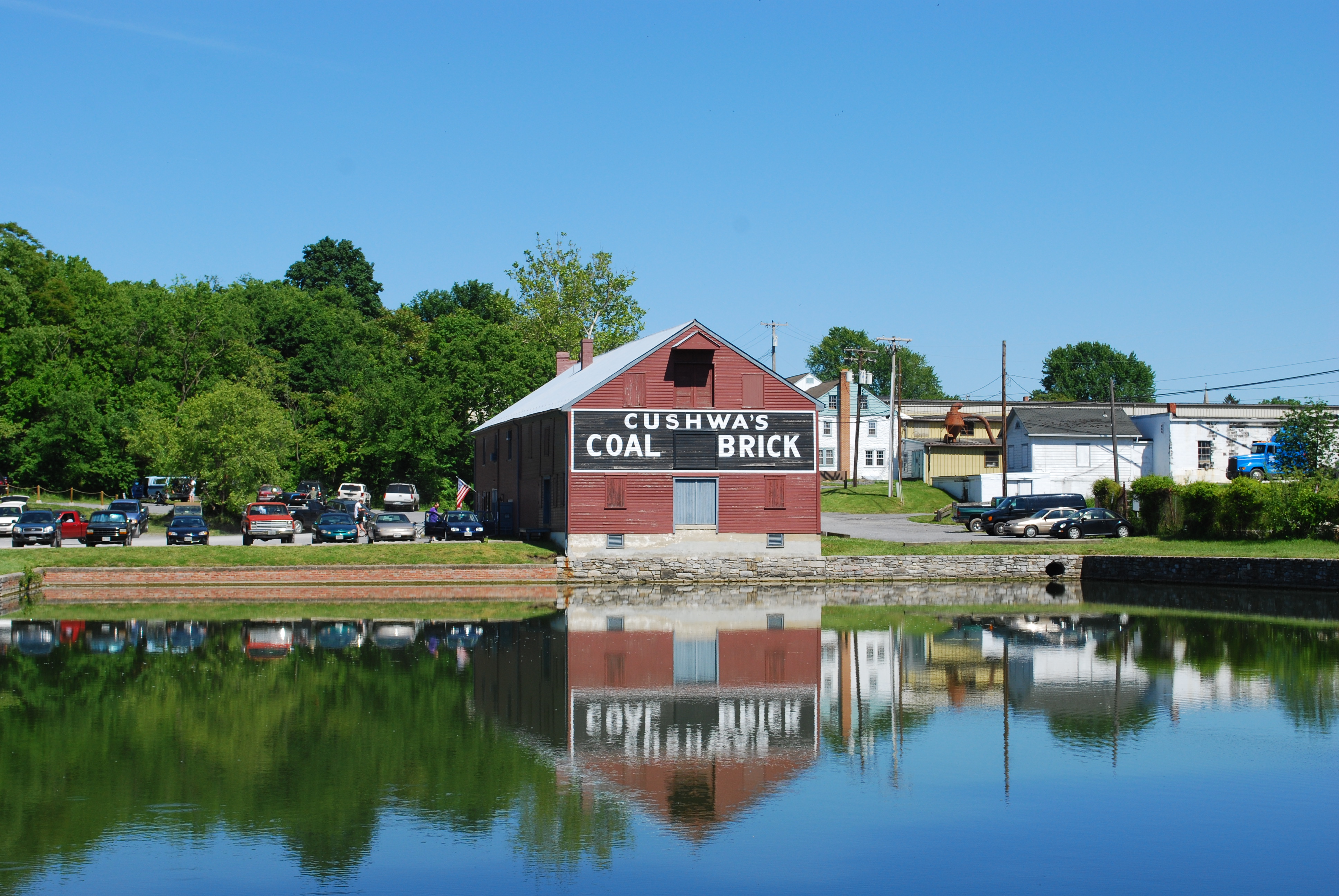
Cushwa Basin and Visitor Center at Williamsport, Maryland
-

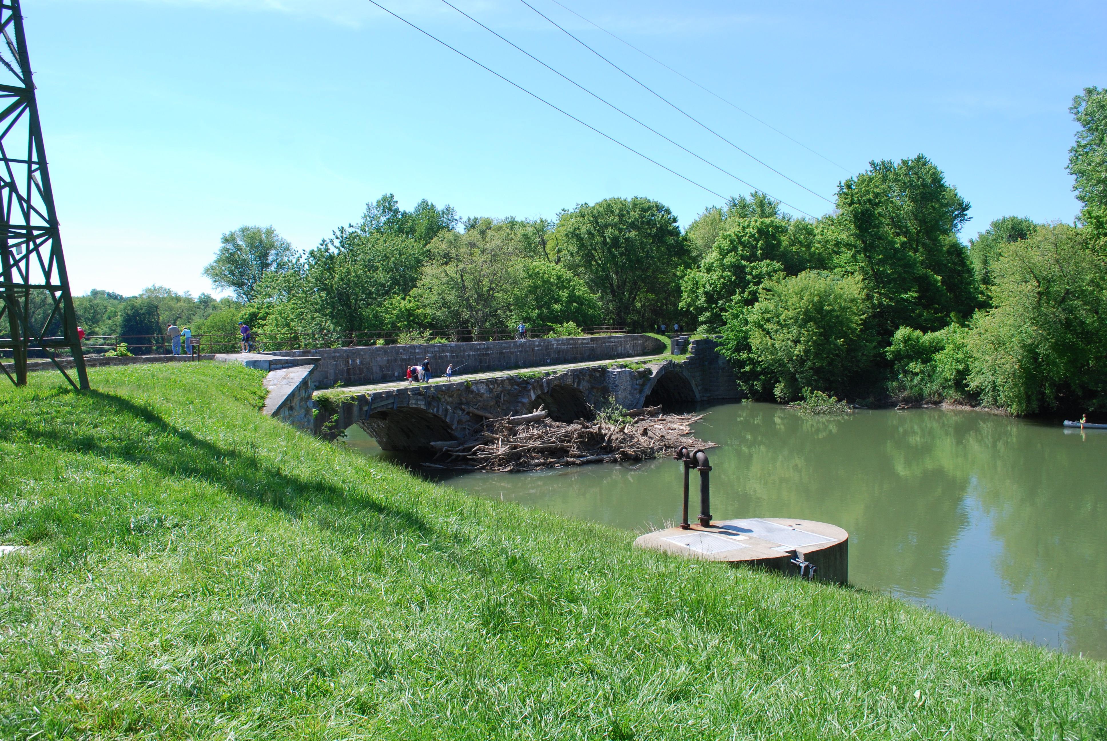
Conococheague Creek Aqueduct in Williamsport, Maryland
-
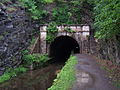
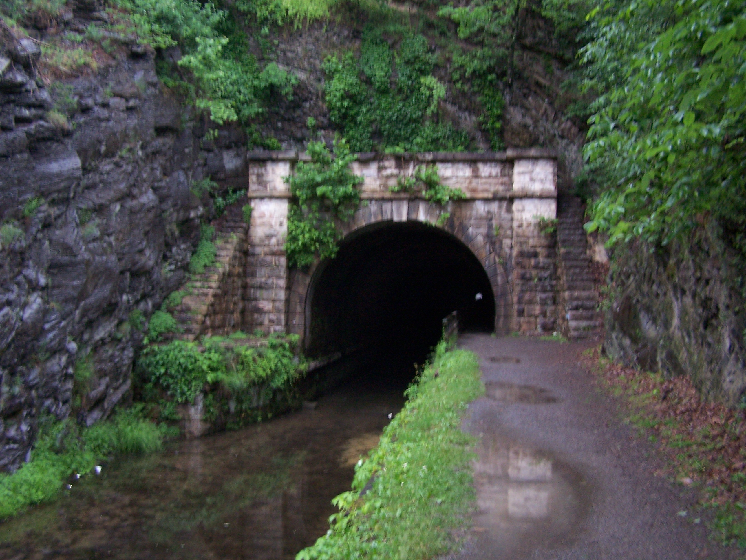
Paw Paw Tunnel near Paw Paw, West Virginia
-
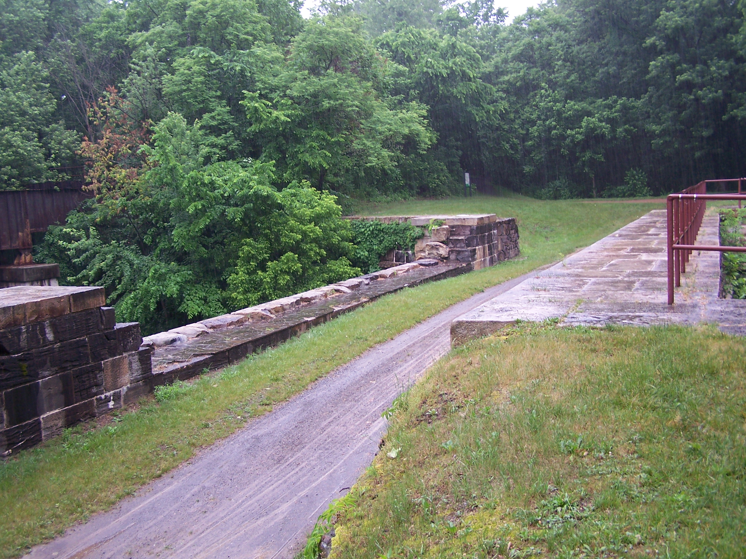
Town Creek Aqueduct in Allegany County, Maryland
-
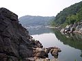
Lock 69 pool at Oldtown, Maryland
-
Cliff face at the Billy Goat Trail in Maryland
-
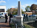
C&O canal monument located in Georgetown, DC
-

Great Falls Tavern on the C&O canal in Potomac, Maryland
See also
- Bear Island
- Billy Goat Trail
- Chesapeake and Ohio Canal Association
- Great Falls of the Potomac River
- Olmsted Island
References
- ^ Mackintosh, Barry (1991). C&O Canal: The Making of A Park. Washington, DC: National Park Service, Department of the Interior.
- ^ Hahn, Thomas (1984). The Chesapeake & Ohio Canal: Pathway to the Nation's Capital. Metuchen, New Jersey: Scarecrow Press. ISBN 0-8108-1732-2.
- ^ National Park Service. "Canal Operations". Chesapeake and Ohio Canal National Historic Park. http://www.nps.gov/choh/historyculture/canaloperation.htm. Retrieved 2010-05-11.
- ^ a b Lynch, John A.. "Justice Douglas, the Chesapeake & Ohio Canal, and Maryland Legal History". University of Baltimore Law Forum 35 (Spring 2005): 104–125.
- ^ National Park Service. "Associate Justice William O. Douglas". Chesapeake and Ohio Canal National Historic Park. http://www.nps.gov/choh/historyculture/associatejusticewilliamodouglas.htm. Retrieved 2010-05-11.
- ^ "National Register Information System". National Register of Historic Places. National Park Service. 2008-04-15. http://nrhp.focus.nps.gov/natreg/docs/All_Data.html.
- ^ "Maryland Historical Trust". National Register of Historic Places: Western Maryland Railroad Right-of-Way, Milepost 126 to Milepost 160. Maryland Historical Trust. 2008-10-05. http://mht.maryland.gov/nr/NRDetail.aspx?HDID=666&COUNTY=Allegany&FROM=NRCountyList.aspx?COUNTY=Allegany.
- Butcher, Russell D. (1997). Exploring Our National Historic Parks and Sites. Roberts Rinehart Publishers
- National Park Service. Chesapeake and Ohio Canal National Historical Park. Retrieved 2010-05-11.
External links
- CanalBird.com - "Everything About The C&O Canal"
- C&O Canal is part of the Chesapeake Bay Gateways and Watertrails Network
- The Building of the Chesapeake and Ohio Canal - A National Park Service Teaching with Historic Places (TwHP) lesson plan
City of Cumberland Subject areas Attractions • Climate • Demographics • Festivals/Events • Education • Geography • History • Media • People • Sports • Major employers • Transportation
Top subjects Allegany Arts Council • Allegany College of Maryland • Allegany Community Symphony Orchestra • Allegany Magazine • Chesapeake and Ohio Canal National Historical Park • Constitution Park • Cumberland Times-News • Cumberland Theatre • Greater Cumberland Regional Airport • Mountain Discoveries • Railfest • Western Maryland Scenic RailroadNeighborhoods Bowling Green • Downtown • East Side • Little Egypt • Haystack Mountain • North End • Shriver Ridge • South Cumberland • West Side • Wills MountainNational Historical Parks of the United States Abraham Lincoln Birthplace • Adams • Appomattox Court House • Boston • Cane River Creole • Cedar Creek and Belle Grove • Chaco Culture • Chesapeake and Ohio Canal • Colonial • Cumberland Gap • Dayton Aviation Heritage • George Rogers Clark • Harpers Ferry • Hopewell Culture • Independence • Jean Lafitte • Kalaupapa • Kaloko-Honokōhau • Keweenaw • Klondike Gold Rush • Lewis and Clark • Lowell • Lyndon B. Johnson • Marsh-Billings-Rockefeller • Minute Man • Morristown • Natchez • New Bedford Whaling • New Orleans Jazz • Nez Perce • Palo Alto Battlefield • Paterson Great Falls • Pecos • Puʻuhonua o Hōnaunau • Roosevelt Campobello International Park • Rosie the Riveter/World War II Home Front • Salt River Bay • San Antonio Missions • San Francisco Maritime • San Juan Island • Saratoga • Sitka • Thomas Edison • Tumacácori • Valley Forge • War in the Pacific • Women's Rights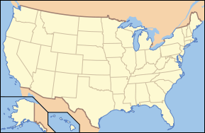
Full Alphabetical List Protected Areas of Maryland Federal Antietam National Battlefield • Chesapeake and Ohio Canal National Historical Park • Clara Barton National Historic Site • Fort McHenry National Monument and Historic Shrine • Hampton National Historic Site • Monocacy National Battlefield • Thomas Stone National Historic Site
Blackwater • Eastern Neck • Martin • Patuxent Research Refuge • Susquehanna RiverState Assateague • Big Run • Bill Burton Fishing Pier State Park • Calvert Cliffs • Casselman River Bridge • Chapel Point • Cunningham Falls • Dans Mountain • Deep Creek Lake • Elk Neck • Fort Frederick • Fort Tonoloway • Gambrill • Gathland • Greenbrier • Greenwell • Gunpowder Falls • Hart-Miller Island • Herrington Manor • Janes Island • Jonas Green • Martinak • Matapeake • New Germany • North Point • Palmer • Patapsco Valley • Patuxent River • Pocomoke River • Point Lookout • Purse • Rocks • Rocky Gap • Rosaryville • Sandy Point • Seneca Creek • Smallwood • South Mountain • St. Clement's Island • St. Mary's River • Susquehanna • Swallow Falls • Tuckahoe • Washington Monument • Wye Oak
Cedarville • Chesapeake • Doncaster • Elk Neck • Garrett • Green Ridge • Pocomoke • Potomac-Garrett • Savage River • Seth • Stoney • Wicomico
Avondale • Belle Grove • Billmeyer • Bowen • Cedar Island • Cedar Point • Cheltenham • Chicamuxen • Dan's Mountain • Deal Island • Diersson • E.A. Vaughn • Earlville • Ellis Bay • Fairmount • Fishing Bay • Frederick City Watershed • Grove Farm • Gwynnbrook • Heater's Island • Hugg-Thomas • Idylwild • Indian Springs • Islands of the Potomac • Isle of Wight • Johnson • Le Compte • Linkwood • McKee-Beshers • Maryland Marine Properties • Millington • Mt. Nebo • Myrtle Grove • Nanticoke River • Old Bohemia • Pocomoke River • Prather’s Neck • Pocomoke Sound • Sideling Hill • Sinepuxent Bay • South Marsh • Strider • Taylors Island • Warrior Mountain • Wellington
Belt Woods • Dundee • Governor Parris N. Glendening • Mattawoman • Morgan Run • Severn Run • Soldiers Delight • Zekiah Swamp
County and
MunicipalParks & SanctuariesAcorn Park • Clifton Park • Constitution Park • Fort Smallwood Park • Jug Bay Wetlands Sanctuary • Lake Centennial • Lake Elkhorn • Lakelands Park • Oregon Ridge Park • Patterson Park • Robert E. Lee Memorial ParkNon-governmental Parks & SanctuariesBattle Creek Cypress Swamp Sanctuary • Merkle Wildlife Sanctuary • Sherwood Gardens • Somers Cove Marina • Sugarloaf Mountain • Western Maryland Rail Trail • Youghiogheny Scenic & Wild River
Maryland Department of Natural Resources (web): Maryland Park Service (web) and Maryland Forest Service Protected Areas of West Virginia Federal Chesapeake and Ohio Canal National Historical Park • Harpers Ferry National Historical ParkBig Draft Wilderness • Cranberry Wilderness • Dolly Sods Wilderness • Laurel Fork North Wilderness • Laurel Fork South Wilderness • Mountain Lake Wilderness • Otter Creek Wilderness • Roaring Plains Wilderness • Spice Run WildernessState Audra • Babcock • Beartown • Beech Fork • Berkeley Springs • Blackwater Falls • Blennerhassett Island • Bluestone • Cacapon Resort • Camp Creek • Canaan Valley Resort • Carnifex Ferry Battlefield • Cass Scenic Railroad • Cathedral • Cedar Creek • Chief Logan • Droop Mountain Battlefield • Fairfax Stone • Greenbrier River Trail • Hawks Nest • Holly River • Little Beaver • Lost River • Moncove Lake • North Bend Rail Trail • North Bend • Pinnacle Rock • Pipestem Resort • Prickett's Fort • Stonewall Jackson Lake • Tomlinson Run • Tu-Endie-Wei • Twin Falls Resort • Tygart Lake • Valley Falls • Watoga • Watters Smith Memorial
Cabwaylingo • Calvin Price • Camp Creek • Coopers Rock • Greenbrier • Kanawha • Kumbrabow • Seneca
Allegheny • Amherst-Plymouth • Anawalt Lake • Bear Rock Lakes • Becky Creek • Beech Fork Lake • Berwind Lake • Beury Mountain • Big Ditch • Big Ugly • Bluestone • Burches Run • Burnsville Lake • Castleman Run Lake • Cecil H. Underwood • Center Branch • Chief Cornstalk • Conaway Run Lake • Cross Creek • Dents Run • Dunkard Fork • East Lynn Lake • Edwards Run • Elk Creek • Elk River • Fort Mill Ridge • Frozen Camp • Green Bottom • Handley • Hilbert • Hillcrest • Horse Creek • Hughes River • Huttonsville State Farm • Lantz Farm and Nature Preserve • Laurel Lake • Lewis Wetzel • Little Indian Creek • McClintic • Meadow River • Mill Creek • Moncove Lake • Morris Creek • Nathaniel Mountain • Panther • Pedlar • Pleasant Creek • Plum Orchard Lake • Pruntytown State Farm • R.D. Bailey Lake • Ritchie Mines • Sand Hill • Shannondale Springs • Short Mountain • Slatyfork • Sleepy Creek • Smoke Camp • Snake Hill • South Branch • Stonecoal Lake • Stonewall Jackson Lake • Stumptown • Summersville Lake • Tate Lohr • Teter Creek Lake • The Jug • Thorn Creek • Tug Fork • Turkey Run • Upper Deckers Creek • Upper Mud River • Valley Bend Wetlands • Wallback • Widmeyer • Woodrum Lake
West Virginia State Wildlife CenterNon-
governmentalNature
Conservancy
preservesBrush Creek • Bear Rocks • Cranesville Swamp • Greenland Gap • Hungry Beech • Ice Mountain • Mount Porte Crayon • Murphy • Panther Knob • Pike Knob • Slaty Mountain • Upper Shavers Fork • Yankauer
West Virginia Division of Forestry • West Virginia Division of Natural Resources U.S. National Register of Historic Places Topics Lists by states Alabama • Alaska • Arizona • Arkansas • California • Colorado • Connecticut • Delaware • Florida • Georgia • Hawaii • Idaho • Illinois • Indiana • Iowa • Kansas • Kentucky • Louisiana • Maine • Maryland • Massachusetts • Michigan • Minnesota • Mississippi • Missouri • Montana • Nebraska • Nevada • New Hampshire • New Jersey • New Mexico • New York • North Carolina • North Dakota • Ohio • Oklahoma • Oregon • Pennsylvania • Rhode Island • South Carolina • South Dakota • Tennessee • Texas • Utah • Vermont • Virginia • Washington • West Virginia • Wisconsin • WyomingLists by territories Lists by associated states Other  Category:National Register of Historic Places •
  Portal:National Register of Historic Places
[
Categories:- IUCN Category V
- National Historical Parks of the United States
- Hagerstown, Maryland
- Cumberland, Maryland
- National Register of Historic Places in Maryland
- National Register of Historic Places in Washington, D.C.
- National Register of Historic Places listings in Morgan County, West Virginia
- Canals on the National Register of Historic Places
- Protected areas established in 1938
- Canal museums in the United States
- United States National Park Service areas in Washington, D.C.
- Parks in Montgomery County, Maryland
- Parks in Washington, D.C.
- Parks in Washington County, Maryland
- Parks in Allegany County, Maryland
- Parks in Frederick County, Maryland
- Parks on the National Register of Historic Places in West Virginia
-


Wikimedia Foundation. 2010.