- Laurel Fork South Wilderness
Geobox|Protected Area
name = Laurel Fork South Wilderness
native_name =
other_name = Part ofMonongahela National Forest
category =Wilderness Area
category_iucn = ib
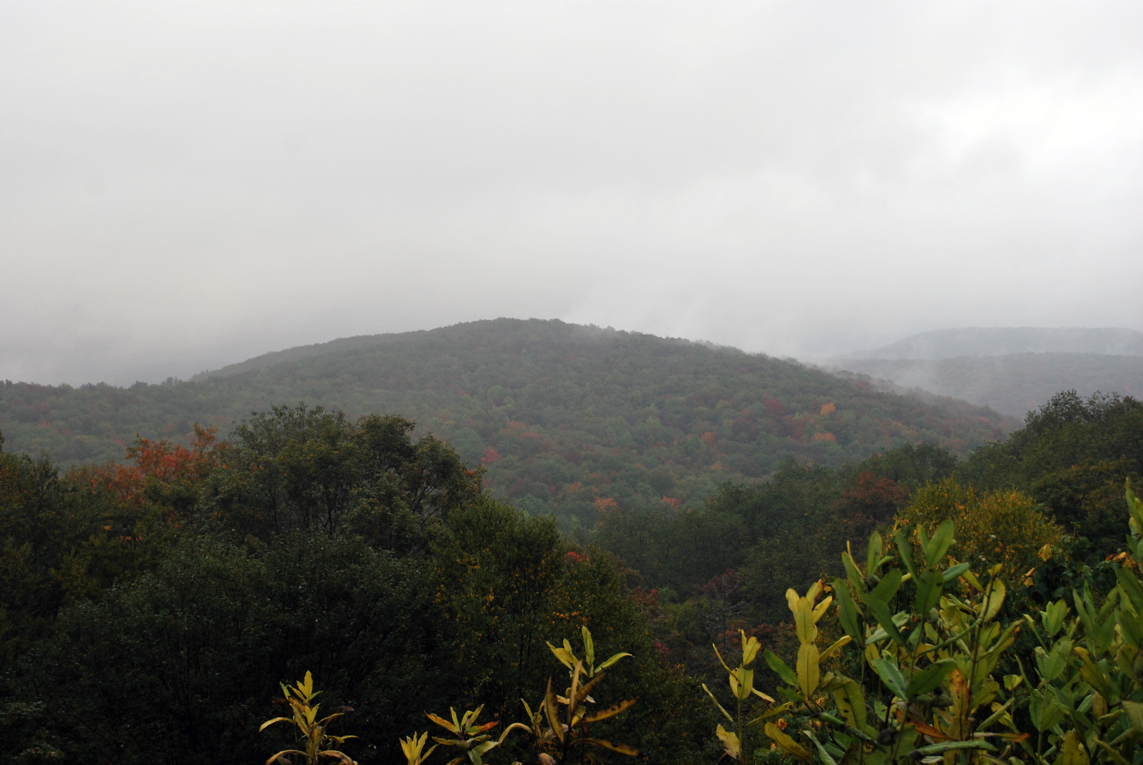
image_caption = Overlook of Laurel Fork valley along Middle Mountain Road on a foggy fall day.
etymology_type =
etymology =
country = United States
country_
state = West Virginia
state_
state1 =
region_type = Counties
region = Pocahontas
region1 = Randolph
district_type =
district =
district1 =
district2 =
city =
city1 =
location =
lat_d = 38
lat_m = 42
lat_s = 43
lat_NS = N
long_d = 79
long_m = 43
long_s = 07
long_EW = W
elevation_imperial =
elevation_round = 1
area_unit = acre
area_imperial = 5997
area_note = cite web |url=http://www.fs.fed.us/r9/mnf/rec/wilderness_areas/Laurel_Fork_Wilderness_brochure.pdf |title=Laurel Fork Wilderness brochure |accessdate=2008-04-19 |publisher=Monongahela National Forest ]
area_round = 1
area1_type =
area1_imperial =
area2_type =
area2_imperial =
length_imperial =
length_orientation =
width_imperial =
width_orientation =
highest = Middle Mountain
highest_note =
highest_location = south of Glady
highest_lat_d = 38
highest_lat_m = 42
highest_lat_s = 03
highest_lat_NS = N
highest_long_d = 79
highest_long_m = 44
highest_long_s = 14
highest_long_EW = W
highest_elevation_imperial = 3983
highest_elevation_note =
lowest =Laurel Fork (Cheat River)
lowest_location = southeast of Glady
lowest_lat_d = 38
lowest_lat_m = 44
lowest_lat_s = 25
lowest_lat_NS = N
lowest_long_d = 79
lowest_long_m = 41
lowest_long_s = 31
lowest_long_EW = W
lowest_elevation_imperial = 3127
biome =
biome_share =
biome1 =
biome1_share =
geology =
geology1 =
plant =
plant1 =
animal =
animal1 =
established_type = Established
established = 1983
established_note =
established1_type =
established1 =
owner =USDA Forest Service
management =Monongahela National Forest
management_location =
management_lat_d =
management_lat_m =
management_lat_s =
management_lat_NS =
management_long_d =
management_long_m =
management_long_s =
management_long_EW =
management_elevation =
visitation =
visitation_year =
free_type = Nearest city
free_label = Nearest city
free = Durbin,West Virginia
free1_type =
free1 =

map_caption = Location of Laurel Fork South Wilderness in West Virginia
map_locator = West Virginia
map_first =
website = [http://www.fs.fed.us/r9/mnf/sp/laurel_forks_wildernesses.htm Laurel Fork Wildernesses]Laurel Fork South Wilderness is a U.S.
Wilderness Area located in the Greenbrier Ranger District ofMonongahela National Forest inWest Virginia . The Wilderness protects high-elevation lands alongLaurel Fork (Cheat River) and is bordered by Middle Mountain to the west. It is a companion toLaurel Fork North Wilderness , the two being split by Randolph County Route 40. Laurel Fork South contains convert|9|mi of hiking trails.History
The land that now comprises Laurel Fork South Wilderness was once private forestland owned by the Laurel River Lumber Company. The area was first logged by floating the logs down the Laurel Fork, and later by railroad. By 1921, the virgin forestland was fully logged. The
U.S. Forest Service acquired the area soon thereafter, adding it toMonongahela National Forest .Laurel Fork South and Laurel Fork North Wildernesses were designated in 1983 by the Monongahela National Forest, West Virginia, Land Designations law.
Reference

Wikimedia Foundation. 2010.