- Amherst-Plymouth Wildlife Management Area
Geobox|Protected Area
name = Amherst-Plymouth WMA
native_name =
other_name =
category = Wildlife Management Area
category_iucn = iv
etymology =
official_name =
motto =
nickname =
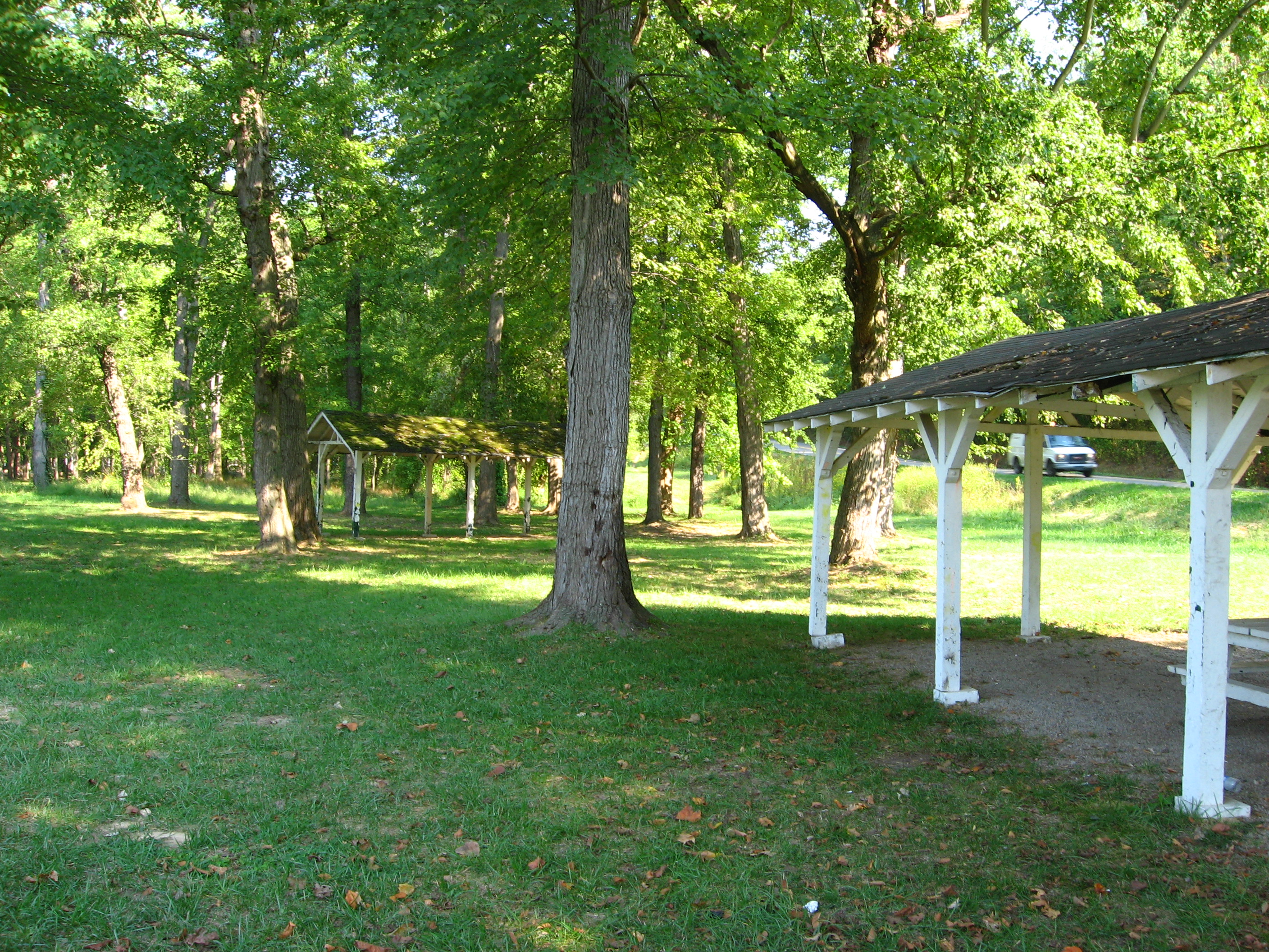
image_caption = The semi-abandoned community park in Hometown is now part of the Amherst-Plymouth WMA
symbol =
country = United States
country_
state = West Virginia
state_
region_type = County
region = Putnam County, West Virginia
district =
municipality =
city =
landmark =
river =
location =
elevation_imperial =
prominence_imperial =
lat_d = 38
lat_m = 31
lat_s = 16
lat_NS = N
long_d = 81
long_m = 51
long_s = 4
long_EW = W
highest =
highest_location = | highest_region = | highest_country =
highest_elevation_imperial =
highest_lat_d = | highest_lat_m = | highest_lat_s = | highest_lat_NS =
highest_long_d = | highest_long_m = | highest_long_s = | highest_long_EW =
lowest =
lowest_location = | lowest_region = | lowest_country =
lowest_elevation_imperial =
lowest_lat_d = | lowest_lat_m = | lowest_lat_s = | lowest_lat_NS =
lowest_long_d = | lowest_long_m = | lowest_long_s = | lowest_long_EW =
length_imperial = | length_orientation =
width_imperial = | width_orientation =
area_unit = acre
area_imperial = 7061
area_note =
geology =
biome =
plant =
animal =
style =
established =
date =
management = Wildlife Resources Section, WVDNR
management_location = | management_region = | management_country =
management_elevation_imperial =
management_lat_d = | management_lat_m = | management_lat_s = | management_lat_NS =
management_long_d = | management_long_m = | management_long_s = | management_long_EW =
owner = Amherst Industries, Inc.
leader =
public = Hunting, fishing
Day use only, no camping
visitation = | visitation_date =
access =
whs_name =
whs_year =
whs_number =
whs_region =
whs_criteria =
iucn_category =
free_type = Nearest town
free_label = Nearest town
free = Hometown,West Virginia

map_caption = Location of Otter Creek Wilderness in West Virginia
map_locator = West Virginia
website =
footnotes =Amherst-Plymouth Wildlife Management Area [http://www.wvdnr.gov/Hunting/D5WMAareas.shtm#55d5 Amherst-Plymouth WMA page, WV Division of Natural Resources web site, retrieved April 21, 2008] ] is a convert|7061|acre|adj=on
protected area located inPutnam County, West Virginia . The site is along the banks of theKanawha River and is popular for huntingCanadian geese in the fall. [ [http://www.wvgameandfish.com/hunting/WV_0805_02/ West Virginia 2005 Hunting Calendar] ] Access is from WV State Route 62 between Bancroft and Hometown and from Manilla Creek Road and Heizer Creek Road off State Route 62 north ofPoca, West Virginia . Manilla Creek Road cuts across the north side of the Amherst-Plymouth WMA, and State Route 52 follows the southern edge of the area alongside the Kanawha River.Hunting and Fishing
Hunting opportunities include deer,grouse ,rabbit ,raccoon ,squirrel , and turkey.Fishing opportunities from the banks of the Guano Creekbackwater and theKanawha River include hybrid-striped bass,white bass ,carp , channel andflathead catfish , freshwater drum,sauger .Gallery
ee also
*
Animal conservation
*List of West Virginia wildlife management areas
* [http://www.wvdnr.gov/hunting/WMA/Amherst%20Plymouth.gifMap of Amherst-Plymouth Wildlife Management Area]
*Recreational fishing References
External links
* [http://www.wvdnr.gov West Virginia Division of Natural Resources web site]
* [http://www.wvdnr.gov/hunting/hunting_regs.shtm West Virginia Hunting Regulations]
* [http://www.wvdnr.gov/fishing/fishing.shtm West Virginia Fishing Regulations]

Wikimedia Foundation. 2010.