- Cross Creek Wildlife Management Area
-
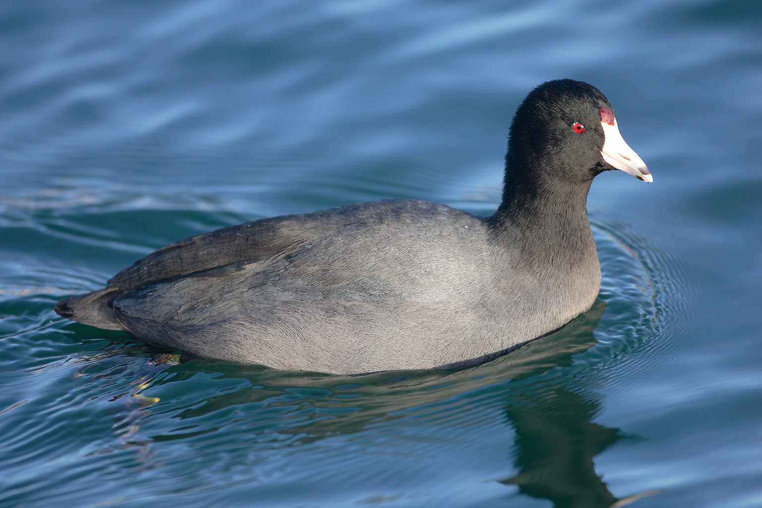
Cross Creek Wildlife Management Area West Virginia Wildlife Management Area 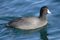 American Coot (Fulica americana) may be found in the Cross Creek WMA
Country United States State West Virginia County Brooke Elevation 805 ft (245.4 m) [1] Coordinates 40°17′34″N 80°31′26″W / 40.29278°N 80.52389°W Area 2,078 acres (840.9 ha) [2] Management Wildlife Resources Section, WVDNR Owner Starvaggi Industries and WVDNR Nearest town Wellsburg, West Virginia 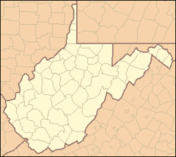
 Location of Cross Creek Wildlife Management Area in West Virginia
Cross Creek Wildlife Management Area is located on 630 acres (250 ha) in Brooke County near Wellsburg, West Virginia.[2] Mixed hardwoods cover most of the former strip mine site.[2] The rolling terrain is punctuated with a few highwalls and ponds. Cross Creek WMA can be reached by State Route 7 about 6 miles (9.7 km) northeast of Wellsburg.
Contents
Hunting and Fishing
Hunting opportunities include deer, grouse, turkey and waterfowl. Cross Creek provides fishing opportunities for smallmouth bass, largemouth bass, bluegill and channel catfish, as well as stocked trout.
Camping is prohibited on the Cross Creek WMA land.
See also
- Animal conservation
- Fishing
- Hunting
- List of West Virginia wildlife management areas
References
- ^ Acme Mapper 2.0, Cross Creek Road in Cross Creek WMA, retrieved August 26, 2008
- ^ a b c "Cross Creek WMA page". WV Division of Natural Resources. http://www.wvdnr.gov/Hunting/D1WMAareas.shtm#7d1. Retrieved 2008-08-26.
External links
- West Virginia DNR District 1 Wildlife Management Areas
- West Virginia Hunting Regulations
- West Virginia Fishing Regulations
Categories:- Wildlife Management Areas of West Virginia
- Protected areas of Brooke County, West Virginia

Wikimedia Foundation. 2010.