- Pipestem Resort State Park
Geobox|Protected Area
name = Pipestem Resort State Park
native_name =
other_name =
other_name1 =
category = West Virginia State Park
iucn_category =
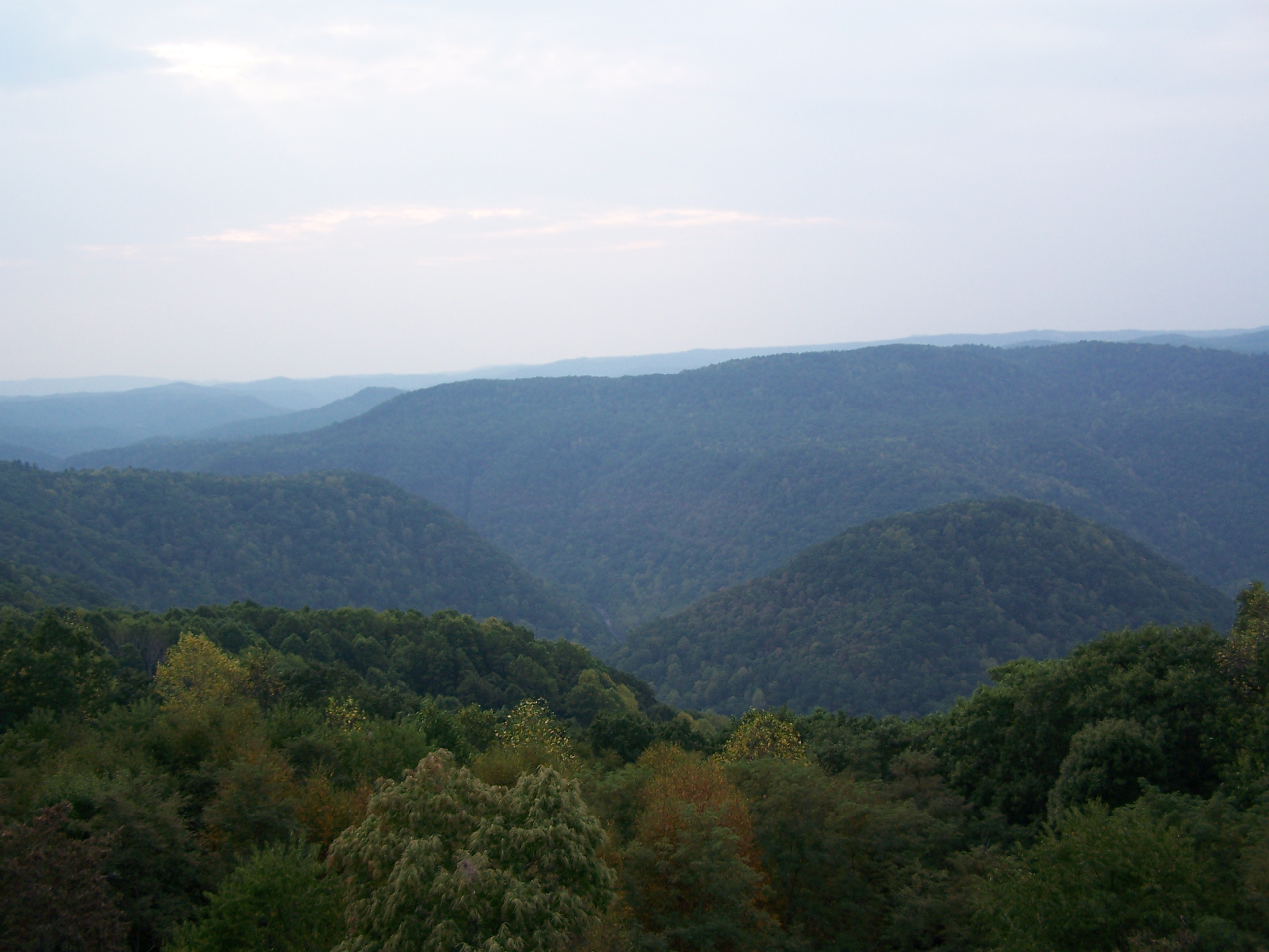
image_caption =Bluestone Gorge
etymology_type =
etymology =
country = United States
country_
state = West Virginia
state_
region_type = County
region = Mercer
region1 = Summers
district_type =
district =
district1 =
district2 =
city =
city1 =
location =
lat_d = 37
lat_m = 32
lat_s = 03
lat_NS = N
long_d = 80
long_m = 59
long_s = 54
long_EW = W
elevation_imperial = 2690
elevation_round = 1
area_unit = acre
area_imperial = 4050
area_round = 1
area_note = [http://www.wvstateparks.com/recreation/WVSP_facilities_grid.PDF West Virginia State Parks Facilities Grid, accessed March 29, 2008] ]
area1_imperial =
area1_type =
length_imperial =
length_orientation =
width_imperial =
width_orientation =
highest =
highest location =
highest_lat_d =
highest_lat_m =
highest_lat_s =
highest_lat_NS =
highest_long_d =
highest_long_m =
highest_long_s =
highest_long_EW =
highest_elevation_imperial =
lowest =
lowest_location =
lowest_lat_d =
lowest_lat_m =
lowest_lat_s =
lowest_lat_NS =
lowest_long_d =
lowest_long_m =
lowest_long_s =
lowest_long_EW =
lowest_elevation_imperial =
biome =
biome_share =
biome1 =
biome1_share =
geology =
geology1 =
plant =
plant1 =
animal =
animal1 =
established_type = Established
established = 1963
established_note = cite book|title=Where People and Nature Meet: A History of the West Virginia State Parks|publisher=Pictorial Histories Publishing Company|location=Charleston,West Virginia |date=April 1988|isbn=0-933126-91-3]
established1_type = Opened
established1 = 1967
established1_note =
owner =West Virginia Division of Natural Resources
management_location =
management_lat_d =
management_lat_m =
management_lat_s =
management_lat_NS =
management_long_d =
management_long_m =
management_long_s =
management_long_EW =
management_elevation =
visitation =
visitation_year =
free_type = Nearest city
free_label = Nearest city
free = Athens,West Virginia
free1_type =
free1 =

map_caption = Location of Pipestem Resort State Park in West Virginia
map_locator = West Virginia
map_first =
website = [http://www.pipestemresort.com Pipestem Resort State Park]Pipestem Resort State Park is a convert|4050|acre|adj=on
state park located in southernWest Virginia on the border between Mercer and Summers counties. The park was built with grants provided by the Area Redevelopment Administration of the U.S. Department of Commerce under the administration of PresidentJohn F. Kennedy . [ [http://www.rpts.tamu.edu/pugsley/McKeever.htm Kermit McKeever award web page, accessed September 30, 2006] ] It is located in the gorge of theBluestone River .The park features two
hotel s, one of which may be reached only by an aerialtramway to the bottom of the gorge, over a dozen wood cabins, a regular and a par-3golf course , several restaurants, and other recreational activities, including its own stable of horses.Nearby cities and attractions
*
Athens, West Virginia
*Concord University
*Princeton, West Virginia
*Hinton, West Virginia
*Bluestone State Park
*Bluestone Lake
* New River
*Sandstone Falls See also
List of West Virginia state parks References
External links
* [http://www.pipestemresort.com// Official site]

Wikimedia Foundation. 2010.