- Droop Mountain Battlefield State Park
-
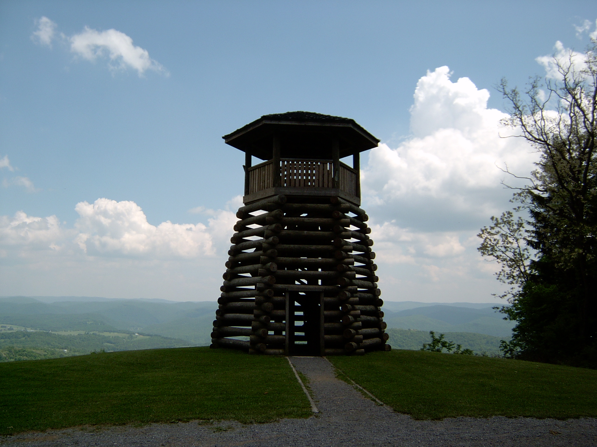
Droop Mountain Battlefield State Park West Virginia State Park  Observation tower overlooking the Greenbrier River valley.
Country United States State West Virginia County Pocahontas Elevation 3,104 ft (946.1 m) Coordinates 38°06′45″N 80°16′19″W / 38.1125°N 80.27194°W Area 287 acres (116.1 ha) Dedicated July 4, 1928 [1] - Acquired April 14, 1928 [2] Owner West Virginia Division of Natural Resources Nearest city Marlinton, West Virginia 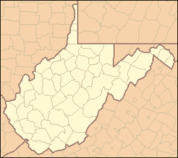
 Location of Droop Mountain Battlefield State Park in West Virginia
Website: Droop Mountain Battlefield State Park Droop Mountain Battlefield State Park is a state park located on Droop Mountain in Pocahontas County, West Virginia. Droop Mountain was the site of the last major conflict of the American Civil War in West Virginia. A private in the U.S. Army at the Battle of Droop Mountain, John D. Sutton, became the leader in the movement to create the park when he served in the West Virginia House of Delegates. Dedicated on July 4, 1928, Droop Mountain Battlefield became the first state park in West Virginia.[2]
The battlefield was transformed into a historical, outdoor recreation area by the Civilian Conservation Corps during the Great Depression. Public reenactments of the battle are conducted in October of even-numbered years by the West Virginia Reenactors Association. The next reenactment is scheduled for October, 2010.
The park was placed on the National Register of Historic Places in 1970.[3]
Droop Mountain Battlefield State Park is located about 25 miles (40 km) north of the Lewisburg exit of I-64 on U.S. Highway 219 and about 15 miles (24 km) south of Marlinton on US 219. The park is also near Beartown State Park and Watoga State Park.
Contents
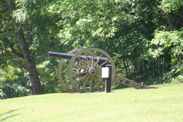
Gallery
-

Cannon
-

Confederate Graves
-

Log Cabin
Features
- Droop Mountain Museum with battle artifacts
- Lookout Tower
- hiking
- Picnic areas with shelters
- Tots playgrounds
See also
- American Civil War
- Battle of Droop Mountain
- List of West Virginia state parks
- State park
- West Virginia in the American Civil War
Droop Mountain BattlefieldNearest city: Marlinton, West Virginia Coordinates: 38°6′36″N 80°16′20″W / 38.11°N 80.27222°W Governing body: State NRHP Reference#: 70000664 Added to NRHP: January 26, 1970[3] References
- ^ "Dedication of Droop Mountain Battlefield State Park". West Virginia Division of Culture and History. Archived from the original on 2008-06-24. http://www.webcitation.org/5YpMec0AH. Retrieved 2008-07-04.
- ^ a b Debra Patterson, ed (April 1988). Where People and Nature Meet: A History of the West Virginia State Parks. Charleston, West Virginia: Pictorial Histories Publishing Company. p. 89. ISBN 0-933126-91-3.
- ^ a b "National Register Information System". National Register of Historic Places. National Park Service. 2008-04-15. http://nrhp.focus.nps.gov/natreg/docs/All_Data.html.
External links
U.S. National Register of Historic Places in West Virginia Lists by county Barbour • Berkeley • Boone • Braxton • Brooke • Cabell • Calhoun • Clay • Doddridge • Fayette • Gilmer • Grant • Greenbrier • Hampshire • Hancock • Hardy • Harrison • Jackson • Jefferson • Kanawha • Lewis • Lincoln • Logan • Marion • Marshall • Mason • McDowell • Mercer • Mineral • Mingo • Monongalia • Monroe • Morgan • Nicholas • Ohio • Pendleton • Pleasants • Pocahontas • Preston • Putnam • Raleigh • Randolph • Ritchie • Roane • Summers • Taylor • Tucker • Tyler • Upshur • Wayne • Webster • Wetzel • Wirt • Wood • Wyoming

Other lists Categories:- Protected areas of Pocahontas County, West Virginia
- West Virginia state parks
- West Virginia in the American Civil War
- Battlefields of the Main Eastern Theater of the American Civil War
- Parks on the National Register of Historic Places in West Virginia
- Protected areas established in 1928
- American Civil War museums in West Virginia
- Museums in Pocahontas County, West Virginia
- Civilian Conservation Corps in West Virginia
-


Wikimedia Foundation. 2010.