- National Register of Historic Places listings in Monongalia County, West Virginia
-
 Location of Monongalia County in West Virginia
This is a list of the National Register of Historic Places listings in Monongalia County, West Virginia.
This is intended to be a complete list of the properties and districts on the National Register of Historic Places in Monongalia County, West Virginia, United States. The locations of National Register properties and districts for which the latitude and longitude coordinates are included below, may be seen in a Google map.[1]
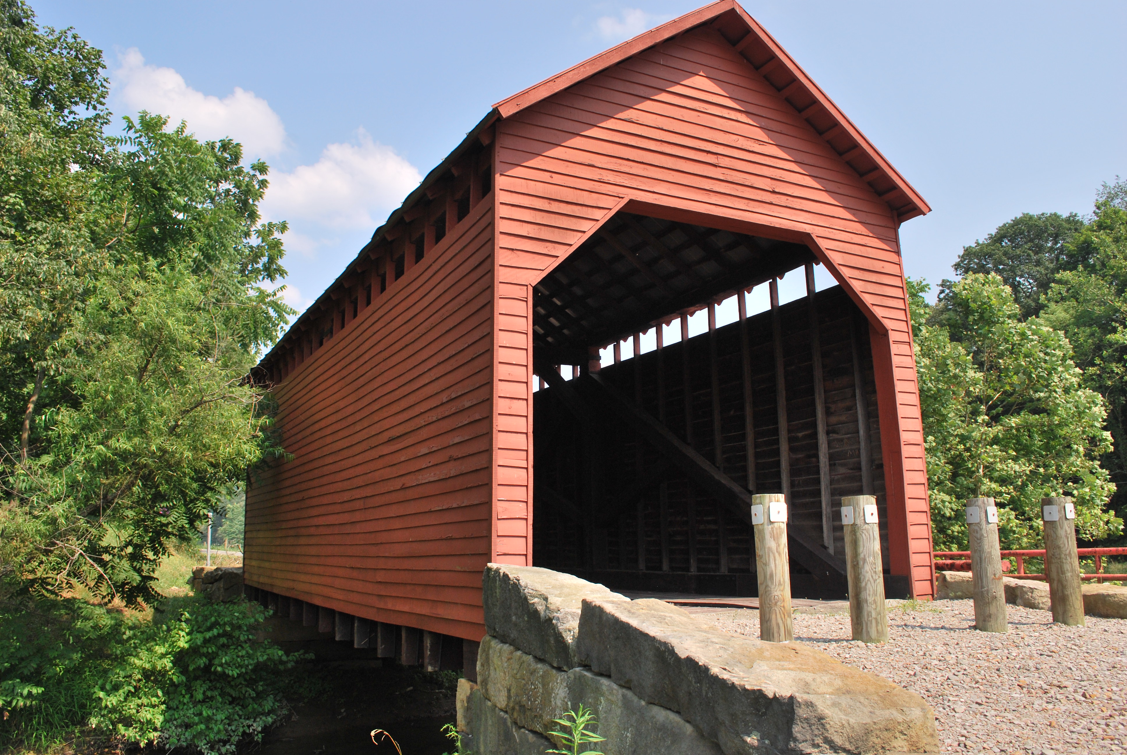
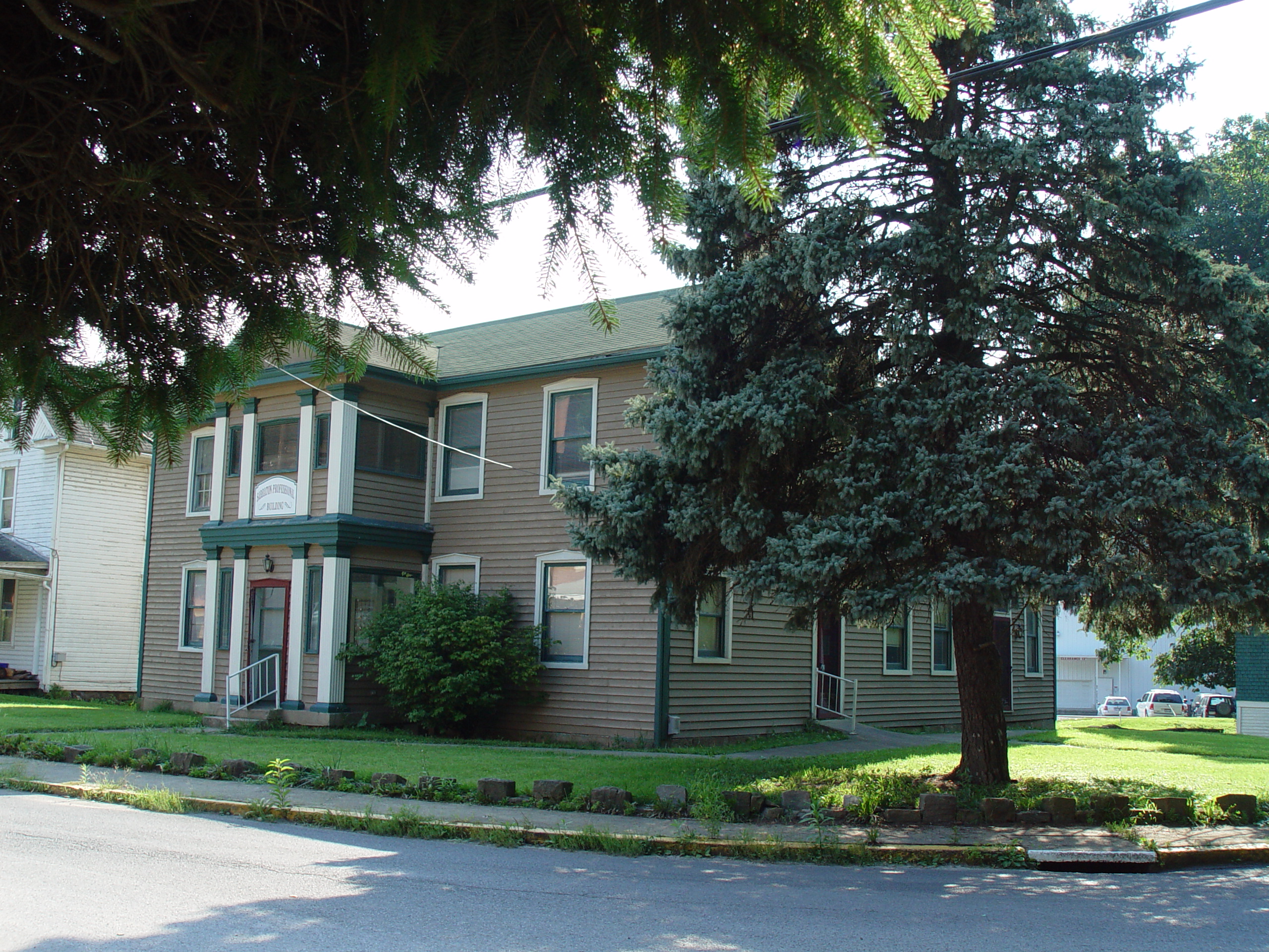
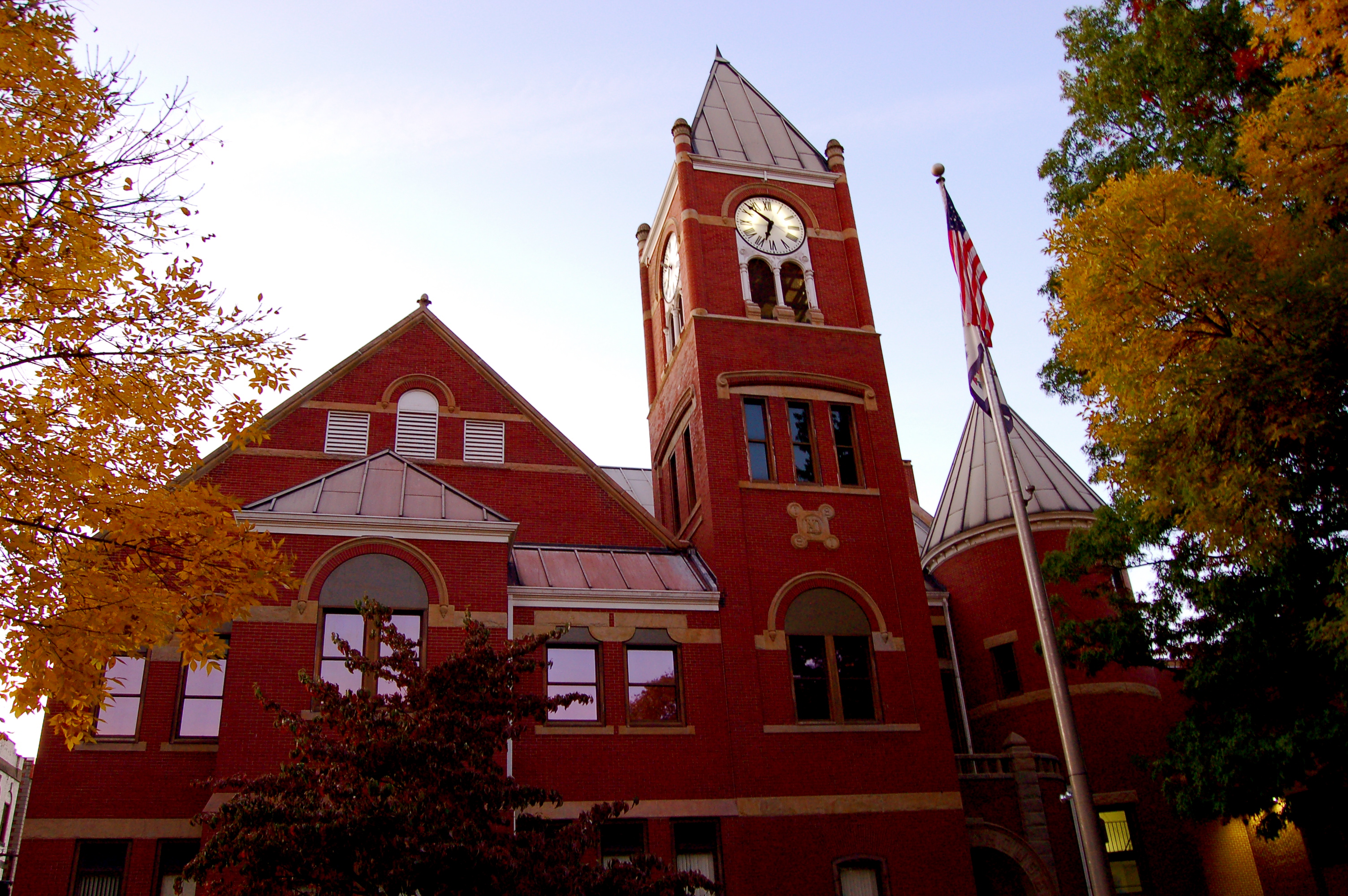
There are 45 properties and districts listed on the National Register in the county, one of which is a National Historic Landmark.
-
- This National Park Service list is complete through NPS recent listings posted November 10, 2011.[2]
Contents: Counties in West Virginia Barbour - Berkeley - Boone - Braxton - Brooke - Cabell - Calhoun - Clay - Doddridge - Fayette - Gilmer - Grant - Greenbrier - Hampshire - Hancock - Hardy - Harrison - Jackson - Jefferson - Kanawha - Lewis - Lincoln - Logan - Marion - Marshall - Mason - McDowell - Mercer - Mineral - Mingo - Monongalia - Monroe - Morgan - Nicholas - Ohio - Pendleton - Pleasants - Pocahontas - Preston - Putnam - Raleigh - Randolph - Ritchie - Roane - Summers - Taylor - Tucker - Tyler - Upshur - Wayne - Webster - Wetzel - Wirt - Wood - Wyoming
Current listings
See also
- List of National Historic Landmarks in West Virginia
- National Register of Historic Places listings in West Virginia
References
- ^ The latitude and longitude information provided in this table was derived originally from the National Register Information System, which has been found to be fairly accurate for about 99% of listings. For about 1% of NRIS original coordinates, experience has shown that one or both coordinates are typos or otherwise extremely far off; some corrections may have been made. A more subtle problem causes many locations to be off by up to 150 yards, depending on location in the country: most NRIS coordinates were derived from tracing out latitude and longitudes off of USGS topographical quadrant maps created under North American Datum of 1927, which differs from the current, highly accurate GPS system used by Google maps. Chicago is about right, but NRIS longitudes in Washington are higher by about 4.5 seconds, and are lower by about 2.0 seconds in Maine. Latitudes differ by about 1.0 second in Florida. Some locations in this table may have been corrected to current GPS standards.
- ^ "National Register of Historic Places: Weekly List Actions". National Park Service, United States Department of the Interior. Retrieved on November 10, 2011.
- ^ Numbers represent an ordering by significant words. Various colorings, defined here, differentiate National Historic Landmark sites and National Register of Historic Places Districts from other NRHP buildings, structures, sites or objects.
- ^ "National Register Information System". National Register of Historic Places. National Park Service. . http://nrhp.focus.nps.gov/natreg/docs/All_Data.html.
- ^ Coordinates derived from Swauger, James L. Rock Art of the Upper Ohio Valley. Graz: Akademische Druck und Verlagsanstalt, 1974, 115. The NRIS provides inaccurate coordinates.
U.S. National Register of Historic Places in West Virginia Lists by county Barbour • Berkeley • Boone • Braxton • Brooke • Cabell • Calhoun • Clay • Doddridge • Fayette • Gilmer • Grant • Greenbrier • Hampshire • Hancock • Hardy • Harrison • Jackson • Jefferson • Kanawha • Lewis • Lincoln • Logan • Marion • Marshall • Mason • McDowell • Mercer • Mineral • Mingo • Monongalia • Monroe • Morgan • Nicholas • Ohio • Pendleton • Pleasants • Pocahontas • Preston • Putnam • Raleigh • Randolph • Ritchie • Roane • Summers • Taylor • Tucker • Tyler • Upshur • Wayne • Webster • Wetzel • Wirt • Wood • Wyoming

Other lists Keeper of the Register • History of the National Register of Historic Places • Property types • Historic district • Contributing property Municipalities and communities of Monongalia County, West Virginia County seat: Morgantown Cities 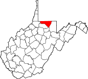
Towns CDPs Other
localitiesArnettsville | Baker Ridge | Behler | Bertha Hill | Booth | Bowlby | Browns Chapel | Bula | Canyon | Cheat Neck | Chestnut Ridge | Clinton Furnace | Core | Crossroads | Crown | Daybrook | Dellslow | Delmar | Easton | Edna | Everettsville | Fieldcrest | Flaggy Meadow | Fort Grand | Fort Martin | Georgetown | Greer | Greystone | Gum Spring | Hagans | Halleck | Harmony Grove | Hilderbrand | Hoard | Hog Eye | Holman | Hunting Hills | Jaco | Jakes Run | Jere | Kimberly | Klondike | Laurel Point | Little Falls | Lowsville | Macdale | Maidsville | Maple | McCurdyville | McMellin | Miracle Run | Mooresville | Morgan Heights | National | New Hill | Opekiska | Osage | Osgood | Pedlar | Pierpont | Pioneer Rocks | Price | Price Hill | Pursglove | Ragtown | Randall | Richard | Ridgedale | Ringgold | Rock Forge | Rosedale | Sabraton | Saint Cloud | Saint Leo | Sandy | Smithtown | Stewartstown | Suncrest Lake | Sunset Beach | Sturgisson | The Mileground | Triune | Tyrone | Uffington | Van Voorhis | Wadestown | Wana | West Sabraton | West Van Voorhis | Worley
Categories:- National Register of Historic Places in West Virginia by county
- Monongalia County, West Virginia
-


Wikimedia Foundation. 2010.