- Interstate 79
Infobox road
route=79
type=I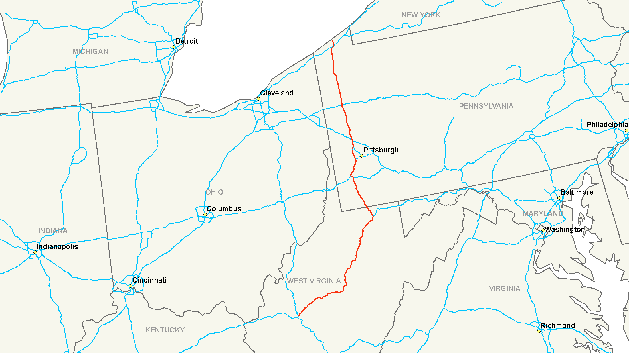
length_mi=343.24
length_round=2
length_ref=cite web|url=http://www.fhwa.dot.gov/reports/routefinder/table1.cfm|title=Route Log and Finder List - Interstate System - table 1|publisher=Federal Highway Administration |date= 2002-10-31|accessdate=2007-07-09]
direction_a=South
direction_b=North
year_established=
terminus_a=
terminus_b=
junction=jct|state=WV|US|19 near Sutton, WV
jct|state=WV|I|68 near Morgantown, WV
commons=categoryInterstate 79 (abbreviated I-79) is an
interstate highway in the easternUnited States , designated fromInterstate 77 inCharleston, West Virginia toPennsylvania Route 5 andPennsylvania Route 290 inErie, Pennsylvania . It is a primary thoroughfare through westernPennsylvania andWest Virginia , as well as an important corridor toBuffalo, New York , and the Canadian border.In West Virginia, Interstate 79 is known as the
Jennings Randolph Expressway. In the three most northern counties it is signed as part of the "High Tech Corridor". Through most of Pennsylvania, it is known as theRaymond P. Shafer Highway.Route description
-
WV
160.52
258.49
-
PA
182.72
294.24
-
Total
343.24
552.39Auxiliary routes
*
Interstate 279 runs east (but signed as a north-south highway) intoPittsburgh, Pennsylvania , then northwest out of the city back to Interstate 79
*Interstate 579 runs north through downtown Pittsburgh fromInterstate 376 to Interstate 279References
###@@@KEYEND@@@###
Wikimedia Foundation. 2010.