- National Register of Historic Places listings in Marion County, West Virginia
-
 Location of Marion County in West Virginia
This is a list of the National Register of Historic Places listings in Marion County, West Virginia.
This is intended to be a complete list of the properties and districts on the National Register of Historic Places in Marion County, West Virginia, United States. The locations of National Register properties and districts for which the latitude and longitude coordinates are included below, may be seen in a Google map.[1]
There are 20 properties and districts listed on the National Register in the county.
-
- This National Park Service list is complete through NPS recent listings posted November 10, 2011.[2]
Contents: Counties in West Virginia Barbour - Berkeley - Boone - Braxton - Brooke - Cabell - Calhoun - Clay - Doddridge - Fayette - Gilmer - Grant - Greenbrier - Hampshire - Hancock - Hardy - Harrison - Jackson - Jefferson - Kanawha - Lewis - Lincoln - Logan - Marion - Marshall - Mason - McDowell - Mercer - Mineral - Mingo - Monongalia - Monroe - Morgan - Nicholas - Ohio - Pendleton - Pleasants - Pocahontas - Preston - Putnam - Raleigh - Randolph - Ritchie - Roane - Summers - Taylor - Tucker - Tyler - Upshur - Wayne - Webster - Wetzel - Wirt - Wood - Wyoming
Current listings
[3] Landmark name Image Date listed Location City or town Summary 1 Barrackville Covered Bridge 
March 30, 1973 County Route 21 over Buffalo Creek
39°30′21″N 80°10′05″W / 39.505833°N 80.168056°WBarrackville 2 Colonial Apartments July 26, 2006 2 E. Garden Ln.
39°29′00″N 80°09′54″W / 39.483333°N 80.165°WFairmont 3 Fairmont Downtown Historic District August 15, 1995 Along Jackson, Adams, Washington and Quincy Sts. and Cleveland and Fairmont Aves.
39°28′57″N 80°08′39″W / 39.4825°N 80.144167°WFairmont 4 Fairmont Normal School Administration Building 
March 28, 1994 Junction of Locust Ave. and Bryant St.
39°28′59″N 80°09′37″W / 39.483056°N 80.160278°WFairmont 5 Fairmont Senior High School 
March 22, 2002 1 Loop Park
39°28′43″N 80°09′26″W / 39.478611°N 80.157222°WFairmont 6 Thomas W. Fleming House August 29, 1979 300 1st St.
39°28′54″N 80°08′41″W / 39.481667°N 80.144722°WFairmont 7 Fleming-Watson Historic District November 29, 2001 Approximately bounded by Fairmont Ave., Second, Fay Sts., Apple Ct, Green, Emerson Sts., Coleman Ave., Seventh St., Outlook
39°29′N 80°09′W / 39.48°N 80.15°WFairmont 8 Hamilton Round Barn July 9, 1985 County Route 11
39°31′06″N 80°20′03″W / 39.518333°N 80.334167°WMannington 9 High Gate 
April 15, 1982 801 Fairmont Ave.
39°28′29″N 80°09′10″W / 39.474722°N 80.152778°WFairmont 10 High Level Bridge 
December 4, 1991 Jefferson St. across the Monongahela River
39°28′57″N 80°08′27″W / 39.4825°N 80.140833°WFairmont 11 Jacobs-Hutchinson Block July 21, 1995 201-209 Adams St.
39°29′05″N 80°08′39″W / 39.484722°N 80.144167°WFairmont 12 Mannington Historic District November 22, 1995 Roughly bounded by High, Clarksburg and Howard Sts. and Buffalo Creek
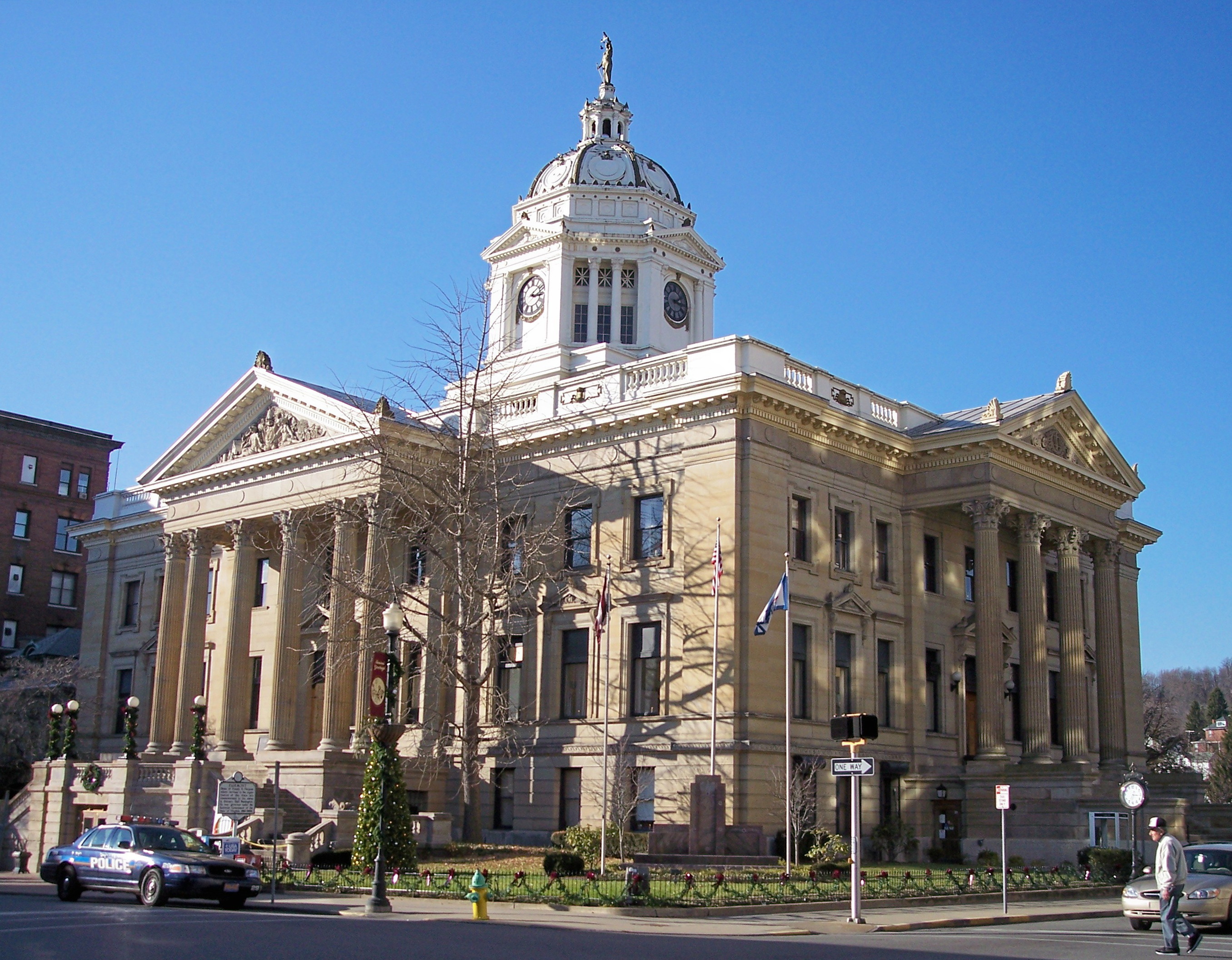
39°31′44″N 80°20′39″W / 39.528889°N 80.344167°WMannington 13 Marion County Courthouse and Sheriff's House 
May 29, 1979 Adams and Jefferson Sts.
39°29′06″N 80°08′37″W / 39.485°N 80.143611°WFairmont 14 Masonic Temple April 9, 1993 320 Jefferson St.
39°29′08″N 80°08′34″W / 39.485556°N 80.142778°WFairmont 15 George Pinkney Morgan House May 1, 2003 County Route 19/3
39°32′01″N 80°05′42″W / 39.533611°N 80.095°WRivesville 16 Prickett's Fort 
February 13, 1974 Address Restricted; located at Prickett's Fort State Park
39°30′55″N 80°05′53″W / 39.515278°N 80.098056°WFairmont 17 Jacob Prickett, Jr. Log House April 20, 1979 South of Montana off County Route 72
39°31′09″N 80°06′05″W / 39.519167°N 80.101389°WMontana 18 Shaw House September 14, 1988 425 Morgantown Ave.
39°28′51″N 80°07′59″W / 39.480833°N 80.133056°WFairmont 19 Wilson School November 29, 2001 917 E. Main St.
39°31′32″N 80°20′05″W / 39.525556°N 80.334722°WMannington 20 Woodlawn Cemetery April 14, 2004 335 Maple Ave.
39°29′37″N 80°08′14″W / 39.493611°N 80.137222°WFairmont See also
- List of National Historic Landmarks in West Virginia
- National Register of Historic Places listings in West Virginia
References
- ^ The latitude and longitude information provided in this table was derived originally from the National Register Information System, which has been found to be fairly accurate for about 99% of listings. For about 1% of NRIS original coordinates, experience has shown that one or both coordinates are typos or otherwise extremely far off; some corrections may have been made. A more subtle problem causes many locations to be off by up to 150 yards, depending on location in the country: most NRIS coordinates were derived from tracing out latitude and longitudes off of USGS topographical quadrant maps created under the North American Datum of 1927, which differs from the current, highly accurate WGS84 GPS system used by Google maps. Chicago is about right, but NRIS longitudes in Washington are higher by about 4.5 seconds, and are lower by about 2.0 seconds in Maine. Latitudes differ by about 1.0 second in Florida. Some locations in this table may have been corrected to current GPS standards.
- ^ "National Register of Historic Places: Weekly List Actions". National Park Service, United States Department of the Interior. Retrieved on November 10, 2011.
- ^ Numbers represent an ordering by significant words. Various colorings, defined here, differentiate National Historic Landmark sites and National Register of Historic Places Districts from other NRHP buildings, structures, sites or objects.
U.S. National Register of Historic Places in West Virginia Lists by county Barbour • Berkeley • Boone • Braxton • Brooke • Cabell • Calhoun • Clay • Doddridge • Fayette • Gilmer • Grant • Greenbrier • Hampshire • Hancock • Hardy • Harrison • Jackson • Jefferson • Kanawha • Lewis • Lincoln • Logan • Marion • Marshall • Mason • McDowell • Mercer • Mineral • Mingo • Monongalia • Monroe • Morgan • Nicholas • Ohio • Pendleton • Pleasants • Pocahontas • Preston • Putnam • Raleigh • Randolph • Ritchie • Roane • Summers • Taylor • Tucker • Tyler • Upshur • Wayne • Webster • Wetzel • Wirt • Wood • Wyoming

Other lists Municipalities and communities of Marion County, West Virginia Cities 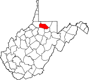
Towns Barrackville | Fairview | Farmington | Grant Town | Monongah | Rivesville | White Hall | Worthington
CDPs Carolina | Idamay | Rachel
Unincorporated
communitiesBaxter | Beverly Hills | Big Run | Brink‡ | Colfax | Four States | Grays Flat | Hebron | Hopewell | Kingmont | Logansport | Metz | Montana | Pine Grove | Stringtown
Footnotes ‡This populated place also has portions in an adjacent county or counties
Categories:- National Register of Historic Places in West Virginia by county
- Marion County, West Virginia
-


Wikimedia Foundation. 2010.