- National Register of Historic Places listings in Mariposa County, California
-
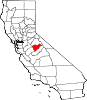
This list includes properties and districts listed on the National Register of Historic Places in Mariposa County, California. Click the "Map of all coordinates" link to the right to view a Google map of all properties and districts with latitude and longitude coordinates in the table below.[1]
-
- This National Park Service list is complete through NPS recent listings posted November 10, 2011.[2]
[3] Landmark name [4] Image Date listed Location City or town Summary 1 Acting Superintendent's Headquarters June 9, 1978 Yosemite National Park
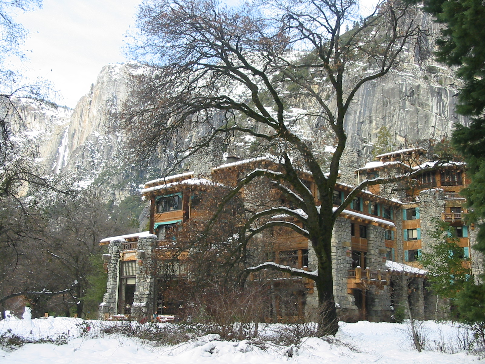
37°32′20″N 119°39′17″W / 37.538889°N 119.654722°WWawona 2 Ahwahnee Hotel 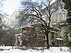
February 15, 1977 Yosemite Valley
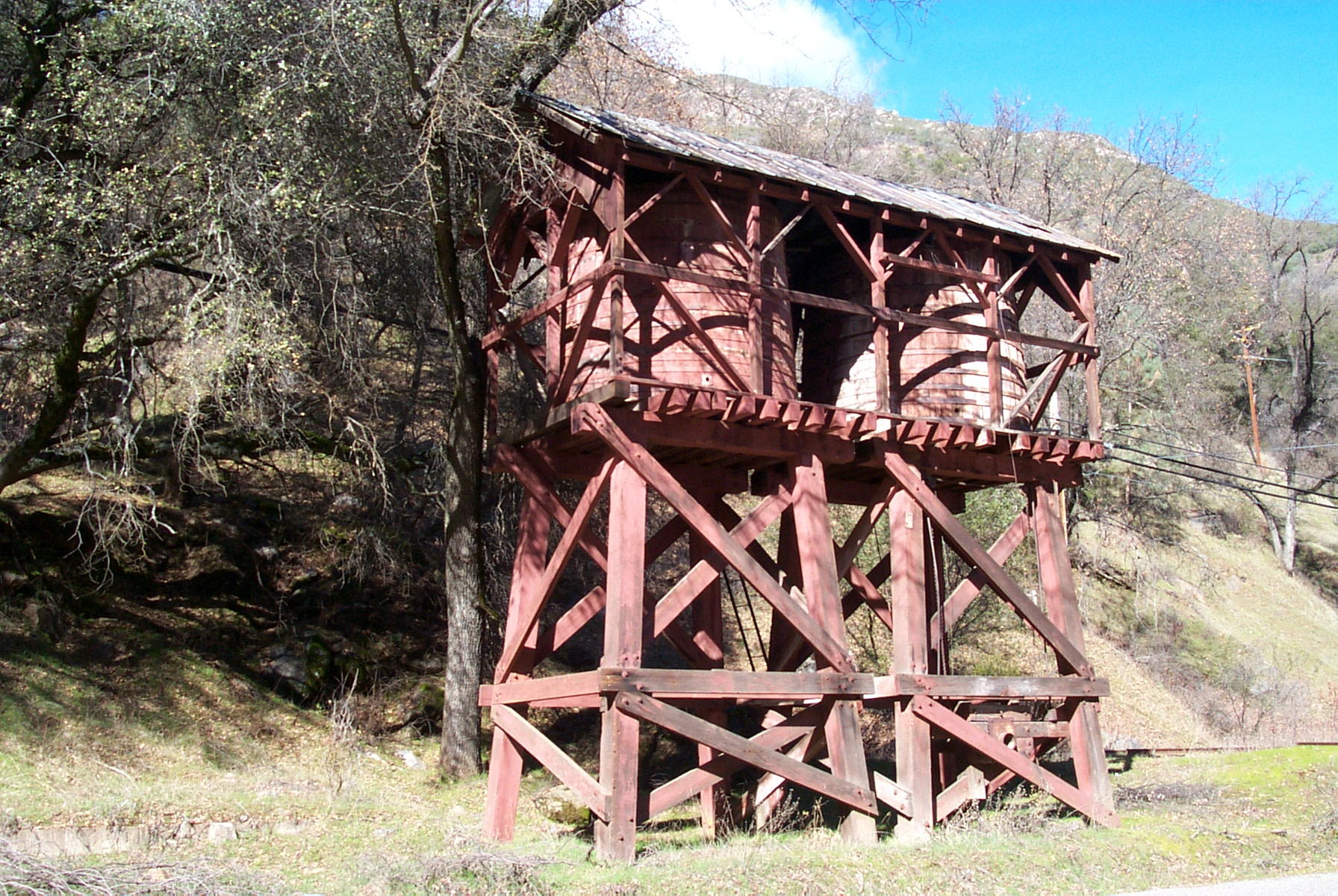
37°44′45″N 119°34′22″W / 37.745833°N 119.572778°WYosemite National Park 3 Bagby Stationhouse, Water Tanks and Turntable 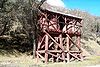
April 13, 1979 CA 140
37°40′27″N 119°46′47″W / 37.674167°N 119.779722°WEl Portal 4 Big Gap Flume May 12, 1975 E of Groveland off CA 120 in Stanislaus National Forest
37°49′19″N 120°03′34″W / 37.821944°N 120.059444°WGroveland 5 Bower Cave June 16, 2003 Address Restricted Greeley Hill 6 Camp 4 
February 21, 2003 Northside Dr., Yosemite National Park
37°44′30″N 119°36′09″W / 37.741667°N 119.6025°WYosemite 7 Camp Curry Historic District 
November 1, 1979 Yosemite Valley
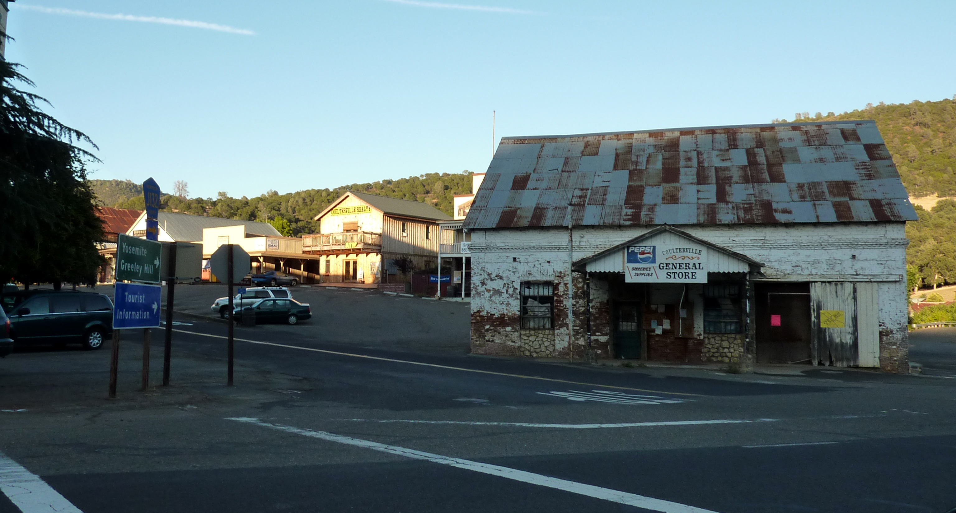
37°44′36″N 119°34′16″W / 37.743333°N 119.571111°WYosemite National Park 8 Coulterville Main Street Historic District 
March 12, 1982 Main St.
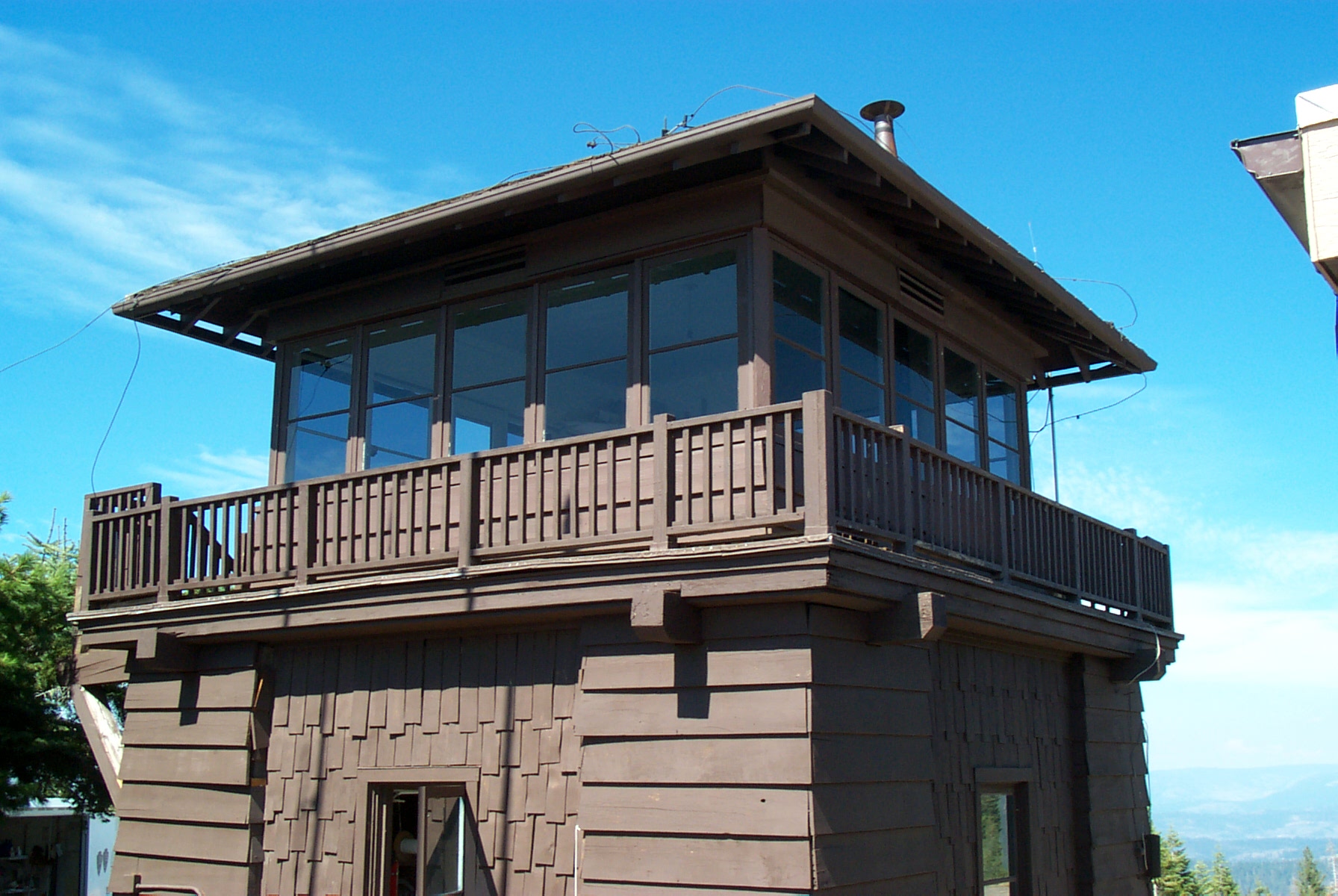
37°42′38″N 120°11′50″W / 37.710556°N 120.197222°WCoulterville 9 Crane Flat Fire Lookout 
April 4, 1996 N of Big Oak Flat Rd., near Crane Cr., Yosemite National Park
37°45′34″N 119°49′10″W / 37.759444°N 119.819444°WAspen Valley 10 El Portal Archeological District August 18, 1978 Address Restricted Mariposa 10 El Portal Old Schoolhouse February 1, 2011 Chapel Lane, Yosemite National Park
37°40′29″N 119°47′11″W / 37.674722°N 119.786389°WEl Portal 12 Glacier Point Trailside Museum April 4, 1978 E of El Portal in Yosemite National Park
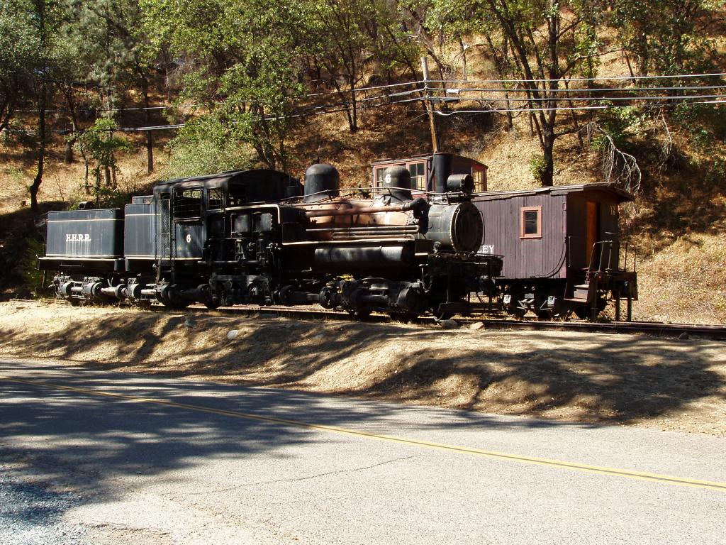
37°43′50″N 119°34′23″W / 37.730556°N 119.573056°WEl Portal 13 Hetch Hetchy Railroad Engine No.6 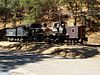
January 30, 1978 CA 140
37°40′30″N 119°46′46″W / 37.675°N 119.779444°WEl Portal 14 Hodgdon Homestead Cabin 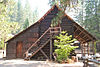
June 9, 1978 Yosemite National Park
37°32′20″N 119°39′19″W / 37.538889°N 119.655278°WWawona 15 Hornitos Masonic Hall No. 98 
August 3, 2005 2877 Bear Valley Rd.
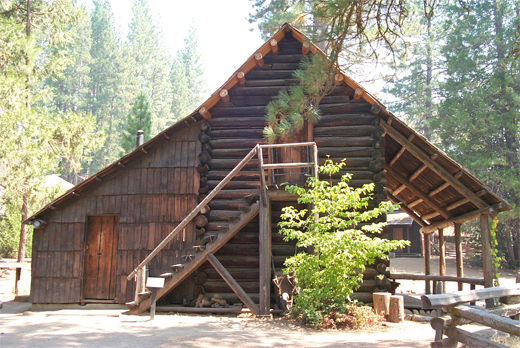
37°30′05″N 120°14′14″W / 37.501389°N 120.237222°WHornitos 16 Chris Jorgenson Studio April 13, 1979 Pioneer Yosemite Historic Center
37°32′20″N 119°39′19″W / 37.538889°N 119.655278°WYosemite National Park 17 LeConte Memorial Lodge 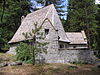
March 8, 1977 Yosemite Valley, Yosemite National Park
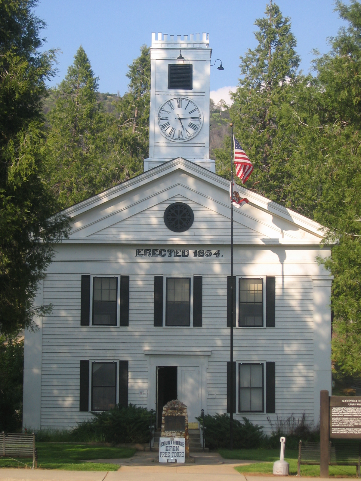
37°44′24″N 119°34′42″W / 37.74°N 119.578333°WCurry Village 18 Mariposa County Courthouse 
December 7, 1977 5088 Bullion St.
37°29′20″N 119°57′59″W / 37.488889°N 119.966389°WMariposa 19 Mariposa County High School Auditorium 
May 2, 1991 5074 Old Highway N.
37°29′21″N 119°57′47″W / 37.489167°N 119.963056°WMariposa 20 Mariposa Grove Museum 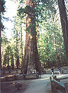
December 1, 1978 SE of Wawona in Yosemite National Park
37°30′50″N 119°35′54″W / 37.513889°N 119.598333°WWawona 21 Mariposa Town Historic District 
May 15, 1991 Roughly bounded by Charles, 11th, Jones and 4th Sts.
37°29′14″N 119°57′54″W / 37.487222°N 119.965°WMariposa 22 McCauley and Meyer Barns June 15, 1978 North of El Portal in Yosemite National Park
37°42′00″N 119°45′18″W / 37.7°N 119.755°WEl Portal 23 McGurk Cabin June 4, 1979 South of Yosemite Village
37°40′40″N 119°37′27″W / 37.677778°N 119.624167°WYosemite Village 24 Merced Grove Ranger Station June 15, 1978 North of El Portal in Yosemite National Park
37°44′56″N 119°50′21″W / 37.748889°N 119.839167°WEl Portal 25 Rangers' Club 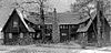
May 28, 1987 Yosemite Valley
37°44′50″N 119°35′12″W / 37.747222°N 119.586667°WYosemite National Park 26 St. Joseph Catholic Church, Rectory and Cemetery April 16, 1991 4983-4985 Bullion St.
37°28′57″N 119°57′37″W / 37.4825°N 119.960278°WMariposa 27 Track Bus No. 19 May 22, 1978 CA 140
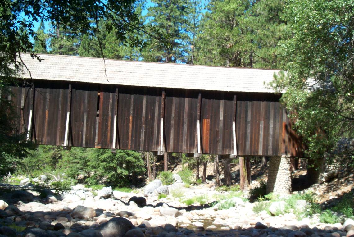
37°40′30″N 119°46′46″W / 37.675°N 119.779444°WEl Portal 28 Wawona Covered Bridge 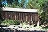
January 11, 2007 Pioneer Yosemite History Center
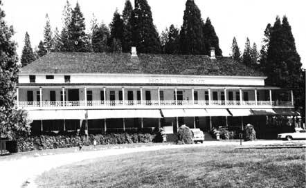
37°32′19″N 119°39′17″W / 37.538611°N 119.654722°WWawona 29 Wawona Hotel and Pavilion 
October 1, 1975 On CA 41 in Yosemite National Park
37°32′11″N 119°39′13″W / 37.536389°N 119.653611°WWawona 30 Yosemite Transportation Company Office June 9, 1978 N of Wawona in Yosemite National Park
37°32′20″N 119°39′17″W / 37.538889°N 119.654722°WWawona 31 Yosemite Valley Archeological District January 20, 1978 Address Restricted Yosemite Village 32 Yosemite Valley Bridges 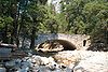
November 25, 1977 8 Bridges over Merced River, Yosemite National Park
37°43′58″N 119°36′00″W / 37.732778°N 119.6°WYosemite Village 33 Yosemite Valley Chapel 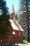
December 12, 1973 Off CA 140
37°44′27″N 119°35′26″W / 37.740833°N 119.590556°WYosemite National Park 34 Yosemite Valley Railroad Caboose No. 15 May 22, 1978 CA 140
37°40′30″N 119°46′46″W / 37.675°N 119.779444°WEl Portal 35 Yosemite Village Historic District March 30, 1978 East of El Portal in Yosemite National Park
37°44′55″N 119°35′18″W / 37.748611°N 119.588333°WEl Portal See also
- National Register of Historic Places listings in California
- List of National Historic Landmarks in California
References
- ^ The latitude and longitude information provided in this table was derived originally from the National Register Information System, which has been found to be fairly accurate for about 99% of listings. For about 1% of NRIS original coordinates, experience has shown that one or both coordinates are typos or otherwise extremely far off; some corrections may have been made. A more subtle problem causes many locations to be off by up to 150 yards, depending on location in the country: most NRIS coordinates were derived from tracing out latitude and longitudes off of USGS topographical quadrant maps created under the North American Datum of 1927, which differs from the current, highly accurate WGS84 GPS system used by Google maps. Chicago is about right, but NRIS longitudes in Washington are higher by about 4.5 seconds, and are lower by about 2.0 seconds in Maine. Latitudes differ by about 1.0 second in Florida. Some locations in this table may have been corrected to current GPS standards.
- ^ "National Register of Historic Places: Weekly List Actions". National Park Service, United States Department of the Interior. Retrieved on November 10, 2011.
- ^ Numbers represent an ordering by significant words. Various colorings, defined here, differentiate National Historic Landmark sites and National Register of Historic Places Districts from other NRHP buildings, structures, sites or objects.
- ^ "National Register Information System". National Register of Historic Places. National Park Service. . http://nrhp.focus.nps.gov/natreg/docs/All_Data.html.
U.S. National Register of Historic Places Topics Lists by states Alabama • Alaska • Arizona • Arkansas • California • Colorado • Connecticut • Delaware • Florida • Georgia • Hawaii • Idaho • Illinois • Indiana • Iowa • Kansas • Kentucky • Louisiana • Maine • Maryland • Massachusetts • Michigan • Minnesota • Mississippi • Missouri • Montana • Nebraska • Nevada • New Hampshire • New Jersey • New Mexico • New York • North Carolina • North Dakota • Ohio • Oklahoma • Oregon • Pennsylvania • Rhode Island • South Carolina • South Dakota • Tennessee • Texas • Utah • Vermont • Virginia • Washington • West Virginia • Wisconsin • WyomingLists by territories Lists by associated states Other Municipalities and communities of Mariposa County, California CDPs Bear Valley | Bootjack | Buck Meadows | Catheys Valley | Coulterville | El Portal | Fish Camp | Greeley Hill | Hornitos | Lake Don Pedro | Mariposa | Midpines | Wawona | Yosemite Valley
Unincorporated
communitiesBagby | Barrett | Ben Hur | Blanchard | Briceburg | Bridgeport | Buena Vista | Clearing House | Curry Village | Darrah | Dogtown | Elliott Corner | Foresta | Granite Springs | Hayward | Hite Cove | Incline | Indian Gulch | Jerseydale | Mormon Bar | Mount Bullion | North Wawona | Ponderosa Basin | South Wawona | Yosemite Village | Yosemite West
Former
settlementsAgua Fria | Bondville | Chinquapin | Drum | Eightmile | Elevenmile | Elkhorn | Emory | Hokokwito | Kocher | Kumaini | Macheto | Minear | Mount Ophir | Newtown | Notomidula | Opie | Phillip's Flat | Quartzburg | Ridleys Ferry | Sakaya | Sloss | Wenger | Wiskala | Yosemite Mill
Categories:- Mariposa County, California
- National Register of Historic Places in California by county
- Lists of National Register of Historic Places in California
-


Wikimedia Foundation. 2010.