- National Register of Historic Places listings in San Benito County, California
-
This list includes properties and districts listed on the National Register of Historic Places in San Benito County, California. Click the "Map of all coordinates" link to the right to view a Google map of all properties and districts with latitude and longitude coordinates in the table below.[1]
-
- This National Park Service list is complete through NPS recent listings posted November 10, 2011.[2]
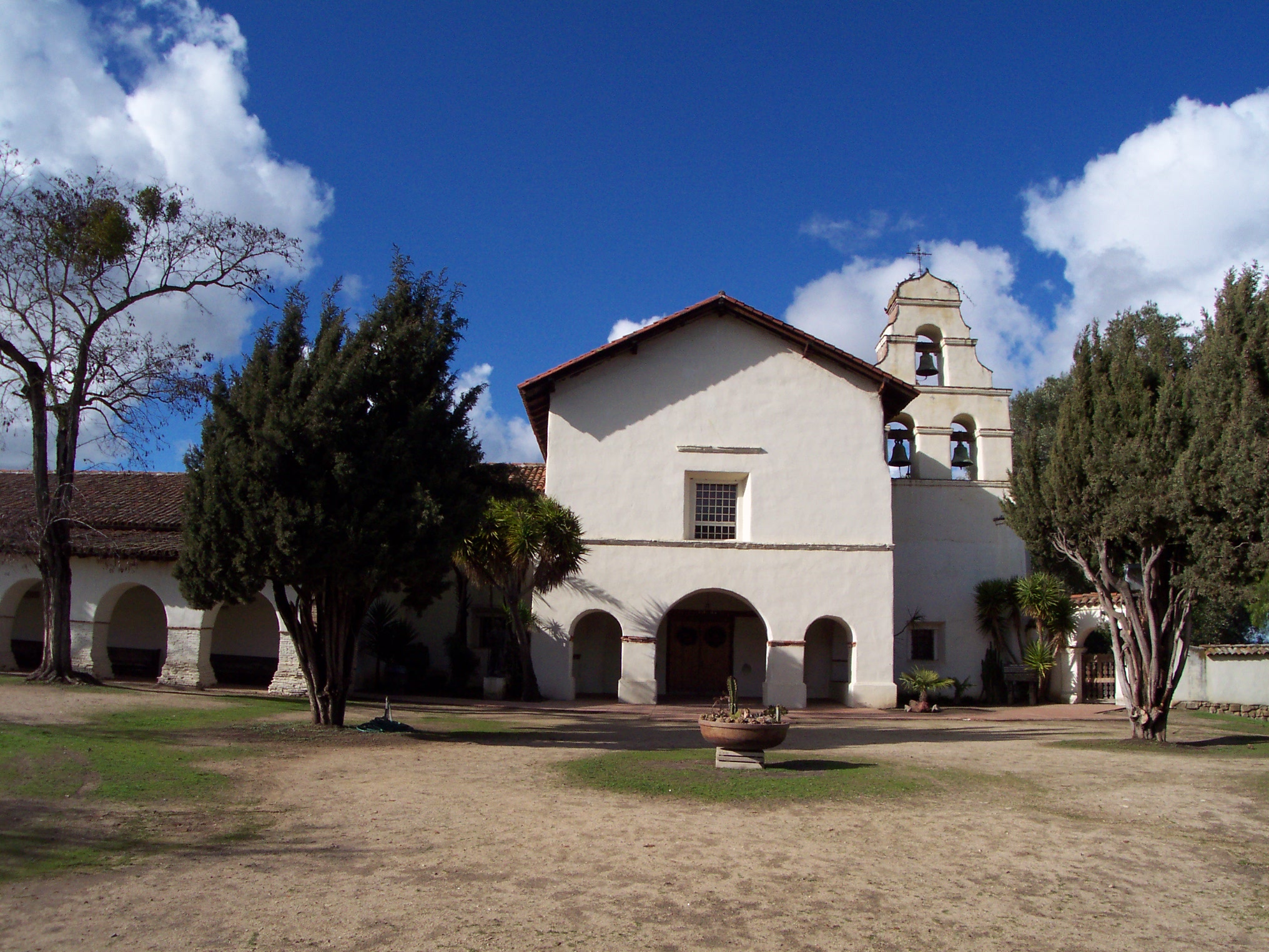
[3] Landmark name [4] Image Date listed Location City or town Summary 1 Anza House 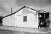
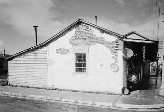
April 15, 1970 3rd and Franklin Sts.
36°50′37″N 121°32′08″W / 36.843622°N 121.535583°WSan Juan Bautista Also known as Juan de Anza House 2 Jose Castro House 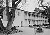
April 15, 1970 S side of the Plaza
36°50′41″N 121°32′05″W / 36.844722°N 121.534722°WSan Juan Bautista 3 Chalone Creek Archeological Sites August 31, 1978 Address Restricted Soledad 4 Downtown Hollister Historic District 
August 14, 1992 Roughly bounded by Fourth, East, South and Monterey Sts.
36°51′00″N 121°24′03″W / 36.85°N 121.400833°WHollister 5 Joel and Rena Hawkins House July 28, 1993 801 South St.
36°50′54″N 121°24′32″W / 36.848333°N 121.408889°WHollister 6 Hollister Carnegie Library March 26, 1992 375 Fifth St.
36°51′04″N 121°24′08″W / 36.851111°N 121.402222°WHollister 7 Marentis House September 13, 1984 45 Monterey St.
36°50′47″N 121°32′29″W / 36.846389°N 121.541389°WSan Juan Bautista 8 Roy D. McCallum House November 24, 1997 1401 San Benito St.
36°50′25″N 121°24′03″W / 36.840278°N 121.400833°WHollister 9 Monterey Street Historic District 
January 7, 1993 Monterey St. and intersecting streets between 5th and B Sts.
36°50′50″N 121°24′12″W / 36.847222°N 121.403333°WHollister 10 Rozas House 
April 12, 1982 31 Polk St.
36°50′42″N 121°32′17″W / 36.844978°N 121.538097°WSan Juan Bautista 11 San Juan Bautista Plaza Historic District 
December 8, 1969 Buildings surrounding plaza at Washington, Mariposa, and 2nd Sts.
36°50′44″N 121°32′04″W / 36.845556°N 121.534444°WSan Juan Bautista 12 San Juan Bautista Third Street Historic District January 9, 2009 3rd St. between 406 3rd St. and Franklin St.
36°50′40″N 121°32′12″W / 36.844556°N 121.536694°WSan Juan Bautista 13 Benjamin Wilcox House February 19, 1982 315 The Alameda
36°50′25″N 121°31′57″W / 36.840278°N 121.5325°WSan Juan Bautista See also
- National Register of Historic Places listings in California
- List of National Historic Landmarks in California
References
- ^ The latitude and longitude information provided in this table was derived originally from the National Register Information System, which has been found to be fairly accurate for about 99% of listings. For about 1% of NRIS original coordinates, experience has shown that one or both coordinates are typos or otherwise extremely far off; some corrections may have been made. A more subtle problem causes many locations to be off by up to 150 yards, depending on location in the country: most NRIS coordinates were derived from tracing out latitude and longitudes off of USGS topographical quadrant maps created under the North American Datum of 1927, which differs from the current, highly accurate WGS84 GPS system used by Google maps. Chicago is about right, but NRIS longitudes in Washington are higher by about 4.5 seconds, and are lower by about 2.0 seconds in Maine. Latitudes differ by about 1.0 second in Florida. Some locations in this table may have been corrected to current GPS standards.
- ^ "National Register of Historic Places: Weekly List Actions". National Park Service, United States Department of the Interior. Retrieved on November 10, 2011.
- ^ Numbers represent an ordering by significant words. Various colorings, defined here, differentiate National Historic Landmark sites and National Register of Historic Places Districts from other NRHP buildings, structures, sites or objects.
- ^ "National Register Information System". National Register of Historic Places. National Park Service. . http://nrhp.focus.nps.gov/natreg/docs/All_Data.html.
U.S. National Register of Historic Places Topics Lists by states Alabama • Alaska • Arizona • Arkansas • California • Colorado • Connecticut • Delaware • Florida • Georgia • Hawaii • Idaho • Illinois • Indiana • Iowa • Kansas • Kentucky • Louisiana • Maine • Maryland • Massachusetts • Michigan • Minnesota • Mississippi • Missouri • Montana • Nebraska • Nevada • New Hampshire • New Jersey • New Mexico • New York • North Carolina • North Dakota • Ohio • Oklahoma • Oregon • Pennsylvania • Rhode Island • South Carolina • South Dakota • Tennessee • Texas • Utah • Vermont • Virginia • Washington • West Virginia • Wisconsin • WyomingLists by territories Lists by associated states Other Municipalities and communities of San Benito County, California Cities 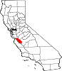
CDPs Aromas‡ | Ridgemark | Tres Pinos
Unincorporated
communitiesGhost
townFootnotes ‡This populated place also has portions in an adjacent county or counties
Categories:- History of San Benito County, California
- San Benito County, California
- National Register of Historic Places in California by county
- Lists of National Register of Historic Places in California
-


Wikimedia Foundation. 2010.