- National Register of Historic Places listings in San Diego County, California
-
 Location of San Diego County in California
This list includes properties and districts listed on the National Register of Historic Places in San Diego County, California. Click the "Map of all coordinates" link to the right to view a Google map of all properties and districts with latitude and longitude coordinates in the table below.[1]
-
- This National Park Service list is complete through NPS recent listings posted November 10, 2011.[2]
Current listings
[3] Landmark name [4] Image Date listed Location City or town Summary 1 Americanization School 
April 8, 1994 1210 Division St.
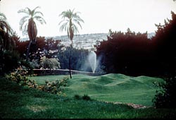
33°11′46″N 117°22′16″W / 33.196111°N 117.371111°WOceanside 2 Anza Borrego-Palo Verde Site, S-2 October 25, 1985 Address Restricted Borrego Springs 3 Anza Borrego-Sin Nombre, S-4 October 25, 1985 Address Restricted Borrego Springs 4 Anza Borrego-Spit Mountain Site, S-3 October 25, 1985 Address Restricted Borrego Springs 5 Aztec Bowl May 19, 1994 Hardy Ave. between 55th St. and Campanile Dr., San Diego State University
32°46′26″N 117°04′26″W / 32.773889°N 117.073889°WSan Diego 6 Pearl Baker Row House 
September 30, 1993 6122 Paseo Delicias
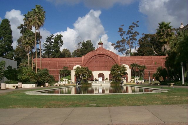
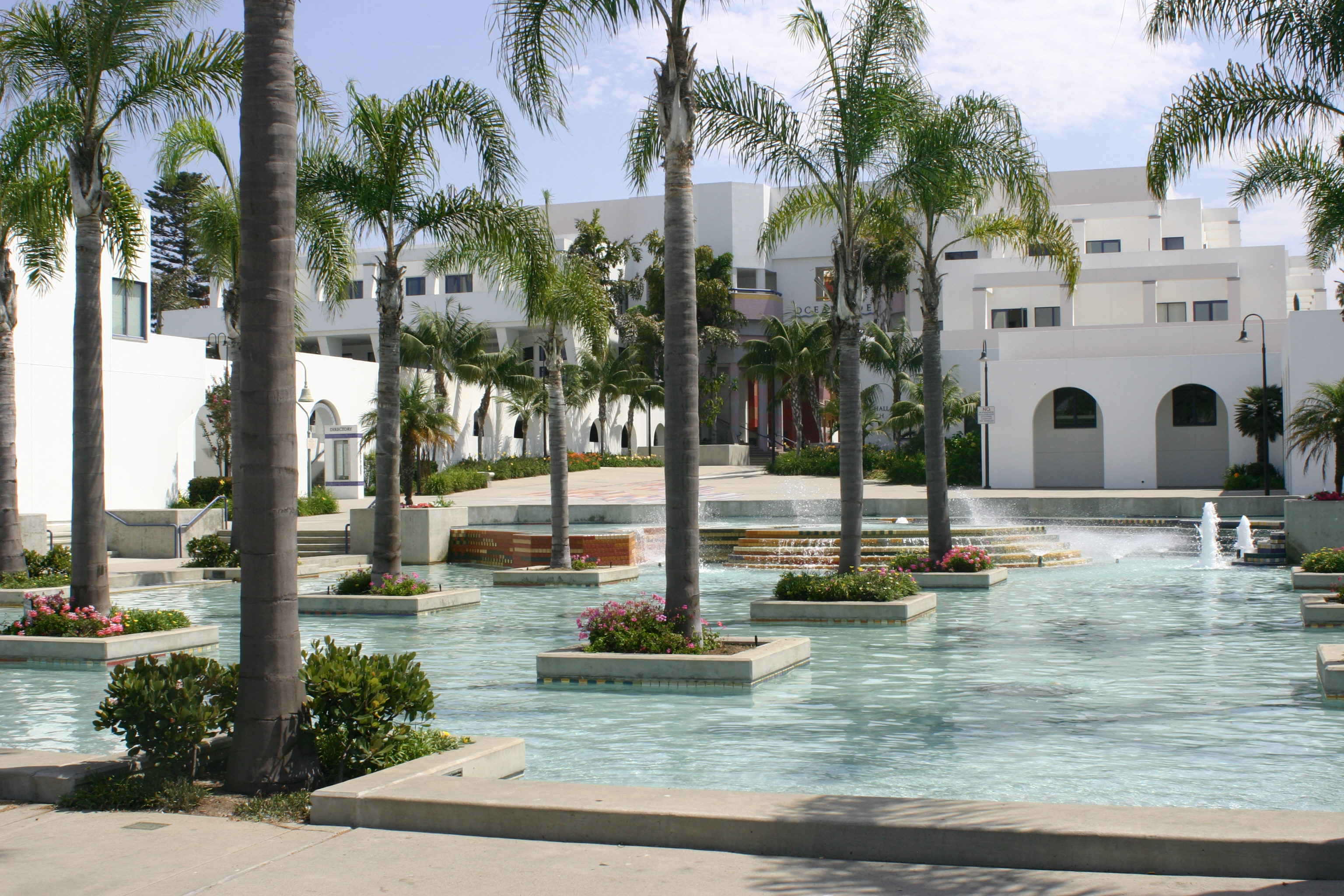
33°01′15″N 117°12′06″W / 33.020833°N 117.201667°WRancho Santa Fe 7 Balboa Park 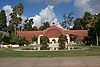
December 22, 1977 CA Quadrangle 41
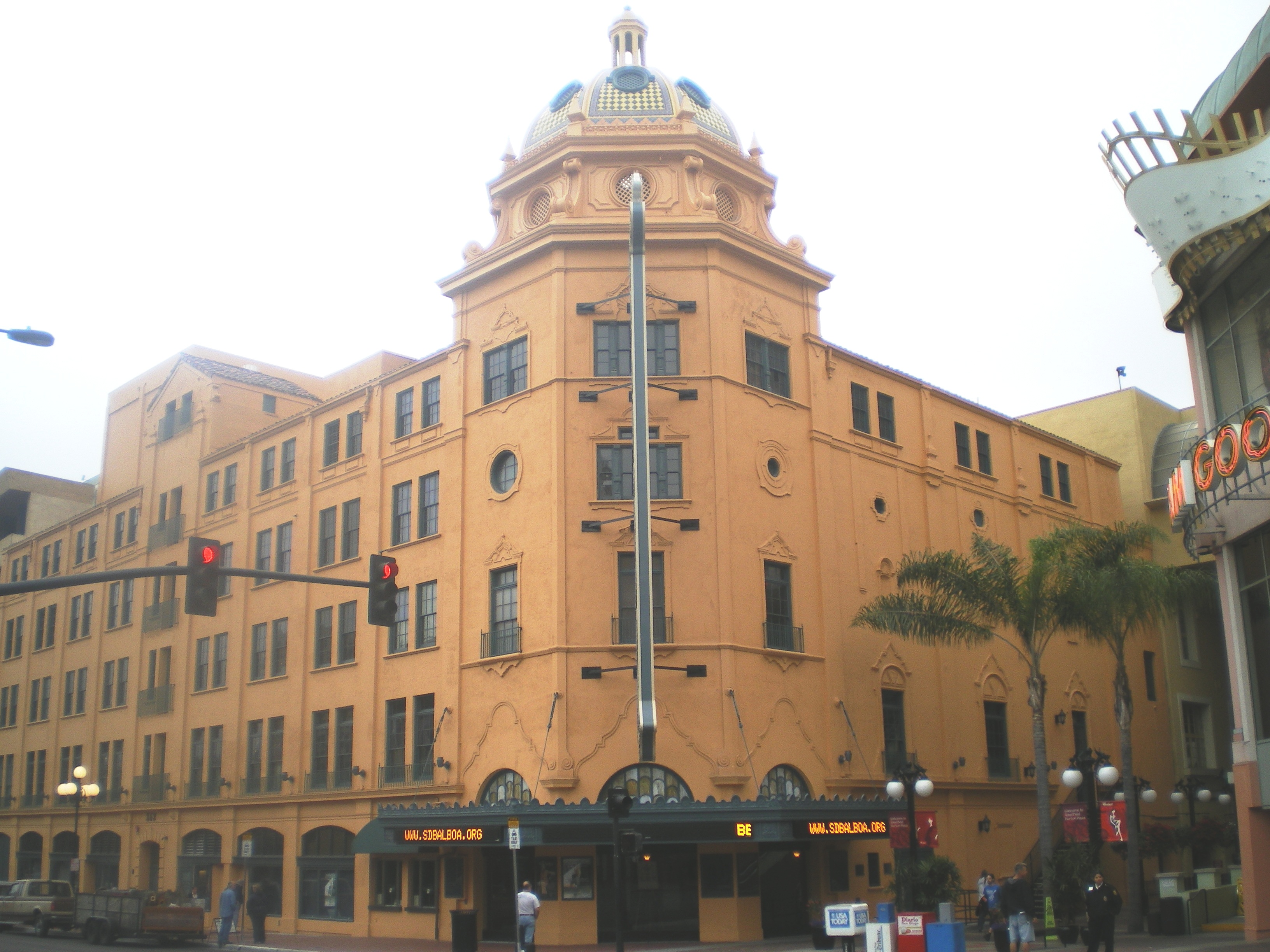
32°43′50″N 117°09′03″W / 32.730556°N 117.150833°WSan Diego 8 Balboa Theatre 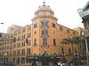
October 24, 1996 868 4th Ave.
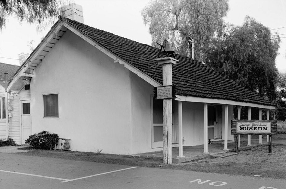
32°42′50″N 117°09′38″W / 32.713889°N 117.160556°WSan Diego 9 Hubert H. Bancroft Ranchhouse 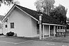
October 15, 1966 Bancroft Dr. off CA 94
32°44′11″N 116°59′18″W / 32.736389°N 116.988333°WSpring Valley 10 Bandy House January 12, 1993 638 S. Juniper
33°07′05″N 117°01′13″W / 33.118056°N 117.020278°WEscondido 11 A.H. Beach House December 30, 1993 700 S. Juniper
33°07′04″N 117°04′25″W / 33.117778°N 117.073611°WEscondido 12 Bear Valley Archeological Site July 30, 1974 Address Restricted Pine Valley 13 BERKELEY 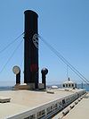
December 14, 1990 B St. Pier
32°43′07″N 117°10′22″W / 32.718611°N 117.172778°WSan Diego 14 Samuel Bingham House 
August 5, 1991 6427 La Plateada
33°01′32″N 117°11′19″W / 33.025556°N 117.188611°WRancho Santa Fe 15 Ellis Bishop House January 5, 1999 4802 El Arco Iris
33°00′20″N 117°13′43″W / 33.005556°N 117.228611°WRancho Santa Fe 16 William Black House-SDM-W-12 Locus A (CA-SDI-4669) May 2, 2008 Address Restricted La Jolla 17 Charles A. Braun House January 5, 1986 790 Vale View Dr.
33°11′10″N 117°14′50″W / 33.186111°N 117.247222°WVista 18 Brick Row July 16, 1973 A Ave. between 9th and 10th Sts.
32°40′29″N 117°06′19″W / 32.674722°N 117.105278°WNational City 19 Burnham-Marston House September 22, 1986 3563 Seventh Ave.
32°44′34″N 117°09′23″W / 32.742778°N 117.156389°WSan Diego 20 Cabrillo National Monument 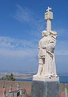
October 15, 1966 10 mi. from San Diego off U.S. 10, near S tip of Point Loma
32°40′18″N 117°14′26″W / 32.67167°N 117.24056°WSan Diego 21 California Quadrangle May 17, 1974 Balboa Park-El Prado Area
32°43′53″N 117°09′06″W / 32.731389°N 117.151667°WSan Diego 22 Canfield-Wright House 
May 14, 2004 420 Avenida Primavera
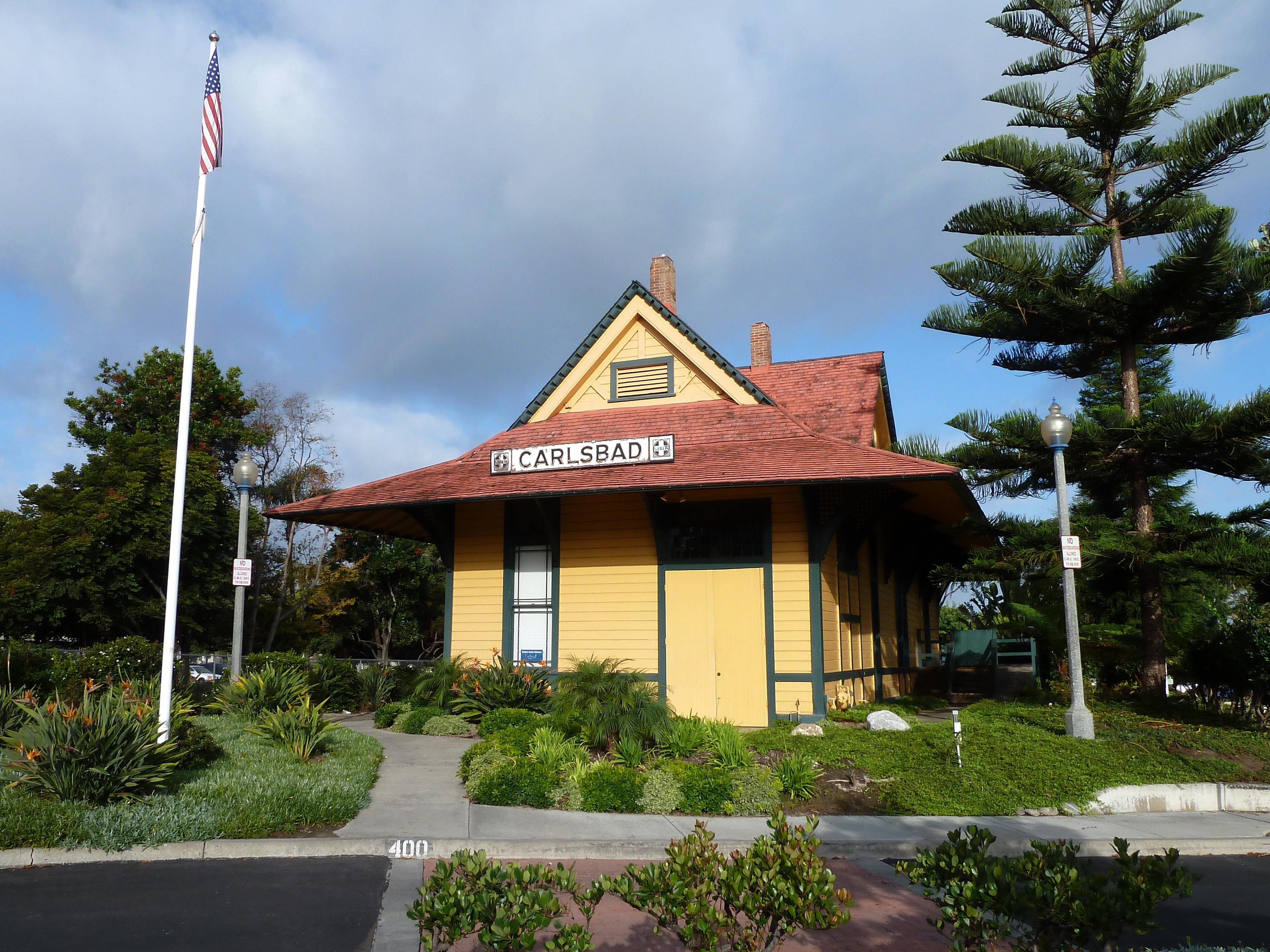
32°57′51″N 117°15′47″W / 32.964167°N 117.263056°WDel Mar 23 Carlsbad Santa Fe Depot 
September 30, 1993 400 Carlsbad Village Dr. (Elm Ave.)
33°09′34″N 117°20′55″W / 33.159444°N 117.348611°WCarlsbad Now houses Visitor Information Center 24 Norman and Florence B. Carmichael House 
August 5, 1991 6855 La Valle Plateada
33°01′31″N 117°11′05″W / 33.025278°N 117.184722°WRancho Santa Fe 25 The Castle March 30, 1978 W of Ramona
33°00′49″N 116°57′17″W / 33.013611°N 116.954722°WRamona 26 Chaplain's House November 24, 1978 836 Washington St.
32°45′02″N 117°09′20″W / 32.750556°N 117.155556°WSan Diego 27 George A. C. Christiancy House August 5, 1991 17078 El Mirador
33°01′45″N 117°11′17″W / 33.029167°N 117.188056°WRancho Santa Fe 28 City of San Diego Police Headquarters, Jails and Courts 
July 9, 1998 801 W. Market St.
32°42′39″N 117°10′09″W / 32.710833°N 117.169167°WSan Diego 29 Reginald M. and Constance Clotfelter Row House 
August 5, 1991 6112 Paseo Delicias
33°01′14″N 117°12′08″W / 33.020556°N 117.202222°WRancho Santa Fe 30 Coulter House September 30, 1983 3162 2nd Ave.
32°44′18″N 117°09′42″W / 32.738333°N 117.161667°WSan Diego 31 Cuyamaca Village April 2, 2008 Address Restricted San Diego 32 Eagles Hall 
October 4, 1985 733 Eighth Ave.
32°42′47″N 117°09′21″W / 32.713056°N 117.155833°WSan Diego 33 Edgemoor Farm Dairy Barn 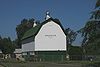
May 16, 1985 9064 Edgemoor Dr., Edgemoor Geriatric Hospital
32°50′36″N 116°58′09″W / 32.843333°N 116.969167°WSantee 34 El Cortez Apartment Hotel 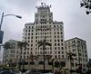
January 17, 2002 702 Ash St.
32°43′14″N 117°09′25″W / 32.720556°N 117.156944°WSan Diego 35 El Prado Complex December 12, 1976 Balboa Park
32°43′52″N 117°09′07″W / 32.731111°N 117.151944°WSan Diego 36 Estudillo House 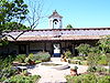
April 15, 1970 4000 Mason St.
32°45′14″N 117°11′45″W / 32.753889°N 117.195833°WSan Diego 37 Fages-De Anza Trail-Southern Emigrant Road January 29, 1973 Anza-Borrego State Park Borrego Springs 38 Felicita County Park Prehistoric Village Site January 31, 2008 Address Restricted Escondido 39 Guy and Margaret Fleming House June 18, 1998 12279 Torrey Pines Park Rd.
32°55′19″N 117°15′18″W / 32.921944°N 117.255°WSan Diego 40 Ford Building 
April 26, 1973 Balboa Park, Palisades Area
32°43′34″N 117°09′13″W / 32.726111°N 117.153611°WSan Diego 41 Gaslamp Quarter Historic District 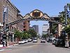
May 23, 1980 Bounded by RR tracks, Broadway, 4th, and 6th Sts.
32°42′42″N 117°09′33″W / 32.711667°N 117.159167°WSan Diego 42 Georgia Street Bridge-Caltrans Bridge 
February 12, 1999 Georgia St. and University Ave., bet. Florida St. and Park Blvd.
32°44′55″N 117°08′40″W / 32.748611°N 117.144444°WSan Diego 43 John Ginty House December 18, 2006 1568 Ninth Ave.
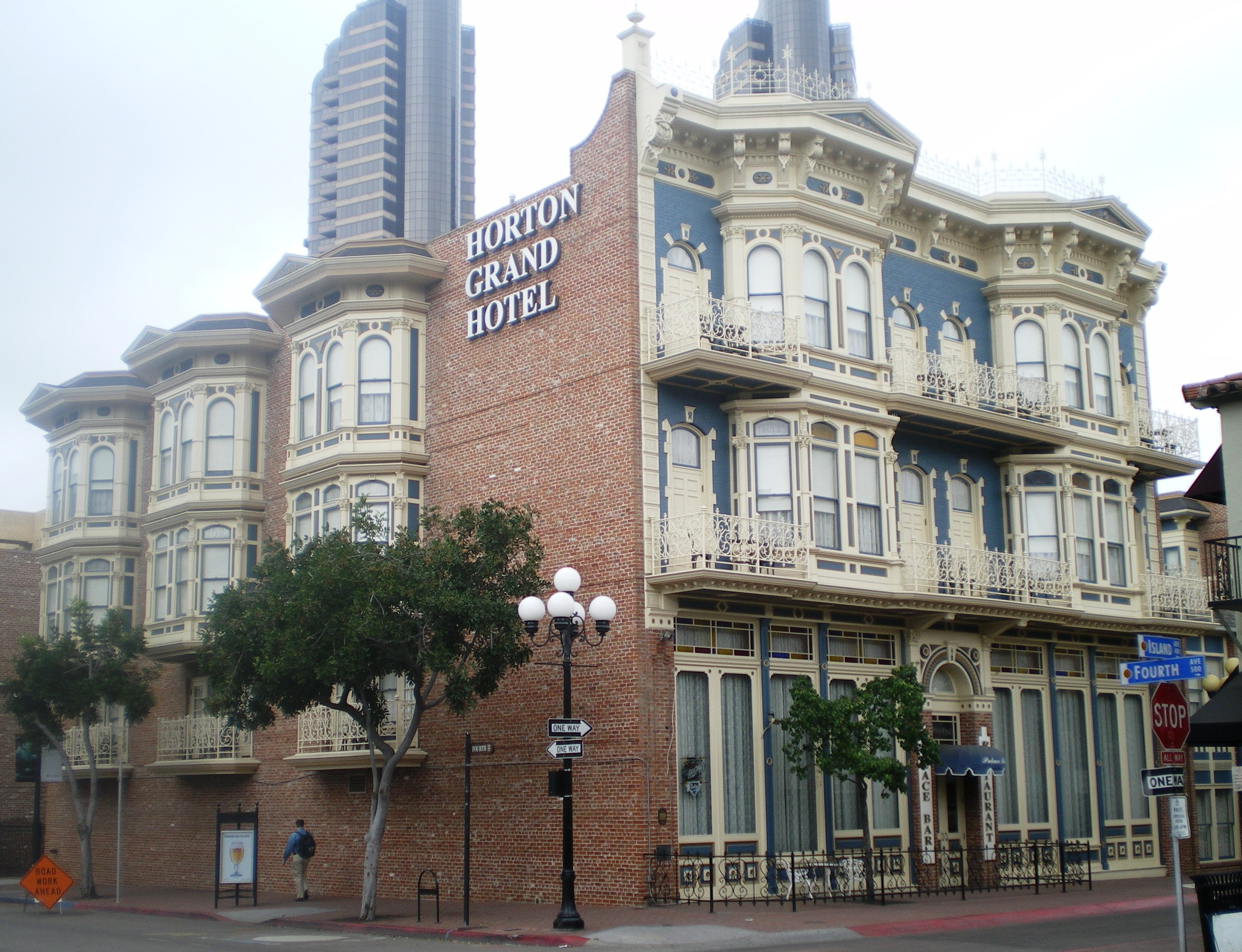
32°43′24″N 117°09′25″W / 32.723333°N 117.156944°WSan Diego 44 Grand-Horton Hotel 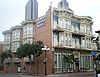
June 20, 1980 332, 328 and 334 F St.
32°42′50″N 117°09′38″W / 32.713889°N 117.160556°WSan Diego 45 Granger Hall 
March 18, 1975 1700 E. 4th St.
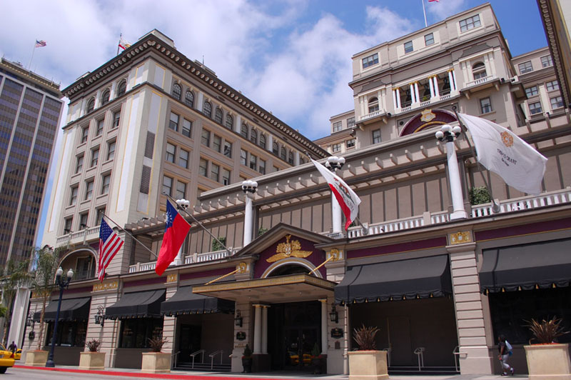
32°41′03″N 117°05′24″W / 32.684167°N 117.09°WNational City 46 U. S. Grant Hotel 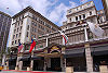
August 27, 1979 326 Broadway St
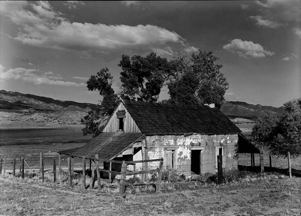
32°42′57″N 117°09′39″W / 32.715833°N 117.160833°WSan Diego 47 Guajome Ranch House 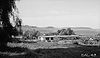
April 15, 1970 2.5 mi. NE of Vista
33°13′45″N 117°15′19″W / 33.229167°N 117.255278°WVista 48 Alfred Haines House July 30, 1992 2470 E St.
32°42′54″N 117°08′25″W / 32.715°N 117.140278°WSan Diego 49 Hawthorne Inn March 30, 1982 2121 1st Ave.
32°43′38″N 117°09′46″W / 32.727222°N 117.162778°WSan Diego 50 Heilman Villas 
April 8, 1992 1060, 1070, 1080, 1090 Seventh St. and 706-720 (even nos.) Orange Ave.
32°41′24″N 117°10′37″W / 32.69°N 117.176944°WCoronado 51 Holzwasser-Walker Scoot Building and Owl Drug Building 
February 27, 2005 1014 Fifth ave. and 402-416 Broadway
32°43′05″N 117°09′39″W / 32.718056°N 117.160833°WSan Diego 52 Hotel Charlotta January 7, 1993 637 S. Upas
33°06′36″N 117°05′26″W / 33.11°N 117.090556°WEscondido 53 Hotel Del Coronado 
October 14, 1971 1500 Orange Ave.
32°40′51″N 117°10′39″W / 32.680833°N 117.1775°WCoronado 54 Howell House November 20, 1992 103 W. Eighth St.
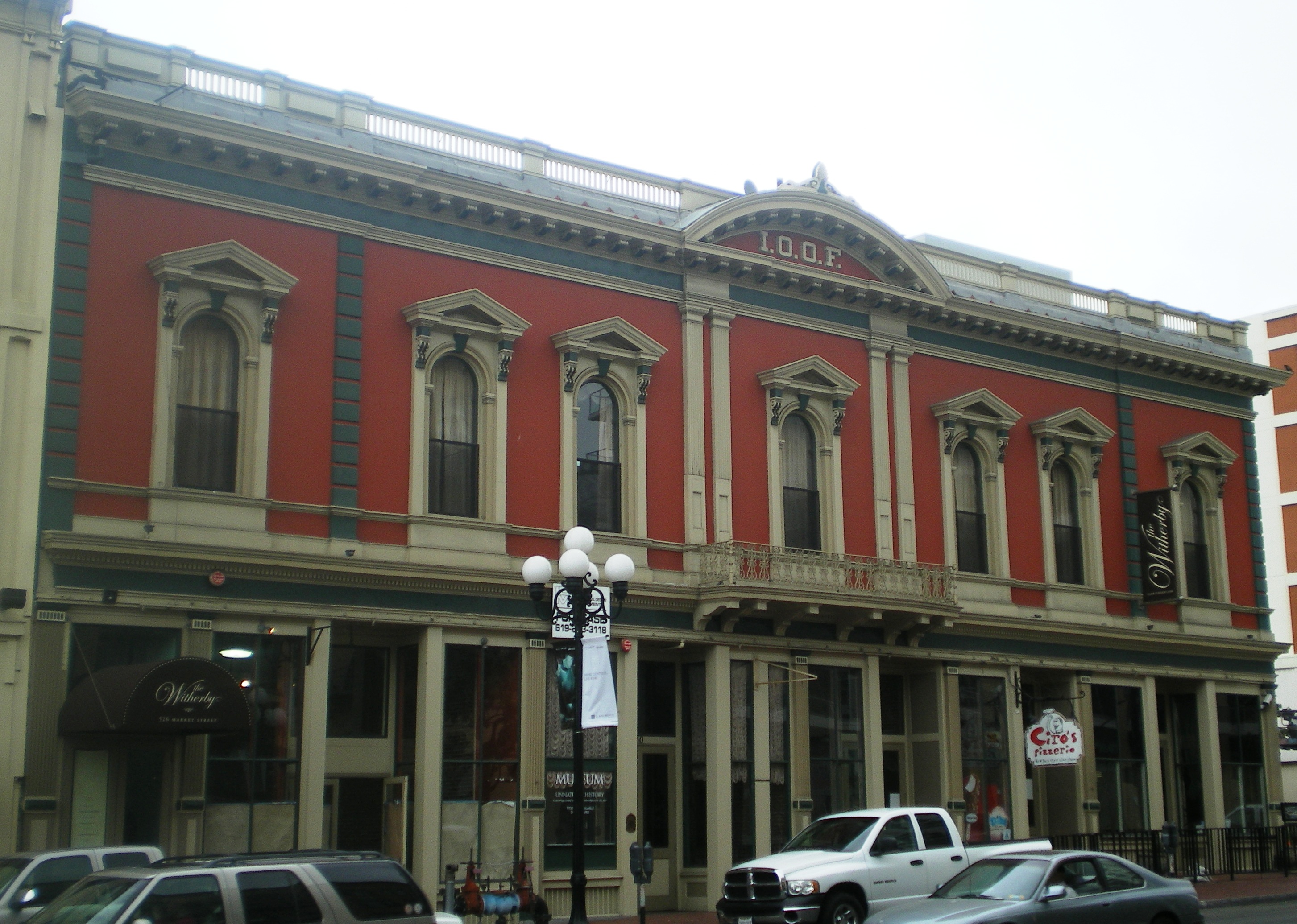
33°06′54″N 117°04′34″W / 33.115°N 117.076111°WEscondido 55 Independent Order of Odd Fellows Building 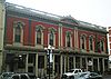
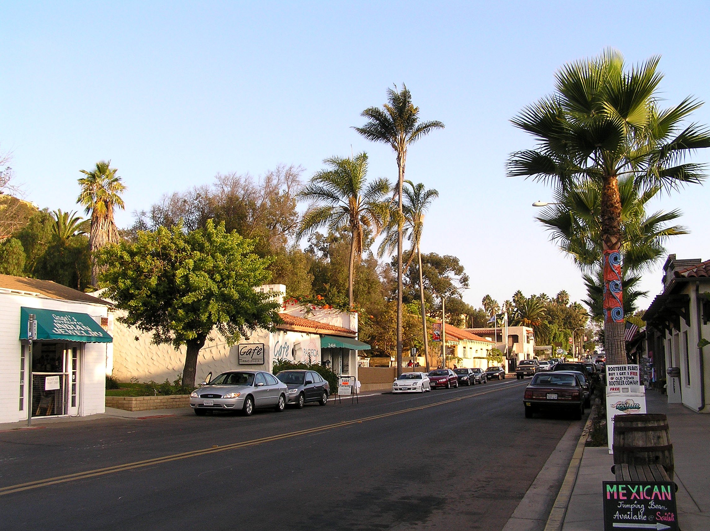
January 31, 1978 526 Market St.
32°42′42″N 117°09′31″W / 32.711667°N 117.158611°WSan Diego 56 Initial Point of Boundary Between U.S. and Mexico September 6, 1974 S of Imperial Beach off Monument Rd.
32°32′04″N 117°07′19″W / 32.534444°N 117.121944°WSan Diego 57 Johnson-Taylor Ranch Headquarters October 31, 1980 E of San Diego and Black Mountain Rd.
32°56′18″N 117°08′18″W / 32.938333°N 117.138333°WSan Diego 58 Martha Kinsey House August 7, 1992 1624 Ludington Ln.
32°50′52″N 117°16′28″W / 32.847778°N 117.274444°WLa Jolla 59 Kuchamaa October 6, 1992 SE of San Diego at the US-Mexico border
32°34′38″N 116°41′28″W / 32.577222°N 116.691111°WTecate 60 La Jolla Women's Club 
November 5, 1974 715 Silverado St.
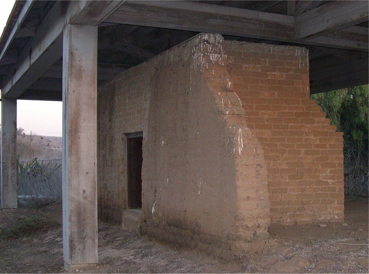
32°50′39″N 117°16′36″W / 32.844167°N 117.276667°WLa Jolla 61 Las Flores Adobe 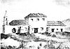
November 24, 1968 Stuart Mesa Rd., about 7 mi. N of jct. with Vandergrift Blvd.
33°17′59″N 117°27′23″W / 33.299722°N 117.456389°WCamp Pendleton same or different than Las Flores Estancia and Las Flores Site? 62 Las Flores Estancia May 20, 1993 Jct. of Pulgas and Stuart Mesa Rds.
33°17′59″N 117°27′38″W / 33.299722°N 117.460556°WCamp Pendleton same or different than Las Flores Adobe and Las Flores Site? 63 Las Flores Site August 19, 1975 Address Restricted Camp Pendleton same or different than Las Flores Adobe and Las Flores Estancia? 64 Robert E. Lee Hotel May 31, 1980 815 3rd Ave. and 314 F St.
32°42′50″N 117°09′39″W / 32.713889°N 117.160833°WSan Diego 65 Charles Libby House 
July 12, 1978 636 Rockledge St.
33°11′29″N 117°21′58″W / 33.191389°N 117.366111°WOceanside 66 Lindstrom House February 13, 2001 4669 E. Talmadge Dr.
32°45′51″N 117°05′54″W / 32.764167°N 117.098333°WSan Diego 67 Long-Waterman House 
June 14, 1976 2408 1st Ave.
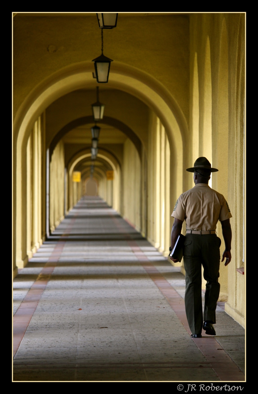
32°43′49″N 117°09′48″W / 32.730278°N 117.163333°WSan Diego 68 Marine Corps Recruit Depot Historic District 
January 31, 1991 S of jct. of Barnett Ave. and Pacific Hwy.
32°44′31″N 117°11′50″W / 32.741944°N 117.197222°WSan Diego 69 George W. Marston House 
December 16, 1974 3525 7th Ave.
32°44′29″N 117°09′26″W / 32.741389°N 117.157222°WSan Diego 70 McClintock Storage Warehouse 
October 3, 1980 1202 Kettner Blvd.
32°43′05″N 117°10′07″W / 32.718056°N 117.168611°WSan Diego 71 Medico-Dental Building 
September 4, 1979 233 A St.
32°43′06″N 117°09′41″W / 32.718333°N 117.161389°WSan Diego 72 Mission Beach Roller Coaster 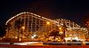
December 27, 1978 3000 Mission Blvd.
32°46′18″N 117°15′00″W / 32.771667°N 117.25°WSan Diego 73 Mission Brewery July 6, 1989 1715 Hancock St.
32°44′30″N 117°10′59″W / 32.741667°N 117.183056°WSan Diego 74 Mohnike Adobe July 17, 2002 12115 Black Mountain Rd.
32°56′18″N 117°07′41″W / 32.9384°N 117.127928°WSan Diego 75 Maj. Myles Moylan House March 22, 1984 2214-2224 2nd Ave.
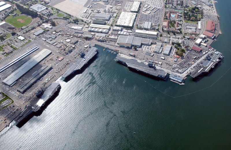
32°43′43″N 117°09′44″W / 32.728611°N 117.162222°WSan Diego 76 Naval Air Station, San Diego, Historic District 
May 21, 1991 Naval Air Station, North Island, N. shore
32°42′42″N 117°11′39″W / 32.711667°N 117.194167°WSan Diego 77 Naval Training Center 
July 5, 2001 Barnett St. and Rosecrans Blvd.
32°44′08″N 117°12′44″W / 32.735556°N 117.212222°WSan Diego 78 Oak Grove Butterfield Stage Station 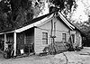
October 15, 1966 13 mi. NW of Warner Springs on CA 79
33°23′23″N 116°47′39″W / 33.389722°N 116.794167°WOak Grove 79 Oceanside City Hall and Fire Station 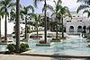
June 7, 1989 704 and 714 Third St.
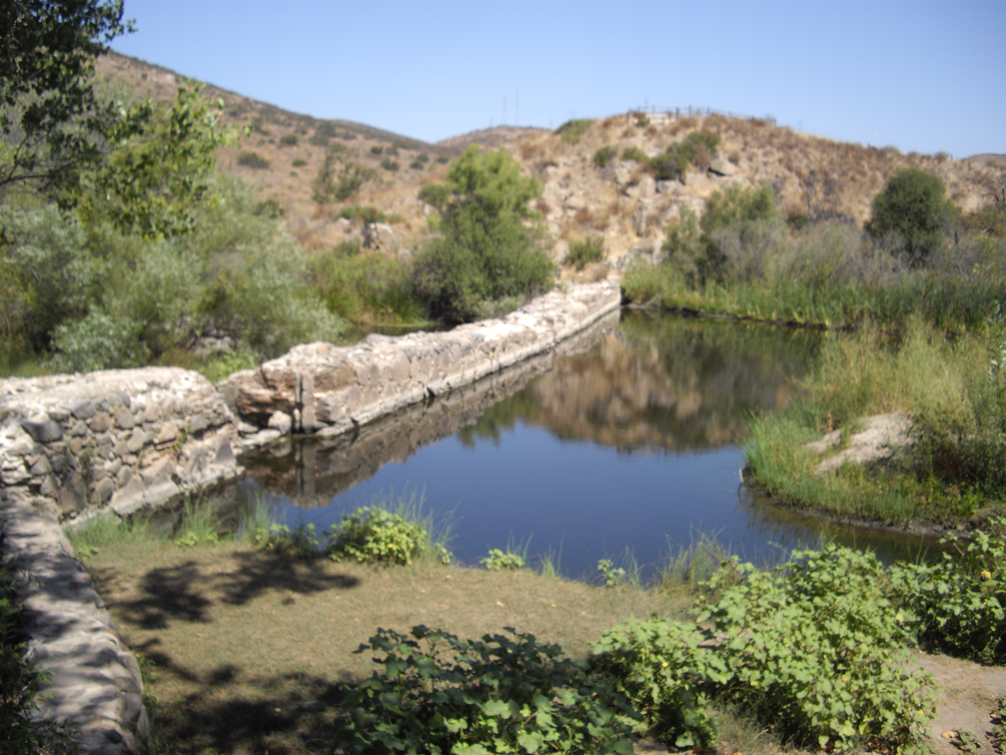
33°11′53″N 117°22′40″W / 33.198056°N 117.377778°WOceanside 80 Old Mission Dam 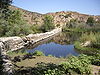
October 15, 1966 N side of Mission St.-Gorge Rd.
32°50′24″N 117°02′32″W / 32.84°N 117.042222°WSan Diego 81 Old Point Loma Lighthouse 
June 27, 1974 Included in Cabrillo National Monument
32°40′19″N 117°14′25″W / 32.671944°N 117.240278°WSan Diego 82 Old Town San Diego Historic District 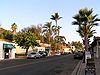
September 3, 1971 Jct. of US 5 and US 80
32°45′15″N 117°11′47″W / 32.754167°N 117.196389°WSan Diego 83 Olivenhain Town Meeting Hall December 17, 1993 423 Rancho Santa Fe Rd.
33°02′36″N 117°14′04″W / 33.043333°N 117.234444°WOlivenhain 84 Panama Hotel 
March 22, 1984 105 W. F St.
32°42′48″N 117°09′47″W / 32.713333°N 117.163056°WSan Diego 85 Park Place Methodist Episcopal Church South September 15, 1983 508 Olive St.
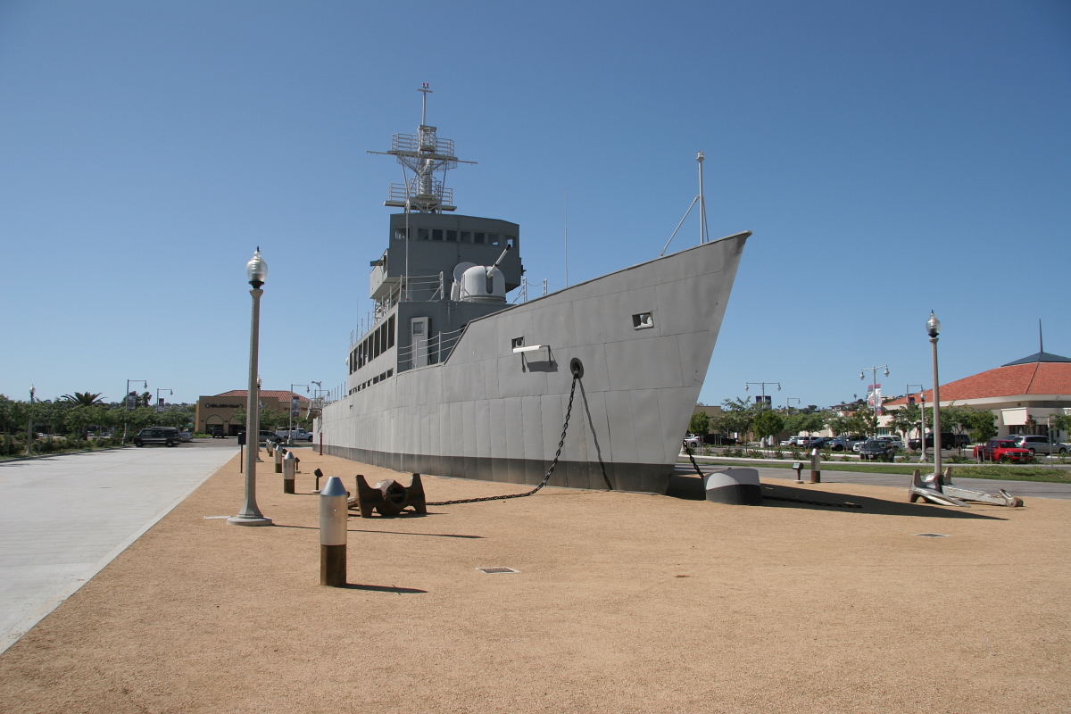
32°44′06″N 117°09′32″W / 32.735°N 117.158889°WSan Diego 86 Pilot (pilot boat) February 1, 2011 Maritime Museum of San Diego, 1492 N Harbor Dr.
32°43′15″N 117°10′28″W / 32.720833°N 117.174444°WSan Diego 87 Pythias Lodge Building April 8, 1981 211 E St. and 870 3rd Ave.
32°42′52″N 117°09′41″W / 32.714444°N 117.161389°WSan Diego 88 Ramona Town Hall September 26, 1994 729 Main St.
33°02′41″N 116°51′48″W / 33.044722°N 116.863333°WRamona 89 Rancho De Los Kiotes March 31, 1992 6200 Flying L.C. Lane
33°07′13″N 117°14′08″W / 33.120278°N 117.235556°WCarlsbad 90 Rancho Santa Fe Land and Improvement Company Office 
August 5, 1991 16915 Avenida de Acacias
33°01′10″N 117°12′11″W / 33.019444°N 117.203056°WRancho Santa Fe 91 Red Rest and Red Roost Cottages 
March 15, 1976 1187 and 1179 Coast Blvd.
32°50′59″N 117°16′18″W / 32.849722°N 117.271667°WLa Jolla 92 Lilian Jenette Rice House August 5, 1991 16780 La Gracia
33°01′03″N 117°12′16″W / 33.0175°N 117.204444°WRancho Santa Fe 93 Robinson Hotel June 23, 1978 2032 Main St.
33°04′40″N 116°36′01″W / 33.077778°N 116.600278°WJulian 94 Rockwell Field May 21, 1991 North Island
32°41′48″N 117°11′49″W / 32.696667°N 117.196944°WSan Diego 95 Rosecroft September 22, 2003 530 Silvergate Ave.
32°41′51″N 117°14′44″W / 32.6975°N 117.245556°WSan Diego 96 Rosicrucian Fellowship Temple 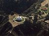
April 7, 1995 2222 Mission Ave.
33°12′36″N 117°21′30″W / 33.21°N 117.358333°WOceanside 97 Ruiz-Alvarado Ranch Site 
January 22, 1982 Address Restricted San Diego 98 San Diego Armed Services YMCA 
November 15, 2007 500 W Broadway
32°43′05″N 117°10′05″W / 32.718056°N 117.168056°WSan Diego 99 San Diego Civic Center May 16, 1988 1600 Pacific Hwy.
32°43′52″N 117°10′15″W / 32.731111°N 117.170833°WSan Diego 100 San Diego Mission Church 
April 15, 1970 5 mi. E of Old Town San Diego on Friars Rd.
32°47′04″N 117°06′23″W / 32.784444°N 117.106389°WSan Diego 
101 San Diego Presidio 
October 15, 1966 Presidio Park
32°45′31″N 117°11′36″W / 32.758611°N 117.193333°WSan Diego 102 San Diego Rowing Club 
August 30, 1979 525 E. Harbor Dr
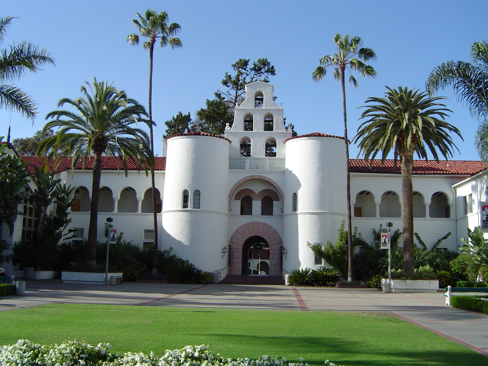
32°42′16″N 117°09′44″W / 32.704444°N 117.162222°WSan Diego 103 San Diego State College 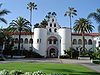
September 4, 1997 5300 Campanile Dr.
32°46′33″N 117°04′16″W / 32.775833°N 117.071111°WSan Diego 104 San Diego Trust and Savings Bank Building 
December 17, 1999 530-540 Broadway
32°42′57″N 117°09′31″W / 32.715833°N 117.158611°WSan Diego 105 San Diego Veterans' War Memorial Building-Balboa Park September 28, 2000 3325 Zoo Dr.
32°44′19″N 117°08′50″W / 32.738611°N 117.147222°WSan Diego 106 San Luis Rey Mission Church 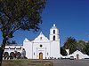
April 15, 1970 4 mi. E of Oceanside on CA 76
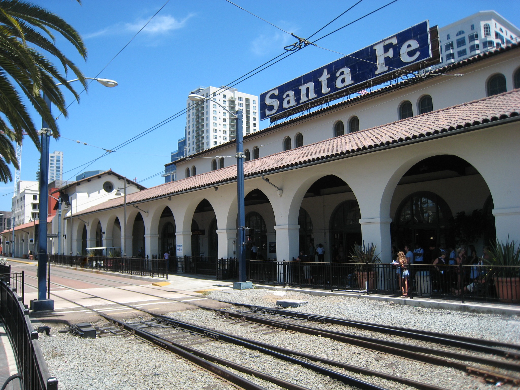
33°13′57″N 117°19′10″W / 33.2325°N 117.319444°WOceanside 107 Santa Fe Depot 
June 26, 1972 1050 Kettner St.
32°43′01″N 117°10′07″W / 32.716944°N 117.168611°WSan Diego 108 Santa Margarita Ranchhouse May 6, 1971 Off Vandergrift Blvd.
33°18′36″N 117°20′25″W / 33.31°N 117.340278°WCamp Pendleton 109 George H. Scripps Memorial Marine Biological Laboratory 
November 10, 1977 8602 La Jolla Shores Dr.
32°51′54″N 117°15′12″W / 32.865°N 117.253333°WLa Jolla 110 Charles A. Shaffer House 
August 5, 1991 5610 La Crescenta
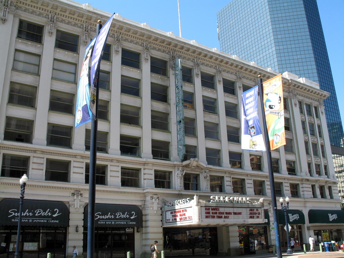
33°02′28″N 117°12′54″W / 33.041111°N 117.215°WRancho Santa Fe 111 Sorrento Valley Site October 21, 1975 Address Restricted San Diego 112 Spreckels Theatre Building 
May 28, 1975 123 W. Broadway
32°42′55″N 117°09′45″W / 32.715278°N 117.1625°WSan Diego 113 St. Matthew's Episcopal Church 
October 25, 1973 521 E. 8th St.
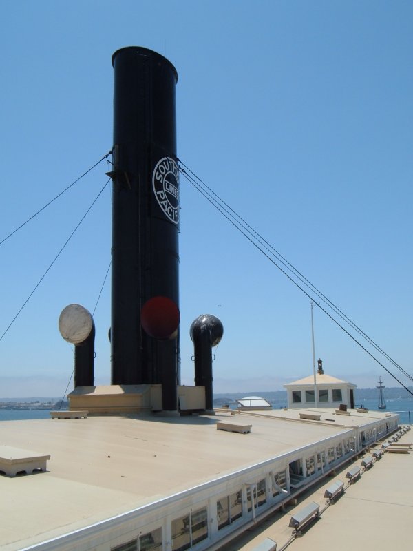
32°40′40″N 117°06′02″W / 32.677778°N 117.100556°WNational City 114 STAR OF INDIA 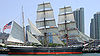
November 13, 1966 San Diego Embarcadero
32°42′57″N 117°10′22″W / 32.715833°N 117.172778°WSan Diego 115 Station and General Office, California Southern Railroad 
April 18, 1996 900 W. 23rd St.
32°39′36″N 117°06′38″W / 32.66°N 117.110556°WNational City 116 Sunnyslope Lodge September 24, 1999 3733 Robinson Mews
32°44′44″N 117°09′52″W / 32.745556°N 117.164444°WSan Diego 117 A. H. Sweet Residence and Adjacent Small House April 16, 1987 435 W. Spruce and 3141 Curlew Sts.
32°44′18″N 117°09′59″W / 32.738333°N 117.166389°WSan Diego 118 Table Mountain District October 28, 1983 Address Restricted Jacumba 119 Teacher Training School Building-San Diego State Normal School 
September 17, 1999 4345 Campus Ave.
32°45′20″N 117°08′47″W / 32.755556°N 117.146389°WSan Diego 120 Claude and Florence Terwilliger House August 5, 1991 5880 San Elijo
33°02′02″N 117°12′20″W / 33.033889°N 117.205556°WRancho Santa Fe 121 Thomas House December 30, 1992 208 E. Fifth Ave.
33°07′08″N 117°04′36″W / 33.118889°N 117.076667°WEscondido 122 Torrey Pines Gliderport 
July 12, 1993 W of Torrey Pines Rd., bordering Torrey Pines Scenic Dr. and S and W of Torrey Pines Golf Course
32°53′23″N 117°14′54″W / 32.889722°N 117.248333°WSan Diego 1930 Glider site, still used today for paragliding and hang gliding. 123 Torrey Pines Lodge 
June 18, 1998 12201 Torrey Pines Park Rd.
32°55′15″N 117°15′03″W / 32.920833°N 117.250833°WSan Diego 124 Torrey Pines Park Road 
October 22, 1998 Roughly the North/South R. within Torrey Pines State Reserve
32°55′10″N 117°15′03″W / 32.919444°N 117.250833°WSan Diego 125 U.S. Courthouse 
January 29, 1975 325 W. F St.
32°42′48″N 117°09′55″W / 32.713333°N 117.165278°WSan Diego 126 U.S. Inspection Station/U.S. Custom House February 10, 1983 Virginia and Tijuana Sts.
32°32′34″N 117°01′41″W / 32.542778°N 117.028°WSan Ysidro 127 US Inspection Station-Tecate 
February 14, 1992 CA 188
32°34′36″N 116°37′36″W / 32.576667°N 116.626667°WTecate 128 US Post Office-Downtown Station 
January 11, 1985 815 E St.
32°42′51″N 117°09′22″W / 32.714167°N 117.156111°WSan Diego 129 Theophile Verlaque House August 7, 1991 645 Main St.
33°02′43″N 116°51′43″W / 33.045278°N 116.861944°WRamona 130 Villa Montezuma 
May 6, 1971 1925 K St.
32°42′29″N 117°08′46″W / 32.708128°N 117.146078°WSan Diego 131 Warner's Ranch 
October 15, 1966 4 mi. S of Warner Springs
33°14′19″N 116°39′03″W / 33.238611°N 116.650833°WWarner Springs 132 Watts Building 
April 26, 1979 520 E St.
32°42′53″N 117°09′32″W / 32.714722°N 117.158889°WSan Diego See also
- National Register of Historic Places listings in California
- List of National Historic Landmarks in California
References
- ^ The latitude and longitude information provided in this table was derived originally from the National Register Information System, which has been found to be fairly accurate for about 99% of listings. For about 1% of NRIS original coordinates, experience has shown that one or both coordinates are typos or otherwise extremely far off; some corrections may have been made. A more subtle problem causes many locations to be off by up to 150 yards, depending on location in the country: most NRIS coordinates were derived from tracing out latitude and longitudes off of USGS topographical quadrant maps created under the North American Datum of 1927, which differs from the current, highly accurate WGS84 GPS system used by Google maps. Chicago is about right, but NRIS longitudes in Washington are higher by about 4.5 seconds, and are lower by about 2.0 seconds in Maine. Latitudes differ by about 1.0 second in Florida. Some locations in this table may have been corrected to current GPS standards.
- ^ "National Register of Historic Places: Weekly List Actions". National Park Service, United States Department of the Interior. Retrieved on November 10, 2011.
- ^ Numbers represent an ordering by significant words. Various colorings, defined here, differentiate National Historic Landmark sites and National Register of Historic Places Districts from other NRHP buildings, structures, sites or objects.
- ^ "National Register Information System". National Register of Historic Places. National Park Service. . http://nrhp.focus.nps.gov/natreg/docs/All_Data.html.
U.S. National Register of Historic Places Topics Lists by states Alabama • Alaska • Arizona • Arkansas • California • Colorado • Connecticut • Delaware • Florida • Georgia • Hawaii • Idaho • Illinois • Indiana • Iowa • Kansas • Kentucky • Louisiana • Maine • Maryland • Massachusetts • Michigan • Minnesota • Mississippi • Missouri • Montana • Nebraska • Nevada • New Hampshire • New Jersey • New Mexico • New York • North Carolina • North Dakota • Ohio • Oklahoma • Oregon • Pennsylvania • Rhode Island • South Carolina • South Dakota • Tennessee • Texas • Utah • Vermont • Virginia • Washington • West Virginia • Wisconsin • WyomingLists by territories Lists by associated states Other Categories:- History of San Diego County, California
- Landmarks in San Diego, California
- San Diego County, California
- National Register of Historic Places in California by county
- Lists of National Register of Historic Places in California
-


Wikimedia Foundation. 2010.