- National Register of Historic Places listings in Alameda County, California
-
This list includes properties and districts listed on the National Register of Historic Places in Alameda County, California. Click the "Map of all coordinates" link to the right to view a Google map of all properties and districts with latitude and longitude coordinates in the table below.[1]
-
- This National Park Service list is complete through NPS recent listings posted November 10, 2011.[2]
Current listings
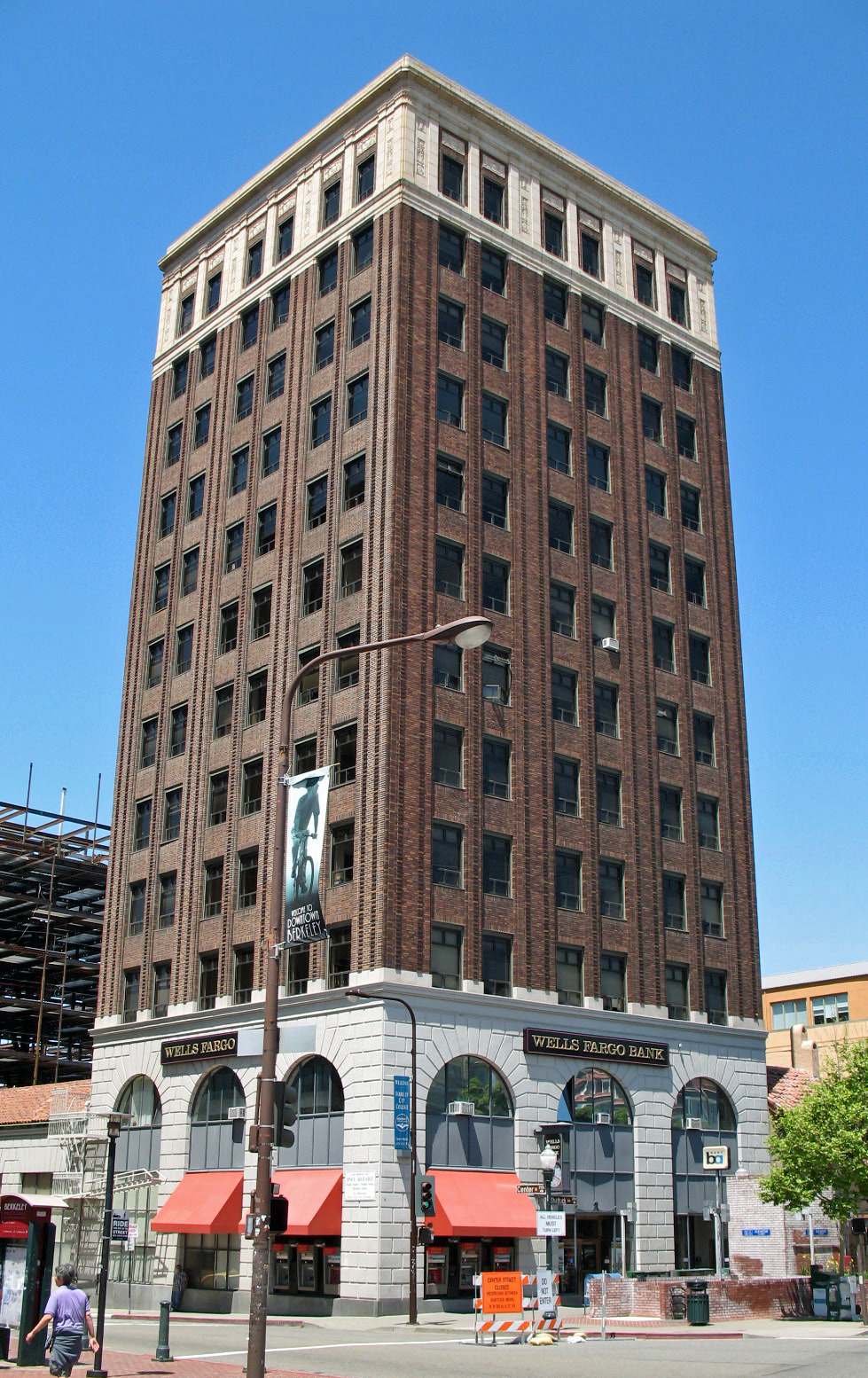
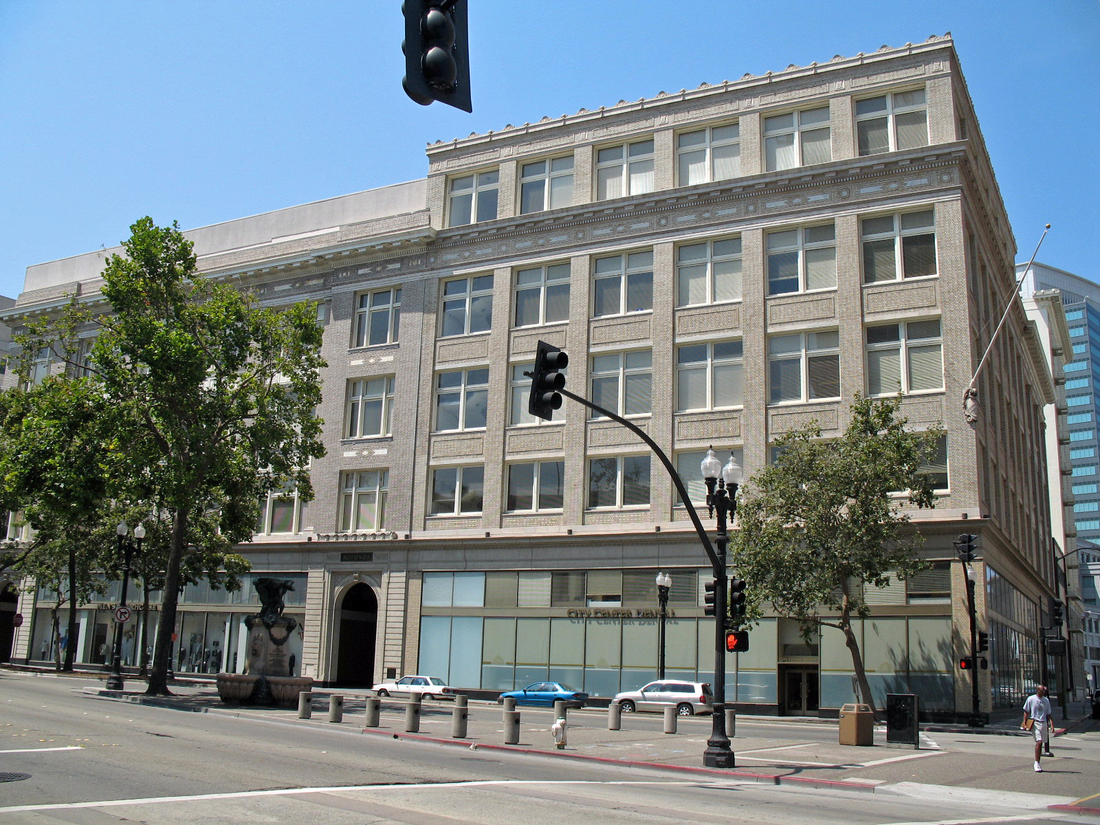
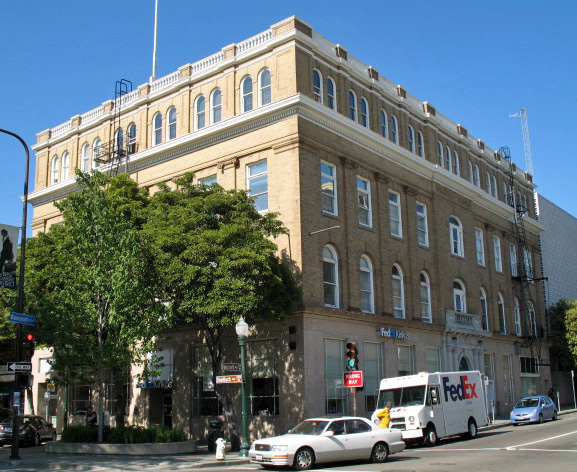
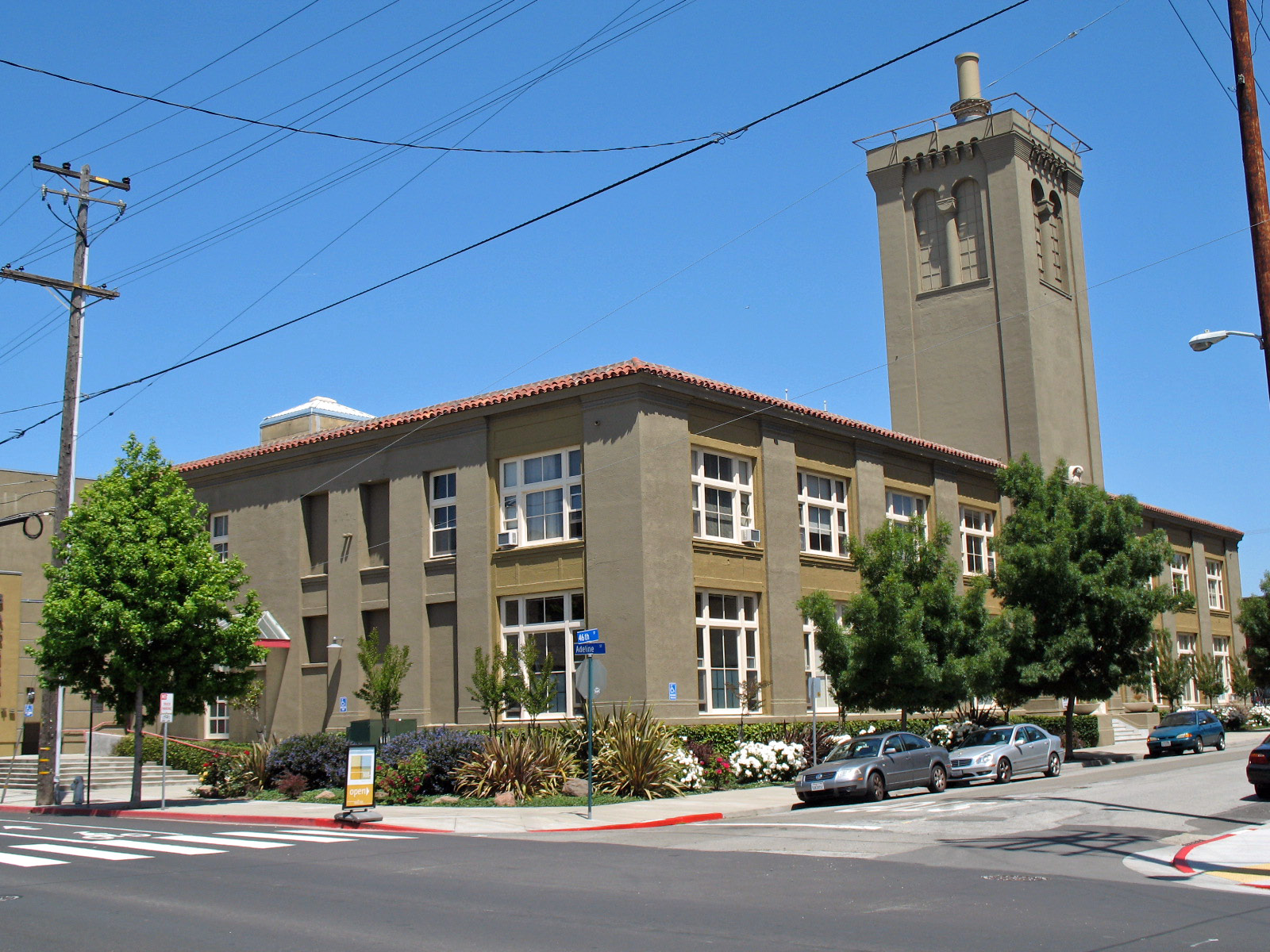
[3] Landmark name [4] Image Date listed Location City or town Summary 1 10th Street Market 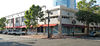
August 3, 2001 901-921 Washington St.
37°48′05″N 122°16′29″W / 37.801414°N 122.274586°WOakland 2 The Abbey-Joaquin Miller House 
October 15, 1966 Joaquin Miller Rd. and Sanborn Dr.
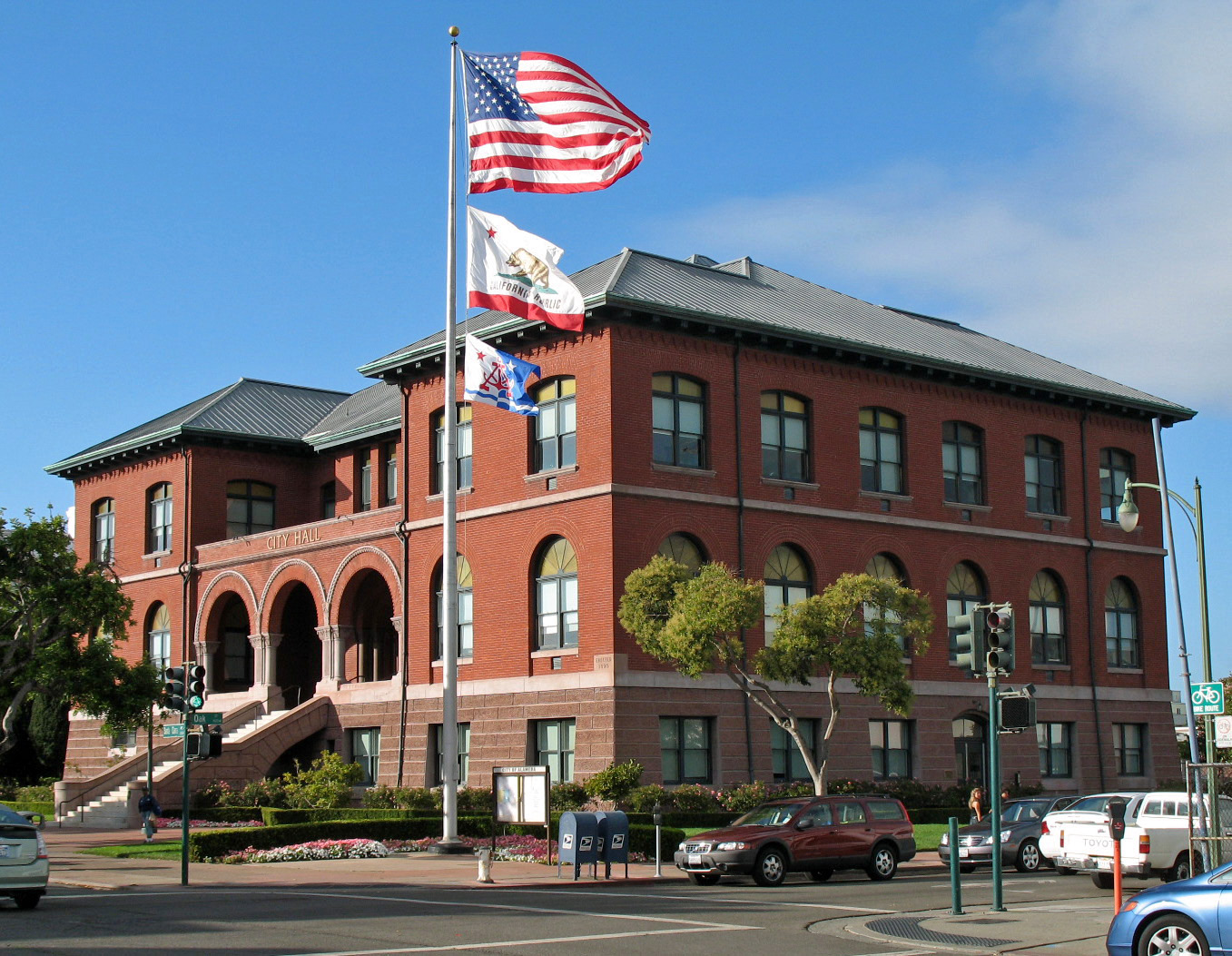
37°48′38″N 122°11′35″W / 37.810669°N 122.193039°WOakland 1889 home of author and poet Joaquin Miller[5][6] 3 Alameda City Hall 
October 14, 1980 Santa Clara Ave. and Oak St.
37°45′59″N 122°14′37″W / 37.766389°N 122.243539°WAlameda 4 Alameda Free Library 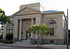
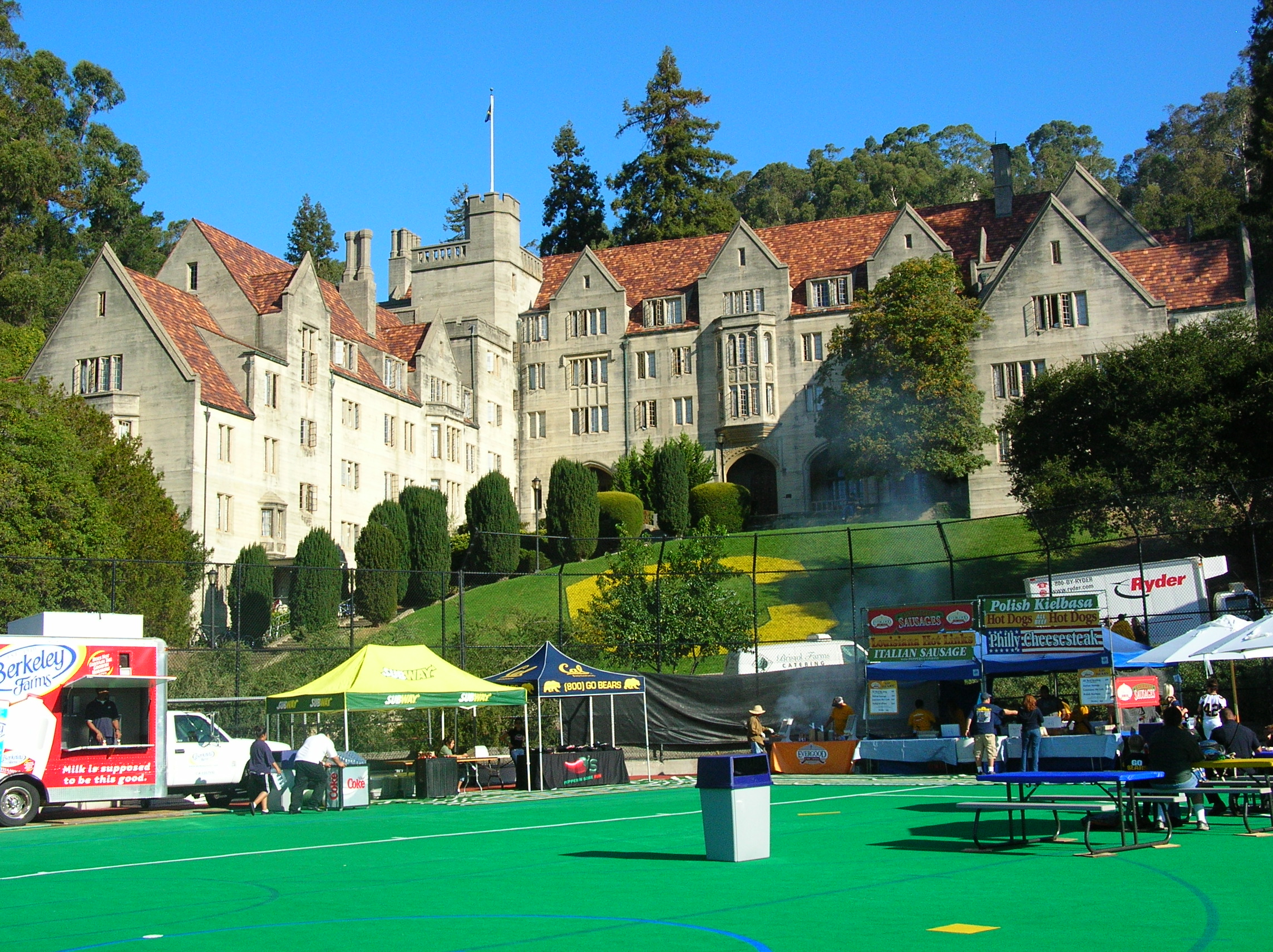
June 25, 1982 2264 Santa Clara Ave.
37°45′57″N 122°14′37″W / 37.765922°N 122.243639°WAlameda 5 Alameda High School 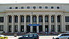
May 12, 1977 2200 Central Ave.
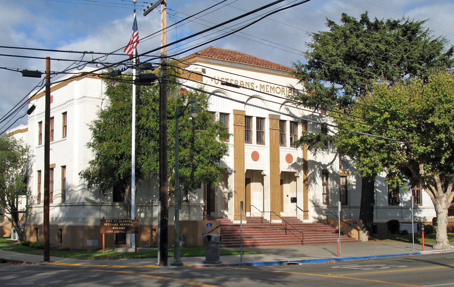
37°45′55″N 122°14′45″W / 37.765144°N 122.245814°WAlameda 6 Alameda Veterans' Memorial Building 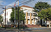
September 27, 2007 2203 Central Ave.
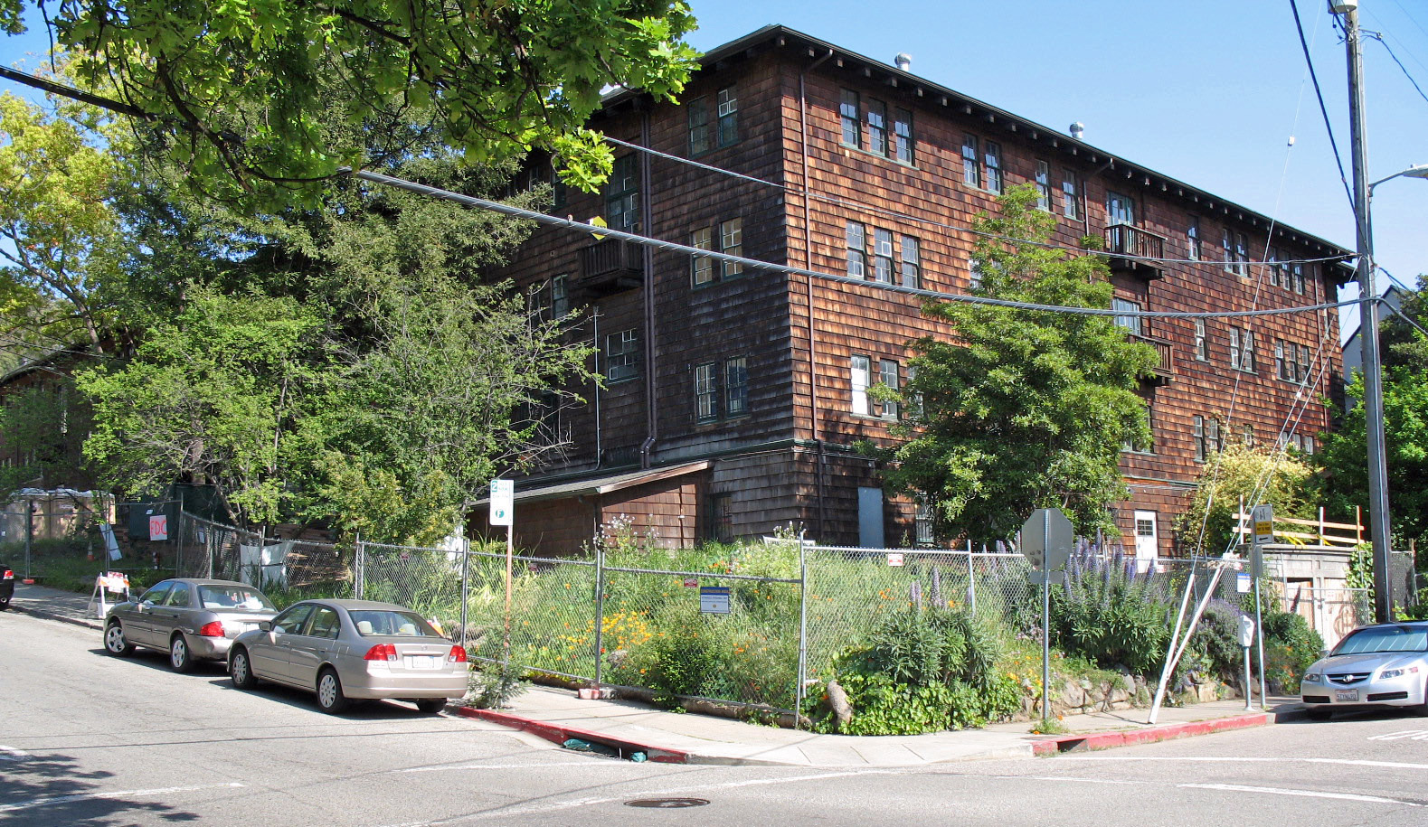
37°45′58″N 122°14′47″W / 37.766186°N 122.246475°WAlameda 7 Altenheim 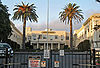
January 10, 2007 1720 MacArthur Blvd.
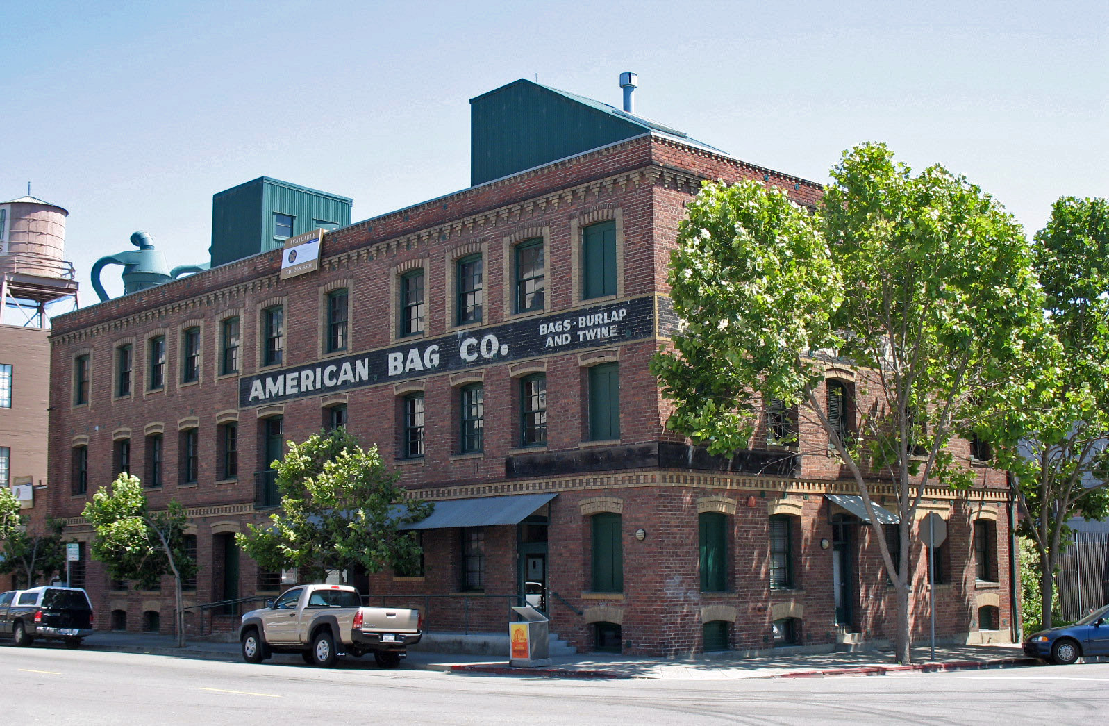
37°48′03″N 122°13′15″W / 37.800786°N 122.220839°WOakland 8 American Bag Co.-Union Hide Co. 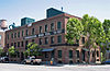
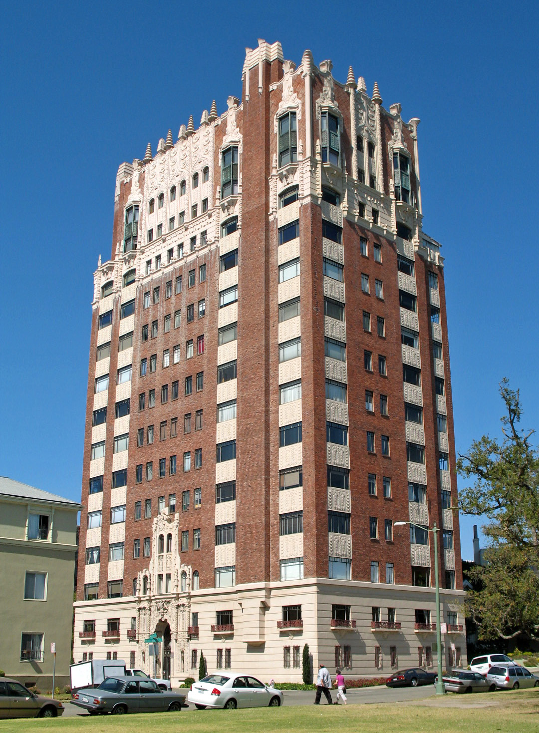
August 13, 1999 299 Third St.
37°47′42″N 122°16′20″W / 37.795036°N 122.272156°WOakland 9 Anna Head School for Girls 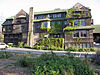
August 11, 1980 2538 Channing Way
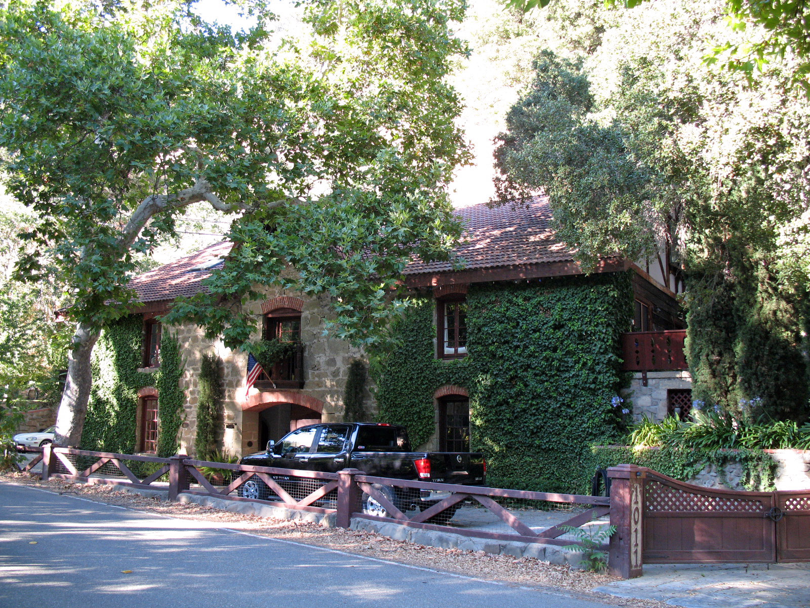
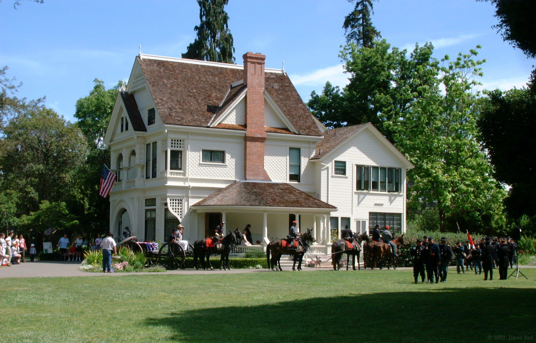
37°52′00″N 122°15′26″W / 37.866667°N 122.257336°WBerkeley 10 Thomas Foxwell Bachelder Barn 
April 15, 1994 1011 Kilkare Rd.
37°36′35″N 121°53′44″W / 37.609592°N 121.895436°WSunol 11 Bank of Italy 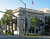
November 16, 1978 2250 1st St.
37°40′57″N 121°46′07″W / 37.682422°N 121.768475°WLivermore 12 Berkeley Day Nursery 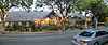
September 15, 1977 2031 6th St.
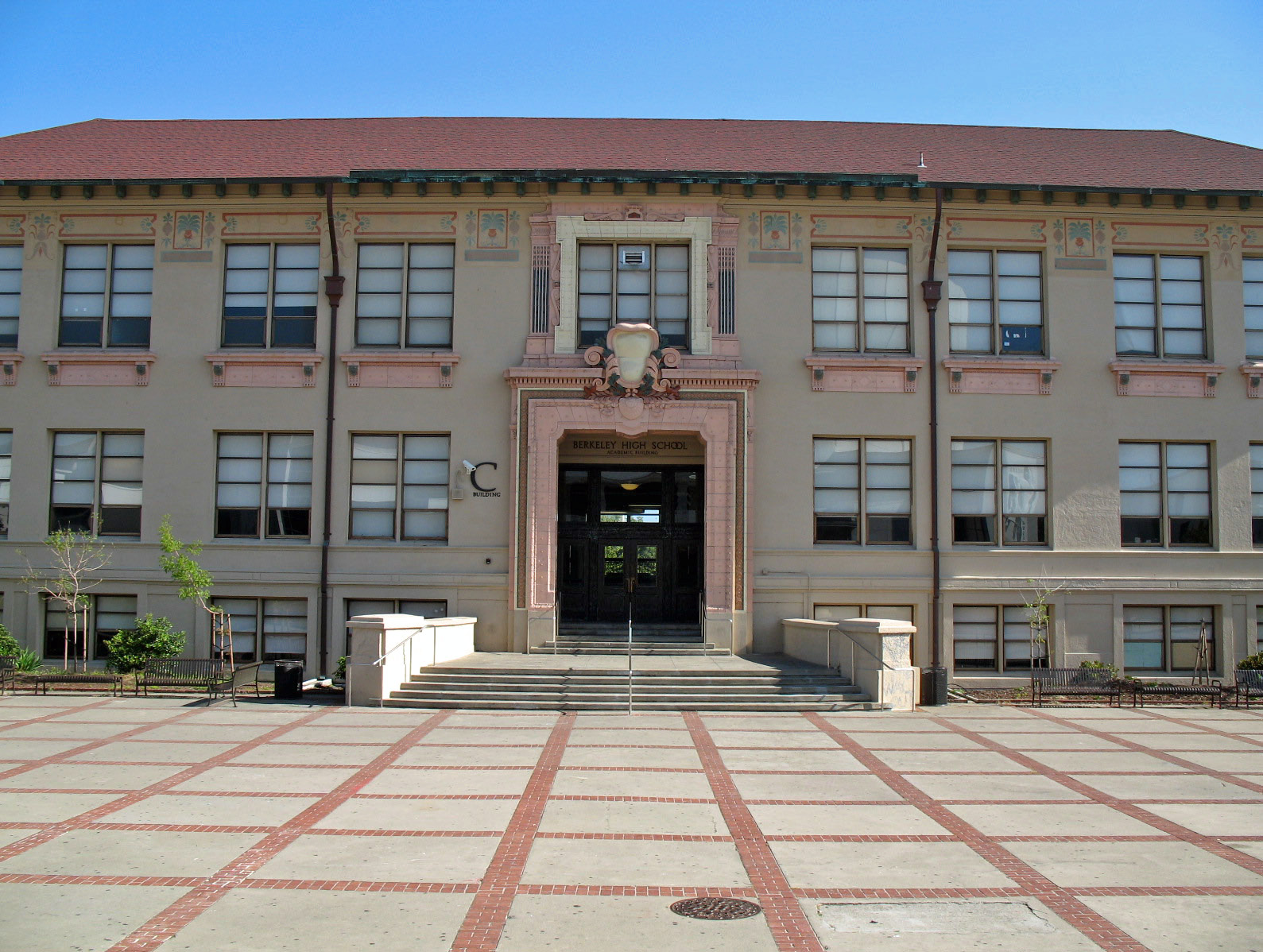
37°52′02″N 122°17′50″W / 37.867156°N 122.297125°WBerkeley 13 Berkeley High School Campus Historic District 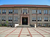
January 7, 2008 1980 Allston Wy.
37°52′08″N 122°16′16″W / 37.868989°N 122.271031°WBerkeley 14 Berkeley Hillside Club 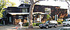
April 16, 2004 2286 Cedar St.
37°52′44″N 122°15′54″W / 37.878792°N 122.264925°WBerkeley 15 Berkeley Historic Civic Center District 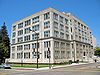
December 3, 1998 Roughly bounded by McKinney Ave., Addison St., Shattuck Ave., and Kittredge St.
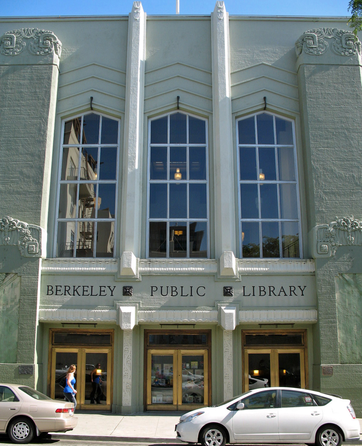
37°52′10″N 122°16′14″W / 37.869528°N 122.270531°WBerkeley 16 Berkeley Public Library 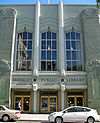
June 25, 1982 2090 Kittredge St.
37°52′05″N 122°16′07″W / 37.868164°N 122.268611°WBerkeley 17 Berkeley Women's City Club 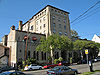
October 28, 1977 2315 Durant Ave.
37°52′03″N 122°15′46″W / 37.867506°N 122.262742°WBerkeley 18 Boone's University School 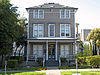
November 1, 1982 2029 Durant Ave.
37°52′01″N 122°16′08″W / 37.866817°N 122.268806°WBerkeley Now the Persian Center 19 Bowles Hall 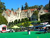
March 16, 1989 Stadium and Gayley Way
37°52′24″N 122°15′11″W / 37.873361°N 122.252919°WBerkeley 20 California Hall 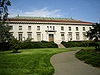
March 25, 1982 Oxford St.
37°52′19″N 122°15′37″W / 37.871886°N 122.260375°WBerkeley 21 California Hotel 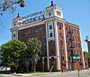
June 30, 1988 3443-3501 San Pablo Ave.
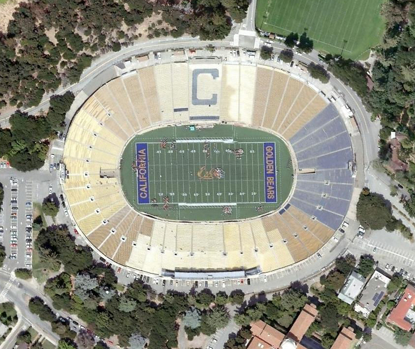
37°49′34″N 122°16′43″W / 37.826061°N 122.278536°WOakland 22 California Memorial Stadium 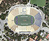
November 27, 2006 Bet. Piedmont Ave., Stadium Rim Way, Cannyon Rd., Bancroft Way and Prospect St.
37°52′16″N 122°15′03″W / 37.871003°N 122.250775°WBerkeley 23 California Nursery Co. Guest House 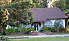
May 6, 1971 California Nursery Co., Niles Blvd. at Nursery Ave.
37°34′45″N 121°59′30″W / 37.579219°N 121.991786°WFremont 24 Cameron-Stanford House 
June 13, 1972 1426 Lakeside Dr.
37°48′05″N 122°15′44″W / 37.801417°N 122.26225°WOakland 25 Casa Peralta 
January 4, 1982 384 W. Estudillo Ave.
37°43′27″N 122°09′30″W / 37.724269°N 122.158394°WSan Leandro 26 Chamber of Commerce Building 
August 29, 1985 2140-2144 Shattuck Ave. & 2071-2089 Center St.
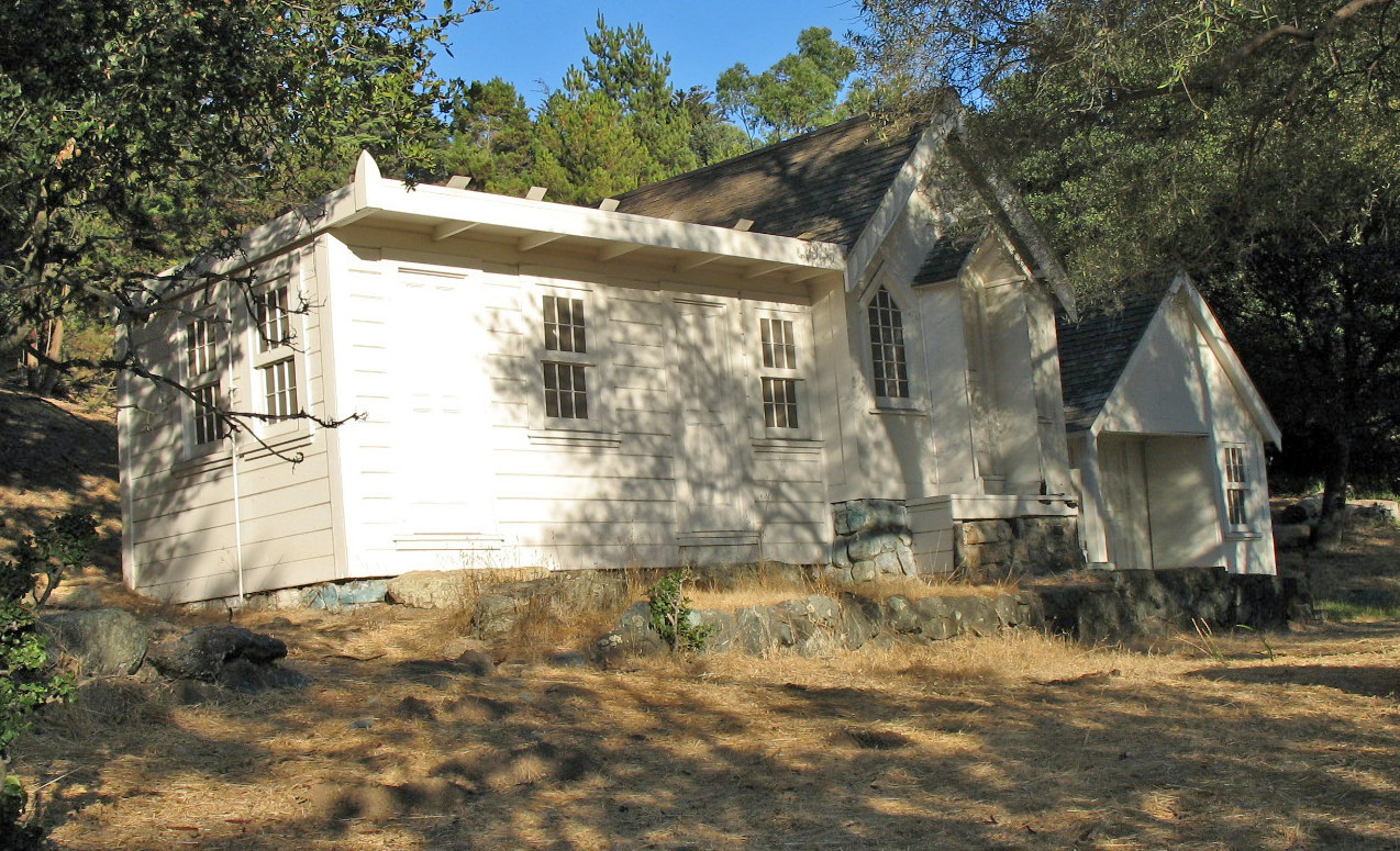
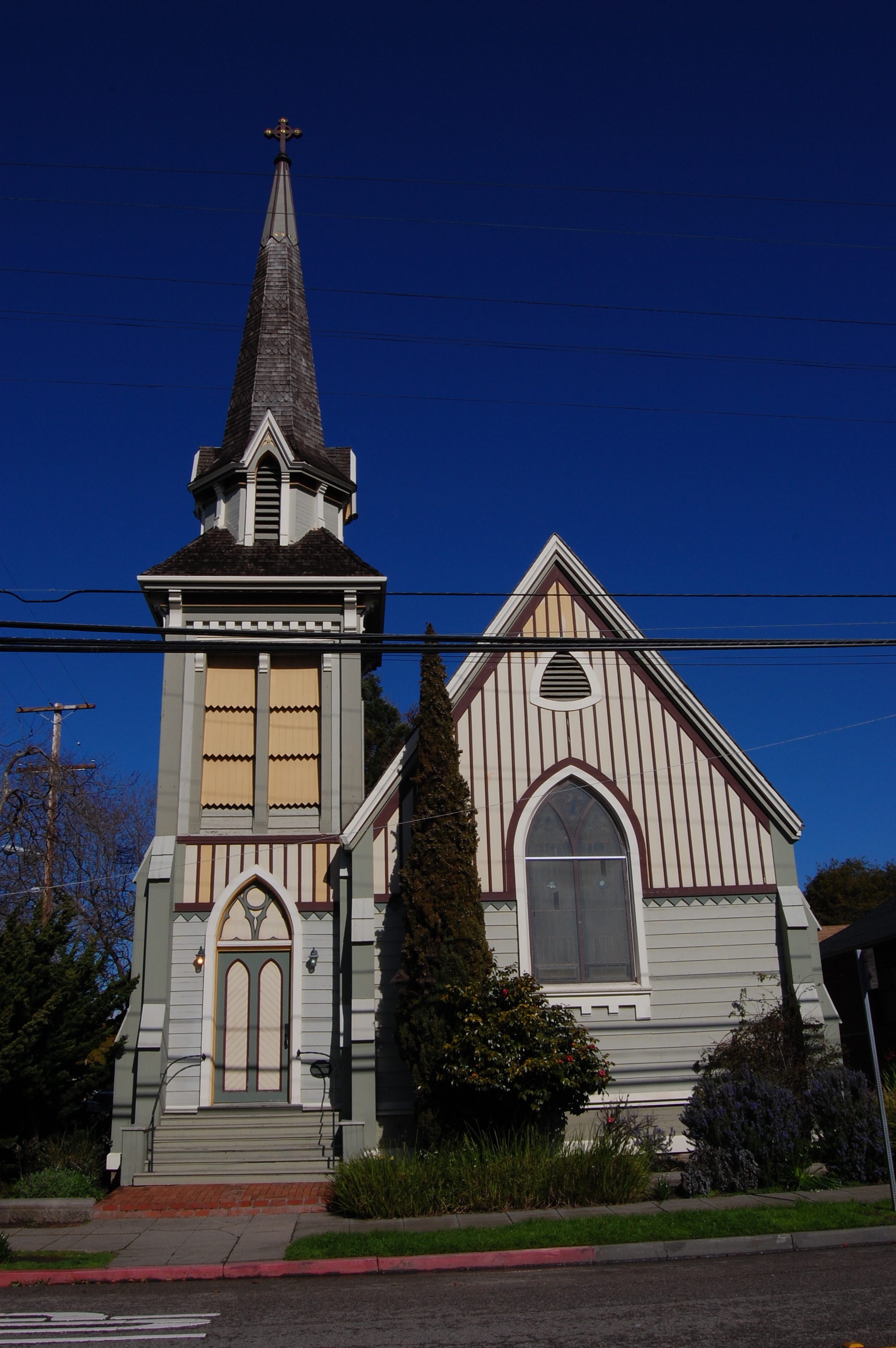
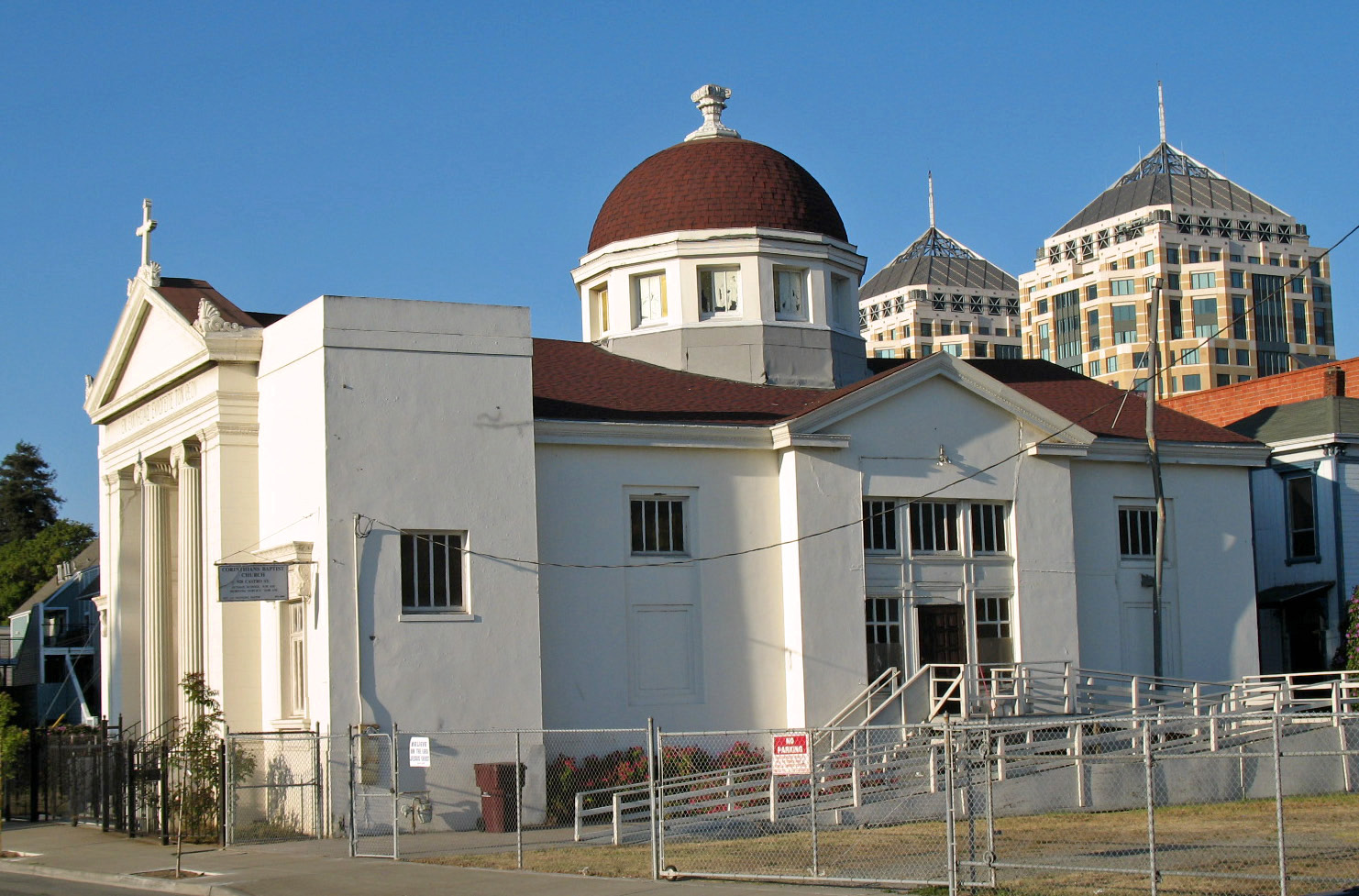
37°52′14″N 122°16′08″W / 37.870508°N 122.268872°WBerkeley 27 Church of the Good Shepherd-Episcopal 
December 1, 1986 1001 Hearst St. at Ninth St.
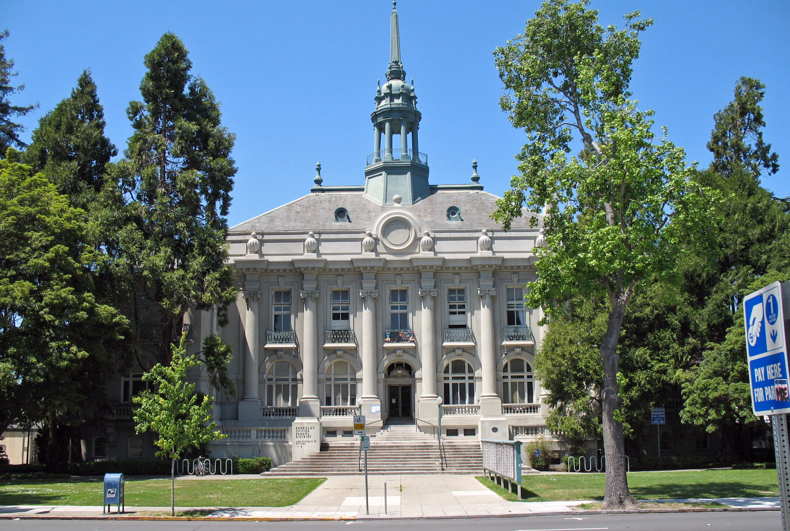
37°52′12″N 122°17′41″W / 37.870033°N 122.294819°WBerkeley 28 City Hall 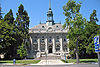
September 11, 1981 2134 Martin Luther King Jr. Way
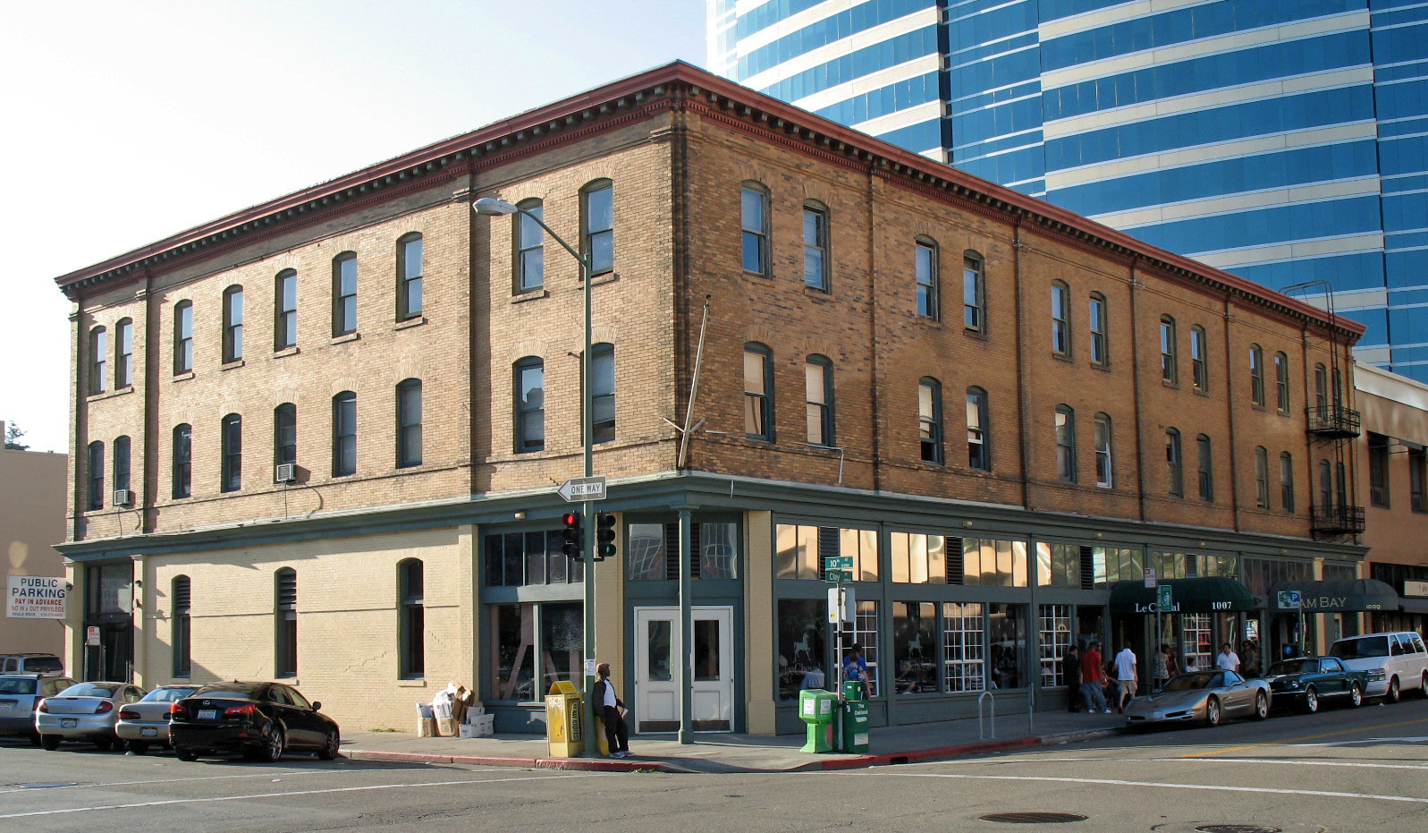
37°52′09″N 122°16′24″W / 37.869225°N 122.273267°WBerkeley 1907 building by John Bakewell, Jr. and Arthur Brown, Jr.;[7] renamed the Maudelle Shirek Building, March 2007[8] 29 Clay Building 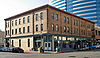
November 20, 1978 1001-1007 Clay St.
37°48′10″N 122°16′31″W / 37.802775°N 122.275403°WOakland 30 Cloyne Court Hotel 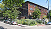
December 24, 1992 2600 Ridge Rd.
37°52′34″N 122°15′29″W / 37.876144°N 122.257947°WBerkeley 31 Alfred H. Cohen House 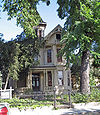
June 19, 1973 1440 29th Ave.
37°46′47″N 122°13′41″W / 37.779753°N 122.228067°WOakland 32 College Women's Club 
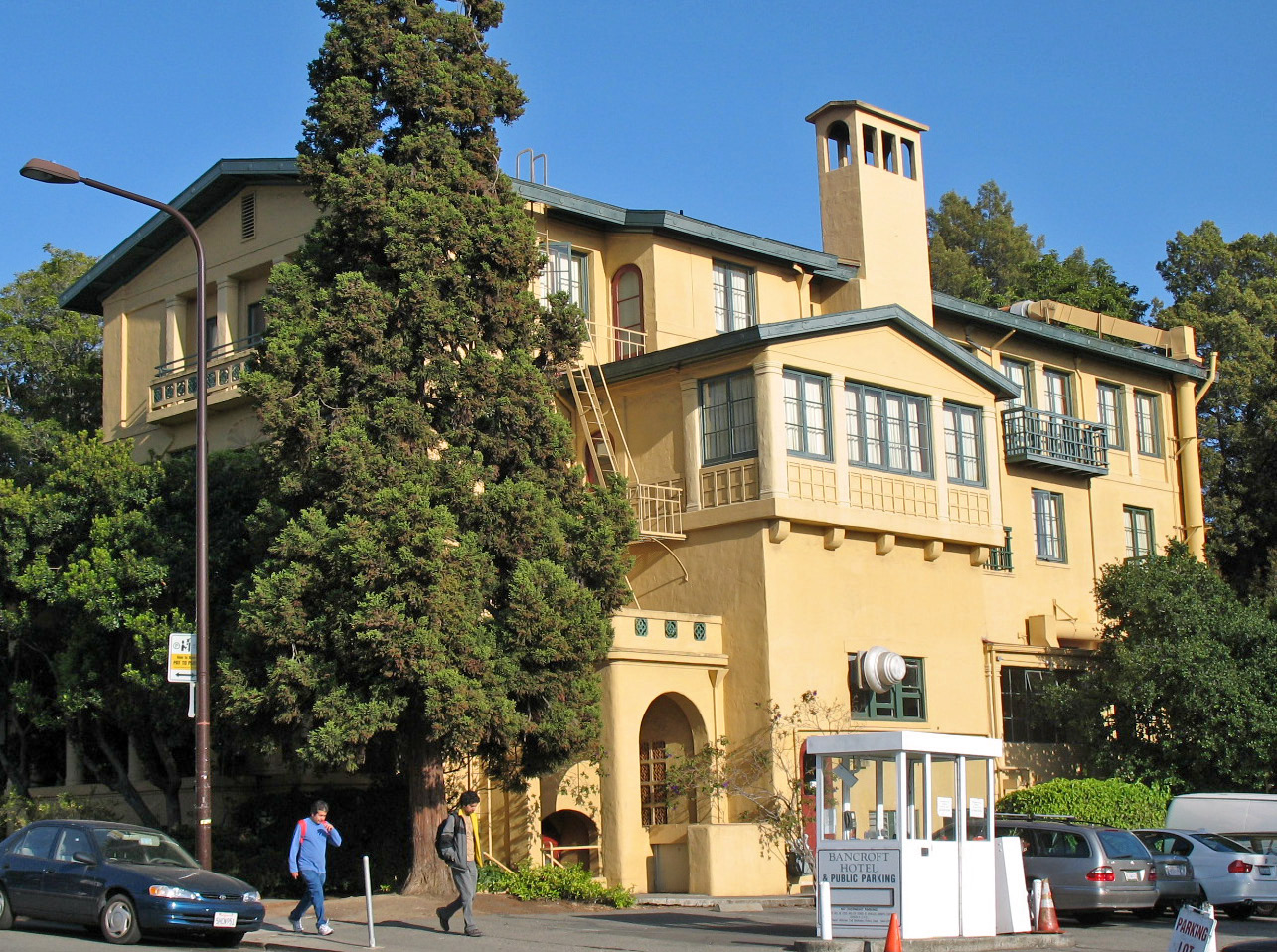
January 21, 1982 2680 Bancroft Way
37°52′08″N 122°15′18″W / 37.868989°N 122.254958°WBerkeley 1928 building by Walter T. Steilberg; now known as the Bancroft Hotel[7] 33 Corder Building 
January 11, 1982 2300-2350 Shattuck Ave.
37°52′02″N 122°16′05″W / 37.867092°N 122.268047°WBerkeley 34 Cowell Memorial Hospital January 6, 1993 2215 College Ave.
37°52′18″N 122°15′11″W / 37.871667°N 122.253056°WBerkeley 1930 building by Arthur Brown, Jr.; demolished 1993[9] 35 Croll Building 
October 4, 1982 1400 Webster St.
37°46′18″N 122°16′36″W / 37.771644°N 122.276597°WAlameda 36 Doe Memorial Library 
March 25, 1982 Oxford St.
37°52′20″N 122°15′34″W / 37.872108°N 122.2594°WBerkeley 37 Downtown Oakland Historic District July 1, 1998 Roughly along Broadway from 17th to 11th St.
37°48′17″N 122°16′11″W / 37.804722°N 122.269722°WOakland 38 Drawing Building November 18, 1976 Hearst Ave., University of California campus
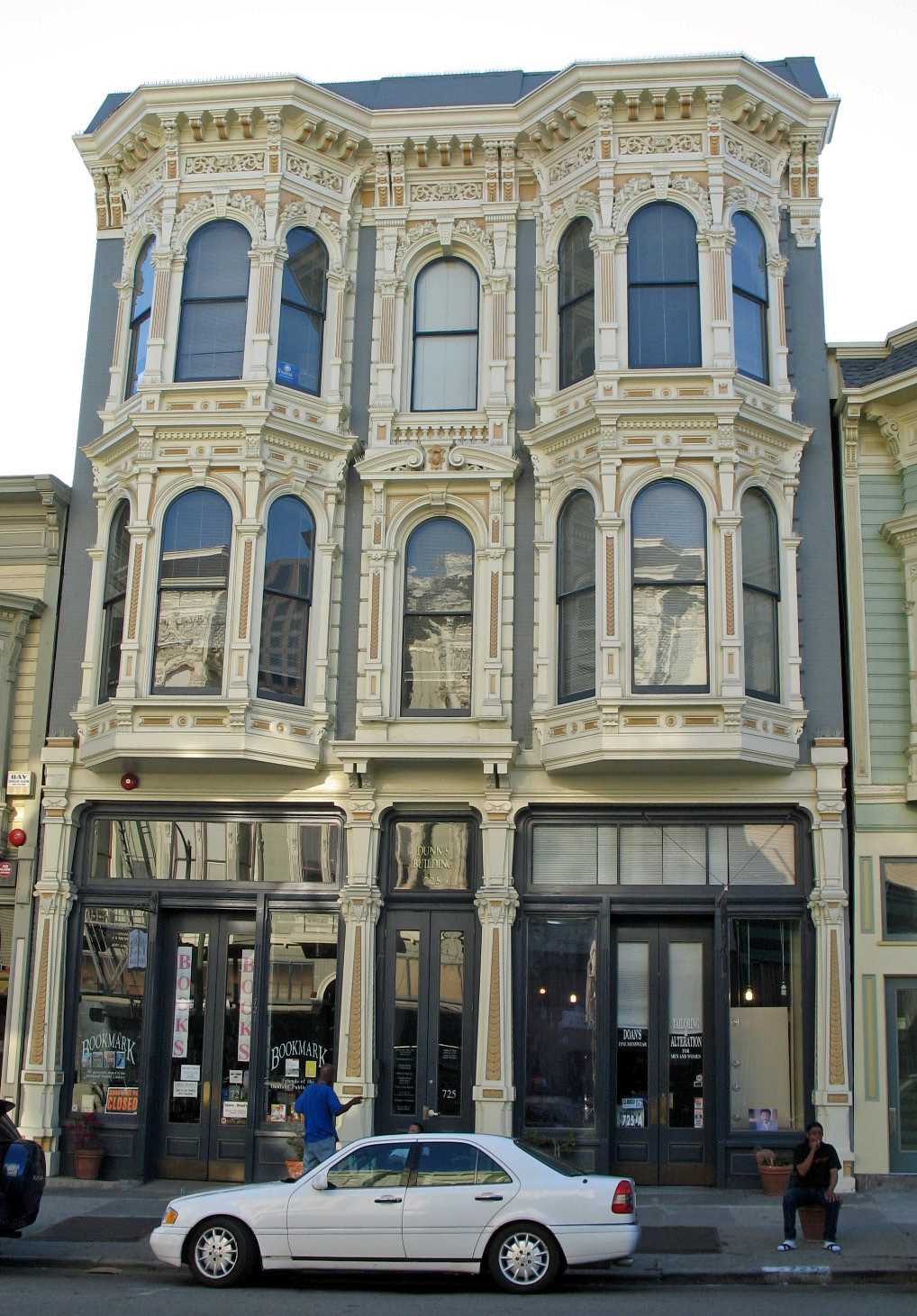
37°52′30″N 122°15′27″W / 37.875086°N 122.257556°WBerkeley 1914 building by John Galen Howard; now known as the Naval Architecture Building[10] 39 Dunns Block 
November 15, 1978 725 Washington St.
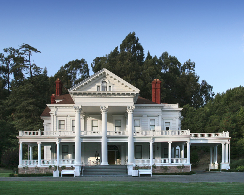
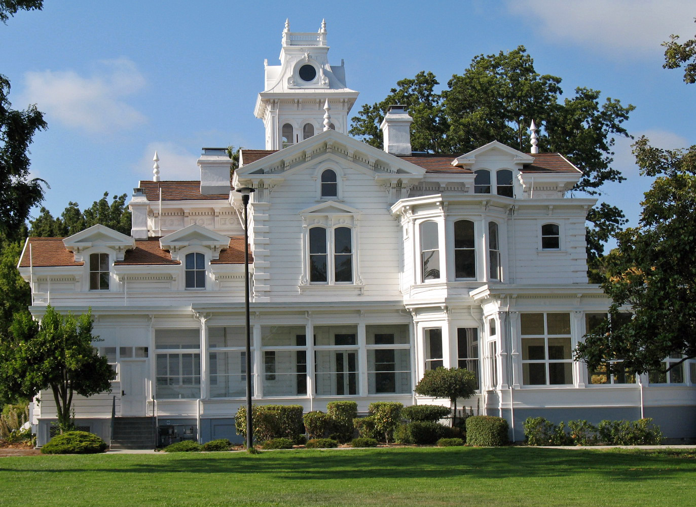
37°48′02″N 122°16′32″W / 37.800511°N 122.275442°WOakland 40 Dunsmuir House 
May 19, 1972 Peralta Oaks Ct.
37°44′35″N 122°08′47″W / 37.743056°N 122.146389°WOakland 41 Durant Hall 
March 25, 1982 Oxford St.
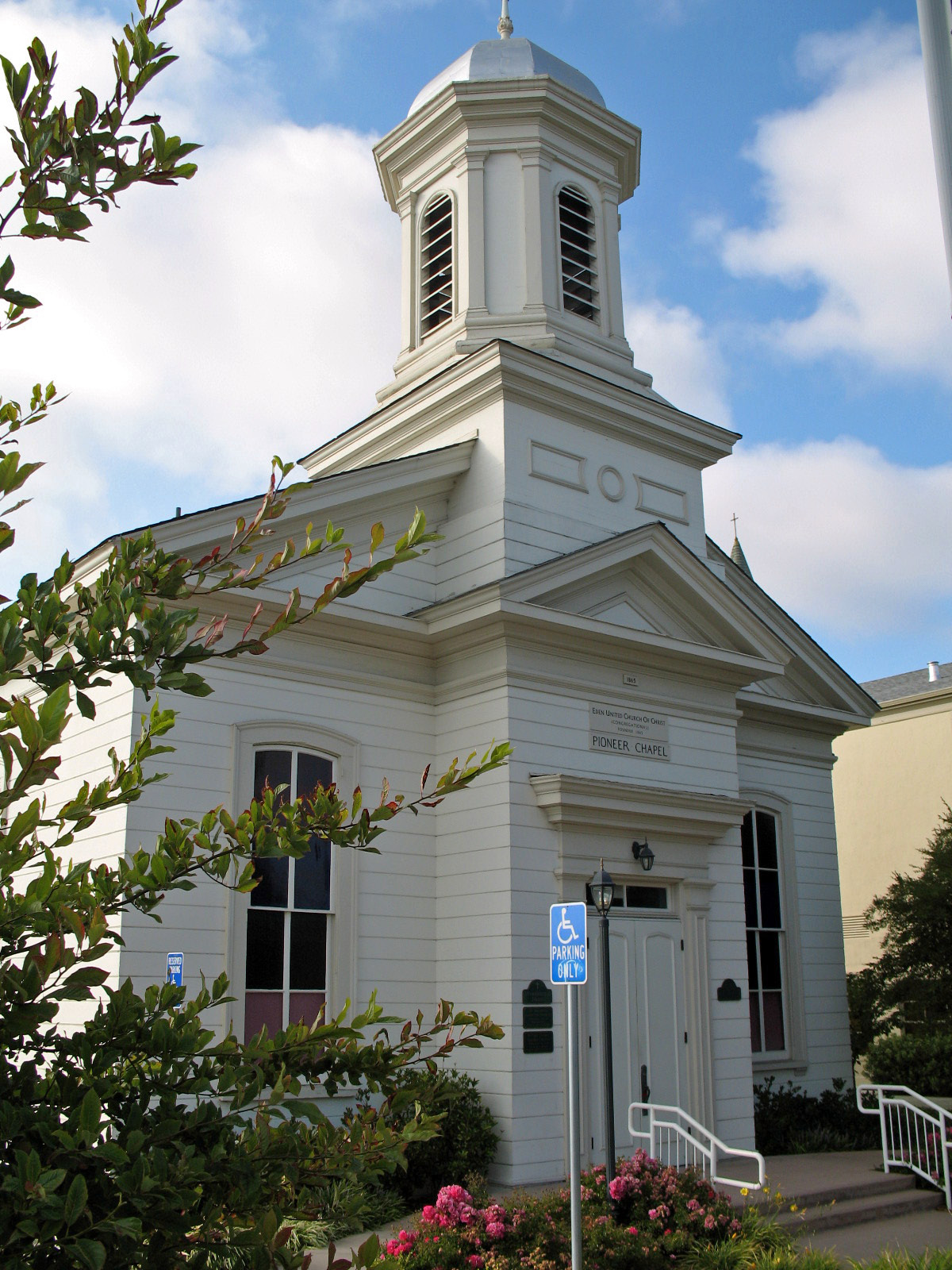
37°52′17″N 122°15′36″W / 37.871258°N 122.260128°WBerkeley 1911 building by John Galen Howard; formerly Boalt Hall of Law[10] 42 Eden Congregational Church 
August 3, 2007 1046 Grove Way
37°40′51″N 122°05′37″W / 37.680969°N 122.093611°WHayward 43 George C. Edwards Stadium 
April 1, 1993 Jct. of Bancroft Way and Fulton St., UC Berkeley campus
37°52′08″N 122°15′53″W / 37.869°N 122.264828°WBerkeley 44 Elliston 
June 19, 1985 463 and 341 Kilkare Rd.
37°36′05″N 121°53′25″W / 37.601261°N 121.890269°WSunol 45 Faculty Club 
March 25, 1982 Oxford St.
37°52′18″N 122°15′21″W / 37.871783°N 122.255903°WBerkeley 1902 building by Bernard Maybeck[11] 46 Federal Realty Building 
January 2, 1979 1615 Broadway
37°48′23″N 122°16′13″W / 37.806294°N 122.270214°WOakland 47 First Church of Christ, Scientist 
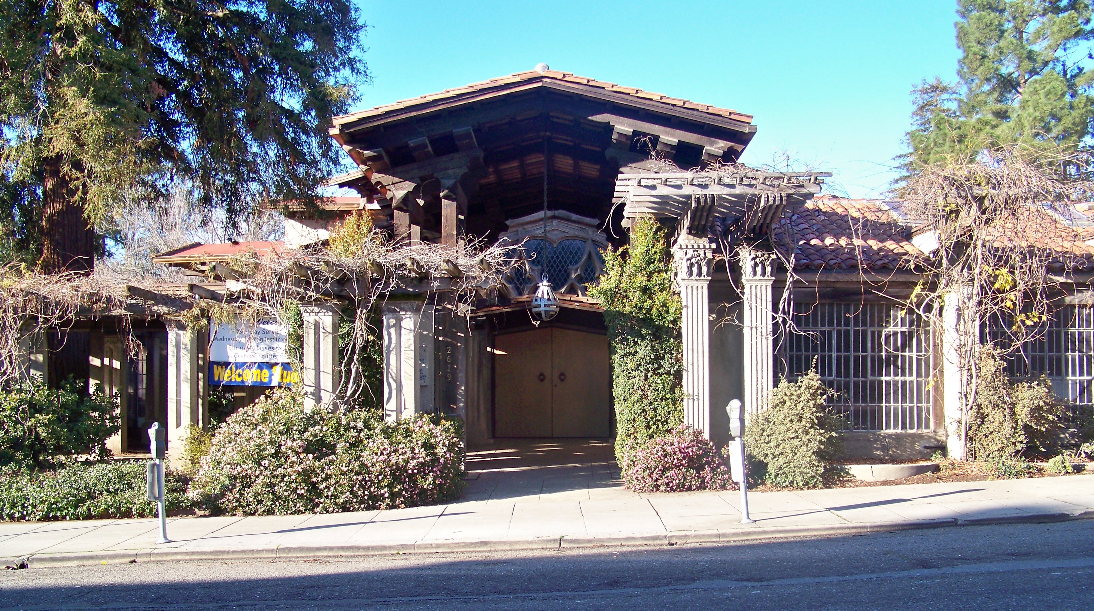
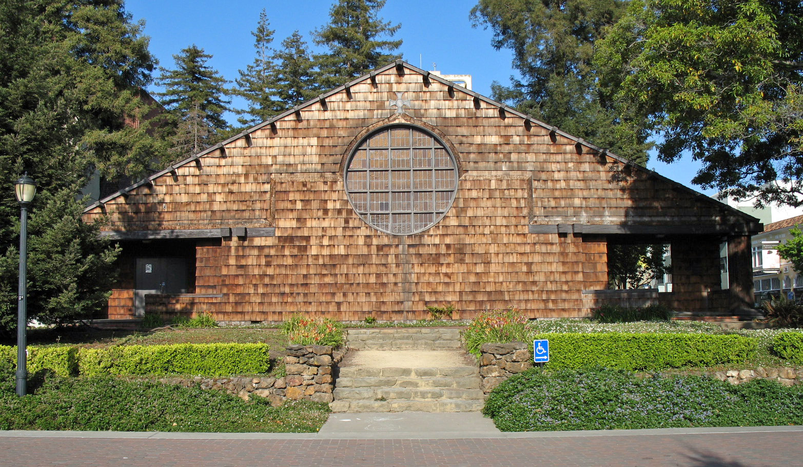
December 22, 1977 2619 Dwight Way
37°51′56″N 122°15′21″W / 37.865683°N 122.255939°WBerkeley 1910 building by Bernard Maybeck[12] 48 First Presbyterian Church Sanctuary Building 
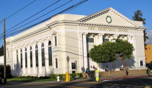
November 25, 1980 2001 Santa Clara Ave.
37°46′11″N 122°15′06″W / 37.769756°N 122.251572°WAlameda 49 First Unitarian Church 
December 10, 1981 2401 Bancroft Way
37°52′07″N 122°15′40″W / 37.868642°N 122.261169°WBerkeley 1898 building by A. C. Schweinfurth; now home to the University of California, Berkeley's Dramatic Arts Department[13] 50 First Unitarian Church of Oakland 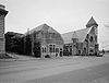
June 16, 1977 685 14th St.
37°48′25″N 122°16′31″W / 37.806944°N 122.275278°WOakland 51 Founders' Rock 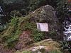
March 25, 1982 Oxford St.
37°52′31″N 122°15′25″W / 37.875319°N 122.256897°WBerkeley Site of dedication of the College of California, April 16, 1860[14] 52 Fox Court 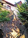
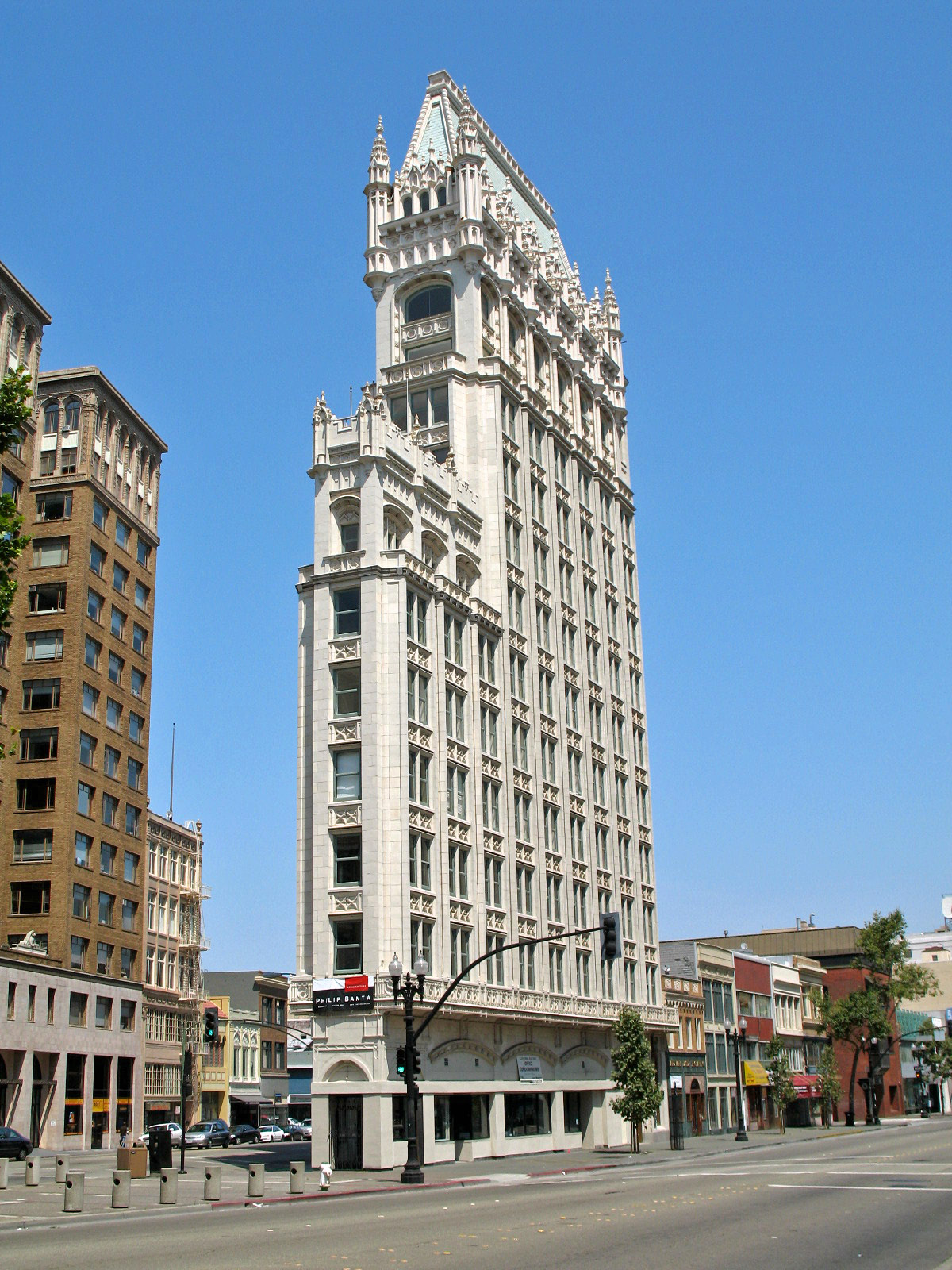
February 4, 1982 1472-1478 University Ave.
37°52′12″N 122°16′57″W / 37.869978°N 122.282628°WBerkeley 1930 Tudor Revival building by Carl Fox[15] 53 Fox Oakland Theatre 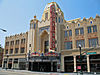
February 2, 1979 1807-1829 Telegraph Ave.
37°48′32″N 122°16′09″W / 37.808889°N 122.269167°WOakland 54 Garfield Intermediate School 
June 14, 1982 1414 Walnut St.
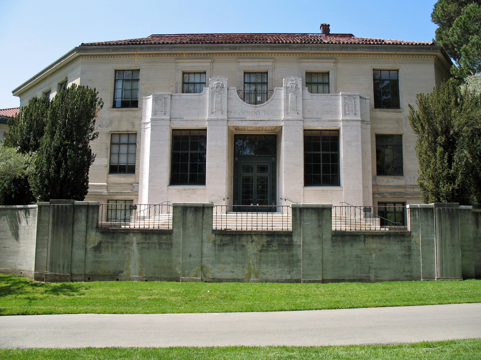
37°52′54″N 122°16′07″W / 37.881592°N 122.268733°WBerkeley 1915 building by Ernest Coxhead; also known as Garfield Junior High School; now the Jewish Community Center[7] 55 Giannini Hall 
March 25, 1982 Oxford St.
37°52′25″N 122°15′44″W / 37.873544°N 122.262361°WBerkeley 1930 building by William C. Hays named for Bank of America founder Amadeo Giannini; built to house the Giannini Foundation of Agricultural Economics[10] 56 Girton Hall 
September 26, 1991 Off College Ave. next to Cowell Hospital, University of California, Berkeley campus
37°52′21″N 122°15′11″W / 37.8725°N 122.253056°WBerkeley 1912 building by Julia Morgan; also known as Senior Women's Hall[10] 57 Golden Sheaf Bakery 
March 31, 1978 2069-2071 Addison St.
37°52′17″N 122°16′08″W / 37.871272°N 122.269006°WBerkeley 1905 brick and terra-cotta building by Clinton Day; once part of the Golden Sheaf Bakery, where the first bakers' union was founded in 1904[16] 58 Greek Orthodox Church of the Assumption 
May 22, 1978 9th and Castro Sts.
37°48′13″N 122°16′43″W / 37.803475°N 122.278742°WOakland 59 Green Shutter Hotel 
June 16, 2004 22650 Main St.
37°40′21″N 122°04′56″W / 37.672403°N 122.082167°WHayward 60 Hagemann Ranch Historic District 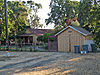
January 10, 2008 455 Olivina Ave.
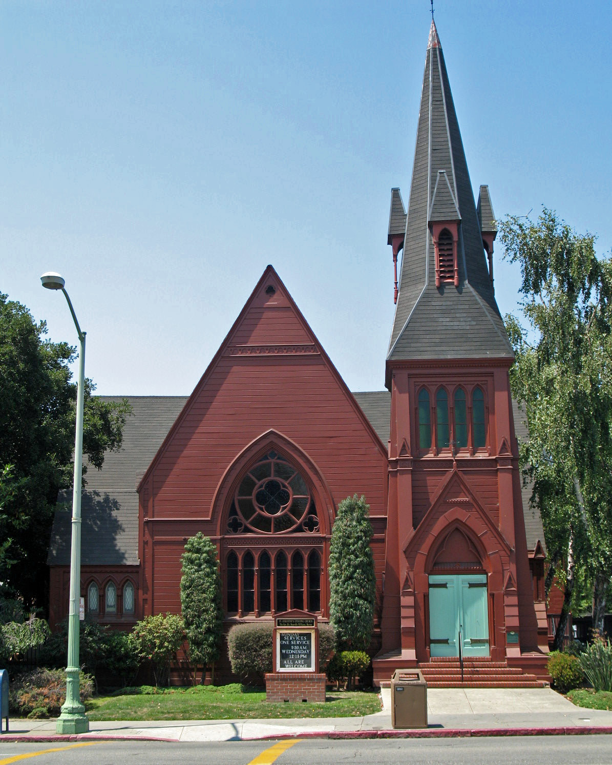
37°40′57″N 121°47′50″W / 37.682369°N 121.797353°WLivermore 61 Harrison and Fifteenth Sts. Historic District 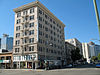
November 7, 1996 1401-1501 Harrison St., 300-312 14th St., 300-349 15th St.
37°48′14″N 122°15′59″W / 37.803889°N 122.266389°WOakland 62 Weston Havens House June 11, 2008 255 Panoramic Way
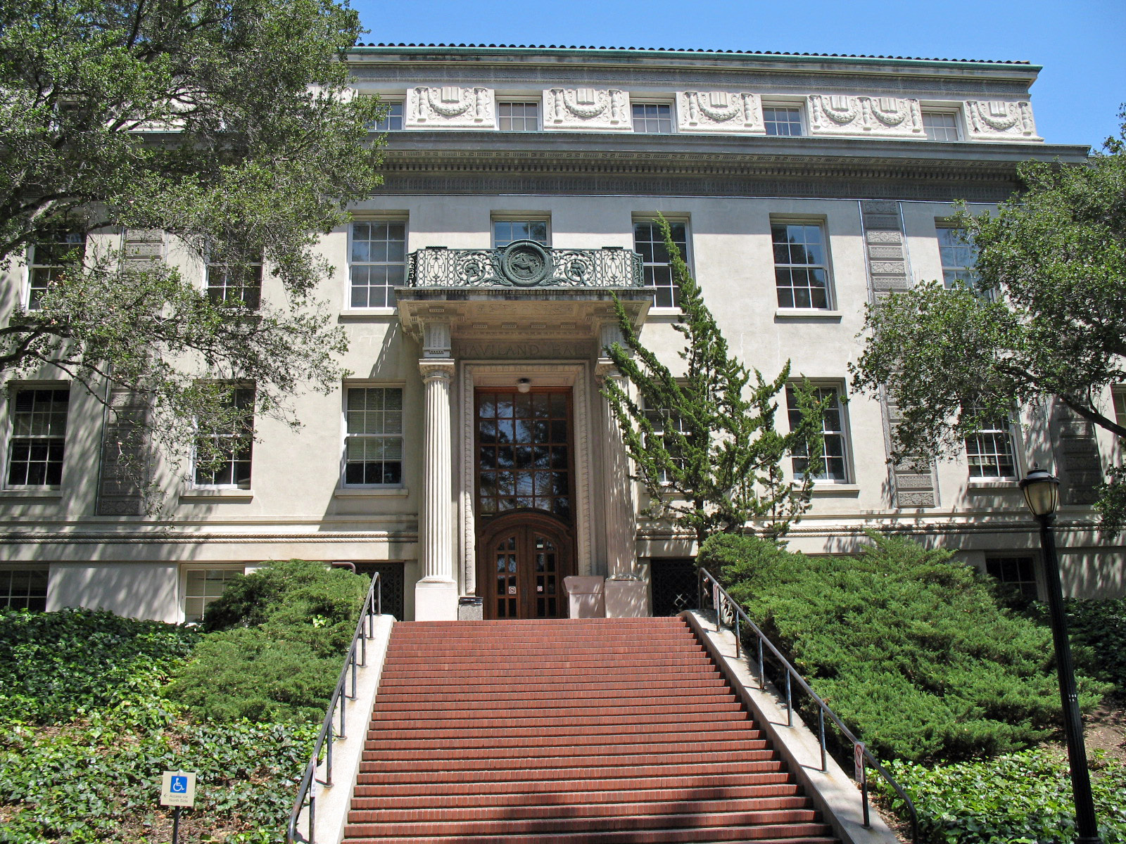
37°52′09″N 122°14′50″W / 37.869069°N 122.247347°WBerkeley 1941 house by Harwell Hamilton Harris bequeathed to the University of California by the last direct descendant of Berkeley founder, Francis Kittredge Shattuck[17] 63 Haviland Hall 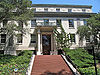
February 1, 1982 University of California Campus
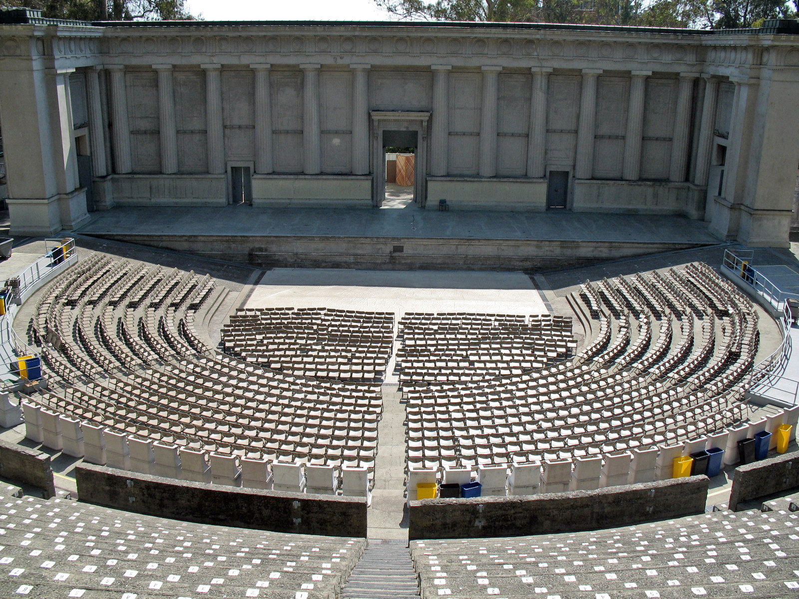
37°52′25″N 122°15′40″W / 37.873725°N 122.261075°WBerkeley 1924 building by John Galen Howard[10] 64 Hearst Greek Theatre 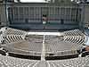
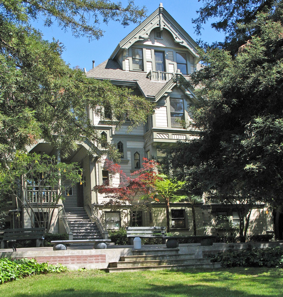
March 25, 1982 Oxford St.
37°52′25″N 122°15′15″W / 37.873697°N 122.254272°WBerkeley 1903 outdoor theater by John Galen Howard named for donor and publisher William Randolph Hearst[10] 65 Hearst Gymnasium for Women 
March 25, 1982 Oxford St.
37°52′10″N 122°15′25″W / 37.869428°N 122.256825°WBerkeley 1927 building by Bernard Maybeck and Julia Morgan named in honor of William Randolph Hearst's mother Phoebe Apperson Hearst[10] 66 Hearst Memorial Mining Building 
March 25, 1982 Oxford St.
37°52′27″N 122°15′26″W / 37.874189°N 122.257167°WBerkeley 1902-1907 building by John Galen Howard, named for Senator George Hearst[10] 67 Heathcote-MacKenzie House 
October 29, 1991 4501 Pleasanton Ave.
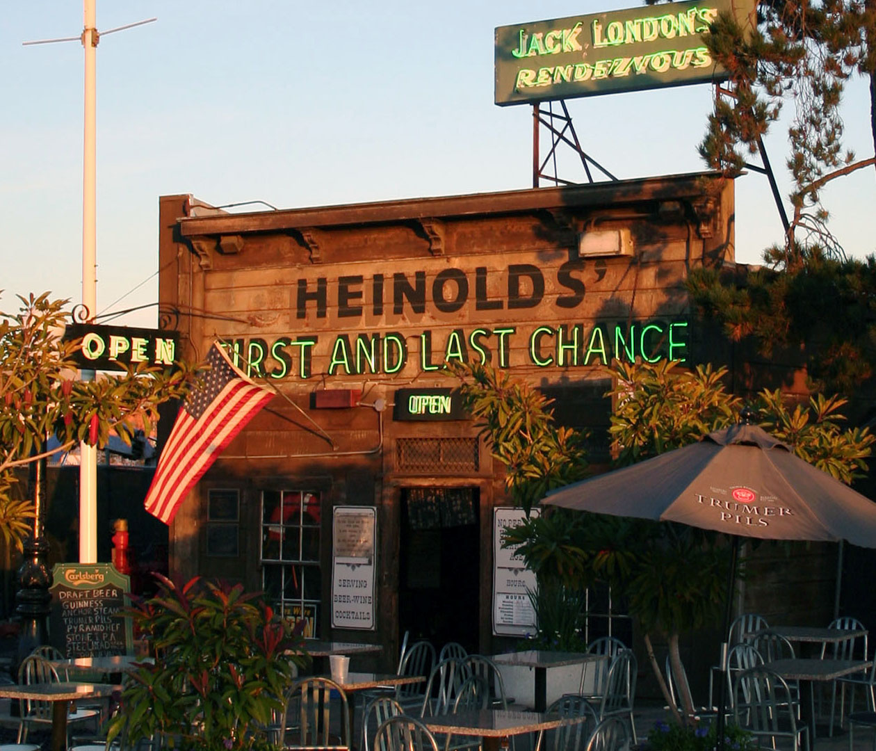
37°39′37″N 121°53′06″W / 37.660158°N 121.884928°WPleasanton 68 Heinold's First and Last Chance Saloon 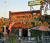
September 1, 2000 56 Jack London Square
37°47′38″N 122°16′23″W / 37.793889°N 122.273056°WOakland 69 Hilgard Hall 
March 25, 1982 Oxford St.
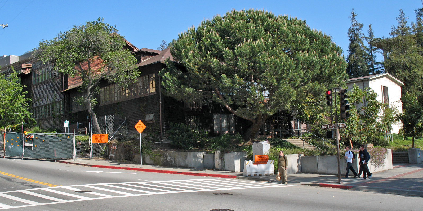
37°52′24″N 122°15′48″W / 37.873308°N 122.263433°WBerkeley 1917 building by John Galen Howard; named for Eugene W. Hilgard, renowned pedologist and first dean of the University of California College of Agriculture[10] 70 Hillside School 
October 29, 1982 1581 Leroy Ave.
37°52′50″N 122°15′32″W / 37.880686°N 122.25875°WBerkeley 1925 school by Walter H. Ratcliff, Jr.[7] 71 Kahn's Department Store 
March 30, 1989 1501-39 Broadway
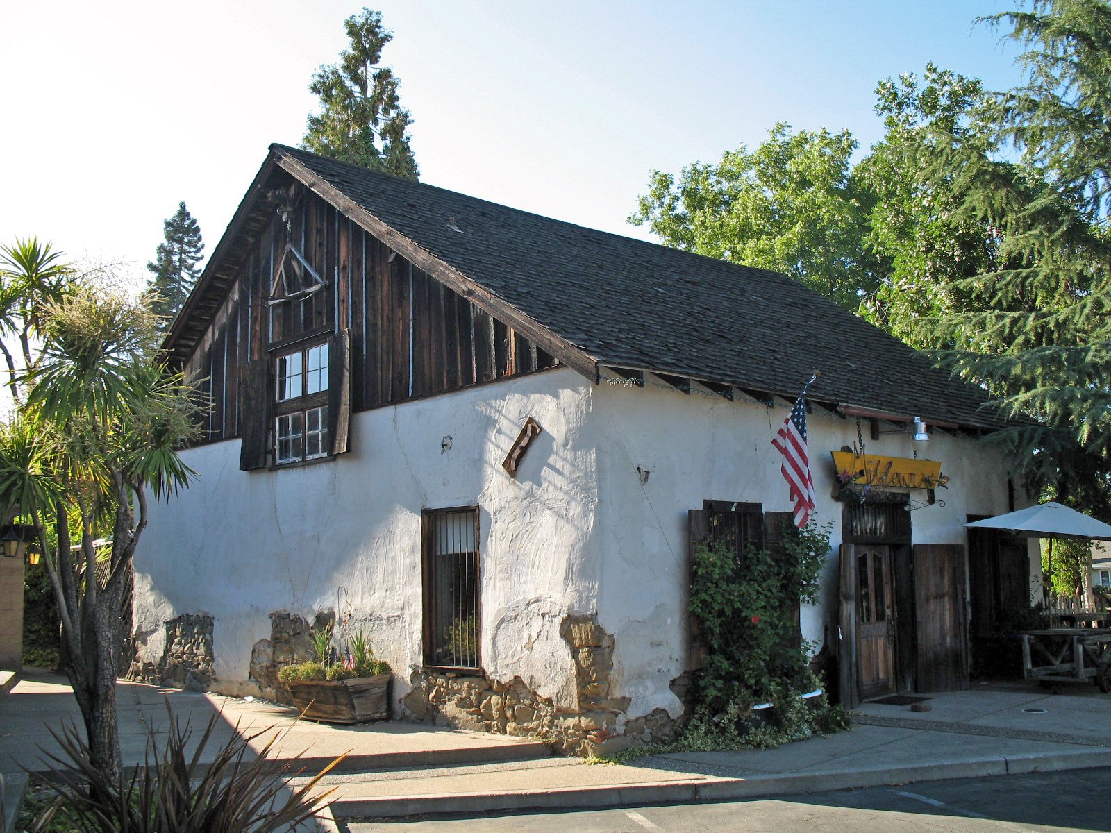
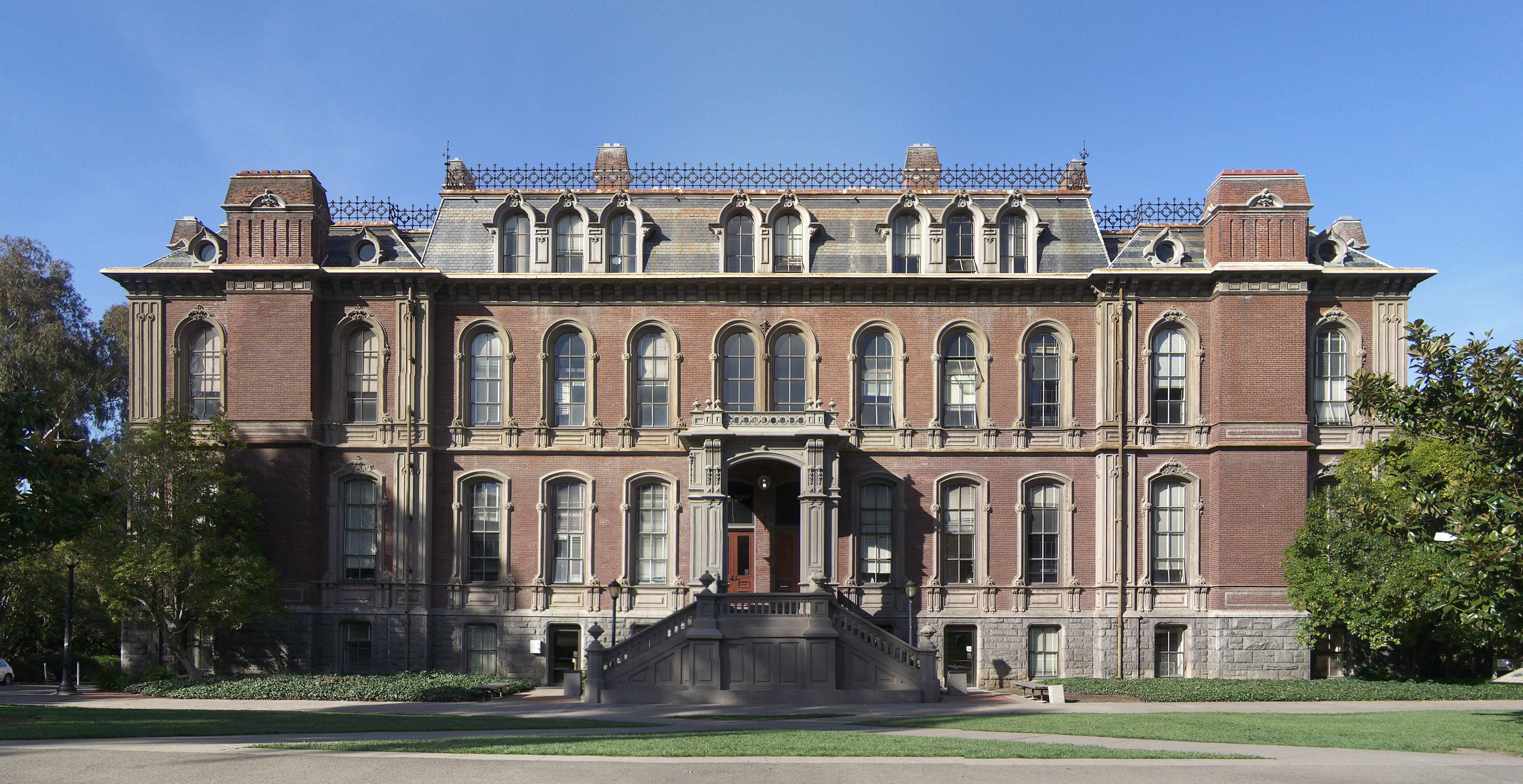
37°48′21″N 122°16′15″W / 37.805725°N 122.270797°WOakland 72 John W. Kottinger Adobe Barn 
September 12, 1985 200 Ray St.
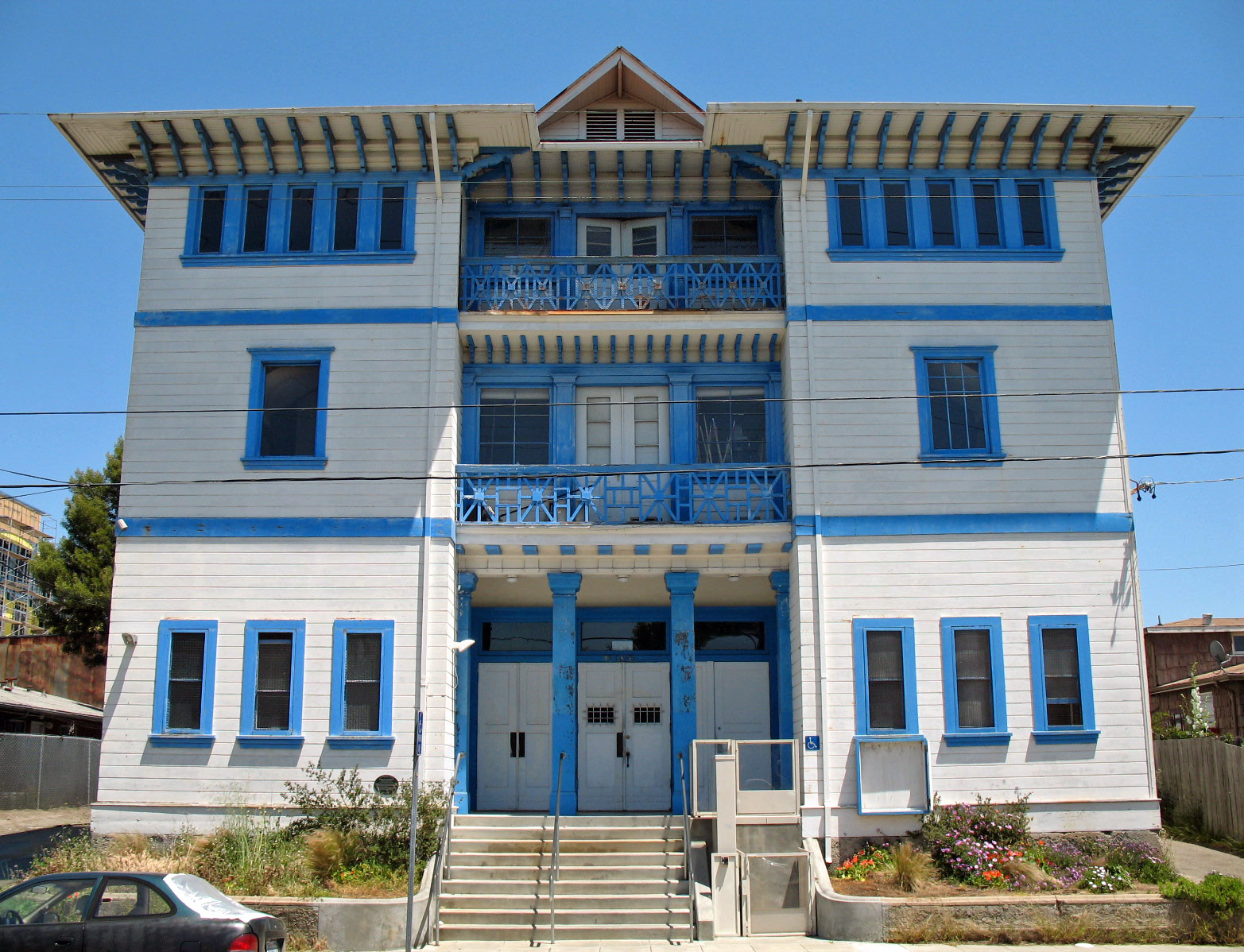
37°39′47″N 121°52′21″W / 37.663192°N 121.872483°WPleasanton 73 Ladies' Relief Society Children's Home 
July 13, 2006 365 45th St.
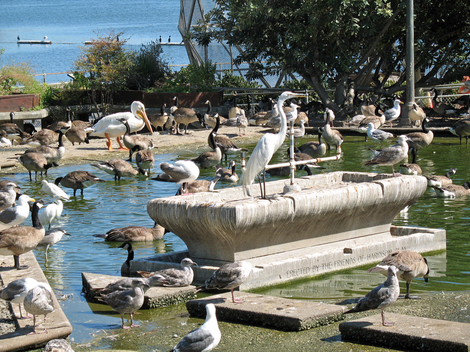
37°49′58″N 122°15′26″W / 37.832739°N 122.257111°WOakland 74 Lake Merritt Wild Duck Refuge 
October 15, 1966 Lakeside Park, Grand Ave.
37°48′23″N 122°15′18″W / 37.806478°N 122.255003°WOakland Established March 18, 1870; first official wildlife refuge in the United States[18] 75 LeConte Hall 
June 25, 2004 Hearst and Gayley
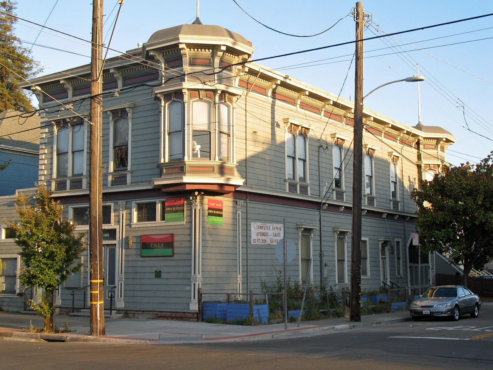
37°52′21″N 122°15′25″W / 37.872522°N 122.256814°WBerkeley 76 Liberty Hall 
March 30, 1989 1483-1485 8th St.
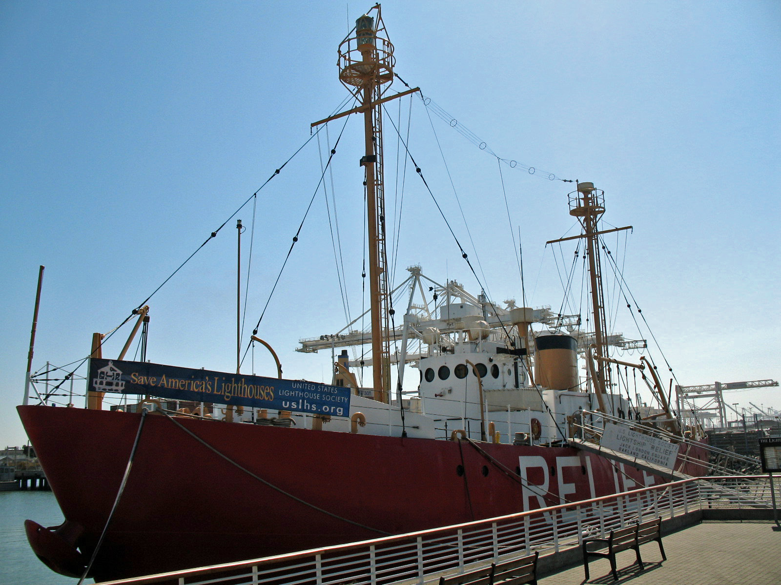
37°48′23″N 122°17′44″W / 37.806439°N 122.295533°WOakland Built in 1877;[19] meeting hall of the Oakland chapter of the Universal Negro Improvement Association[20] 77 Lightship WAL-605, RELIEF 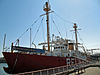
December 20, 1989 Oakland Estuary in Brooklyn Basin
37°47′44″N 122°16′50″W / 37.795686°N 122.280561°WOakland 78 Locke House 
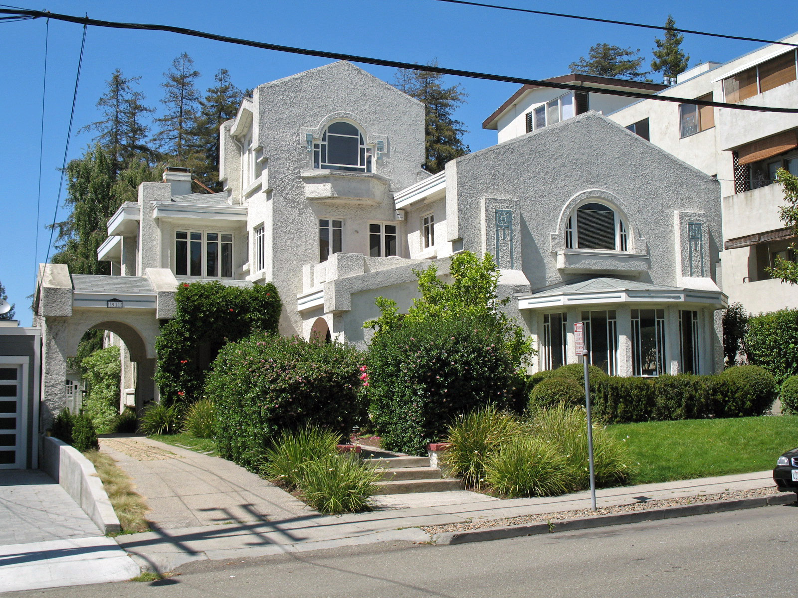
April 7, 1989 3911 Harrison St.
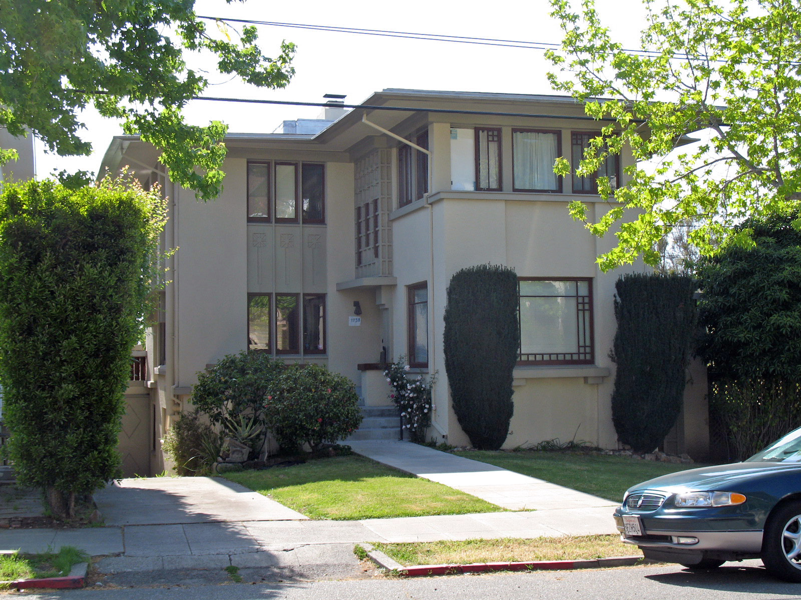
37°49′19″N 122°15′01″W / 37.821928°N 122.250306°WOakland 79 Loring House 
July 13, 1989 1730 Spruce St.
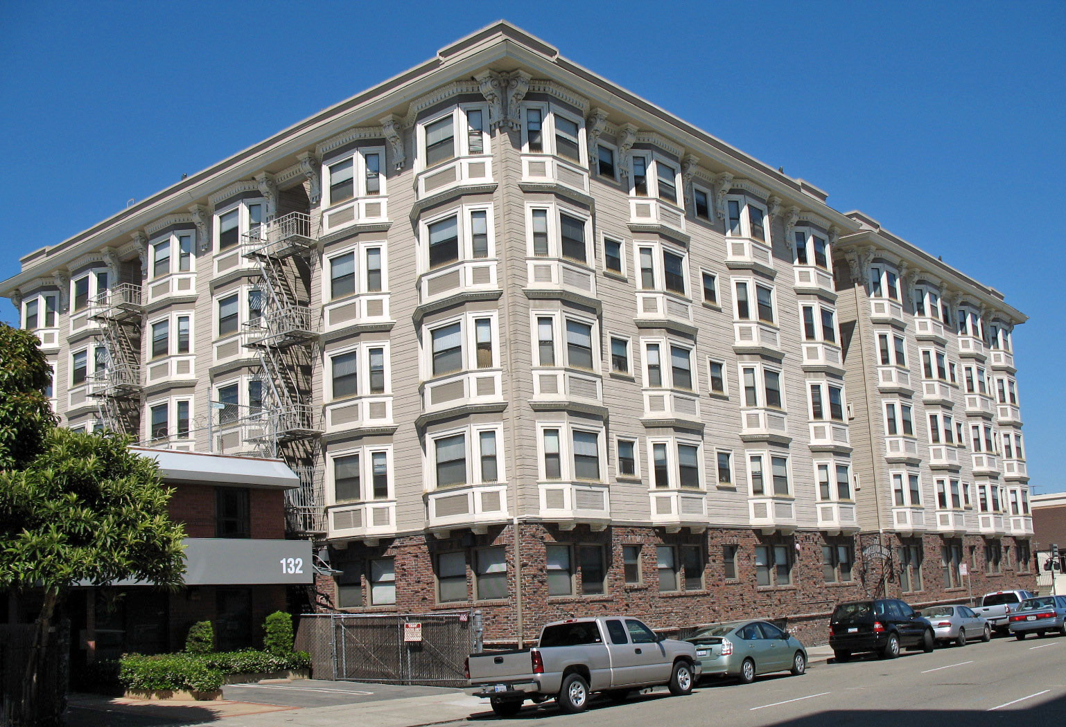
37°52′35″N 122°15′56″W / 37.876467°N 122.265611°WBerkeley 80 Madison Park Apartments 
April 1, 1982 100 9th St.
37°47′53″N 122°15′55″W / 37.797975°N 122.265253°WOakland 81 Main Post Office and Federal Building 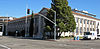
October 23, 1980 201 13th St.
37°48′05″N 122°15′59″W / 37.801339°N 122.266406°WOakland 82 Masonic Temple 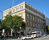
July 15, 1982 2105 Bancroft Way and 2295 Shattuck Ave.
37°52′04″N 122°16′03″W / 37.867772°N 122.267464°WBerkeley 83 Masonic Temple and Lodge 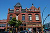
March 25, 1982 1329-31 Park St. and 2312 Alameda Ave.
37°45′48″N 122°14′38″W / 37.763361°N 122.243897°WAlameda 84 McCrea House 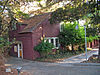
February 11, 1982 3500 Mountain Blvd.
37°48′03″N 122°11′12″W / 37.800781°N 122.186608°WOakland 85 Meek Mansion and Carriage House 
June 4, 1973 240 Hampton Rd.
37°41′04″N 122°06′48″W / 37.684453°N 122.11345°WHayward 86 Mills Hall 
October 14, 1971 Mills College campus
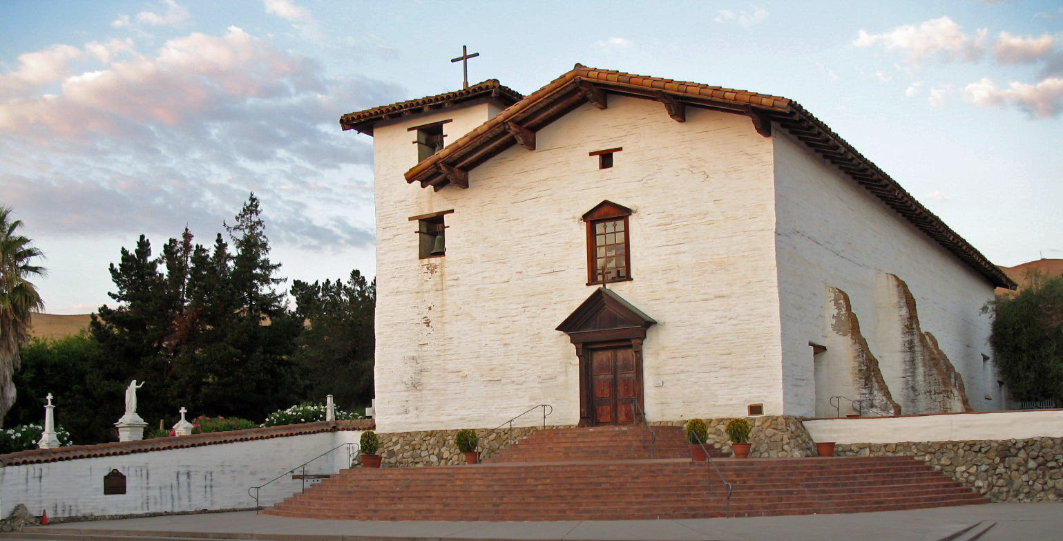
37°46′47″N 122°10′56″W / 37.779689°N 122.182086°WOakland 87 Mission San José 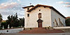
July 14, 1971 Mission Blvd. at Washington Blvd.
37°32′00″N 121°55′11″W / 37.533425°N 121.919686°WFremont 88 Montgomery Ward & Company June 15, 1999 2825 E. 14th St.
37°46′47″N 122°13′48″W / 37.779617°N 122.230061°WOakland Demolished in 2001[21] 89 D. J. Murphy House 
April 6, 1978 291 McLeod St.
37°40′54″N 121°45′58″W / 37.681594°N 121.766022°WLivermore 90 Niles Canyon Transcontinental Railroad Historic District 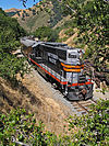
October 13, 2010 Railway corridor from Niles to Pleasanton
37°35′40″N 121°53′19″W / 37.594444°N 121.888611°WFremont, Sunol, and Pleasanton vicinity 91 North Gate Hall 
March 25, 1982 Oxford St.
37°52′30″N 122°15′35″W / 37.874919°N 122.259831°WBerkeley 92 Oakland City Hall 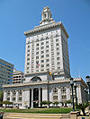
September 15, 1983 1 Frank H. Ogawa Plaza
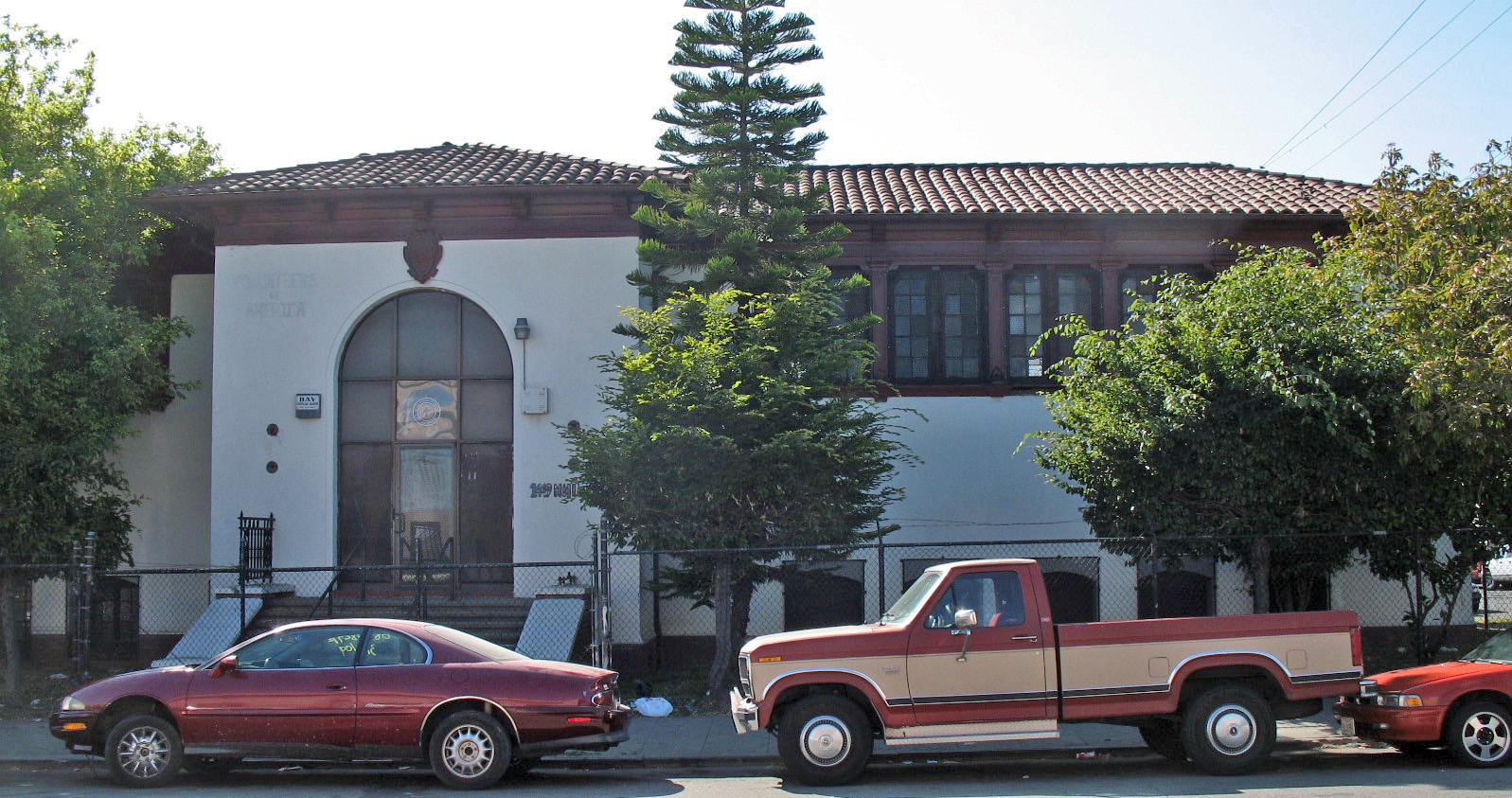
37°48′19.12″N 122°16′21.15″W / 37.8053111°N 122.2725417°WOakland 93 Oakland Free Library-23rd Avenue Branch 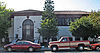
February 16, 1996 1449 Miller Ave., 2347 E. 15th St.
37°47′01″N 122°14′04″W / 37.783503°N 122.234444°WOakland 94 Oakland Free Library-Alden Branch 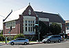
February 16, 1996 5205 Telegraph Ave., 500 52nd St.
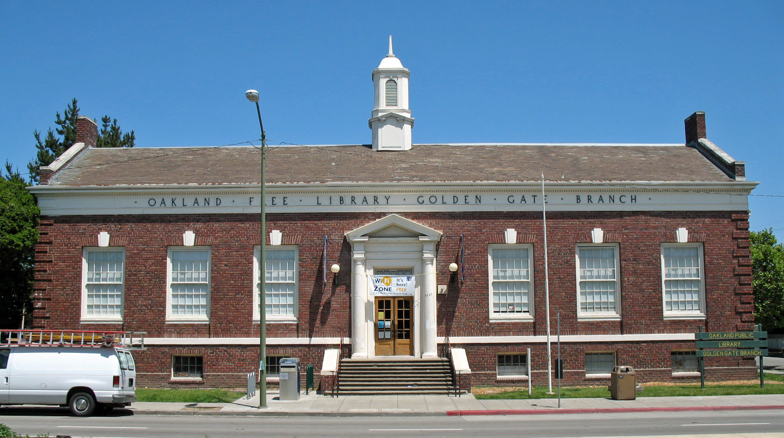
37°50′18″N 122°15′45″W / 37.838197°N 122.262494°WOakland 95 Oakland Free Library-Golden Gate Branch 
February 16, 1996 5606 San Pablo Ave., 1098 56th St.
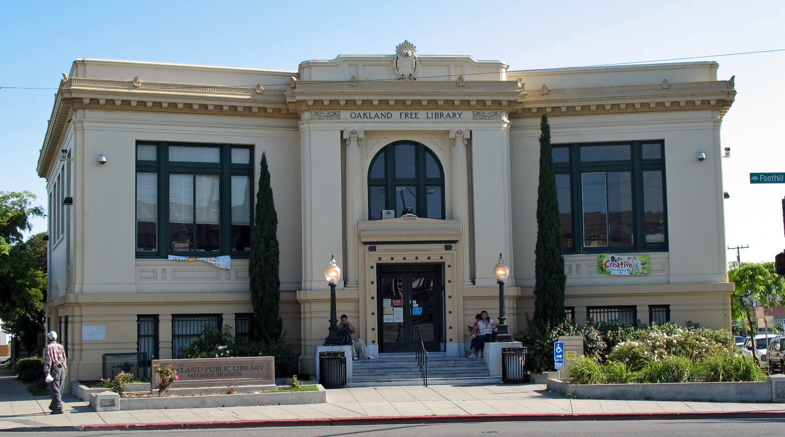
37°50′21″N 122°16′56″W / 37.839225°N 122.282219°WOakland 96 Oakland Free Library-Melrose Branch 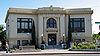
February 16, 1996 4805 Foothill Blvd., 1738 48th Ave.
37°46′21″N 122°12′27″W / 37.772511°N 122.207564°WOakland 97 Oakland Hotel 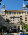
September 4, 1979 260 13th St.
37°48′09″N 122°16′02″W / 37.802378°N 122.267228°WOakland 98 Oakland Iron Works-United Works, and the Remillard Brick Company 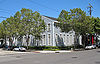
August 25, 1983 552-592 2nd St.
37°47′50″N 122°16′44″W / 37.797203°N 122.278867°WOakland 99 Oakland Public Library 
August 11, 1983 659 14th St.
37°48′22″N 122°16′35″W / 37.806175°N 122.276403°WOakland Now the African American Museum and Library. 100 Oakland Waterfront Warehouse District 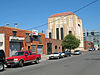
April 24, 2000 Roughly bounded by I-880, Madison St., 2nd St., and Webster St.
37°47′43″N 122°16′16″W / 37.795278°N 122.270997°WOakland 101 Donald and Helen Olsen House October 1, 2010 771 San Diego Rd.
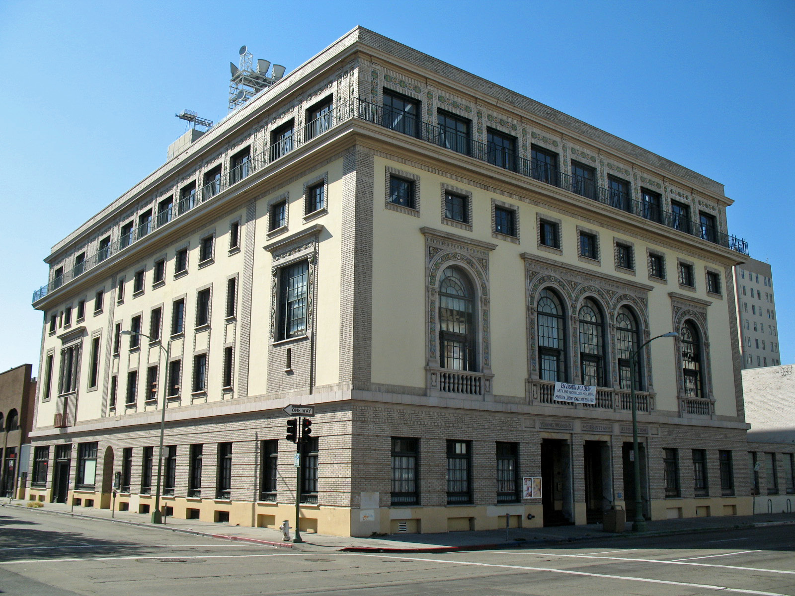
37°53′46″N 122°16′21″W / 37.896111°N 122.2725°WBerkeley 102 Oakland YWCA Building 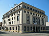
September 20, 1984 1515 Webster St.
37°48′17″N 122°16′06″W / 37.804611°N 122.268239°WOakland 103 Pacific Gas & Electric Company Building 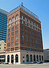
July 17, 1986 1625 Clay and 551 17th Sts.
37°48′26″N 122°16′22″W / 37.807086°N 122.272689°WOakland 104 Pacific Press Building April 14, 1975 1117 Castro St.
37°48′17″N 122°16′42″W / 37.804722°N 122.278333°WOakland 105 Panoramic Hill October 21, 2005 Panoramic Wy, Canyon Rd., Mosswood, Orchard Ln., Arden Rd.
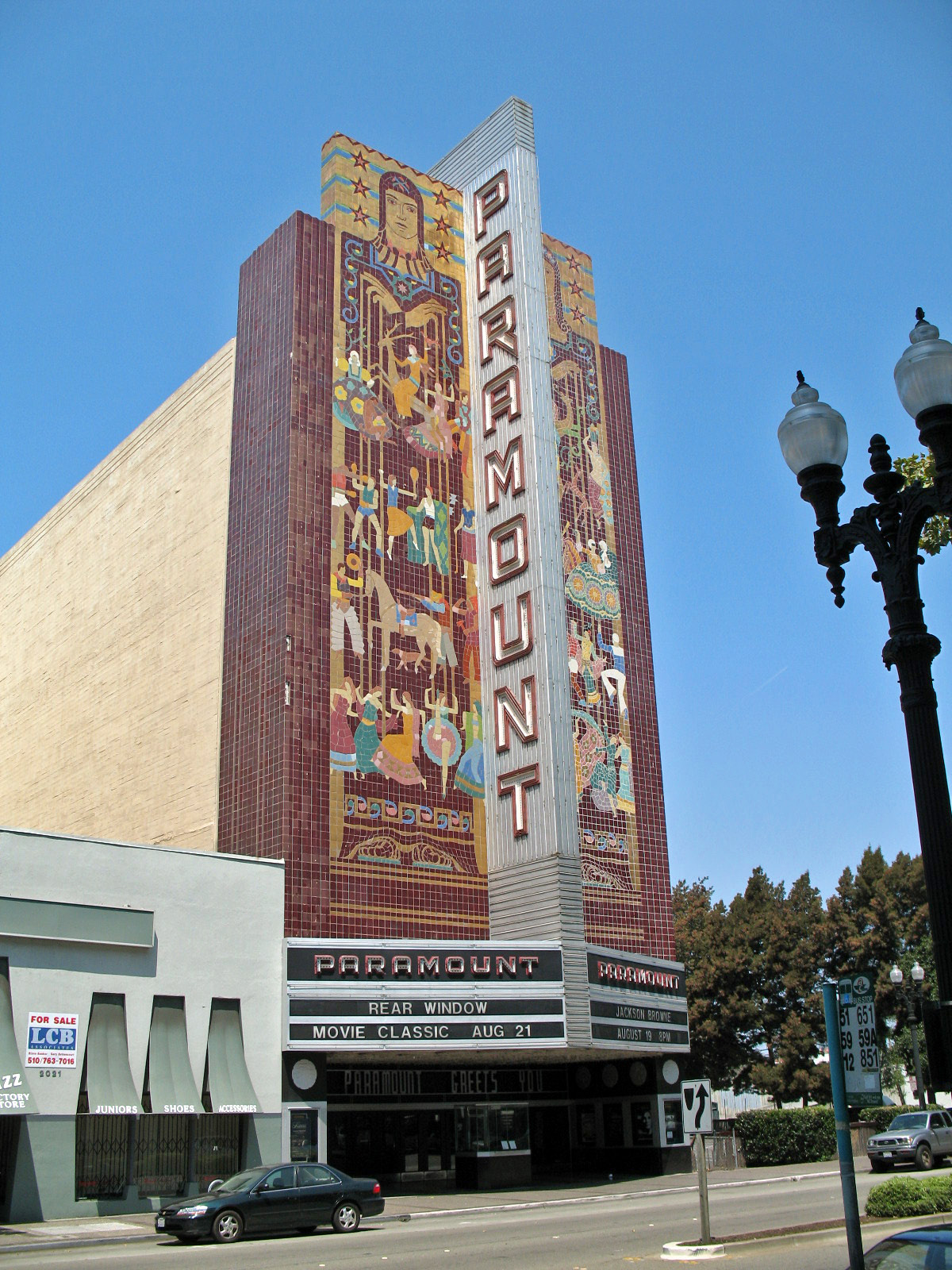
37°52′07″N 122°14′13″W / 37.868617°N 122.236967°WBerkeley 106 Paramount Theatre 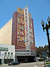
August 14, 1973 2025 Broadway
37°48′35″N 122°16′05″W / 37.809639°N 122.268114°WOakland 107 Pardee House 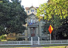
May 24, 1976 672 11th St.
37°48′17″N 122°16′40″W / 37.804722°N 122.277894°WOakland 108 Park Street Historic Commercial District May 12, 1982 Roughly bounded by Oak St., Park, Lincoln, and Encinal Aves.
37°45′53″N 122°14′36″W / 37.764839°N 122.243217°WAlameda 109 George Washington Patterson Ranch-Ardenwood 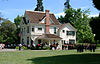
November 29, 1985 34600 Newark Blvd.
37°33′27″N 122°02′57″W / 37.557519°N 122.049247°WFremont 110 Peralta House 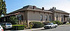
November 22, 1978 561 Lafayette Ave.
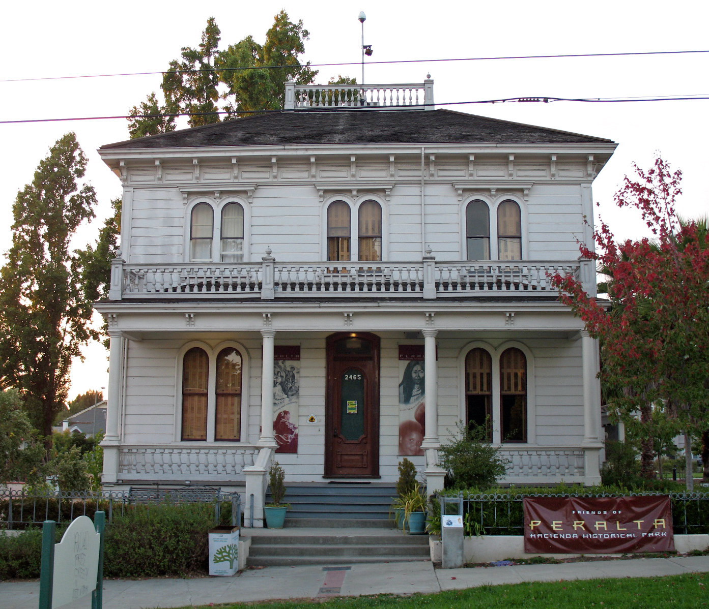
37°43′50″N 122°09′42″W / 37.730447°N 122.161769°WSan Leandro 111 Antonio Maria Peralta House 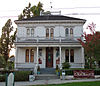
November 17, 1977 2465 34th Ave.
37°47′14″N 122°13′03″W / 37.787106°N 122.217428°WOakland 112 Peterson House 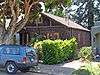
March 11, 1982 1124 Talbot Ave.
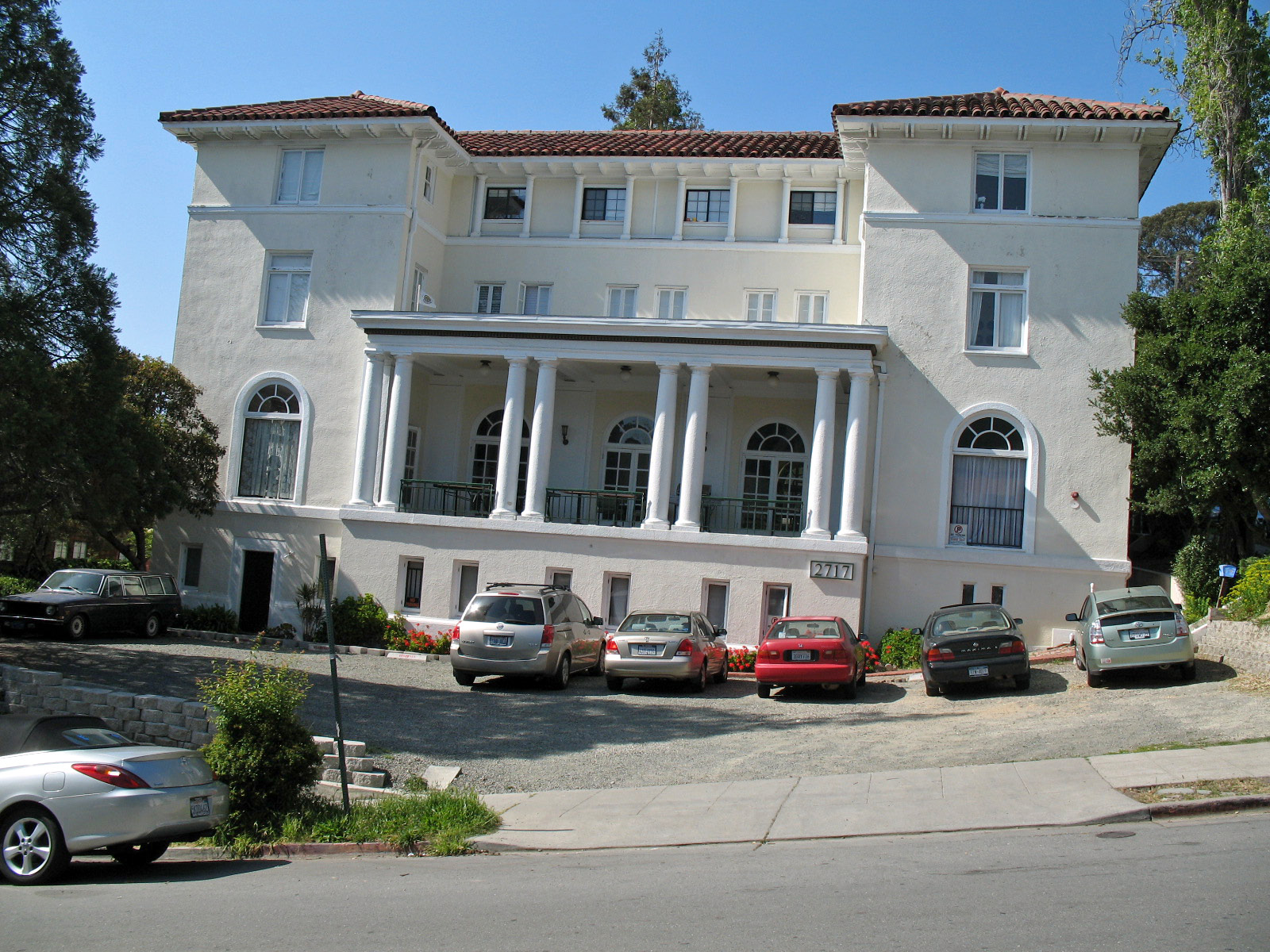
37°53′01″N 122°17′36″W / 37.883636°N 122.293442°WAlbany 113 Phi Delta Theta Chapter House 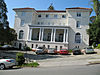
January 11, 1983 2717 Hearst Ave.
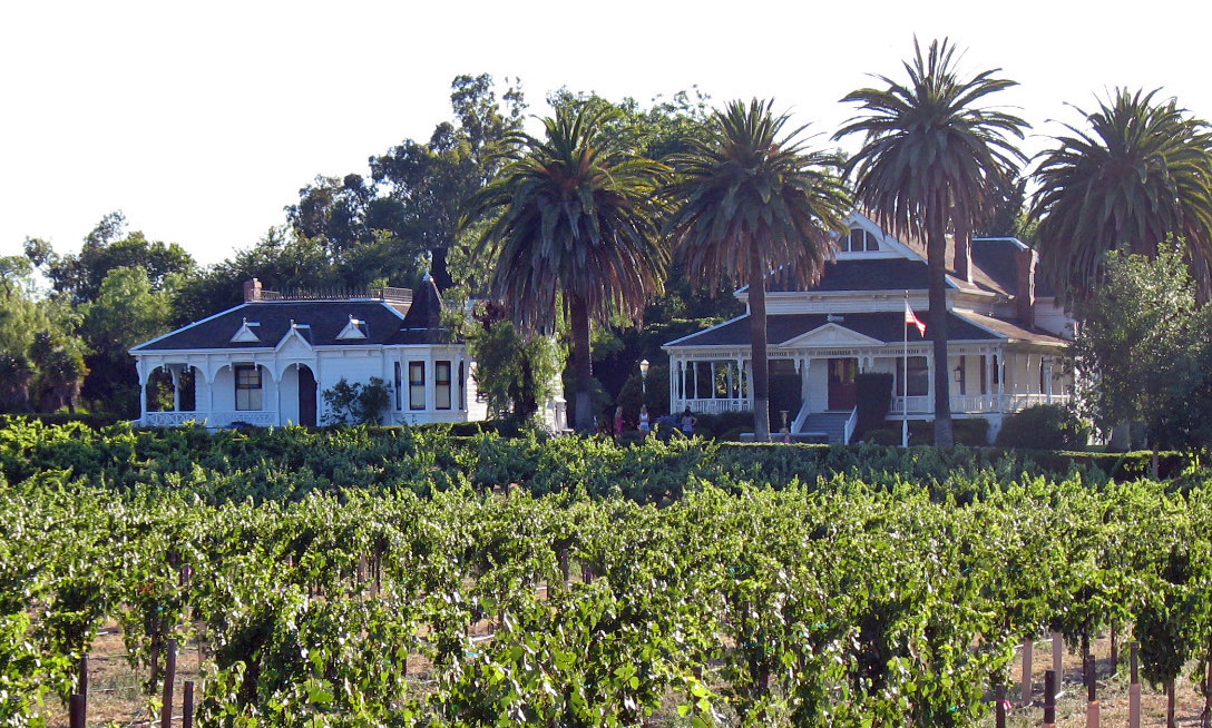
37°52′33″N 122°15′22″W / 37.875861°N 122.255992°WBerkeley 114 Ravenswood 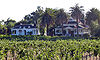
June 26, 1979 S of Livermore on Arroyo Rd.
37°39′08″N 121°46′11″W / 37.652122°N 121.769603°WLivermore 115 Remar Bakery 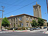
April 11, 2002 1010 46th St.
37°50′09″N 122°16′33″W / 37.835792°N 122.275958°WEmeryville Now known as Bakery Lofts. 116 Room 307, Gilman Hall, University of California October 15, 1966 University of California at Berkeley campus
37°52′21″N 122°15′23″W / 37.872617°N 122.256369°WBerkeley 117 Sather Gate and Bridge 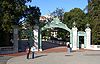
March 25, 1982 U.C.Berkeley
37°52′13″N 122°15′34″W / 37.87025°N 122.259486°WBerkeley 118 Sather Tower 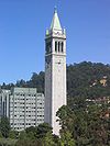
March 25, 1982 Oxford St.
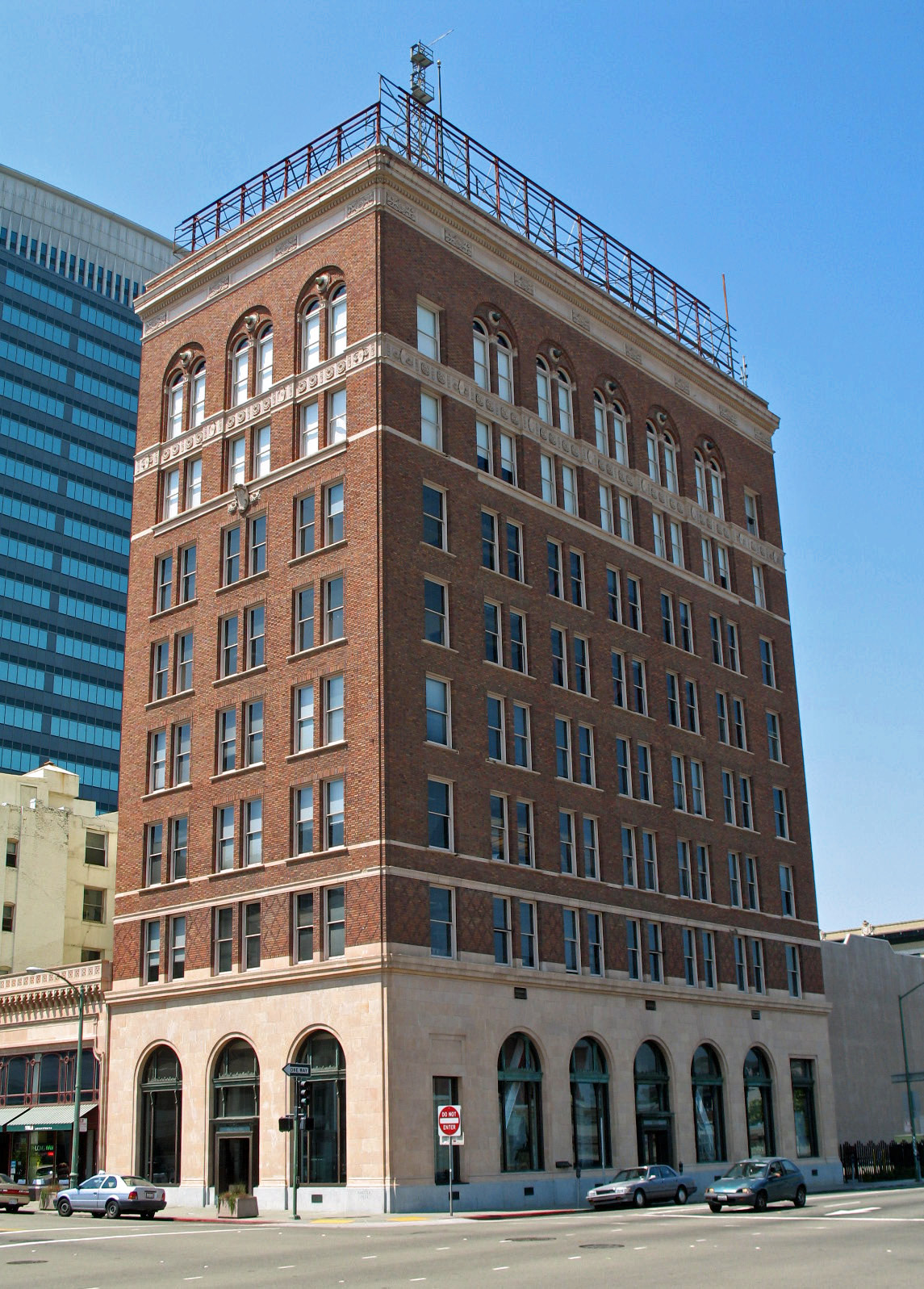
37°52′19″N 122°15′28″W / 37.872056°N 122.257819°WBerkeley 119 Security Bank and Trust Company Building 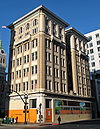
July 26, 1982 1000 Broadway
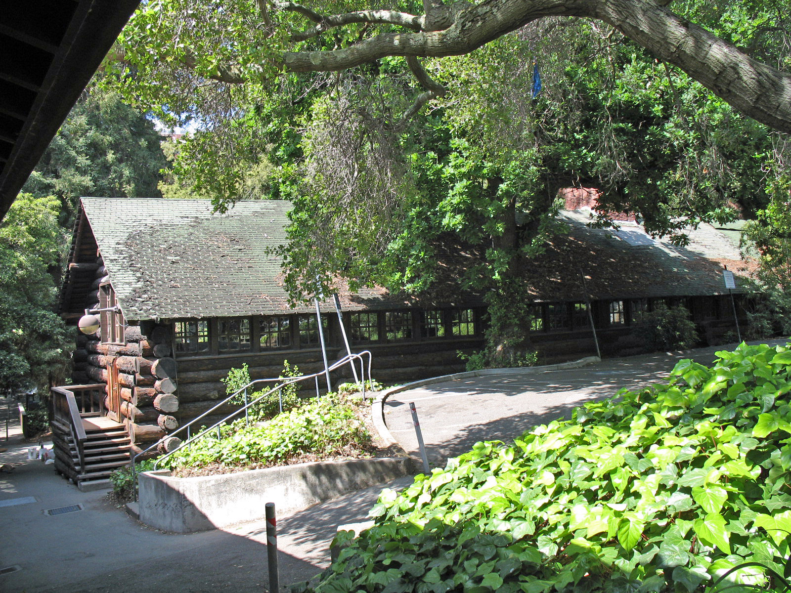
37°48′08″N 122°16′19″W / 37.802281°N 122.272036°WOakland Also headquarters of Key System 120 Senior Hall 
November 5, 1974 University of California, Berkeley campus
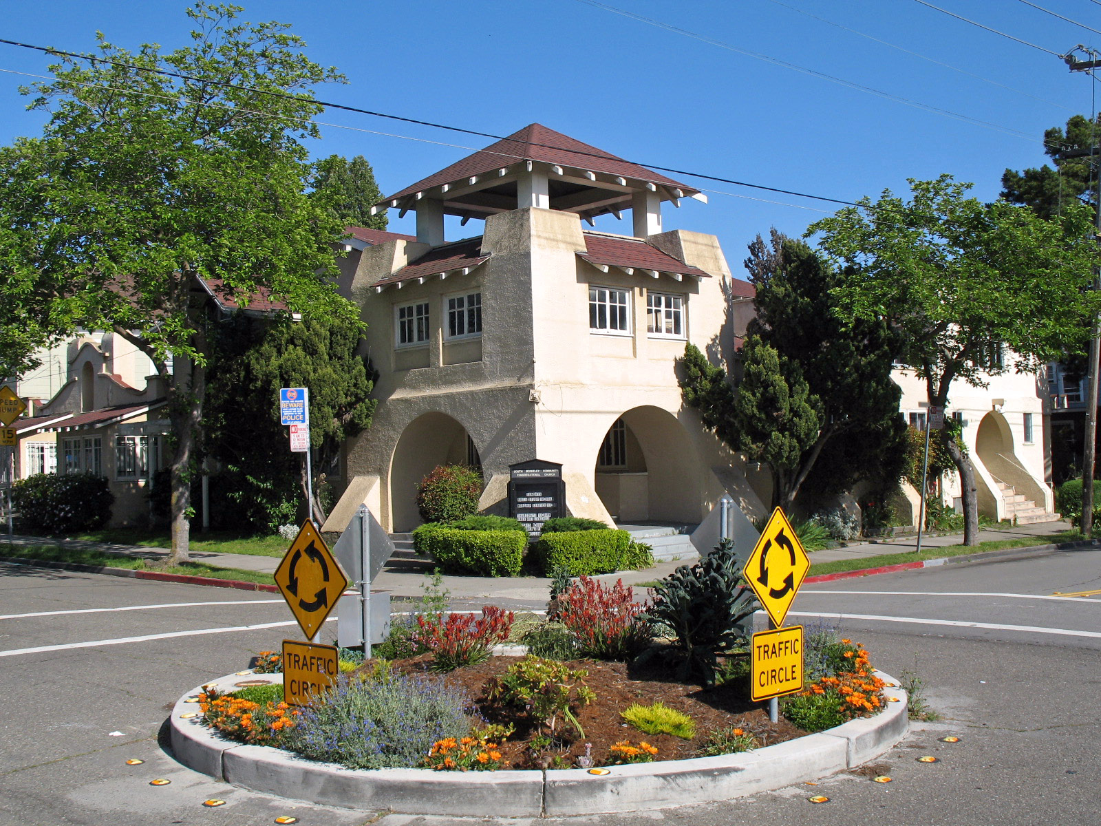
37°52′19″N 122°15′19″W / 37.871931°N 122.255386°WBerkeley 1906 log cabin by John Galen Howard; also known as Senior Men's Hall and Golden Bear Lodge[22] 121 South Berkeley Community Church 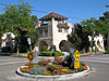
November 15, 2007 1802 Fairview St.
37°51′01″N 122°16′21″W / 37.850258°N 122.272508°WBerkeley 122 South Hall 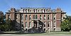
March 25, 1982 Oxford St.
37°52′17″N 122°15′31″W / 37.871339°N 122.258517°WBerkeley 123 St. John's Presbyterian Church 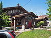
August 7, 1974 2640 College Ave.
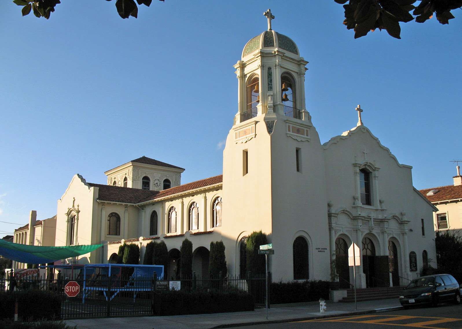
37°51′43″N 122°15′13″W / 37.862067°N 122.253744°WBerkeley Now known as the Julia Morgan Center 124 St. Joseph's Basilica 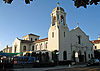
September 18, 1978 1109 Chestnut St.
37°45′58″N 122°15′17″W / 37.766144°N 122.254603°WAlameda 125 St. Raymond's Church 
April 12, 2006 6600 Donlon Way
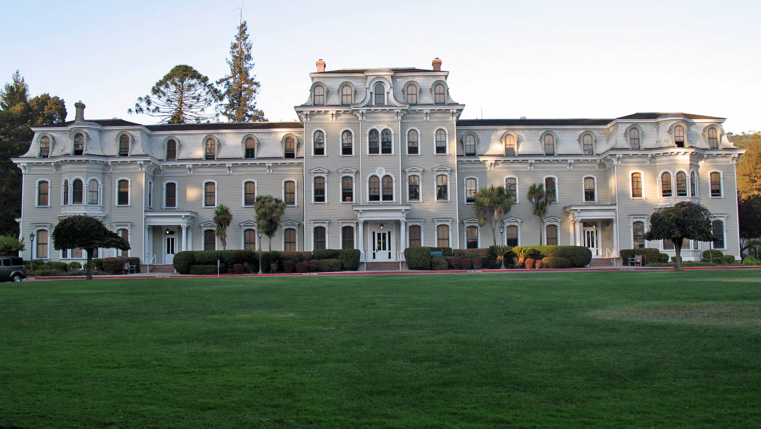
37°42′00″N 121°56′16″W / 37.700111°N 121.937861°WDublin 126 State Asylum for the Deaf, Dumb and Blind 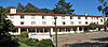
October 14, 1982 Bounded by Dwight Way, City line, Derby and Warring Sts.
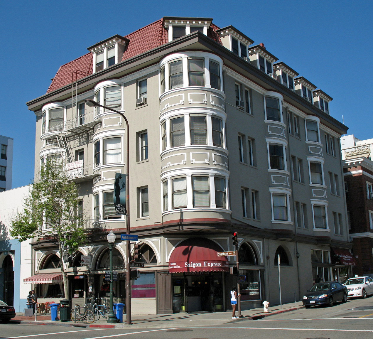
37°51′50″N 122°14′53″W / 37.863911°N 122.248133°WBerkeley Now Clark Kerr Campus 127 Studio Building 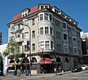
April 6, 1978 2045 Shattuck Ave.
37°52′18″N 122°16′03″W / 37.871781°N 122.267553°WBerkeley 128 The Bellevue-Staten 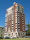
December 27, 1991 492 Staten Ave.
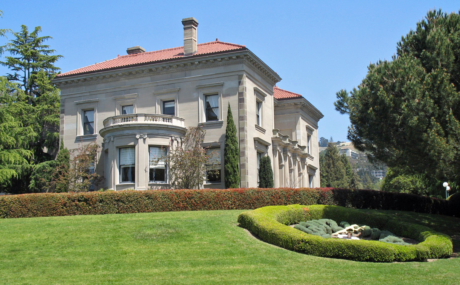
37°48′29″N 122°15′14″W / 37.807933°N 122.2538°WOakland 129 William R. Thorsen House 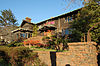
November 20, 1978 2307 Piedmont Ave.
37°52′08″N 122°15′06″W / 37.868997°N 122.251797°WBerkeley 130 Toverii Tuppa 
July 12, 1978 1819 10th St.
37°52′15″N 122°17′37″W / 37.870739°N 122.293586°WBerkeley 131 Treadwell Mansion and Carriage House 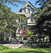
July 15, 1977 5212 Broadway
37°50′08″N 122°15′02″W / 37.835631°N 122.250633°WOakland Now part of the California College of the Arts 132 Trinity Church 
February 4, 1982 525 29th St.
37°49′06″N 122°16′05″W / 37.818303°N 122.268047°WOakland 133 Tupper and Reed Building 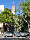
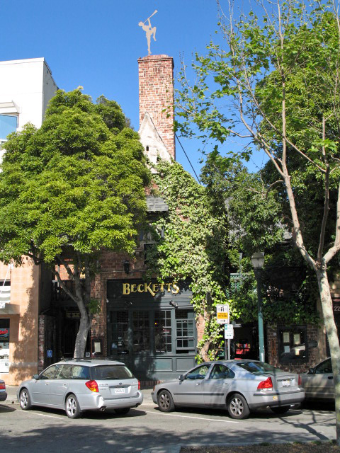
January 21, 1982 2275 Shattuck Ave.
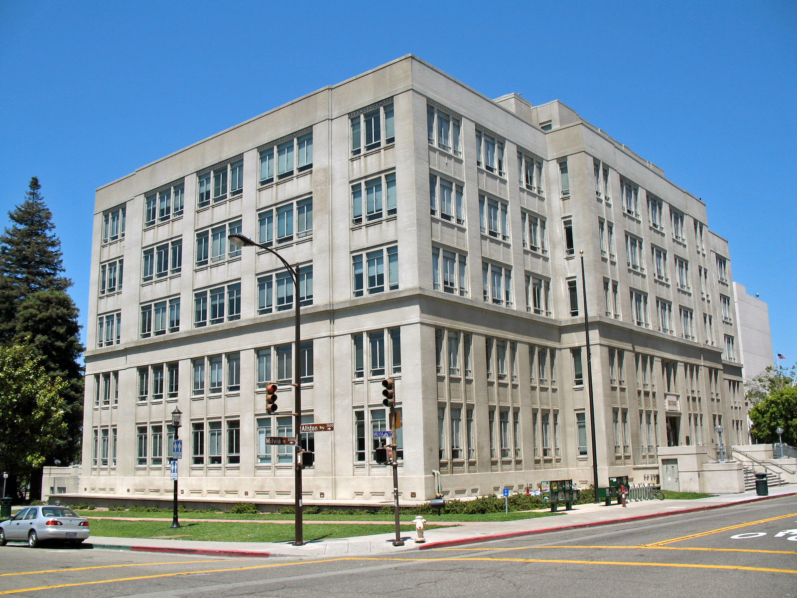
37°52′05″N 122°16′03″W / 37.868131°N 122.267497°WBerkeley Now known as Beckett's Pub 134 U.S. Post Office 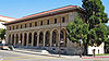
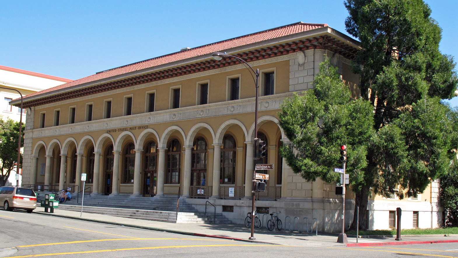
January 29, 1981 2000 Allston Way
37°52′08″N 122°16′13″W / 37.868931°N 122.270214°WBerkeley 135 Union Iron Works Powerhouse January 10, 1980 2308 Webster St.
37°47′12″N 122°16′27″W / 37.786667°N 122.274167°WAlameda 136 Union Iron Works Turbine Machine Shop 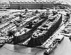
April 10, 1980 2200 Webster St.
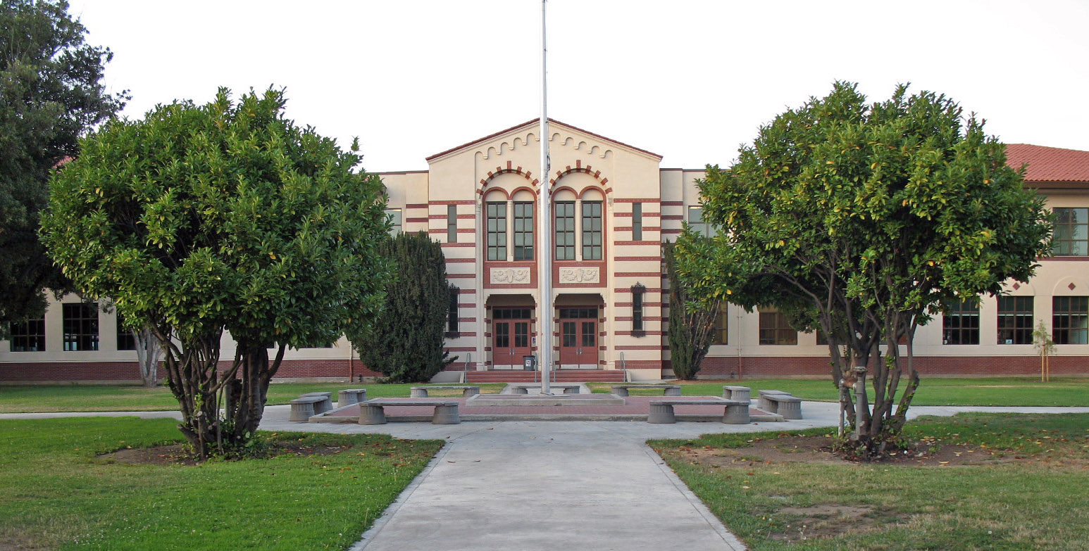
37°47′04″N 122°16′19″W / 37.784444°N 122.271944°WAlameda 137 University High School 
October 2, 1992 5714 Martin Luther King Jr. Way
37°50′33″N 122°16′10″W / 37.842583°N 122.269508°WOakland Now the North Oakland Senior Center 138 University House 
March 25, 1982 Oxford St.
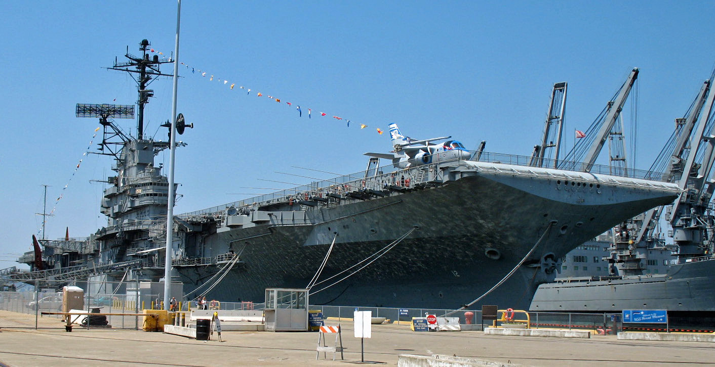
37°52′28″N 122°15′44″W / 37.874419°N 122.262228°WBerkeley 139 USS HORNET 
December 4, 1991 Alameda Point
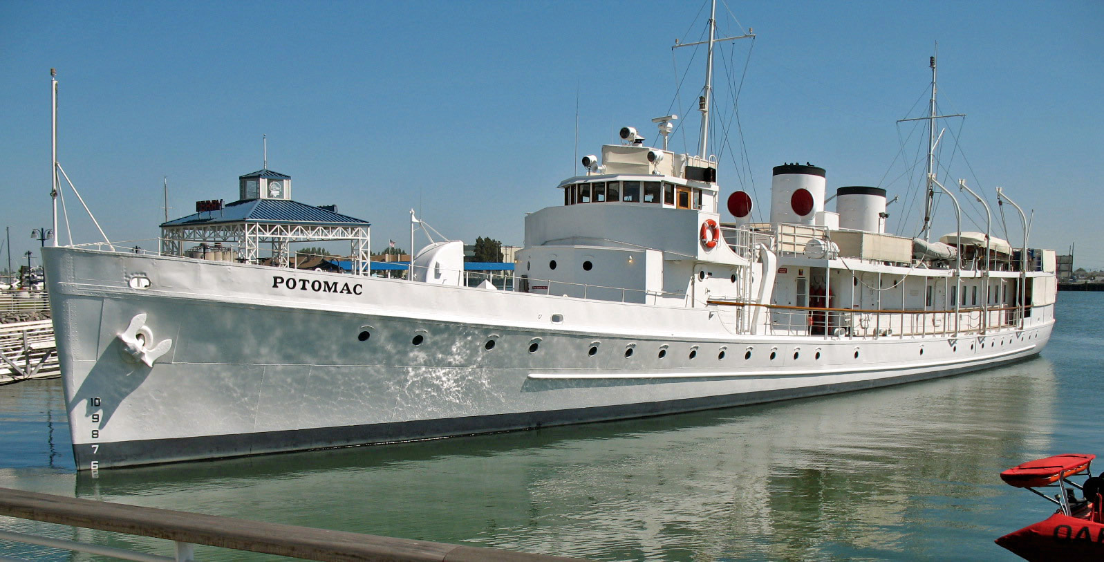
37°46′22″N 122°18′10″W / 37.772644°N 122.302883°WAlameda Listed in the National Park Service NRIS database in Bremerton, Washington; moved to Naval Air Station Alameda and opened as a museum in 1998. 140 USS POTOMAC (yacht) 
February 20, 1987 1660 Embarcadero
37°47′43″N 122°16′48″W / 37.795286°N 122.280056°WOakland 141 Washington Union High School 
October 5, 1981 38442 Fremont Blvd.
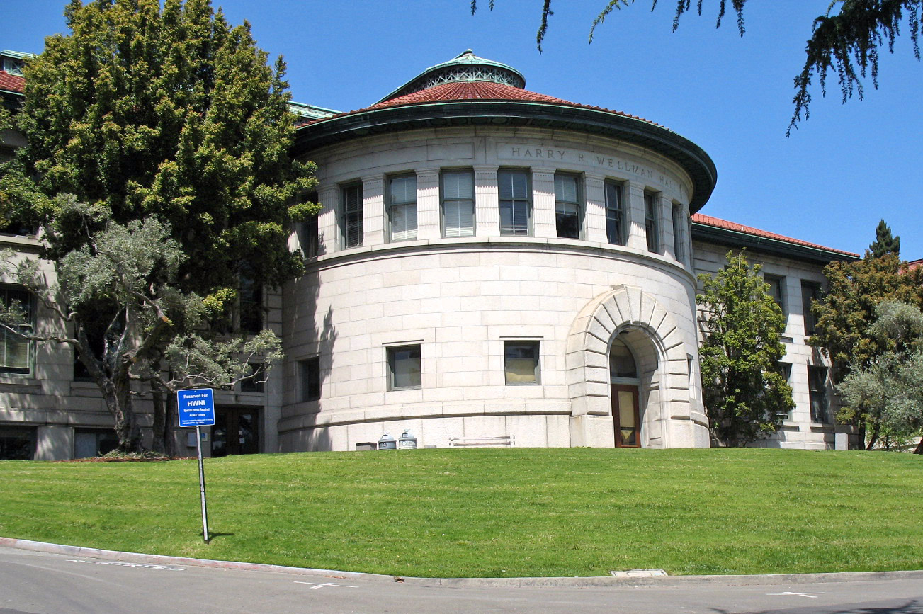
37°33′10″N 121°59′41″W / 37.552831°N 121.994836°WFremont 142 Wellman Hall 
March 25, 1982 Oxford St.
37°52′23″N 122°15′46″W / 37.873047°N 122.262714°WBerkeley 143 Wetmore House 
April 14, 1978 342 Bonita Ave.
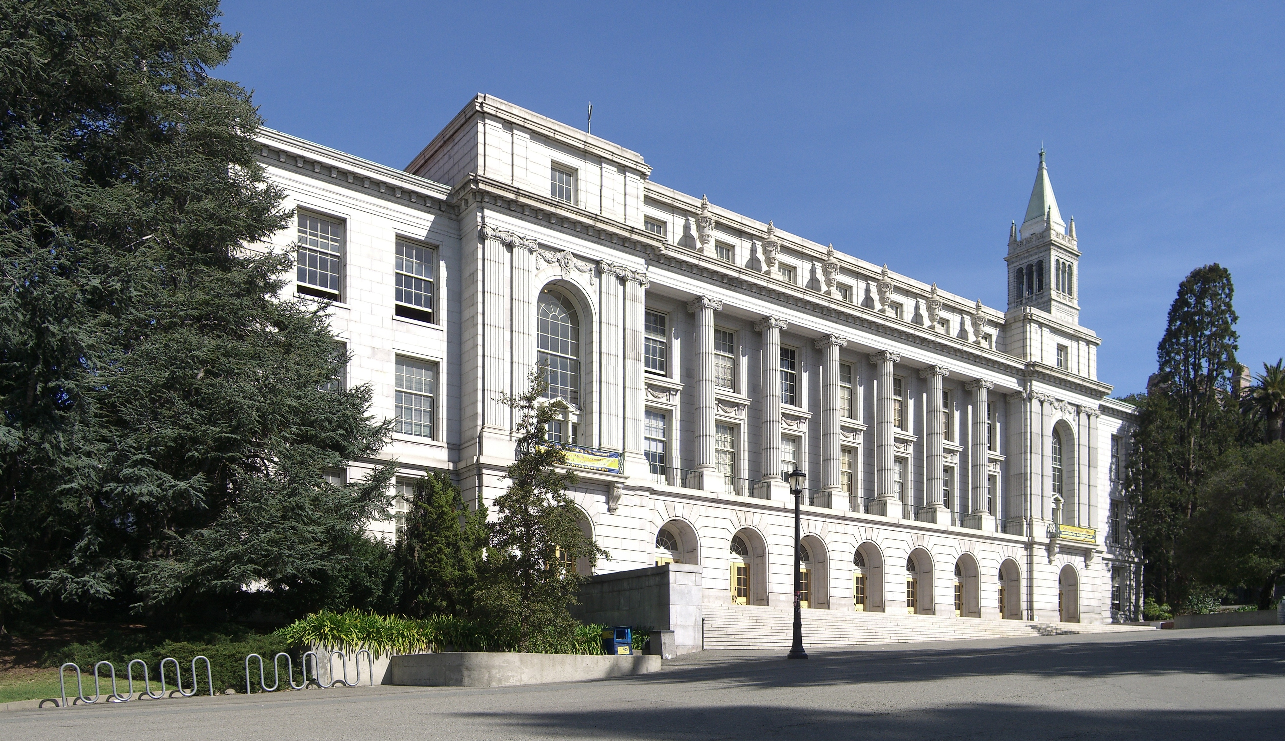
37°49′27″N 122°13′59″W / 37.824275°N 122.233178°WPiedmont 144 Wheeler Hall 
March 25, 1982 Oxford St.
37°52′16″N 122°15′32″W / 37.871028°N 122.258997°WBerkeley 145 White Mansion 
October 31, 1980 604 E. 17th St.
37°47′49″N 122°15′00″W / 37.797003°N 122.249917°WOakland 146 Women's Athletic Club of Alameda County April 29, 2009 525 Bellevue Ave.
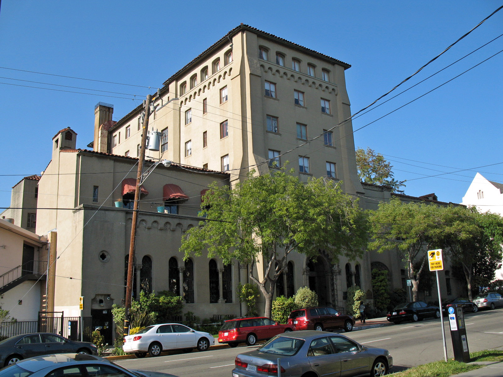
37°48′28″N 122°15′16″W / 37.807769°N 122.254553°WOakland Site determined eligible but not yet listed on the National Register of Historic Places
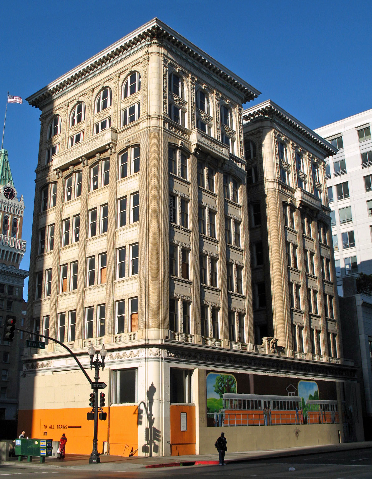
[3] Landmark name Image Date listed Location City or town Summary 1 Claremont Hotel 
May 22, 2003 41 Tunnel Rd.
37°51′32″N 122°14′31″W / 37.858972°N 122.241992°WBerkeley Sites moved to a different location
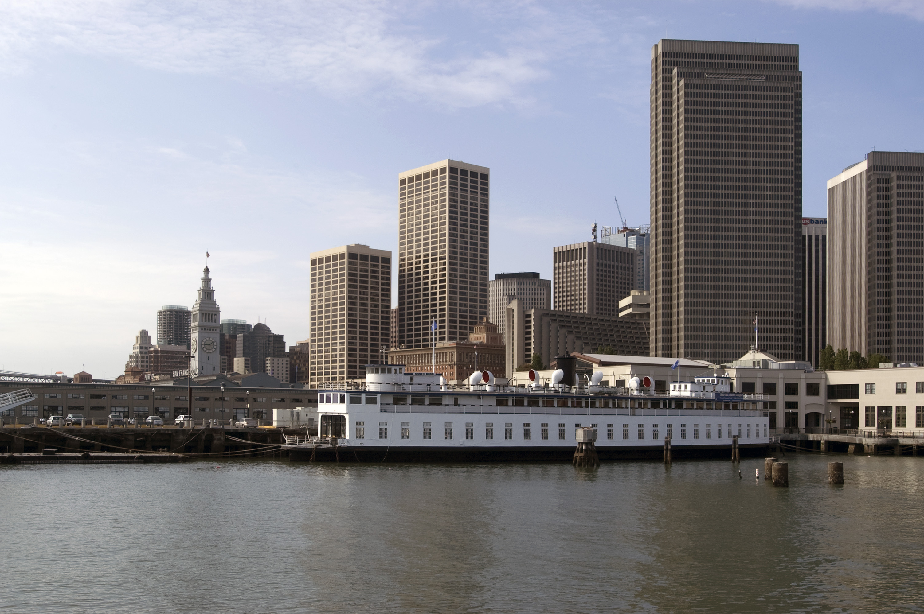
[3] Landmark name Image Date listed Location City or town Summary 1 M.V. SANTA ROSA 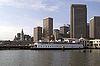
May 29, 1979 Pier 3, San Francisco San Francisco Listed in the NRIS database as located Howard Terminal, Oakland. The vessel, now moored at Pier 3 in San Francisco, is owned by Hornblower Yachts and has been used as a concert venue.[23] 2 CITY OF OAKLAND (USS HOGA) 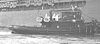
June 30, 1989 Suisun Bay (see summary) Benicia Listed in the NRIS database as located at FDR Memorial Pier, Jack London Square, Oakland. The vessel was transferred to the Arkansas Inland Maritime Museum (AIMM) in 2005[24] and was scheduled to be moved to North Little Rock, Arkansas in 2007. The move has been delayed by damage from Hurricane Katrina along the proposed tow route to AIMM and transport costs.[25] As of April 2009, the vessel was moored at Suisun Bay, California.[26] See also
- List of Registered Historic Places in California
- List of National Historic Landmarks in California
References
- ^ The latitude and longitude information provided in this table was derived originally from the National Register Information System, which has been found to be fairly accurate for about 99% of listings. For about 1% of NRIS original coordinates, experience has shown that one or both coordinates are typos or otherwise extremely far off; some corrections may have been made. A more subtle problem causes many locations to be off by up to 150 yards, depending on location in the country: most NRIS coordinates were derived from tracing out latitude and longitudes off of USGS topographical quadrant maps created under North American Datum of 1927, which differs from the current, highly accurate GPS system used by Google maps. Chicago is about right, but NRIS longitudes in Washington are higher by about 4.5 seconds, and are lower by about 2.0 seconds in Maine. Latitudes differ by about 1.0 second in Florida. Some locations in this table may have been corrected to current GPS standards.
- ^ "National Register of Historic Places: Weekly List Actions". National Park Service, United States Department of the Interior. Retrieved on November 10, 2011.
- ^ a b Numbers represent an ordering by significant words. Various colorings, defined here, differentiate National Historic Landmark sites and National Register of Historic Places Districts from other NRHP buildings, structures, sites or objects.
- ^ "National Register Information System". National Register of Historic Places. National Park Service. . http://nrhp.focus.nps.gov/natreg/docs/All_Data.html.
- ^ "Joaquin Miller Park Points of Interest". http://www.oaklandnet.com/joaquinmillerpark/Points.asp. Retrieved November 18, 2011.
- ^ Jones, Carolyn (October 21, 2009). "Joaquin Miller's Abbey to be restored". San Francisco Chronicle. http://articles.sfgate.com/2009-10-21/bay-area/17185860_1_miller-shot-miller-s-life-story-history-buffs. Retrieved November 18, 2011.
- ^ a b c d "Berkeley Landmarks: Nos. 1–100". Berkeley, CA: Berkeley Architectural Heritage Association. 2009. http://berkeleyheritage.com/berkeley_landmarks/landmarks1-100.html. Retrieved April 28, 2009.
- ^ "Old City Hall renamed for Maudelle Shirek". City of Berkeley. March 22, 2007. http://www.ci.berkeley.ca.us/pressreleasemain.aspx?id=3442. Retrieved April 28, 2009.
- ^ "Berkeley Landmarks: Nos. 101–200". Berkeley, CA: Berkeley Architectural Heritage Association. 2009. http://www.berkeleyheritage.com/berkeley_landmarks/landmarks101-200.html. Retrieved April 28, 2009.
- ^ a b c d e f g h i Stadtman, Verne A. (1967). "The Centennial Record of the University of California, 1868-1968". Berkeley, CA: University of California Regents. http://ark.cdlib.org/ark:/13030/hb4v19n9zb/. Retrieved April 28, 2009.
- ^ Thompson, Daniella (June 11, 2005). "Ken Cardwell recalls Bernard Maybeck". Berkeley, CA: Berkeley Architectural Heritage Association. http://berkeleyheritage.com/gallery/cardwell_at_faculty_club.html. Retrieved April 28, 2009.
- ^ Cerny, Susan (August 24, 2002). "Church is a classic worth saving". Berkeley, CA: The Berkeley Daily Planet. http://www.berkeleydailyplanet.com/issue/2002-08-24/article/14271?headline=Church-is-a-classic-worth-saving. Retrieved April 28, 2009.
- ^ Thompson, Daniella (May 15, 2008). "East Bay, Then and Now: Schweinfurth’s First Unitarian: A Powerhouse of a Church". Berkeley, CA: The Berkeley Daily Planet. http://www.berkeleydailyplanet.com/issue/2008-05-15/article/30023?headline=East-Bay-Then-and-Now-Schweinfurth-s-First-Unitarian-A-Powerhouse-of-a-Church. Retrieved April 28, 2009.
- ^ Cerny, Susan (March 3, 2001). "Founder’s Rock marks the beginnings of UC". Berkeley, CA: The Berkeley Daily Planet. http://www.berkeleydailyplanet.com/issue/2001-03-03/article/3716?status=301. Retrieved April 28, 2009.
- ^ Cerny, Susan (January 12, 2002). "Fox’s romantic retreats hide within busy University Ave.". Berkeley, CA: The Berkeley Daily Planet. http://www.berkeleydailyplanet.com/issue/2002-01-12/article/9489?status=301. Retrieved April 28, 2009.
- ^ Cerny, Susan (October 27, 2001). "Berkeley bakery once the largest in the East Bay". Berkeley, CA: The Berkeley Daily Planet. http://www.berkeleydailyplanet.com/issue/2001-10-27/article/7863?headline=Berkeley-bakery-once-the-largest-in-the-East-Bay&status=301. Retrieved April 28, 2009.
- ^ Loomis, John A. (July 17, 2004). "House on the hill: Architects of tomorrow get a chance to learn from a midcentury modern masterpiece". San Francisco, CA: San Francisco Chronicle. p. F-1. http://www.sfgate.com/cgi-bin/article.cgi?f=/c/a/2004/07/17/HOGHU7JB2O1.DTL. Retrieved April 28, 2009.
- ^ "National Historic Landmarks Program: Lake Merritt Wild Duck Refuge". National Park Service. http://tps.cr.nps.gov/nhl/detail.cfm?ResourceId=112&ResourceType=Site. Retrieved November 18, 2011.
- ^ Tramble, Thomas; Tramble, Wilma (2007). The Pullman Porters and West Oakland. Images of America. Arcadia Publishing. p. 68. ISBN 9780738547893.
- ^ Curtis, Nancy C. (1996). Black heritage sites: an African American odyssey and finder's guide. ALA Editions. p. 587. ISBN 9780838906439.
- ^ "Wards Demolition 'A Sad Occasion'". Oakland Post (Oakland, California: Alameda Publishing Corp.): p. 4. February 14, 2001.
- ^ Thompson, Daniella (October 27, 2006). "East Bay Then and Now: East Bay Buildings Inspired by Precedent, Part II". Berkeley, CA: The Berkeley Daily Planet. http://www.berkeleydailyplanet.com/issue/2006-10-27/article/25439?headline=East-Bay-Then-and-Now-East-Bay-Buildings-Inspired-by-Precedent-Part-II&status=301. Retrieved April 28, 2009.
- ^ Lebaron, Gaye (July 16, 2006). "Ferry Embarks on New Life as Floating Concert Hall". Santa Rosa, CA: The Press Democrat. p. B1. http://www.pressdemocrat.com/article/20060716/NEWS/607160327. Retrieved April 29, 2009.
- ^ "National Historic Landmarks Program: City of Oakland (USS Hoga) (Tug)". National Park Service. http://tps.cr.nps.gov/nhl/detail.cfm?ResourceId=2072&ResourceType=Structure. Retrieved April 29, 2009.
- ^ "America's 11 Most Endangered Historic Places". National Trust for Historic Preservation. http://www.preservationnation.org/travel-and-sites/sites/western-region/tugboat-hoga.html. Retrieved 2 July 2009.
- ^ "National Defense Reserve Fleet Inventory". U.S. Department of Transportation Maritime Administration. May 6, 2009. http://www.marad.dot.gov/documents/NDRF_Inventory.pdf. Retrieved 2 July 2009.
U.S. National Register of Historic Places Topics Lists by states Alabama • Alaska • Arizona • Arkansas • California • Colorado • Connecticut • Delaware • Florida • Georgia • Hawaii • Idaho • Illinois • Indiana • Iowa • Kansas • Kentucky • Louisiana • Maine • Maryland • Massachusetts • Michigan • Minnesota • Mississippi • Missouri • Montana • Nebraska • Nevada • New Hampshire • New Jersey • New Mexico • New York • North Carolina • North Dakota • Ohio • Oklahoma • Oregon • Pennsylvania • Rhode Island • South Carolina • South Dakota • Tennessee • Texas • Utah • Vermont • Virginia • Washington • West Virginia • Wisconsin • WyomingLists by territories Lists by associated states Other Municipalities and communities of Alameda County, California Cities Alameda | Albany | Berkeley | Dublin | Emeryville | Fremont | Hayward | Livermore | Newark | Oakland | Piedmont | Pleasanton | San Leandro | Union City
CDPs Ashland | Castro Valley | Cherryland | Fairview | San Lorenzo | Sunol
Unincorporated
communitiesAlbrae | Altamont | Asco | Baumberg | Brightside | Brookshire | Carpenter | Dougherty | Dresser | East Pleasanton | Farwell | Hall Station | Halvern | Kilkare Woods | Komandorski Village | Lorenzo Station | Mattos | Mendenhall Springs | Midway | Mountain House | Mowry Landing | Radum | San Ramon Village | Scotts Corner | Sorenson | Verona
Former settlements Alden | Alvarado | Ann | Decoto | Drawbridge | Eden Landing | Elliot | Goecken | Greenville | Hacienda | Hayward Heath | Laddville | Larkin's Landing | Mallard | Melita | Merienda | Monte Vista | Remillard | Robert | Russell City | Stokes Landing | Tesla
Categories:- History of Alameda County, California
- Alameda County, California
- National Register of Historic Places in the San Francisco Bay Area
- National Register of Historic Places in California by county
- Lists of National Register of Historic Places in California
-


Wikimedia Foundation. 2010.