- National Register of Historic Places listings in Bernalillo County, New Mexico
-
 Location of Bernalillo County in New Mexico
This is a list of the National Register of Historic Places listings in Bernalillo County, New Mexico.
This is intended to be a complete list of the properties and districts on the National Register of Historic Places in Bernalillo County, New Mexico, United States. Latitude and longitude coordinates are provided for many National Register properties and districts; these locations may be seen together in a Google map.[1]
There are 142 properties and districts listed on the National Register in the county, including 1 National Historic Landmark.
-
- This National Park Service list is complete through NPS recent listings posted November 10, 2011.[2]
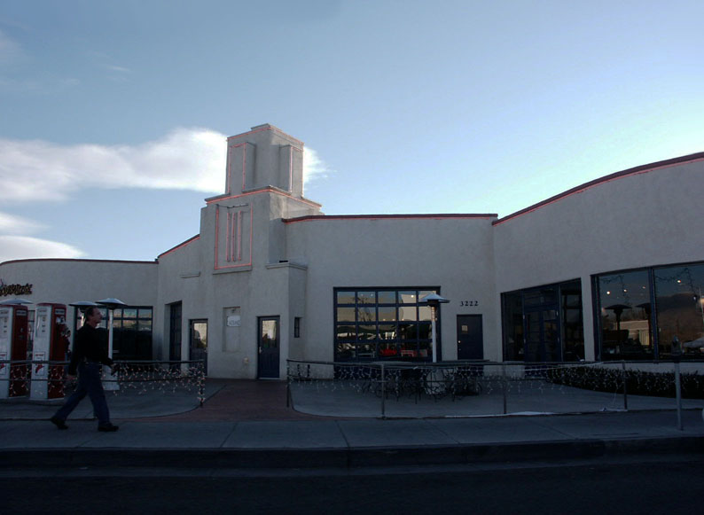
Contents: Counties in New Mexico Bernalillo – Catron – Chaves – Cibola – Colfax – Curry – De Baca – Doña Ana – Eddy – Grant – Guadalupe – Harding – Hidalgo – Lea – Lincoln – Los Alamos – Luna – McKinley – Mora – Otero – Quay – Rio Arriba – Roosevelt – San Juan – San Miguel – Sandoval – Santa Fe – Sierra – Socorro – Taos – Torrance – Union – Valencia Current listings
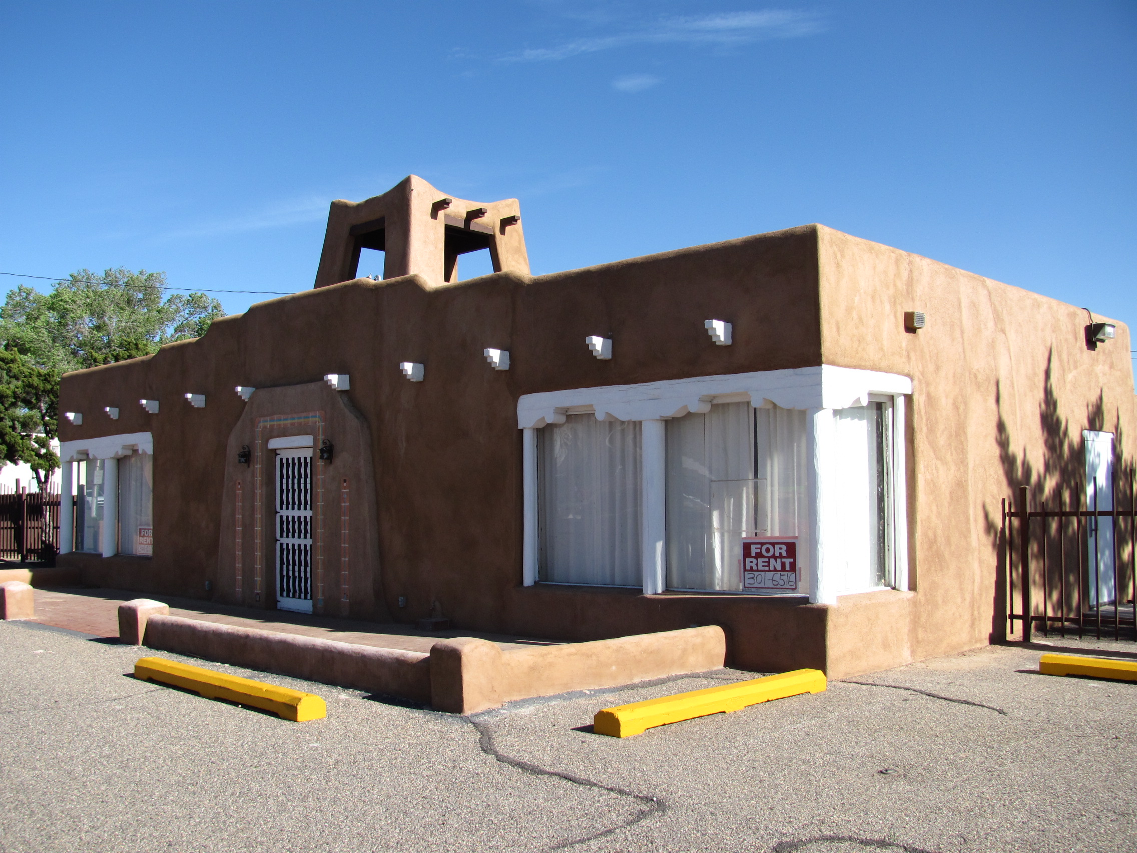
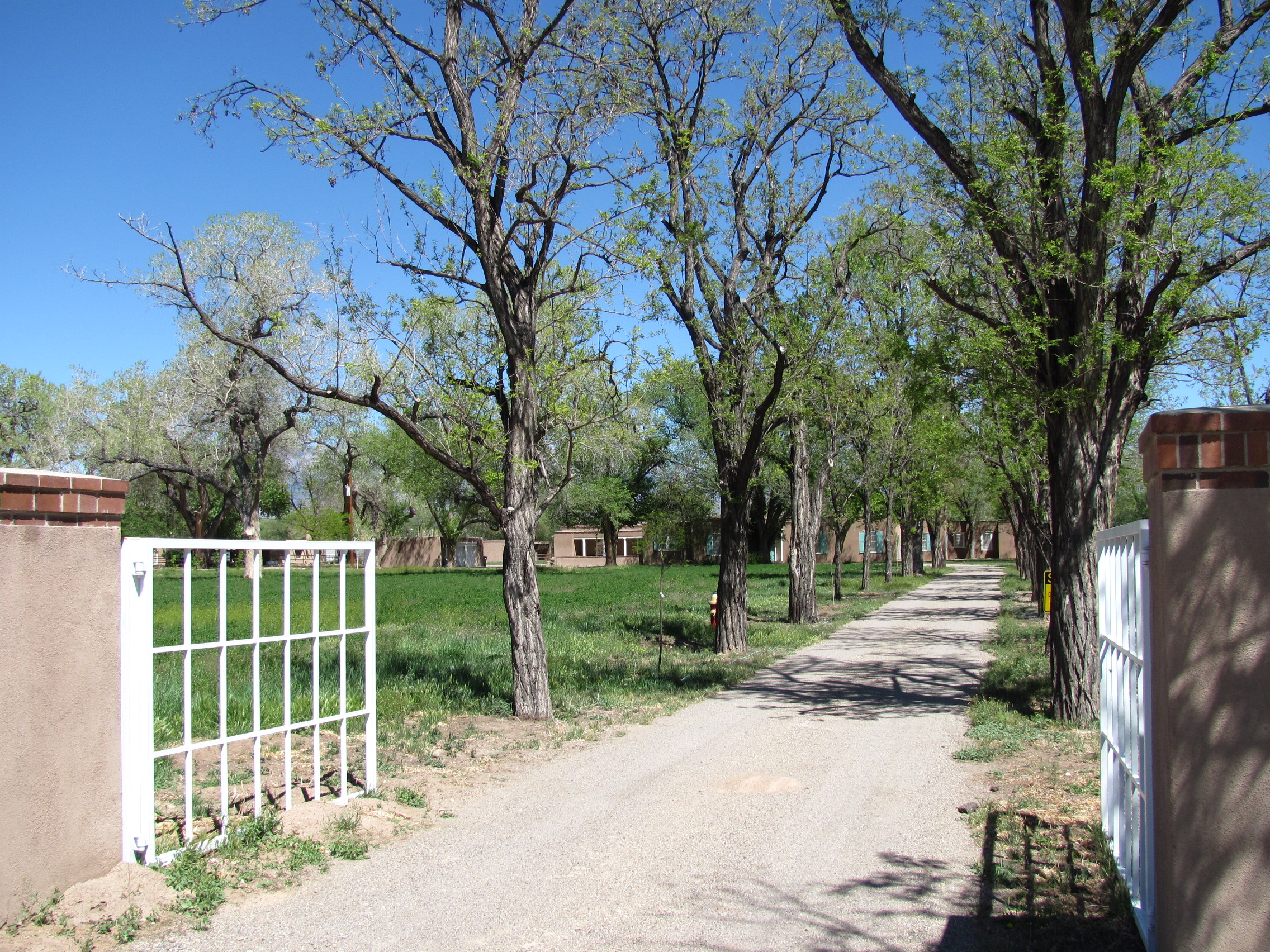
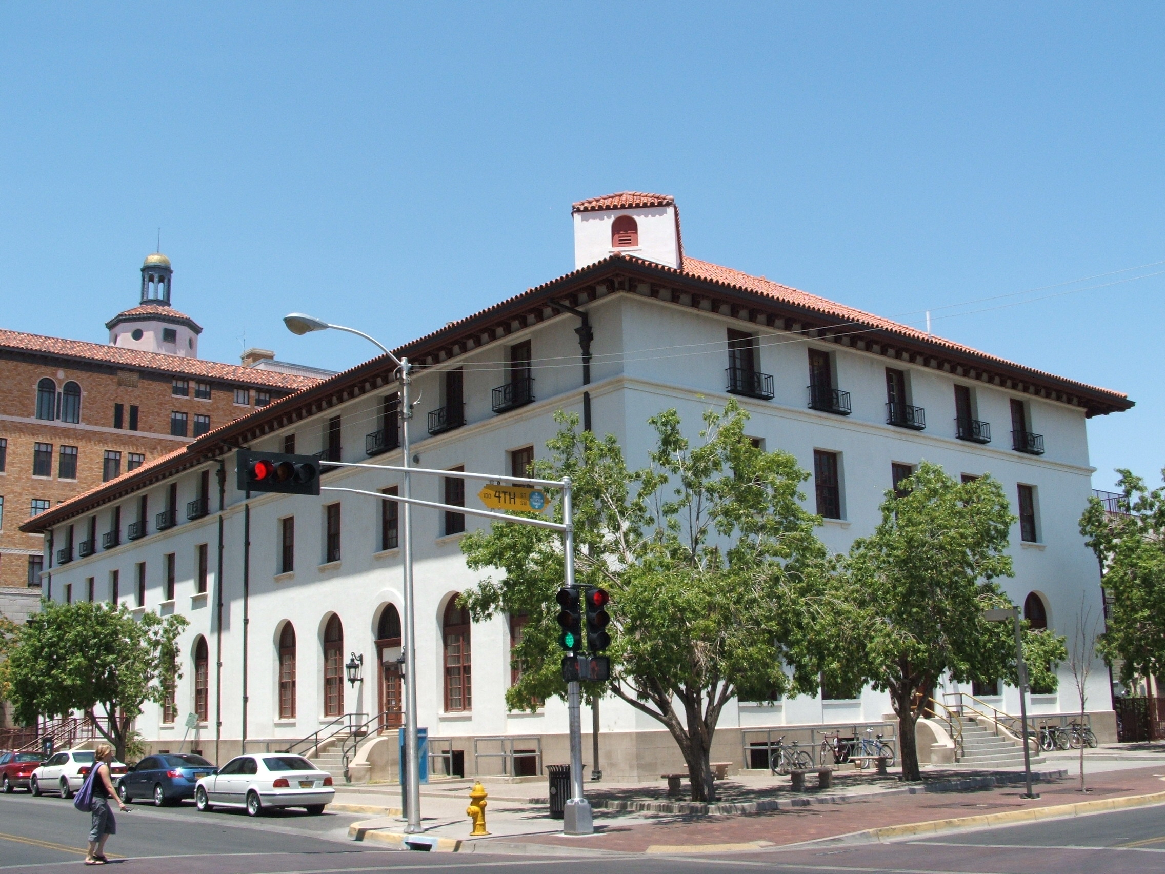
[3] Landmark name [4] Image Date listed Location City or town Summary 1 Old Albuquerque Municipal Airport Building May 5, 1989 2920 Yale Boulevard, SE.
35°02′52″N 106°37′14″W / 35.047778°N 106.620556°WAlbuquerque 2 Albuquerque Veterans Administration Medical Center 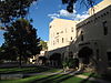
August 19, 1983 2100 Ridgecrest, SE.
35°03′18″N 106°35′02″W / 35.055°N 106.583889°WAlbuquerque 3 Aldo Leopold Neighborhood Historic District October 16, 2002 105-135 14th St., SW.
35°05′15″N 106°39′45″W / 35.0875°N 106.6625°WAlbuquerque 4 Gavino Anaya House February 9, 1984 2939 Duranes Rd., NW.
35°06′32″N 106°40′57″W / 35.108889°N 106.6825°WAlbuquerque 5 Juan Cristobal Armijo Homestead September 30, 1982 207 Griegos Rd., NE.
35°07′42″N 106°37′59″W / 35.128333°N 106.633056°WAlbuquerque 6 Salvador Armijo House 
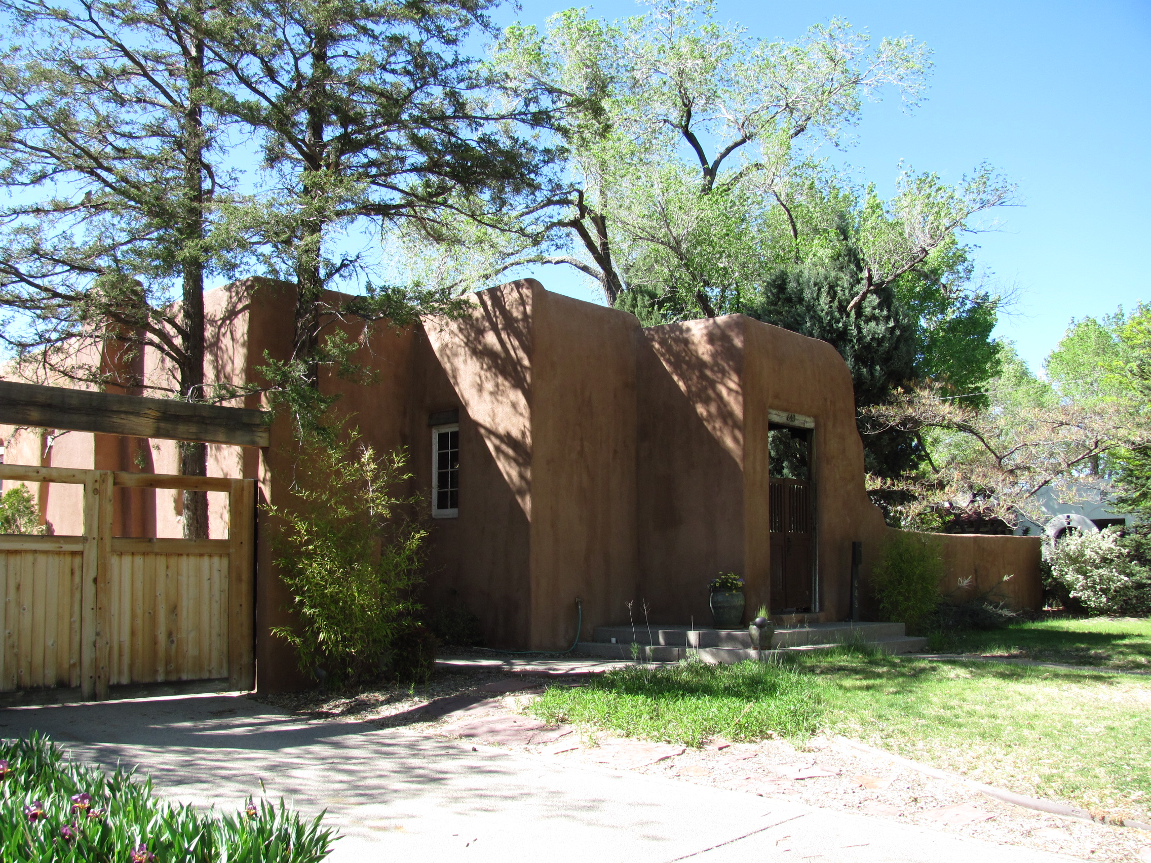
October 8, 1976 618 Rio Grande Boulevard, NW.
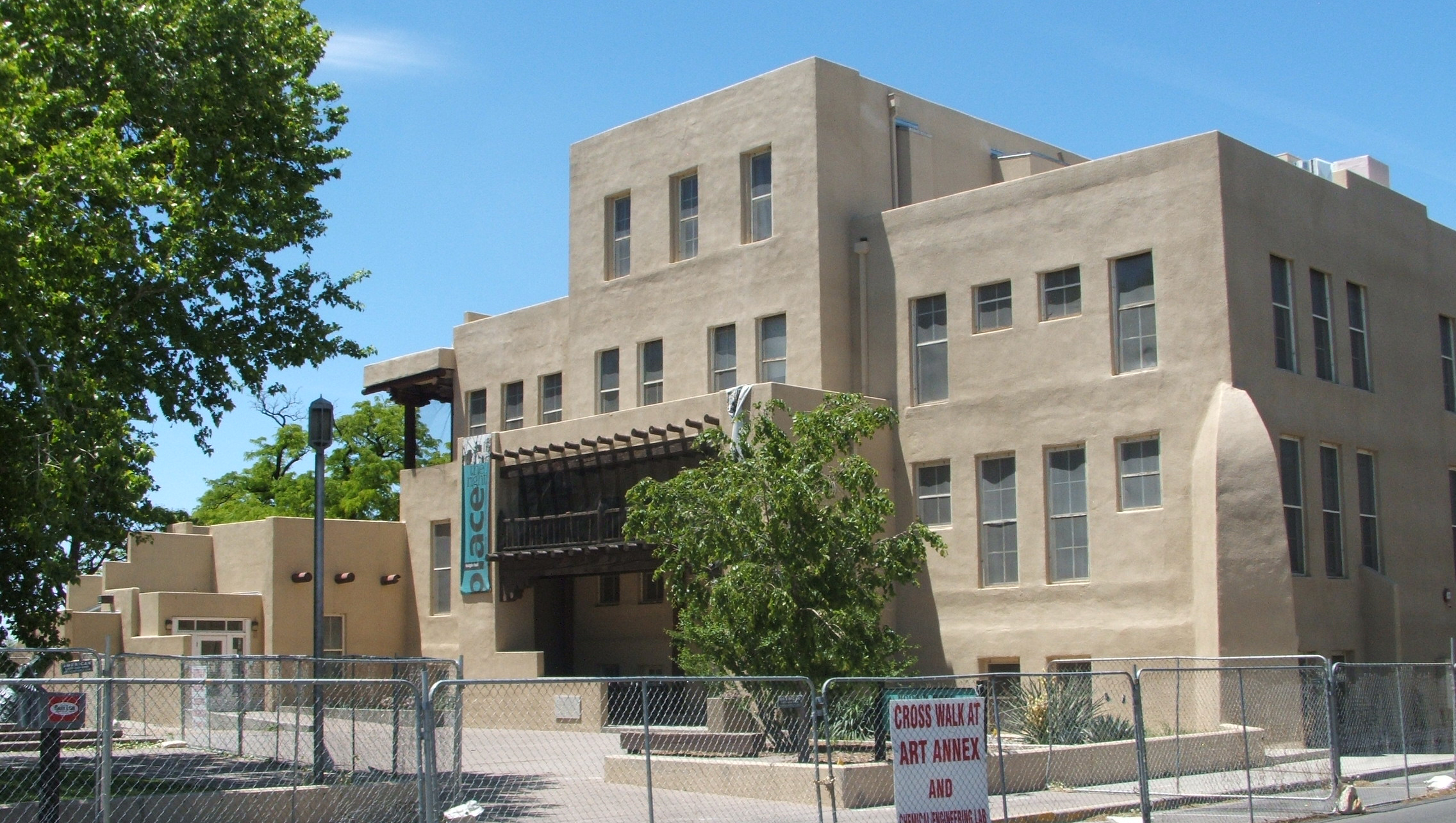
35°05′58″N 106°40′10″W / 35.099444°N 106.669444°WAlbuquerque 7 Art Annex 
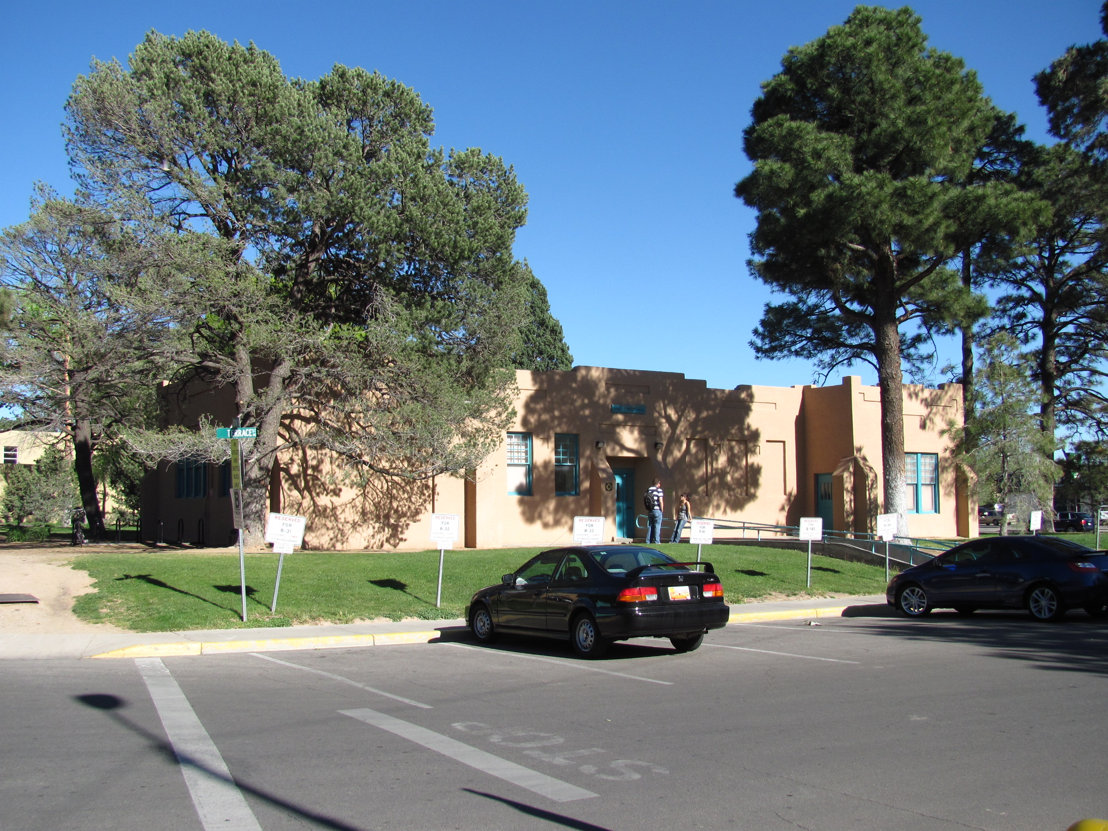
September 22, 1988 Northeastern corner of Central Ave. and Terrace St., University of New Mexico
35°04′53″N 106°37′27″W / 35.081389°N 106.624167°WAlbuquerque 8 ATSF Locomotive No. 2926 October 1, 2007 1600 12th St., NW.
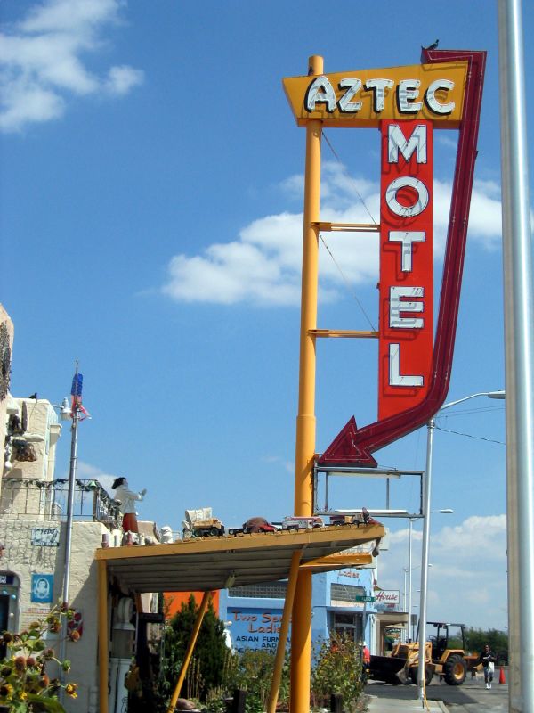
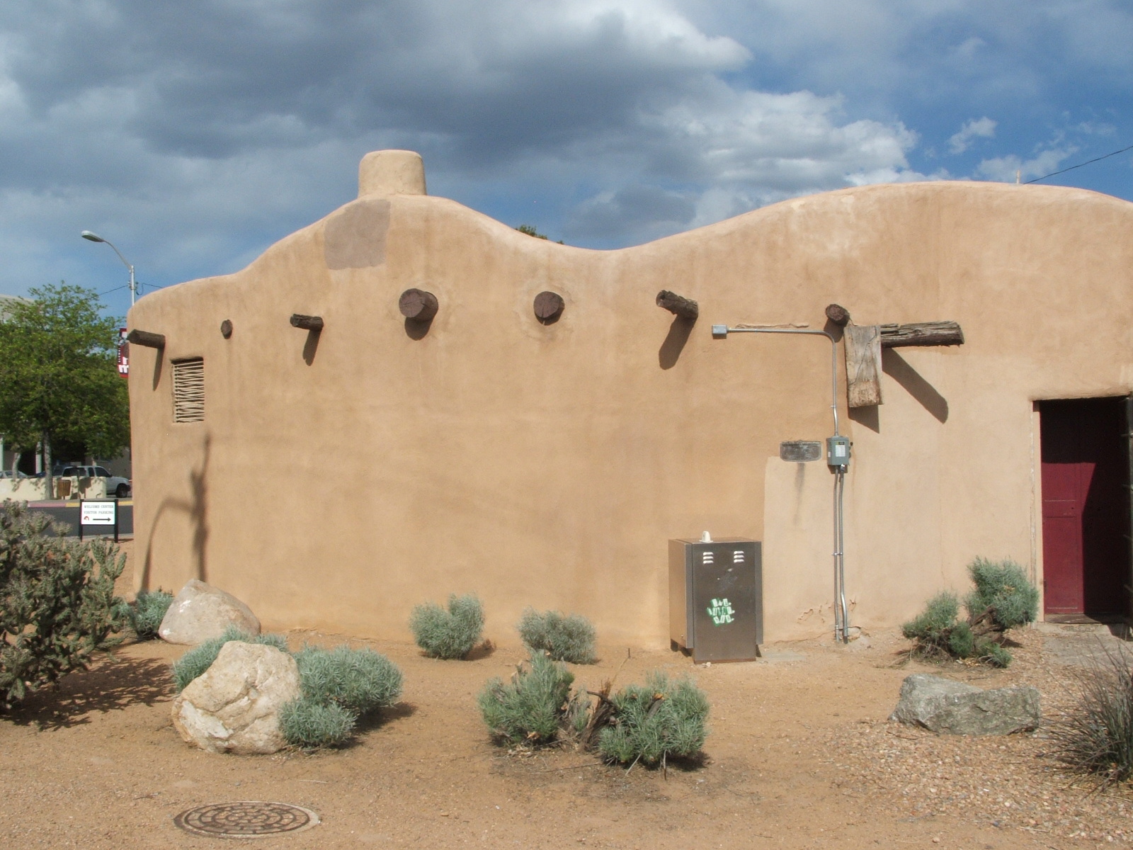
35°06′11″N 106°39′15″W / 35.103056°N 106.654167°WAlbuquerque 9 Aztec Auto Court 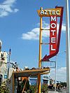
November 22, 1993 3821 Central Ave., NE.
35°04′46″N 106°36′03″W / 35.079444°N 106.600833°WAlbuquerque 10 Adrian Barela House February 9, 1984 7618 Guadalupe Trail, NW.
35°10′14″N 106°38′22″W / 35.170556°N 106.639444°WAlbuquerque 11 Barela-Bledsoe House March 12, 1979 7017 Edith Boulevard, NE.
35°09′32″N 106°37′14″W / 35.158889°N 106.620556°WAlbuquerque 12 Barelas-South Fourth Street Historic District July 24, 1997 4th St. from Stover Ave. to Bridge St.
35°04′26″N 106°39′10″W / 35.073889°N 106.652778°WAlbuquerque 13 Charles A. Bottger House 
March 7, 1983 110 San Felipe, NW.
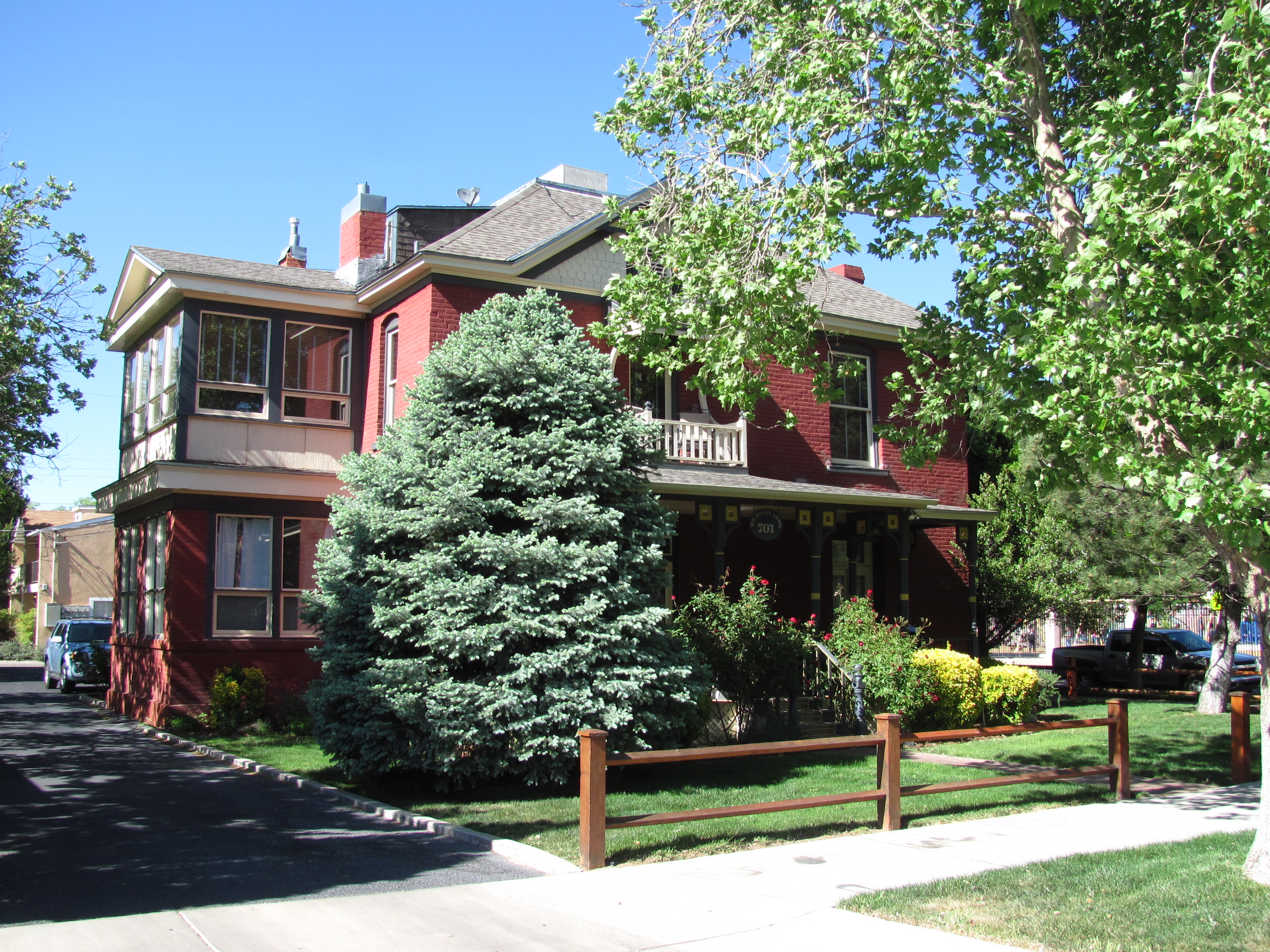
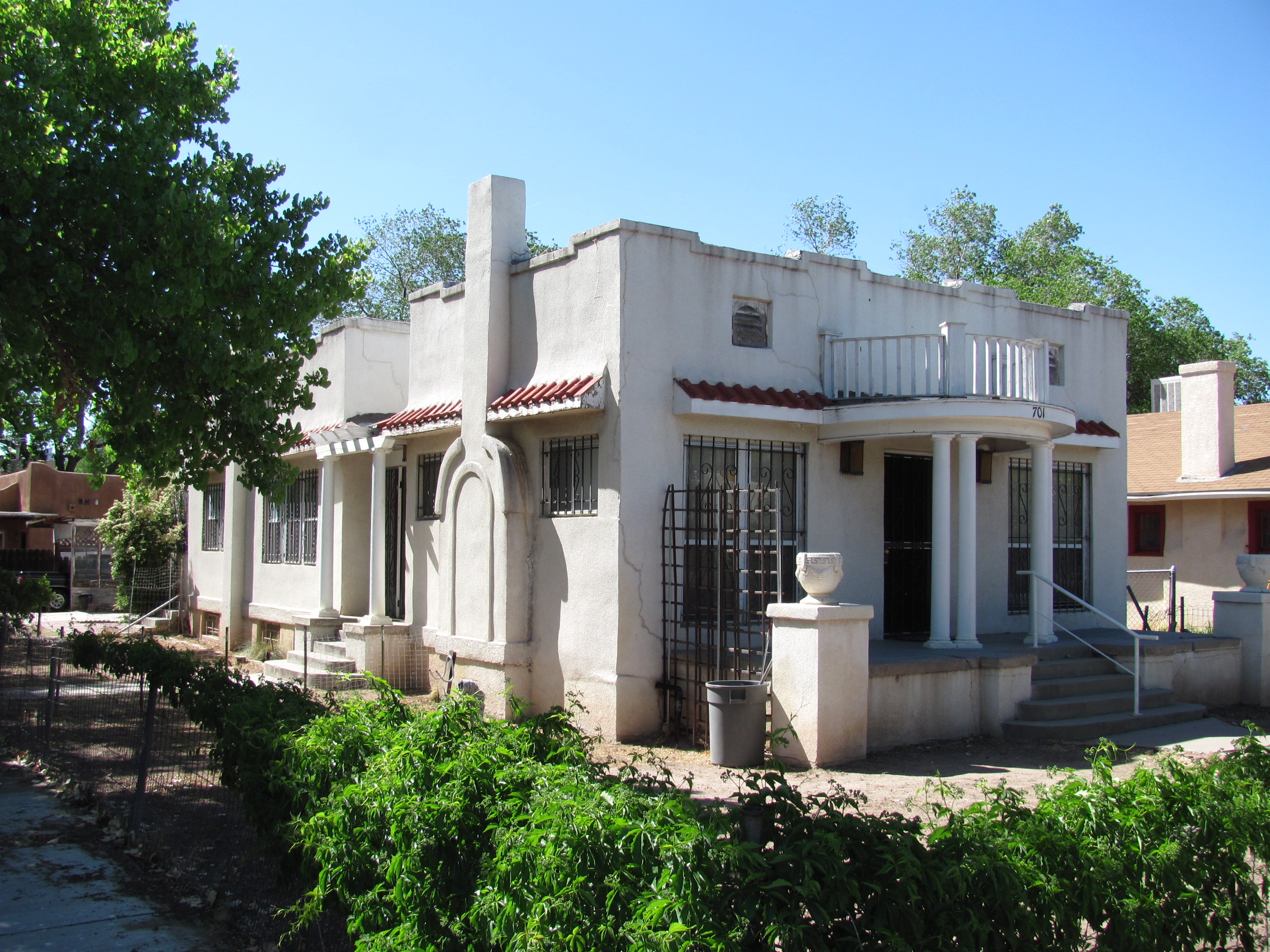
35°05′41″N 106°40′08″W / 35.094722°N 106.668889°WAlbuquerque 14 Building at 701 Roma NW 
February 28, 1985 701 Roma, NW.
35°05′23″N 106°39′14″W / 35.089722°N 106.653889°WAlbuquerque 15 Carlisle Gymnasium 
September 22, 1988 University of New Mexico campus, west of Yale Boulevard
35°05′01″N 106°37′19″W / 35.083611°N 106.621944°WAlbuquerque 16 Chester Carnes House 
December 1, 1980 701 13th St., NW.
35°05′38″N 106°39′36″W / 35.093889°N 106.66°WAlbuquerque 17 Castle Apartments 
February 13, 1986 1410 Central, SW.
35°05′17″N 106°39′50″W / 35.088056°N 106.663889°WAlbuquerque 18 Juan de Dios Chavez House February 9, 1984 205 Griegos Rd., NW.
35°07′42″N 106°37′58″W / 35.128333°N 106.632778°WAlbuquerque 19 Juan Chavez House February 9, 1984 7809 4th St., NW.
35°09′46″N 106°38′04″W / 35.162778°N 106.634444°WAlbuquerque 20 Rumaldo Chavez House November 24, 1980 10023 Edith Boulevard, NE.
35°11′35″N 106°36′11″W / 35.193056°N 106.603056°WAlbuquerque 21 Coronado School November 22, 1996 601 4th St., SW.
35°04′44″N 106°39′08″W / 35.078889°N 106.652222°WAlbuquerque 22 Cottage Bakery November 22, 1993 2000 Central Ave., SE.
35°04′51″N 106°37′25″W / 35.080833°N 106.623611°WAlbuquerque 23 Davis House 
November 17, 1980 704 Parkland Circle, SE.
35°04′11″N 106°36′10″W / 35.069722°N 106.602778°WAlbuquerque 24 De Anza Motor Lodge 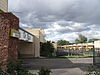
April 30, 2004 4301 Central Ave., NE.
35°04′48″N 106°35′44″W / 35.08°N 106.595556°WAlbuquerque 25 Tomasa Griego De Garcia House June 19, 1979 6939 Edith Boulevard, NE.
35°09′29″N 106°37′18″W / 35.158056°N 106.621667°WAlbuquerque 26 Robert Dietz Farmhouse 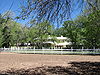
February 9, 1984 4117 Rio Grande Boulevard, NW.
35°08′23″N 106°40′04″W / 35.139722°N 106.667778°WAlbuquerque 27 Eighth Street-Forrester District December 1, 1980 Roughly bounded by Mountain Rd., Lomas Boulevard, and Forrester and 7th Sts.
35°05′37″N 106°39′17″W / 35.093611°N 106.654722°WAlbuquerque 28 El Campo Tourist Courts January 13, 1994 5800 Central Ave., SW.
35°04′52″N 106°42′10″W / 35.081111°N 106.702778°WAlbuquerque 29 El Vado Auto Court November 22, 1993 2500 Central Ave., SW.
35°05′39″N 106°40′36″W / 35.094167°N 106.676667°WAlbuquerque 30 Eller Apartments January 12, 1984 113-127 8th St., SW.
35°05′04″N 106°39′22″W / 35.084444°N 106.656111°WAlbuquerque 31 Employees' New Dormitory and Club July 26, 1982 Albuquerque Indian School campus
35°06′26″N 106°39′18″W / 35.107222°N 106.655°WAlbuquerque 32 Enchanted Mesa Trading Post 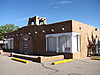
January 9, 1998 9612 Central Ave., SE.
35°04′15″N 106°32′25″W / 35.070833°N 106.540278°WAlbuquerque 33 Estufa 
September 22, 1988 Southeastern corner of University Boulevard and Grand Ave., University of New Mexico
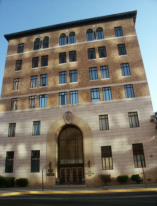
35°05′02″N 106°37′31″W / 35.083889°N 106.625278°WAlbuquerque 34 Federal Building 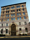
November 22, 1980 421 Gold Ave., SW.
35°05′02″N 106°39′08″W / 35.083889°N 106.652222°WAlbuquerque 35 First Methodist Episcopal Church November 7, 1976 3rd St. and Lead Ave.
35°04′52″N 106°39′02″W / 35.081111°N 106.650556°WAlbuquerque 36 First National Bank Building 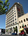
February 2, 1979 217-233 Central Ave., NW.
35°05′05″N 106°38′58″W / 35.084722°N 106.649444°WAlbuquerque 37 C. M. Foraker Farmhouse February 9, 1984 905 Menaul Boulevard, NW.
35°06′46″N 106°39′12″W / 35.112778°N 106.653333°WAlbuquerque 38 Fourth Ward District 
December 1, 1980 Roughly bounded by Central Ave., Lomas Boulevard, and 8th and 15th Sts.
35°05′26″N 106°39′27″W / 35.090556°N 106.6575°WAlbuquerque 39 Juan Antonio Garcia House September 28, 1982 7442 Edith Boulevard, NE.
35°09′48″N 106°37′05″W / 35.163333°N 106.618056°WAlbuquerque 40 James N. Gladding House 
November 17, 1980 643 Cedar St., NE.
35°05′17″N 106°37′50″W / 35.088056°N 106.630556°WAlbuquerque 41 Refugio Gomez House February 9, 1984 7604 Guadalupe Trail, NW.
35°10′13″N 106°38′22″W / 35.170278°N 106.639444°WAlbuquerque 42 Charles Grande House February 9, 1984 4317 Grande St., NW.
35°07′46″N 106°39′17″W / 35.129444°N 106.654722°WAlbuquerque 43 Delfinia Gurule House 
December 1, 1980 306 16th St., NW.
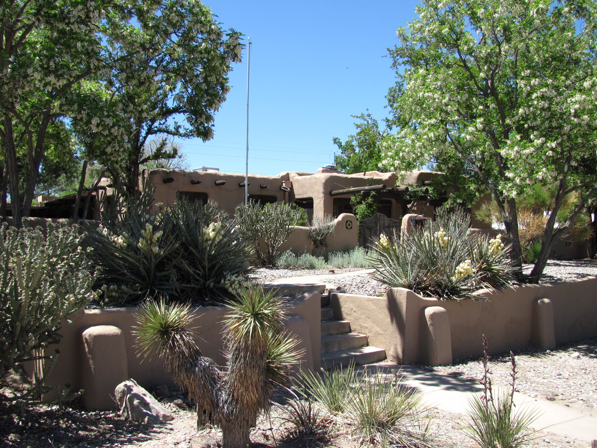
35°05′32″N 106°39′48″W / 35.092222°N 106.663333°WAlbuquerque 44 Harwood School 
December 1, 1980 1114 7th St., NW.
35°05′42″N 106°39′10″W / 35.095°N 106.652778°WAlbuquerque 45 A. W. Hayden House December 1, 1980 609 Marble St., NW.
35°05′37″N 106°39′07″W / 35.093611°N 106.651944°WAlbuquerque 46 Hendren Building 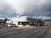
January 27, 2000 3001 Monte Vista Boulevard, NE.
35°05′00″N 106°36′43″W / 35.083333°N 106.611944°WAlbuquerque 47 Hilltop Lodge January 9, 1998 5410 Central Ave. SW.
35°04′56″N 106°41′47″W / 35.082222°N 106.696389°WAlbuquerque 48 Hodgin Hall 
January 30, 1978 University of New Mexico campus
35°04′54″N 106°37′29″W / 35.081667°N 106.624722°WAlbuquerque 49 Holy Child Church March 8, 1978 Off Interstate 40
35°04′47″N 106°23′23″W / 35.079722°N 106.389722°WTijeras 50 Hope Building 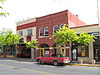
August 29, 1980 220 Gold St., SW.
35°04′27″N 106°38′58″W / 35.074167°N 106.649444°WAlbuquerque 51 Hudson House February 24, 1982 817 Gold Ave., SW.
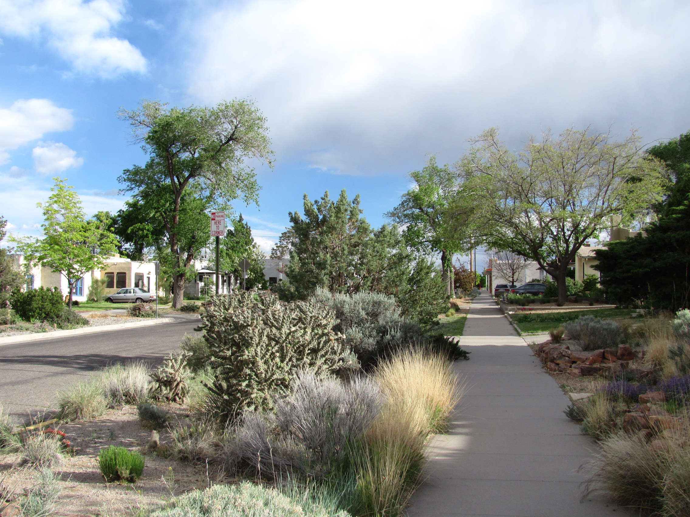
35°05′04″N 106°39′24″W / 35.084444°N 106.656667°WAlbuquerque 52 Huning Highlands Conoco Service Station 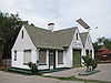
July 19, 2006 601 Coal Ave., SE.
35°04′52″N 106°38′30″W / 35.081111°N 106.641667°WAlbuquerque 53 Huning Highlands Historic District 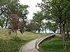
November 17, 1978 Bounded by Grand Ave., Interstate 25, Iron Ave., and the former Santa Fe railroad line
35°04′51″N 106°38′31″W / 35.080833°N 106.641944°WAlbuquerque 54 Immanuel Presbyterian Church February 22, 2011 114 Carlisle Boulevard SE
35°04′43″N 106°36′15″W / 35.078611°N 106.604167°WAlbuquerque Buildings Designed by John Gaw Meem MPS 55 Isleta Pueblo 
September 5, 1975 U.S. Route 85
34°54′31″N 106°41′30″W / 34.908611°N 106.691667°WIsleta Pueblo 56 Jones Motor Company 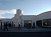
November 22, 1993 3226 Central Ave., SE.
35°04′38″N 106°37′09″W / 35.077222°N 106.619167°WAlbuquerque 57 Jonson Gallery and House 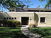
February 22, 2002 1909 Las Lomas Rd., NE.
35°05′13″N 106°37′15″W / 35.086944°N 106.620833°WAlbuquerque 58 Kimo Theater 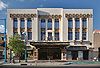
May 2, 1977 421 Central Ave.
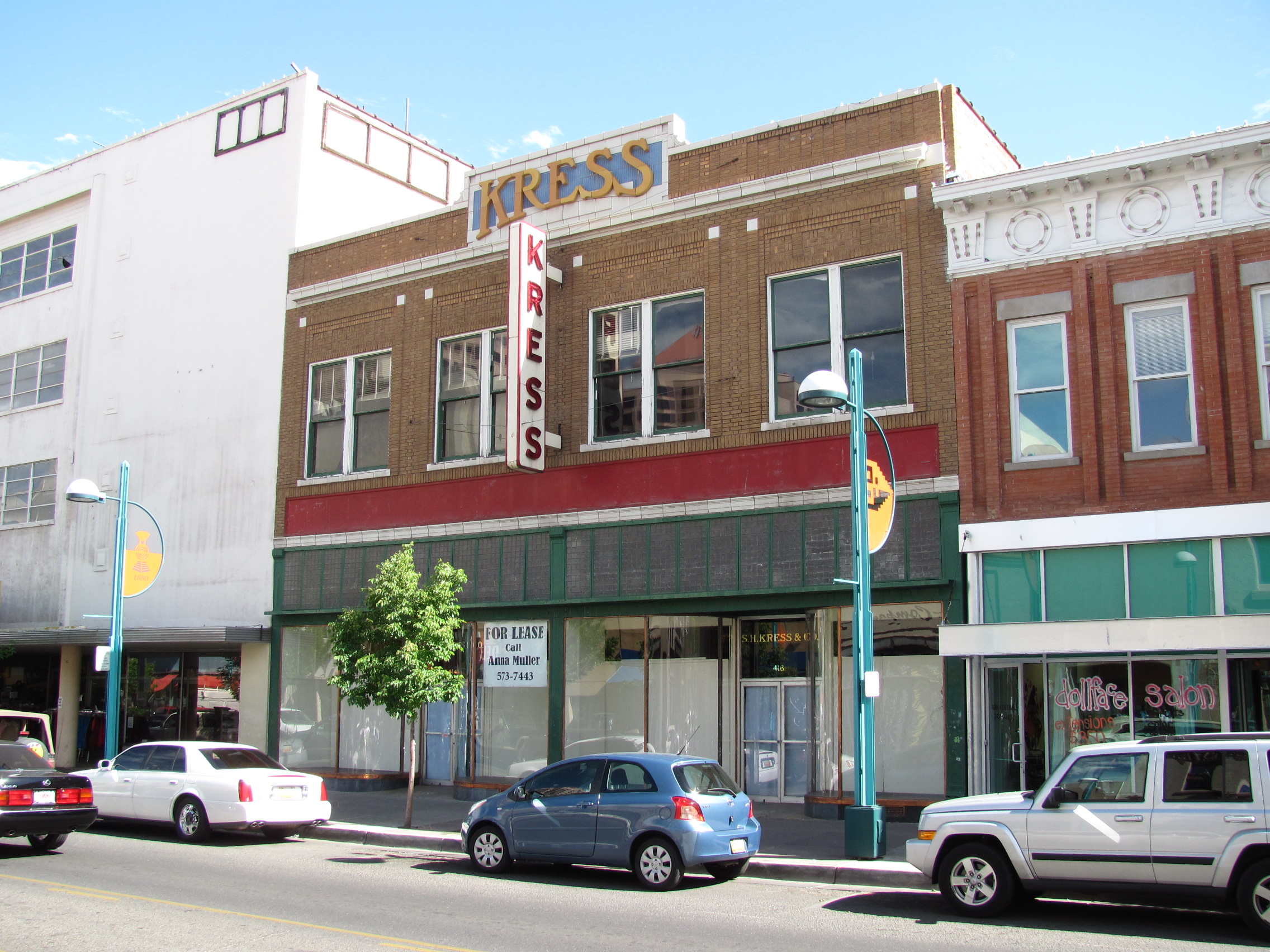
35°05′06″N 106°39′07″W / 35.085°N 106.651944°WAlbuquerque 59 S. H. Kress Building 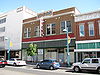
April 19, 1984 414-416 Central Ave., SW.
35°05′04″N 106°39′07″W / 35.084444°N 106.651944°WAlbuquerque 60 Kromer House October 4, 1982 1024 El Pueblo Rd., NW.
35°10′44″N 106°38′27″W / 35.178889°N 106.640833°WAlbuquerque 61 La Mesa Motel November 22, 1993 7407 Central Ave., NE.
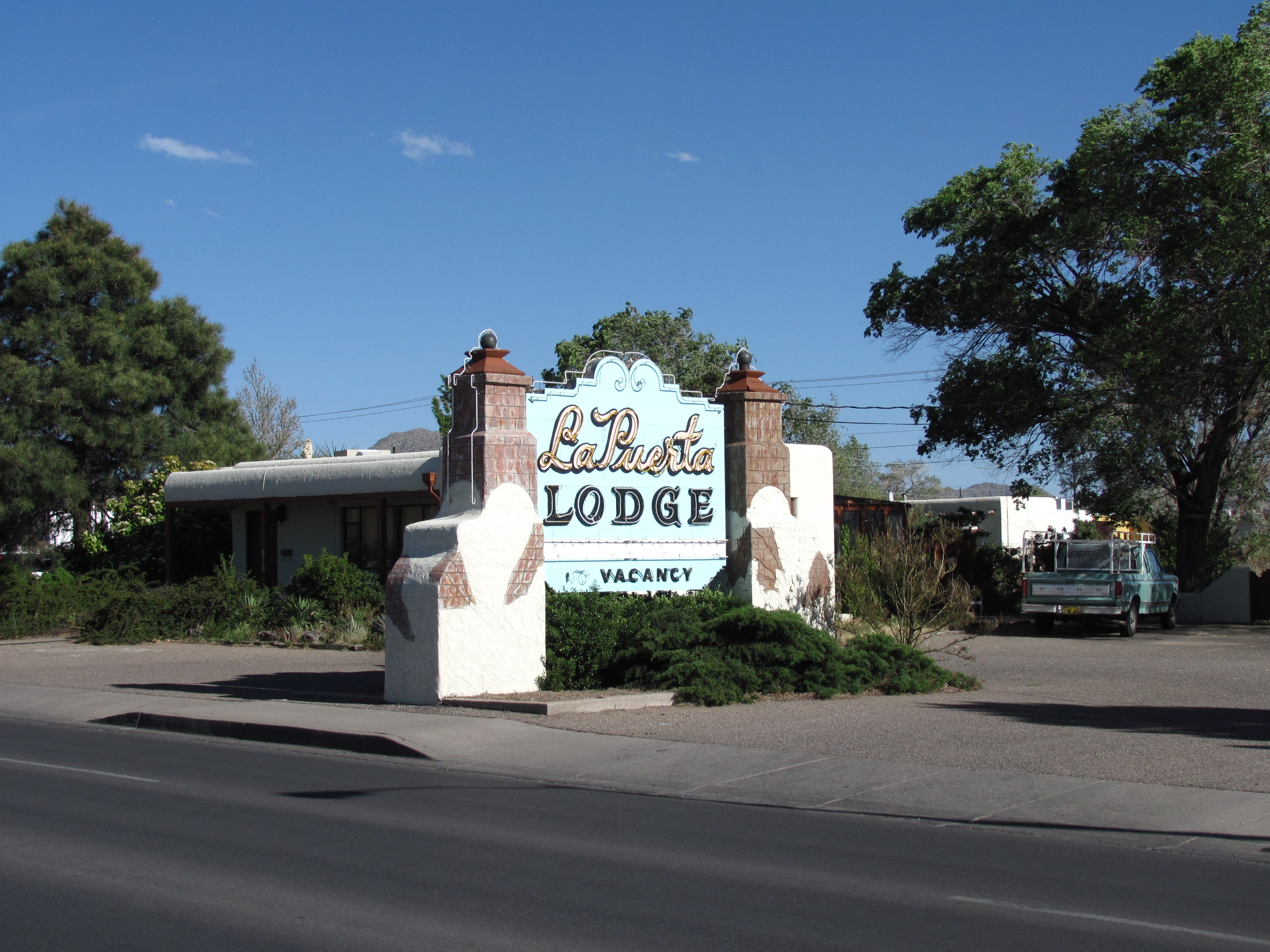
35°04′32″N 106°33′51″W / 35.075556°N 106.564167°WAlbuquerque 62 La Puerta Lodge 
January 9, 1998 9710 Central Ave., SE.
35°04′09″N 106°32′22″W / 35.069167°N 106.539444°WAlbuquerque 63 LaGlorieta House August 19, 1983 1801 Central Ave., NW.
35°05′34″N 106°39′56″W / 35.092778°N 106.665556°WAlbuquerque 64 Las Imagines Archeological District-Albuquerque West Mesa Escarpment November 19, 1986 Address Restricted Albuquerque 65 Charles LeFeber House December 1, 1980 313 5th St.
35°05′28″N 106°39′46″W / 35.091111°N 106.662778°WAlbuquerque 66 Lembke House November 25, 1980 312 St., SW.
35°05′18″N 106°40′02″W / 35.088333°N 106.667222°WAlbuquerque 67 William J. Leverett House 
February 13, 1986 301 Dartmouth, NE.
35°05′08″N 106°36′44″W / 35.085556°N 106.612222°WAlbuquerque 68 Charles W. Lewis Building July 3, 1979 1405-1407 2nd St., SW.
35°04′18″N 106°39′05″W / 35.071667°N 106.651389°WAlbuquerque 69 Hilario Lopez House 
December 1, 1980 208 16th St., NW.
35°05′28″N 106°39′48″W / 35.091111°N 106.663333°WAlbuquerque 70 Los Candelarias Chapel-San Antonio Chapel February 9, 1984 1934 Candelaria Rd., NW.
35°07′17″N 106°40′00″W / 35.121389°N 106.666667°WAlbuquerque 71 Los Duranes Chapel February 9, 1984 2601 Indian School Rd., NW.
35°06′39″N 106°40′28″W / 35.110833°N 106.674444°WAlbuquerque 72 Los Griegos Historic District February 9, 1984 Griegos Rd. and Rio Grande Boulevard
35°08′09″N 106°39′46″W / 35.135833°N 106.662778°WAlbuquerque 73 Los Poblanos Historic District May 27, 1982 State Road 194
35°08′46″N 106°40′05″W / 35.146111°N 106.668056°WLos Ranchos 74 Los Tomases Chapel February 9, 1984 3101 Los Tomases, NW.
35°06′56″N 106°38′55″W / 35.115556°N 106.648611°WAlbuquerque 75 Francisco Lucero y Montoya House February 9, 1984 9742 4th St., NW.
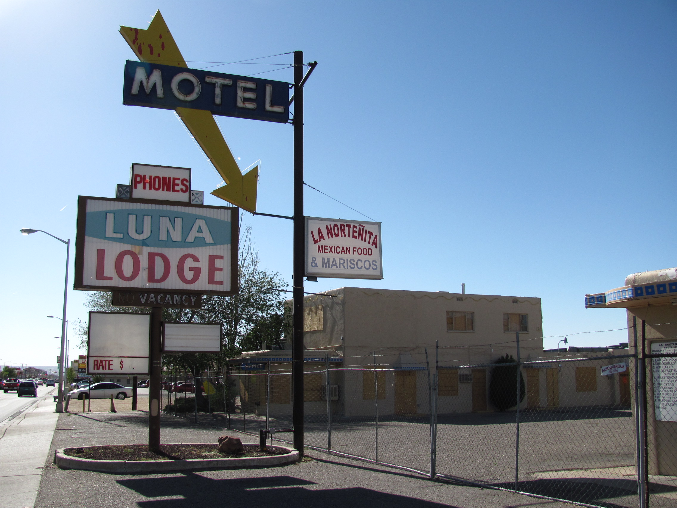
35°11′32″N 106°36′56″W / 35.192222°N 106.615556°WAlbuquerque 76 Luna Lodge 
June 11, 1998 9119 Central Ave., NE.
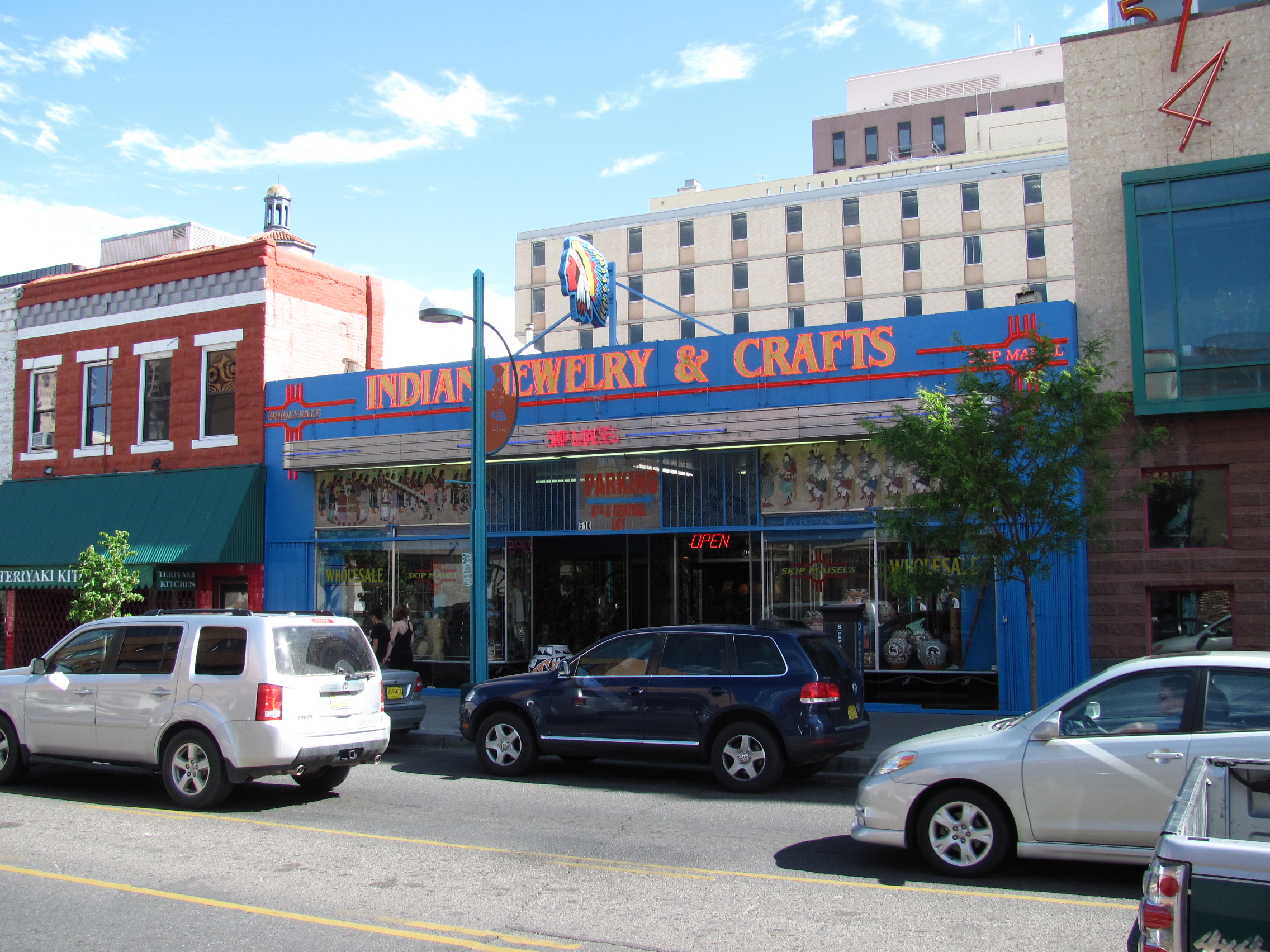
35°04′25″N 106°32′43″W / 35.073611°N 106.545278°WAlbuquerque 77 Maisel's Indian Trading Post 
November 22, 1993 510 Central Ave., SW.
35°05′04″N 106°39′10″W / 35.084444°N 106.652778°WAlbuquerque 78 Henry Mann House December 1, 1980 723 14th St., NW.
35°05′44″N 106°39′38″W / 35.095556°N 106.660556°WAlbuquerque 79 Manzano Court Addition Historic District 
October 14, 2004 1000-1025 Manzano Court, NW.
35°05′43″N 106°39′29″W / 35.095278°N 106.658056°WAlbuquerque 80 McCanna-Hubbell Building 
May 13, 1982 418-424 Central, SW.
35°05′04″N 106°39′07″W / 35.084444°N 106.651944°WAlbuquerque 81 Menaul School Historic District February 14, 1983 Roughly bounded by Broadway, Claremont, Edith, and Menaul Aves., and 301 Menaul Boulevard, NE.
35°06′44″N 106°38′14″W / 35.112222°N 106.637222°WAlbuquerque 82 John Milne House February 13, 1986 804 Park Ave., SW.
35°05′06″N 106°39′23″W / 35.085°N 106.656389°WAlbuquerque 83 Modern Auto Court 
November 22, 1993 3712 Central Ave., SE.
35°04′44″N 106°36′08″W / 35.078889°N 106.602222°WAlbuquerque 84 Monte Vista and College View Historic District 
August 3, 2001 Roughly bounded by Girard and Lomas Boulevards, Morningside Dr., Copper Ave., and Campus and Monte Vista Boulevards.
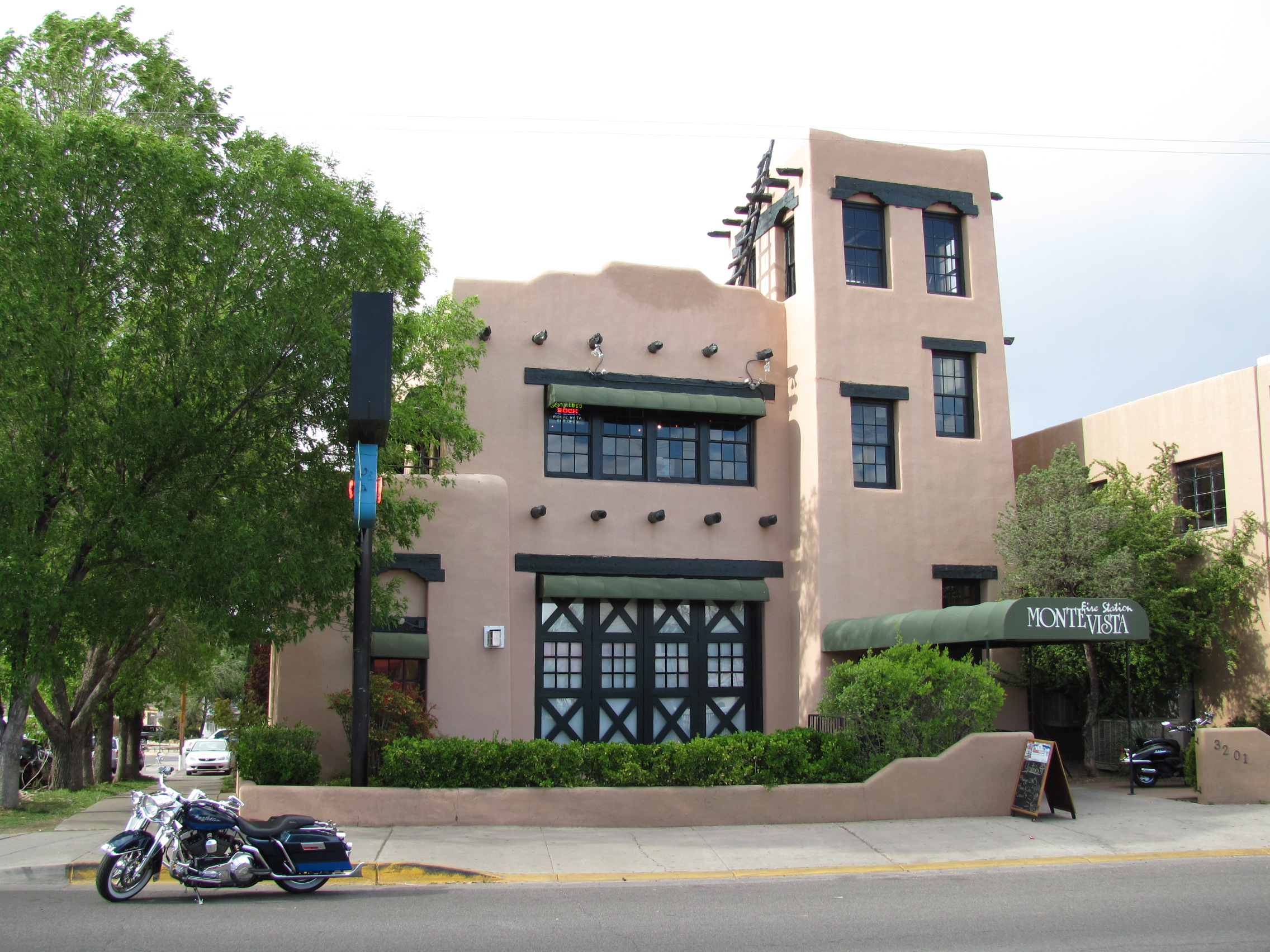
35°05′02″N 106°36′23″W / 35.083889°N 106.606389°WAlbuquerque 85 Monte Vista Fire Station 
March 19, 1987 3201 Centra Ave., NE.
35°04′51″N 106°36′31″W / 35.080833°N 106.608611°WAlbuquerque 86 Monte Vista School 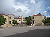
August 12, 1981 3211 Monte Vista Boulevard, NE.
35°04′58″N 106°36′35″W / 35.082778°N 106.609722°WAlbuquerque 87 National Humane Alliance Animal Fountain 
September 30, 1986 615 Virginia Ave., SE.
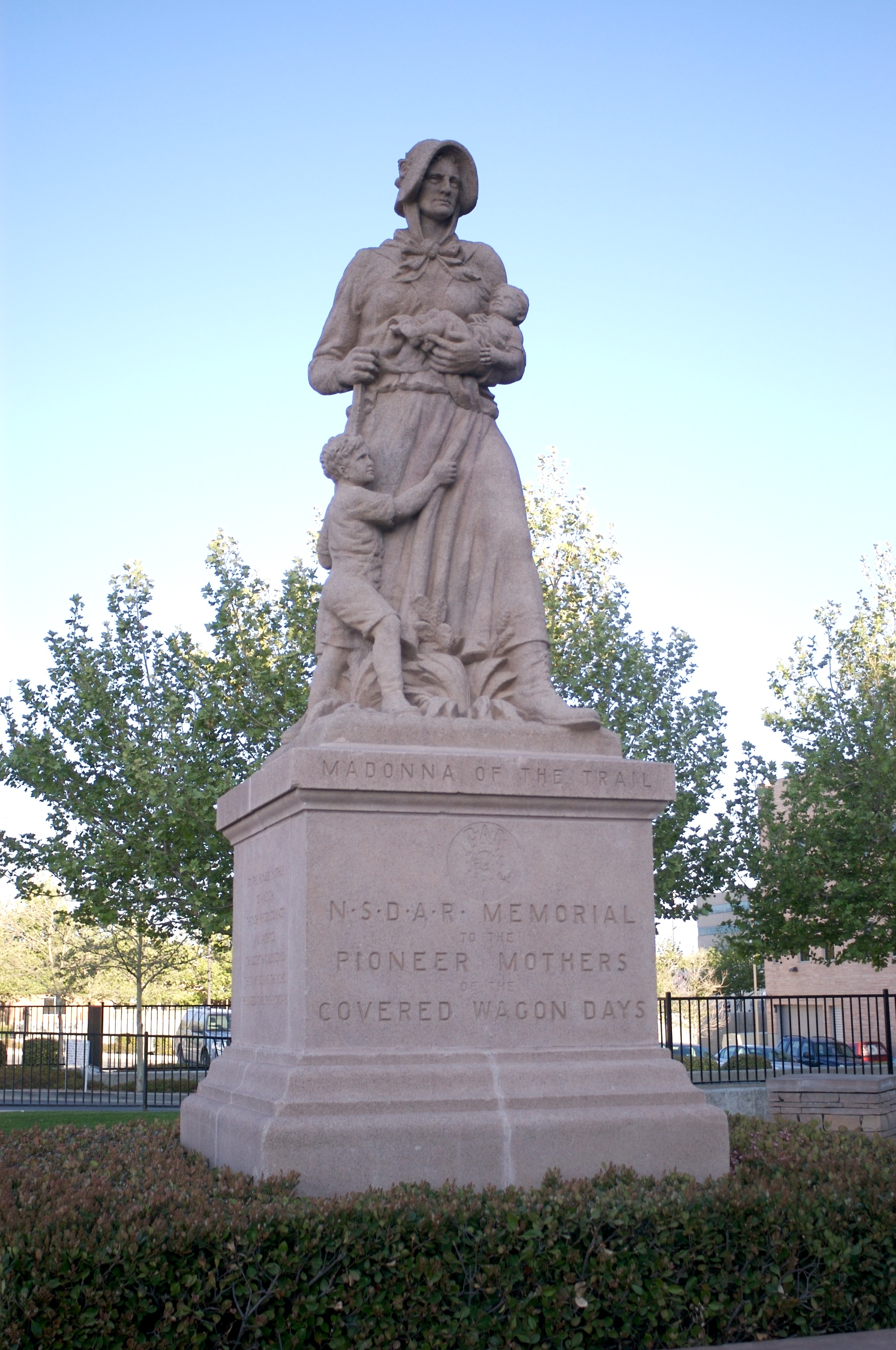
35°04′02″N 106°33′09″W / 35.067222°N 106.5525°WAlbuquerque 88 New Mexico Madonna of the Trail 
March 21, 2006 Junction of Marble Ave. and 4th St.
35°05′41″N 106°38′59″W / 35.094722°N 106.649722°WAlbuquerque 89 New Mexico-Arizona Wool Warehouse July 23, 1981 520 1st St., NW.
35°05′19″N 106°38′48″W / 35.088611°N 106.646667°WAlbuquerque 90 Newlander Apartments January 27, 2000 616 Coal Ave. SW
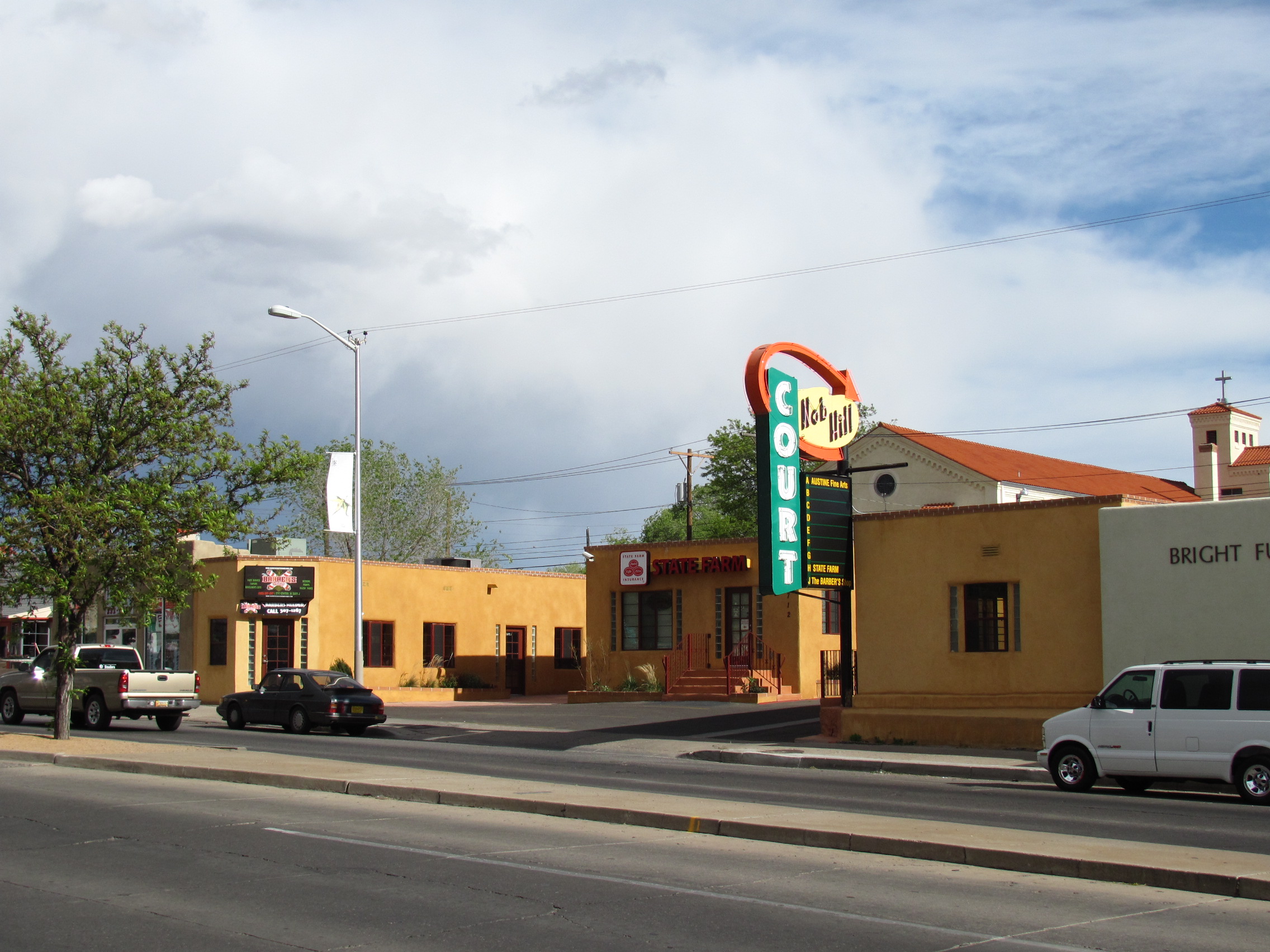
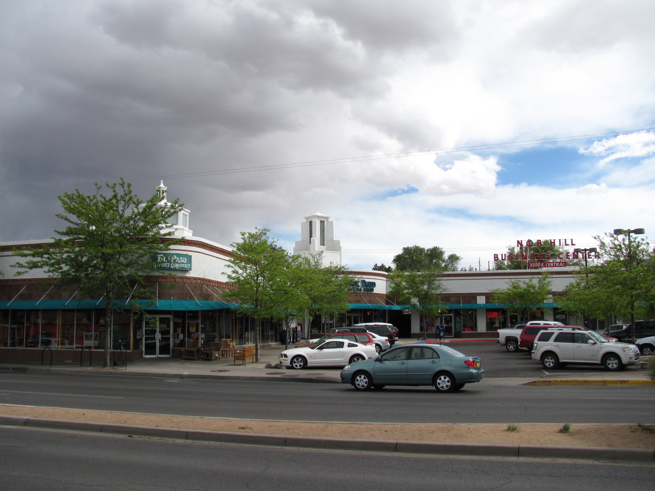
35°04′58″N 106°39′20″W / 35.082778°N 106.655556°WAlbuquerque 91 Nob Hill Business District 
March 18, 1994 3500 Central Ave., SE.
35°04′46″N 106°36′16″W / 35.079444°N 106.604444°WAlbuquerque 92 Robert Nordhaus House 
February 9, 1984 6900 Rio Grande Boulevard, NW.
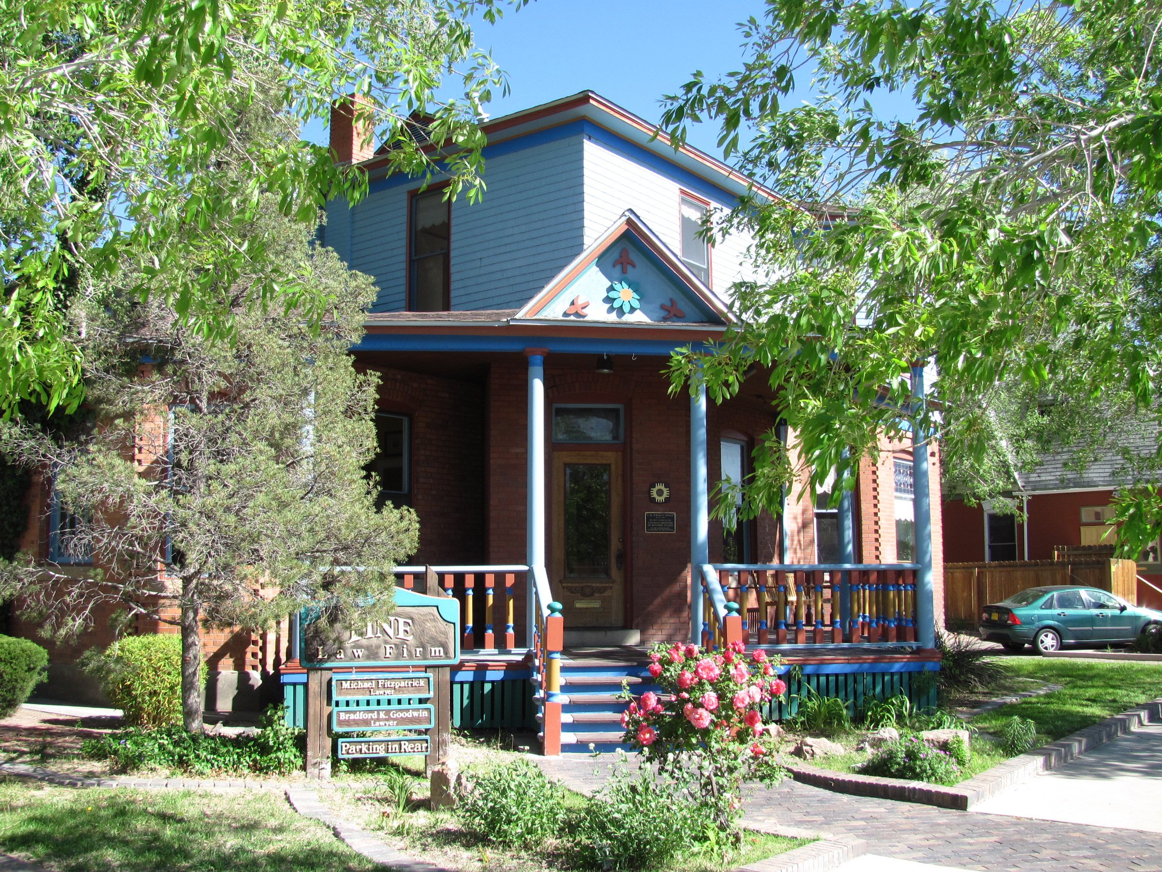
35°09′47″N 106°39′00″W / 35.163056°N 106.65°WAlbuquerque 93 J. H. O'Rielly House 
January 29, 1979 220 9th St., NW.
35°05′13″N 106°39′23″W / 35.086944°N 106.656389°WAlbuquerque 94 Occidental Life Building 
January 30, 1978 119 3rd Ave., SW.
35°05′01″N 106°39′01″W / 35.083611°N 106.650278°WAlbuquerque 95 Old Armijo School September 16, 1982 1021 Isleta Boulevard, SE.
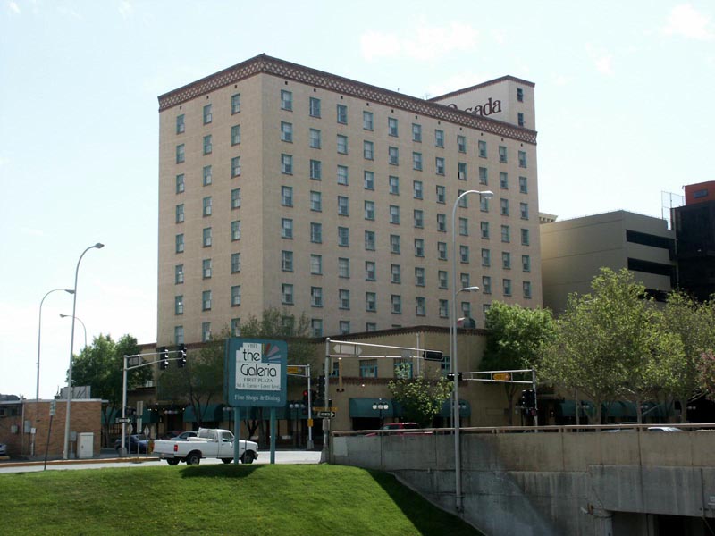
35°03′22″N 106°40′11″W / 35.056111°N 106.669722°WAlbuquerque 96 Old Hilton Hotel 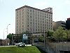
March 2, 1984 125 2nd St., NW.
35°05′06″N 106°38′56″W / 35.085°N 106.648889°WAlbuquerque 97 Old Post Office 
November 17, 1980 123 4th St., SW.
35°05′01″N 106°39′08″W / 35.083611°N 106.652222°WAlbuquerque 98 Our Lady of Mt. Carmel Church 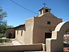
February 9, 1984 7813 Edith Boulevard, NE.
35°10′08″N 106°37′03″W / 35.168889°N 106.6175°WAlbuquerque 99 Our Lady of the Angels School 
November 29, 1984 320 Romero St., NW.
35°05′49″N 106°40′11″W / 35.096944°N 106.669722°WAlbuquerque 100 Pacific Desk Building September 30, 1980 213-215 Gold Ave., SW.
35°05′00″N 106°38′58″W / 35.083333°N 106.649444°WAlbuquerque 101 John Pearce House November 22, 1980 718 Central Ave., SW.
35°05′05″N 106°39′18″W / 35.084722°N 106.655°WAlbuquerque 102 Petroglyph National Monument 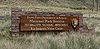
June 27, 1990 6001 Unser Boulevard, NW.
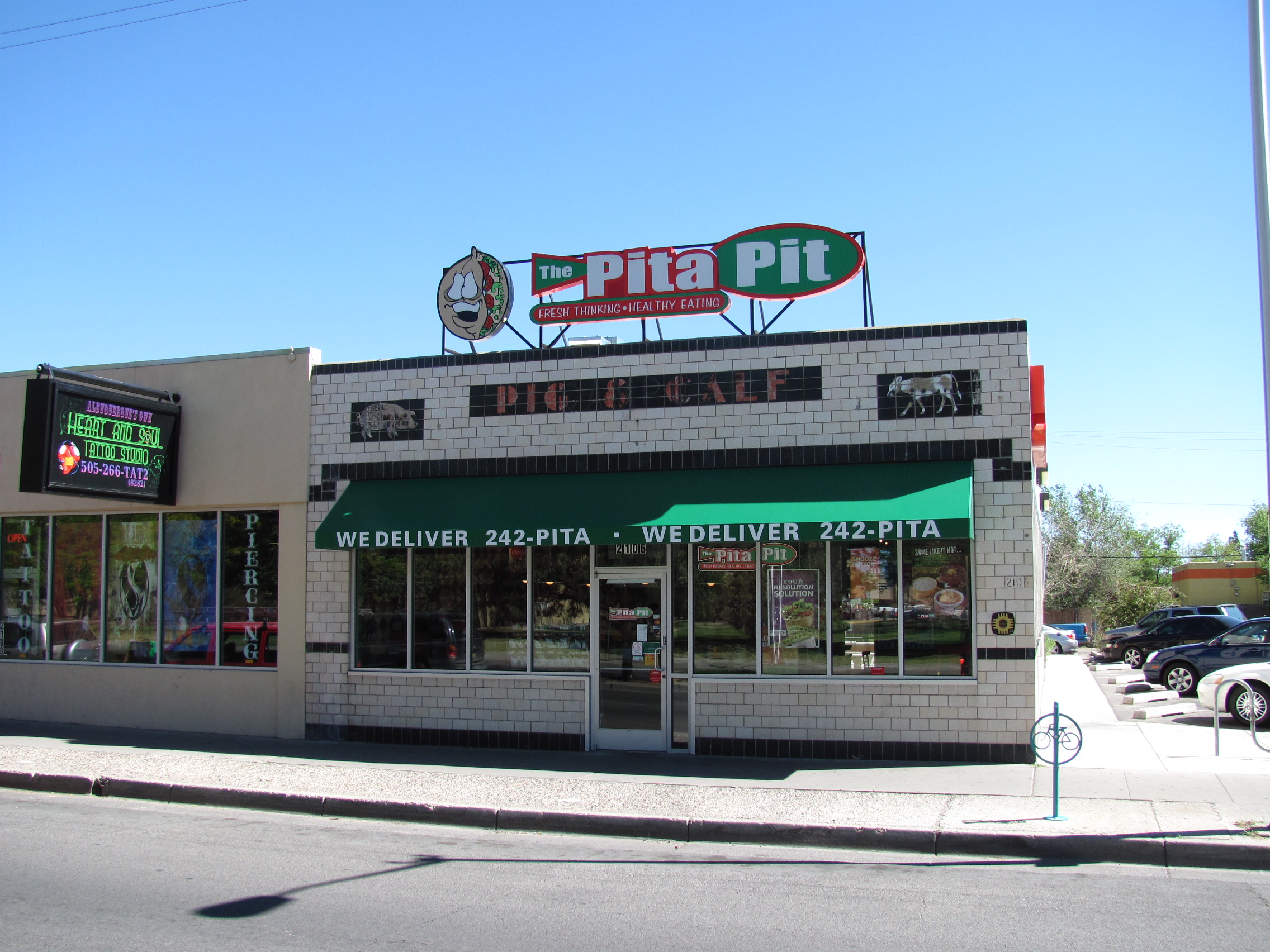
35°09′46″N 106°43′18″W / 35.162778°N 106.721667°WAlbuquerque 103 Piedras Marcadas Pueblo (LA 290) March 2, 1990 Address Restricted Albuquerque 104 Pig 'n Calf Lunch 
February 15, 1994 2106 Central Ave., SE.
35°04′51″N 106°37′21″W / 35.080833°N 106.6225°WAlbuquerque 105 President's House 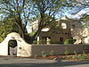
September 22, 1988 Northeastern corner of Roma Ave. and Yale Boulevard, University of New Mexico
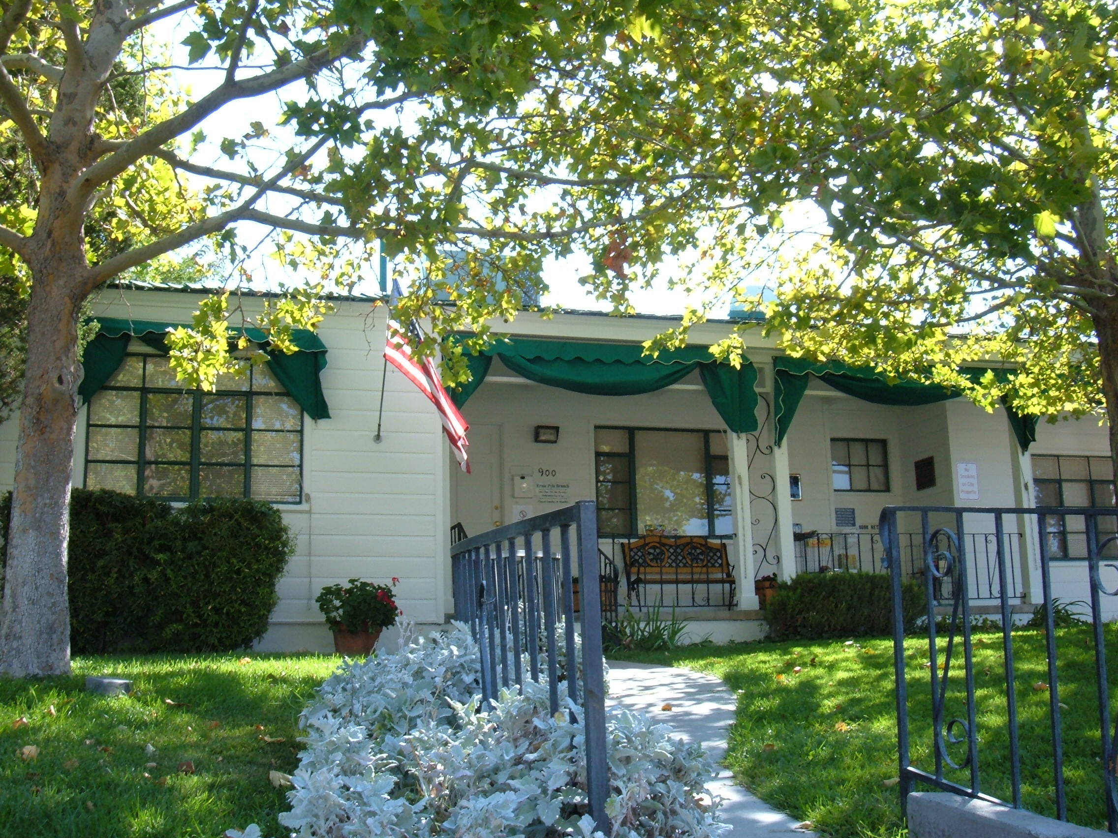
35°05′11″N 106°37′15″W / 35.086389°N 106.620833°WAlbuquerque Now called University House. 106 Ernie Pyle House 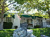
September 22, 1997 900 Girard Boulevard, SE.
35°04′13″N 106°36′45″W / 35.070278°N 106.6125°WAlbuquerque 107 Rancho de Carnue Site May 4, 1977 Address Restricted Albuquerque 108 Sara Raynolds Hall 
September 22, 1988 University of New Mexico campus on Terrace St., north of Central Ave.
35°04′53″N 106°37′24″W / 35.081389°N 106.623333°WAlbuquerque 109 Rio Puerco Bridge 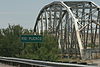
July 15, 1997 Interstate 40 over the Rio Puerco
35°02′00″N 106°56′29″W / 35.033333°N 106.941389°WAlbuquerque 110 Felipe Romero House February 9, 1984 7522 Edith Boulevard, NE.
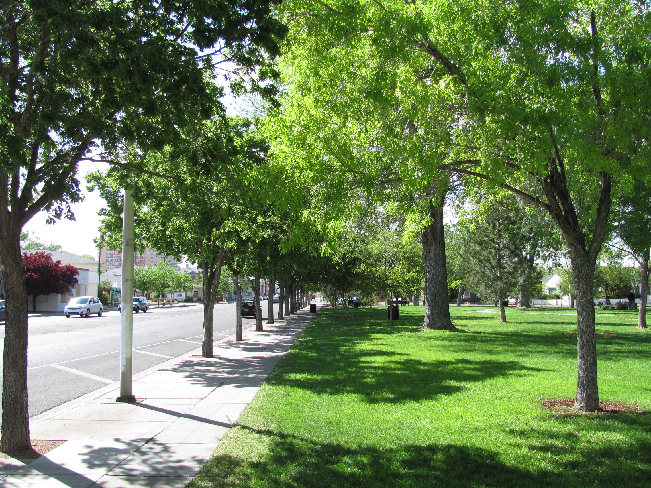
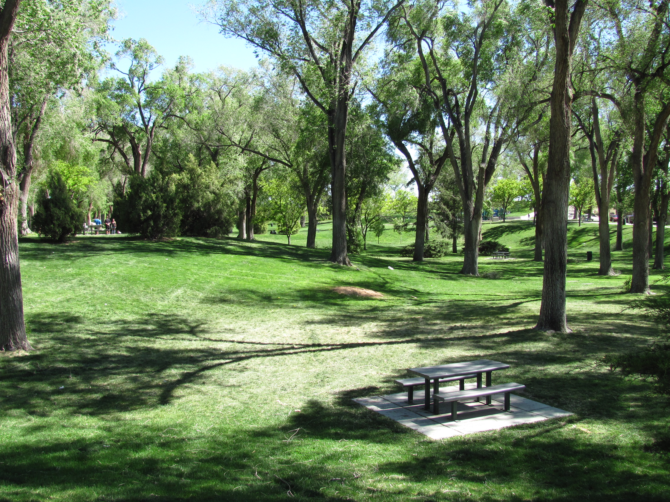
35°09′55″N 106°37′03″W / 35.165278°N 106.6175°WAlbuquerque 111 Roosevelt Park 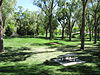
November 22, 1996 Junction of Coal and Spruce Aves., SE.
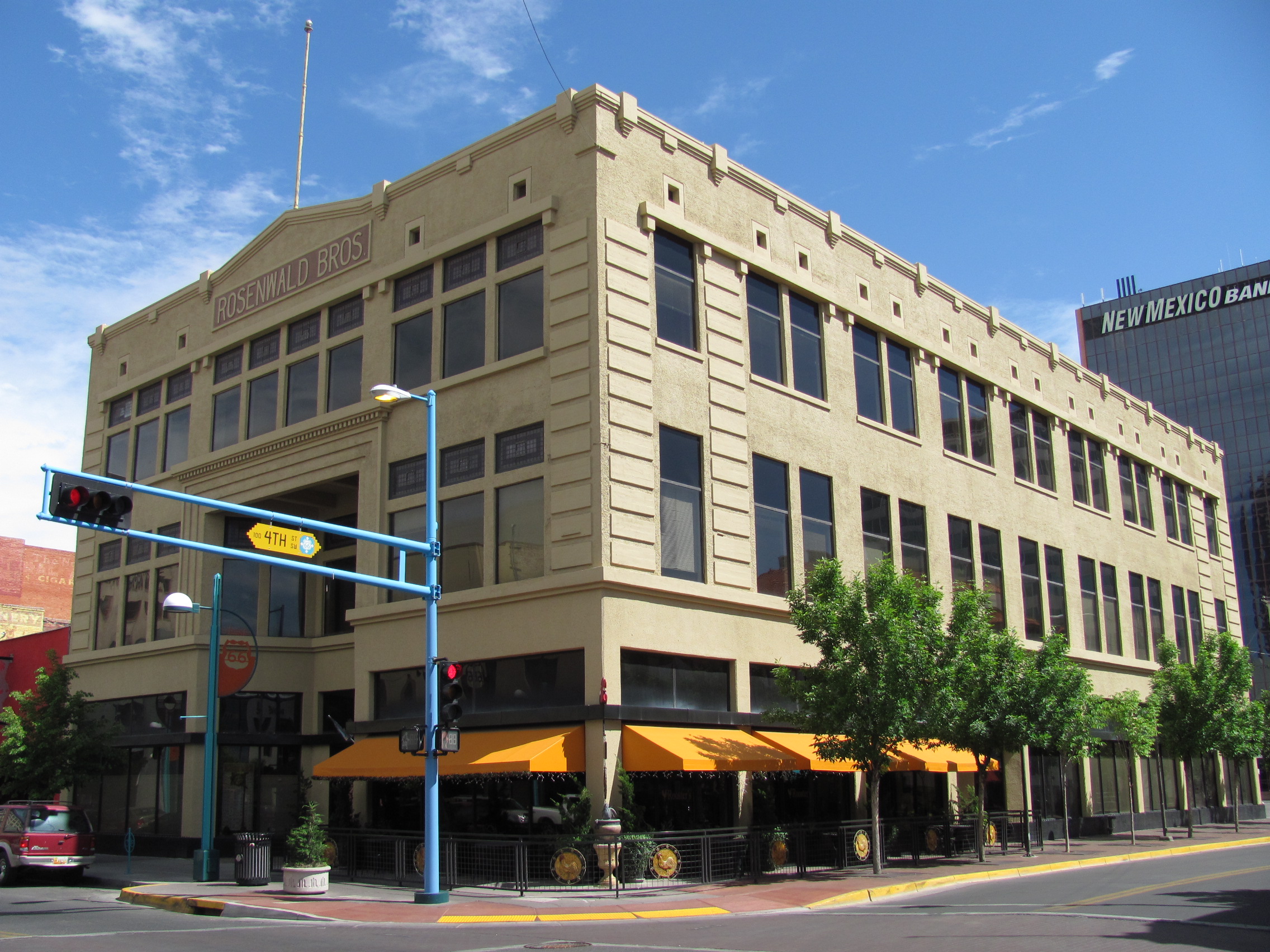
35°04′35″N 106°37′49″W / 35.076389°N 106.630278°WAlbuquerque 112 Rosenwald Building 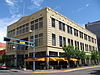
June 29, 1978 320 Central Ave., SW.
35°05′03″N 106°39′03″W / 35.084167°N 106.650833°WAlbuquerque 113 Route 66, State maintained from Albuquerque to Rio Puerco November 19, 1997 Former U.S. Route 66 west central exit at Interstate 40 to the Rio Puerco bridge
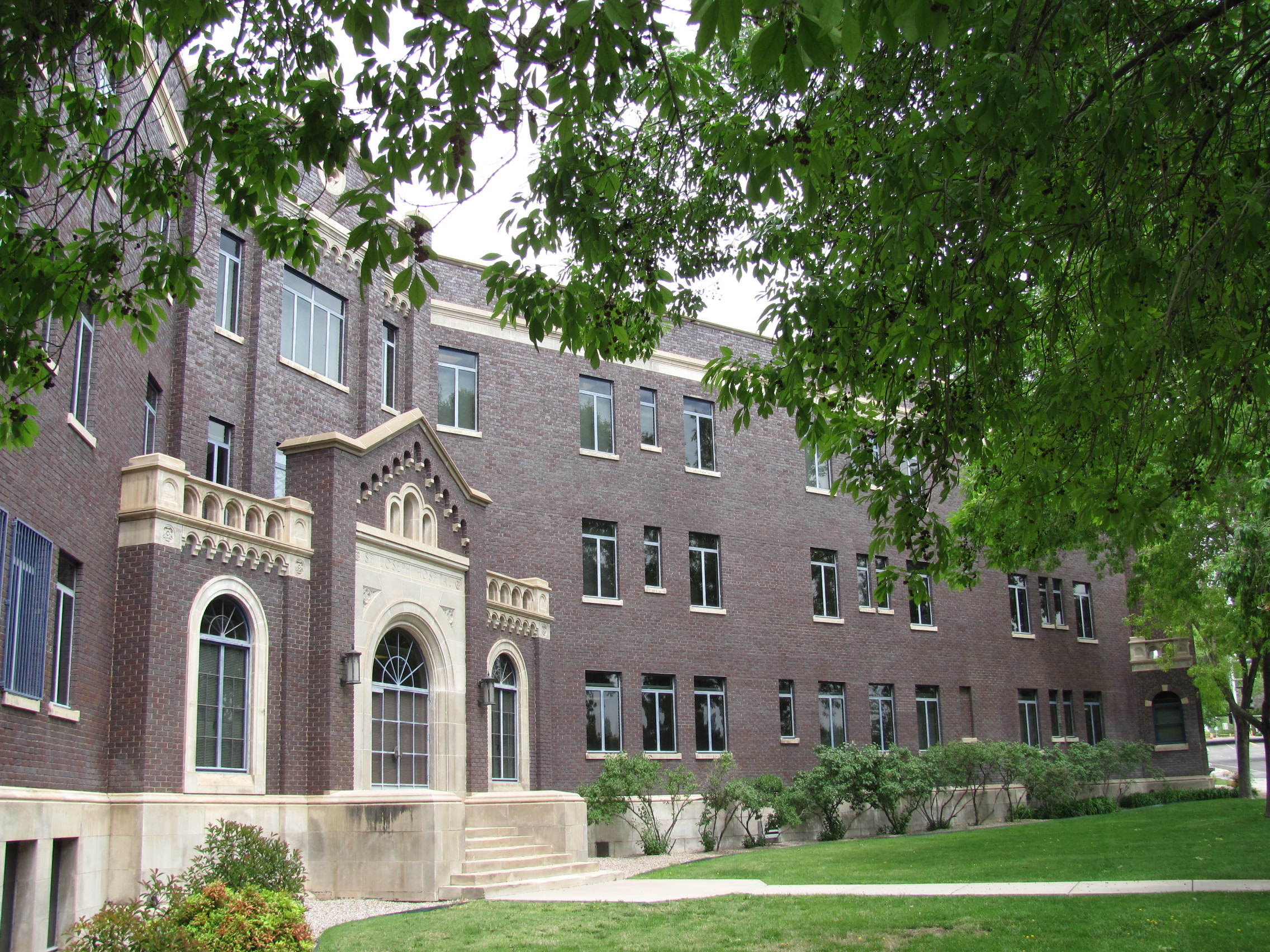
35°02′55″N 106°52′04″W / 35.048611°N 106.867778°WAlbuquerque 114 Saint Joseph 1930 Hospital 
May 27, 1982 715 Grand, NE.
35°05′09″N 106°38′18″W / 35.085833°N 106.638333°WAlbuquerque 115 San Antonito Church and Cemetery 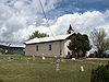
January 16, 1997 Northwestern corner of the junction of State Roads 14 and 536
35°09′50″N 106°20′46″W / 35.163889°N 106.346111°WSan Antonito 116 San Felipe de Neri Church 
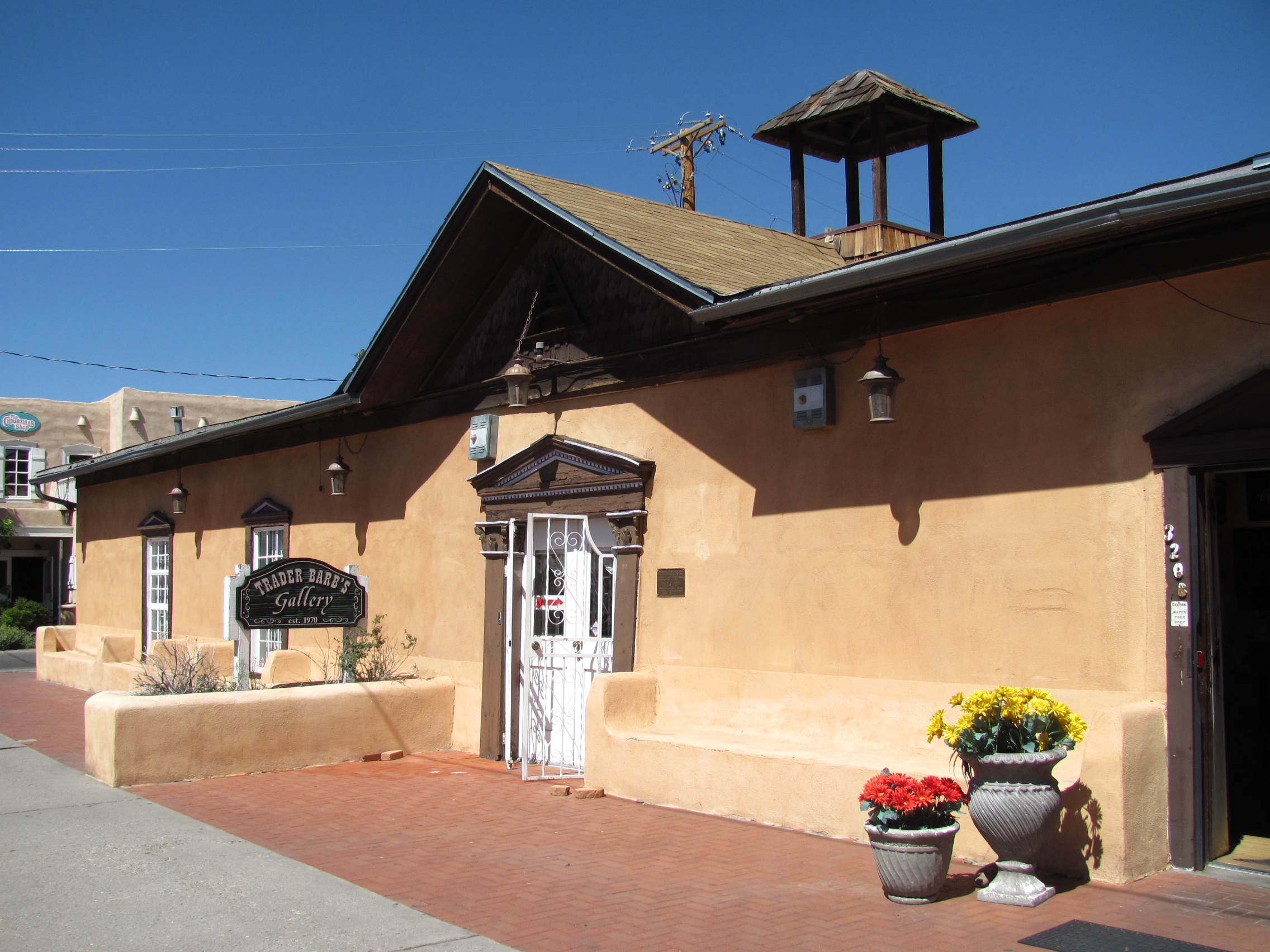
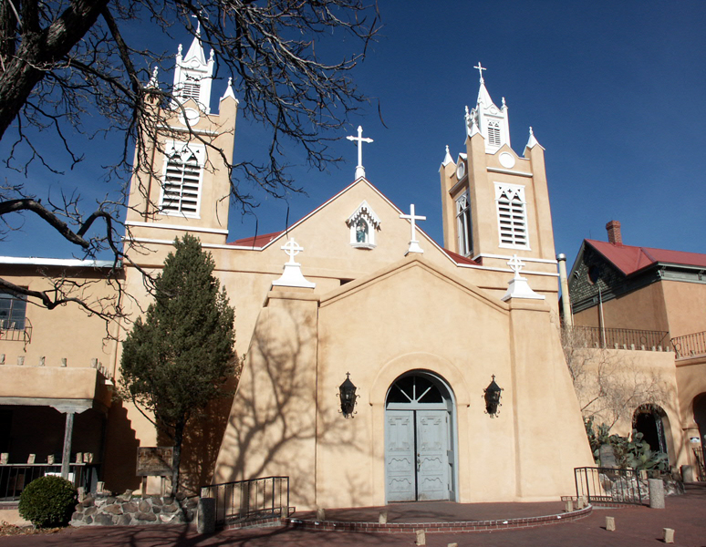
October 1, 1969 Old Town Plaza, NW.
35°05′47″N 106°40′09″W / 35.096389°N 106.669167°WAlbuquerque 117 San Ignacio Church August 21, 1979 1300 Walter St., NE.
35°05′43″N 106°38′15″W / 35.095278°N 106.6375°WAlbuquerque 118 Santa Barbara School September 28, 1989 1420 Edith Boulevard, NE.
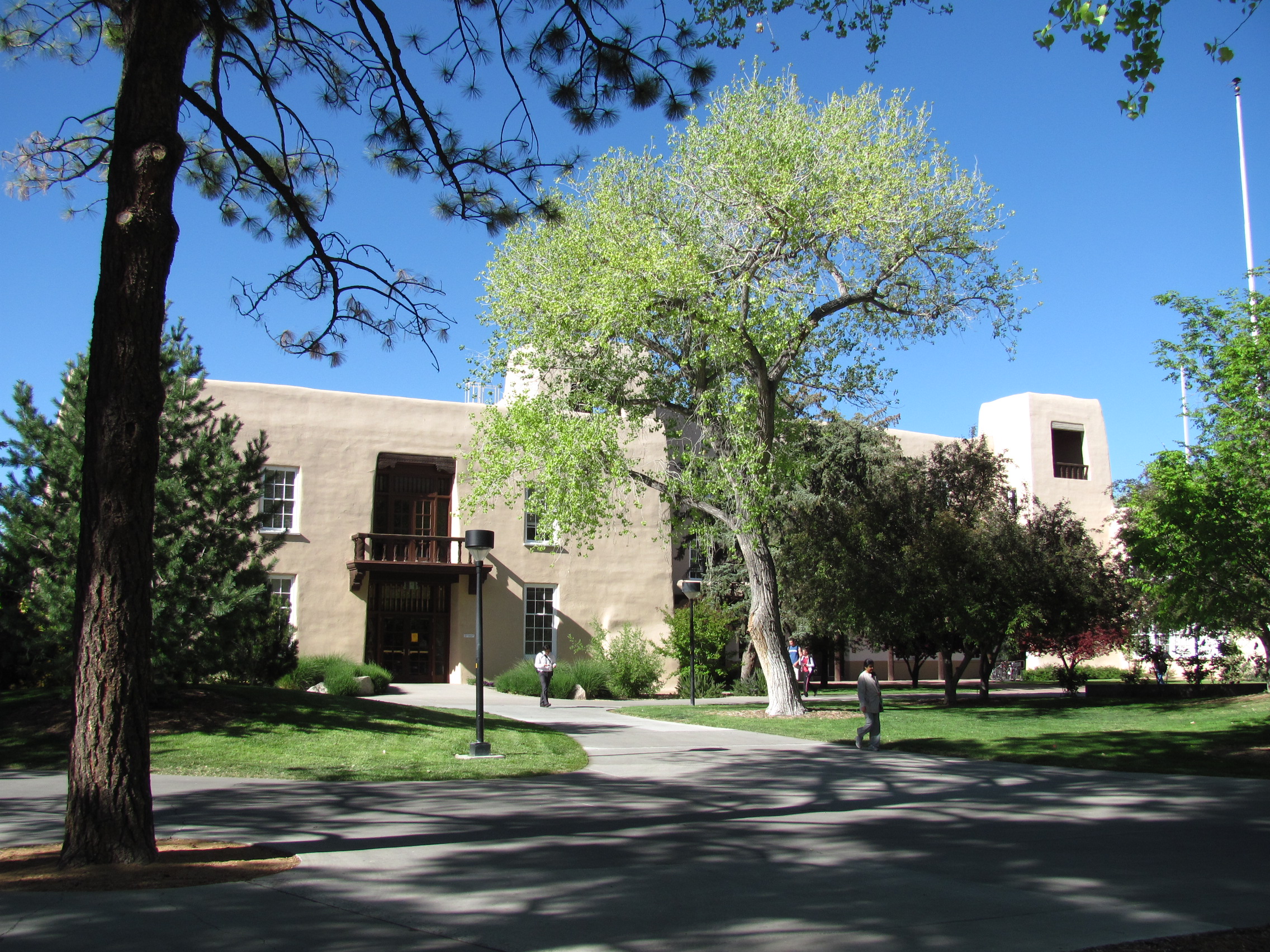
35°05′51″N 106°38′17″W / 35.0975°N 106.638056°WAlbuquerque 119 Scholes Hall 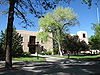
September 22, 1988 University of New Mexico campus, south of Roma Ave.
35°05′08″N 106°37′23″W / 35.085556°N 106.623056°WAlbuquerque 120 Second United Presbyterian Church December 6, 1984 812 Edith Boulevard, NE.
35°05′26″N 106°38′21″W / 35.090556°N 106.639167°WAlbuquerque 121 Samuel Shalit House February 9, 1984 5209 4th St., NW.
35°08′06″N 106°38′30″W / 35.135°N 106.641667°WAlbuquerque 122 Shoup Boardinghouse February 17, 1983 707 1st St., SW.
35°04′40″N 106°38′56″W / 35.077778°N 106.648889°WAlbuquerque 123 Silver Hill Historic District September 18, 1986 Roughly bounded by Central Ave., Yale Boulevard, Lead Ave., and Sycamore St.
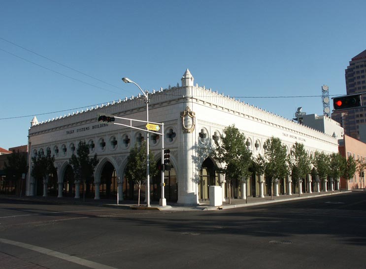
35°04′46″N 106°37′33″W / 35.079444°N 106.625833°WAlbuquerque 124 Simms Building 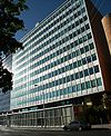
February 2, 1998 400 Gold Ave., SW.
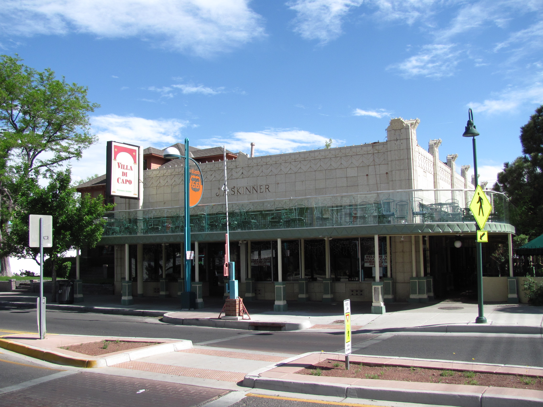
35°05′00″N 106°39′06″W / 35.083333°N 106.651667°WAlbuquerque 125 Skinner Building 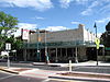
November 22, 1980 722-724 Central Ave. and 108 8th St., SW.
35°05′06″N 106°39′20″W / 35.085°N 106.655556°WAlbuquerque 126 Solar Building 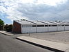
October 10, 1989 213 Truman St., NE.
35°04′51″N 106°35′13″W / 35.080833°N 106.586944°WAlbuquerque 127 Southern Union Gas Company Building March 31, 2004 723 Silver Ave., SW.
35°05′06″N 106°39′23″W / 35.085°N 106.656389°WAlbuquerque 128 Southwestern Brewery and Ice Company 
March 30, 1978 601 Commercial St., NE.
35°05′20″N 106°38′42″W / 35.088889°N 106.645°WAlbuquerque 129 Berthold Spitz House December 22, 1977 323 N. 10th St.
35°05′19″N 106°39′28″W / 35.088611°N 106.657778°WAlbuquerque 130 Springer Building November 18, 1980 121 Tijeras Ave., NE.
35°05′09″N 106°38′43″W / 35.085833°N 106.645278°WAlbuquerque 131 Spruce Park Historic District July 6, 1982 Roughly bounded by University Boulevard, Grand Ave., Las Lomas Rd., and Cedar St.
35°05′13″N 106°37′48″W / 35.086944°N 106.63°WAlbuquerque 132 Superintendent's House, Atlantic & Pacific Railroad January 20, 1978 1023 S. 2nd St.
35°04′29″N 106°39′03″W / 35.074722°N 106.650833°WAlbuquerque 133 Domingo Tafoya House November 17, 1980 10021 Edith Boulevard, NE.
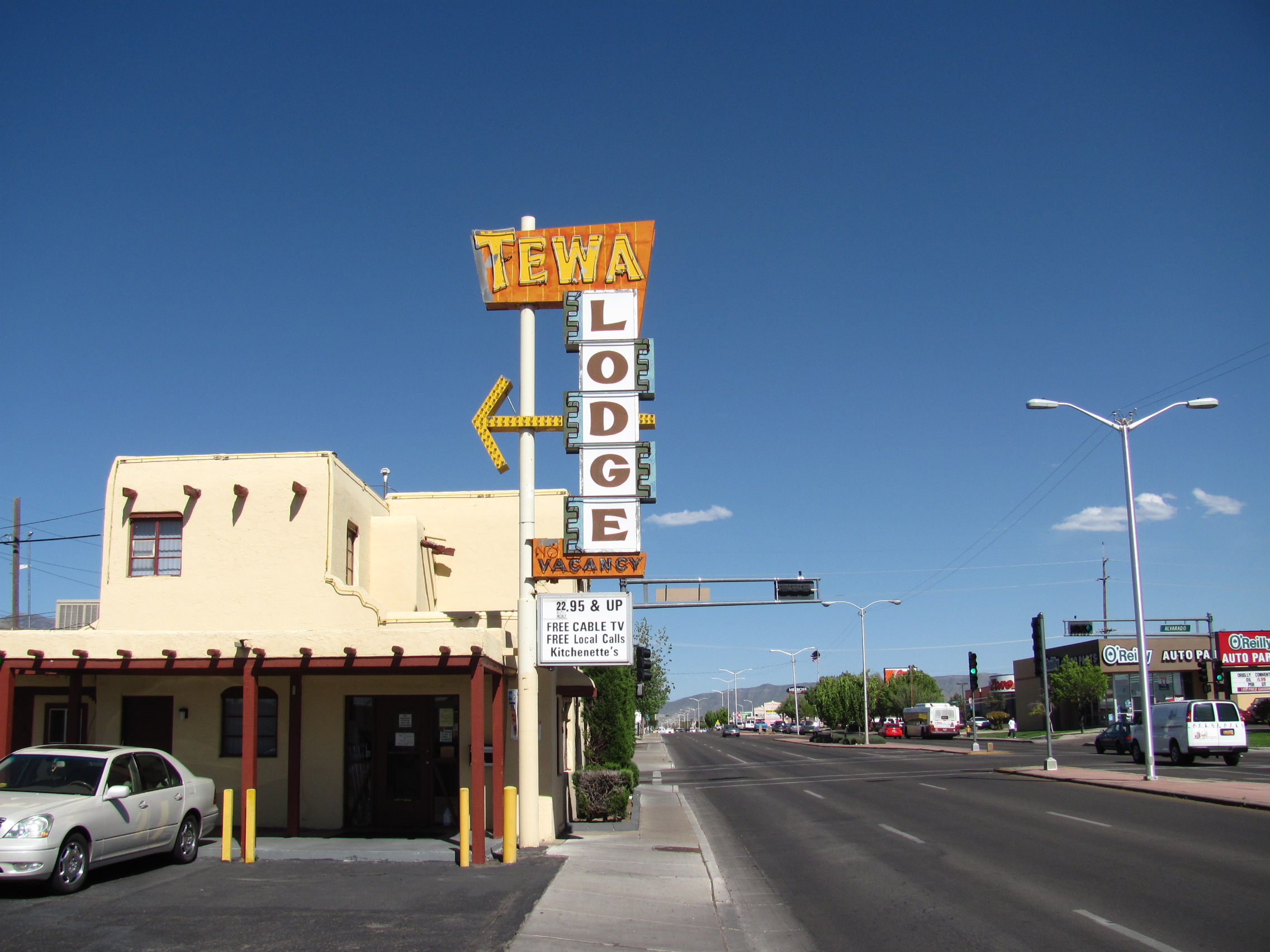
35°11′35″N 106°36′12″W / 35.193056°N 106.603333°WAlameda 134 Tewa Lodge 
June 11, 1998 5715 Central Ave. NE.
35°04′40″N 106°34′53″W / 35.077778°N 106.581389°WAlbuquerque 135 Tijeras Pueblo Archeological Site 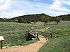
November 17, 2005 South of central Tijeras off State Road 337
35°04′30″N 106°23′00″W / 35.075°N 106.383333°WTijeras 136 Tower Courts November 22, 1993 2210 Central Ave., SW.
35°05′42″N 106°40′26″W / 35.095°N 106.673889°WAlbuquerque 137 Antonio Vigil House 
May 5, 1978 413 Romero St.
35°05′52″N 106°40′12″W / 35.097778°N 106.67°WAlbuquerque 138 Washington Apartments February 19, 1982 1002-1008 Central Ave., SW.
35°05′11″N 106°39′31″W / 35.086389°N 106.658611°WAlbuquerque 139 Werner-Gilchrist House 
August 2, 1982 202 Cornell, SE.
35°04′44″N 106°37′07″W / 35.078889°N 106.618611°WAlbuquerque 140 West San Jose School November 22, 1996 1701 4th St., SW.
35°04′06″N 106°39′06″W / 35.068333°N 106.651667°WAlbuquerque 141 J. R. Willis House and La Miradora Apartments September 1, 2005 310 Rio Grande Boulevard, SE.
35°05′36″N 106°40′16″W / 35.093333°N 106.671111°WAlbuquerque 142 Charles Zeiger House April 27, 1984 3200 Edith Boulevard, NE.
35°07′02″N 106°38′01″W / 35.117222°N 106.633611°WAlbuquerque See also
- List of National Historic Landmarks in New Mexico
- National Register of Historic Places listings in New Mexico
References
- ^ The latitude and longitude information provided in this table was derived originally from the National Register Information System, which has been found to be fairly accurate for about 99% of listings. For about 1% of NRIS original coordinates, experience has shown that one or both coordinates are typos or otherwise extremely far off; some corrections may have been made. A more subtle problem causes many locations to be off by up to 150 yards, depending on location in the country: most NRIS coordinates were derived from tracing out latitude and longitudes off of USGS topographical quadrant maps created under North American Datum of 1927, which differs from the current, highly accurate GPS system used by Google maps. Chicago is about right, but NRIS longitudes in Washington are higher by about 4.5 seconds, and are lower by about 2.0 seconds in Maine. Latitudes differ by about 1.0 second in Florida. Some locations in this table may have been corrected to current GPS standards.
- ^ "National Register of Historic Places: Weekly List Actions". National Park Service, United States Department of the Interior. Retrieved on November 10, 2011.
- ^ Numbers represent an ordering by significant words. Various colorings, defined here, differentiate National Historic Landmark sites and National Register of Historic Places Districts from other NRHP buildings, structures, sites or objects.
- ^ "National Register Information System". National Register of Historic Places. National Park Service. . http://nrhp.focus.nps.gov/natreg/docs/All_Data.html.
U.S. National Register of Historic Places Topics Lists by states Alabama • Alaska • Arizona • Arkansas • California • Colorado • Connecticut • Delaware • Florida • Georgia • Hawaii • Idaho • Illinois • Indiana • Iowa • Kansas • Kentucky • Louisiana • Maine • Maryland • Massachusetts • Michigan • Minnesota • Mississippi • Missouri • Montana • Nebraska • Nevada • New Hampshire • New Jersey • New Mexico • New York • North Carolina • North Dakota • Ohio • Oklahoma • Oregon • Pennsylvania • Rhode Island • South Carolina • South Dakota • Tennessee • Texas • Utah • Vermont • Virginia • Washington • West Virginia • Wisconsin • WyomingLists by territories Lists by associated states Other Municipalities and communities of Bernalillo County, New Mexico Cities 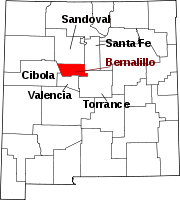
Villages CDPs Unincorporated
communitiesCarpenter | Isleta Pueblo | Zuzax
Indian reservations Footnotes ‡This populated place also has portions in an adjacent county or counties
Categories:- National Register of Historic Places in New Mexico by county
- Bernalillo County, New Mexico
- History of Bernalillo County, New Mexico
-


Wikimedia Foundation. 2010.