- National Register of Historic Places listings in Eddy County, New Mexico
-
 Location of Eddy County in New Mexico
This is a list of the National Register of Historic Places listings in Eddy County, New Mexico.
This is intended to be a complete list of the properties and districts on the National Register of Historic Places in Eddy County, New Mexico, United States. Latitude and longitude coordinates are provided for many National Register properties and districts; these locations may be seen together in a Google map.[1]
There are 26 properties and districts listed on the National Register in the county, including 1 National Historic Landmark.
-
- This National Park Service list is complete through NPS recent listings posted November 10, 2011.[2]
Contents: Counties in New Mexico Bernalillo – Catron – Chaves – Cibola – Colfax – Curry – De Baca – Doña Ana – Eddy – Grant – Guadalupe – Harding – Hidalgo – Lea – Lincoln – Los Alamos – Luna – McKinley – Mora – Otero – Quay – Rio Arriba – Roosevelt – San Juan – San Miguel – Sandoval – Santa Fe – Sierra – Socorro – Taos – Torrance – Union – Valencia Current listings
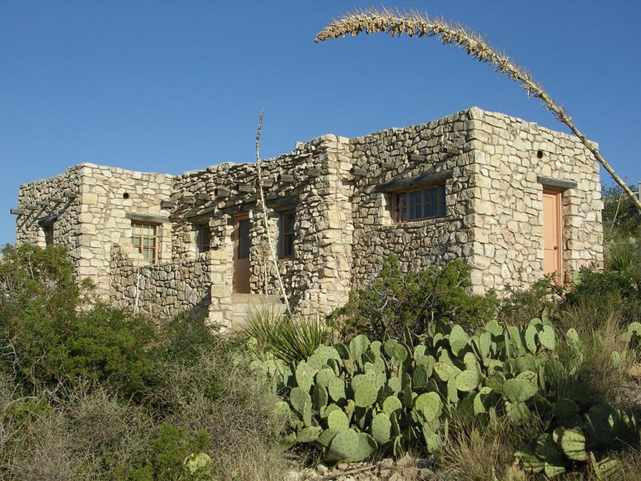
[3] Landmark name [4] Image Date listed Location City or town Summary 1 Abo Elementary School and Fallout Shelter 
September 29, 1999 1802 Center Ave.
32°49′57″N 104°25′09″W / 32.8325°N 104.419167°WArtesia 2 John Acord House March 2, 1984 W. Main St.
32°50′31″N 104°24′21″W / 32.841944°N 104.405833°WArtesia 3 Archeological Site No. AR 03-08-03-195 November 24, 1995 Address Restricted Queen 4 Archeological Site No. AR-03-08-03-232 November 24, 1995 Address Restricted Queen 5 Willie D. Atkeson House March 2, 1984 303 W. Grand Ave.
32°50′19″N 104°23′52″W / 32.838611°N 104.397778°WArtesia 6 Baskin Building July 18, 1990 332 W. Main St.
32°50′33″N 104°24′01″W / 32.8425°N 104.400278°WArtesia 7 William Baskin House March 2, 1984 811 W. Quay Ave.
32°50′27″N 104°24′24″W / 32.840833°N 104.406667°WArtesia 8 Carlsbad Irrigation District 
October 15, 1966 North of Carlsbad Carlsbad 9 The Caverns Historic District 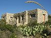
August 18, 1988 End of State Road 7
32°10′37″N 104°26′31″W / 32.176944°N 104.441944°WCarlsbad 10 Dam-Sitting Bull Falls Recreation Area December 23, 1993 Sitting Bull Falls in the Lincoln National Forest
32°14′42″N 104°41′42″W / 32.245°N 104.695°WCarlsbad 11 Dark Canyon Apache Rancheria-Military Battle Site February 15, 2002 Address Restricted Queen 12 First National Bank of Eddy December 12, 1976 303 W. Fox St.
32°25′08″N 104°13′44″W / 32.418889°N 104.228889°WCarlsbad 13 Edward R. Gesler House March 2, 1984 411 W. Missouri Ave.
32°50′15″N 104°24′06″W / 32.8375°N 104.401667°WArtesia 14 Group Picnic Shelter-Sitting Bull Falls Recreation Area December 23, 1993 Sitting Bull Falls in the Lincoln National Forest
32°14′45″N 104°41′47″W / 32.245833°N 104.696389°WCarlsbad 15 Hodges-Runyan-Brainard House March 2, 1984 504 W. Quay Ave.
32°50′29″N 104°24′09″W / 32.841389°N 104.4025°WArtesia 16 Hodges-Sipple House March 2, 1984 804 W. Missouri Ave.
32°50′17″N 104°24′22″W / 32.838056°N 104.406111°WArtesia 17 Last Chance Canyon Apache-Cavalry Battle Site October 24, 2000 Address Restricted Queen 18 F.L. Lukins House March 2, 1984 801 W. Richardson Ave.
32°50′23″N 104°24′21″W / 32.839722°N 104.405833°WArtesia 19 Mauldin-Hall House March 2, 1984 501 S. Roselawn Ave.
32°50′16″N 104°23′56″W / 32.837778°N 104.398889°WArtesia 20 Moore-Ward Cobblestone House 
February 16, 1984 505 W. Richardson Ave.
32°50′23″N 104°24′09″W / 32.839722°N 104.4025°WArtesia 21 Painted Grotto March 8, 1977 Address Restricted Carlsbad 22 Picnic Shelter-Sitting Bull Falls Recreation Area December 23, 1993 Sitting Bull Falls in the Lincoln National Forest
32°14′42″N 104°41′44″W / 32.245°N 104.695556°WCarlsbad 23 Rattlesnake Springs Historic District 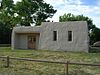
July 14, 1988 West of U.S. Routes 62/180 off County Road 418
32°06′36″N 104°28′04″W / 32.11°N 104.467778°WCarlsbad 24 Sallie Chisum Robert House March 2, 1984 801 W. Texas St.
32°50′35″N 104°24′21″W / 32.843056°N 104.405833°WArtesia 25 Dr. Robert M. Ross House March 2, 1984 1002 S. Roselawn Ave.
32°49′53″N 104°23′58″W / 32.831389°N 104.399444°WArtesia 26 Rober Weems and Mary E. Tansill House October 10, 2002 1612 N. Guadalupe St.
32°26′57″N 104°13′53″W / 32.449167°N 104.231389°WCarlsbad See also
- List of National Historic Landmarks in New Mexico
- National Register of Historic Places listings in New Mexico
References
- ^ The latitude and longitude information provided in this table was derived originally from the National Register Information System, which has been found to be fairly accurate for about 99% of listings. For about 1% of NRIS original coordinates, experience has shown that one or both coordinates are typos or otherwise extremely far off; some corrections may have been made. A more subtle problem causes many locations to be off by up to 150 yards, depending on location in the country: most NRIS coordinates were derived from tracing out latitude and longitudes off of USGS topographical quadrant maps created under the North American Datum of 1927, which differs from the current, highly accurate WGS84 GPS system used by Google maps. Chicago is about right, but NRIS longitudes in Washington are higher by about 4.5 seconds, and are lower by about 2.0 seconds in Maine. Latitudes differ by about 1.0 second in Florida. Some locations in this table may have been corrected to current GPS standards.
- ^ "National Register of Historic Places: Weekly List Actions". National Park Service, United States Department of the Interior. Retrieved on November 10, 2011.
- ^ Numbers represent an ordering by significant words. Various colorings, defined here, differentiate National Historic Landmark sites and National Register of Historic Places Districts from other NRHP buildings, structures, sites or objects.
- ^ "National Register Information System". National Register of Historic Places. National Park Service. . http://nrhp.focus.nps.gov/natreg/docs/All_Data.html.
U.S. National Register of Historic Places Topics Lists by states Alabama • Alaska • Arizona • Arkansas • California • Colorado • Connecticut • Delaware • Florida • Georgia • Hawaii • Idaho • Illinois • Indiana • Iowa • Kansas • Kentucky • Louisiana • Maine • Maryland • Massachusetts • Michigan • Minnesota • Mississippi • Missouri • Montana • Nebraska • Nevada • New Hampshire • New Jersey • New Mexico • New York • North Carolina • North Dakota • Ohio • Oklahoma • Oregon • Pennsylvania • Rhode Island • South Carolina • South Dakota • Tennessee • Texas • Utah • Vermont • Virginia • Washington • West Virginia • Wisconsin • WyomingLists by territories Lists by associated states Other Municipalities and communities of Eddy County, New Mexico Cities 
Villages CDP Atoka | La Huerta | Livingston Wheeler | Loco Hills | Malaga | Whites City
Unincorporated
communityQueen
Categories:- National Register of Historic Places in New Mexico by county
- Eddy County, New Mexico
- History of Eddy County, New Mexico
-


Wikimedia Foundation. 2010.