- Tijeras, New Mexico
-
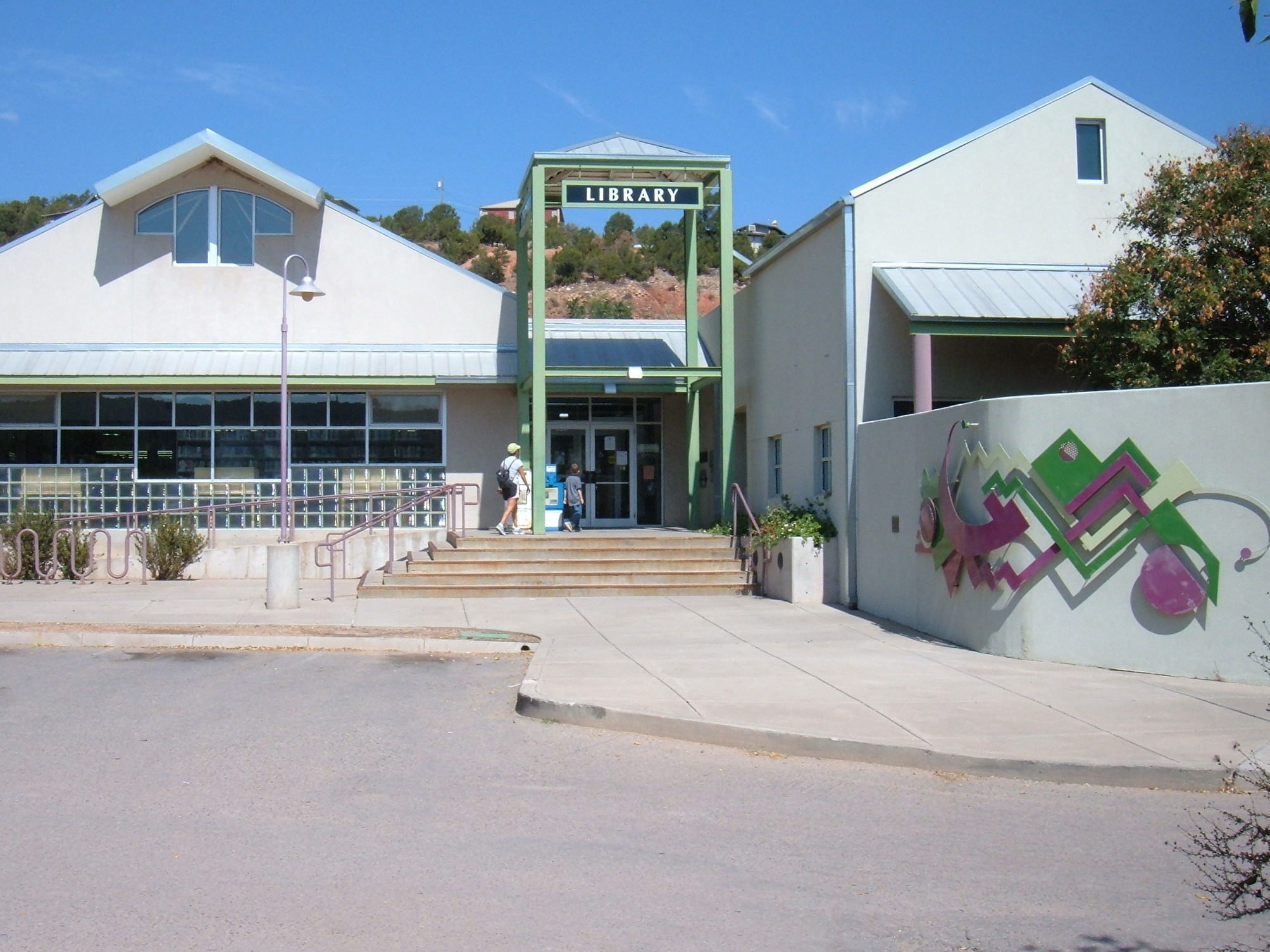
Tijeras, New Mexico — Village — East Mountain Library in Tijeras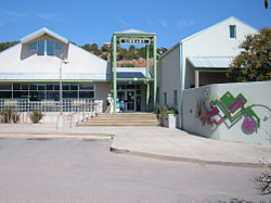 Location of Tijeras, New Mexico
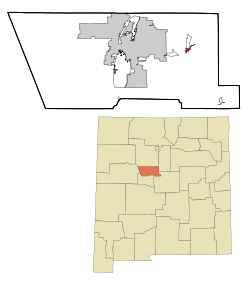
Coordinates: 35°5′15″N 106°22′38″W / 35.0875°N 106.37722°WCoordinates: 35°5′15″N 106°22′38″W / 35.0875°N 106.37722°W Country United States State New Mexico County Bernalillo Area - Total 0.8 sq mi (2.2 km2) - Land 0.8 sq mi (2.2 km2) - Water 0.0 sq mi (0.0 km2) Elevation 6,322 ft (1,927 m) Population (2000) - Total 474 - Density 559.5/sq mi (216.0/km2) Time zone Mountain (MST) (UTC-7) - Summer (DST) MDT (UTC-6) ZIP code 87059 Area code(s) 505 FIPS code 35-77880 GNIS feature ID 0911709 Tijeras is a village in Bernalillo County, New Mexico, United States. The population was 474 at the 2000 census. It is part of the Albuquerque Metropolitan Statistical Area.
Contents
Geography
Tijeras is located at 35°5′15″N 106°22′38″W / 35.0875°N 106.37722°W (35.087550, -106.377354)[1], at the junction of Tijeras Canyon, leading to the west, toward Albuquerque, and Cedro Canyon, leading to the south, toward the Manzano Mountains. New Mexico State Highway 14 leads north from the village, toward Cedar Crest, Sandia Crest, Madrid and Santa Fe.
According to the United States Census Bureau, the village has a total area of 0.9 square miles (2.3 km2), all of it land.
Demographics
As of the census[2] of 2000, there were 474 people, 191 households, and 131 families residing in the village. The population density was 559.5 people per square mile (215.3/km²). There were 210 housing units at an average density of 247.9 per square mile (95.4/km²). The racial makeup of the village was 65.82% White, 1.05% Native American, 0.21% Asian, 28.06% from other races, and 4.85% from two or more races. Hispanic or Latino of any race were 56.33% of the population.
There were 191 households out of which 33.5% had children under the age of 18 living with them, 52.9% were married couples living together, 10.5% had a female householder with no husband present, and 31.4% were non-families. 24.6% of all households were made up of individuals and 9.4% had someone living alone who was 65 years of age or older. The average household size was 2.48 and the average family size was 3.02.
In the village the population was spread out with 26.8% under the age of 18, 7.2% from 18 to 24, 28.5% from 25 to 44, 27.2% from 45 to 64, and 10.3% who were 65 years of age or older. The median age was 39 years. For every 100 females there were 107.0 males. For every 100 females age 18 and over, there were 111.6 males.
The median income for a household in the village was $34,167, and the median income for a family was $46,250. Males had a median income of $31,750 versus $25,179 for females. The per capita income for the village was $18,836. About 9.6% of families and 9.5% of the population were below the poverty line, including 5.4% of those under age 18 and 20.0% of those age 65 or over.
References
- ^ "US Gazetteer files: 2010, 2000, and 1990". United States Census Bureau. 2011-02-12. http://www.census.gov/geo/www/gazetteer/gazette.html. Retrieved 2011-04-23.
- ^ "American FactFinder". United States Census Bureau. http://factfinder.census.gov. Retrieved 2008-01-31.
External links
 Media related to Tijeras, New Mexico at Wikimedia Commons
Municipalities and communities of Bernalillo County, New Mexico Cities 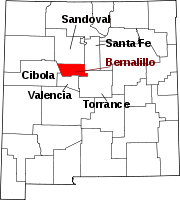
Villages Los Ranchos de Albuquerque | Tijeras
CDPs Unincorporated
communitiesCarpenter | Isleta Pueblo | Zuzax
Indian reservations Footnotes ‡This populated place also has portions in an adjacent county or counties
Categories:- Populated places in Bernalillo County, New Mexico
- Villages in New Mexico
- Communities on U.S. Route 66
- Albuquerque metropolitan area
- Populated places in New Mexico with Hispanic majority populations


Wikimedia Foundation. 2010.