- National Register of Historic Places listings in Wetzel County, West Virginia
-
 Location of Wetzel County in West Virginia
This is a list of the National Register of Historic Places listings in Wetzel County, West Virginia.
This is intended to be a complete list of the properties and districts on the National Register of Historic Places in Wetzel County, West Virginia, United States. The locations of National Register properties and districts for which the latitude and longitude coordinates are included below, may be seen in a Google map.[1]
There are 4 properties and districts listed on the National Register in the county.
-
- This National Park Service list is complete through NPS recent listings posted November 10, 2011.[2]
Contents: Counties in West Virginia Barbour - Berkeley - Boone - Braxton - Brooke - Cabell - Calhoun - Clay - Doddridge - Fayette - Gilmer - Grant - Greenbrier - Hampshire - Hancock - Hardy - Harrison - Jackson - Jefferson - Kanawha - Lewis - Lincoln - Logan - Marion - Marshall - Mason - McDowell - Mercer - Mineral - Mingo - Monongalia - Monroe - Morgan - Nicholas - Ohio - Pendleton - Pleasants - Pocahontas - Preston - Putnam - Raleigh - Randolph - Ritchie - Roane - Summers - Taylor - Tucker - Tyler - Upshur - Wayne - Webster - Wetzel - Wirt - Wood - Wyoming
Current listings
[3] Landmark name[4] Image Date listed Location City or Town Summary 1 Fish Creek Covered Bridge 
June 4, 1981 County Route 13 just west of US 250/WV 7
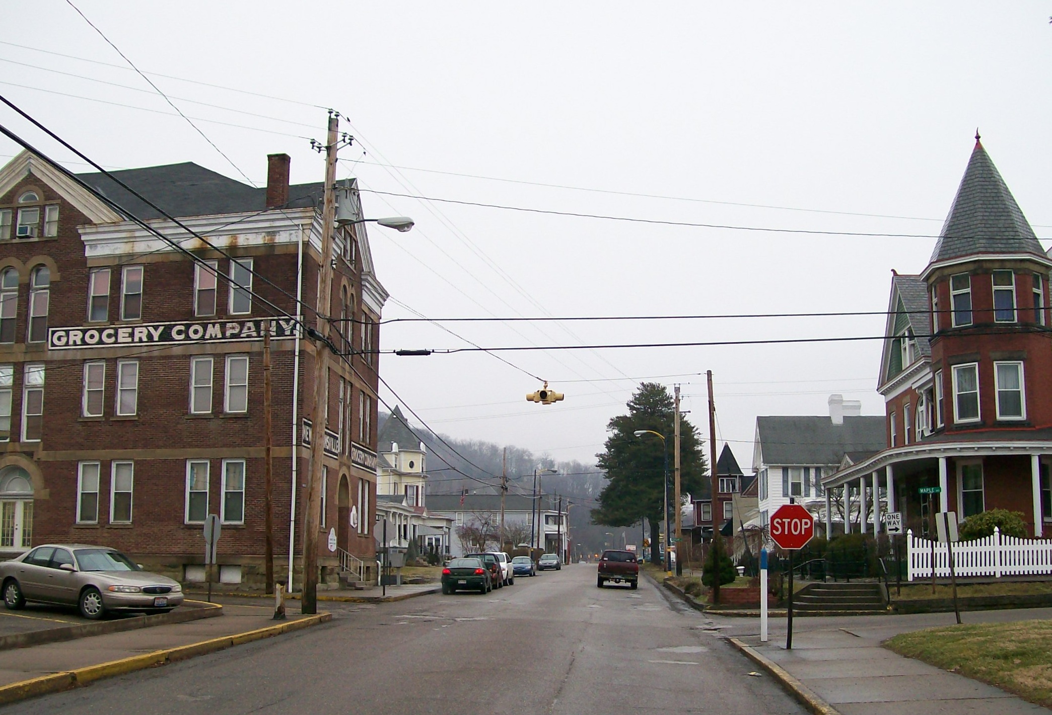
39°40′20″N 80°27′09″W / 39.672222°N 80.4525°WHundred 2 New Martinsville Downtown Historic District 
September 23, 1988 Main and Washington Sts. and Monroe Alley
39°38′28″N 80°51′16″W / 39.641111°N 80.854444°WNew Martinsville 3 North Street Historic District 
June 7, 1988 North St. between Florida and the railroad tracks
39°38′33″N 80°51′42″W / 39.6425°N 80.861667°WNew Martinsville 4 War Memorial Building 
July 9, 1997 501 N. Main St.
39°38′42″N 80°51′52″W / 39.645°N 80.864444°WNew Martinsville See also
- List of National Historic Landmarks in West Virginia
- National Register of Historic Places listings in West Virginia
References
- ^ The latitude and longitude information provided in this table was derived originally from the National Register Information System, which has been found to be fairly accurate for about 99% of listings. For about 1% of NRIS original coordinates, experience has shown that one or both coordinates are typos or otherwise extremely far off; some corrections may have been made. A more subtle problem causes many locations to be off by up to 150 yards, depending on location in the country: most NRIS coordinates were derived from tracing out latitude and longitudes off of USGS topographical quadrant maps created under North American Datum of 1927, which differs from the current, highly accurate GPS system used by Google maps. Chicago is about right, but NRIS longitudes in Washington are higher by about 4.5 seconds, and are lower by about 2.0 seconds in Maine. Latitudes differ by about 1.0 second in Florida. Some locations in this table may have been corrected to current GPS standards.
- ^ "National Register of Historic Places: Weekly List Actions". National Park Service, United States Department of the Interior. Retrieved on November 10, 2011.
- ^ Numbers represent an ordering by significant words. Various colorings, defined here, differentiate National Historic Landmark sites and National Register of Historic Places Districts from other NRHP buildings, structures, sites or objects.
- ^ "National Register Information System". National Register of Historic Places. National Park Service. 2008-04-24. http://nrhp.focus.nps.gov/natreg/docs/All_Data.html.
U.S. National Register of Historic Places in West Virginia Lists by county Barbour • Berkeley • Boone • Braxton • Brooke • Cabell • Calhoun • Clay • Doddridge • Fayette • Gilmer • Grant • Greenbrier • Hampshire • Hancock • Hardy • Harrison • Jackson • Jefferson • Kanawha • Lewis • Lincoln • Logan • Marion • Marshall • Mason • McDowell • Mercer • Mineral • Mingo • Monongalia • Monroe • Morgan • Nicholas • Ohio • Pendleton • Pleasants • Pocahontas • Preston • Putnam • Raleigh • Randolph • Ritchie • Roane • Summers • Taylor • Tucker • Tyler • Upshur • Wayne • Webster • Wetzel • Wirt • Wood • Wyoming

Other lists Keeper of the Register • History of the National Register of Historic Places • Property types • Historic district • Contributing property Municipalities and communities of Wetzel County, West Virginia County seat: New Martinsville Cities 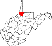
Towns CDPs Unincorporated
communitiesBig Run | Brink‡ | Burton | Coburn | Earnshaw | Folsom | Green Hill | Hastings | Knob Fork | Porters Falls | Proctor | Rockport | Wileyville
Footnotes ‡This populated place also has portions in an adjacent county or counties
Categories:- National Register of Historic Places in West Virginia by county
- Wetzel County, West Virginia
-


Wikimedia Foundation. 2010.