- National Register of Historic Places listings in Tucker County, West Virginia
-
 Location of Tucker County in West Virginia
This is a list of the National Register of Historic Places listings in Tucker County, West Virginia.
This is intended to be a complete list of the properties and districts on the National Register of Historic Places in Tucker County, West Virginia, United States. The locations of National Register properties and districts for which the latitude and longitude coordinates are included below, may be seen in a Google map.[1]
There are 9 properties and districts listed on the National Register in the county.
-
- This National Park Service list is complete through NPS recent listings posted November 10, 2011.[2]
Contents: Counties in West Virginia Barbour - Berkeley - Boone - Braxton - Brooke - Cabell - Calhoun - Clay - Doddridge - Fayette - Gilmer - Grant - Greenbrier - Hampshire - Hancock - Hardy - Harrison - Jackson - Jefferson - Kanawha - Lewis - Lincoln - Logan - Marion - Marshall - Mason - McDowell - Mercer - Mineral - Mingo - Monongalia - Monroe - Morgan - Nicholas - Ohio - Pendleton - Pleasants - Pocahontas - Preston - Putnam - Raleigh - Randolph - Ritchie - Roane - Summers - Taylor - Tucker - Tyler - Upshur - Wayne - Webster - Wetzel - Wirt - Wood - Wyoming
Current listings
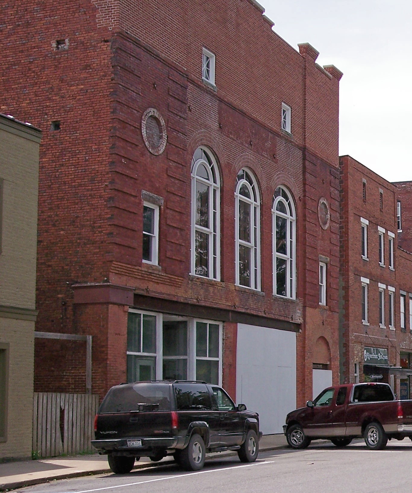
[3] Landmark name[4] Image Date listed Location City or Town Summary 1 Cottrill Opera House 
August 29, 1979 East Ave.
39°09′01″N 79°29′53″W / 39.150278°N 79.498056°WThomas 2 Davis Coal and Coke Company Administrative Building October 6, 2011 570 Douglas Rd.
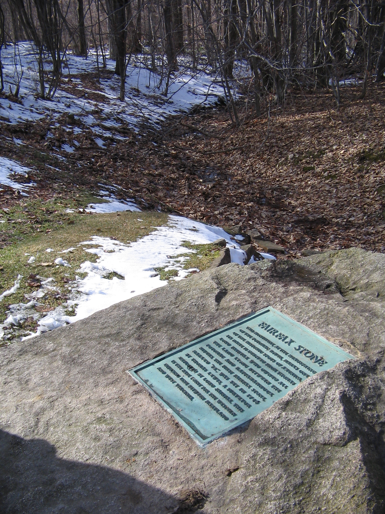
39°08′33″N 79°30′12″W / 39.1425°N 79.503333°WThomas 3 Fairfax Stone Site 
January 26, 1970 North of William at corner of Grant, Preston, and Tucker counties
39°11′42″N 79°29′16″W / 39.195°N 79.487778°WThomas 4 Herman August Meyer House July 15, 2010 287 Thomas Ave.
39°07′49″N 79°27′48″W / 39.130278°N 79.463333°WDavis 5 St. George Academy November 29, 2001 County Road 1
39°09′49″N 79°41′57″W / 39.163611°N 79.699167°WSt. George 6 Thomas Commercial Historic District 
August 14, 1998 Roughly Spruce St. and East Ave. between First St. and Third St.; East Ave. west to the North Fork of the Blackwater River
39°09′46″N 79°29′34″W / 39.162778°N 79.492778°WThomas 7 Tucker County Bank Building August 26, 2010 1000 Walnut St.
39°06′06″N 79°40′59″W / 39.101667°N 79.683056°WParsons 8 Tucker County Courthouse and Jail 
August 23, 1984 1st and Walnut Sts.
39°05′49″N 79°40′51″W / 39.096944°N 79.680833°WParsons 9 Western Maryland Depot May 2, 1996 166½ Main St.
39°05′44″N 79°40′50″W / 39.095556°N 79.680556°WParsons See also
- List of National Historic Landmarks in West Virginia
- National Register of Historic Places listings in West Virginia
References
- ^ The latitude and longitude information provided in this table was derived originally from the National Register Information System, which has been found to be fairly accurate for about 99% of listings. For about 1% of NRIS original coordinates, experience has shown that one or both coordinates are typos or otherwise extremely far off; some corrections may have been made. A more subtle problem causes many locations to be off by up to 150 yards, depending on location in the country: most NRIS coordinates were derived from tracing out latitude and longitudes off of USGS topographical quadrant maps created under North American Datum of 1927, which differs from the current, highly accurate GPS system used by Google maps. Chicago is about right, but NRIS longitudes in Washington are higher by about 4.5 seconds, and are lower by about 2.0 seconds in Maine. Latitudes differ by about 1.0 second in Florida. Some locations in this table may have been corrected to current GPS standards.
- ^ "National Register of Historic Places: Weekly List Actions". National Park Service, United States Department of the Interior. Retrieved on November 10, 2011.
- ^ Numbers represent an ordering by significant words. Various colorings, defined here, differentiate National Historic Landmark sites and National Register of Historic Places Districts from other NRHP buildings, structures, sites or objects.
- ^ "National Register Information System". National Register of Historic Places. National Park Service. 2008-04-24. http://nrhp.focus.nps.gov/natreg/docs/All_Data.html.
U.S. National Register of Historic Places in West Virginia Lists by county Barbour • Berkeley • Boone • Braxton • Brooke • Cabell • Calhoun • Clay • Doddridge • Fayette • Gilmer • Grant • Greenbrier • Hampshire • Hancock • Hardy • Harrison • Jackson • Jefferson • Kanawha • Lewis • Lincoln • Logan • Marion • Marshall • Mason • McDowell • Mercer • Mineral • Mingo • Monongalia • Monroe • Morgan • Nicholas • Ohio • Pendleton • Pleasants • Pocahontas • Preston • Putnam • Raleigh • Randolph • Ritchie • Roane • Summers • Taylor • Tucker • Tyler • Upshur • Wayne • Webster • Wetzel • Wirt • Wood • Wyoming

Other lists Keeper of the Register • History of the National Register of Historic Places • Property types • Historic district • Contributing property Municipalities and communities of Tucker County, West Virginia County seat: Parsons Cities 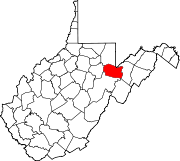
Towns Unincorporated
communitiesAuvil | Benbush | Bretz | Canaan Heights | Coketon | Cortland | Douglas | Elk | Gladwin | Hannahsville | Holly Meadows | Hovatter | Jenningston | Laneville | Lead Mine | Location | Mackeyville | Moore | Pierce | Pleasant Run | Pleasant Vale | Porterwood | Red Creek | St. George | Shafer | William
Ghost town Categories:- National Register of Historic Places in West Virginia by county
- Tucker County, West Virginia
-


Wikimedia Foundation. 2010.