- National Register of Historic Places listings in Harrison County, West Virginia
-
 Location of Harrison County in West Virginia
This is a list of the National Register of Historic Places listings in Harrison County, West Virginia.
This is intended to be a complete list of the properties and districts on the National Register of Historic Places in Harrison County, West Virginia, United States. The locations of National Register properties and districts for which the latitude and longitude coordinates are included below, may be seen in a Google map.[1]
There are 21 properties and districts listed on the National Register in the county.
-
- This National Park Service list is complete through NPS recent listings posted November 10, 2011.[2]
Contents: Counties in West Virginia Barbour - Berkeley - Boone - Braxton - Brooke - Cabell - Calhoun - Clay - Doddridge - Fayette - Gilmer - Grant - Greenbrier - Hampshire - Hancock - Hardy - Harrison - Jackson - Jefferson - Kanawha - Lewis - Lincoln - Logan - Marion - Marshall - Mason - McDowell - Mercer - Mineral - Mingo - Monongalia - Monroe - Morgan - Nicholas - Ohio - Pendleton - Pleasants - Pocahontas - Preston - Putnam - Raleigh - Randolph - Ritchie - Roane - Summers - Taylor - Tucker - Tyler - Upshur - Wayne - Webster - Wetzel - Wirt - Wood - Wyoming
Listings county-wide
[3] Landmark name Image Date listed Location City or town Summary 1 Daniel Bassel House August 22, 2002 County Route 25, south of its junction with WV 270
39°09′48″N 80°21′22″W / 39.163333°N 80.356111°WLost Creek 2 Bridgeport Lamp Chimney Company Bowstring Concrete Arch Bridge 
January 27, 1997 Between Mechanic St. and Baltimore & Ohio railroad tracks
39°17′03″N 80°15′22″W / 39.284167°N 80.256111°WBridgeport 3 Clarksburg Downtown Historic District April 12, 1982 Roughly bounded by Elk, Creek, 7th, and Main Sts.
39°16′47″N 80°20′22″W / 39.279722°N 80.339444°WClarksburg 4 Edgewood Manor July 6, 2005 0.25 miles north of U.S. Route 50 interchange on U.S. Route 19
39°18′28″N 80°21′05″W / 39.307778°N 80.351389°WClarksburg 5 Fletcher Covered Bridge 
June 4, 1981 County Route 5/29 at junction of County Route 5
39°18′20″N 80°28′49″W / 39.305556°N 80.480278°WMaken 6 Glen Elk Historic District November 24, 1993 Roughly bounded by Elk Creek and the Baltimore & Ohio railroad tracks
39°17′03″N 80°20′20″W / 39.284167°N 80.338889°WClarksburg 7 Indian Cave Petroglyphs 
March 16, 1976 Address Restricted Good Hope 8 Governor Joseph Johnson House March 19, 1987 424 Oakdale Ave.
39°17′07″N 80°15′32″W / 39.285278°N 80.258889°WBridgeport 9 Lost Creek Baltimore and Ohio Railroad Depot July 6, 2005 Main St., Lost Creek Rd., and County Route 48
39°09′37″N 80°21′06″W / 39.160278°N 80.351667°WLost Creek 10 Quality Hill Historic District August 22, 1985 East Main St.
39°16′43″N 80°19′55″W / 39.278611°N 80.331944°WClarksburg 11 Quiet Dell School March 12, 2001 Off WV 20 on County Route 20/79
39°13′26″N 80°18′00″W / 39.223889°N 80.3°WMount Clare 12 Salem College Administration Building March 30, 1989 223 W. Main St.
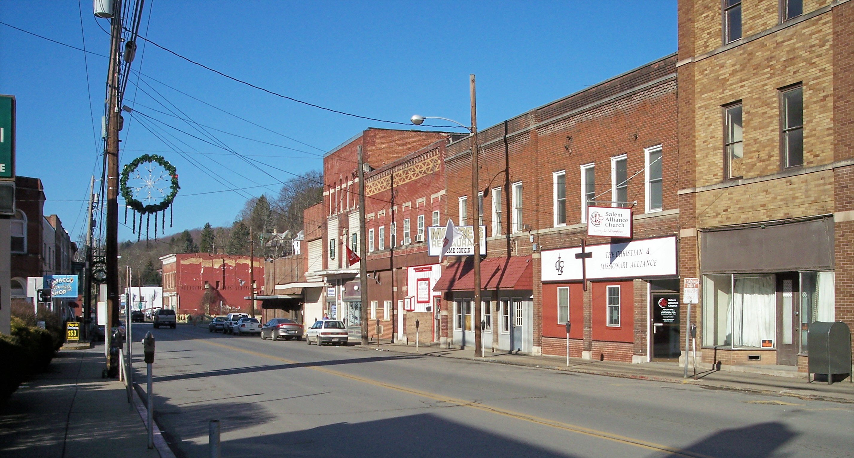
39°17′01″N 80°34′02″W / 39.283611°N 80.567222°WSalem 13 Salem Historic District 
December 2, 1980 WV 23
39°16′58″N 80°33′32″W / 39.282778°N 80.558889°WSalem 14 Levi Shinn House July 16, 1973 Clarksburg Rd. (U.S. Route 19)
39°23′13″N 80°18′40″W / 39.386944°N 80.311111°WShinnston 15 Shinnston Historic District 
April 1, 1998 Roughly bounded by Charles, East, and Clement Sts., and West Fork River
39°23′45″N 80°18′03″W / 39.395833°N 80.300833°WShinnston 16 Simpson Creek Covered Bridge 
June 4, 1981 County Route 24/2 at junction of County Route 24
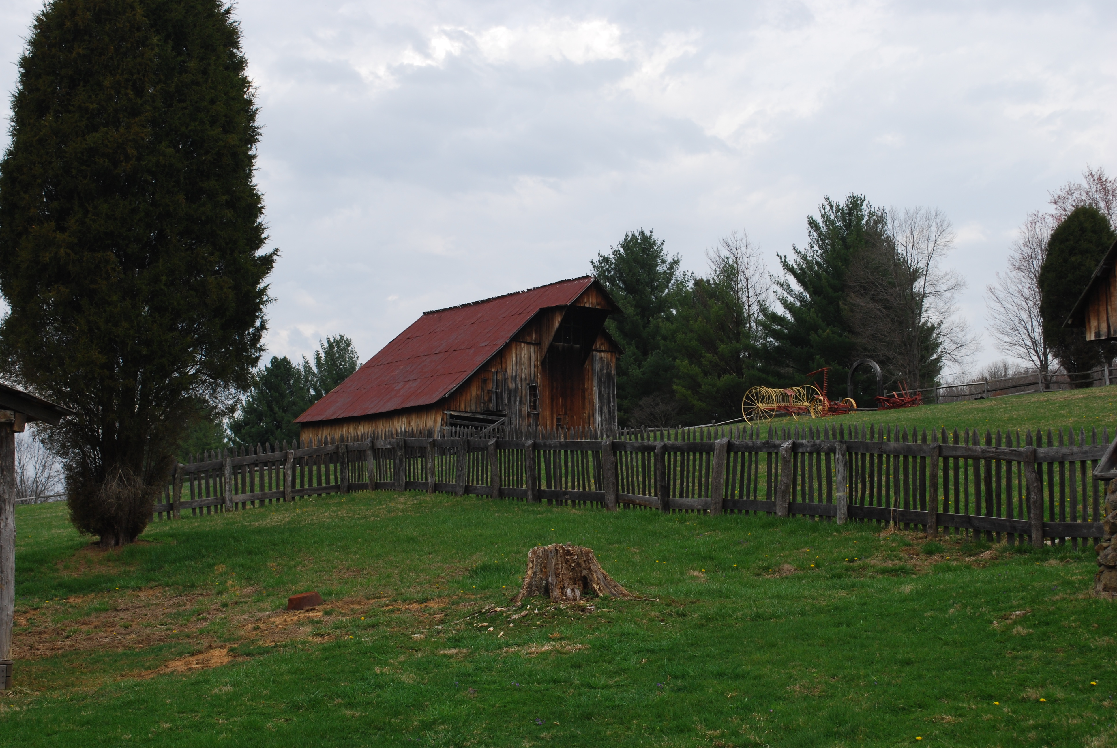
39°18′31″N 80°16′47″W / 39.308611°N 80.279722°WBridgeport 17 Watters Smith Farm on Duck Creek 
May 16, 1974 County Route 25/6
39°10′12″N 80°24′38″W / 39.17°N 80.410556°WLost Creek 18 Stealey-Goff-Vance House September 25, 1979 123 W. Main St.
39°16′42″N 80°20′09″W / 39.278333°N 80.335833°WClarksburg 19 Templemoor April 15, 1982 WV 20
39°08′41″N 80°14′27″W / 39.144722°N 80.240833°WClarksburg 20 Trinity Memorial Methodist Episcopal Church April 26, 1984 420 Ben St.
39°16′36″N 80°20′11″W / 39.276667°N 80.336389°WClarksburg Demolished[4] 21 Waldomore 
October 4, 1978 W. Pike and N. 4th Sts.
39°16′54″N 80°20′25″W / 39.281667°N 80.340278°WClarksburg Formerly listed
[3] Landmark name Image Date listed Location City or town Summary 1 Nathan Goff, Jr. House February 18, 1994 463 W. Main St.
39°16′47.7″N 80°20′31.6″W / 39.279917°N 80.342111°WClarksburg Added on December 12, 1976, delisted in 1994 after demolition in 1993. Included in Clarksburg Downtown Historic District. See also
- List of National Historic Landmarks in West Virginia
- National Register of Historic Places listings in West Virginia
References
- ^ The latitude and longitude information provided in this table was derived originally from the National Register Information System, which has been found to be fairly accurate for about 99% of listings. For about 1% of NRIS original coordinates, experience has shown that one or both coordinates are typos or otherwise extremely far off; some corrections may have been made. A more subtle problem causes many locations to be off by up to 150 yards, depending on location in the country: most NRIS coordinates were derived from tracing out latitude and longitudes off of USGS topographical quadrant maps created under North American Datum of 1927, which differs from the current, highly accurate GPS system used by Google maps. Chicago is about right, but NRIS longitudes in Washington are higher by about 4.5 seconds, and are lower by about 2.0 seconds in Maine. Latitudes differ by about 1.0 second in Florida. Some locations in this table may have been corrected to current GPS standards.
- ^ "National Register of Historic Places: Weekly List Actions". National Park Service, United States Department of the Interior. Retrieved on November 10, 2011.
- ^ Numbers represent an ordering by significant words. Various colorings, defined here, differentiate National Historic Landmark sites and National Register of Historic Places Districts from other NRHP buildings, structures, sites or objects.
- ^ Harrison County, West Virginia Division of Culture and History, 2010. Accessed 2010-09-14.
U.S. National Register of Historic Places in West Virginia Lists by county Barbour • Berkeley • Boone • Braxton • Brooke • Cabell • Calhoun • Clay • Doddridge • Fayette • Gilmer • Grant • Greenbrier • Hampshire • Hancock • Hardy • Harrison • Jackson • Jefferson • Kanawha • Lewis • Lincoln • Logan • Marion • Marshall • Mason • McDowell • Mercer • Mineral • Mingo • Monongalia • Monroe • Morgan • Nicholas • Ohio • Pendleton • Pleasants • Pocahontas • Preston • Putnam • Raleigh • Randolph • Ritchie • Roane • Summers • Taylor • Tucker • Tyler • Upshur • Wayne • Webster • Wetzel • Wirt • Wood • Wyoming

Other lists Keeper of the Register • History of the National Register of Historic Places • Property types • Historic district • Contributing property Municipalities and communities of Harrison County, West Virginia County seat: Clarksburg Cities Bridgeport | Clarksburg | Salem | Shinnston | Stonewood

Towns CDPs Despard | Enterprise | Gypsy | Spelter | Wolf Summit
Other
localitiesArlington | Dawmont | Dixie | East Salem | Glen Falls | Haywood | Hepzibah | Jimtown | McWhorter | Meadowbrook | Mount Clare | Peora | Pine Bluff | Quiet Dell | Reynoldsville | Wallace | Wilsonburg | Wyatt
-


Wikimedia Foundation. 2010.