- National Register of Historic Places listings in Braxton County, West Virginia
-
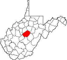 Location of Braxton County in West Virginia
This is a list of the National Register of Historic Places listings in Braxton County, West Virginia.
This is intended to be a complete list of the properties and districts on the National Register of Historic Places in Braxton County, West Virginia, United States. The locations of National Register properties and districts for which the latitude and longitude coordinates are included below, may be seen in a Google map.[1]
There are 10 properties and districts listed on the National Register in the county.
-
- This National Park Service list is complete through NPS recent listings posted November 10, 2011.[2]
Contents: Counties in West Virginia Barbour - Berkeley - Boone - Braxton - Brooke - Cabell - Calhoun - Clay - Doddridge - Fayette - Gilmer - Grant - Greenbrier - Hampshire - Hancock - Hardy - Harrison - Jackson - Jefferson - Kanawha - Lewis - Lincoln - Logan - Marion - Marshall - Mason - McDowell - Mercer - Mineral - Mingo - Monongalia - Monroe - Morgan - Nicholas - Ohio - Pendleton - Pleasants - Pocahontas - Preston - Putnam - Raleigh - Randolph - Ritchie - Roane - Summers - Taylor - Tucker - Tyler - Upshur - Wayne - Webster - Wetzel - Wirt - Wood - Wyoming
Current listings
[3] Landmark name[4] Image Date listed Location City or Town Summary 1 Burnsville Bridge March 17, 1995 Old Bridge St. over the Little Kanawha River
38°51′19″N 80°39′25″W / 38.855278°N 80.656944°WBurnsville 2 Cunningham House and Outbuildings 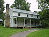
March 21, 1984 Bulltown Historic Area at Burnsville Lake[5]
38°47′34″N 80°33′40″W / 38.792778°N 80.561111°WNapier 3 Gassaway Depot March 17, 1994 Between 4th and 5th Sts.
38°40′16″N 80°46′36″W / 38.671111°N 80.776667°WGassaway 4 William Edgar Haymond House April 21, 2004 110 S. Stonewall St.
38°39′51″N 80°42′33″W / 38.664167°N 80.709167°WSutton 5 Old Sutton High School August 29, 1979 N. Hill Rd
38°40′00″N 80°42′26″W / 38.666667°N 80.707222°WSutton 6 Michael Smith House September 28, 2006 End of County Route 5/1, 1 mi (1.6 km) from its junction with County Route 19/26
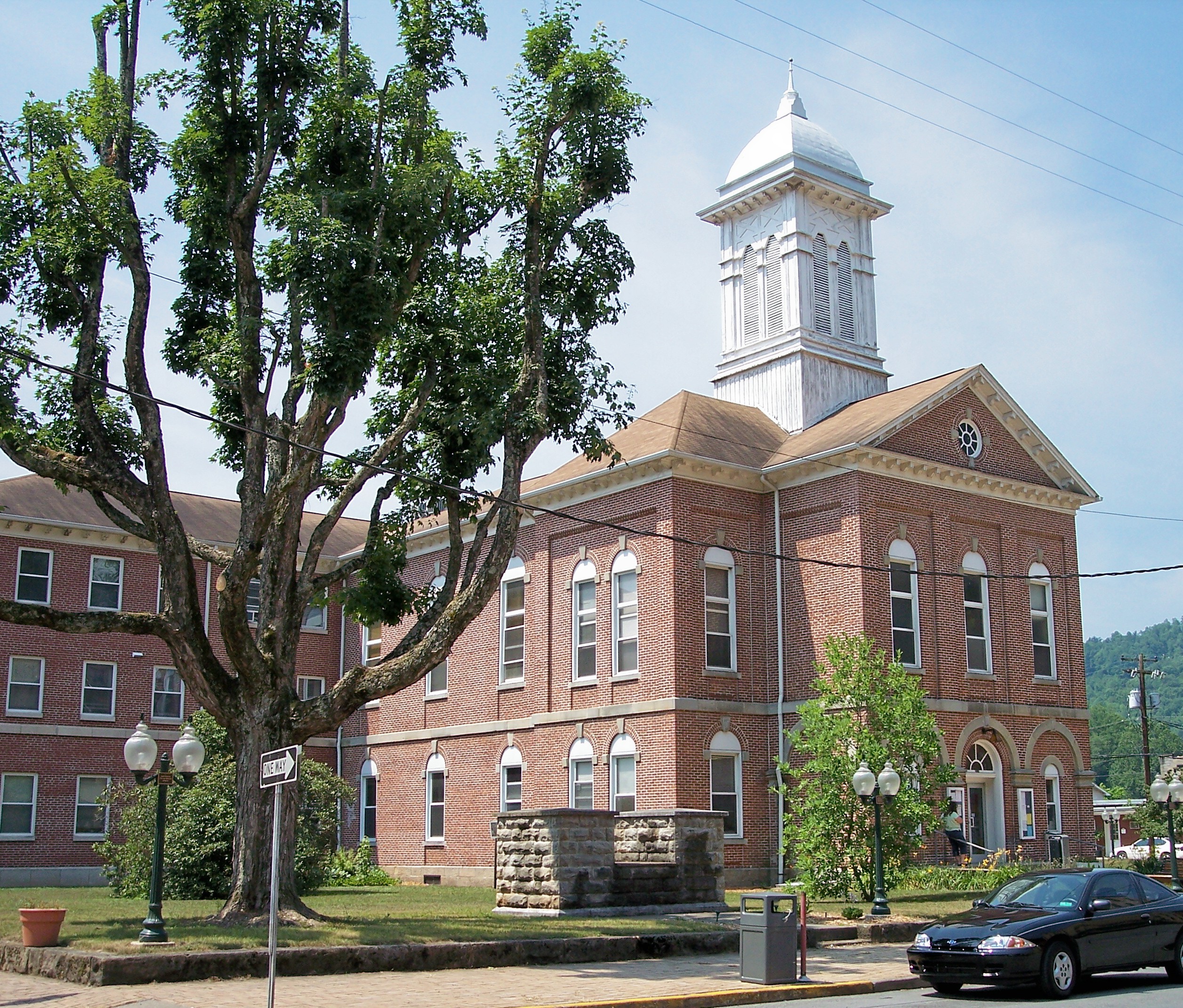
38°48′39″N 80°48′04″W / 38.810833°N 80.801111°WCedarville 7 Sutton Downtown Historic District 
July 10, 1987 Roughly bounded by Main St., River View Dr., and First St.
38°39′51″N 80°42′28″W / 38.664167°N 80.707778°WSutton 8 Union Civil War Fortification March 21, 1984 Bulltown Historic Area at Burnsville Lake[5]
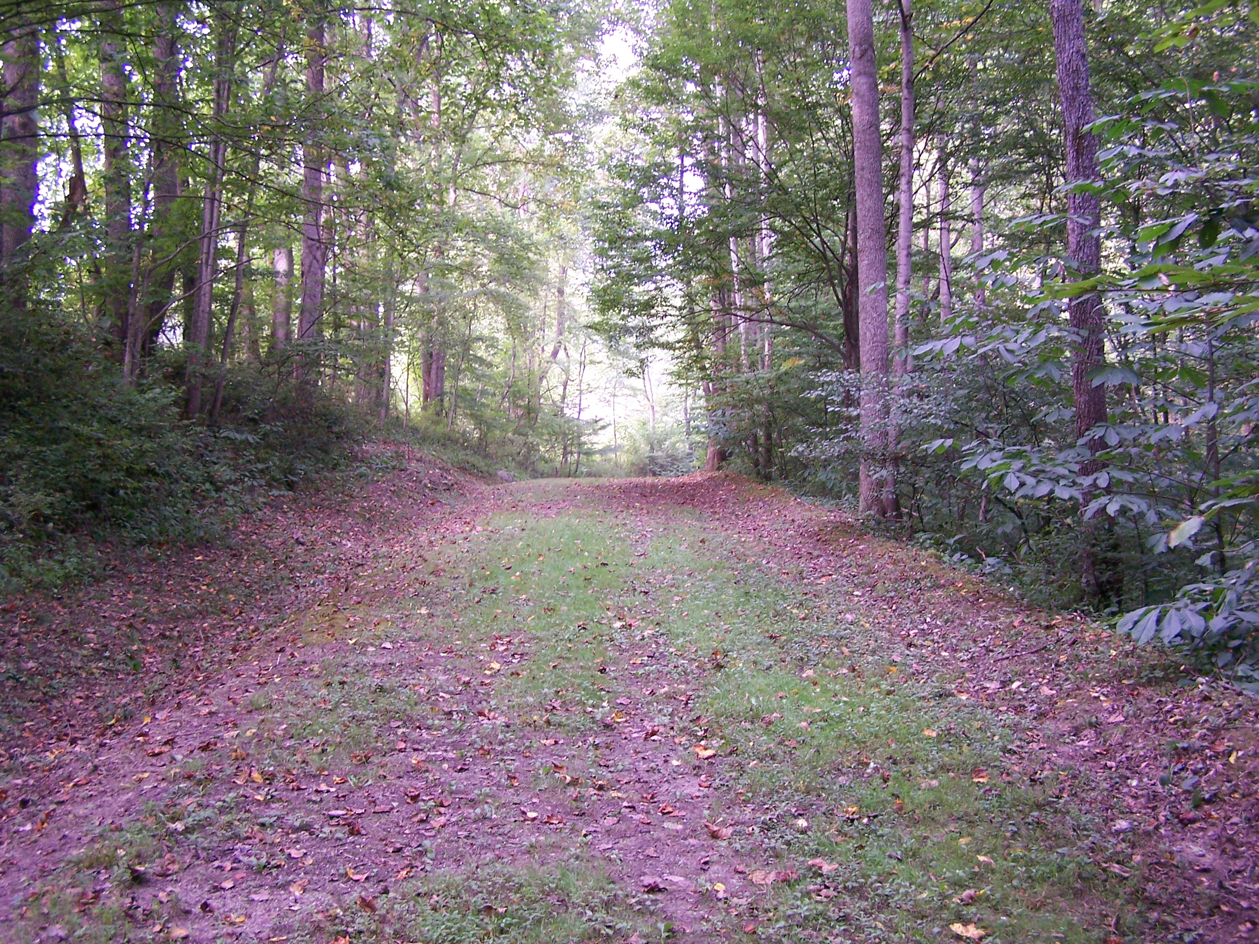
38°47′23″N 80°33′51″W / 38.789722°N 80.564167°WNapier 9 Weston and Gauley Bridge Turnpike 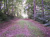
January 28, 1999 Section between Stonewell Jackson Lake and Burnsville Lake
38°49′39″N 80°32′07″W / 38.8275°N 80.535278°WBurnsville 10 Windy Run Grade School January 12, 1984 Junction of CR 38 and CR 19/48
38°35′57″N 80°43′27″W / 38.599167°N 80.724167°WTesla See also
- List of National Historic Landmarks in West Virginia
- National Register of Historic Places listings in West Virginia
References
- ^ The latitude and longitude information provided in this table was derived originally from the National Register Information System, which has been found to be fairly accurate for about 99% of listings. For about 1% of NRIS original coordinates, experience has shown that one or both coordinates are typos or otherwise extremely far off; some corrections may have been made. A more subtle problem causes many locations to be off by up to 150 yards, depending on location in the country: most NRIS coordinates were derived from tracing out latitude and longitudes off of USGS topographical quadrant maps created under the North American Datum of 1927, which differs from the current, highly accurate WGS84 GPS system used by Google maps. Chicago is about right, but NRIS longitudes in Washington are higher by about 4.5 seconds, and are lower by about 2.0 seconds in Maine. Latitudes differ by about 1.0 second in Florida. Some locations in this table may have been corrected to current GPS standards.
- ^ "National Register of Historic Places: Weekly List Actions". National Park Service, United States Department of the Interior. Retrieved on November 10, 2011.
- ^ Numbers represent an ordering by significant words. Various colorings, defined here, differentiate National Historic Landmark sites and National Register of Historic Places Districts from other NRHP buildings, structures, sites or objects.
- ^ "National Register Information System". National Register of Historic Places. National Park Service. 2008-04-24. http://nrhp.focus.nps.gov/natreg/docs/All_Data.html.
- ^ a b The NRIS lists the Cunningham property as being simply "east of Napier" and restricts the address of the Union Fort; these locations are derived from "Bulltown Historic Area". U.S. Army Corps of Engineers, Huntington District. Archived from the original on 2009-01-18. http://www.webcitation.org/5dvUBTSFm. Retrieved 2009-01-18.
U.S. National Register of Historic Places in West Virginia Lists by county Barbour • Berkeley • Boone • Braxton • Brooke • Cabell • Calhoun • Clay • Doddridge • Fayette • Gilmer • Grant • Greenbrier • Hampshire • Hancock • Hardy • Harrison • Jackson • Jefferson • Kanawha • Lewis • Lincoln • Logan • Marion • Marshall • Mason • McDowell • Mercer • Mineral • Mingo • Monongalia • Monroe • Morgan • Nicholas • Ohio • Pendleton • Pleasants • Pocahontas • Preston • Putnam • Raleigh • Randolph • Ritchie • Roane • Summers • Taylor • Tucker • Tyler • Upshur • Wayne • Webster • Wetzel • Wirt • Wood • Wyoming

Other lists Municipalities and communities of Braxton County, West Virginia Towns Burnsville | Flatwoods | Gassaway | Sutton

Unincorporated
communitiesFootnotes ‡This populated place also has portions in an adjacent county or counties
-


Wikimedia Foundation. 2010.