- National Register of Historic Places listings in Tyler County, West Virginia
-
 Location of Tyler County in West Virginia
This is a list of the National Register of Historic Places listings in Tyler County, West Virginia.
This is intended to be a complete list of the properties and districts on the National Register of Historic Places in Tyler County, West Virginia, United States. The locations of National Register properties and districts for which the latitude and longitude coordinates are included below, may be seen in a Google map.[1]
There are 10 properties and districts listed on the National Register in the county.
-
- This National Park Service list is complete through NPS recent listings posted November 10, 2011.[2]
Contents: Counties in West Virginia Barbour - Berkeley - Boone - Braxton - Brooke - Cabell - Calhoun - Clay - Doddridge - Fayette - Gilmer - Grant - Greenbrier - Hampshire - Hancock - Hardy - Harrison - Jackson - Jefferson - Kanawha - Lewis - Lincoln - Logan - Marion - Marshall - Mason - McDowell - Mercer - Mineral - Mingo - Monongalia - Monroe - Morgan - Nicholas - Ohio - Pendleton - Pleasants - Pocahontas - Preston - Putnam - Raleigh - Randolph - Ritchie - Roane - Summers - Taylor - Tucker - Tyler - Upshur - Wayne - Webster - Wetzel - Wirt - Wood - Wyoming
Current listings
[3] Landmark name[4] Image Date listed Location City or Town Summary 1 E. A. Durham House June 19, 1973 110 Chelsea St.
39°33′06″N 81°00′02″W / 39.551667°N 81.000556°WSistersville 2 Friendly City Building and Jail November 22, 1999 WV 2, Orchard St.
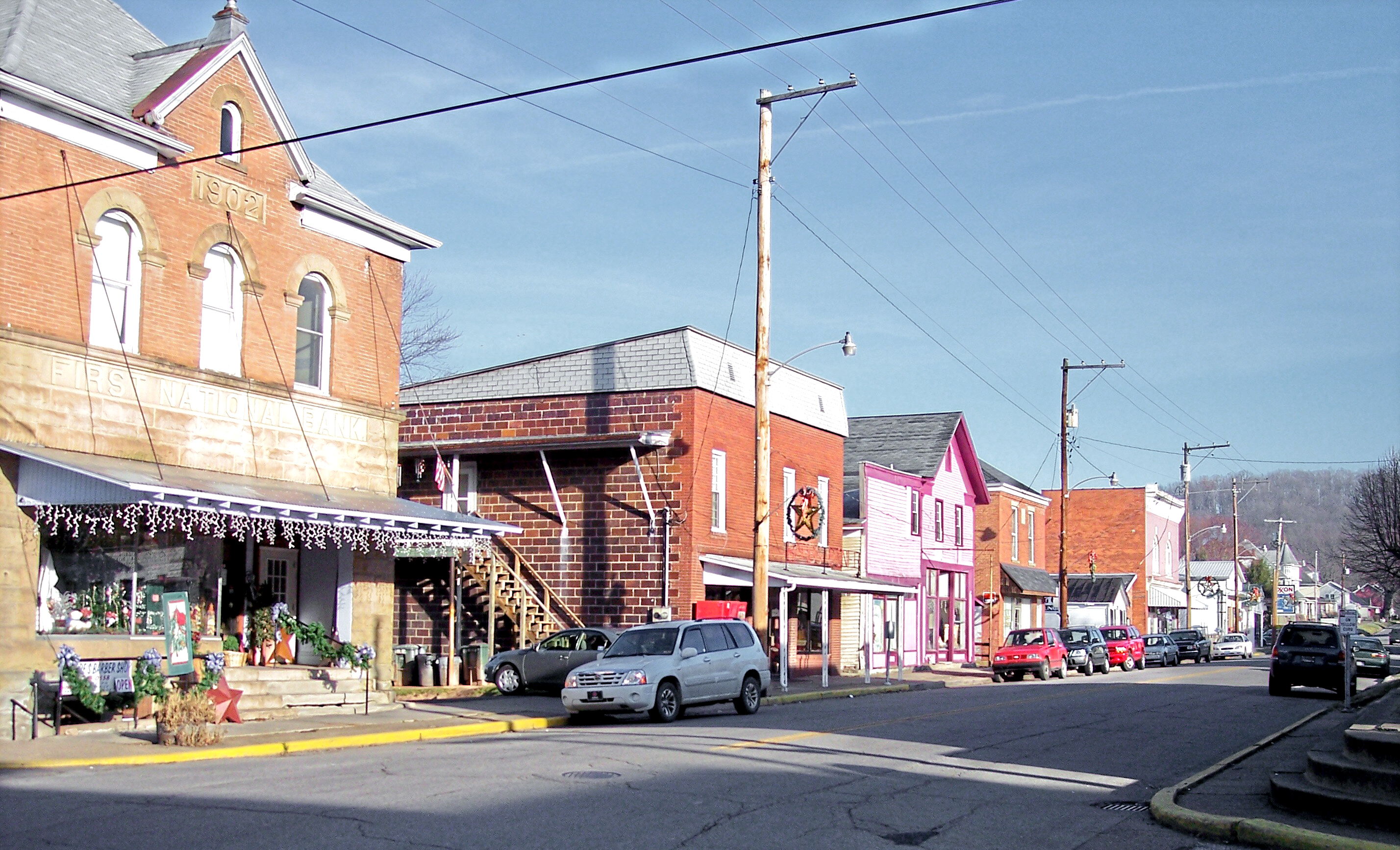
39°30′53″N 81°03′37″W / 39.514722°N 81.060278°WFriendly 3 Middlebourne Historic District 
July 9, 1993 Main, East, and Dodd Sts.
39°29′34″N 80°54′38″W / 39.492778°N 80.910556°WMiddlebourne 4 Sistersville City Hall October 5, 1972 City Sq., Main and Diamond Sts.
39°33′53″N 80°59′49″W / 39.564722°N 80.996944°WSistersville 5 Sistersville Historic District 
August 13, 1975 From Chelsea to the Ohio River between Catherine and both sides of Virginia Sts.
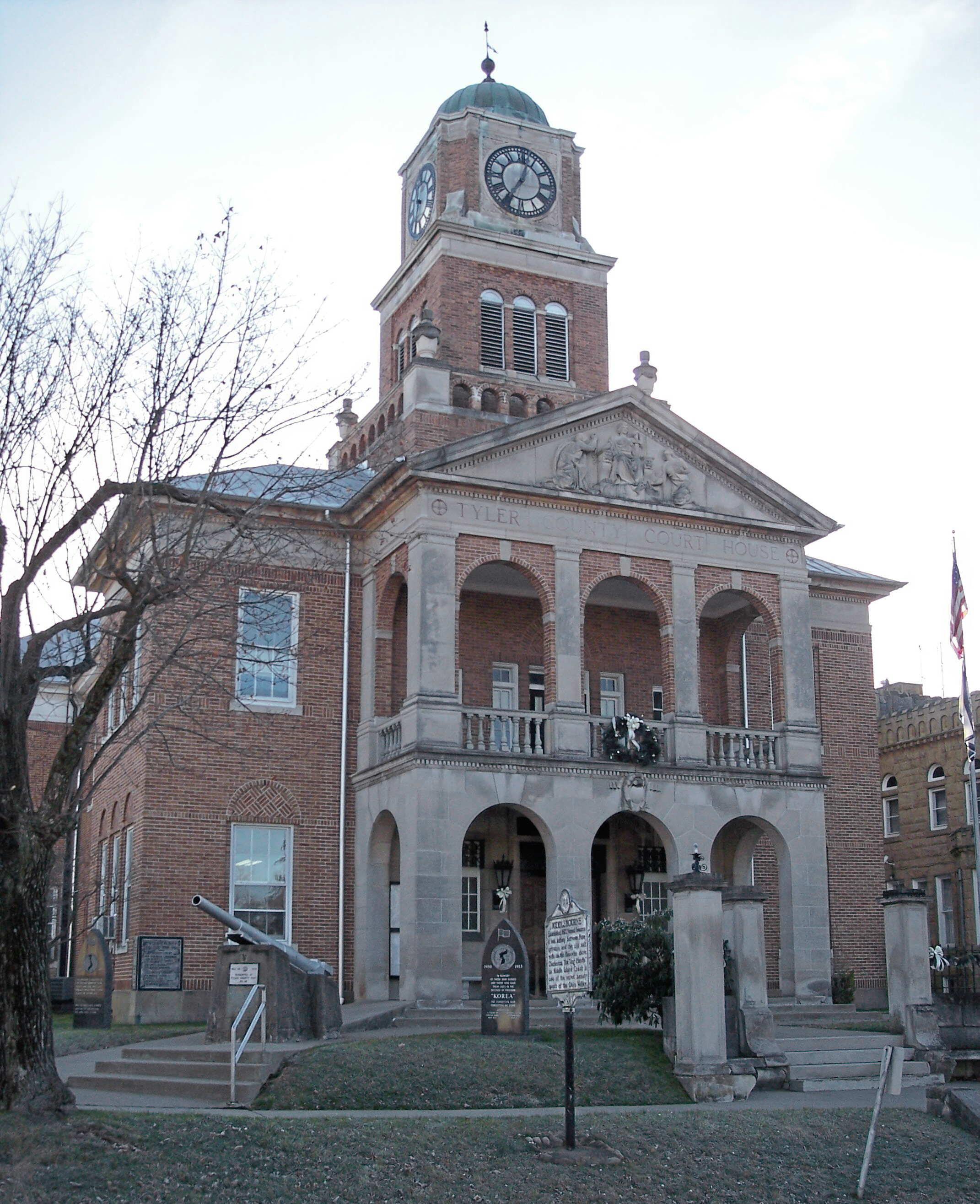
39°33′55″N 80°59′45″W / 39.565278°N 80.995833°WSistersville 6 Tyler County Courthouse and Jail 
June 23, 1980 Main and Dodd Sts.
39°29′31″N 80°54′14″W / 39.491944°N 80.903889°WMiddlebourne 7 Wells Inn October 5, 1972 316 Charles St.
39°33′48″N 80°59′55″W / 39.563333°N 80.998611°WSistersville 8 William Wells House July 21, 1987 WV 18
39°26′05″N 80°49′28″W / 39.434722°N 80.824444°WTyler 9 Wells-Schaff House January 7, 1986 500 S. Wells
39°33′25″N 81°00′19″W / 39.556944°N 81.005278°WSistersville 10 Wells-Twyford House April 29, 1991 Junction of WV 2 and Kahle St.
39°32′57″N 81°00′50″W / 39.549167°N 81.013889°WSistersville See also
- List of National Historic Landmarks in West Virginia
- National Register of Historic Places listings in West Virginia
References
- ^ The latitude and longitude information provided in this table was derived originally from the National Register Information System, which has been found to be fairly accurate for about 99% of listings. For about 1% of NRIS original coordinates, experience has shown that one or both coordinates are typos or otherwise extremely far off; some corrections may have been made. A more subtle problem causes many locations to be off by up to 150 yards, depending on location in the country: most NRIS coordinates were derived from tracing out latitude and longitudes off of USGS topographical quadrant maps created under North American Datum of 1927, which differs from the current, highly accurate GPS system used by Google maps. Chicago is about right, but NRIS longitudes in Washington are higher by about 4.5 seconds, and are lower by about 2.0 seconds in Maine. Latitudes differ by about 1.0 second in Florida. Some locations in this table may have been corrected to current GPS standards.
- ^ "National Register of Historic Places: Weekly List Actions". National Park Service, United States Department of the Interior. Retrieved on November 10, 2011.
- ^ Numbers represent an ordering by significant words. Various colorings, defined here, differentiate National Historic Landmark sites and National Register of Historic Places Districts from other NRHP buildings, structures, sites or objects.
- ^ "National Register Information System". National Register of Historic Places. National Park Service. 2008-04-24. http://nrhp.focus.nps.gov/natreg/docs/All_Data.html.
U.S. National Register of Historic Places in West Virginia Lists by county Barbour • Berkeley • Boone • Braxton • Brooke • Cabell • Calhoun • Clay • Doddridge • Fayette • Gilmer • Grant • Greenbrier • Hampshire • Hancock • Hardy • Harrison • Jackson • Jefferson • Kanawha • Lewis • Lincoln • Logan • Marion • Marshall • Mason • McDowell • Mercer • Mineral • Mingo • Monongalia • Monroe • Morgan • Nicholas • Ohio • Pendleton • Pleasants • Pocahontas • Preston • Putnam • Raleigh • Randolph • Ritchie • Roane • Summers • Taylor • Tucker • Tyler • Upshur • Wayne • Webster • Wetzel • Wirt • Wood • Wyoming

Other lists Keeper of the Register • History of the National Register of Historic Places • Property types • Historic district • Contributing property Municipalities and communities of Tyler County, West Virginia County seat: Middlebourne Cities 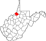
Towns Unincorporated
communitiesFootnotes ‡This populated place also has portions in an adjacent county or counties
Categories:- National Register of Historic Places in West Virginia by county
- Tyler County, West Virginia
-


Wikimedia Foundation. 2010.